
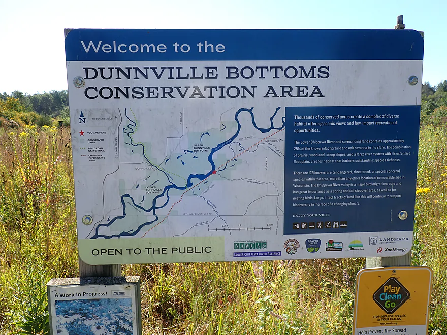
Welcome to Dunnville Bottoms
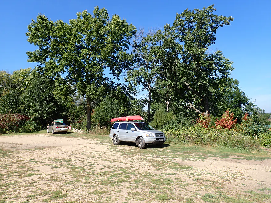
I’m not the only paddler launching at Tyrone’s Trail Park
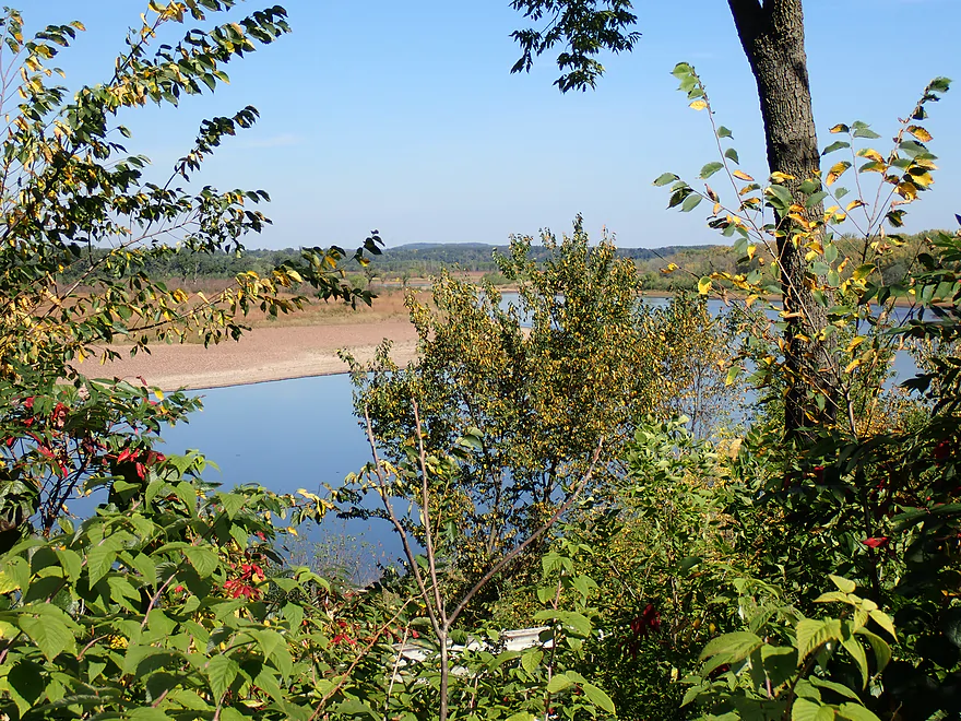
The park features an overlook, but ti’s a bit obstructed
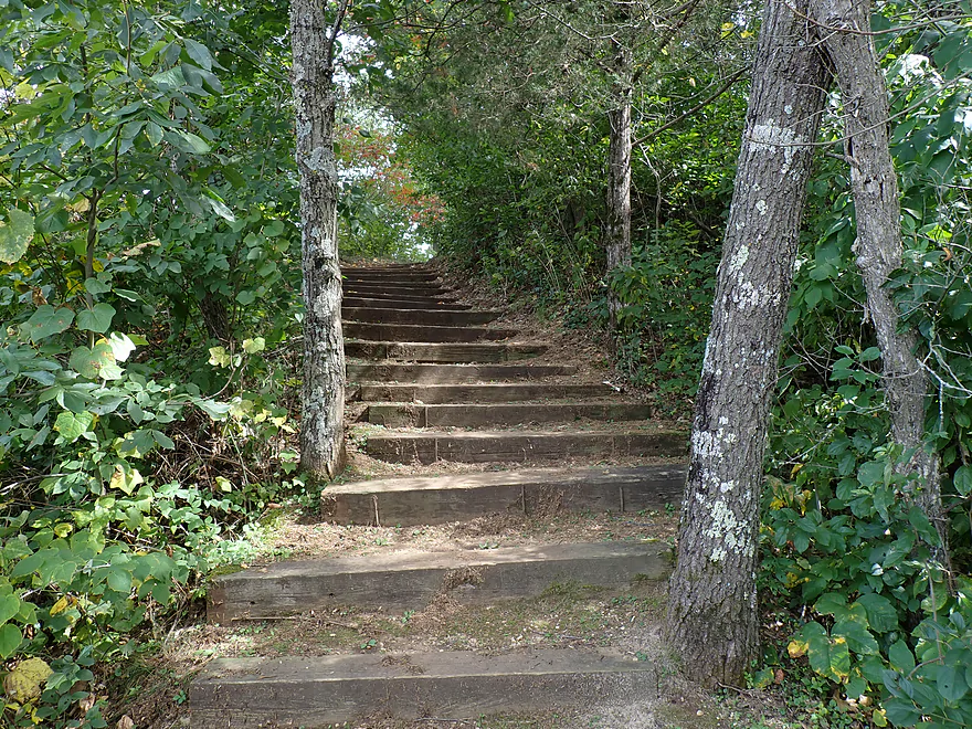
Steep stepped trail leads to the water
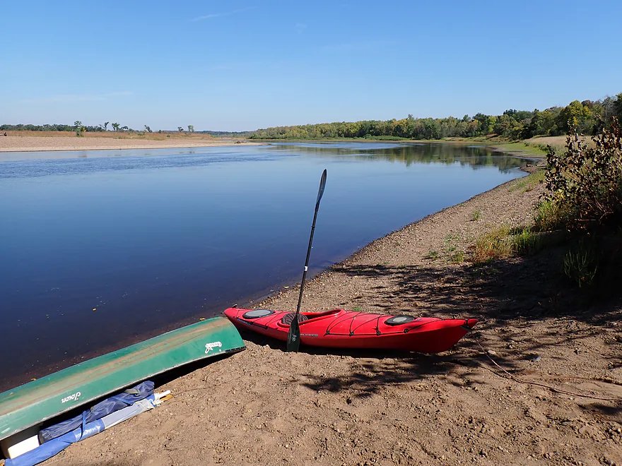
Nice sandy launch area
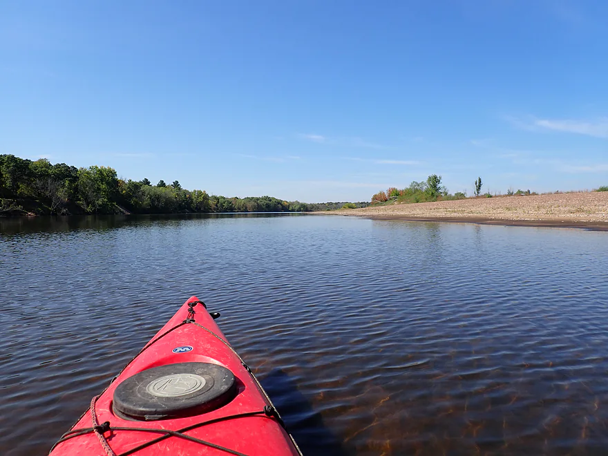
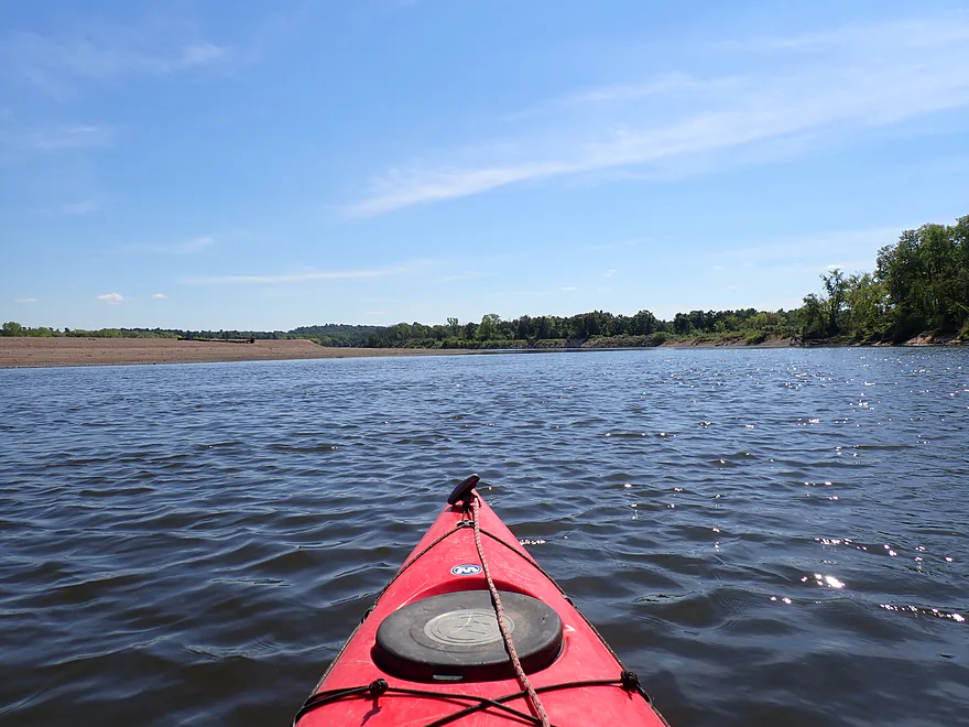
River is wide and slow to start
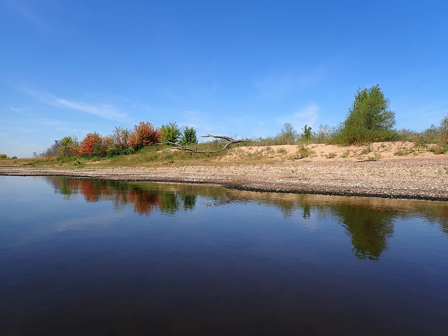
Some way too early fall color
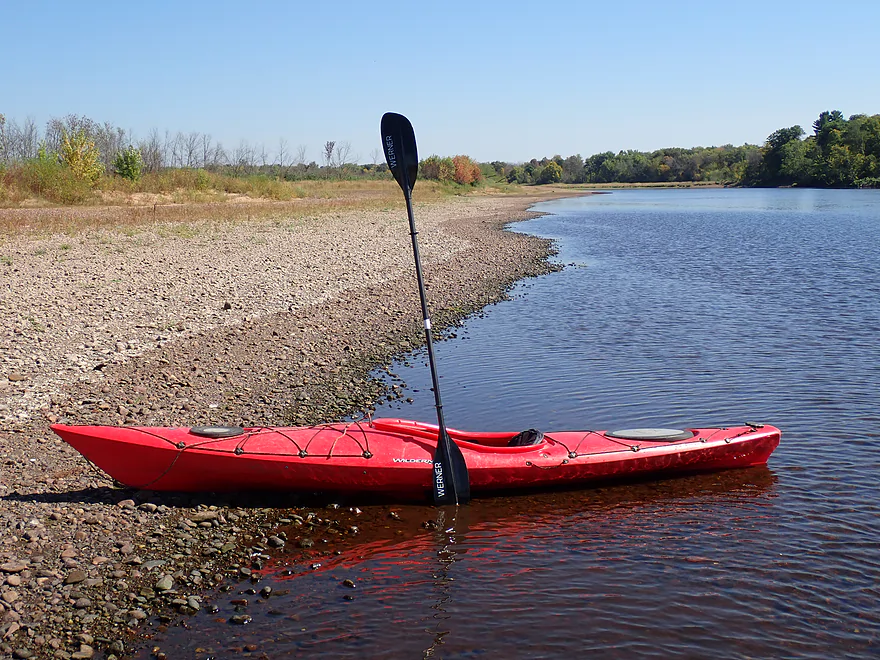
Stained gravel shows a recent drop in water level
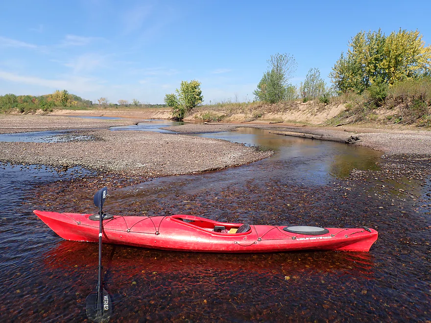
Exploring some cool “side creeks”
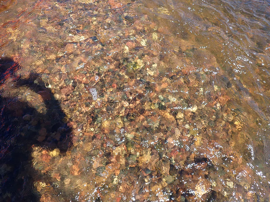
Gorgeous pebbles and clear water
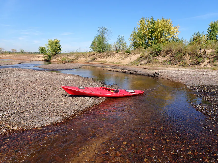
You wouldn’t see these gravel sloughs in high water
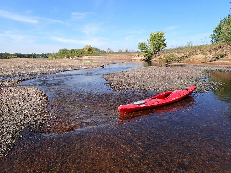
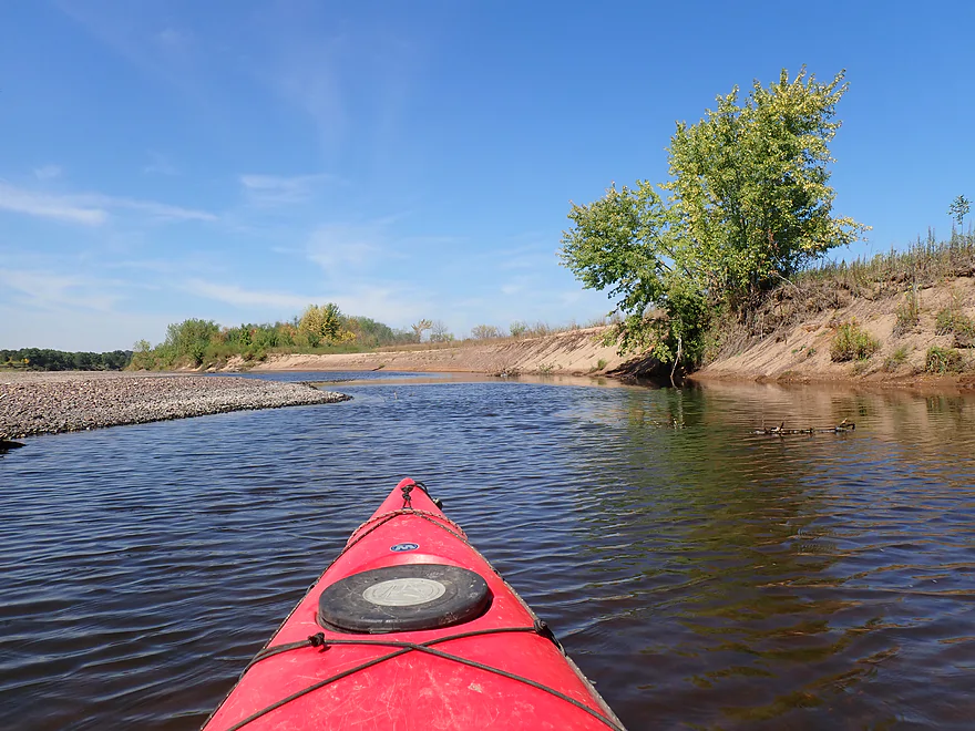
Attractive sand bank
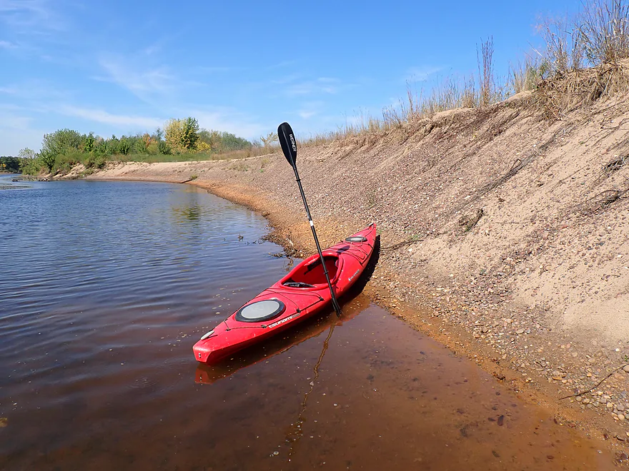
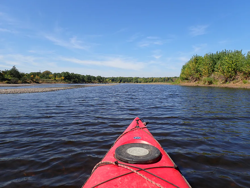
Exiting the slough and returning to the main channel
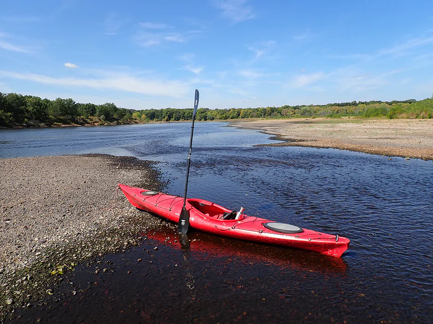
Thee primary channel was pretty deep, but the side channels could be shallow
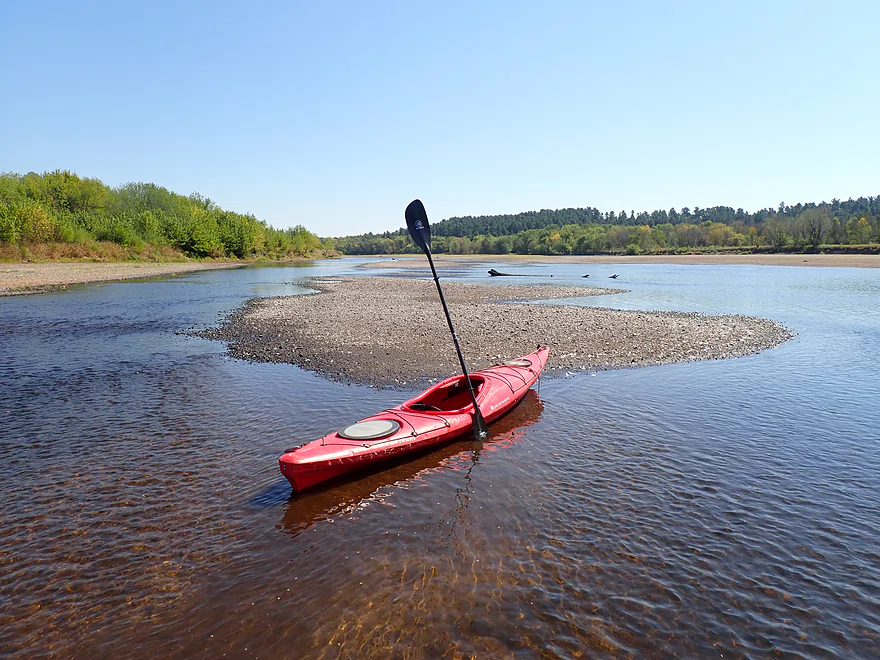
Reverse view
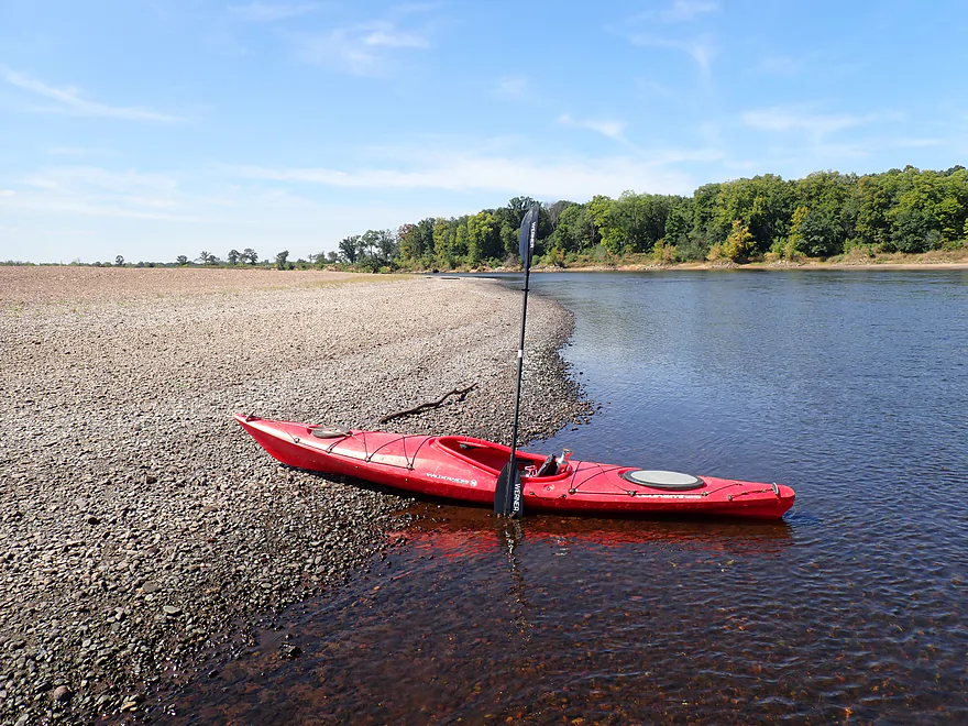
A large gravel bar
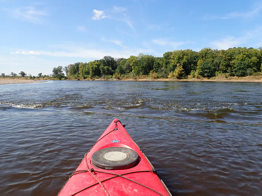
One of a handful of minor ‘rapids’
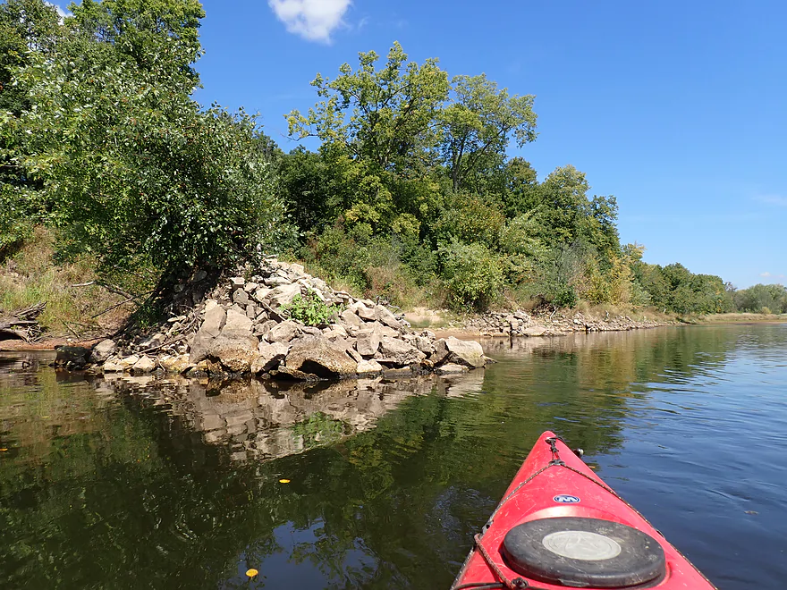
Strange stone piles
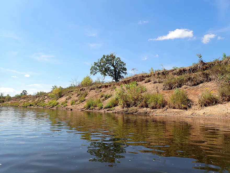
Not visible, but the Dunnville Access is on the other side (good option)
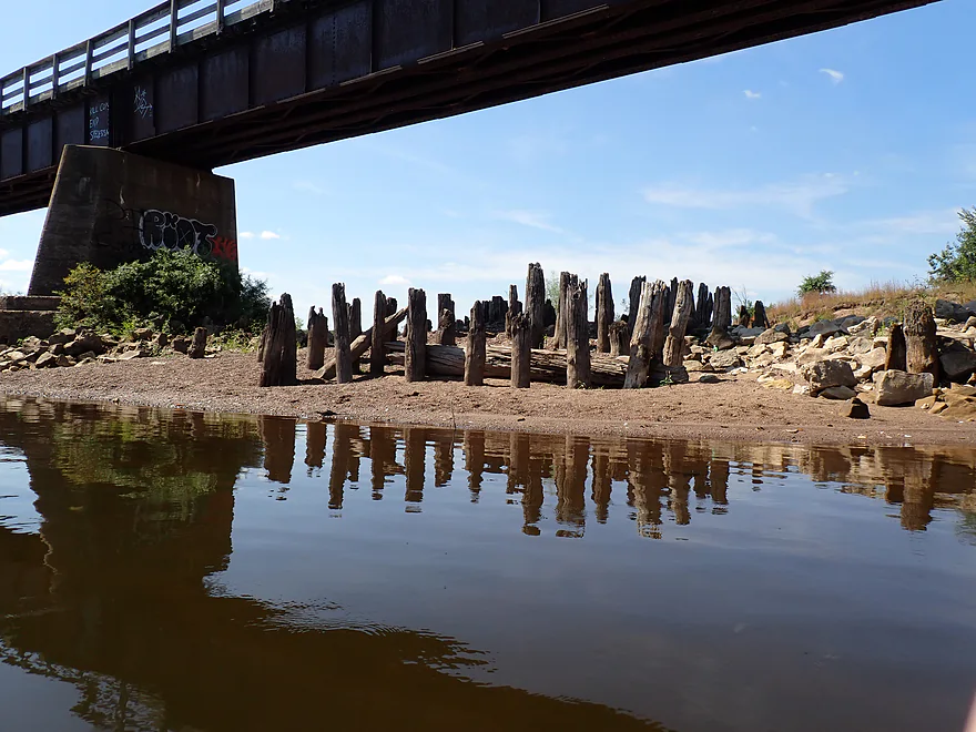
Low water reveals old bridge supports
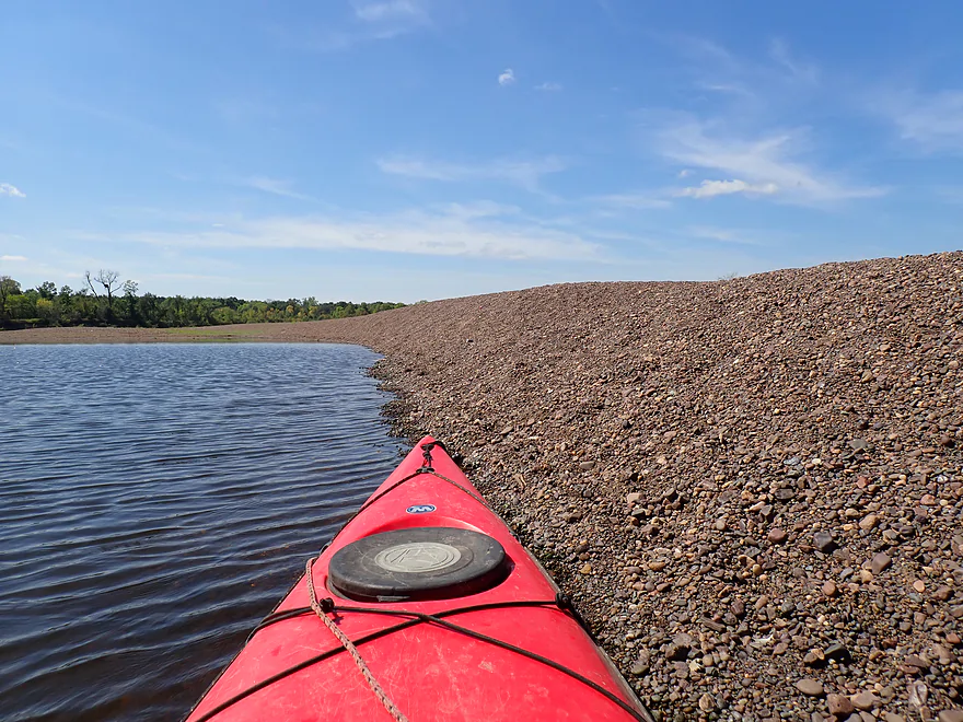
Steep 3′-high gravel bank
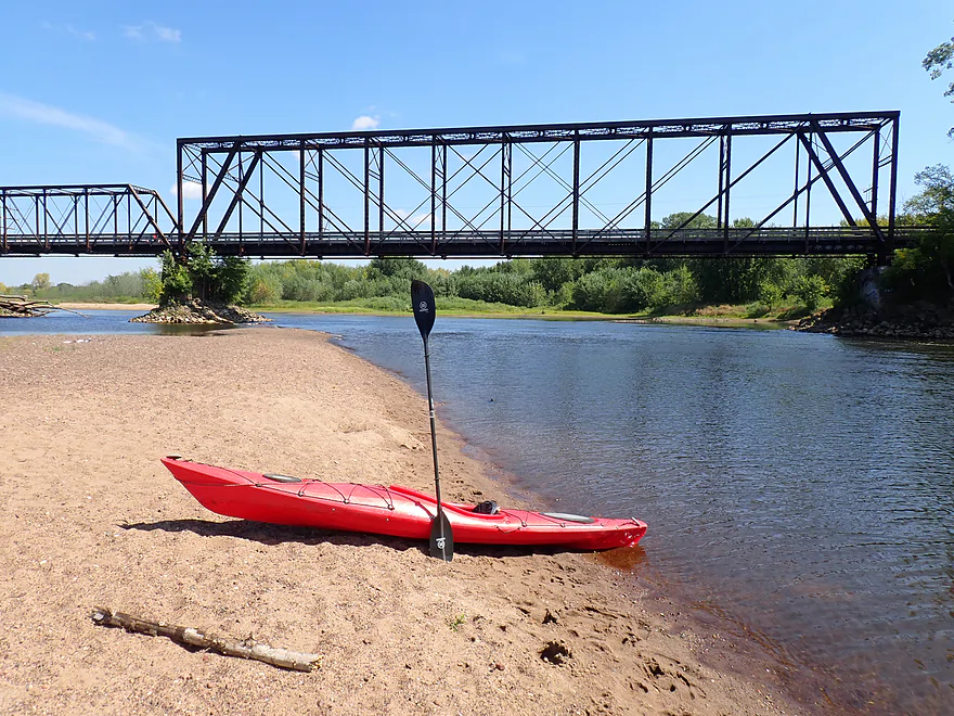
Historic Dunnville Bottoms Bike Bridge
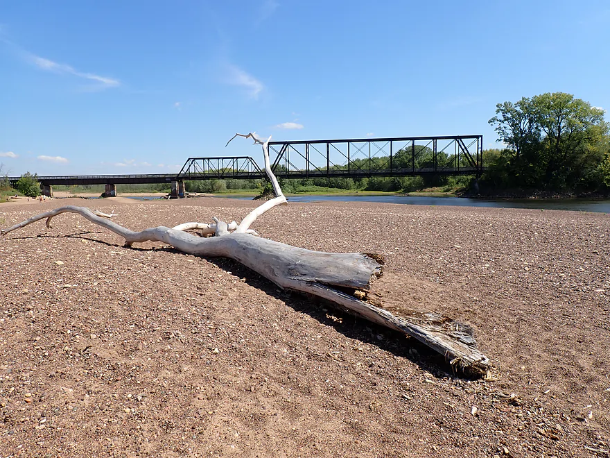
Believe it or not, I was not the only one who thought this dead tree was worth photographing
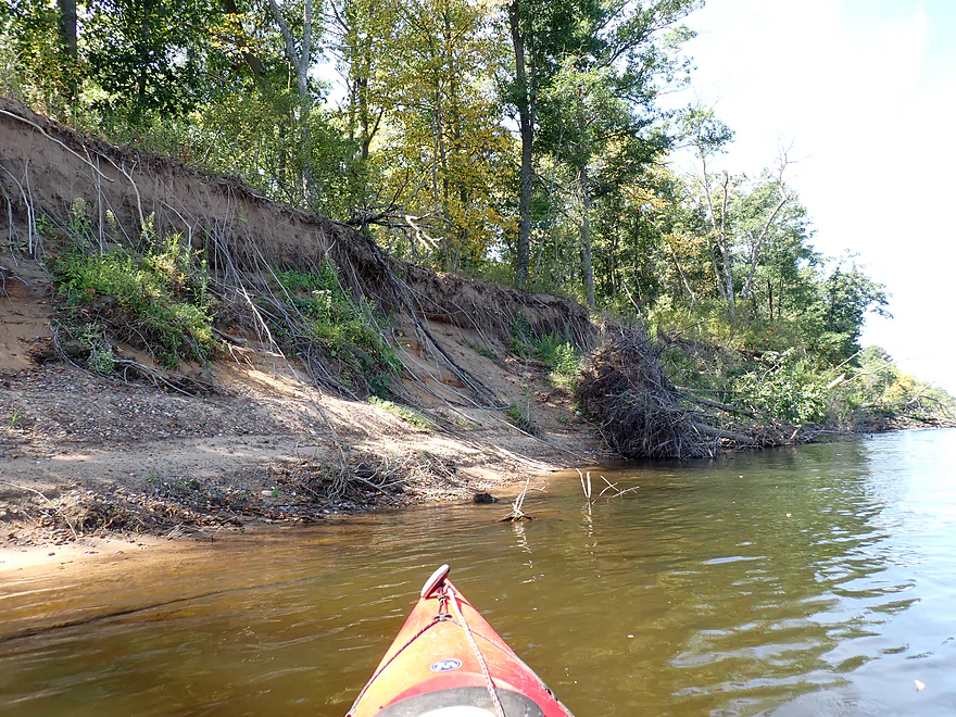
Exposed roots
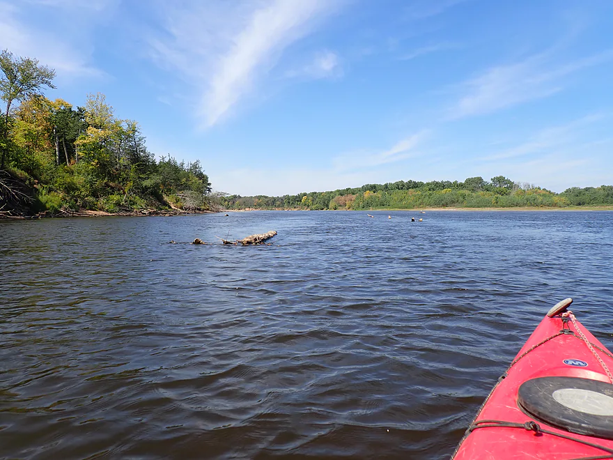
Dodging some debris
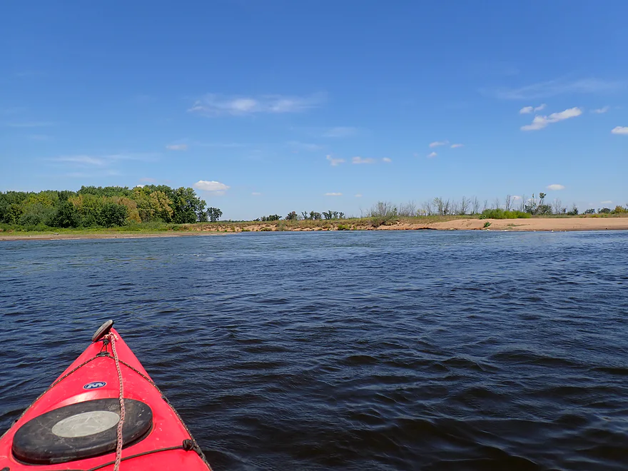
Mouth of the Red Cedar River (kind of blends in with the scenery)
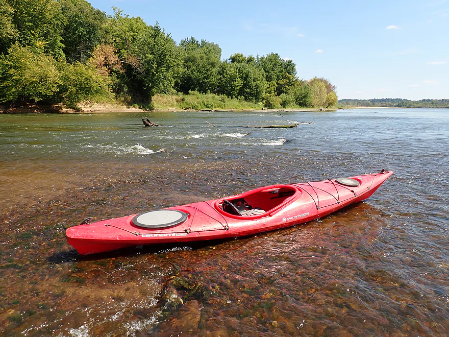
Strongest rapids of the trip
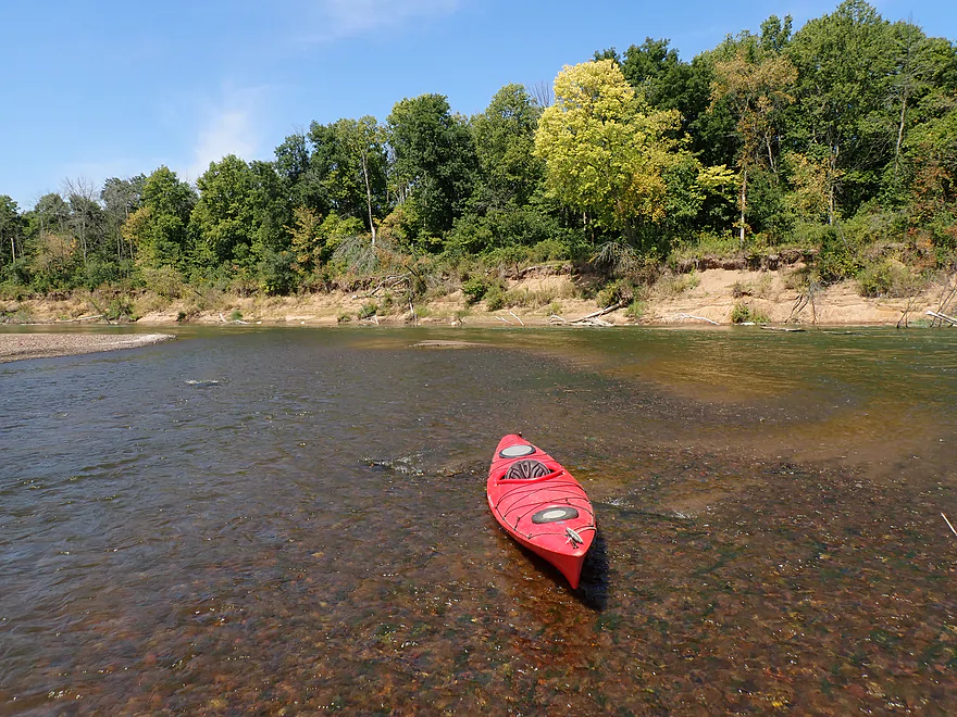
Part of a shallow sandy turn in the river
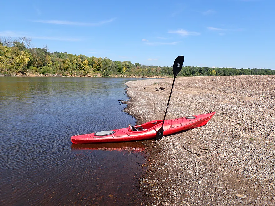
Another large gravel bar
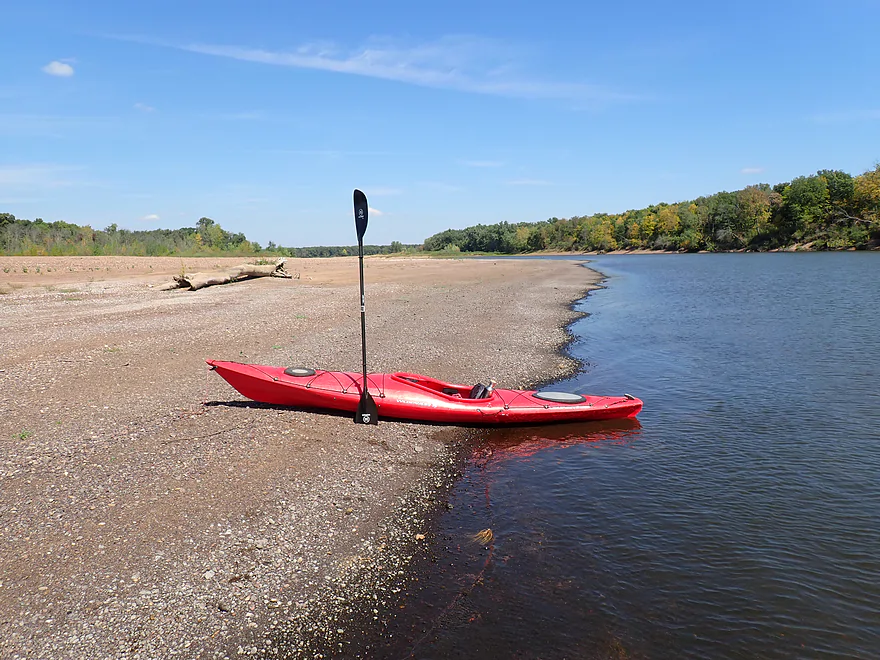
Reverse view
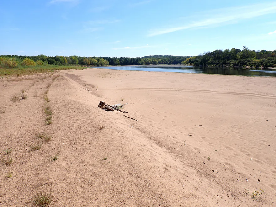
Finally…after so much gravel a nice sandbar
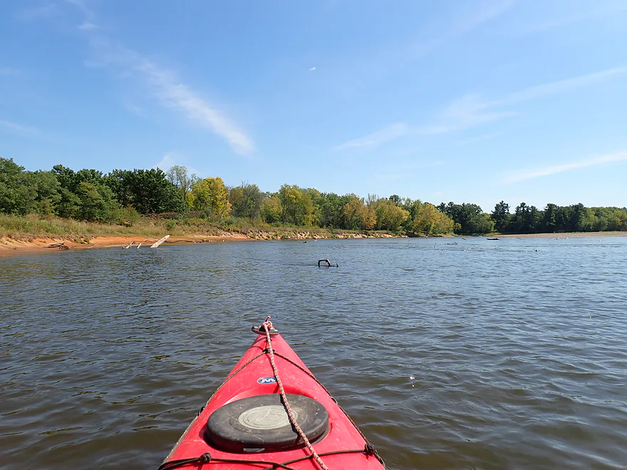
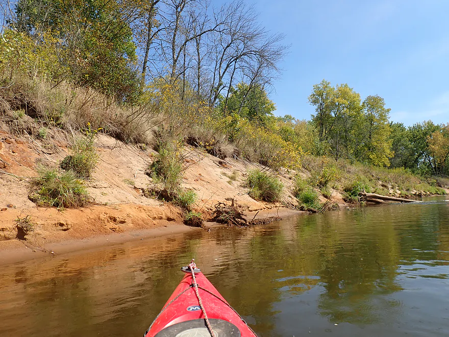
Some cool, rusty-colored banks
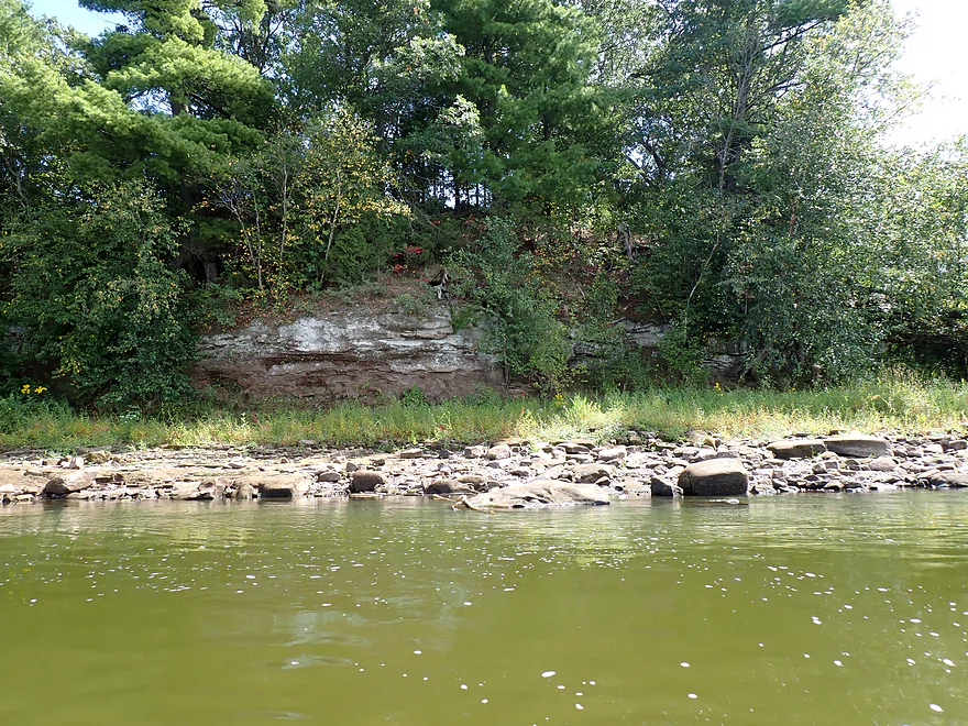
Surprise outcrop
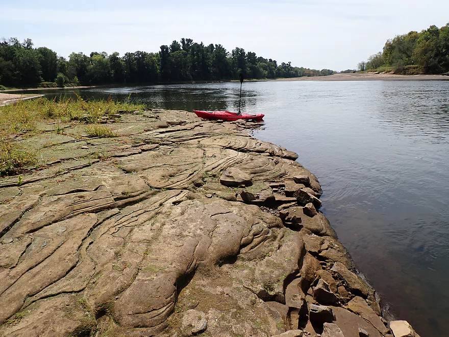
The bedrock looks volcanic
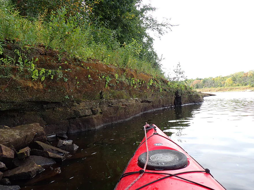
Mini outcrop
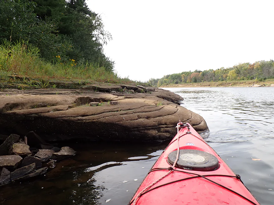
One of the advantages of low water paddling
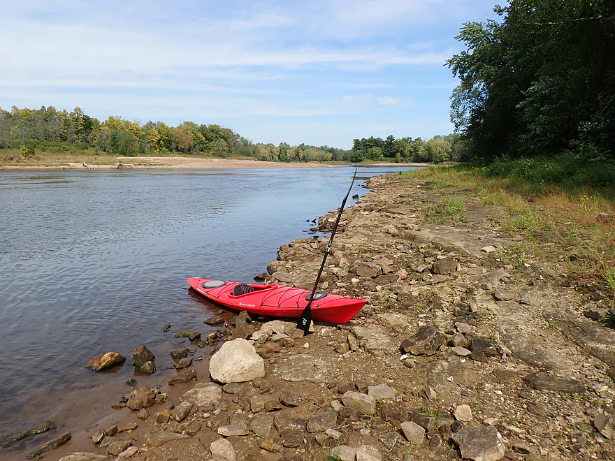
Taking out at Hubbard’s Landing
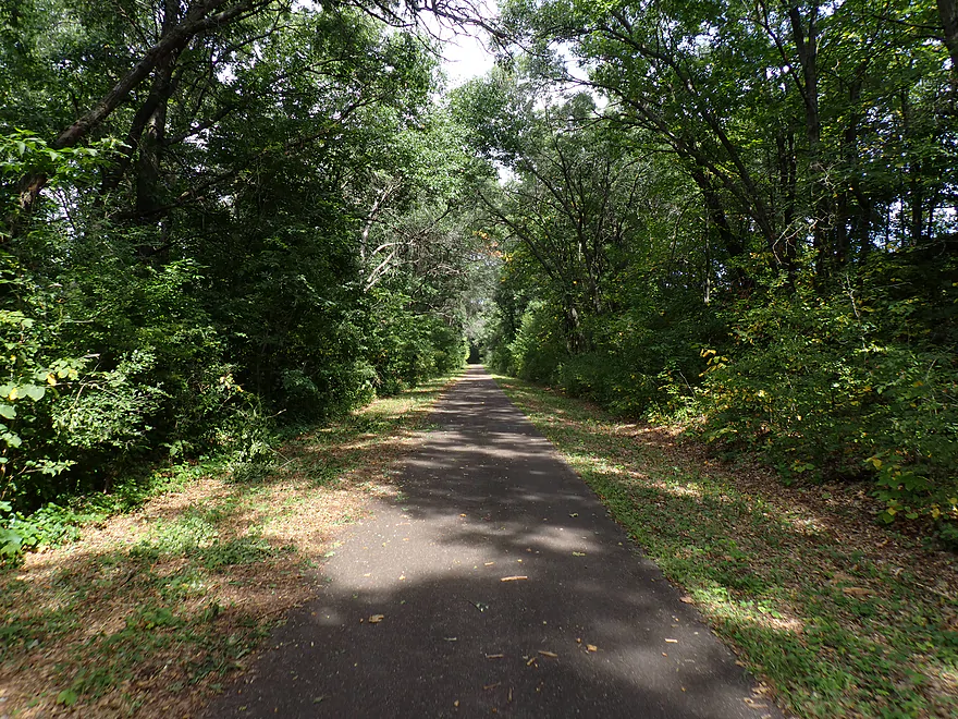
Great bike shuttle back to the put-in
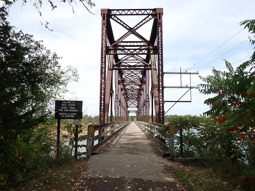
You can also bike over the Dunnville Bottoms bridge


Chippewa River – Dunnville Bottoms


Think of the Lower Chippewa as Northern Wisconsin’s counterpart to the Lower Wisconsin River: both massive Mississippi tributaries with largely undeveloped shorelines, have sweeping sandbars, and are great for paddling.
Between Chippewa Falls and the Mississippi confluence, the river shifts personality across three distinct zones. The upper stretch, running through Eau Claire, carries the most urban footprint, yet compensates with striking sandstone bluffs and occasional rapids. Below the city, the current slows into broad bottomlands (sandbar country) before giving way to steep, heavily wooded hills near the mouth. While each has its appeal, I chose Dunnville Bottoms along the middle stretch, largely due to its great bikeshuttle logistics.
My put-in was Tyrone’s Trail Park. While primarily a bicycle trailhead, it doubles as a workable launch if you don’t mind hauling your boat down a steep, stair-stepped trail to reach the water. The park area itself is quite scenic, bordered by prairie plants alive with insects, and is part of the larger Lower Chippewa River State Natural Area. There is an official river overlook, but heavy tree cover blocks most of the view. I ran into another paddler who was doing the same route and identical bike shuttle. But in his case he was bringing his bike with him in his canoe (not an option for us kayakers).
I would be lying if I said this was a secluded trip, despite the undeveloped shoreline. All told, I ran into 4–5 fishermen, two motorboats, three bikers, a small group at the Dunnville access, and a fellow paddler…pretty active for a weekday. Still not bad, and it genuinely felt remote.
Right from the start, large gravel bars lined the north shore (they would get much bigger). Thanks to the low water (as in very low), the river had shrunk down considerably. In several spots, cool little pebble creeks cut around wide gravel islands, which were fun to explore.
One of my first impressions was, wow…the Lower Chippewa is much slower than the Lower Wisconsin, but that would soon change as I began to see (and hear) the first of multiple light rapids. These weren’t true rapids formed by rocks…but formed instead by old deadfall in the channel. Honestly, if water levels were higher, these might wash out. Some of these noisy “rapids” had strainers, which I dubbed “strapids.” Obviously, paddlers need to steer well clear of these dangerous obstacles.
About a mile in, I reached the historic Dunnville Bottoms Bridge. Once an old “Milwaukee Road” railroad trestle, it has since been repurposed into a popular bike trail bridge. On the north shore lies Dunnville Landing, which works well as an alternative access point. It is a favorite local hangout where people come to take photos of the bridge and swim off the massive sand and gravel bar just below it.
Shortly after the trestle I came to the mouth of the Red Cedar River…I debated paddling up it, but it was booking and I wasn’t sure I would have made it far. It looked nice, though. The Red Cedar is a significant tributary and added decent volume to the Chippewa. The sandbars and gravel bars from this point on would also get WAY larger…most averaged about a half mile long.
After three “mega bars,” I hit the top of Nine Mile Island (famous historic roost of the now extinct passenger pigeon). The north channel (Nine Mile Slough) was sealed shut by the drought, which was a shame as I suspect it’s more scenic and would have had several cliffs. I stayed in the south channel, which still featured a small cliff as well as some exposed bedrock–made more pronounced by the low water. A local fisherman remarked that this was the lowest he had ever seen the river.
Around the bend was Hubbard’s Landing, where I ended the trip. It was remarkably similar to my put-in at Tyrone’s…a bridgeless public access that was scenic, but required negotiating a steep, stair-stepped trail to reach the parking area at the top of the hill. Fortunately, the same fisherman helped me lug my boat to the top.
In summary, this was a great trip. The gravel bars and sandbars were incredible, the water was clear with an attractive large-gravel substrate, and it was novel seeing the mouth of the Red Cedar River and the historic Dunnville Bottoms Bridge. I look forward to doing more trips on the Lower Chippewa (maybe yet this year). Unfortunately, many of the trees were stressed from the drought and were turning early, so I can’t be certain this would be a good fall color trip. Despite the low water, the river was plenty navigable and didn’t do much to deter the few motorboats I saw (this is a good “El Niño paddle”). The best leg on the Lower Chippewa, though, I believe is the last stretch by the Five Mile Bluff area. Here the river flows past towering and impressive bluffs, but the bike shuttle options are difficult. I’ll figure something out…
The Lower Chippewa is a great camping river, thanks to its huge sandbars. Camping is allowed on state-owned sandbars with a few exceptions, such as the large gravel bar by the Dunnville Bottoms bridge. Note that while most of the shoreline is public along this trip (and for long stretches of the Lower Chippewa), some private shoreline remains. Don’t quote me on this, but I believe you can still camp on sandbars adjacent to private land as long as you stay below the ordinary highwater mark/vegetation line. In several spots, I noticed “No Trespassing” signs posted right at the brush line that didn’t extend onto the sandbars.
Sights included quite a few green herons, many clams (great clam river), 4–5 eagles (plus several nests), quite a few flopping fish, and cormorants. On the bike shuttle, I did see what appeared to be bear scat.
Red Cedar River State Trail and Chippewa Valley State Trail: The Red Cedar River Trail starts in Menomonie and crosses the Chippewa River at the Dunnville Bottoms Bridge. It then connects with the Chippewa River State Trail, which starts in Cornell and extends past the bridge to Durand.
Tyrone’s Trail Park: There is a wayside here for trail access and an overlook, but it also doubles as river access. Note that the connecting trail is stepped and steep (280′ long with 43′ of descent). It isn’t so bad heading down, but it’s tricky going up if you are loaded with gear. Shuttlers should note that road bridges across the Lower Chippewa are few and far between, so keeping your put-in and take-out on the same side of the river can save you major headaches (Tyrone is on the south bank).
Alternate Put-ins:
- Meridean Boat Landing: (6.0 miles upstream from Tyrone’s Park) Good access on the south shore and a solid leg—likely a future trip for me. The bike shuttle is very easy.
- Chippewa River Landing: (4.1 miles upstream from Tyrone’s Park) Good access and another solid leg. Note that the landing is on the north shore, which can complicate your shuttle depending on the take-out.
- Dunnville Access: (1.4 miles downstream from Tyrone’s Park). Good access on the north shore. While there isn’t a marked launch per se, it’s just a short walk over a low sandy bank right next to the parking lot, making it one of the more convenient access points.
Hubbard’s Landing: This was a great access point and scenic. But, just like Tyrone’s Trail Park, there are steep stairs to deal with (140′ long with 36′ of ascent).
Alternate Take-outs:
- River Street Boat Launch: (6.7 miles downstream from Hubbard’s Landing) There are two boat landings to choose from in Durand (just downstream from the Hwy 10 bridge). This bonus leg would be similar to the preceding ~5 miles—pleasant, wide, and full of large gravel bars.
Rentals/Shuttles:
- Ben and Jens Recreational Rentals: This is a kayak rental outfit based in Mondovi.
- Corral Bar & Riverside Grill: Based in Durand, they rent canoes and kayaks and also provide shuttles. They appear to service a large stretch of the river (Caryville all the way to Hwy 35/mouth).
Bike Shuttle – Hubbard’s Landing to Tyrone Park: 4.0 miles with 10′ of ascent. This is a fantastic shuttle option. The trail is straight, flat, and mostly paved. You can also take a quick side detour onto the Red Cedar State Trail to check out the historic Dunnville Bottoms Bridge. Note that a state trail pass is required.
Wind: Because of how open the river is, this is an important consideration. Avoid trips during heavy headwinds.
Logjams/strainers: There are no full logjams, but there are strainers in fast current. These are mostly fairly easy to avoid, but stay alert.
Current: Kind of a mix between really slow stretches and some fast parts. Light rapids did form over some of the deadfall, but this might be a byproduct of low water. When levels are higher, I suspect most of these wash out.
Closest Gauge: Chippewa River @ Durand
Trip Depth: 2,200 CFS or 1.88′
Navigability Estimates:
- 1,000–2,000 CFS: I doubt you will see the river get this low, but regardless, it should still be navigable.
- 2,001–3,000 CFS: Very low levels, but plenty navigable. The lower water actually accents the interesting shoreline and gravel bars.
- 3,001–4,500 CFS: Slightly below-average levels.
- 4,501–6,000 CFS: Slightly above-average levels.
- 6,001–8,000 CFS: Above-average levels. The river will likely be a bit dirtier and faster and the sandbars smaller.
- 8,001–10,000 CFS: High levels. Likely viable for paddling, but not as attractive. Some of the strainers at these levels might be quite unforgiving.
- 10,001–15,000 CFS: Very high levels. Likely suitable only for determined and advanced paddlers.
- 15,001+ CFS: Probably too dirty, fast, and rough for any type of paddling.
- Upstream of Chippewa Falls: There are a number of navigable stretches on the Upper Chippewa that I might cover later.
- …
- Riverside Drive Access/Chippewa Falls Dam to Hwy 53 Access: 1.8 miles. Likely a mediocre stretch, but the boulder field right below the dam might be cool. Hwy 53 may not be an official access.
- Hwy 53 to Wheaton Boat Landing: 4.4 miles. A good prospect with a few rocky stretches, a large gravel bar, and what appear to be “dells” by the Hwy 29 bridge.
- Wheaton Boat Landing to Riverview Park: 5.6 miles. Current really slows down, motorboat traffic picks up, and shoreline development increases. There might still be a cliff or two along the banks.
- Riverview Park to Mount Simon Park: 1.4 miles. Part of “Dells Pond.” There appear to be some rock walls along the south shore, but this is otherwise a slow and likely uninteresting flowage paddle.
- Mount Simon Park to Eau Claire Dam: 1.0 mile. You may not be able to take out at the dam, so this might be a round-trip option only. A cliff-jumping icon on Google Maps and sharp relief suggest nice cliffs here.
- Eau Claire Dam to Cannery Park/Public Works Lot: 0.5 miles. Scenic stretch with impressive cliffs, rapids, and a cliff-side railroad bridge. Can be dangerous with Class 3+ rapids and sticky holes.
- Cannery Park to Phoenix Park: 0.7 miles. Generic stretch. Phoenix Park marks the mouth of the Eau Claire River and the start of downtown.
- Phoenix Park to Owen Park: 0.8 miles. Generic stretch, but it passes nice bridges and downtown Eau Claire buildings.
- Owen Park to Hobb’s Landing: 1.2 miles. Good stretch with light rapids, views of UW-Eau Claire, and a massive sandstone cliff.
- Hobb’s Landing to Southwest Park: 1.5 miles. Banks become more wooded and less urban.
- Southwest Park to Porterville Boat Landing: 3.0 miles. River widens with multiple islands and a wooded bluff on the north bank.
- Porterville Boat Landing to Hwy 85 Wayside: 1.1 miles. Likely a generic lowland stretch.
- Hwy 85 Wayside to Holte’s Landing: 7.5 miles. A good prospect with a large sandbank and a 50-foot rock outcrop.
- Holte’s Landing to Sand Hill Boat Landing: 5.8 miles. A flatter stretch featuring more gravel bars, islands, and side sloughs to explore. Flows past Caryville Savanna State Natural Area.
- Sand Hill Boat Landing to Meridean Boat Landing: 4.1 miles. River splits around massive Chippewa Island. About 30% of the flow goes south, which is narrow with tons of gravel bars and accesses the Meridean landing. The north fork is larger, faster, and likely more scenic, featuring bigger gravel bars and two large sandbanks.
- Meridean Boat Landing to Chippewa River Boat Landing/200th Ave: 1.9 miles. Likely not very interesting.
- Chippewa River Boat Landing/200th Ave to Tyrone’s Trail Park: 4.1 miles. Flows south past long, wide bends and huge gravel bars.
- Tyrone’s Trail Park to Hubbard’s Landing: 5.2 miles.
- Tyrone’s Trail Park to Dunnville Access: 1.4 miles. Pleasant stretch with a few nice gravel bars.
- Dunnville Access to Hubbard’s Landing: 3.8 miles. Good stretch that gains considerable volume from the Red Cedar River. Highlights include a historic trestle bridge, massive sand and gravel bars, light rapids, and minor rock outcrops.
- Hubbard’s Landing to Durand/River Street Boat Launch: 6.7 miles. Pleasant stretch with wide, lazy bends and huge gravel bars.
- Durand to Ella Boat Landing: 7.8 miles. Very good stretch with scenic bluffs. Just past Dead Lake there is a nice section of pines and rock outcrops. Bike shuttles can shorten the trip by paddling up into Dead Lake to use that landing.
- Ella Boat Landing to Hwy 35/Tiffany Bottoms Landing: 8.3 miles. Probably the most scenic stretch on the entire river, highlighted by massive bluffs along the north bank.
- Hwy 35 to Mouth/Reads Landing: 2.9 miles. Final stretch includes nice sandbars, followed by paddling onto the Mississippi. Along the south bank is a massive sand dredge pile you can climb.
Trip Map
Overview Map
Video
Photos Size:
How did your trip turn out? Questions or comments? Feel free to leave your feedback.
