
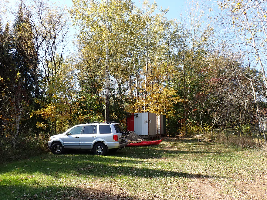
Starting at Red River Landing (Finley Ct)
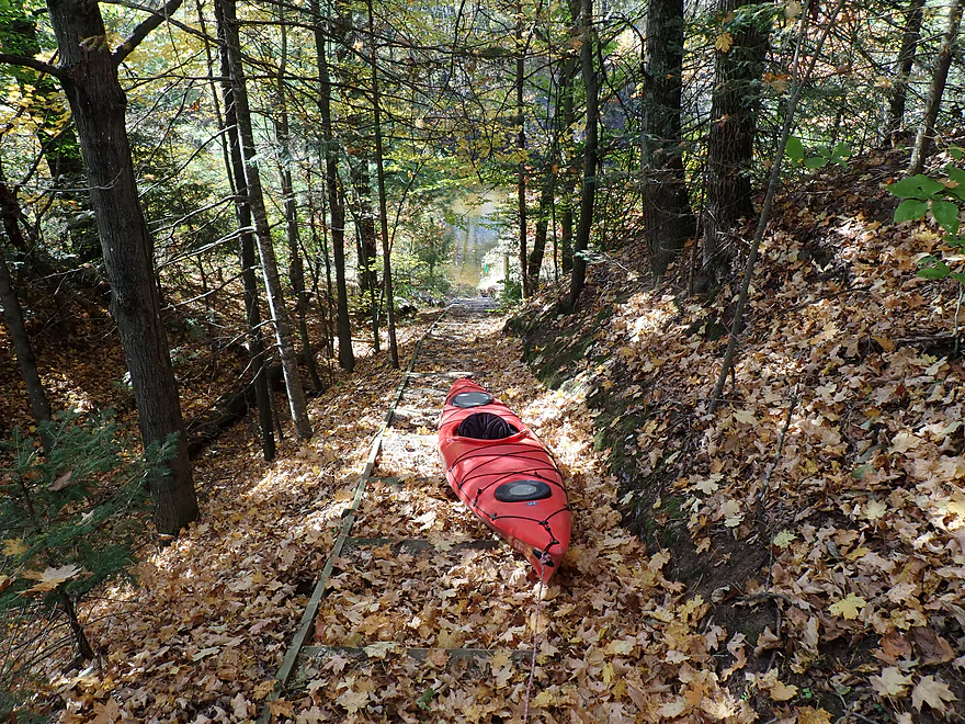
Attractive steps lead to the water
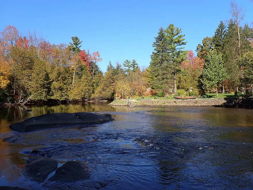
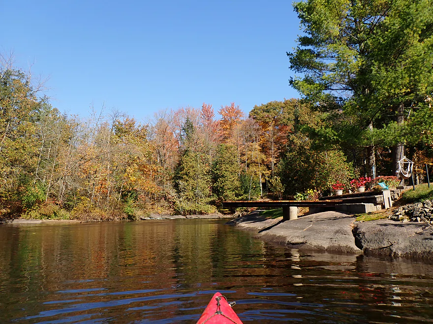
Paddling upstream to explore
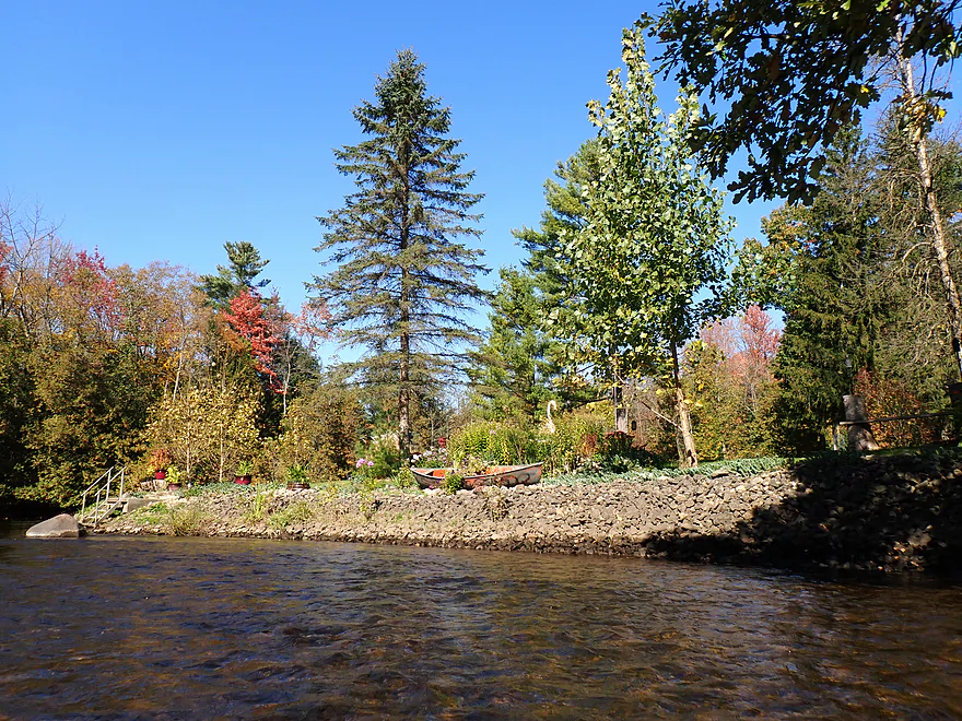
Nice canoe landscaping
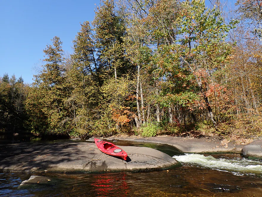
Little Bull Falls
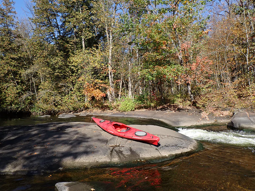
Easy in low water… Class I+/II
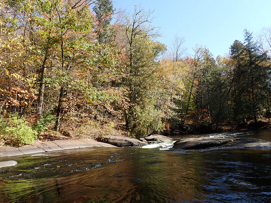
Heading down the chute
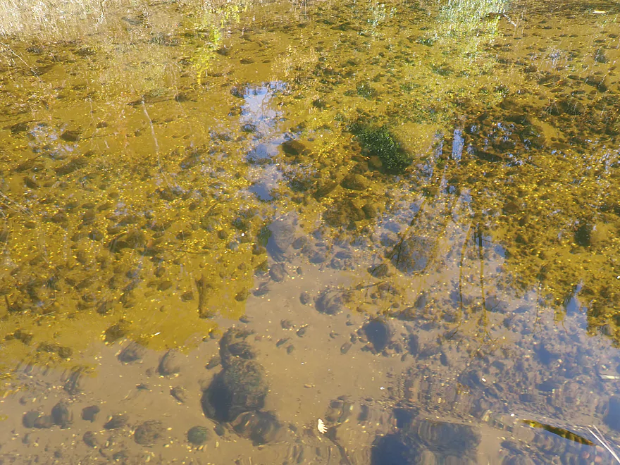
Amazing clarity
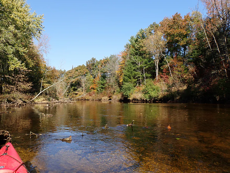
Resuming my trip downstream
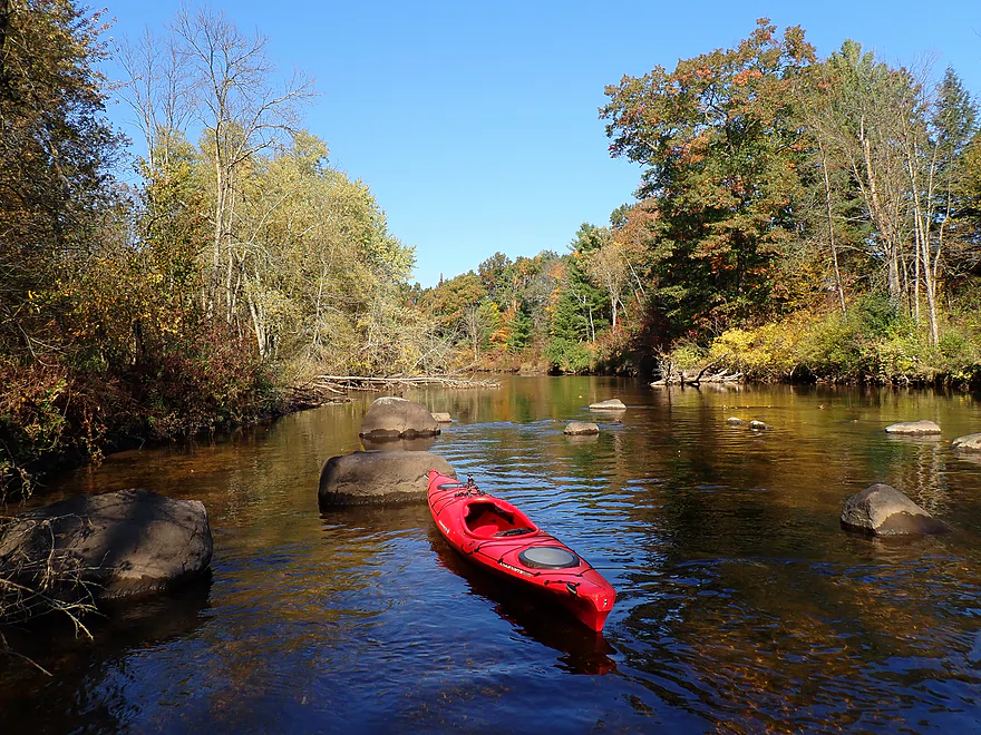
Great scenery
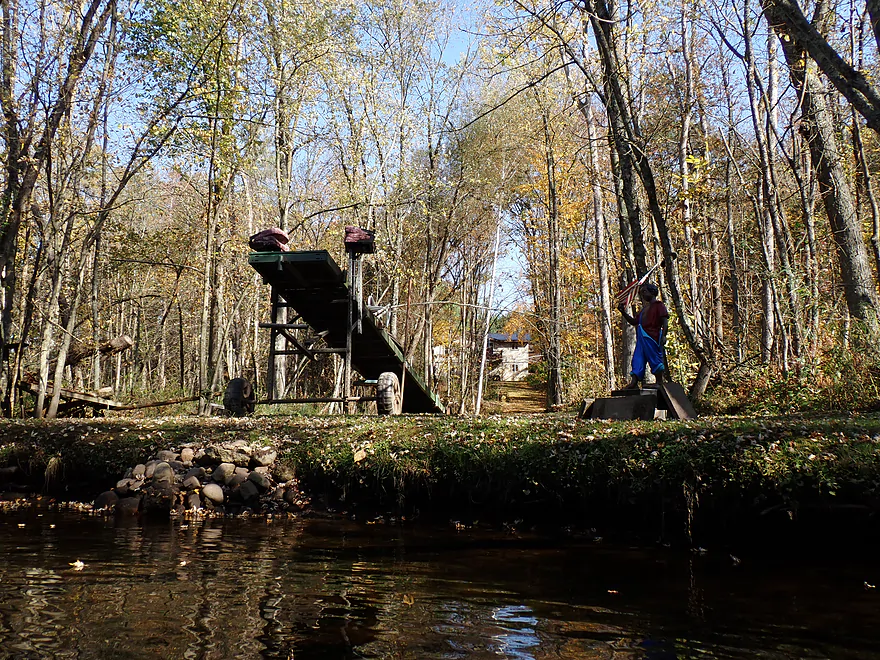
Pulling out a pier for the winter
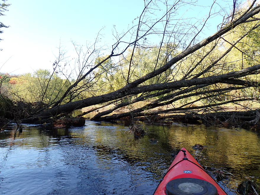
Only logjam of the trip
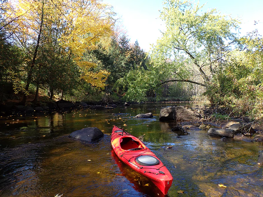
Rocky stretch around a small island
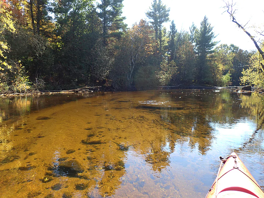
More nice clarity
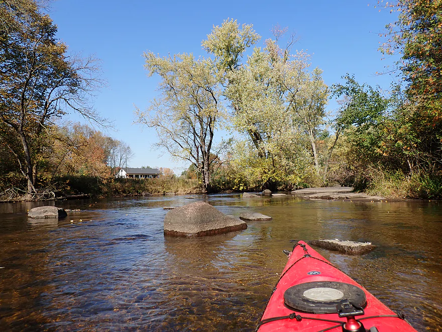
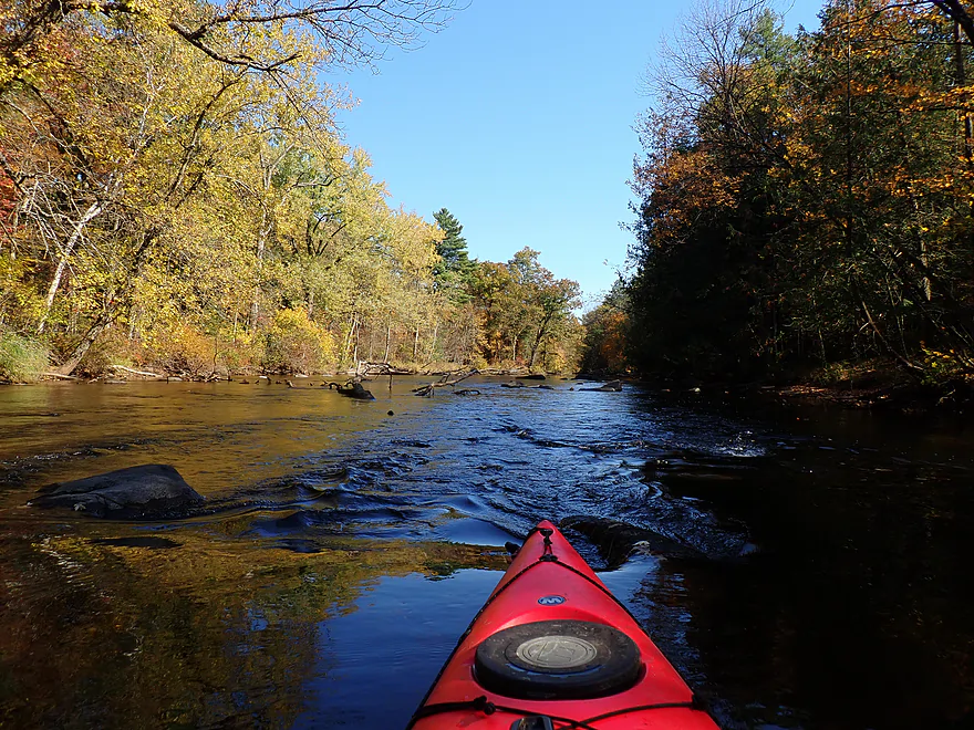
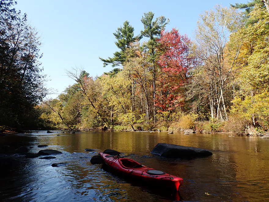
Getting out for pictures
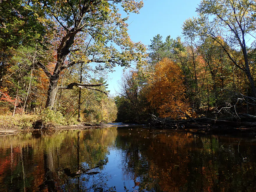
Approaching Submarine Rapids
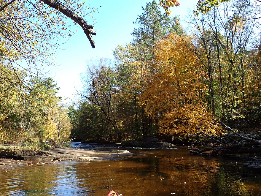
Class I+/II…easy to scout on the exposed bedrock
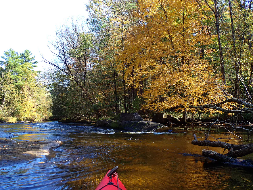
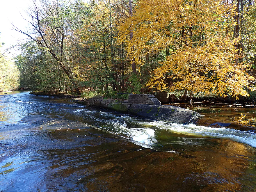
In low water the river funnels through a central chute
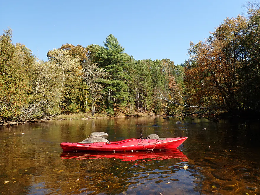
Great pines
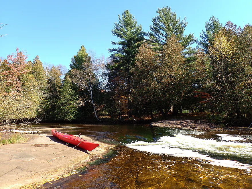
Snake Tongue Rapids (Class III)
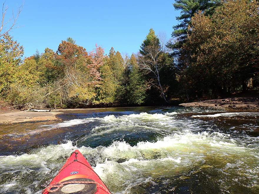
Reverse view…deceptively tricky because the current splits around (and over) a boulder
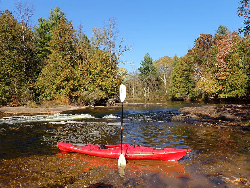
Side view
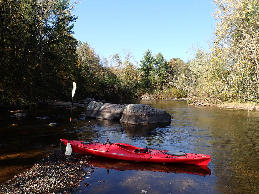
Nice stretch of boulders
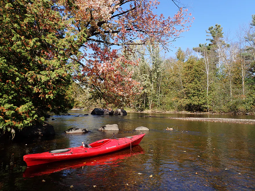
Corner Pocket Rapids (Class III)…dangerous due to recirculating current
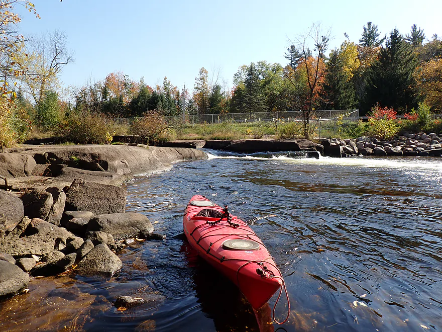
Can portage/scout on adjacent bedrock
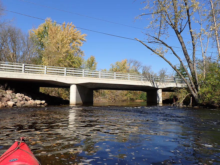
Hwy A…few paddle past here
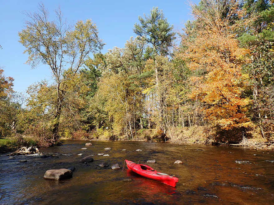
Great scene
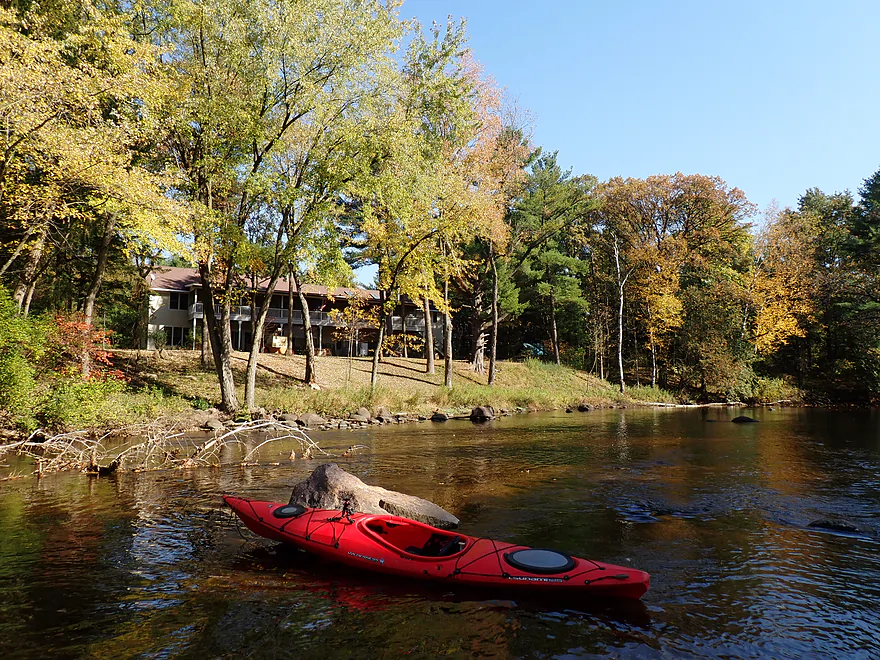
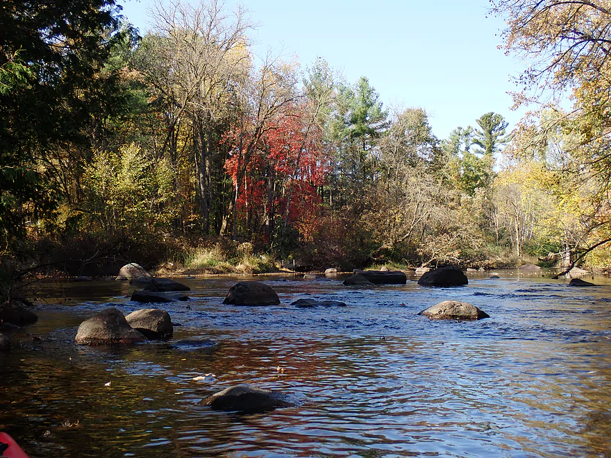
I think there were more boulders below Hwy A than above
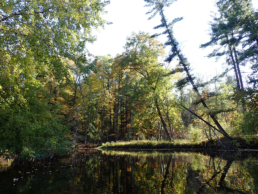
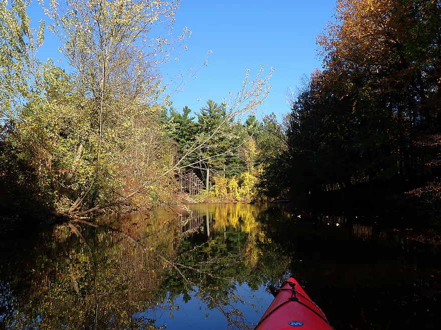
Nice mirror reflections
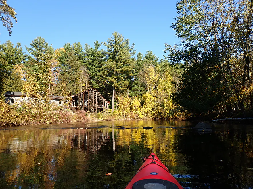
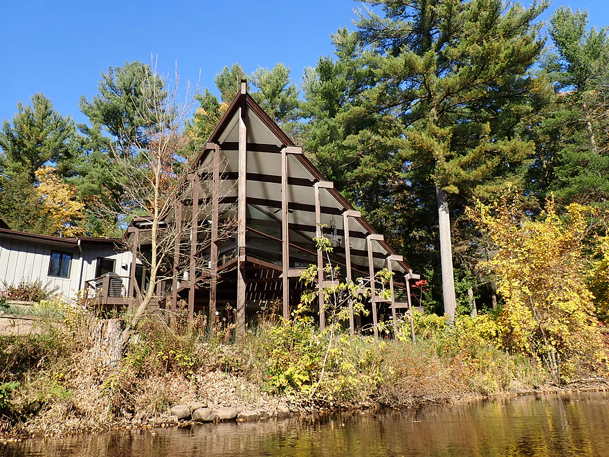
Cool porch roof
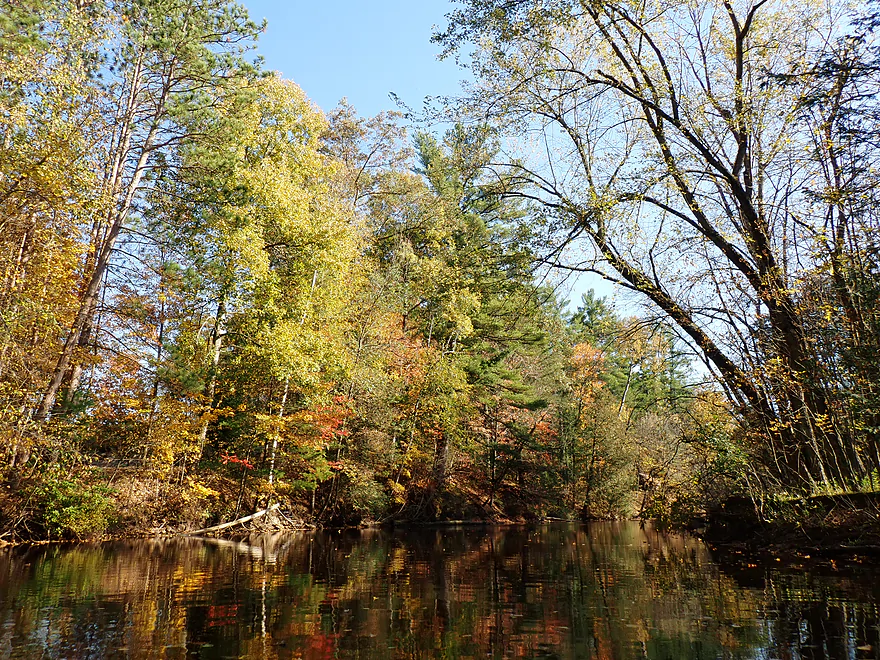
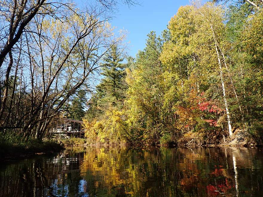
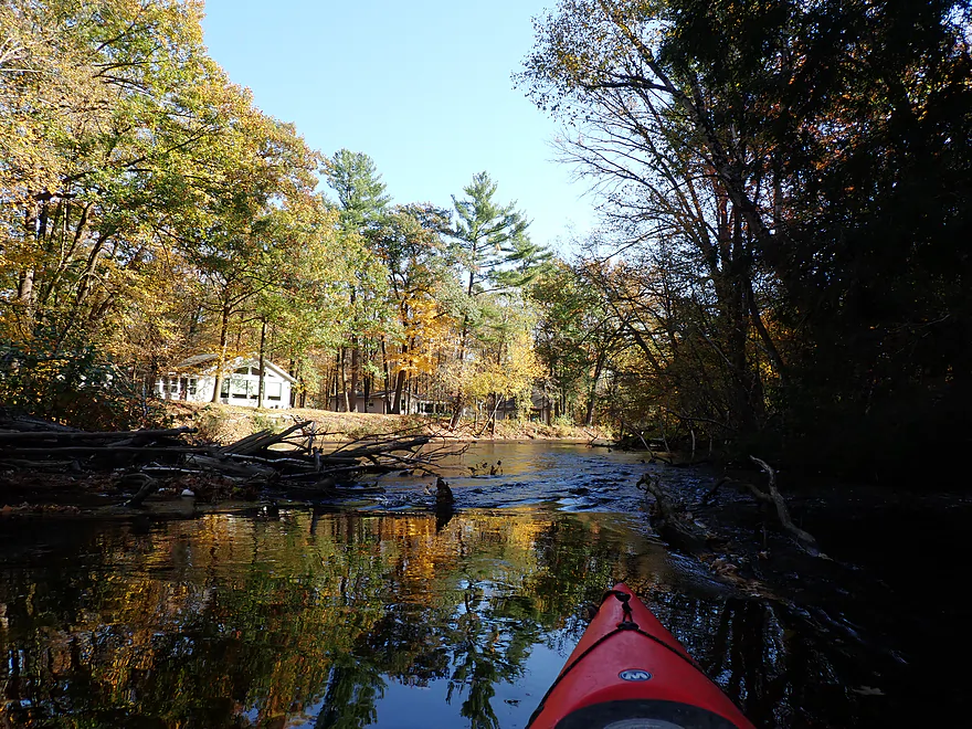
Only minor snag in the second half…easy to get past
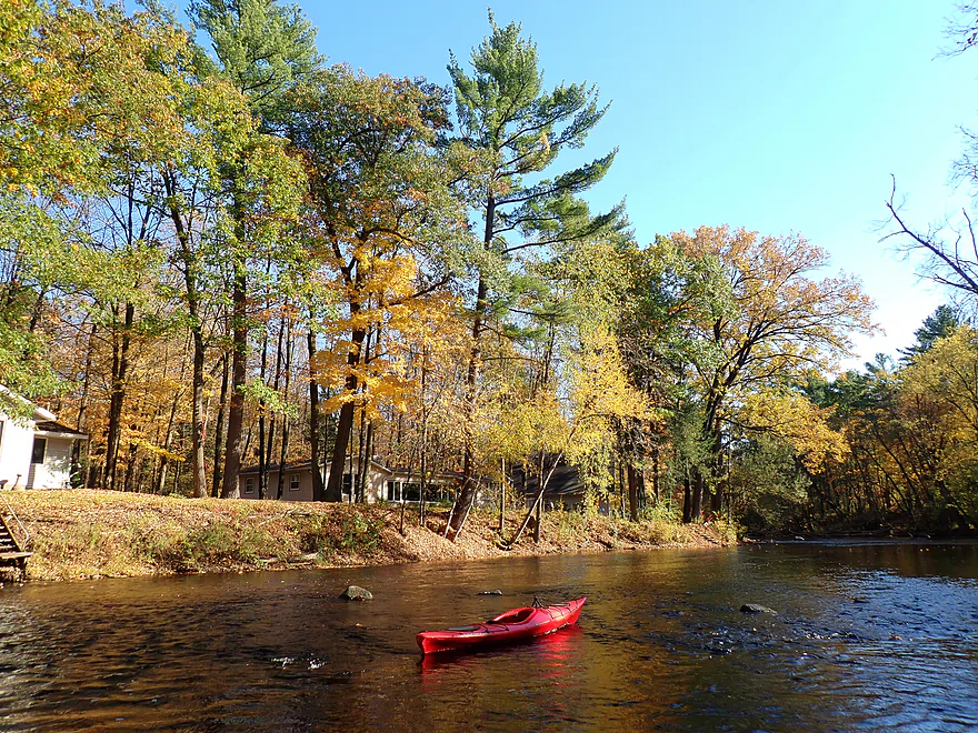
Getting out for pictures
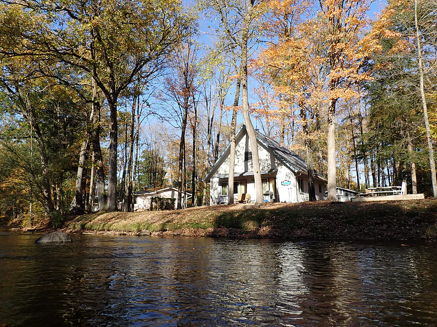
This leg is heavily developed…but at least lots are mostly wooded
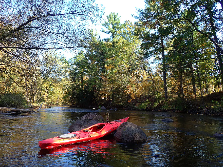
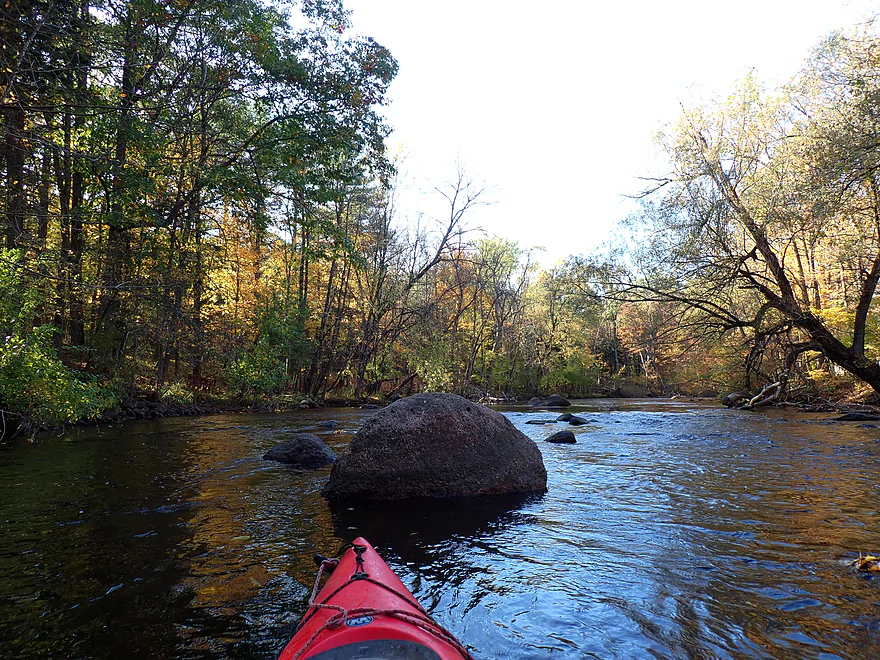
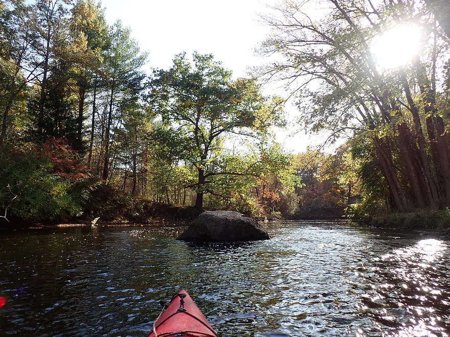
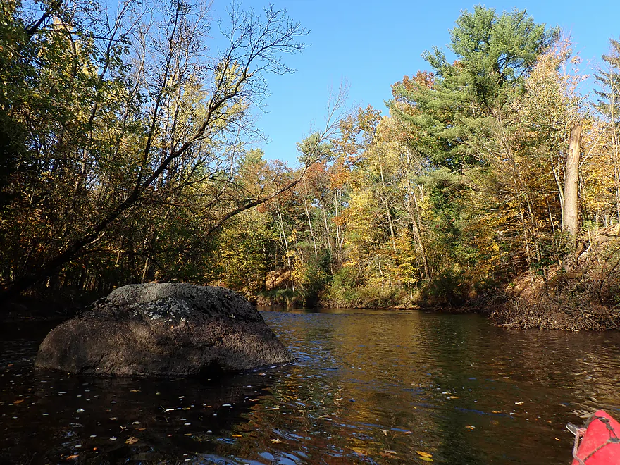
Surprisingly good color
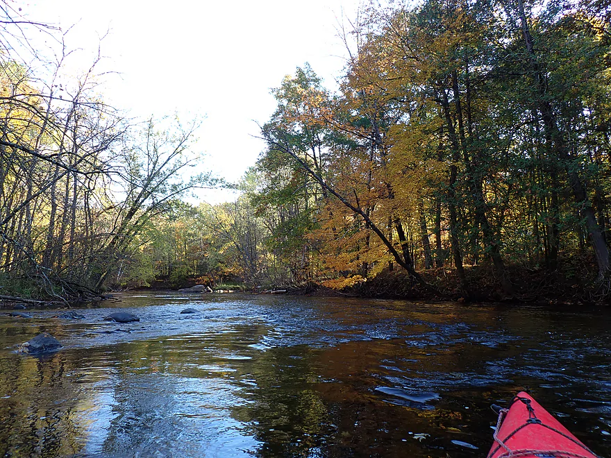
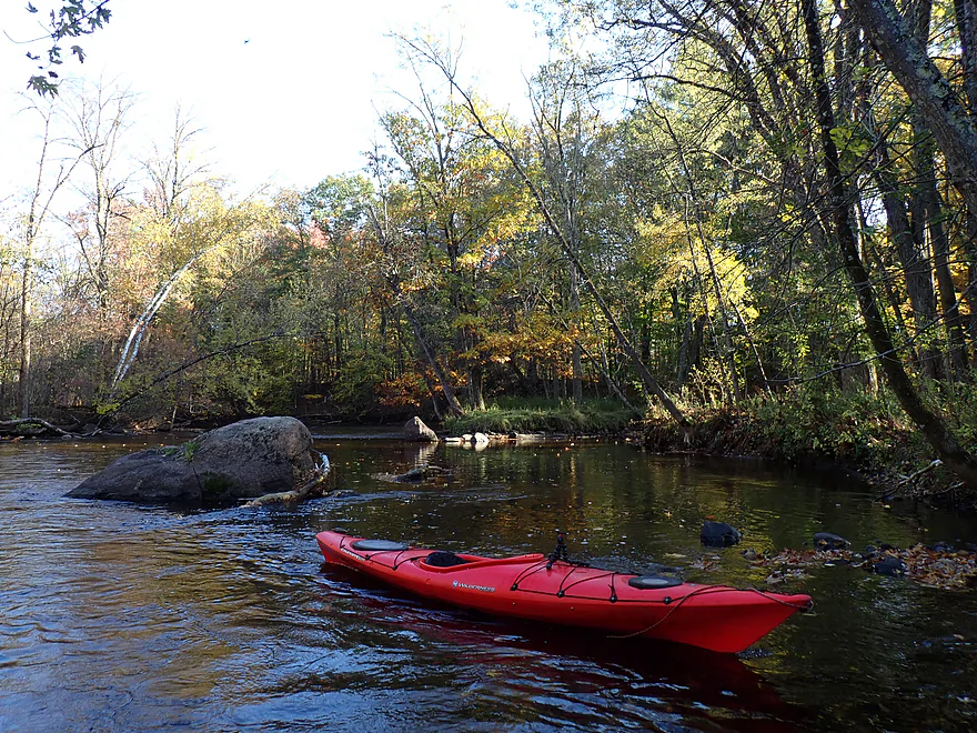
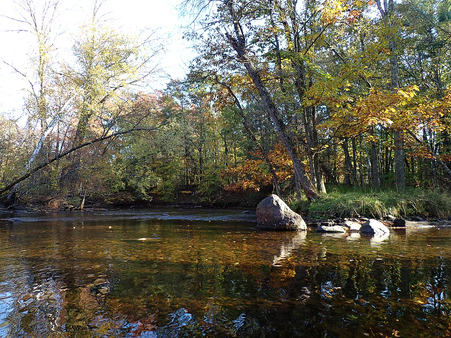
Still good clarity
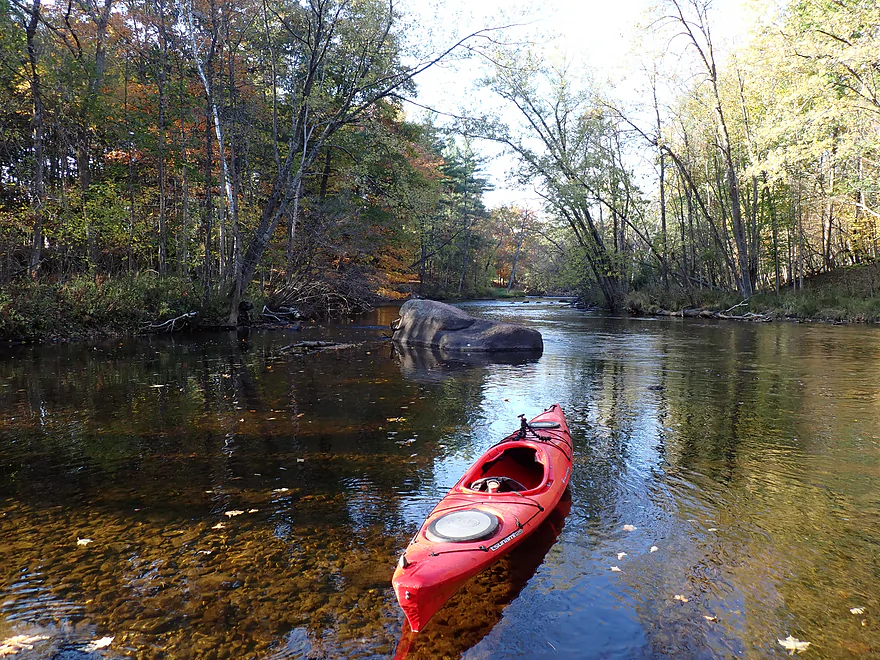
Nice rocky substrate
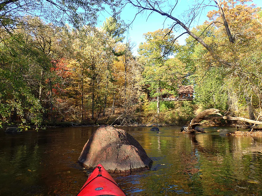
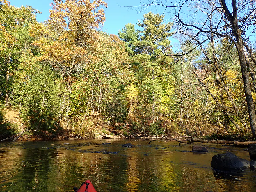
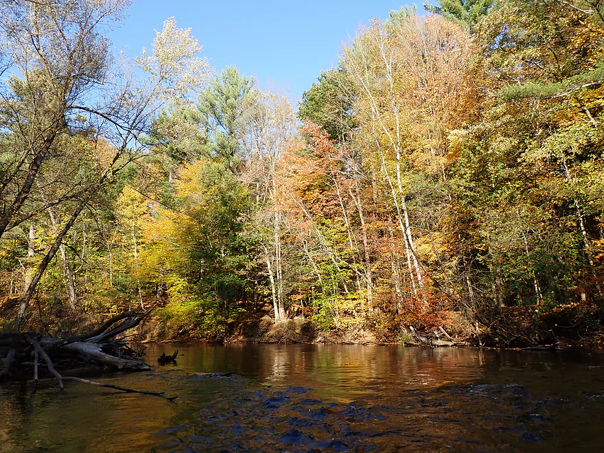
Perfect timing for fall color
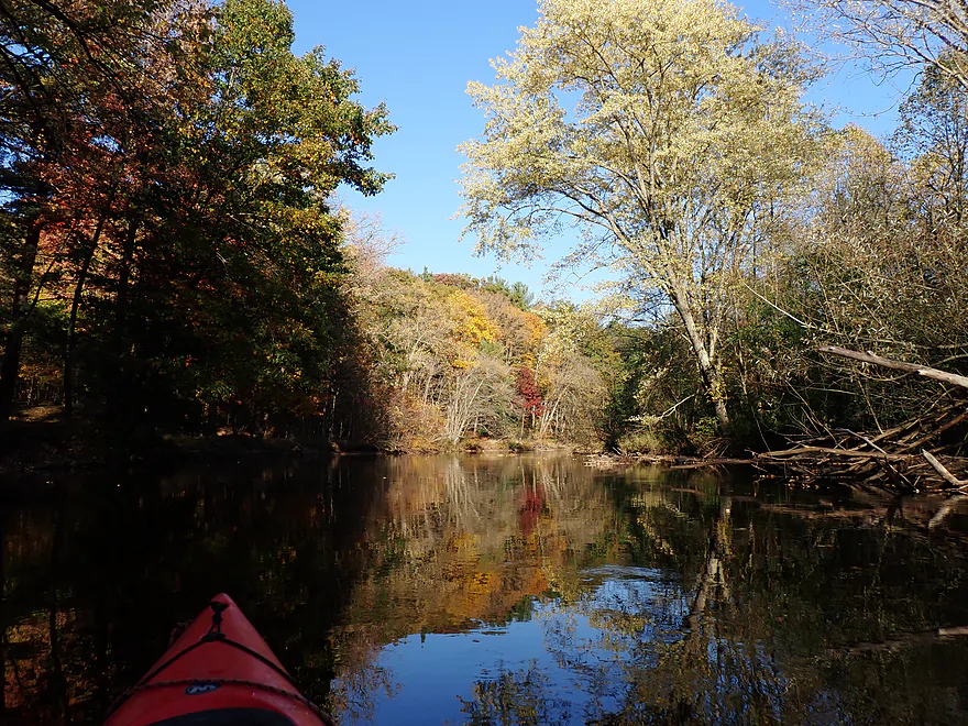
River opens up a bit
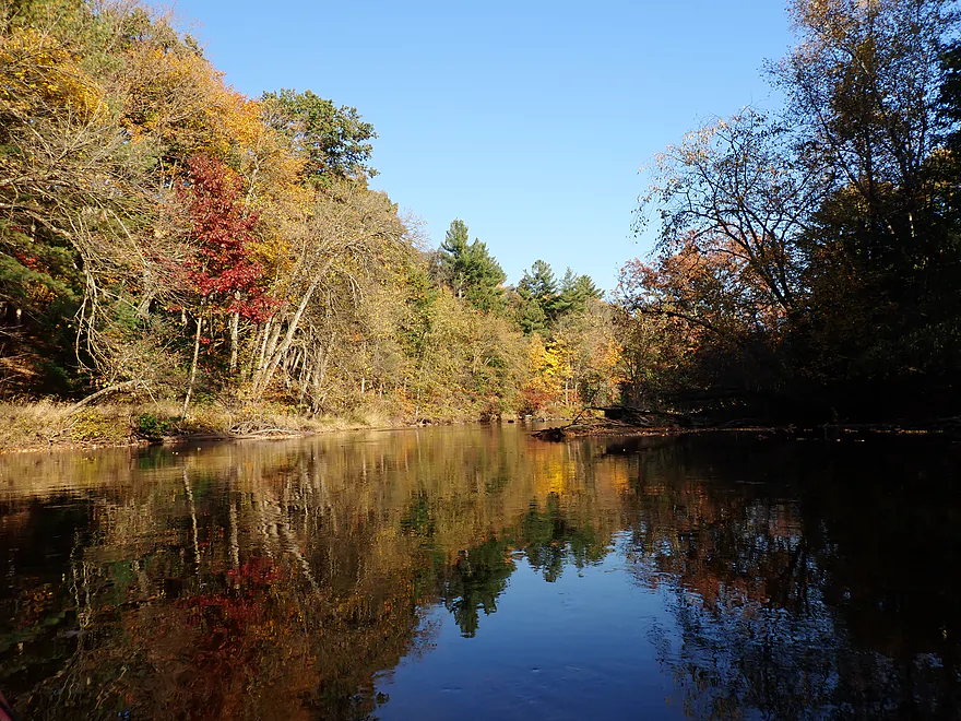
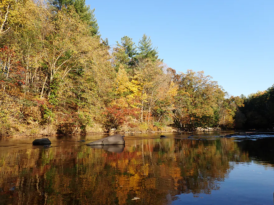
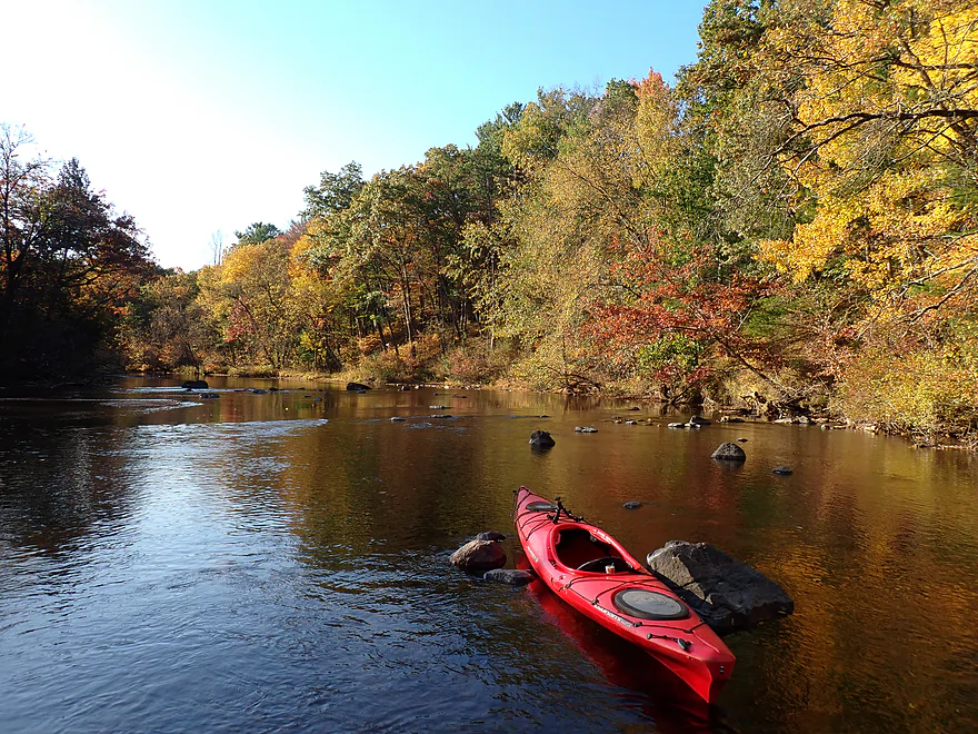
Starting to lose light for pictures
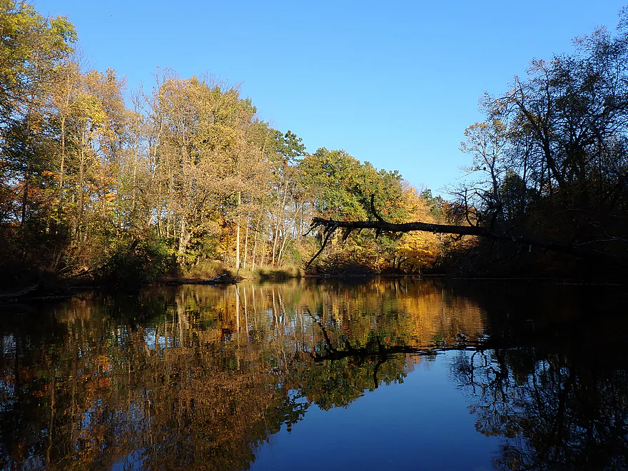
Wall of trees
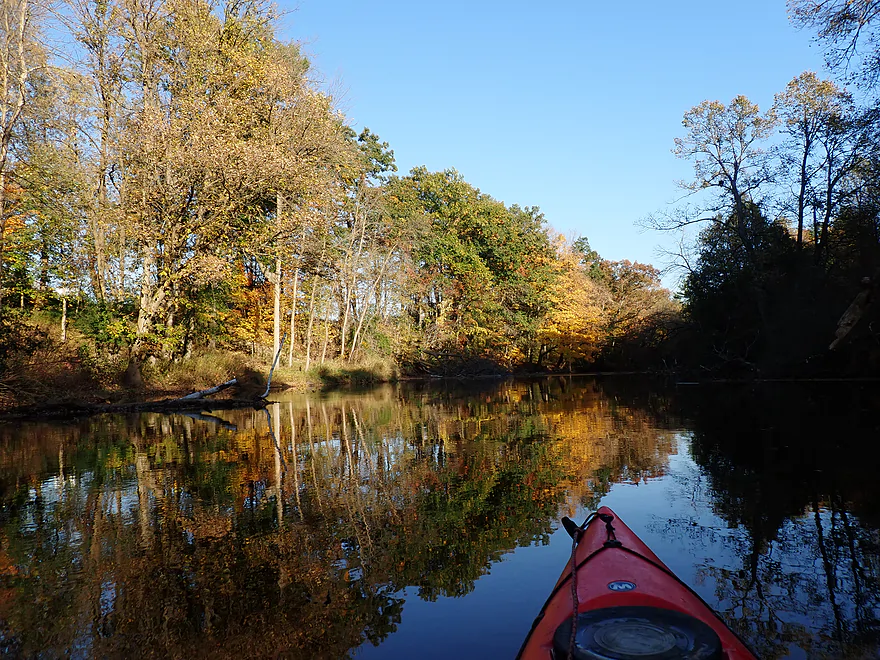
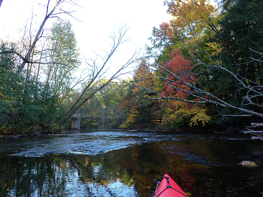
Final stretch
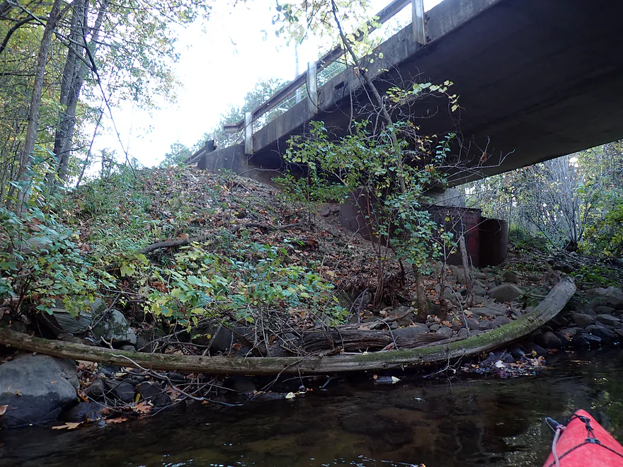
Maple Ave isn’t a great bridge access….steep and congested
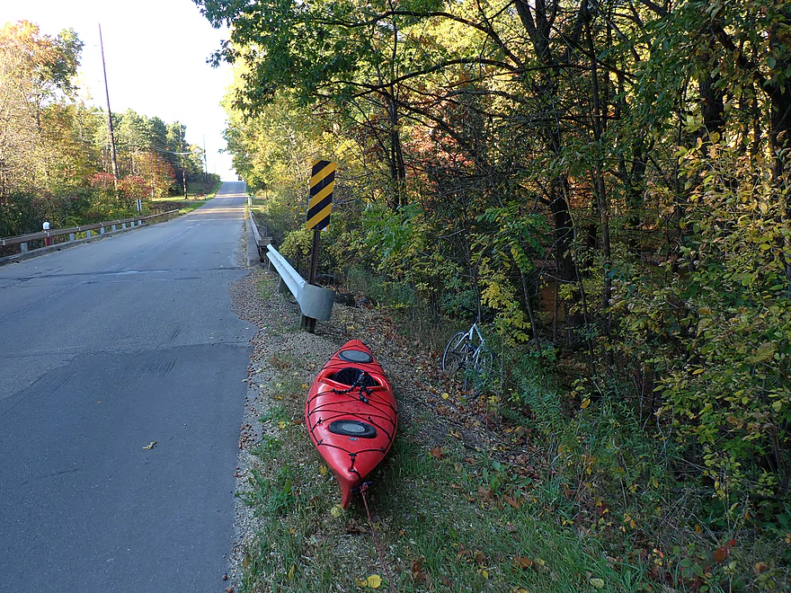
But it’s doable…view from shoulder


Red River – Finley Ct

This website previously featured a nice guest review of the Red River over nine years ago. But…times have changed, and I thought it would be helpful to do an update (especially on the access situation). Most paddlers who do the Red (or used to) start at the dam at Red River County Park, then float four to five miles down to Hwy A. This is a great stretch and includes some classic rapids…but Hwy A is no longer a viable take-out. I confirmed this in person when I saw a large fence, “No Parking” signs, and “No Trespassing” signs posted everywhere.
For access option #2, I checked out Richmond Town Park (aka Ziemer’s Access), which paddlers used to use as an access. But it turns out (verified by later research) that the main access road is permanently gated shut. Apparently the Township of Richmond faced a garbage issue in the park. Their “solution” was to force visitors to park in a lot near Butternut Rd and then walk 0.4 miles to reach the river–the idea being that it would be tougher to leave trash by the river if you had to carry it with you. But, because of the gate and hike requirement, it’s no longer a practical kayak access.
I then drove to access option #3. I had been messaged by another paddler that there was an access off of Finley Court. I arrived at the address given but faced an intimidating fence, “No Trespassing” signs, and a security camera looking directly at me. Confused, I asked a local homeowner. He explained the landing did exist, but my address was incorrect. The actual landing was located a few hundred yards downstream in an obscure, narrow wooded lot. This is “Red River Landing” and is owned by “Northeast Wisconsin Paddlers”. While private, they do allow other kayakers to use the landing, but request you provide a donation. This helps offset the property taxes the township forces this nonprofit to pay (yes, the very same Richmond Township that gated shut Ziemer’s access and put up all the “No Parking” signs by Hwy A).
At any rate, Red River Landing proved to be a fantastic access point, complete with ample parking, a changing stall, and a bench. That left me with a strategic choice: use it as a take-out or as a put-in. Using it as a take-out meant paddling the river’s famous three-mile upper stretch below the dam, which features heavy whitewater like Monastery Falls…but it would make for a pretty short trip. Alternatively, I could launch here and paddle six miles downstream to Maple Avenue, which would include three miles of fairly unknown and unexplored water. Intrigued by the idea of doing something new, I opted for the downstream run.
After launching, I paddled 1,000 feet upstream to check out “Little Bull Falls.” These aren’t major rapids…but it was a cool chute falling over exposed bedrock (Class 1+ or Class 2). I reverse-portaged and had fun shooting through the chute.
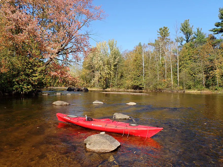
The scenery to start was exceptional, with large boulders, pine trees, turning maples, and crystal clear water. I’ve paddled several water trails with good clarity in the past month, but this was easily the best…even in depths up to 4 to 5 feet, you could clearly see the gravel and bedrock bottom and fish scooting to and fro. Credit goes to the Stockbridge-Munsee Mohican Tribe, whose stewardship of the upper headwaters keeps this river remarkably pristine.
Unfortunately, the scenery proved fairly inconsistent between Finley Court and Highway A. One minute you are paddling past gorgeous woods, boulder gardens, and light riffles…and the next, you are drifting through weedy silver maple lowlands dotted with the occasional house. I was also surprised to encounter a logjam that required some awkward maneuvering to squeeze through (portaging was certainly an option). Fortunately, that turned out to be the only jam on the entire trip.
The next significant set of rapids was Submarine Rapids (Class I+/II). It was very scenic. Basically, from the left a flat granite slab of bedrock funnels the river into a chute and past a rock formation that really did look like a submarine. This was followed by some minor boulder rapids framed by turning maples.
The next major pitch was Snake Tongue Rapids (Class III). Here again exposed bedrock funneled the river, but this time down a strong two-foot-plus deep chute. It’s easy to scout (and is a must). After pondering…I decided to portage. To avoid a hole, you have to paddle hard to the right, but most of the river flows left. Then, after the main drop, the main current blasts into and over a large boulder, which would require another quick turn to dodge. My Tsunami 125 can actually take on decent Class II and even some III rapids…but not this. The turns would have been too tight and the boat too long to make hairpin turns or boof holes (hopping the bow over a reverse current that can flip a boat).
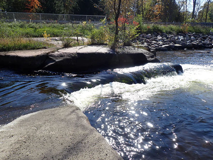
This was soon followed by Corner Pocket Rapids (Class III). These aren’t as loud or as fierce as the previous rapids, but might be more dangerous. Yet again bedrock forces the river into a focal point, but this time all the way to the left, over a weird 90-degree-angle rock ledge and down a two-foot drop into dangerous recirculating current. Unlike the previous rapids, where the current is redirected downstream by boulders, here the channel is deep, so the current just goes down. This can act like a low-head dam which, at the wrong angle, could easily flip a boat or worse, trap it. Water levels were low, and this might be a rare pitch that gets safer in higher levels, as maybe more volume might partially wash out the hole. Either way, I considered this a very dangerous ledge and am shocked so many kayakers have paddled this nonchalantly. It’s very easy to scout and portage along the right shore.
I soon passed massive fences and more “No Trespassing” signs (sigh) and continued under the Hwy A bridge, which would have been my original access if it was still allowed. From my boat, I could see a confused car trying to pull over to check out the river, but not being able to find anywhere to park because of all the ridiculous “No Parking” signs (despite there being adequate shoulder room).
Following Hwy A was the second half of the trip and the start of the “unexplored territory”…as practically no guidebooks write about this stretch. The first few miles were heavily developed…as if the local real estate developer went to great pains to create as many waterfront lots as possible (must be a tricky wastewater situation). But…I will give them credit for preserving a lot of trees (which most developers don’t do).
Despite a lot of homes and cabins, this was a densely wooded stretch and very scenic. Boulder fields were common, and while there were no more major rapids or rock shelves after Hwy A, the woods were better and the boulder gardens more consistent. The river was hemmed in by steep banks…which provided enough elevation for the sugar maples to thrive (they hate being flooded). The final few miles had terrific fall color, and this would rank among the best fall color paddles I’ve done.
I concluded the trip at Maple Ave, which was not a great bridge access, but doable. In summary, this was a great trip (best YTD)…and I have to consider the Red River among the best paddling rivers in Eastern Wisconsin. To be clear, most paddlers will not do my trip (Finley Ct to Maple Ave) and instead will do the preceding upstream leg (Dam to Finley Court). This is because that’s where the famous whitewater is. But while not as dramatic, the legs below Finley Court are still impressive, and even without the ledges below Hwy A, I consider that final stretch five stars on its own. I suppose you could, in theory, combine them for a 9 to 10-mile trip, but suspect most will be in shorter whitewater boats not suited for longer nine-plus-mile trips.
A final note on safety: Can a non-whitewater paddler enjoy the Red River? Yes…but with qualifications. The stretch below Hwy A is plenty safe, with a bunch of minor but safe Class I rapids. The stretch between Finley and Hwy A is mostly tame, but here paddlers absolutely need to scout the major rapids (if they’re making a lot of noise, you need to get out). Thankfully, these are all easy to scout and portage. Non-whitewater paddlers can and do paddle the stretch from the dam to Finley, but I can’t recommend that for most as the rapids can be very rough. For the upper leg, it’s highly advised to wear a life jacket, go when the river isn’t high, scout or portage the rapids (especially Monastery Falls), and paddle in groups.
I didn’t see much…just a blue heron and an eagle. The highlight, though, were the fish, which were easy to spot in the clear water.
Finley Court Access/Red River Landing: This is a good access, but it isn’t well marked by signage or on maps (exact location). Note, this is a private landing owned by Northeast Wisconsin Paddlers. Other kayakers can use the landing, but NEWP requests you make a donation, which can be done online here. Steep stairs lead from the changing station to the water (not a problem for those putting in, but a little annoying for those taking out).
Alternate Put-ins:
- Richmond Town Park/Ziemer’s Access (0.4 miles upstream from Finley Ct): This used to be a popular access, but the Richmond Township recently gated the main access drive shut, blocking vehicle traffic. In theory you could launch here, but it would require a 0.4-mile hike. The stretch between Ziemer’s and Red River Landing will be scenic, with highlights being Little Bull Falls (Class I+/II) and Gilmer Falls/Ziemer’s Falls (Class III).
- Red River Park/Dam (2.8 miles from Finley Ct): This is a good public access located on an island below the dam. This is the most popular leg on the river and includes several strong rapids with terrific scenery. Monastery Falls is the highlight of this leg.
Maple Ave: This is not a great bridge access. The banks are steep and congested with undergrowth, especially on the west side. The southeast corner is best, but you still have to climb up a bit of an embankment and deal with some undergrowth. Be mindful that the bridge is close to several private homes, so be courteous to the local property owners.
Alternate Take-outs:
- Cty Rd A (3.5 miles upstream from Maple Ave): Practically speaking, A is now closed. There are significant fences and “No Trespassing” signs on the east side and “No Parking” signs (although plenty of shoulder parking room) on the west side. I suppose, if you were crazy determined, you could get out along the northwest corner and then drag your boat in the ditch past the “No Parking” signs. Maybe you could park at the nearby tavern…not sure.
- Cty Rd A – Wolf River (4.1 miles downstream from Maple Ave): Hwy A (on the Wolf River) is not a great bridge access, but is likely doable. Alternatively, you could do a longer downstream trip on the Wolf. I don’t know much about this final leg of the Red. It’s likely less rocky and not as good as previous legs, but better than initially expected, with nice pines and still some rocks.
Bike Shuttle – Hwy A to Finley Court Access: 5.3 miles with 102′ of ascent. This is an easy bike shuttle. I advise shuttling east of the river, but hug it as much as you can on Hazel Drive, which will be more scenic and provide some wind protection.
Whitewater Paddling Groups: On occasion a group will do a trip on the Red River and you can tag along.
- Northeast Wisconsin Paddlers: Based in Appleton, they do a number of whitewater group trips in Northeast Wisconsin, including on occasion the Red. In fact, I think they do a Red River trip every Thursday, but check with them to be sure.
- Milwaukee Urban Whitewater Paddlers: Based in Milwaukee, they sometimes organize whitewater trips on the Red.
Logjams: There was only one logjam, located shortly after the Finley Court put-in (exact location). I was able to zigzag through, but with difficulty. Most paddlers should portage this.
Current: There are a few slow spots, but in general the current moves at an enjoyable brisk pace with multiple light rapids.
Rapids: I’ll only reference what I thought was significant and exclude the many light rapids and riffles I encountered. Note, there were no major rapids downstream from Cty Rd A. Also note, this run was done at low levels, and when the river is higher, these rapids can change (and often become more dangerous).
- Little Bull Falls – Class I+/II (video): Located upstream of Finley Ct, this is a fun chute through exposed bedrock. In high water, the entire bedrock overflows, but you should still be fine (stay left).
- Submarine Rapids – Class I+/II (video): The river is constricted by flat bedrock on the left and a submarine-looking rock. This starts as a fast chute and then flows through a bumpy boulder field. It seemed fairly straightforward and is easy to scout from the shore.
- Snake Tongue Rapids – Class III (video): These were the strongest (and noisiest) rapids I faced. A huge slab of bedrock forces the river down in sheets, and then into a focused outlet. The issue is the main current, which pushes you into a hole…you need to fight the current to stay right…and then, after clearing the bedrock, you need to take a sharp turn to avoid a partially submerged boulder. I highly advise scouting and portaging (easy to do).
- Corner Pocket Rapids – Class III (video): Located just upstream from Cty Hwy A, I consider this the most dangerous rapid of the trip. The river descends over a two-foot drop and is not redirected downstream by rocks, but instead flows straight down into deep depths like a low-head dam. This creates very tricky recirculating currents that could turn a boat sideways, flip it, and possibly even trap it. If you must run this…build up a lot of momentum to clear the boil line and boof (hop) the bow of the boat to get it over the worst currents. I highly recommend scouting and portaging, which is easy to do.
Closest Gauge: Red River @ Morgan Road
My Trip Depth: 107 CFS or 5.76′
Gauge Guide: The following are just rough estimates.
- < 70 CFS: Likely too low.
- 71-92 CFS: Low depth with a few spots you’ll ground out on (mostly below Cty Rd A). Not bad though and in my book viable.
- 93-130 CFS: Relatively low depth, but IMO fine for paddling with excellent clarity. You might ground out in a few spots (mostly below Cty Rd A) but it wasn’t bad.
- 131-160 CFS: Average flow.
- 161-200 CFS: Higher flow. Should mostly be manageable but the rapids will really change at this point.
- 201-300 CFS: High flow. Most of the bedrock by the rapids will overflow. Clarity will not be that good. Some of the rapids could be pushy and dangerous.
- 301-400 CFS: Very high flow. Likely only suitable for advanced whitewater paddlers.
- 401+ CFS: Likely only suitable for expert whitewater paddlers.
Click here to see an overview map of the Red River.
Main Branch:
- Upstream of Hwy 22: Likely many interesting sections, but l know little about them. Much of the headwaters are likely on reservation land and off limits.
- Hwy 22 to Morgan Road: 9.1 miles. Scenic stretch with strong whitewater (Class II-IV). But…the Stockbridge-Munsee Band of Mohican Indians prohibits access and are likely to issue extremely harsh penalties to those who attempt to paddle this stretch. You can try to obtain permission from the tribal government.
- Morgan Road to Riverside Park: 2.2 miles. Mostly Upper Red Lake. Probably an uninteresting flowage.
- Upper Red Lake Dam to Riverside Park: 0.3 miles. A shallow and rocky section that could have strong Class II rapids during high water. Typically this micro-section is too shallow to run though.
- Riverside Park to Red River Park/Dam: 1.4 miles. Pretty much the length of Lower Red Lake. Probably an uninteresting flowage.
- Red River Park/Dam to Red River Landing/Finley Ct: 2.9 miles.
- Red River Park to Richland Town Park/Ziemer’s Access): 2.3 miles. Richland Town Park used to be a popular access, but the township gated the main road shut forcing a long (0.4 miles) hike to reach the water. For most kayakers this is too much for an access. The leg between parks is the most scenic stretch on the river with fun rapids, boulder gardens and a controversial monastery. Be warned this can be dangerous with Class III-IV rapids.
- Richland Town Park/Ziemer’s Access) to Finley Court Access: 0.6 miles. Attractive wooded stretch. No major rapids outside of Ziemer Falls (Class III) at the park and Little Bull Falls (Class I+/II). Red River Landing at Finley Court is owned by a private paddling club. Access to non-club paddlers is permitted but donating to https://newp.club/donate/ is requested.
- Red River Landing/Finley Ct to Maple Ave: 5.5 miles.
- Red River Landing/Finley Ct to Cty Rd A: 2.0 miles. Great stretch with attractive boulders, good water clarity, impressive bedrock and several fun rapids, but also a few tricky Class III’s that require careful scouting.
- Cty Rd A to Maple Ave: 3.5 miles. While this doesn’t have the major rapids or exposed bedrock of the previous legs, it still has a number of minor rapids and countless boulders. The woods are surprisingly nice and this can be a good fall color run (although there is some shoreline development).
- Maple Ave to Mouth: 4.4 miles. Likely less interesting than previous legs, this is likely still pleasant with a few rocky stretches and sections with pines.
- Wolf River Take-out Options:
- Upstream: 1000′: You might be able to take out at Hwy A, but I’m not sure.
- Downstream Option #1: 1.9 miles. Slow paddling on the Wolf. Per the DNR you can take out on the west bank by Wolf River Ct and Wolf River Road but this might be in error.
- Downstream Option #2: 2.6 miles. Take out at Mink Ranch Lane (west bank) where there is a landing.
West Branch:
- Hwy 21 to Main Branch: 7.2 miles. Class II-IV rapids (very strong rapids!). You must obtain permission from the Stockbridge-Munsee before paddling this section.
Trip Map
Overview Map
Video
Photos Size:
How did your trip turn out? Questions or comments? Feel free to leave your feedback.
