
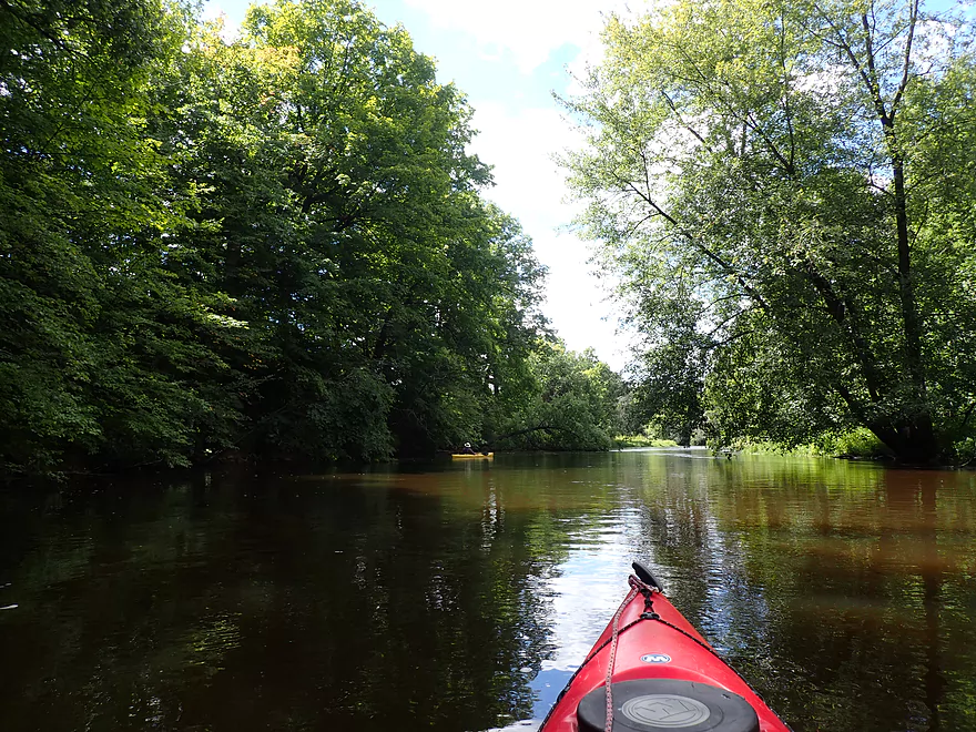
Starting the trip at the Hwy 33 dam
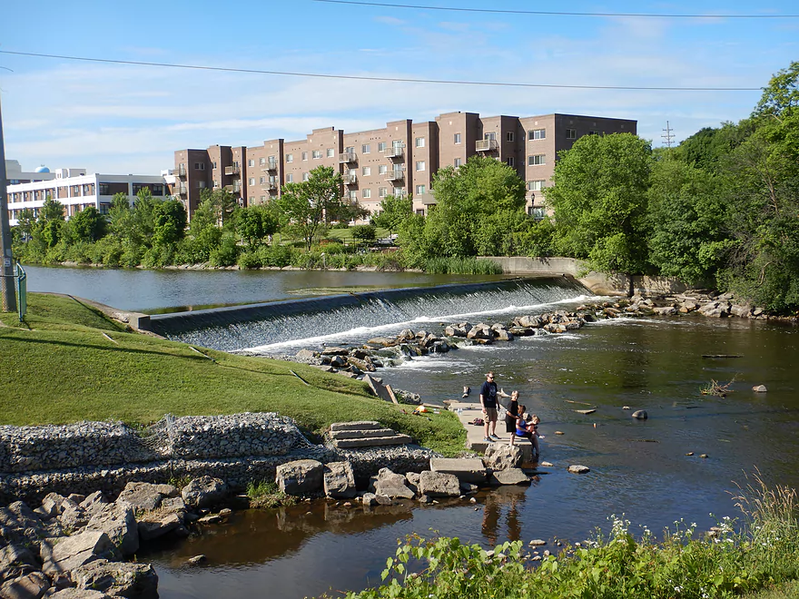
Nice vista of the dam
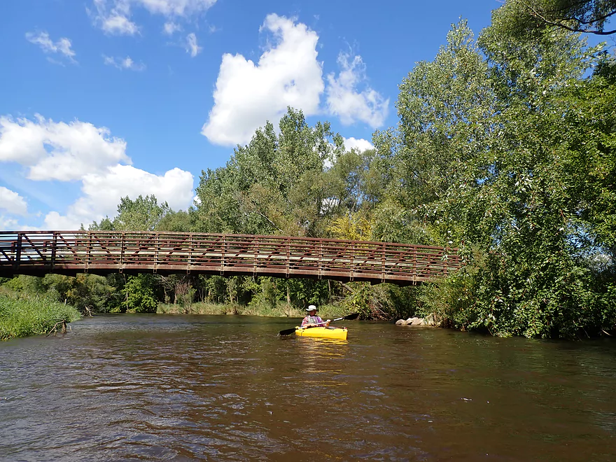
A walk bridge passes over the spillway on the west
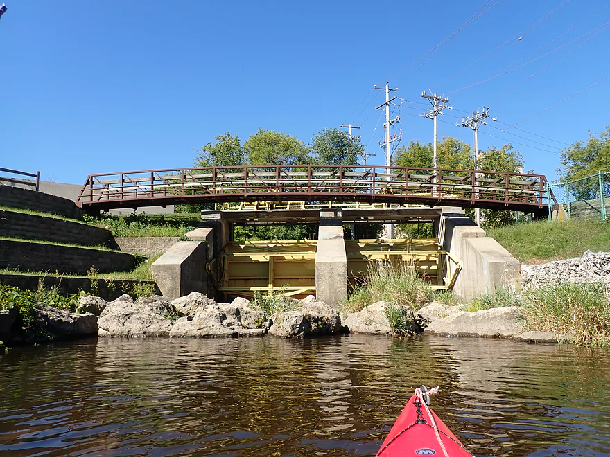
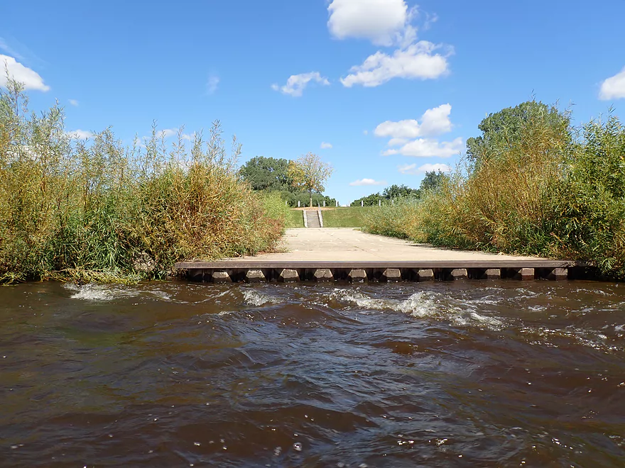
Portage dock along the dam
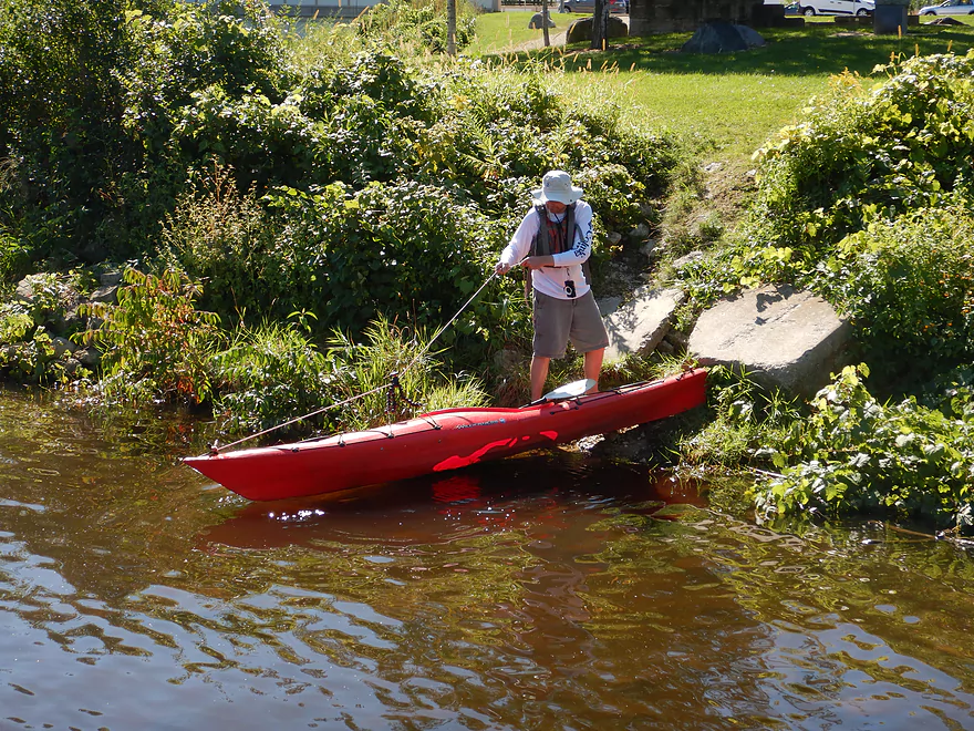
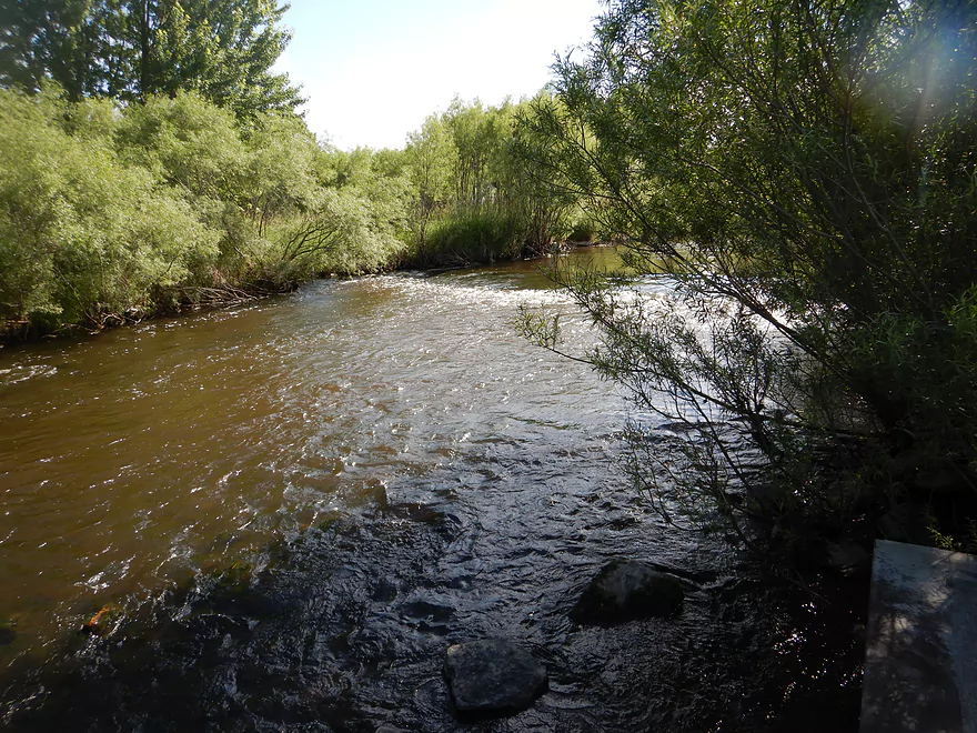
Putting in just below the dam
Strong current, but we could paddle up to a line of rocks below the dam
Some light riffles to start the trip
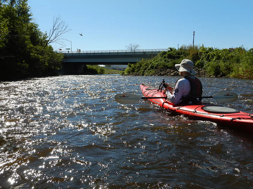
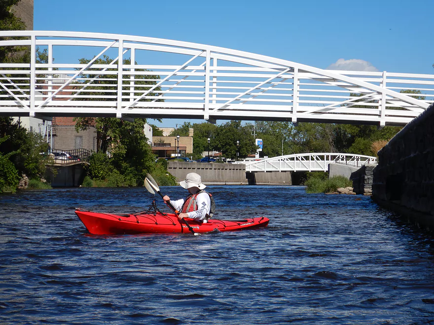
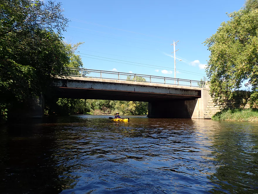
Hwy 33 bridge
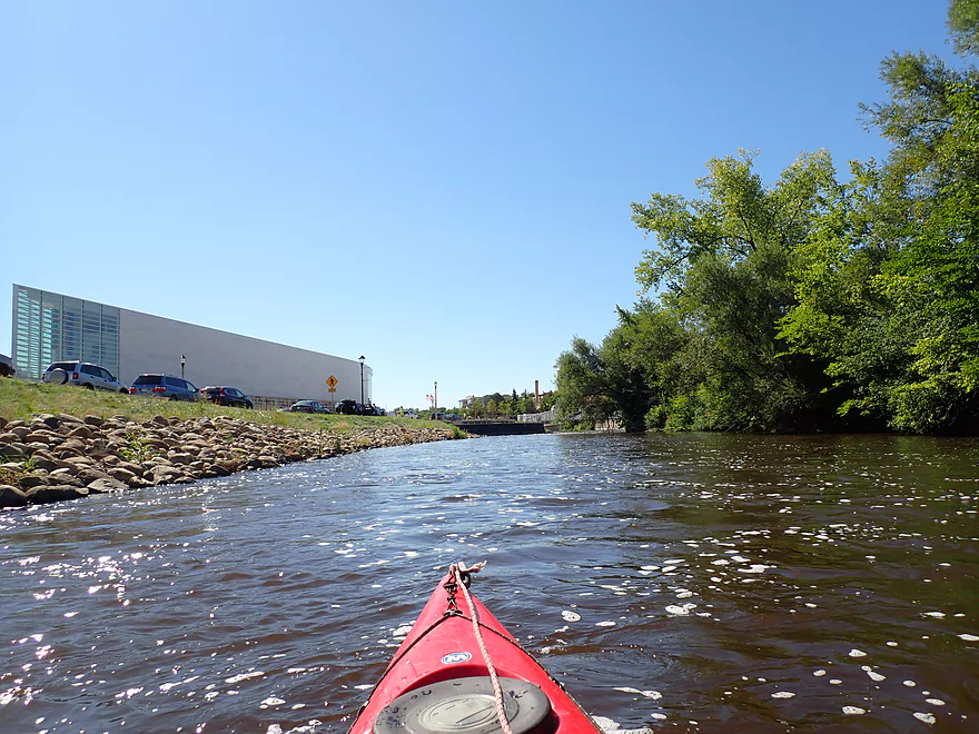
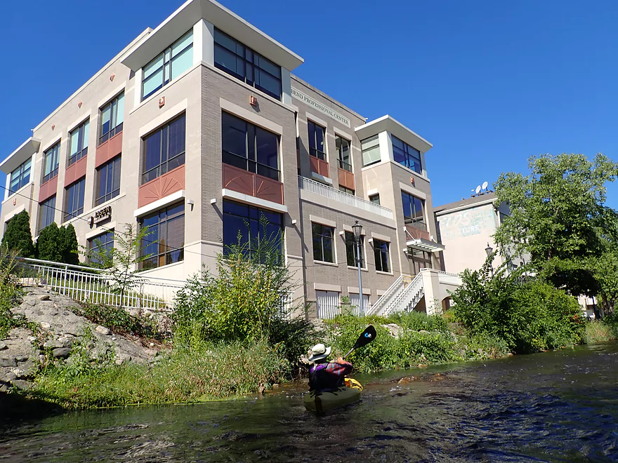
Museum of Wisconsin Art on our left
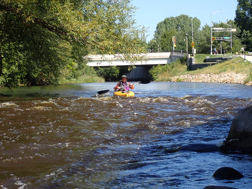
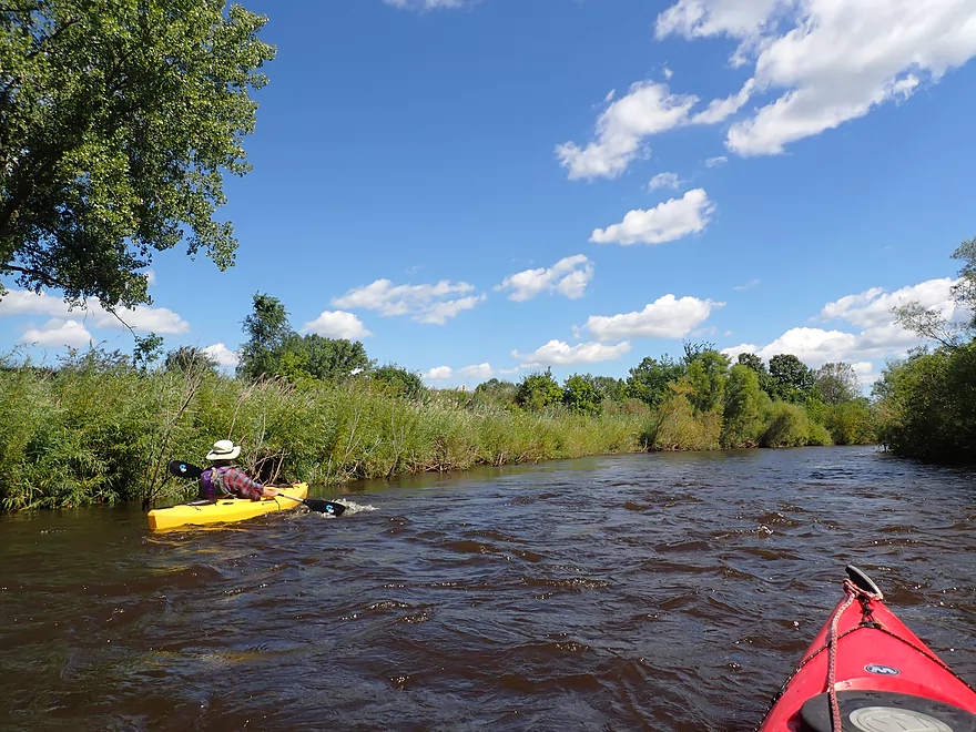
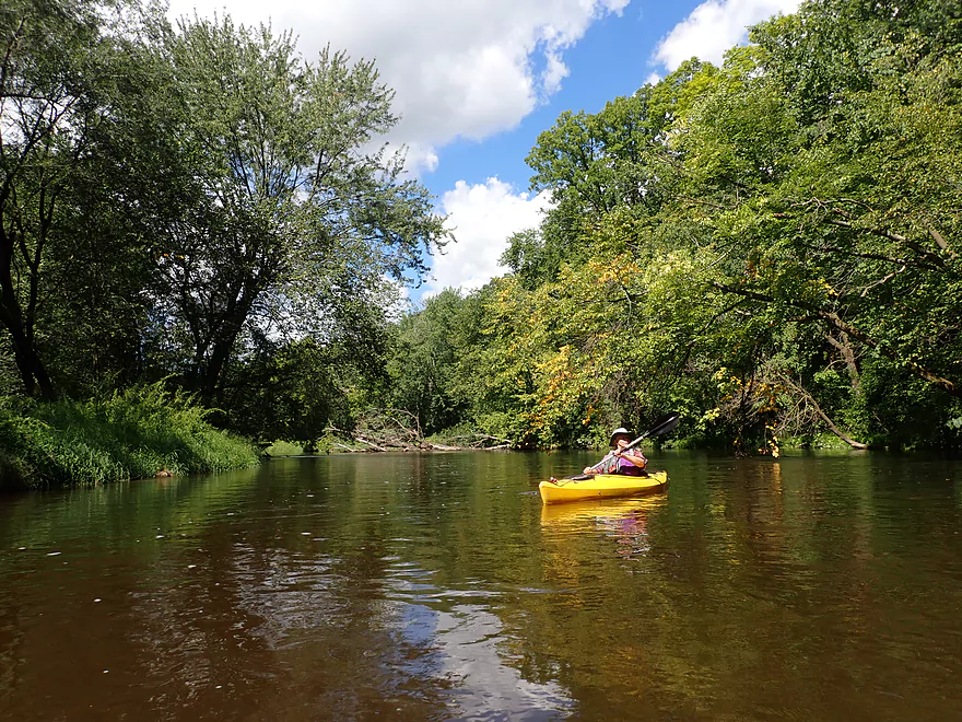
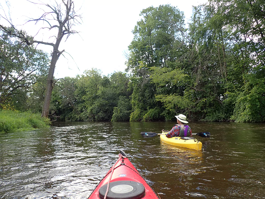
The first mile was quite fast
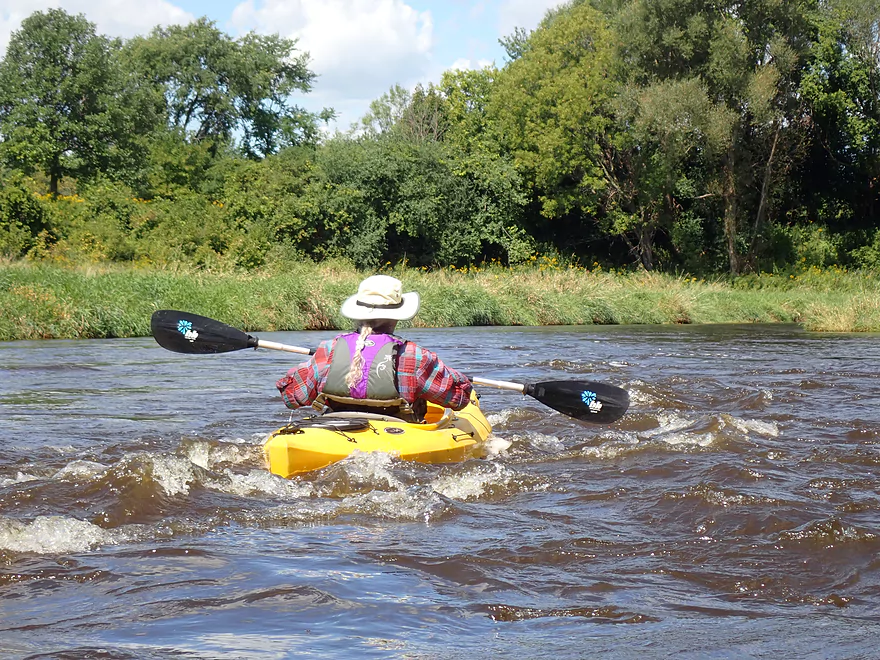
First decent rapids
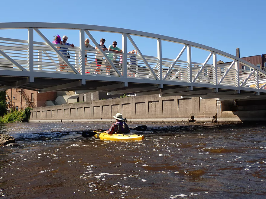
We had quite the crowd watching us
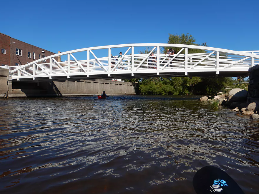
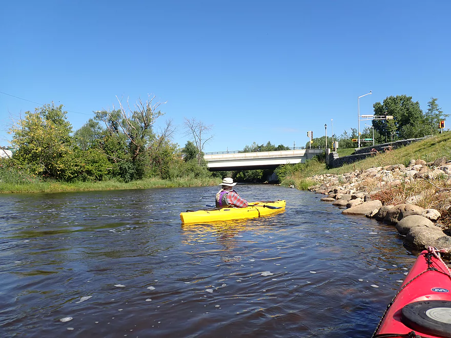
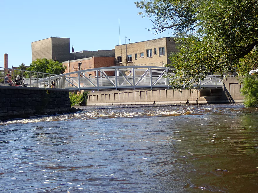
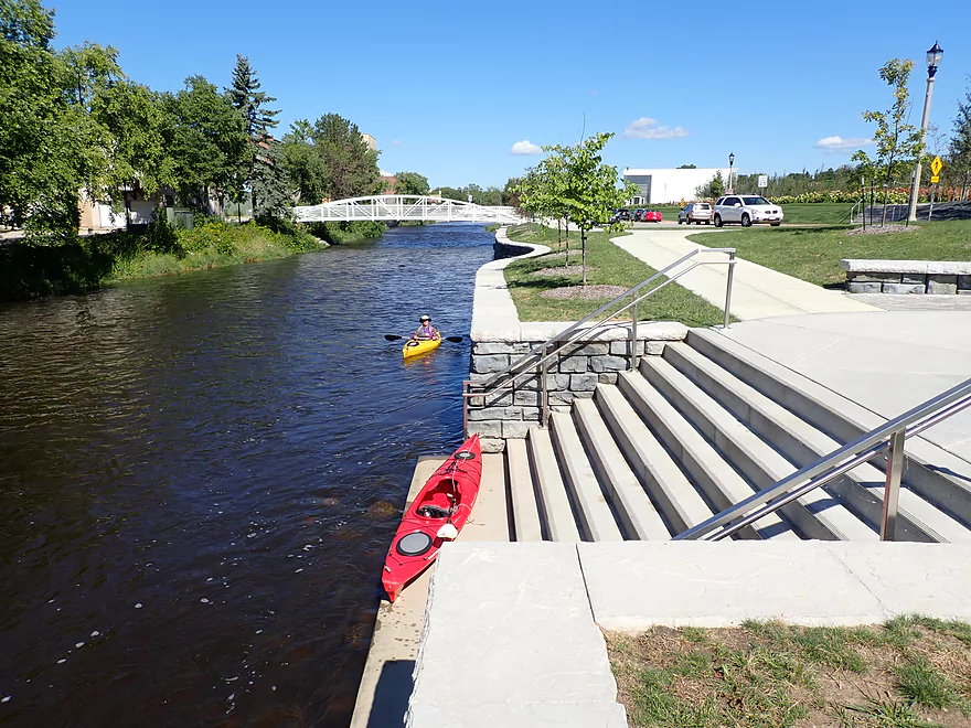
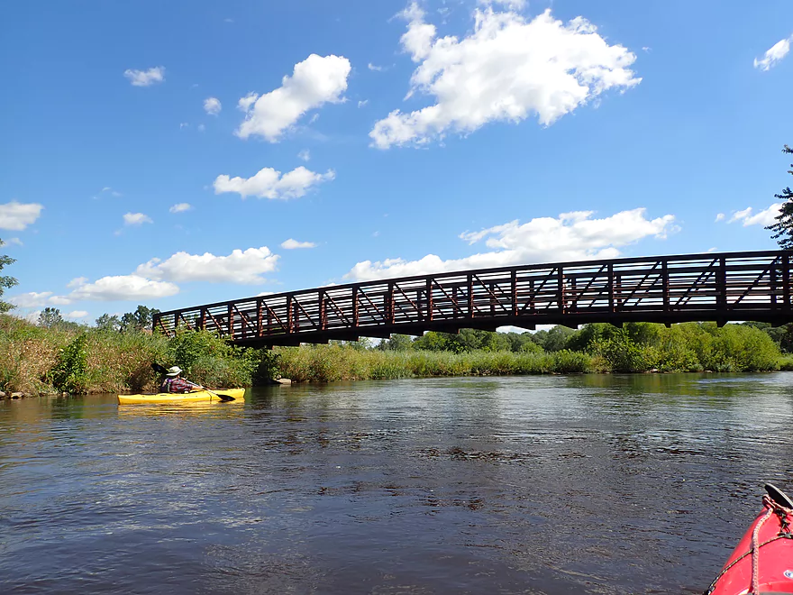
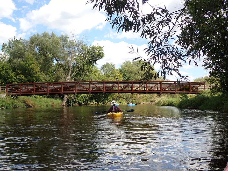
Cool white bridges (these are relatively new)
There are actually two of these bridges
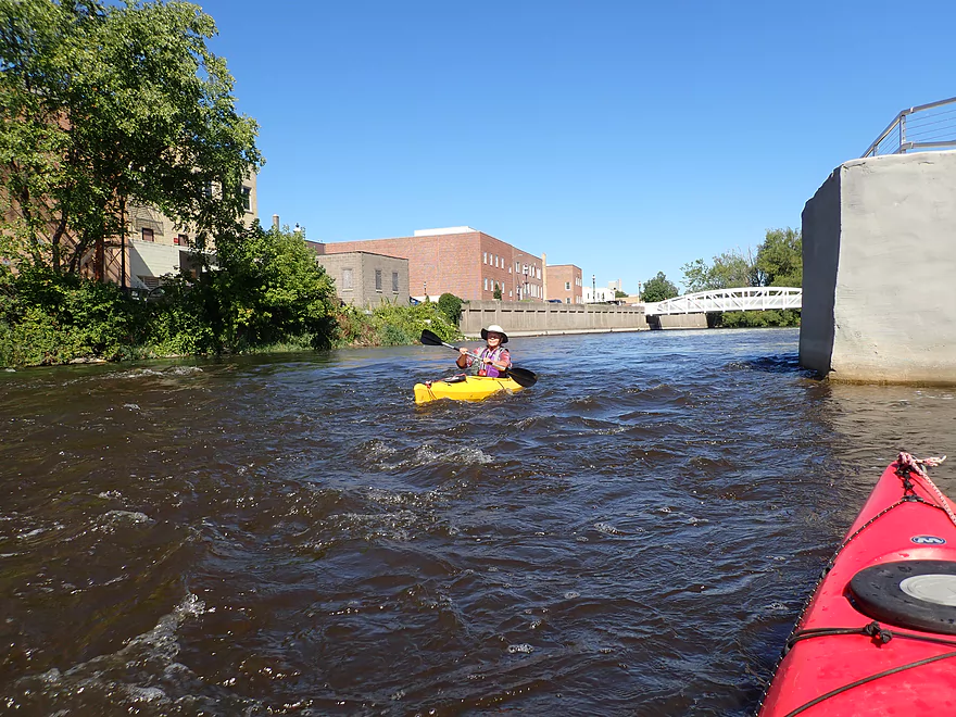
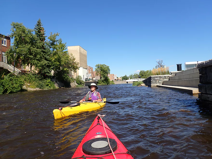
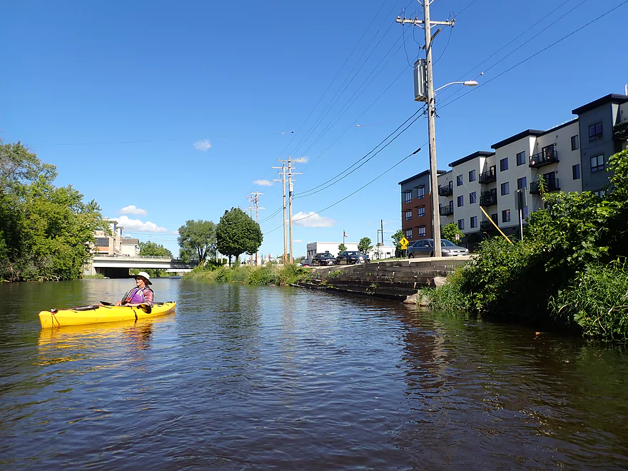
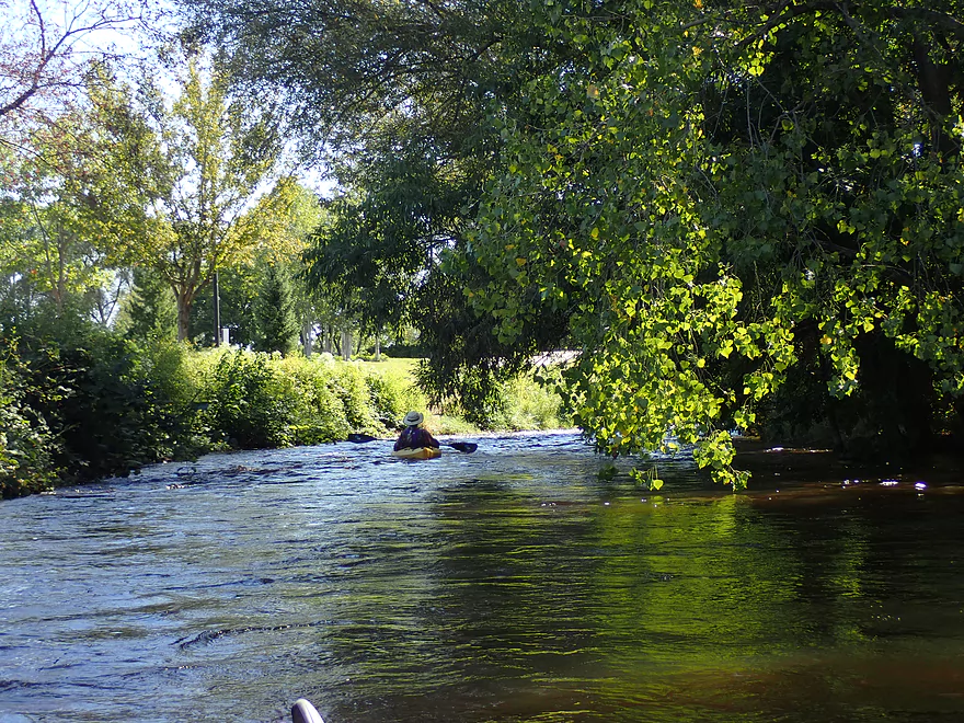
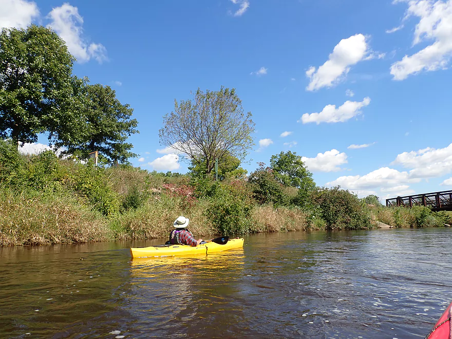
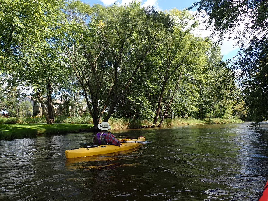
Paddling through downtown West Bend
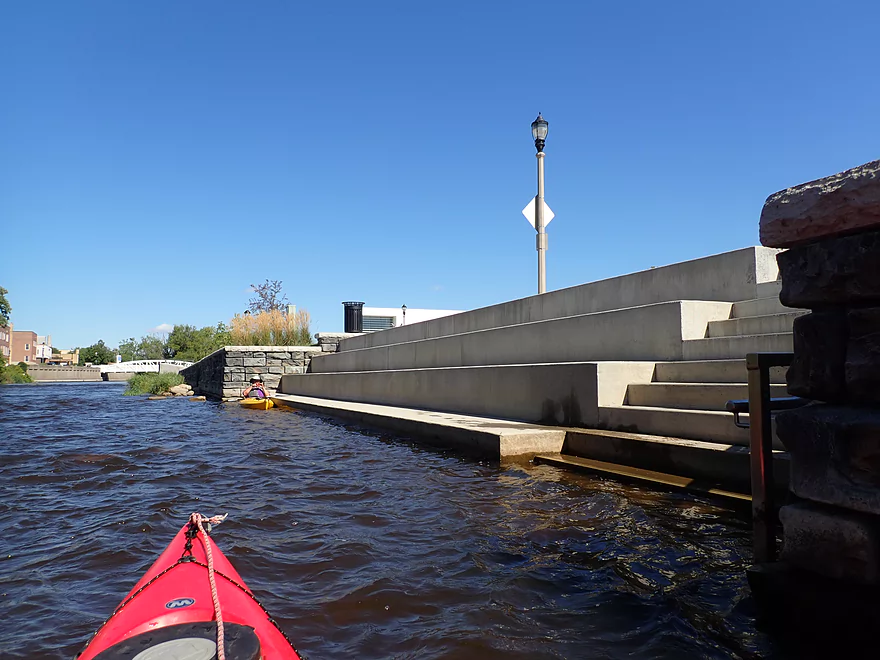
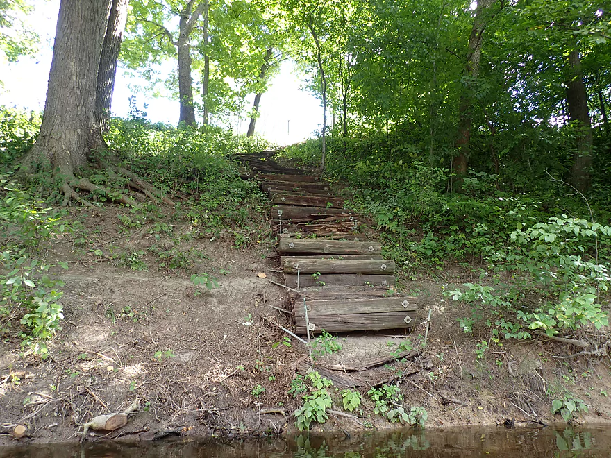
Nice public access steps
Getting out for more pictures
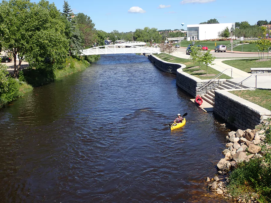
Cool vista from Veterans Ave
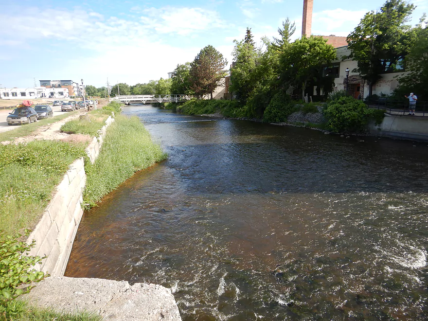
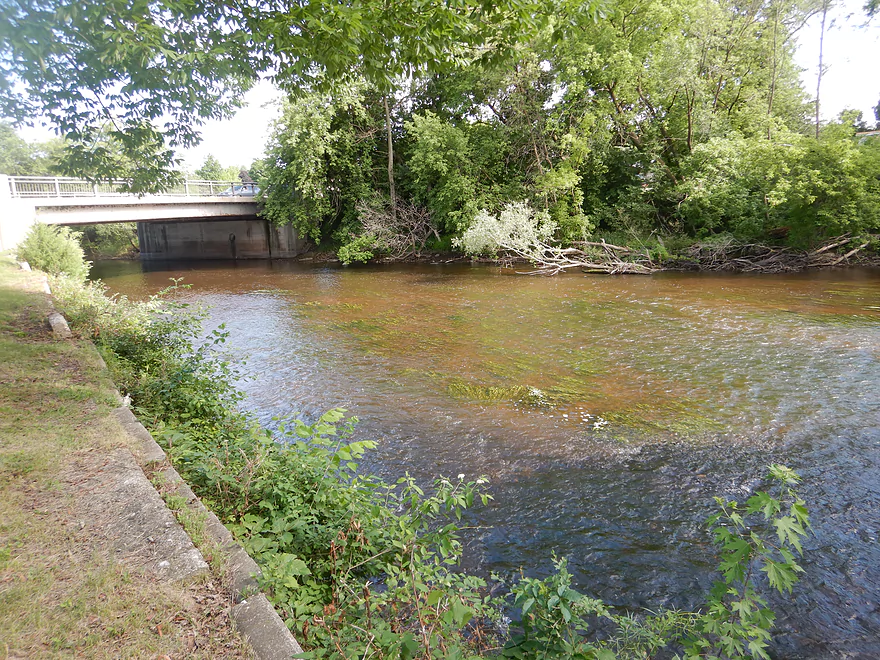
Two year old picture (278 CFS) of the same stretch
One of the larger riverfront buildings
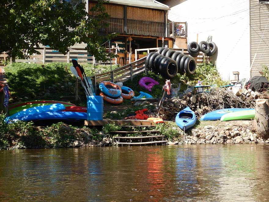
Zodiac Kayak Adventures has boats and tubes to rent
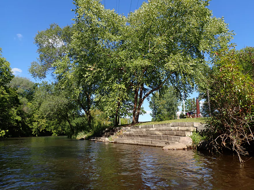
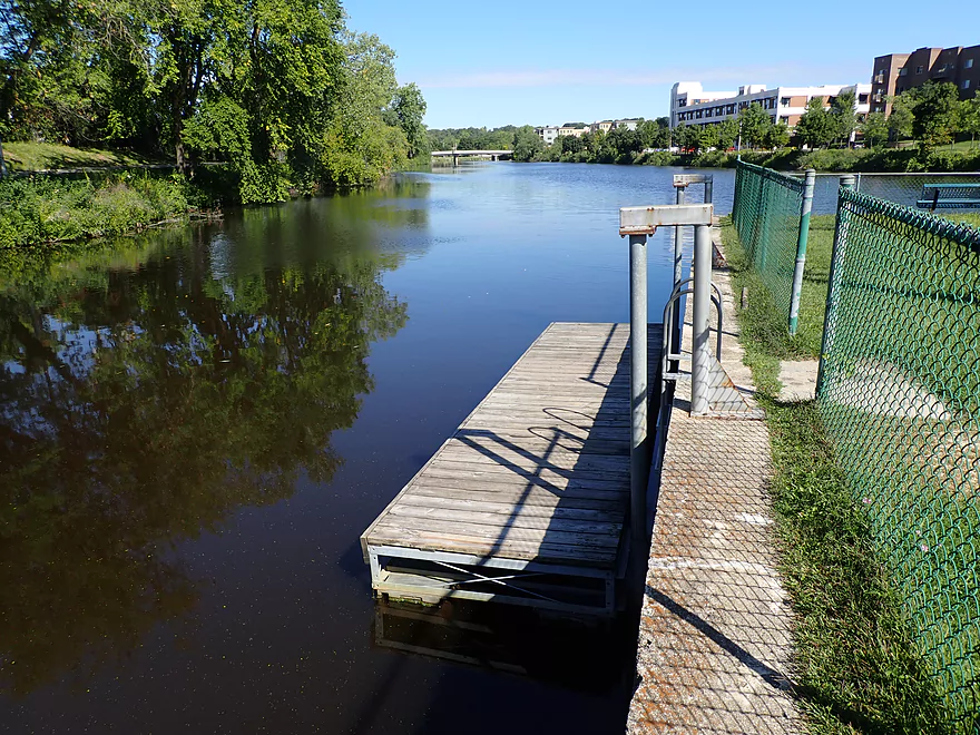
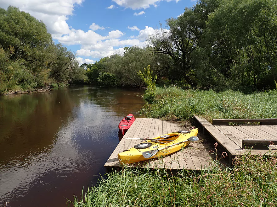
More good public access
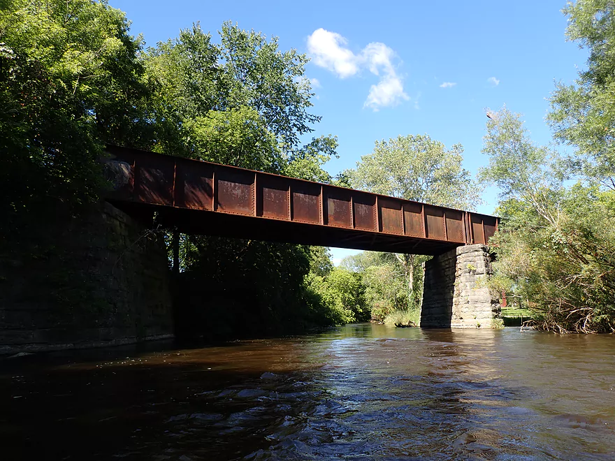
An old railroad bridge–now the Eisenbahn State Trail
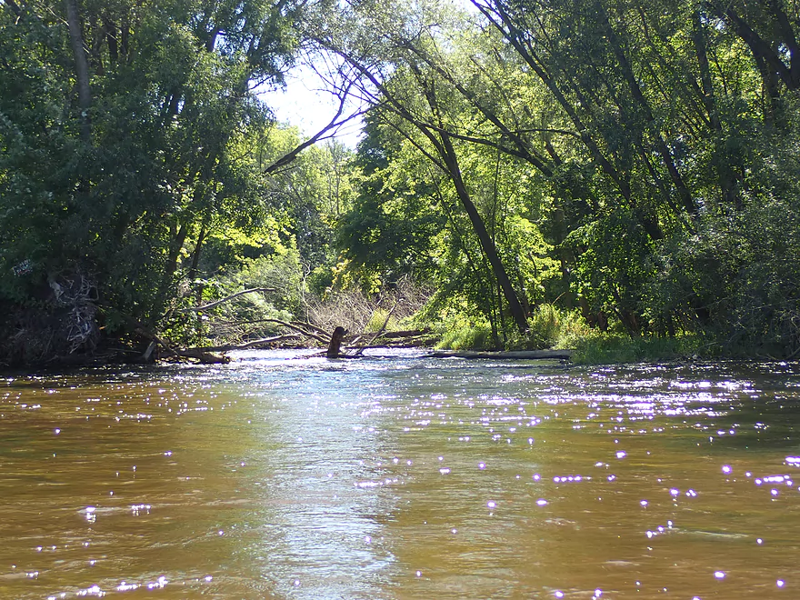
Just after that is an island with a congested right channel
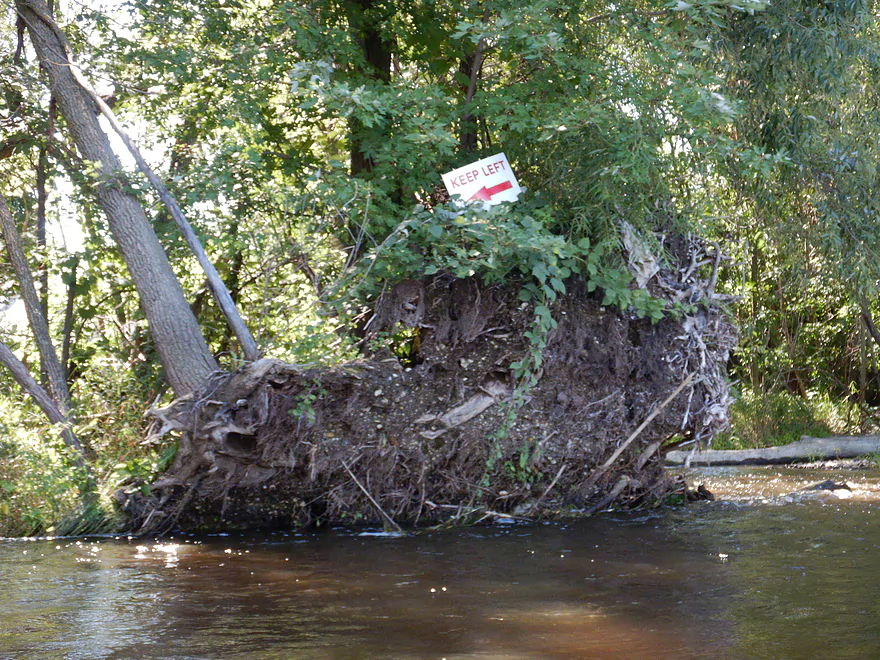
A sign warns to go left
Which is all clear
S. Indiana Ave
Good current here
Same view…278 CFS
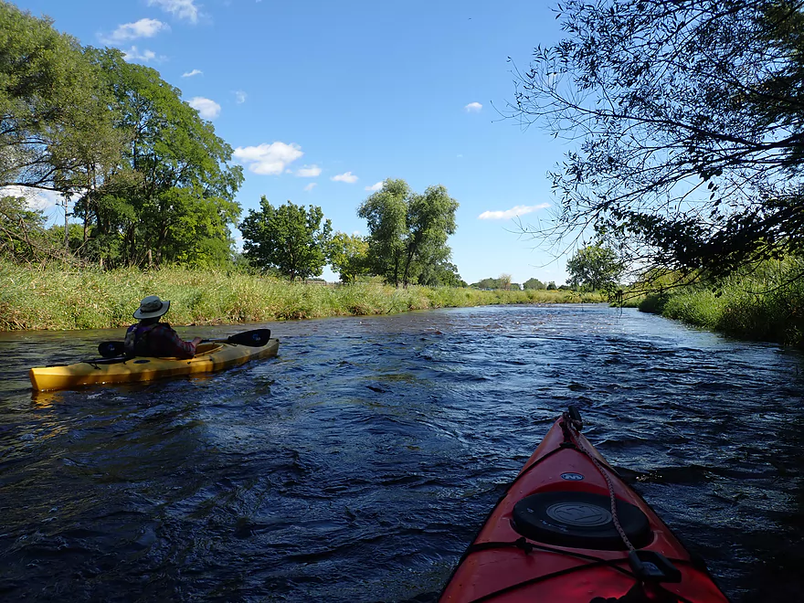
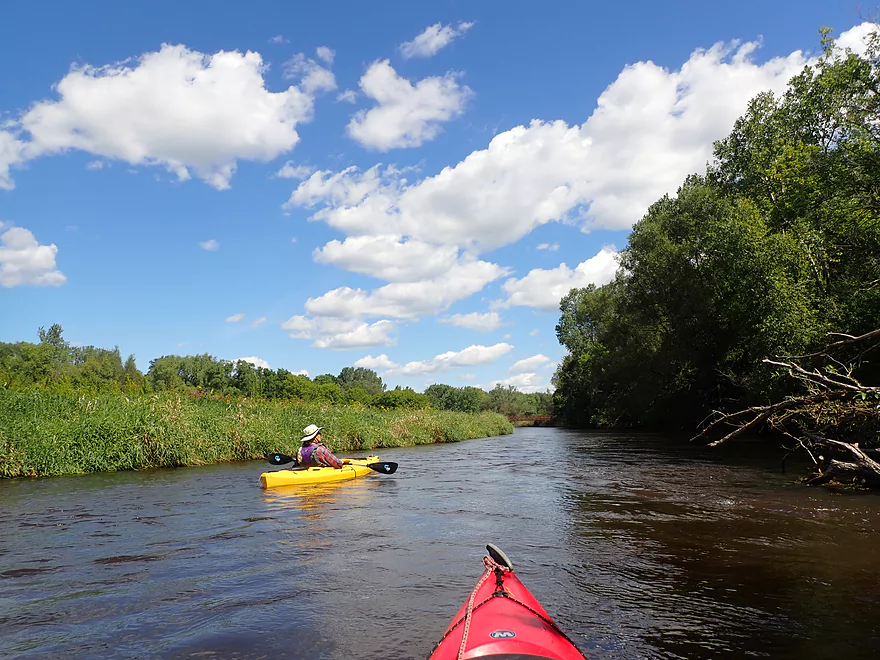
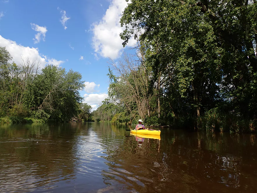
Nice open stretch where the Woolen Mills flowage used to be
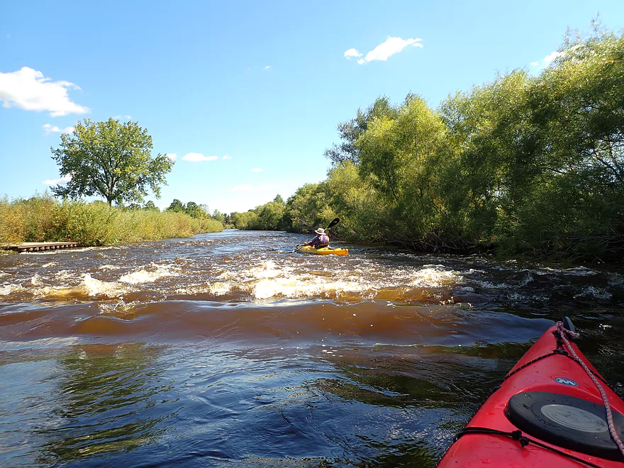
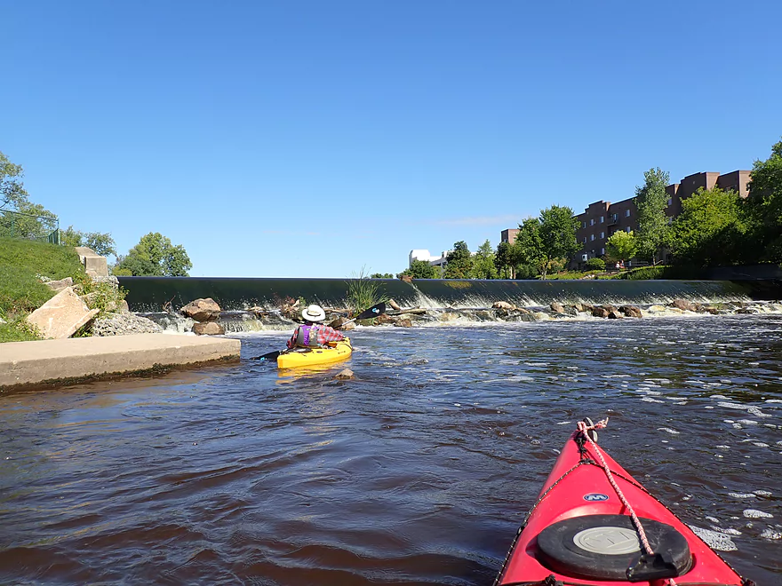
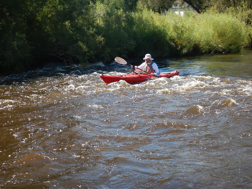
Strongest rapids of the trip (Class 2)
Reverse view
Public access by Riverside Park
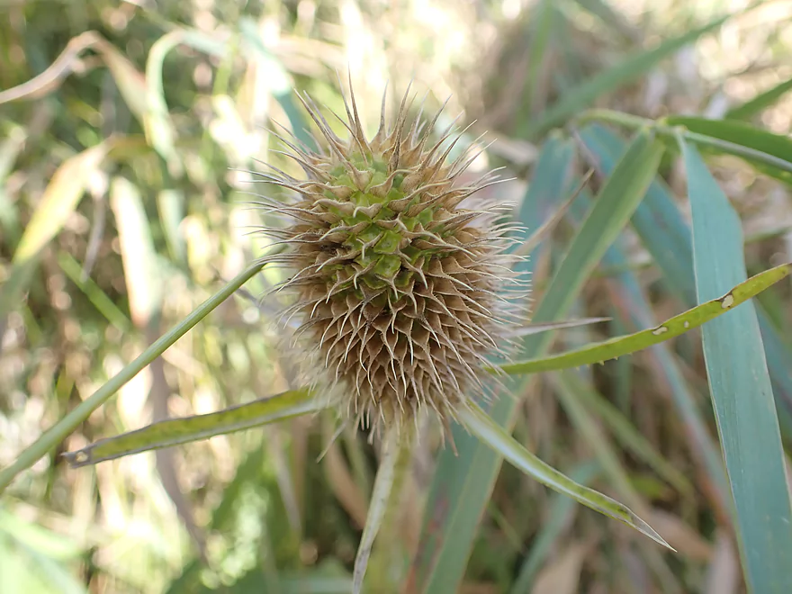
A teasel seed head
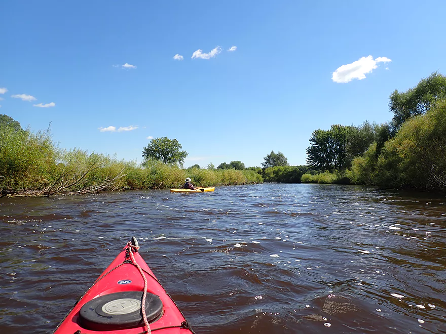
View of the “mighty rapids” at just 278 CFS
Nice stretch with prairie grasses
Part of the extensive Riverside Park trail network
Nice blue skies
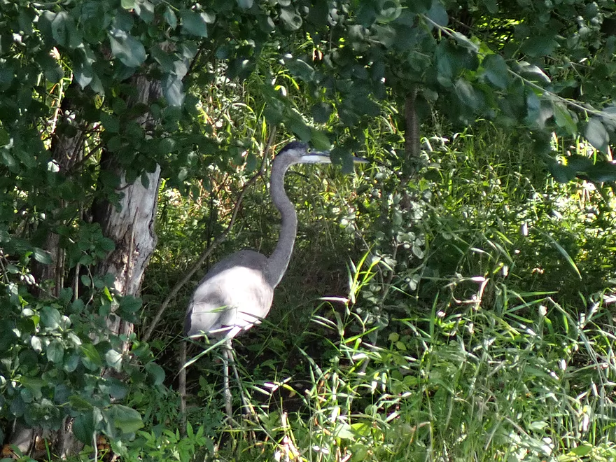
A relatively tame great blue heron
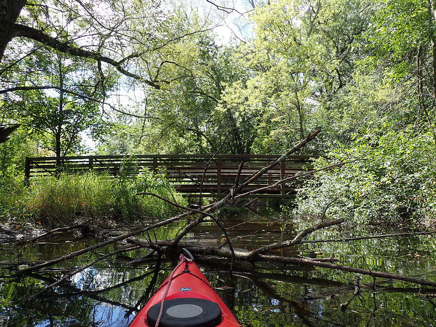
More trail bridges
Fun rapids
Need to avoid the strainers in fast current
Third walk bridge
This area was all under the Woolen Mill flowage at one time
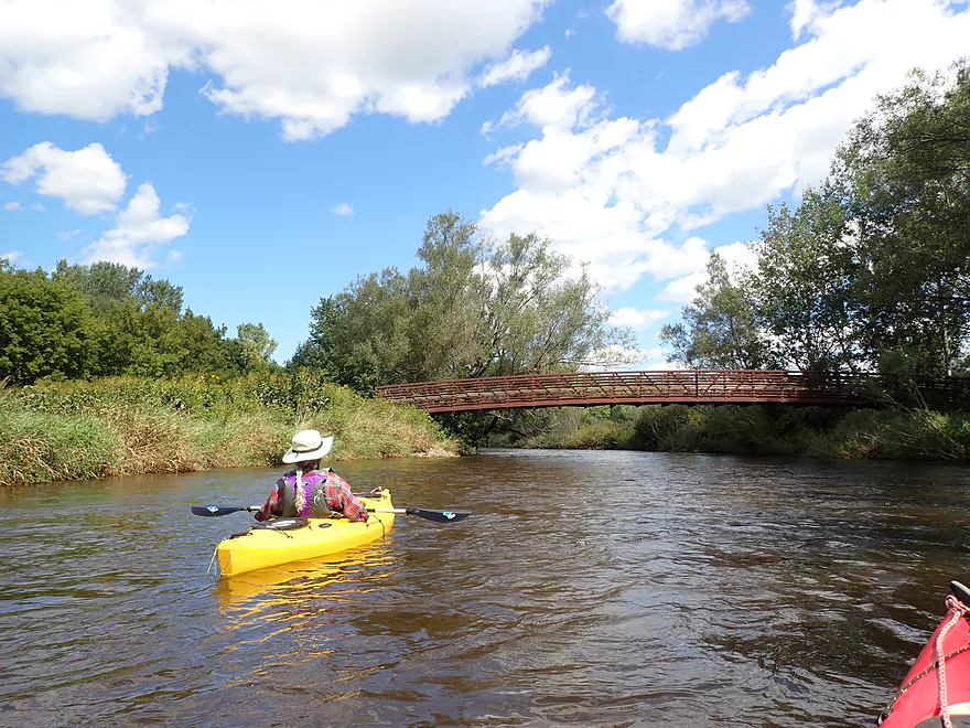
And…the fourth bridge
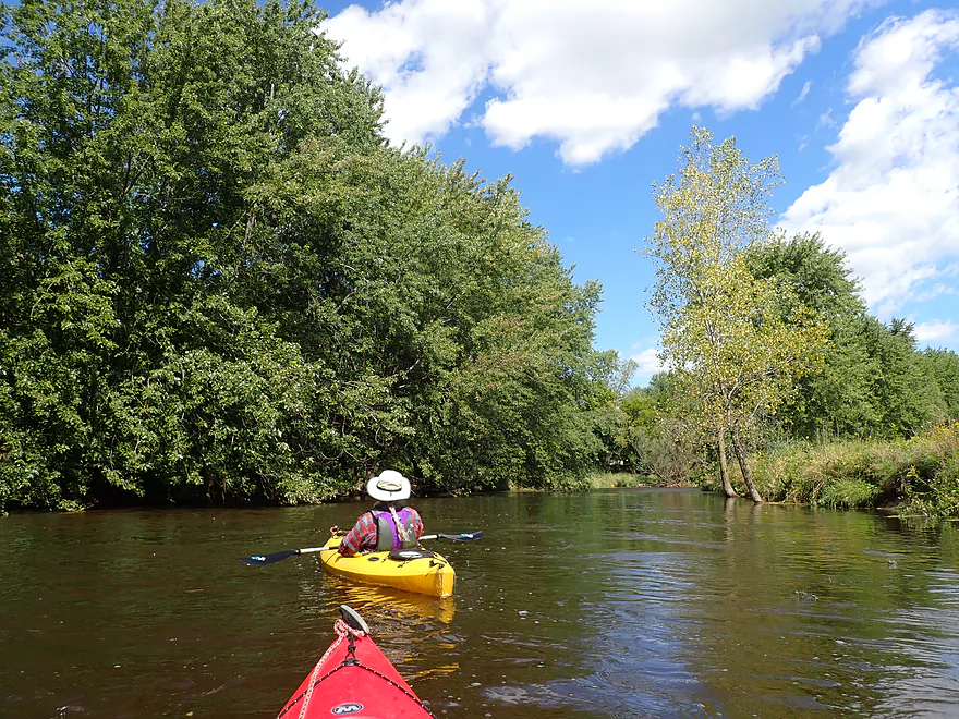
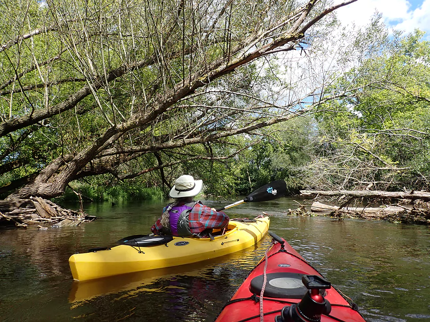
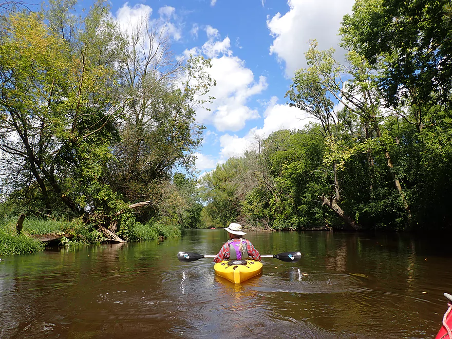
River starts to get more wooded
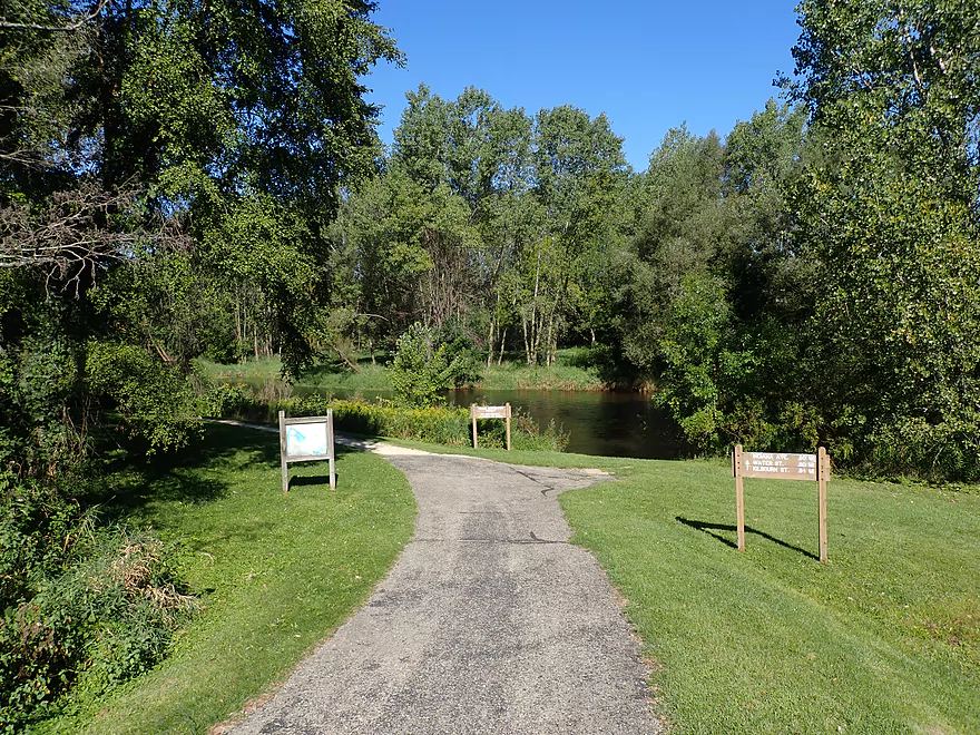
Riverside Park…where the Woolen Mills dam was removed (1988)
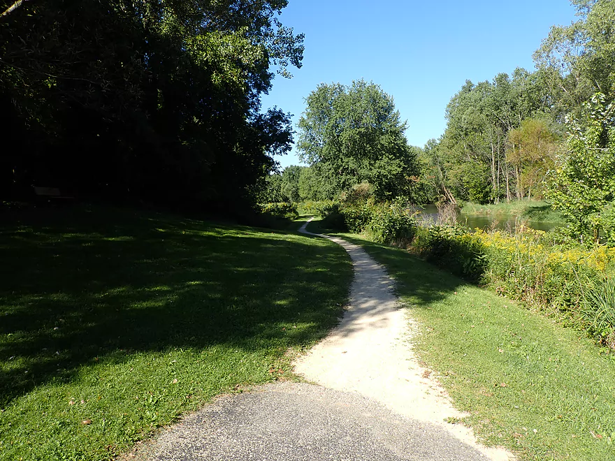
This park connects with a terrific trail system
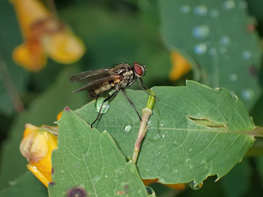
A house fly closeup (with dew and jewelweed)
After the former dam…the river becomes way more wooded
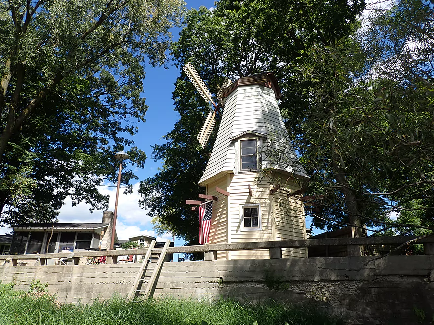
A Dutch windmill (with an American flag)
Private riverside access
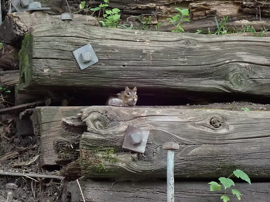
Somebody spying on me
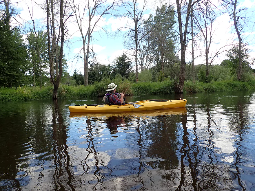
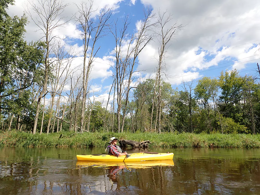
Here the river was slower, deeper, muddier and more wooded
Some river reflections
The second half of the trip wasn’t as interesting
Part of a large ash tree graveyard
Quaas Creek (not navigable)
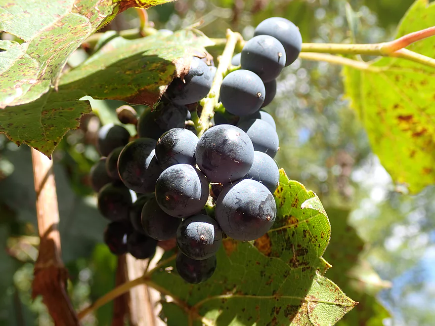
Wild grapes (a bit bitter)
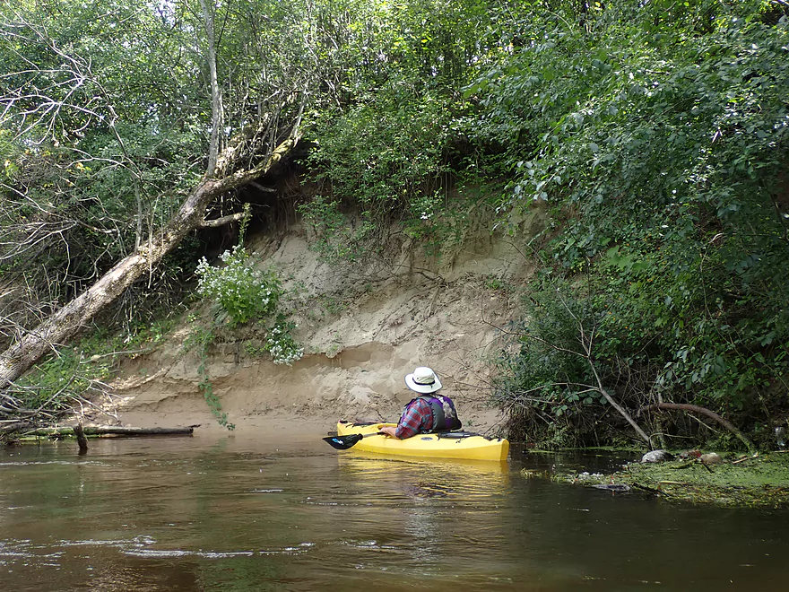
A natural sand bank
Some low branches, but no logjams to worry about
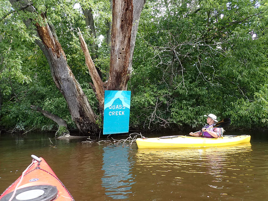
A confusing sign…as Quass Creek is not located here
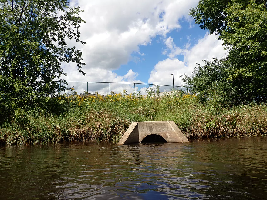
West Bend effluent outlet
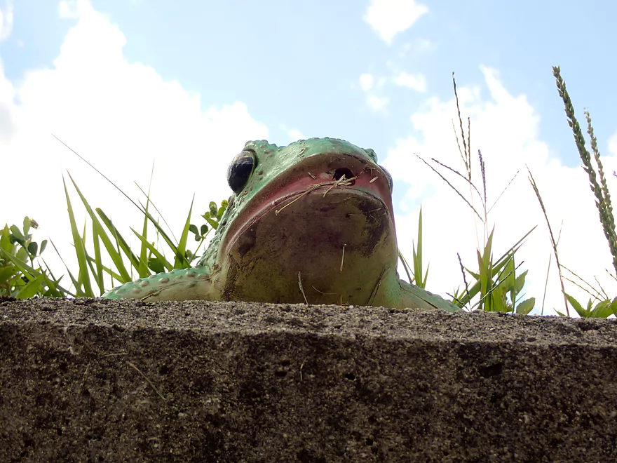
With a toad standing guard
Quass Creek Park
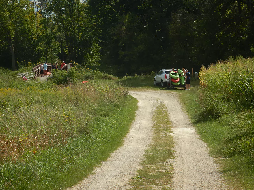
Taking out on the public boardwalk
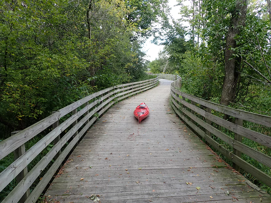
A really nice boardwalk connects the landing to the parking lot
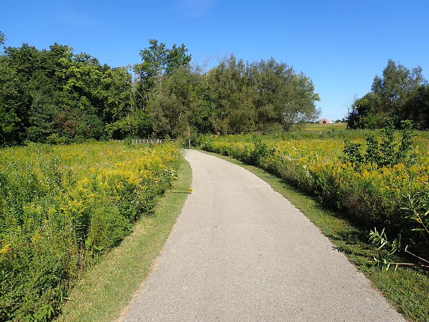
A fantastic prairie located in the park
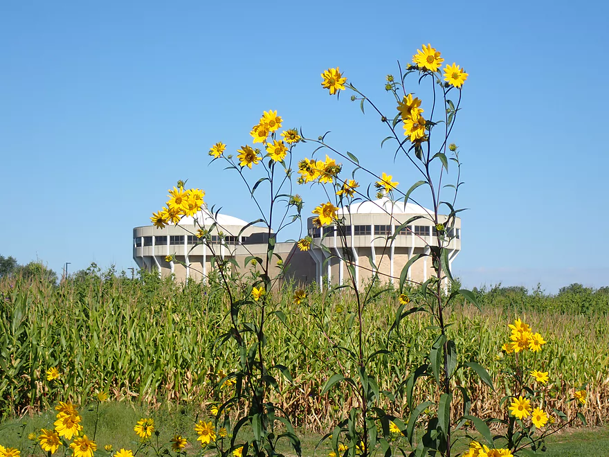
View of the West Bend sanitation plant
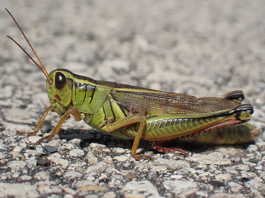
This grasshopper let me get really close for a photo
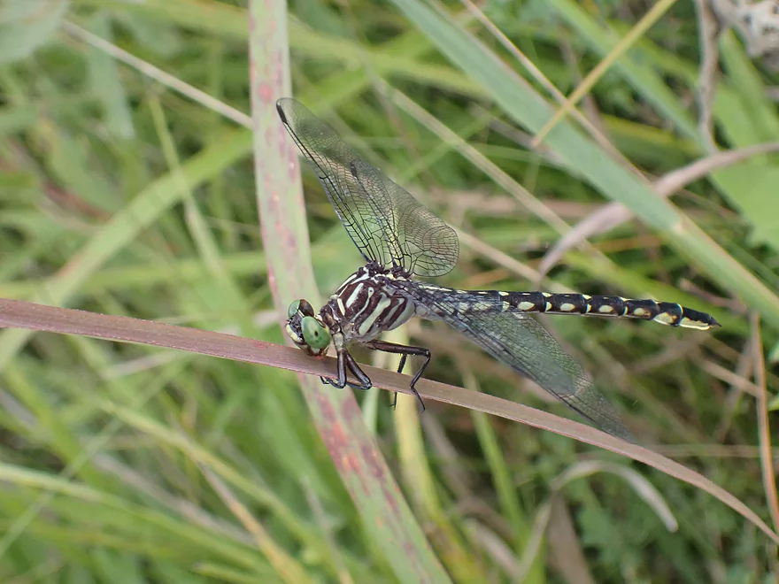
Dragonfly holding on for dear life

A female grasshopper trying to lay eggs into my hand with her ovipositor
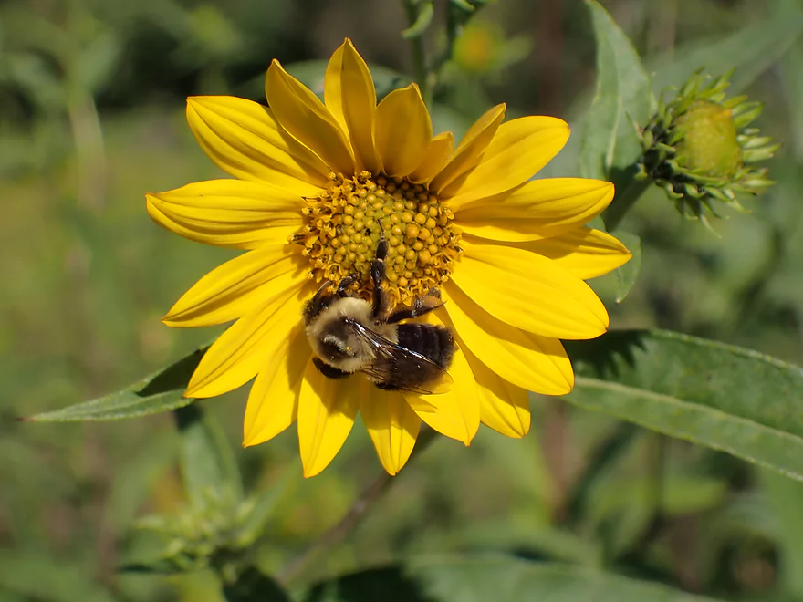
A bumblebee on a wild sunflower
Quaas Creek Park has a north access too which is popular with kayakers
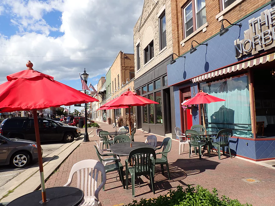
Exploring downtown West Bend after the trip
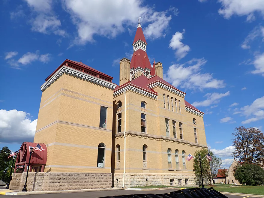
The iconic Washington County Courthouse–now the Washington County Historical Society
Milwaukee River – West Bend

This trip starts at the city of West Bend where large glacial moraines redirect the Milwaukee River from its southward trajectory east toward Lake Michigan. The natural river channel here descends at a steep gradient over glacial rocks and gravel. Sadly most of this gradient has been buried over the years by not one, not two, but three dams in the city of West Bend. Thankfully in 1988 one of these dams (Woolen Mills Dam) was removed. When the millpond was drawn down, it revealed a truly special section of the river and IMO the best paddle on the Upper Milwaukee.
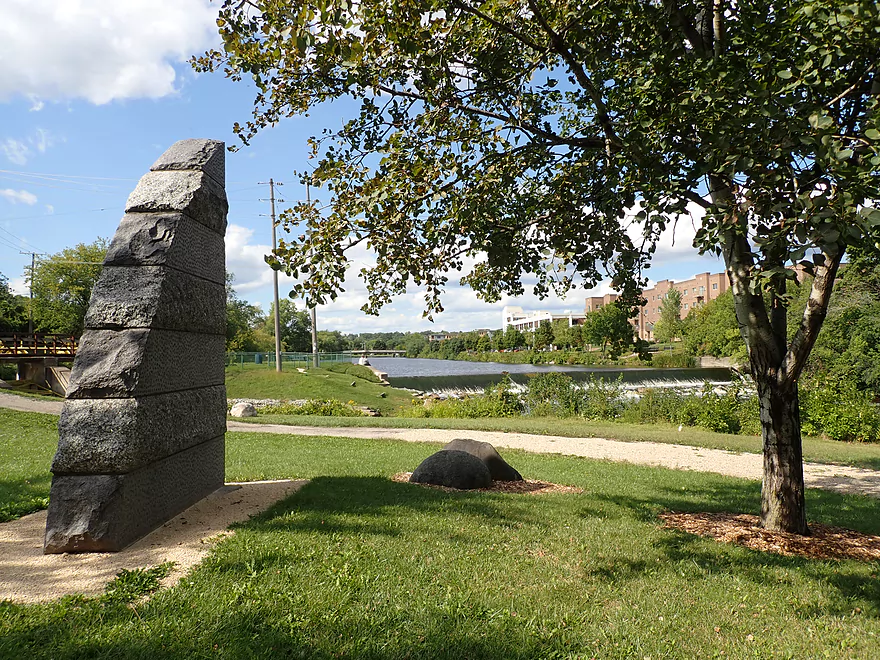
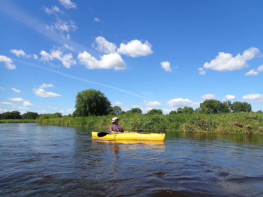
We started the trip at the Hwy 33 dam where there is a public park and a good access area for launching. This park is scenic with a nice vista of the dam itself…but is a bit strange as it features some weird abstract art. There are random rock blocks that look like a partially deconstructed foundation…then there is a rock “feather”. You wouldn’t it was a feather unless you read the sign though.
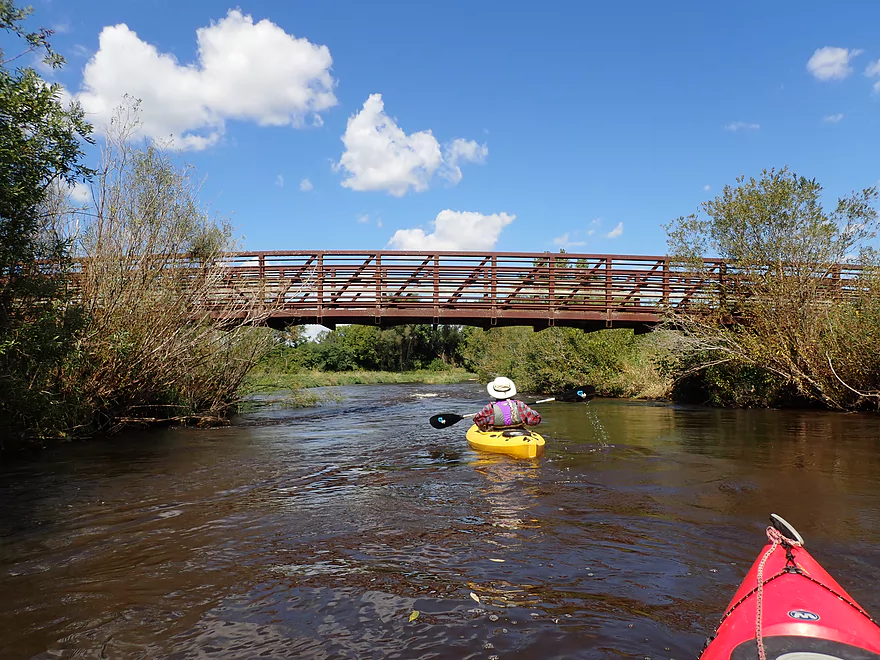
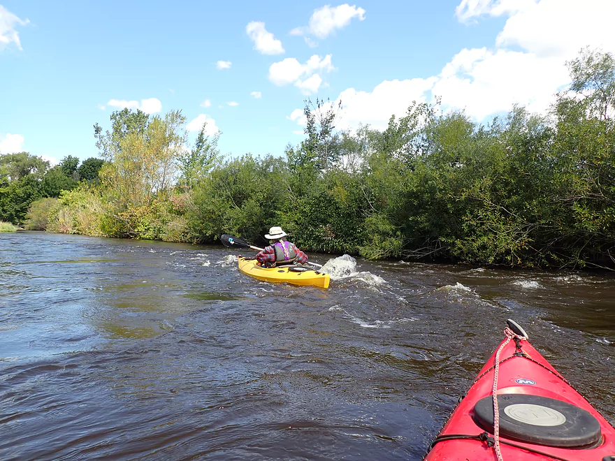
The first mile of the trip flowed through downtown West Bend which features a relatively new riverwalk (we saw this under construction in 2018). This riverwalk consists of several scenic white pedestrian bridges, attractive stone retaining walls, a large bike-friendly sidewalk, and attractive stairs that serve as access points. From the river we saw many downtown West Bend buildings, including the Museum of Wisconsin Art.
The channel in the first mile was quite fast and featured many light rapids which were a lot of fun. Crowds from the pedestrian bridges appeared to enjoy watching us go through them. The speed of the river really surprised me and this was a trip highlight.
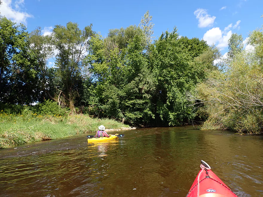
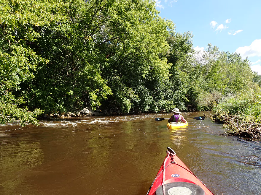
Downtown West Bend faded away once we passed the old railroad bridge (now the Eisenbahn State Trail). Just after this was an island with a nasty strainer in the right/south channel. But some friendly local posted a sign directing paddlers to take the left channel, which was wide open and clear sailing.
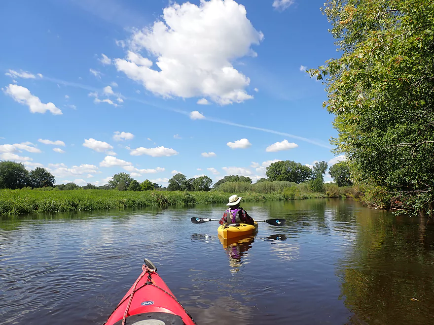
Past Indiana Ave, we encountered what used to be the heart of the Woolen mill pond. Now it’s quite different as there’s good current, a scenic prairie and a public trail system along the river. This transformation was quite dramatic and represented yet another successful dam removal project. Here are some of the before dam / after dam pictures. Sadly despite this success and others (like on the Baraboo River and Crystal River), dam removals in Wisconsin have tailed off in recent years. This is due in part because many modern conservation groups are sadly apathetic to this issue.
While maybe not quite as fast as upstream of Indiana Ave, the stretch below here is still brisk and features some rapids. The strongest of which is just downstream of the bridge and is pretty safe as long as you stay clear of the right shoreline where there are strainers.
At River Road bridge we came to where the Woolen Mills dam used to reside. Now there is an attractive public park here which is a good access option.
The second half of the trip after River Road bridge was dramatically different from the first. Scraggly woodlands replaced the nice prairie plants we saw, and the channel became slower, deeper and less clear with rusty brown water. It wasn’t a bad paddle…but it was a downshift from a 5-star stretch to a 3-star stretch.
Near the end of the trip, we encountered the outlet to the West Bend sanitation plant. It’s a unique building that features two tall holding towers you can see from some distance. Shortly after, we took out at Quaas Creek Park. The park itself was one of the trip highlights as it featured a fantastic prairie that was in full bloom. All-in-all, a very enjoyable paddle.
We didn’t see too much…likely because we were mostly within an urban metro area. But we did see two cranes and three teenage great blue herons that were hesitant to fly.
West Bend Labyrinth Garden: This is a unique public garden arranged as a labyrinth. It’s located in Regner Park (just upstream from the dam).
West Bend Courthouse and Museum: This historic building towers over the rest of the city, and can even be seen from the river. While it used to be a courthouse, it’s now a museum open to the public.
Ice Age Trail: Located on the west side of West Bend is one of the more scenic stretches of the famous Ice Age Trail. Besides the Ice Age Trail there are a number of city trails along the river that are also good hikes.
West Bend Dam/Hwy 33: There is a public parking lot here with good access below the dam…very scenic. A pier and ladder are available on the upstream side of the spillway in case you want to access the flowage or intend to portage the dam.
Alternate Put-ins:
- Upstream of Hwy 33: In theory you could launch on Barton Pond via one of the adjacent parks, but to continue downstream you would need to portage the Hwy 33 dam (which is doable). Putting in via the next upstream dam (by Hwy 144) may be an option too, but I suspect it would be tricky as there doesn’t seem to be much room to portage around this dam. For 99% of paddlers, the Hwy 33 dam is the best put-in.
- Downstream of Hwy 33: There are numerous access points on the river here…such as by the Veterans Ave bridge or by the Riverside Park Disc Golf Course. But I don’t recommend these. If you put in too late, you miss out on the scenic downtown section that has the best current.
Quaas Creek Park – South Access: North of the main parking lot is a trail that leads to the water and a wooden pier for launching. This is a good public access (and scenic with many prairie plants), but does require dragging your boat 570′ over the trail system (IMO worth it).
Alternate Take-outs:
- Quaas Creek Park – North Access: While we took out along the south shore, most paddlers take out on the north shore. The advantage of doing this is you can double park and pick up your boats right next to the water (almost no walking). However…be warned that a sign on Enterprise Street warns that vehicles are not allowed on the drive that leads to the water. I was told by another paddler that the city lets paddlers drive down though to load/unload (don’t quote me on that). Even if you can drive down, I’m not sure if you can leave your vehicles by the water during your paddle (paddlers still do). If you don’t leave your vehicle by the water, you’ll have to park on Enterprise Street which would entail a long 775′ hike to your car. Hopefully the city formally converts this area to an official launch in the future.
- Riverside Park/River Road Bridge (1.8 miles upstream): In some ways this is a very good take-out option…the park is nice and it marks the end of the best part of the trip. But…from the dam to Riverside Park is just 2 miles…likely too short a trip for most paddlers.
- Goeden County Park (6.3 miles downstream): Most paddlers will consider our 3.9 mile trip too short and will prefer to take out at Goeden Park which is a good access. The stretch from Quaas Creek to Goeden County Park is solid and one that I reviewed two years ago.
Bike Shuttle: 3.5 miles with 85′ of ascent. While we car shuttled this would be a fantastic bike…in fact one of the nicer kayak/bike combo options in the entire state. This shuttle would require little road peddling and be mostly along public trails that have scenic vistas of the Milwaukee River. Be warned that the main shuttle route does include the Eisenbahn State Trail…which technically requires a state trail pass.
Logjams/Fences: Practically none. Between the railroad bridge and Indiana Ave there is an island…and the south channel has a logjam. But the north channel is wide open and a sign warns paddlers to stay left (north) to avoid this.
Strainers: In high water there are some strainers in fast current along the shore to be mindful of. Experienced paddlers shouldn’t have any problem dodging these. Either way, this is definitely a stretch you want to wear your life jacket on.
Rapids: There are many rapids upstream of River Road. Most are Class 1 and easy…but there is a Class 2 (in higher weater) just downstream of Indiana Ave. Stay away from the right bank where there are some strainers…otherwise this is pretty easy.
The nearest gauge is a decent ways downstream at Cedarburg but should still be somewhat helpful. We did the trip at 700 CFS (which was high).
- 0-250 CFS: Good clarity, but likely too shallow for paddling upstream of Riverside Park. The stretch downstream from Riverside Park likely never gets too shallow for paddling.
- 251-350 CFS: You may need to walk your boat in several stretches (upstream of Riverside Park). We scouted this area during our 2018 trip (278 CFS).
- 351-600 CFS: A good target range for the stretch upstream of Riverside Park.
- 601-800 CFS: A high depth. The current will be more pushy and the rapids will be bouncier…but this should be manageable.
- 801-1000 CFS: A very high depth. The current may become very pushy and obnoxious. Perhaps only for experienced paddlers.
- 1001+ CFS: Probrably too high for most paddlers.
Detailed Overview
Additional access options are visible on the overview map. Special thanks to Milwaukeeriverkeeper.org which has some detailed information on the river, including this great map.
- Upstream from Happy Road: Not viable for kayaking.
- Happy Road to Meadow Road: (0.7 miles) Small but mostly open stretch partly straightened by farmers. Likely ok.
- Meadow Road to Cty W: (1.5 miles) Very open stretch that flows past wetgrass marshes and farms. Likely an ok prospect with no logjams.
- CTY W to CampbellSport: (4.5 miles)
- Hwy W to Campbellsport Wayside: (4.1 miles) Starts as a narrow wet grass marsh and widens into a slower cattail marsh. Marsh recedes when sandwiched between two drumlins and becomes rockier and faster with some rapids. Overall a varied and scenic paddle. As of 2025 one logjam will have to be portaged.
- Campbellsport Wayside to Columbus PARC: (0.4 miles) A pleasant and scenic leg flowing past the outskirts of Campbellsport and a local town park.
- Campbellsport/Columbus PARC to Cty Y: (2.8 miles) Maybe 2-3 logjams. Otherwise this is a scenic stretch.
- Cty Y to Hwy 45: (1.7 miles) Maybe 3-5 logjams.
- Hwy 45 to Auburn Ashford Drive: (1.3 miles) Maybe 1-3 logjams...some riffles.
- Auburn Ashford Drive to Old Bridge Road: (0.7 miles) Maybe 1-3 logjams.
- Old Bridge Road to West/Main Branch Confluence: (2.0 miles) Maybe two logjams. For those launching above Kewaskum, I think they will start on the West Branch instead.
- Alternate - Hwy 45 to West/Main Branch Confluence: (0.7 miles) Probably one logjam...but more viable than starting from Old Bridge Road.
- West Branch/Main Branch Confluence: (2.8 miles) A mediocre prospect. Maybe one logjam..I don't know much more.
- Kewaskum Dam/Park to Cty H: (2.9 miles) Solid prospect.
- Cty H to First West Bend Dam: (6.3 miles) A solid prospect with some flowage paddling at the end. The take-out entails dragging your boat across a private parking lot.
- First West Bend Dam (Barton Ave) to the Second West Bend Dam: (1.3 miles) Mostly an urban flowage paddle. The first dam is a difficult portage or put-in.
- 2nd West Bend Dam to Quaas Creek Park: (3.8 miles)
- 2nd West Bend Dam (Washington Street) to South River Road: (2.1 miles) Terrific section with a restored prairie, fast current, light rapids, and good urban scenery.
- South River Road to Quaas Creek Park: (1.7 miles) A paddle through urban woods...pleasant but not top-notch.South River Road to Cty M: (6.3 miles) A pleasant stretch with little development and clear water.
- Cty M to Main Street Bridge (Newburg): (3.4 miles) Good prospect with small boulder gardens in shallow water.
- Main Street Bridge (Newburg) to Cty A Bridge: (6.3 miles) A popular paddle with great water clarity.
- CTY A to Waubedonia Park (Waubeka): (5.7 miles) A decent leg with good current, some rocky stretches, and nice color in the fall. North Branch joins up and significantly enlarges the river.
- Waubedonia Park to Ehlers Park/Mink Ranch Road: (5.3 miles) A good stretch with a number of light rapids.
- Ehlers Park to Peninsula Park: (2.5 miles) A suburban stretch with maybe one set of rapids.
- Peninsula Park to Grafton Canoe Launch (south Saukville on Cty O): (1.9 miles) Kind of a suburban paddle.
- Grafton Canoe Launch to Veterans Memorial Park (Grafton): (4.1 miles) Some suburban and flowage paddling, although I think there are minor rapids in the upper stretch.
- Grafton Dam (SW of Bridge Street) to Lime Kiln Park: (1.3 miles) A terrific section with class 2-3 whitewater and scenic dells.
- Lime Kiln Park to Hwy T: (1.6 miles) A good section with the scenic 'Grafton Dells' and some Class 1 whitewater. I'm not sure Cty T is a good take-out.
- Cty T to Pioneer Road: (1.9 miles) A solid prospect.
- Pioneer Road to Thiensville Park: (6.9 miles) A solid d prospect but with some flowage paddling at the end.
- Thiensville Park to Badger Meter River Park: (4.8 miles) This is a less popular stretch of the Milwaukee. While not bad, it had somewhat repetitive scenery and lacked unique features.
- Badger Meter River Park to Kletzsch Park: (5.3 miles) This is a solid prospect.
- Kletzsch Park to Estabrook Park: (4.1 miles) Some flowage paddling and a nasty low-head dam to portage. A second dam has been, I believe, recently removed so this section might be very different now.
- Estabrook Park to Riverside Park: (3.1 miles) A number of decent rapids in this wooded but urban paddle.
- Riverside Park to McKinley Marina: (6.3 miles) A great trip on the last section of the Milwaukee.
- Riverside Park to Bruce Street Boat Ramp: (3.9 miles) A scenic paddle through downtown Milwaukee featuring some skyscrapers and great architecture.
- Bruce Street Boat Ramp to McKinley Marina: (2.5 miles) A bonus add-on section along Lake Michigan that features scenic vistas of the downtown.
Trip Map
Overview Map
Video
Photos Size:
As of 2025-04-28, the logjams between West Bend and Newburg have been cleared out. Thanks to Mad City Paddlers for clearing them out.