
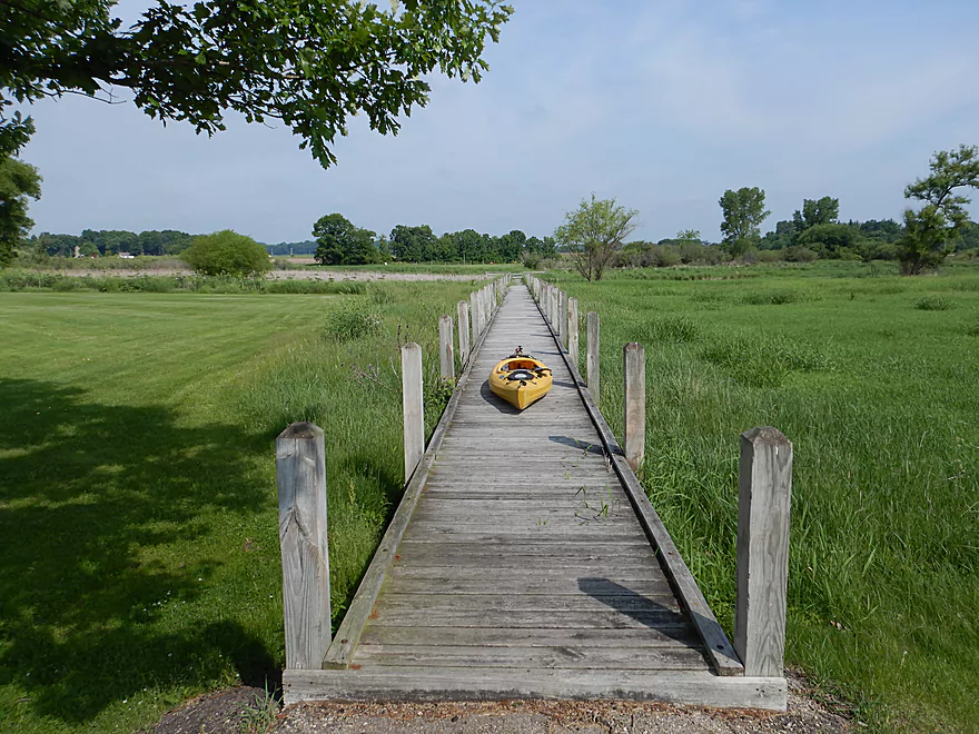
Nice boardwalk at Ripp Park
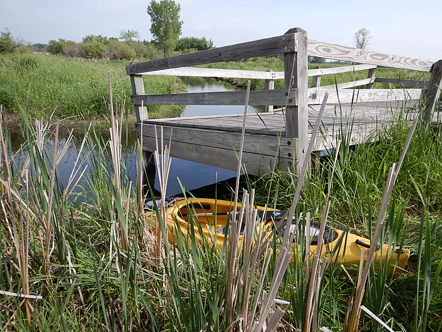
Launching at the end
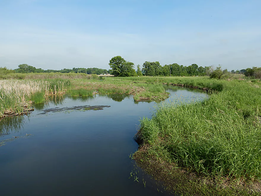
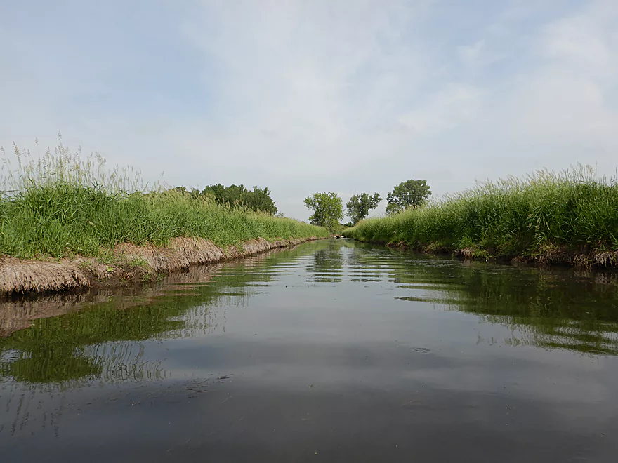
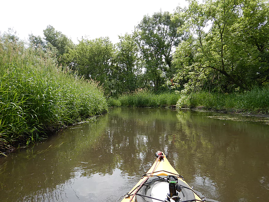
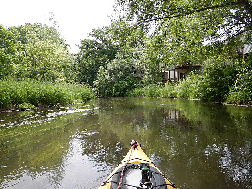
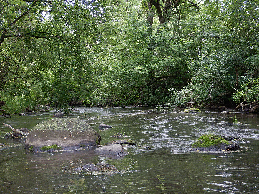
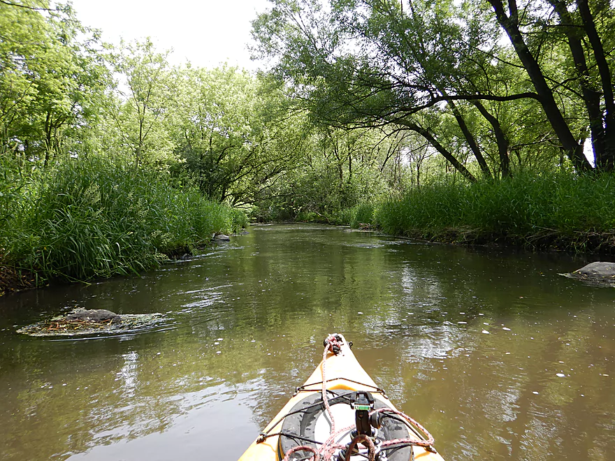
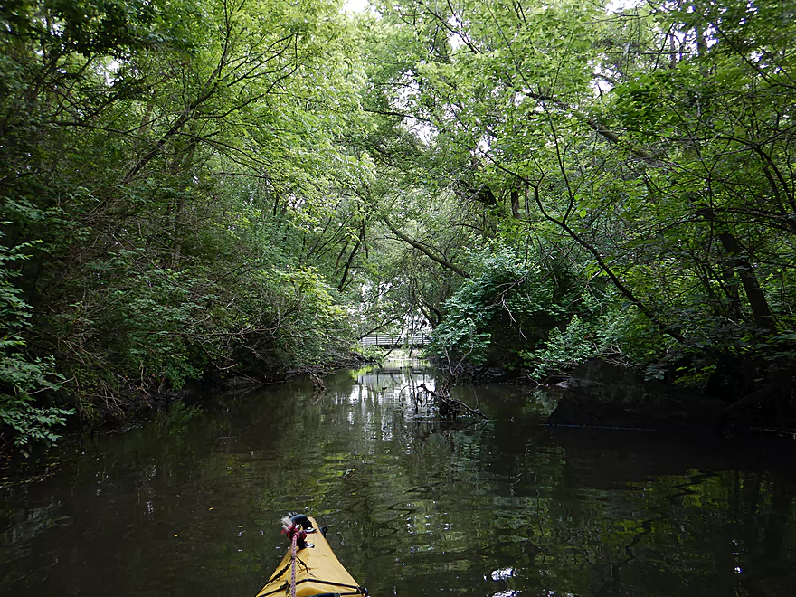
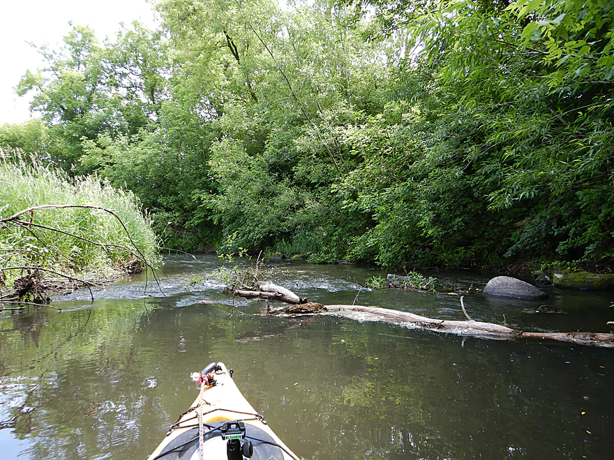
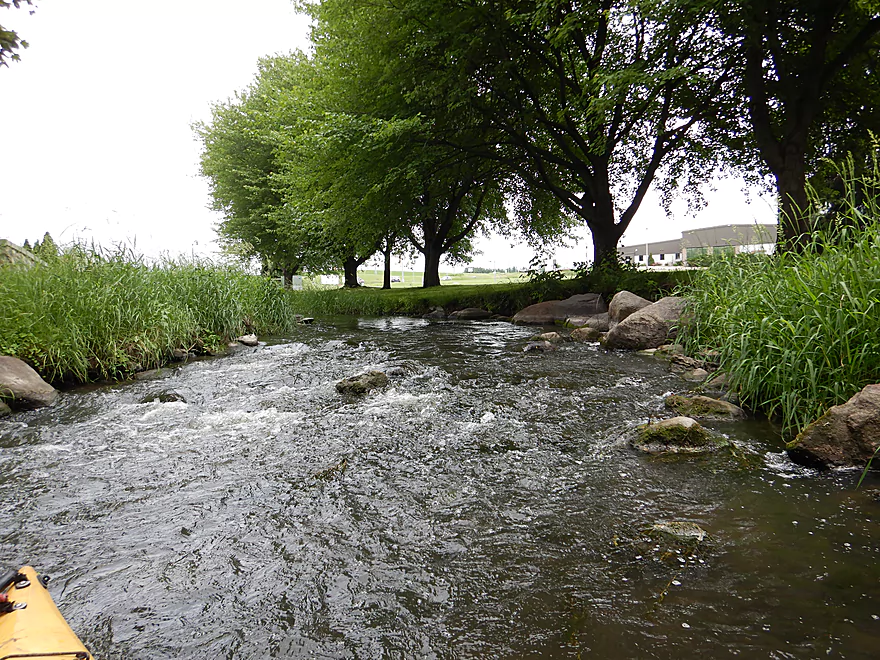
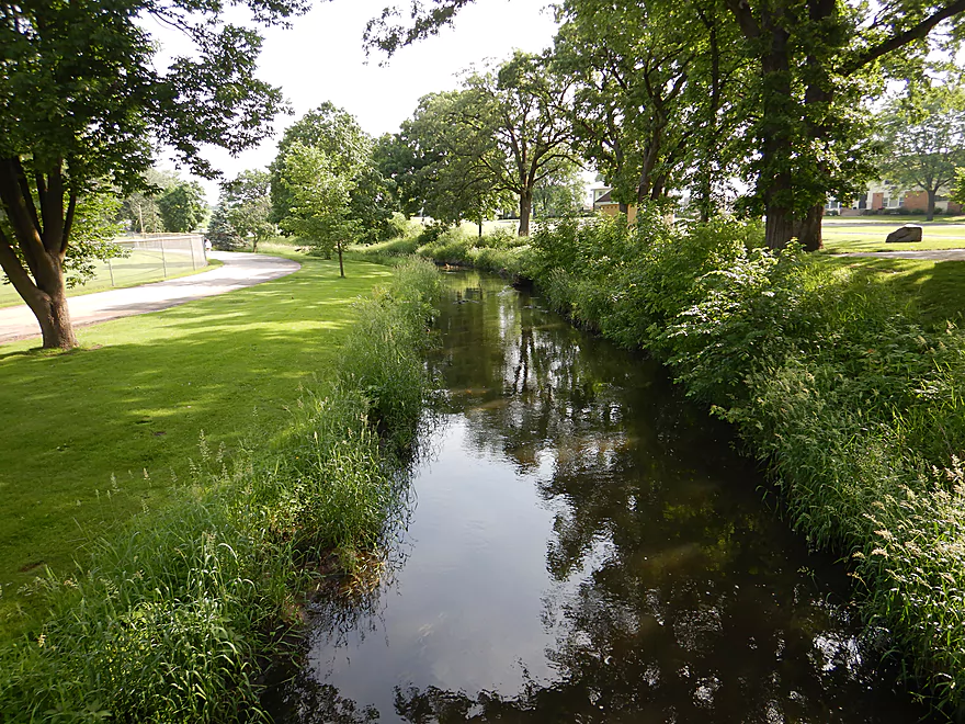
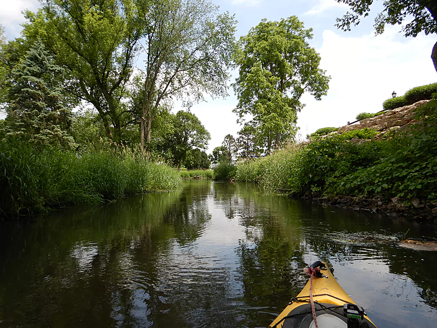
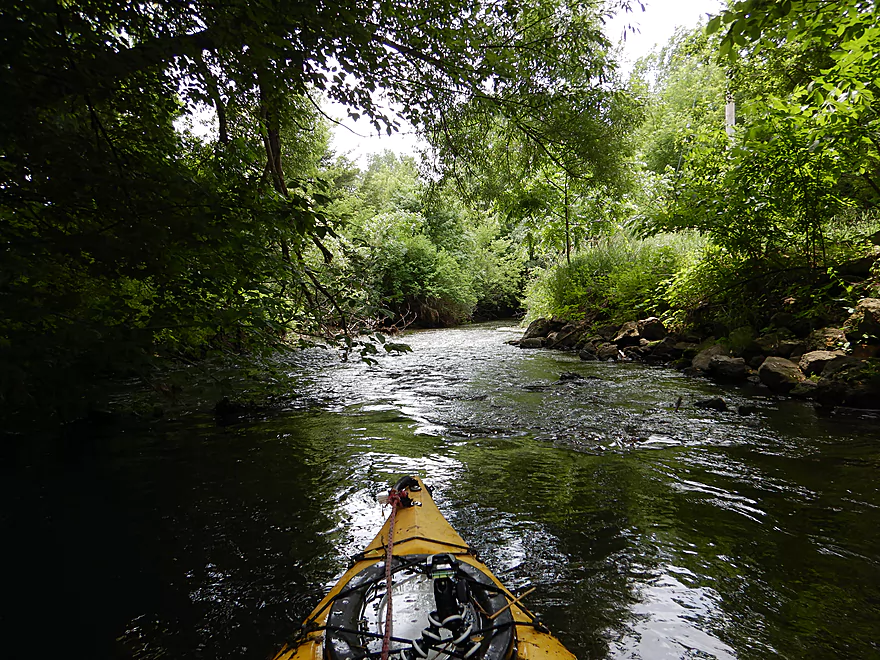
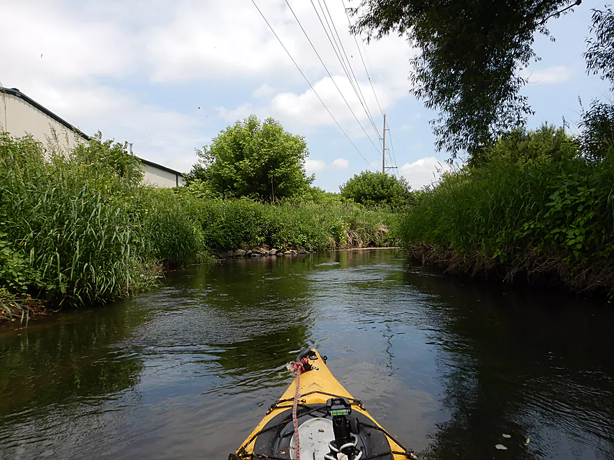
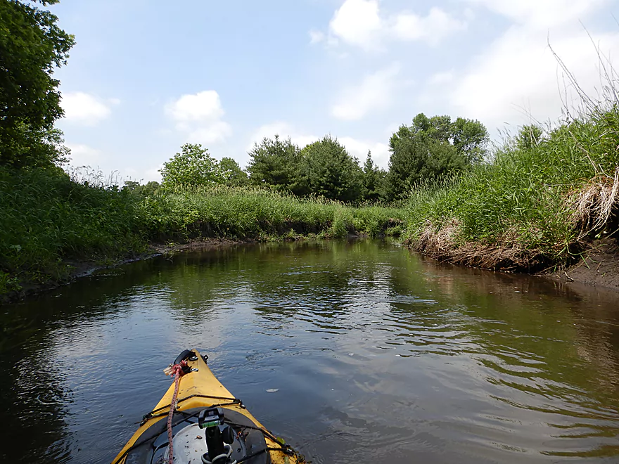
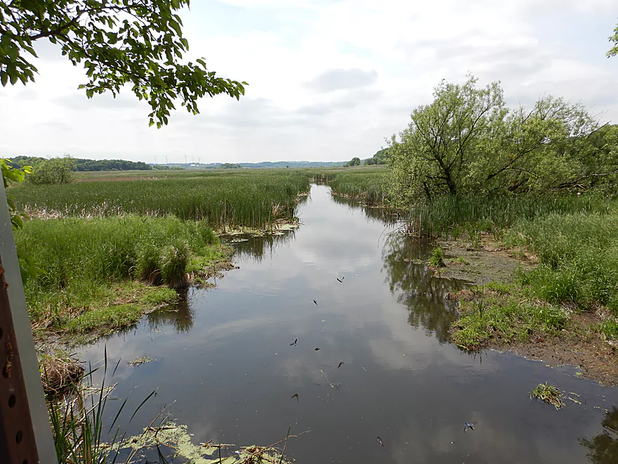
View upstream
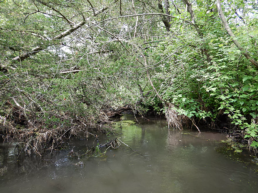
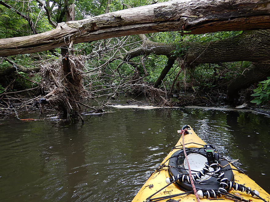
This is the tail-end of Waunakee Marsh
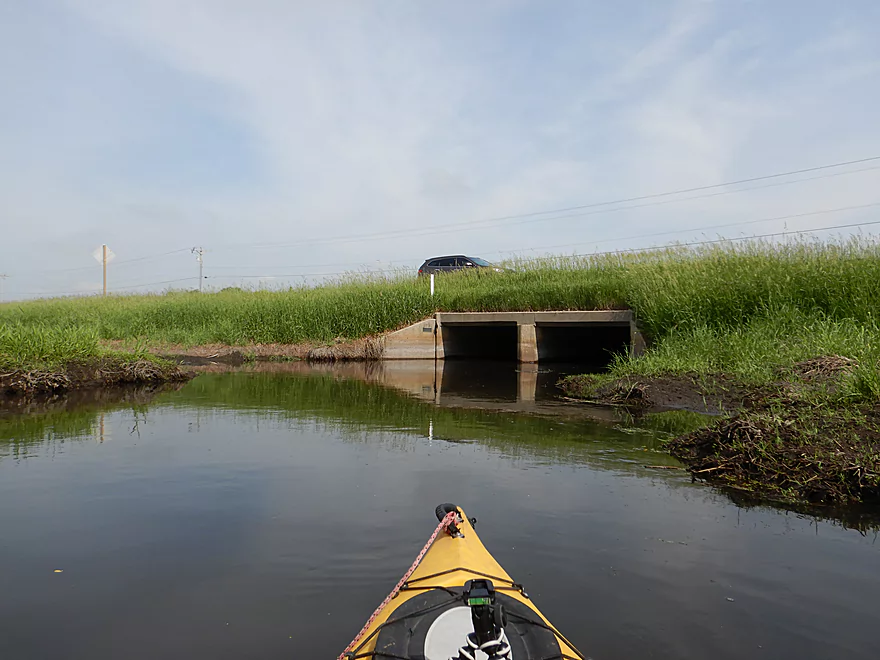
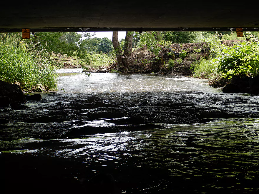
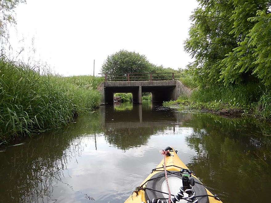
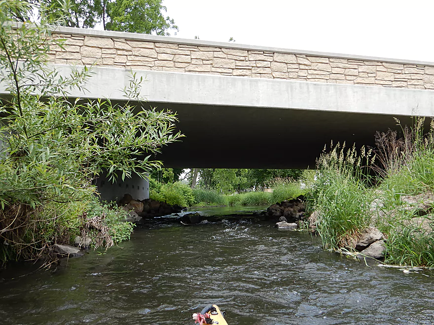
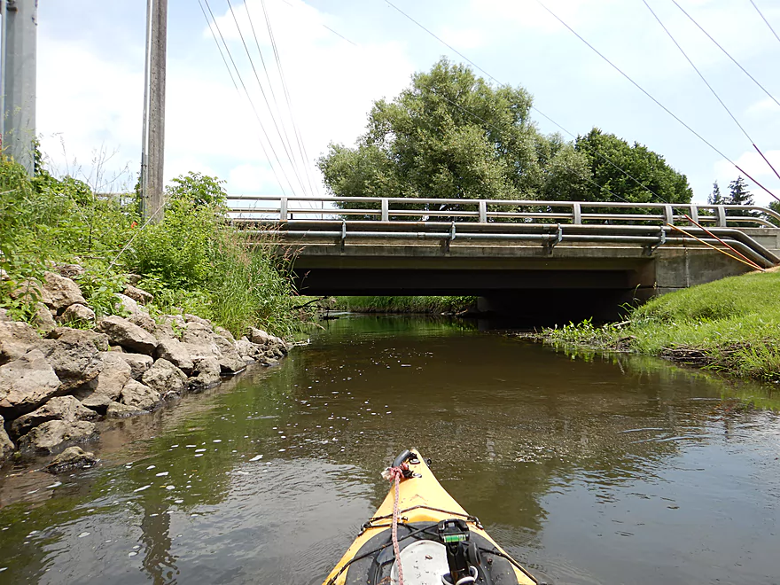
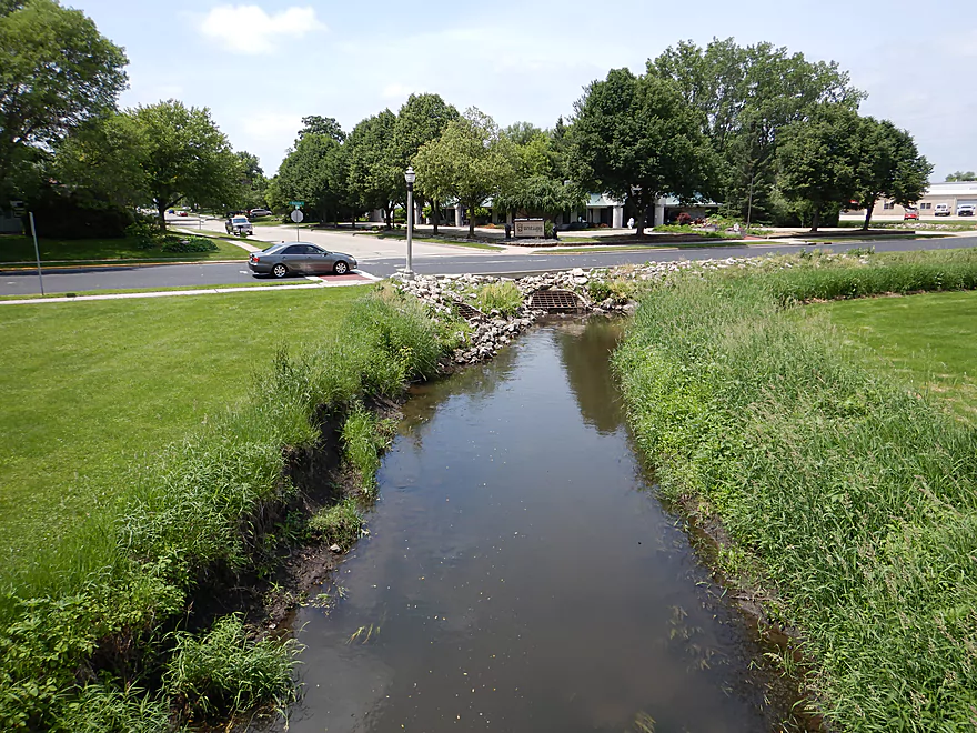
Busy Hwy 19
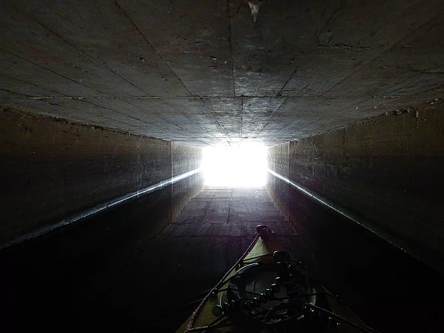
Engage warp
Disengage warp
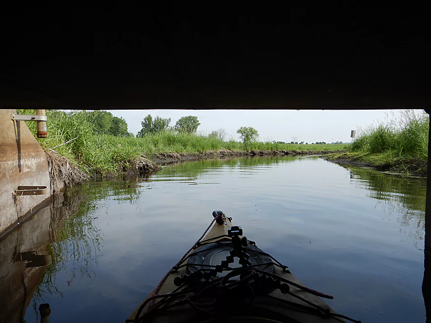
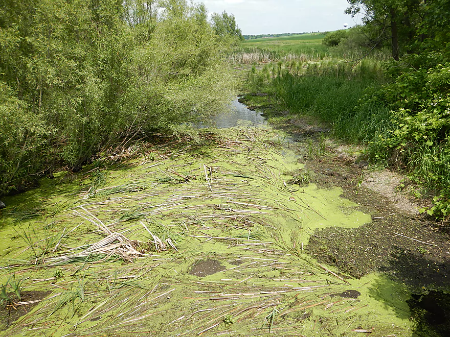
Bit muddy, but not bad
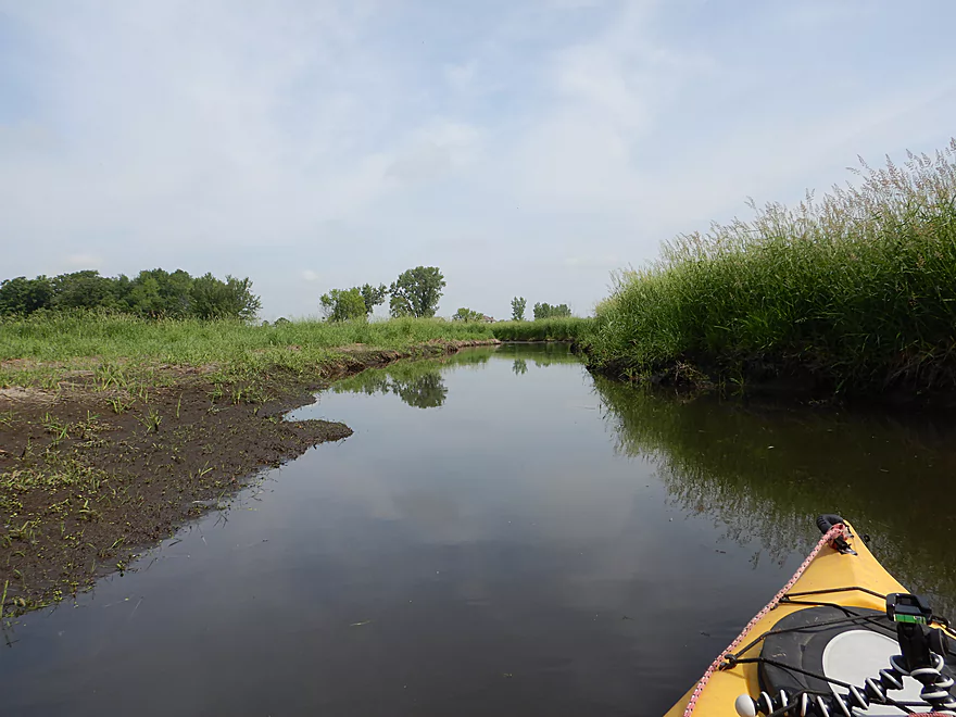
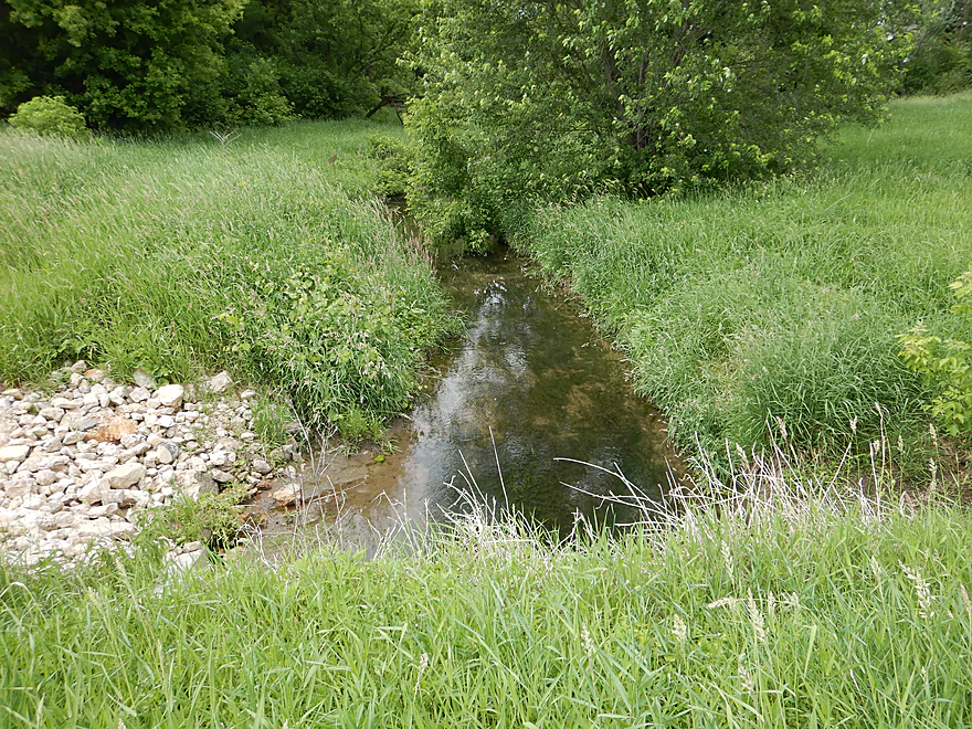
One of several tributaries
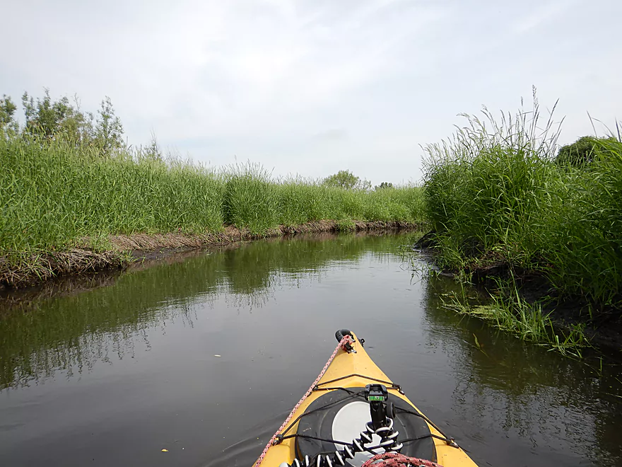
Very tall grass
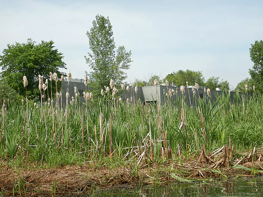
Hiding behind the cattails is a very noisy grocery store
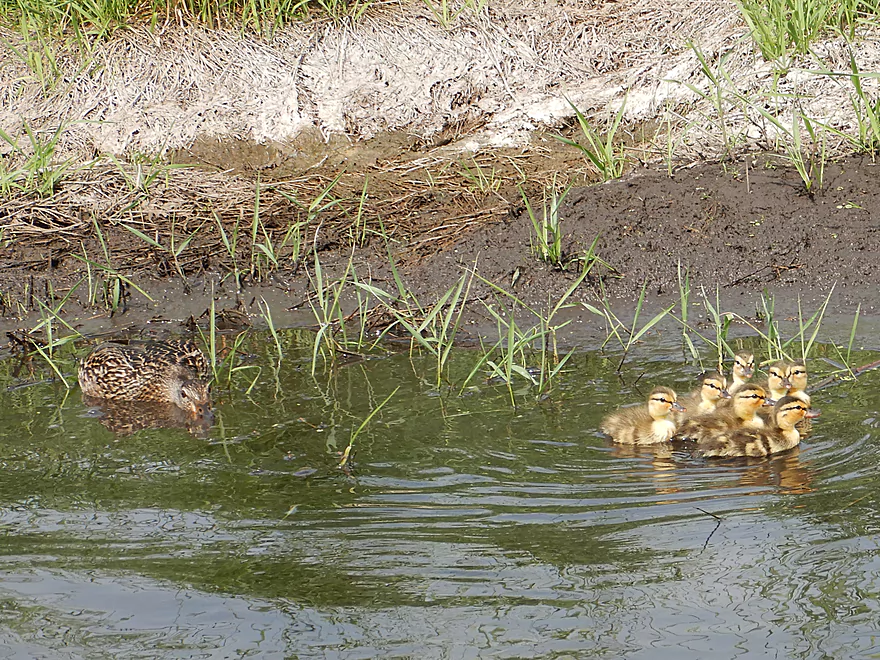
Mama duck trying to hide from me
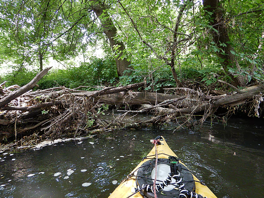
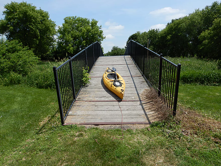
First portage of the trip…easy
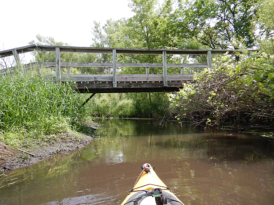
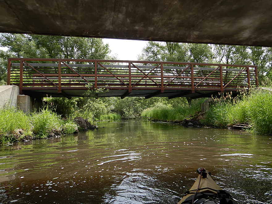
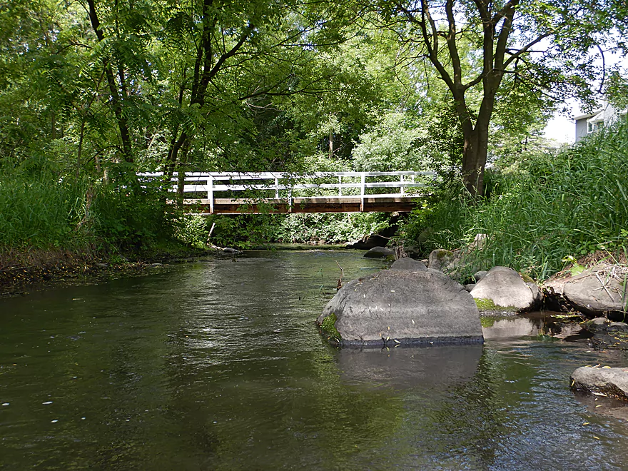
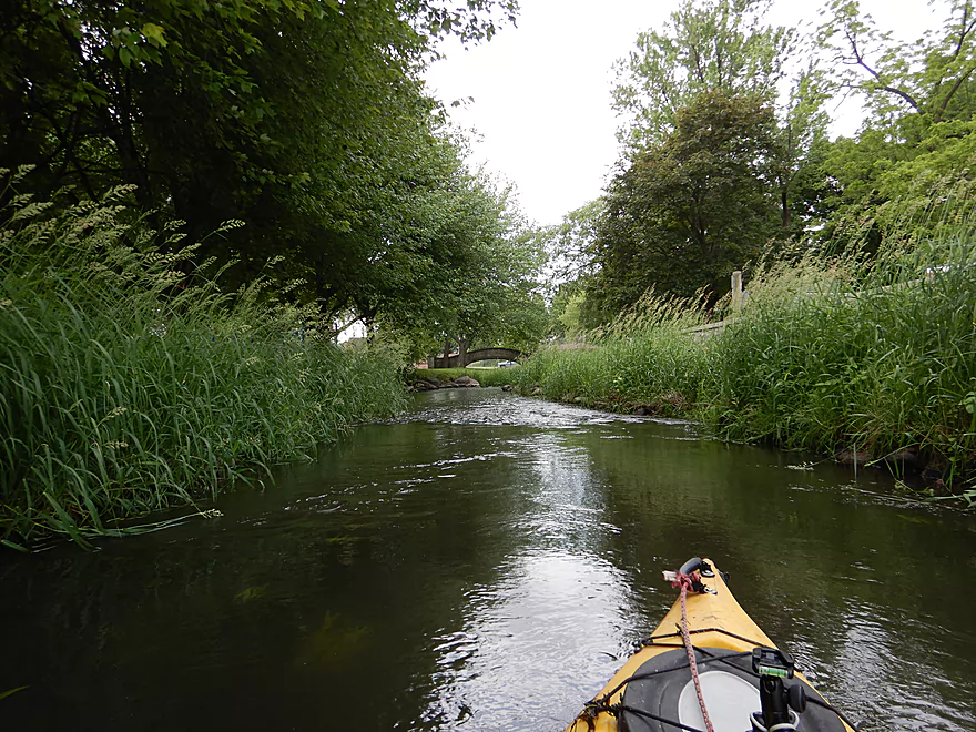
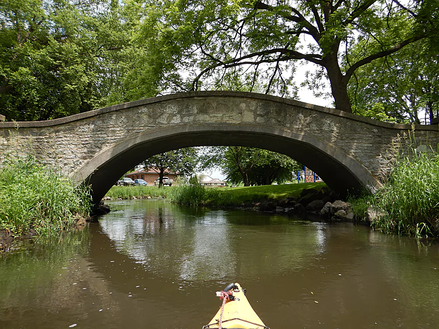
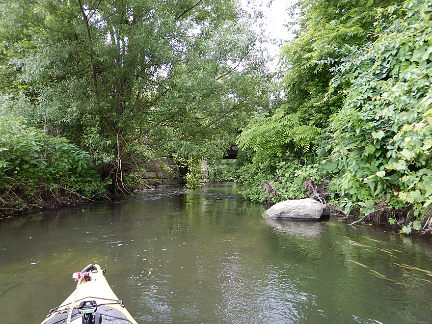
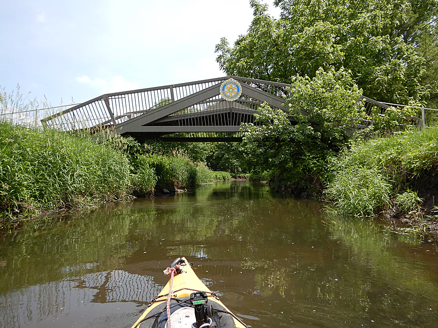
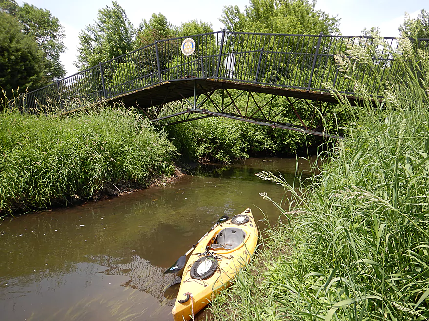
One of many pedestrian bridges
Hwy 113 might be an access option
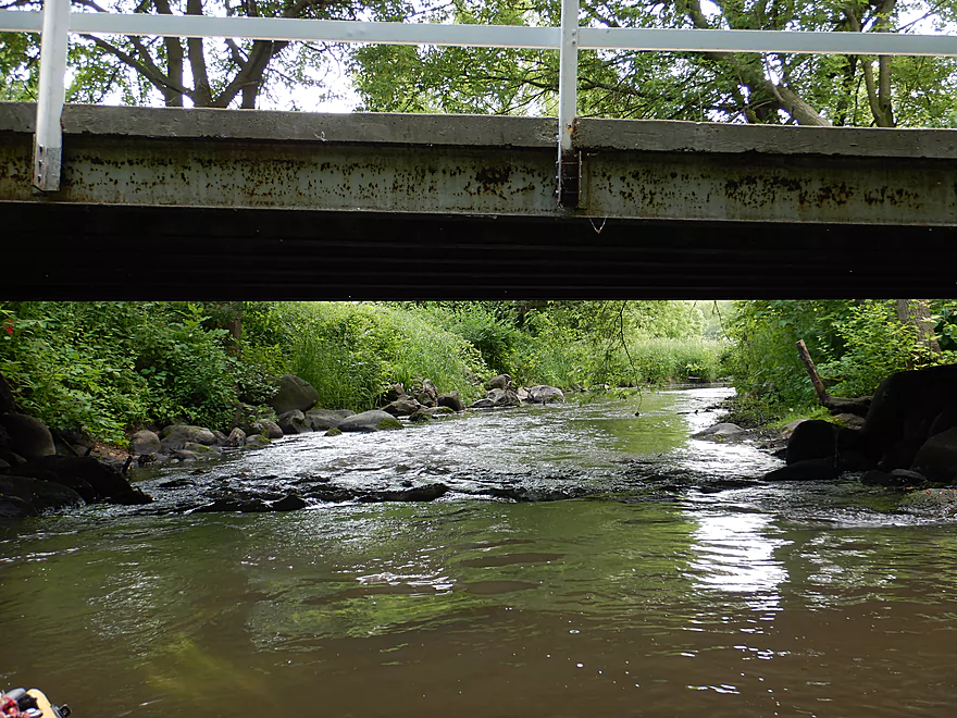
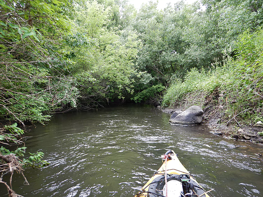
The creek changes character after Hwy 113
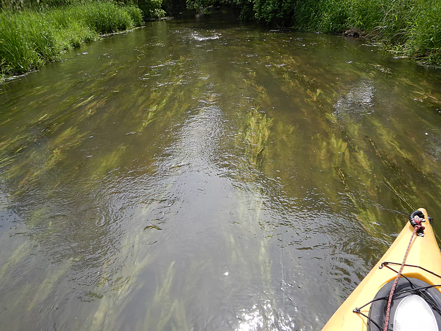
Flowing potamogeton
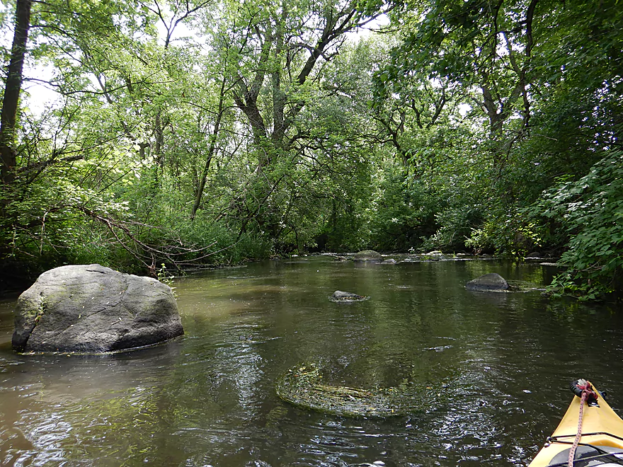
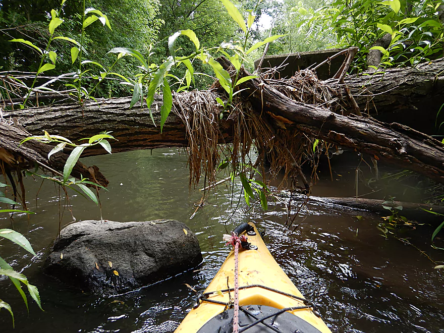
Coming up on a small boulder garden
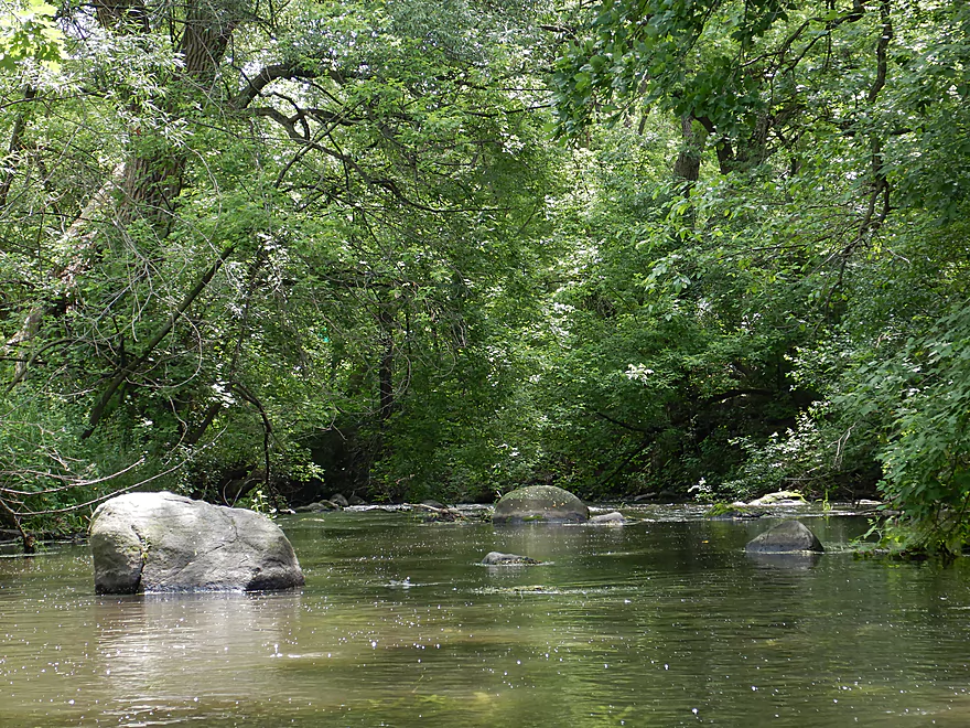
Really cool
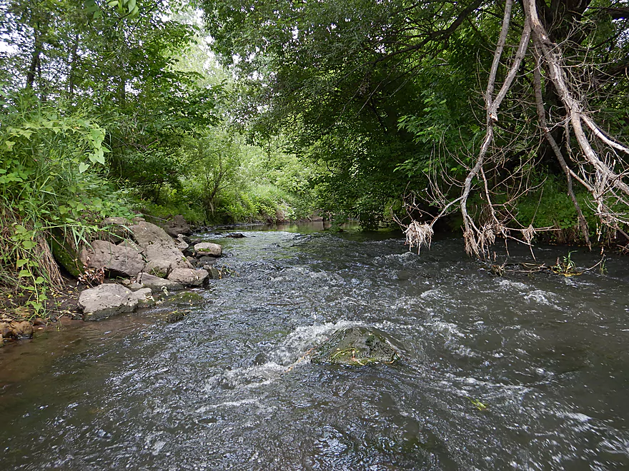
Accompanied by some light rapids
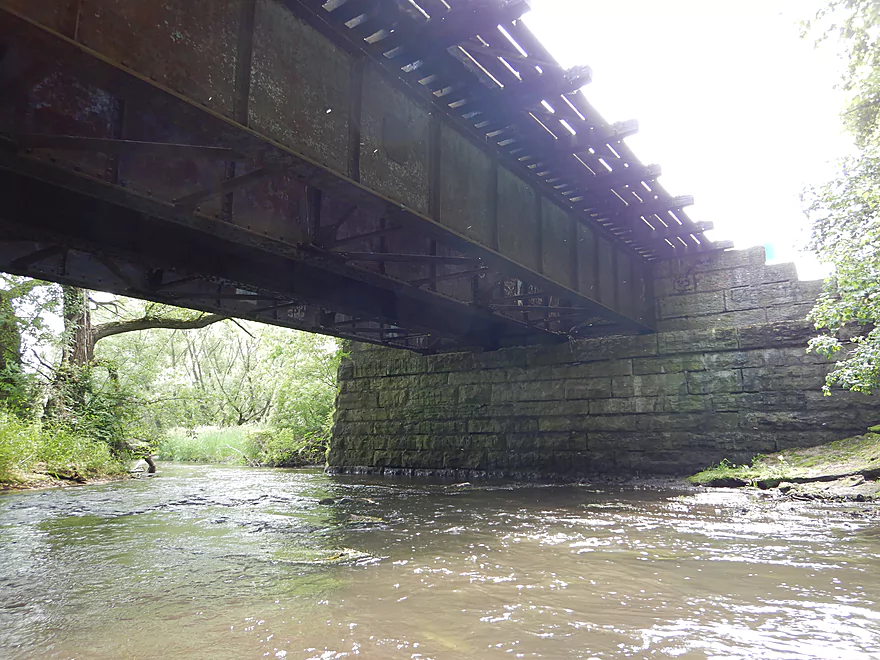
Paddling under the first railroad bridge
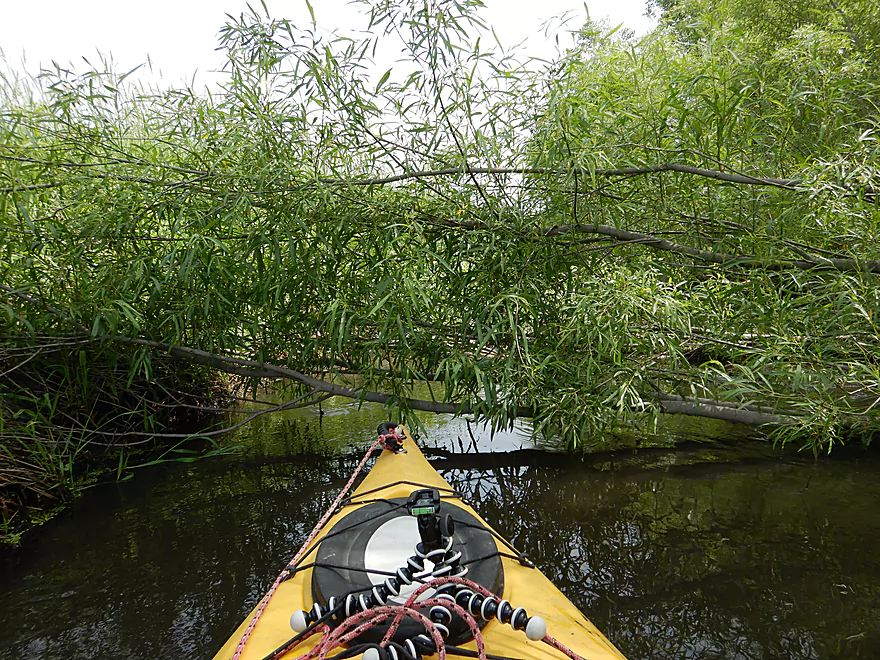
Some tree dodging is now required
This required a serious limbo
Otherwise a pleasant section
Coming up on Creekwoods Path
Very scenic
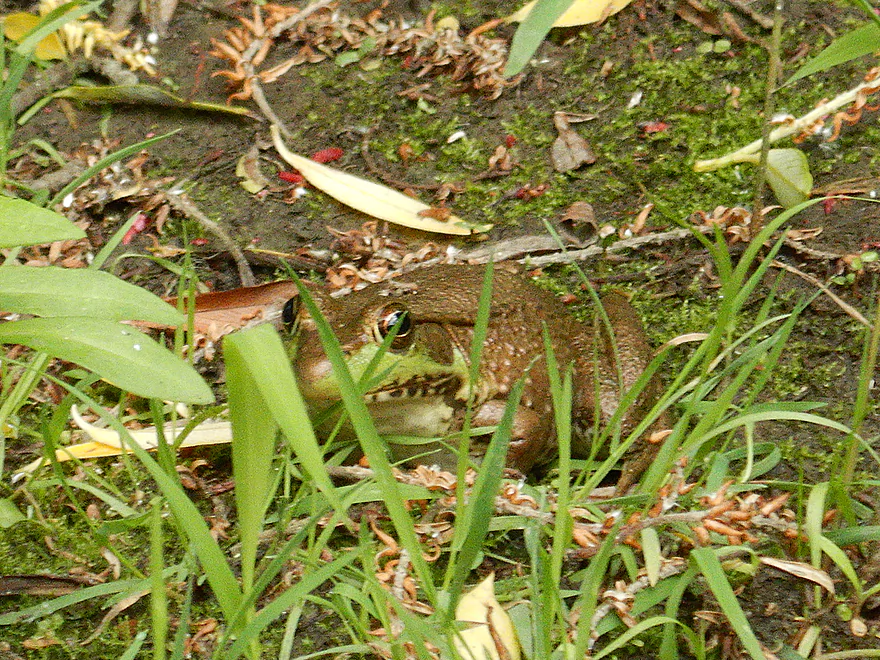
Being spied on by a green frog
Portage #2…I waded over the tree far right
Fantastic tree canopies
Fun rapids under Madison Street
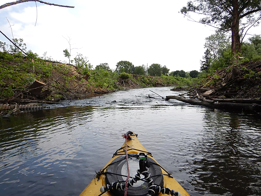
Erosion from a poorly managed development
Coming up on busy Hwy 113
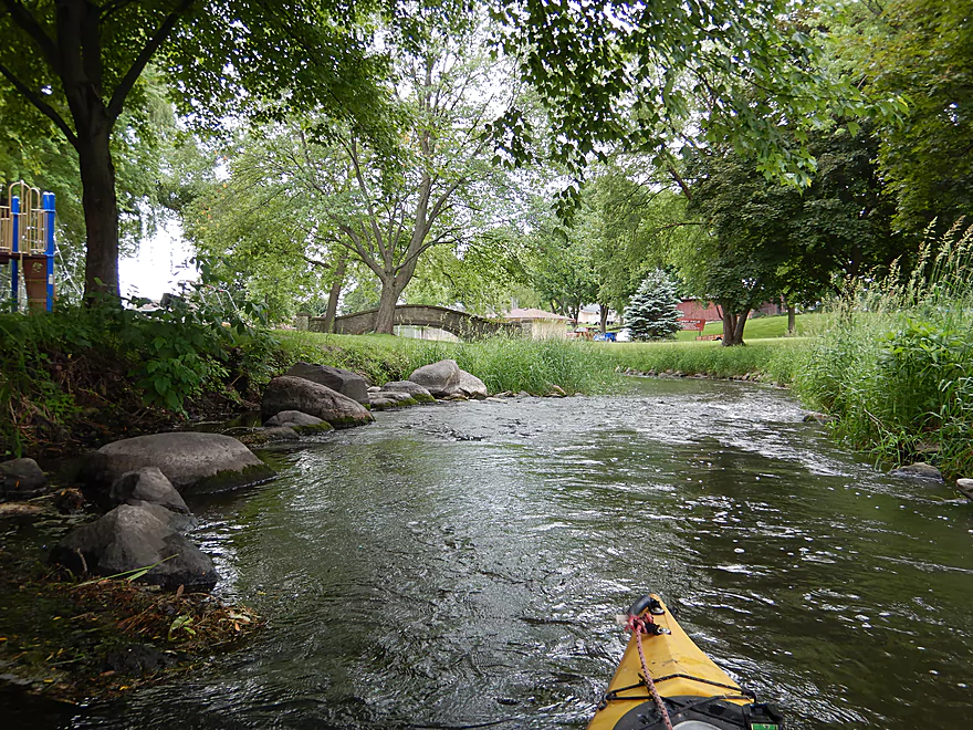
Start of Waunakee Village Park

Really cool section
Fun but shallow rapids
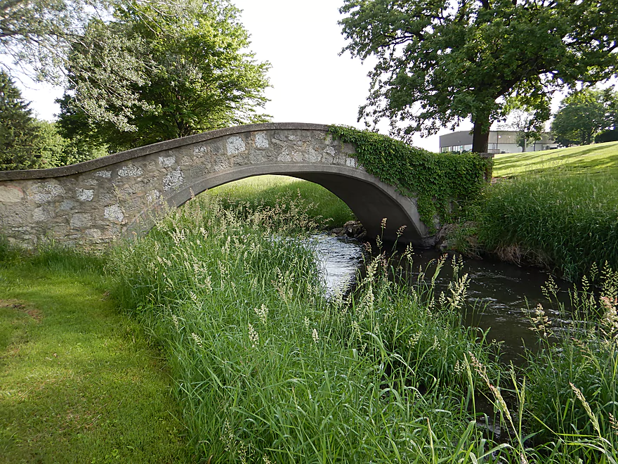
The first of three stone arch bridges
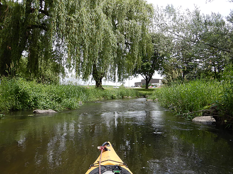
Great weeping willows
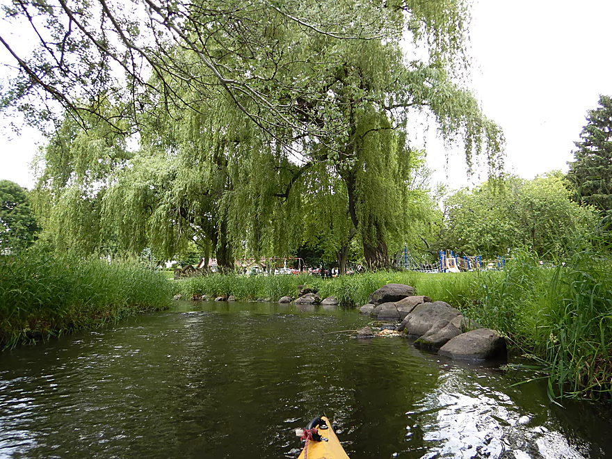
Reverse view
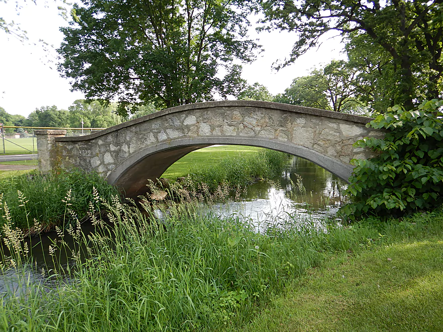
The second stone arch bridge
A very tidy part of the creek
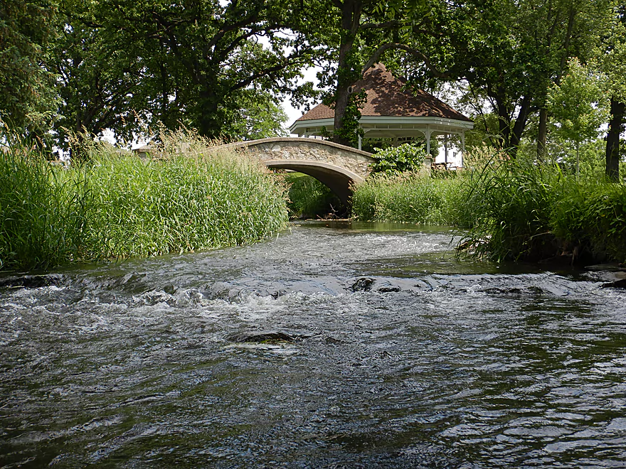
The third stone arch bridge
More rapids
This is the second Madison Street bridge
The woods return
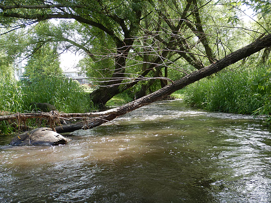
But so do the jams (I barely got under that)
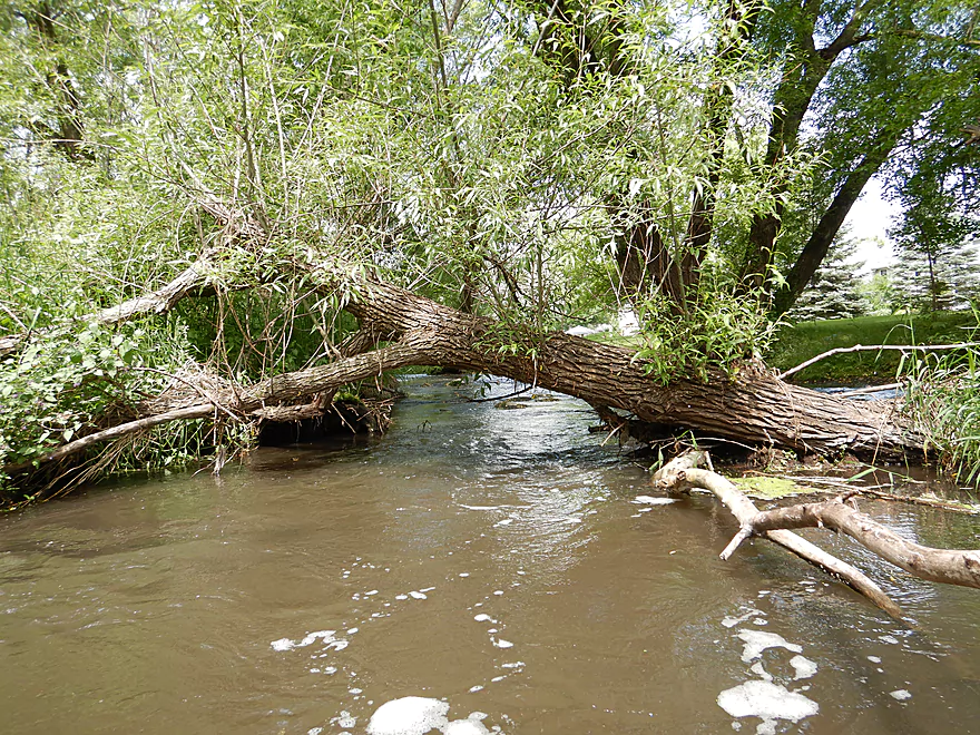
Another obstacle…half of those weeds ended up in my cockpit
The creek is still scenic
Reverse view of rapids
Entering a mysterious dark area
More tree dodging
The last of the rapids
Coming up on Division Street
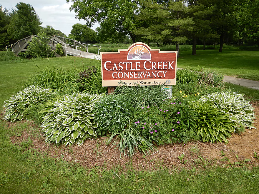
Now paddling through Castle Creek Conservancy
This was another open part of the creek
The first of several Conservancy trail bridges
Zipping around a huge oxbow
Taking out at the second trail bridge
Dragging my boat back to the car
Most paddlers will simply take out closer to Division Street
Good point!
Scouting Kingsley Road and Waunakee Marsh
Despite this cattail jam, I wished I had launched here
Scouting much further upstream on Hwy 19…nice, but likely a little narrow for paddling
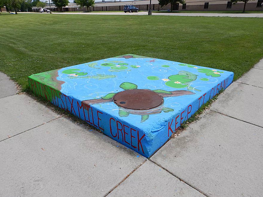
Six Mile Creek: Ripp Park


The trip started on a nice note at Ripp Park where a scenic boardwalk led to the main channel. Here were the last vestiges of Waunakee Marsh, which made for a pleasant and peaceful paddle despite the road noise from nearby Hwy 19.
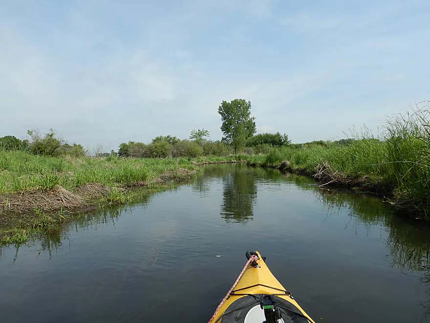
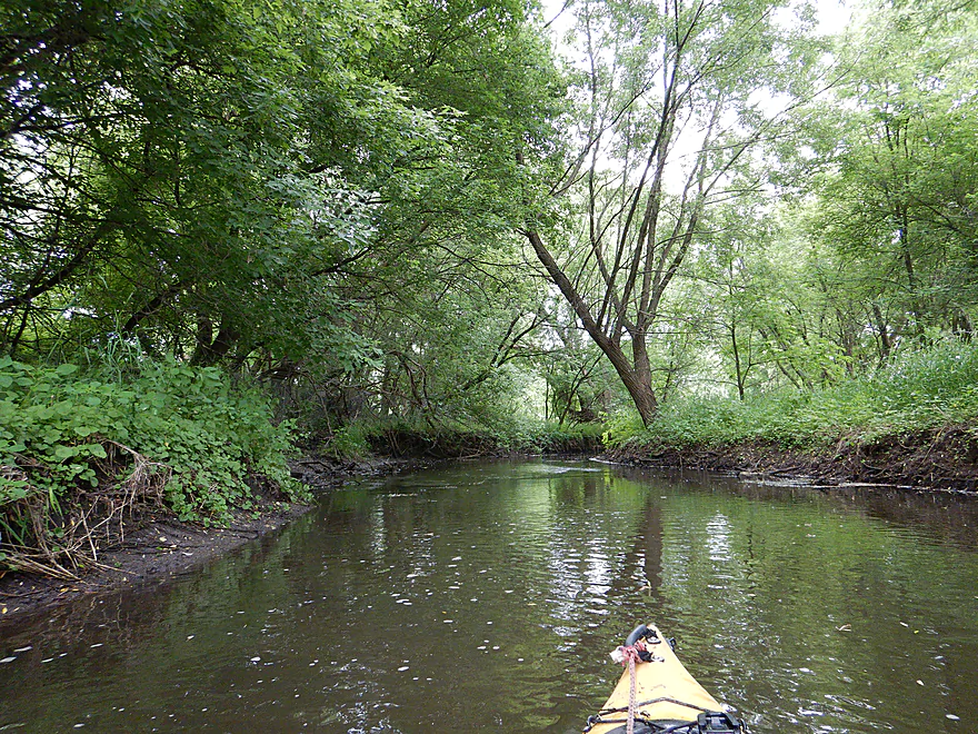
After Hwy 19 the creek started to aggressively meander and featured 5′ high grass making this seem like a maze. This was a muddier section of the creek and the scenery was a tad repetitive, but it wasn’t bad and it was here I saw most of my wildlife. Soon the highway noise dinned and was replaced by loud air conditioners from the local Piggly Wiggly. While this was mostly an open section, I did have to portage one logjam east of Piggly, but that was pretty easy
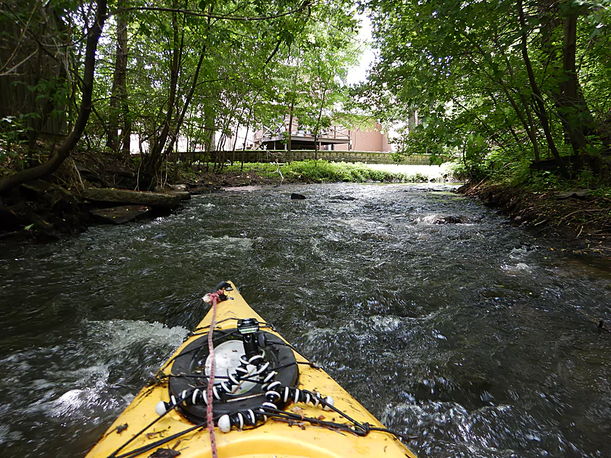
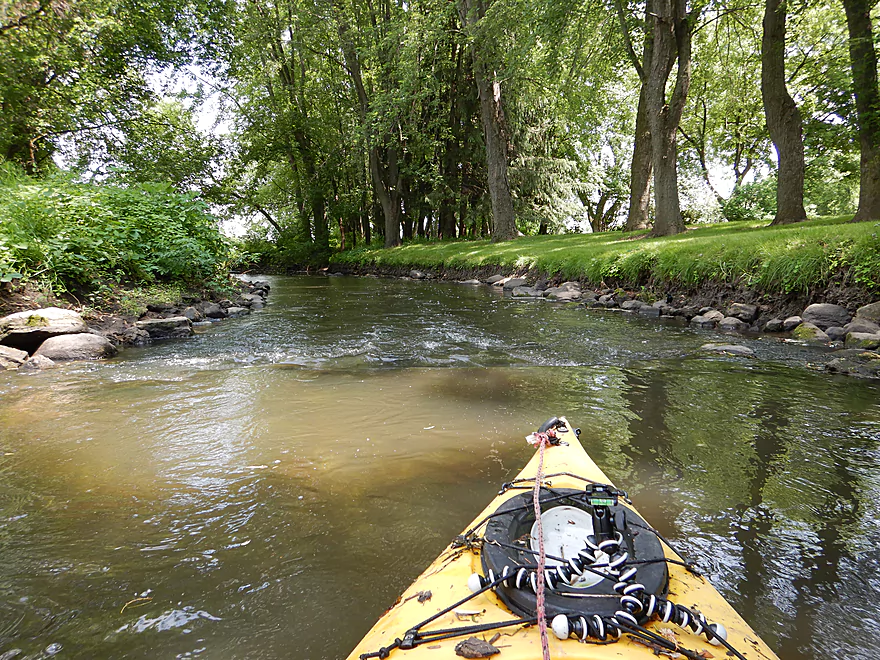
At Hwy 113, the creek stopped flowing north and took a sharp turn south. This marked a very interesting divide in the creek. Prior to, it was an open wetgrass paddle with some marsh elements. But after Hwy 113, the creek became much more wooded, rockier, shallower, and faster.
The highlight of the trip came just prior to the first railroad bridge. Following a section with gracefully flowing potamogetan, the channel narrowed sharply resulting in some surprising rapids and a scenic boulder garden.
From the railroad to Madison Street(1st bridge) was a wooded section with many light rapids and great scenery, but I did have to portage one logjam here. From Madison Street to Main Street, houses and development started to replace the trees, but this was still an ok section.
After Main Street, I got to paddle through Waunakee Village Park which was one of my favorite parts of the trip. The creek here had a very tidy feel with little mud and quite a bit of artificial rip-rap. The highlights of the park were its many light rapids and three scenic stone arch bridges. There were many bridges on my trip…in fact I counted 17!
Following Madison Street(2nd bridge), the trees returned and with a vengeance. I faced a few logjams including three difficult and messy limbos. It was still a nice part of the creek and featured one last set of scenic rapids.
The trip ended after Division Street in the Castle Creek Conservancy, which is another open part of the creek. Here I led my boat over the local trail system to my car parked on Division Street. I really wished I had been able to paddle to Mill Road, but I didn’t see any good parking options there. Beyond Mill Road, satellite view shows the creek has just too many logjams.
In summary this was a surprisingly nice and varied paddle. There are a few logjams to deal with, but you can eliminate a few if you plan your route accordingly.
I started the trip at Ripp Park which was a decent access with public parking and restrooms. The only downside was having to drag my boat 600′ along a park boardwalk to reach the water (easier than it sounds as kayaks glide over boardwalks).
An alternate upstream put-in would be Kingsley Road which would add 1.2 miles to the trip. There is a nice pull-off by the road and accessing the water shouldn’t be difficult, although there is mat of dead cattails that would have to be snowplowed through to reach the main channel. The rest of the leg should be a nice open marsh paddle with maybe one logjam. I wished I had launched here instead of Ripp Park.
I took out at Castle Creek Conservancy where is it not difficult to disembark by one of the pedestrian bridges and then drag your boat to Division Street where you can park. I chose the second pedestrian bridge to add a little length to the trip, which was a bit weedy but plenty doable. I suspect most paddlers would prefer the first bridge where is an easier take-out because of the adjacent rocks.
An alternate upstream take-out would be Waunakee Village Park which would shave 0.7 miles off the trip as well as a few logjams. At the park you could take out at the north end which is easy to do and close to parking. However, by taking out so early you miss paddling much of the park which was a neat experience. You could possibly take out at the south end of the park by Madison Street(2nd bridge). You can’t park by the bridge, but you could pick up your boat using an access road by the baseball diamond and leave your car at the Village Center parking lot.
Another alternate upstream take-out might be Village Center Pond. I forgot to scout this, but it is right next to the creek and just upstream of several logjams, so could be promising.
The bike shuttle was super easy…a short 1.6 mile trip through the heart of Waunakee with no hills. Century Ave was annoying to cross, but otherwise traffic isn’t anything to worry about. A hiking shuttle would have been viable.
Prior to Hwy 113 the creek was a bit slow, but afterwords was pretty quick with many riffles and a few Class 1 rapids (nothing fierce).
There were a few logjams, but I actually only portaged twice the entire trip. Some of the strainers and squeakers were also difficult to circumnavigate. Definitely not a creek for big boats.
- The first logjam was maybe a half mile west of Hwy 113 and an easy portage.
- The second logjam was upstream of Madison Street(1st bridge). That was a medium difficult portage…not too bad if you are willing to lead your boat over the log.
- There were roughly three logjams between Village Center Pond and Division Street. I was able to limbo all three, but two were tight fits. The portages here would be doable as the banks are somewhat shallow.
I did the trip at an above average depth (2.81′ per a local gauge). Upstream of Hwy 113, the creek was deep and averaged maybe two feet. But downstream the creek become much more shallow. For the most part that wasn’t a problem, but I did ground out on several of the rapids and Waunakee Village Park was pretty shallow. Below is a very rough depth guide:
- 0-3′: Too shallow.
- 3.01′-3.5′: Likely a good target range.
- 3.5’+: Maybe too high? If you know more, let me know.
One muskrat building his house, a large carp that thumped my boat, some clams, several softshells doing awkward bellyflops off the rocks, many frogs, and countless insect exuviae on the rocks. The highlight was likely the many baby ducks and geese I saw on the marsh portion of the trip.
Detailed Overview
- Hwy 19 Culvert to Kingsley Road: 3.4 miles. An interesting prospect through the Waunakee Marsh with clear water. The first half mile is extremely narrow and may need very high water to be viable. Maybe 1-2 logjams.
- Kingsley Road to Ripp Park: 1.2 miles. Likely a nice marsh paddle with maybe 1-2 logjams. There is a mat of dead cattails to circumnavigate at Kingsly Road, otherwise this seems like an ok access.
- Ripp Park to Castle Creek Conservancy: 3.8 miles. A varied paddle with marsh, boulder gardens, rapids, urban parks, and dense woods. Very nice, but a few logjams.
- Ripp Park to Hwy 113: 1.8 miles. An open paddle through a grassy corridor with lazy current. One logjam, but an easy portage. Hwy 113 is a busy road, but access might be possible by parking north of the bridge and launching between the road and the trail bridges.
- Hwy 113 to Waunakee Village Park (North): 1.0 mile. A wooded section with some boulder gardens and rapids. Neat part of the creek. Most logjams should be cleared out by now.
- Waunakee Village Park (North) to Waunakee Village Park (South): 0.3 miles. A tidy part of the creek that flows though the park. Highlights are a few rapids and several stone arch bridges. The south end of the park doesn’t have a parking lot…so disembark by Madison Street(2nd bridge) and drag your boat north to 3rd Street to load up your car. Long-term parking is available by the Village Center. Creek here is shallow.
- Waunakee Village Park (South) to Castle Creek Conservancy: 0.7 miles. A densely wooded section that is scenic but shallow and should only be run in high water. There is a nice set of rapids just upstream of Division Street. I suspect Village Center Pond might be a take-out option.
- Castle Creek Conservancy to Woodland Drive: 3.9 miles. Scenic stretch with a lot of potential. But there are significant logjams (which are being cleaned out). This leg is rocky and can only be run in high water.
- Woodland Drive to Governor Nelson State Park Boat Ramp: 4.2 miles. Recently cleared out by Capitol Water Trails this is a nice section with a mixture of marsh and woodlands.
Trip Map
Overview Map
Video
Photos Size:
I am a 60 year old non-swimmer (not comfortable in water, would panic if I fell into water over my head, although I have canoed in my younger days while wearing a PFD. I have access to an inexpensive kayak (blow-molded polyethylene, think Menard’s). As I live close to Six Mile Creek, is it safe for a non-swimmer, again wearing a PFD, to paddle on any portions of the Six Mile Creek? Are there any spots that I should avoid? Or is it just not safe for a non-swimmer to be in a kayak anywhere?
Hi Mike…that is a good question. As a non-swimmer, you might stay off the more congested sections (downstream of 113). But really any section you do will have deeper pools and possible logjams. My suggestion as a beginner would be to simply do another creek until you are more comfortable dealing with logjams and other surprises creeks can toss at you. Black Earth Creek (Olson to Mazo) might be a better starter prospect as that section is kept clear of hazards.
ALL HAIL WRT.COM!
We just ran this same trip at about 4.3′ on the Hwy 19 gage, and the bridge was utterly impassible. Well, unless you wanted to lie down in your boat, helpless, and hope you emerged at the other end! On the other hand we had very few groundings that weren’t due to poor route selection. The marsh contained several flocks of jump-scare ducks and even a big one of Canadas that left several hundred square meters of white down atop the water when they boogied. We didn’t have to limbo or portage a single tree; by the Piggly Wiggly there was one 30-meter section of extremely thick weeds backed up behind some downed wood in which it was very difficult to move. Water quite clear, sand & gravel bottom for most of the trip. Take-out just before Division Street bridge was excellent, though the bottom there was so soft we just hoisted our keisters onto the bank.
That’s unfortunate news…hopefully that gets cleared out in the future. Thanks for the update.
I took Aaron’s suggestion and put in at Kingsley Road. DON’T do it! There’s a nasty debris dam with 20 yards of putrifying cattails behind it 10 minutes from the put-in. The nettles-infested portage is lumpy and no fun. Your reward for all this? More marsh paddling and sweet noise from Hwy. 19. The put-in at Ripp Park is a relative dream.
I extended Aaron’s route to Mill Road — it continues what you just ran and it’s worth it, but ONLY IF the USGS gage is at at least 20 cfs. Otherwise you’re bumping your way downstream. There is in fact legal street parking on Mill Road.
If you’re jonesin’ for Six Mile Creek, do a round trip on the other section described here; start at Woodland Drive, paddle to County M and return.
Thanks Denny for the update. It’s too bad to hear about Kingsley Road. I wonder if it is better at high levels. Mill Road though is good news. I know a local group is working on cleaning out the creek there and they should have this to Woodland Drive cleared later this summer.