
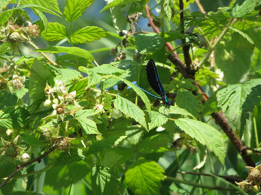
Emerald Jewelwing
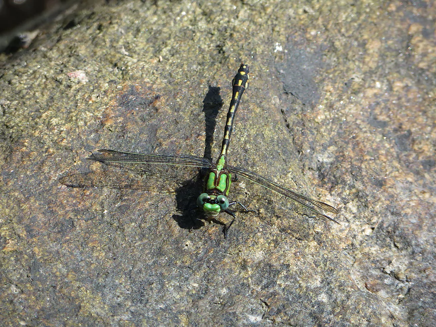
Clubtail dragonfly
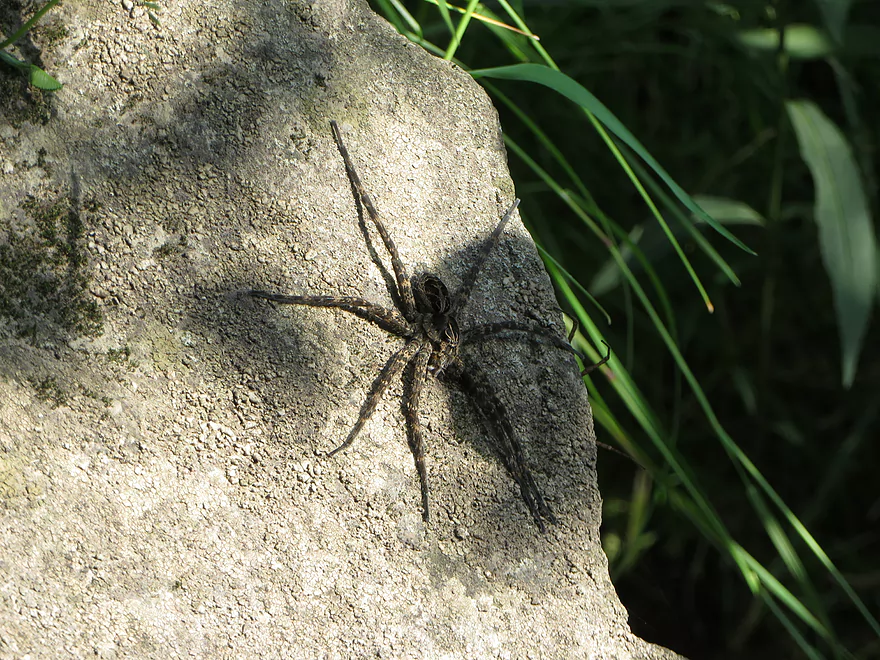
Huge fishing spider!
I can’t believe nobody will pick up a poor hitchhiker. I guess I will just sulk in the woods…
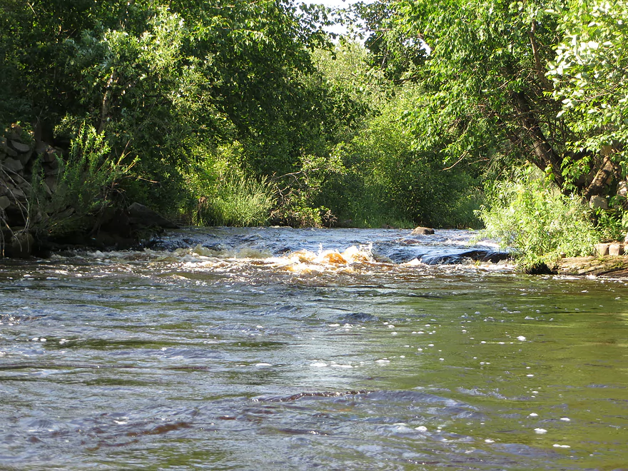
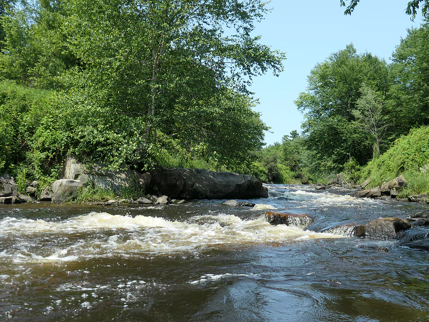
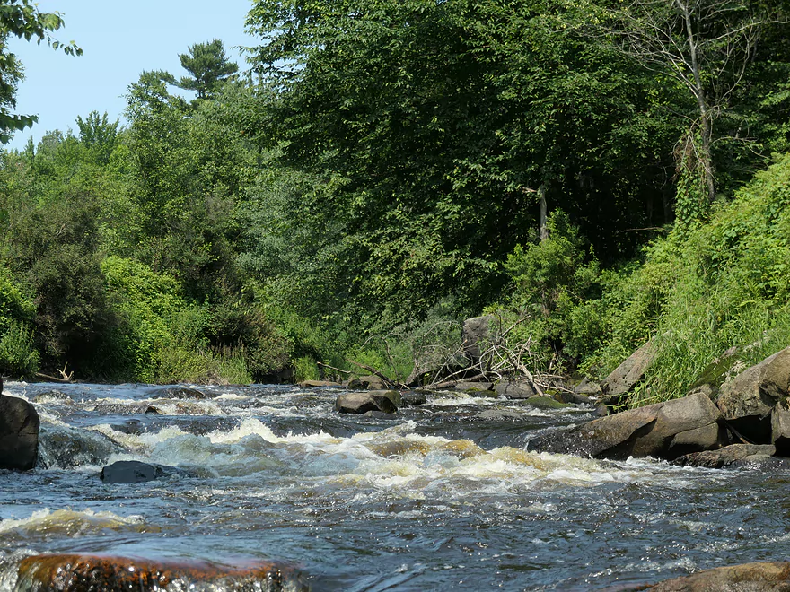
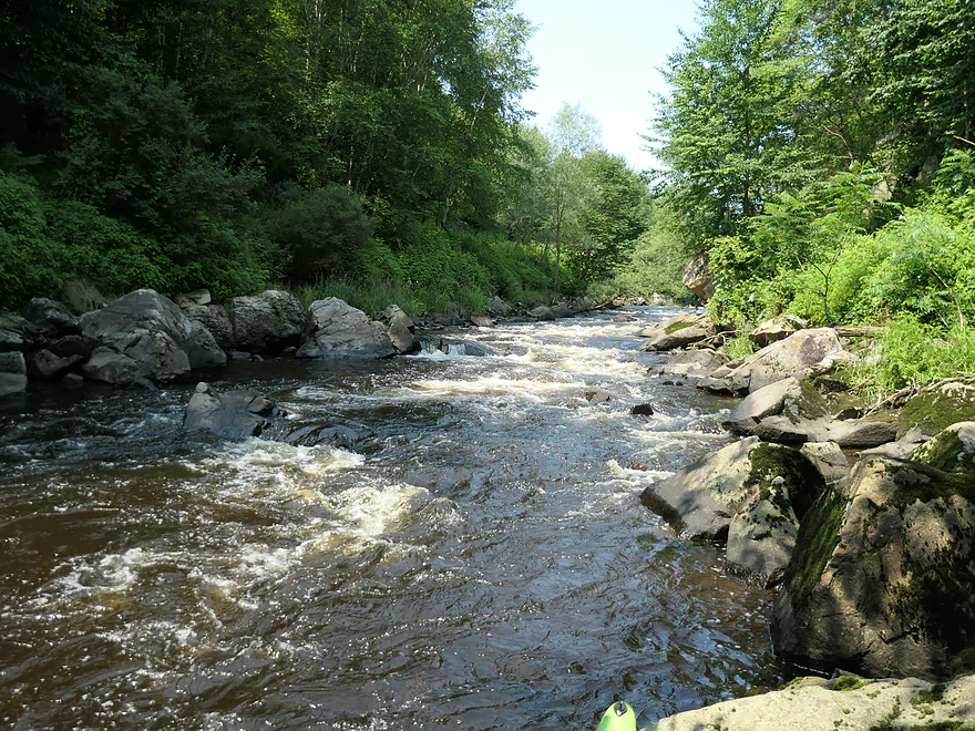
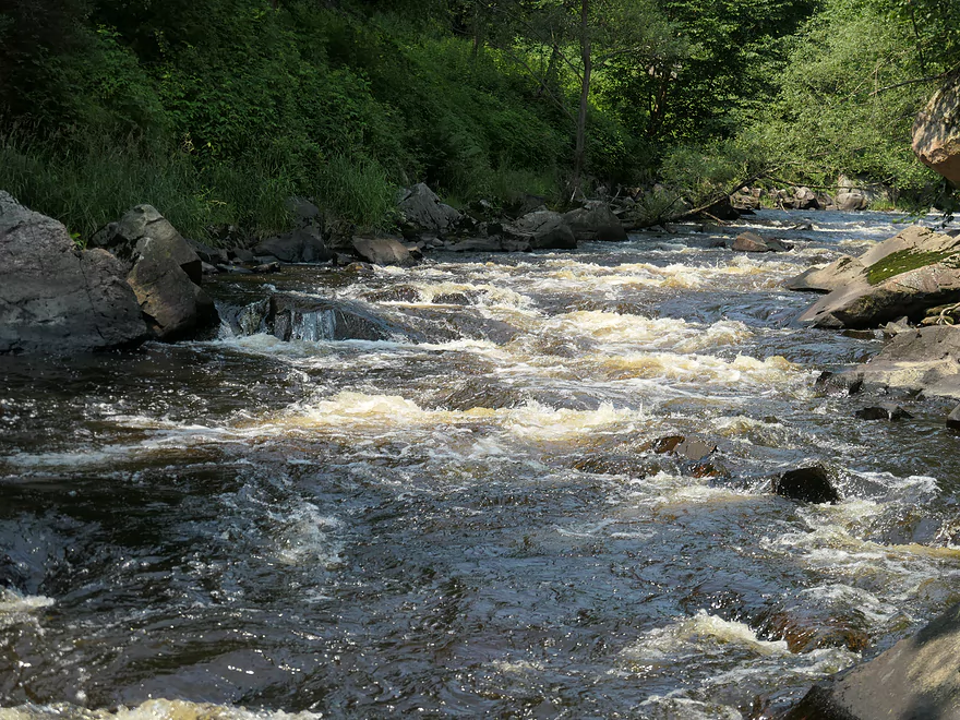
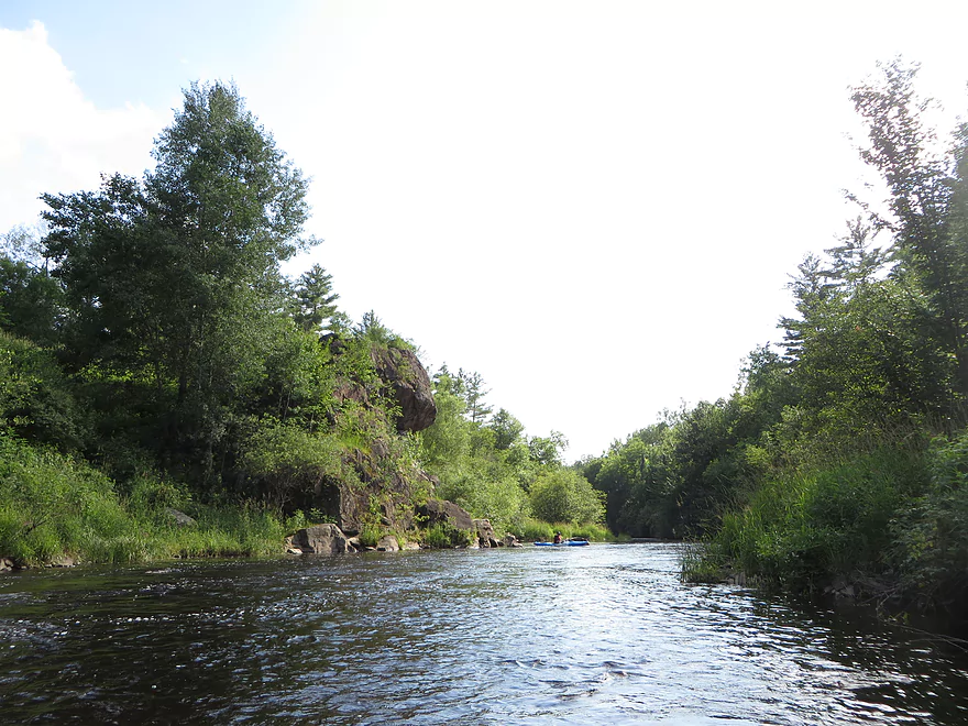
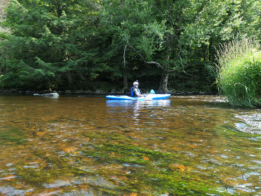
Prairie River

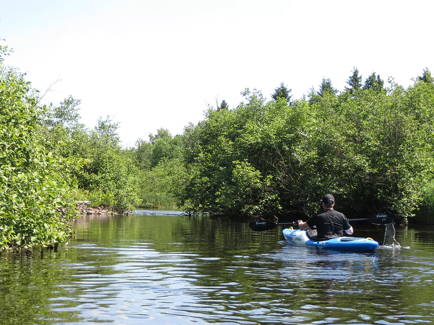
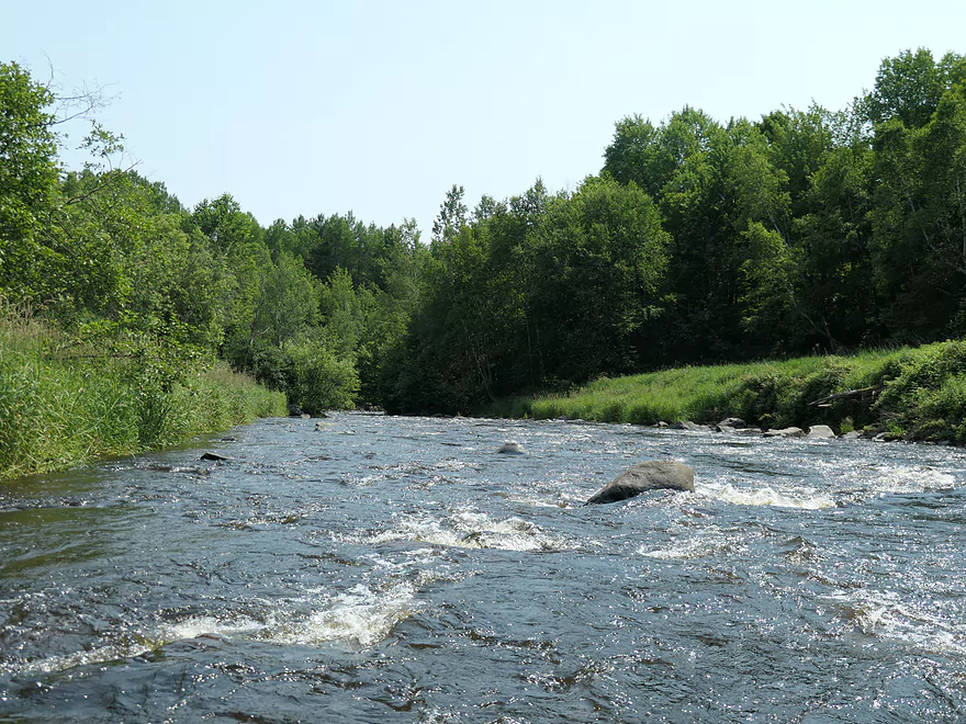
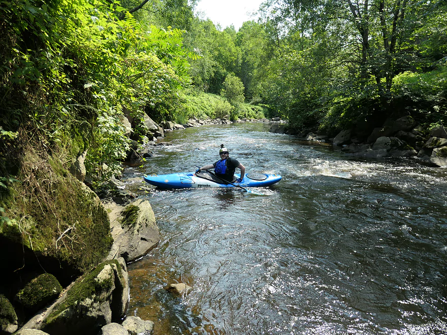
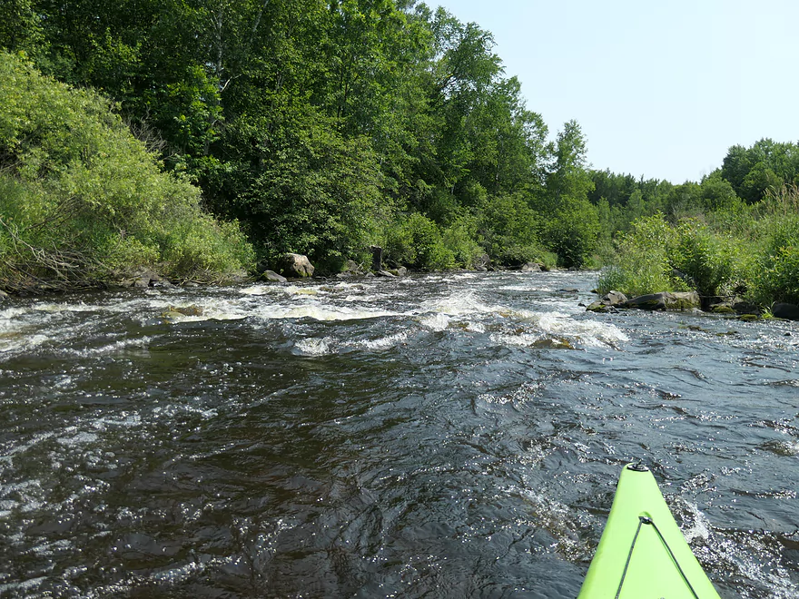
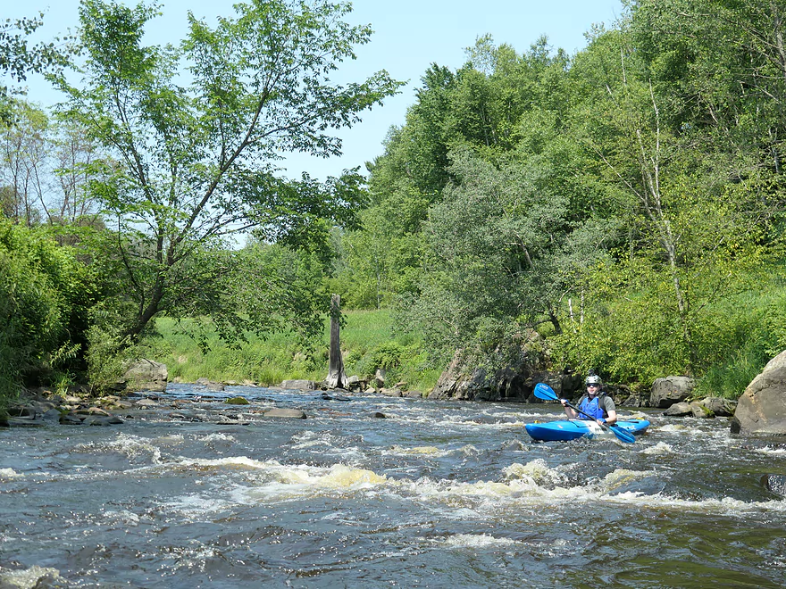
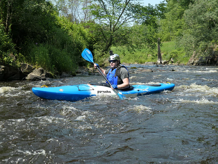
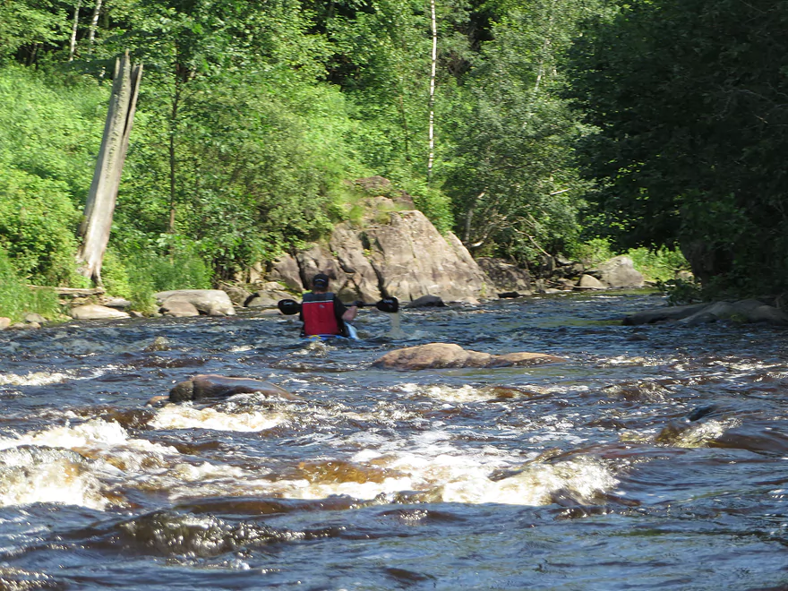
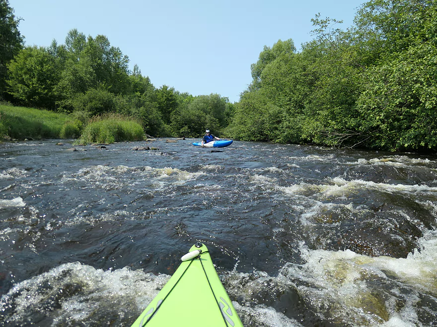
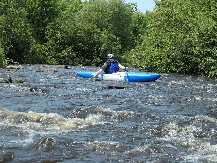
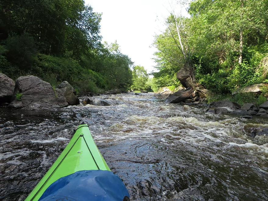
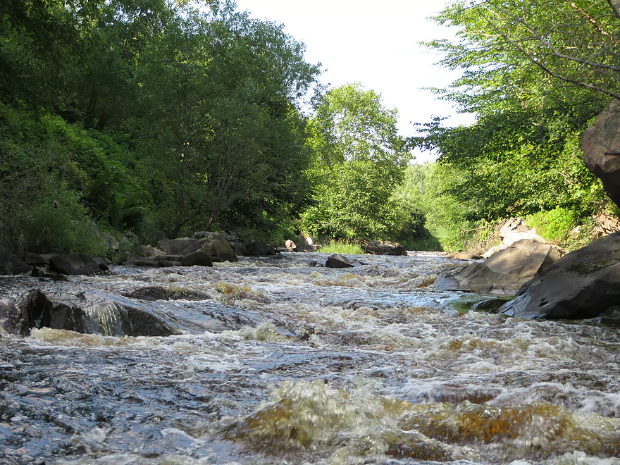
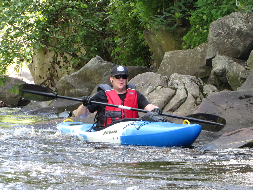
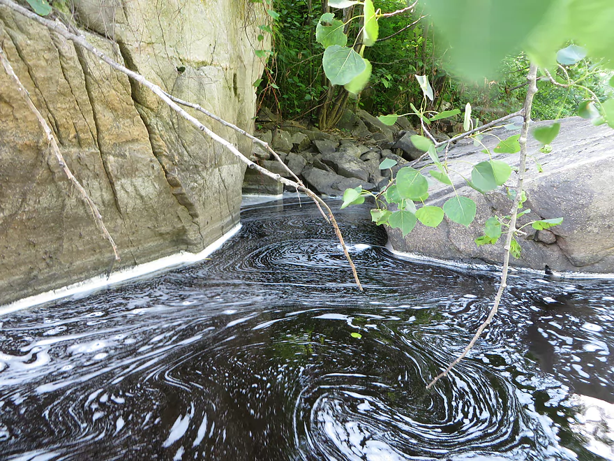
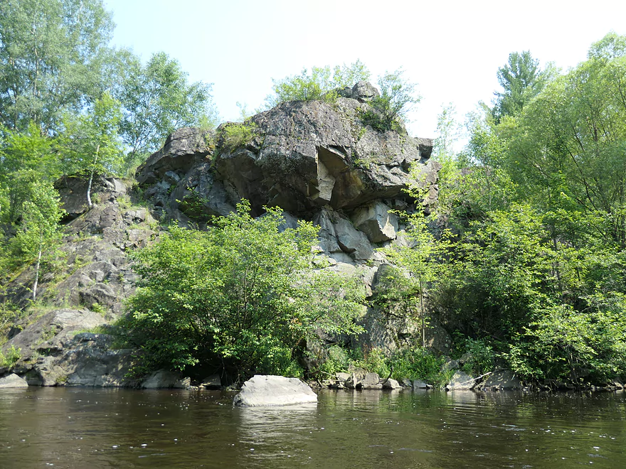
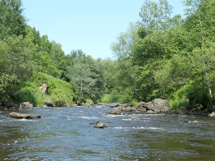
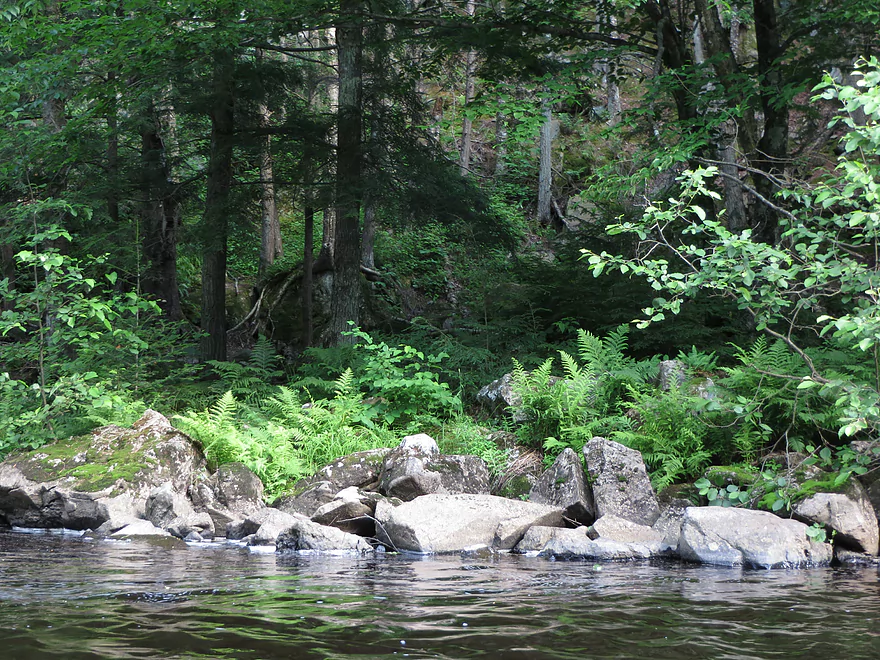
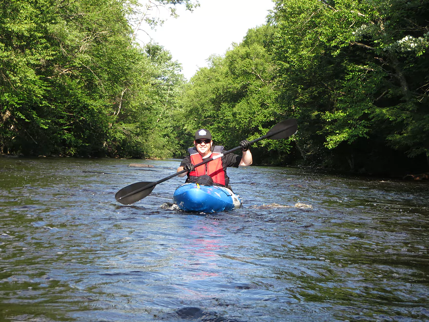
We did the Prairie River from Heineman Rd. to the public access at the end of Prairie Road. This stretch is only a few miles northeast of Merrill, in north central Wisconsin. The Prairie River proved to be a typical northern Wisconsin small river, with cool, clean, root beer-colored water that moved along at a moderate clip. The highlight of the trip was a long stretch of rapids through scenic, rocky dells, for which the river is known.
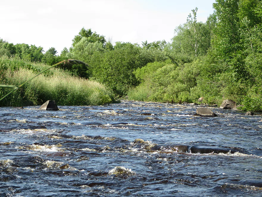
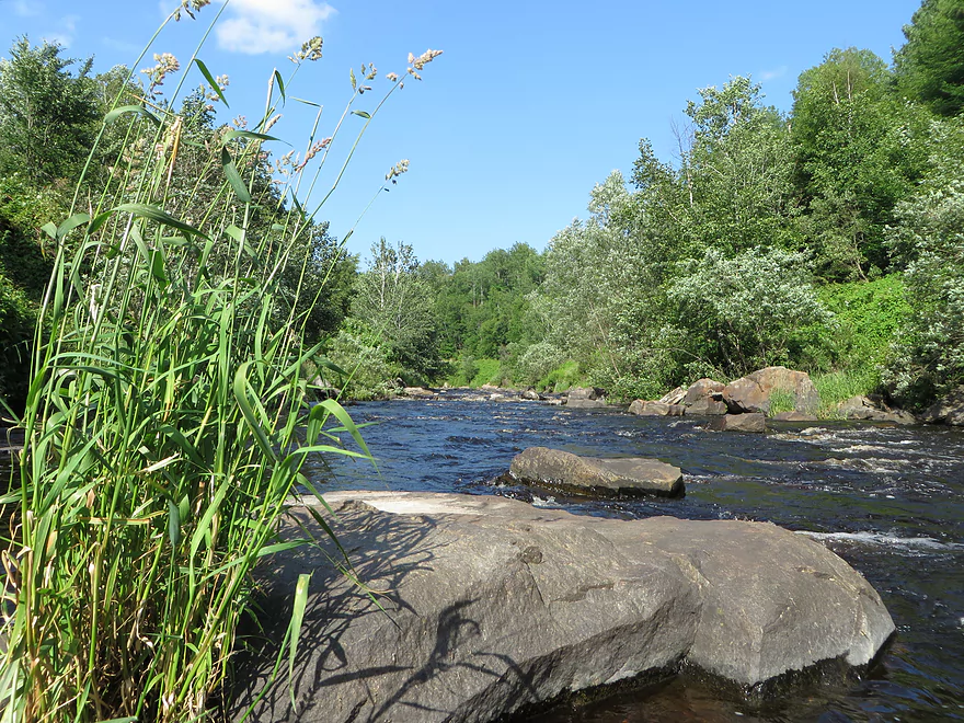
The route was largely forested, with grass and overhanging shrubs dominating the shore. The bottom started off as gravel and mud, then gave way to rocks as it approached the rapids. Although the water wasn’t that low, there were lots of submerged rocks that we kept hitting. There were no fallen trees to negotiate, which was nice.
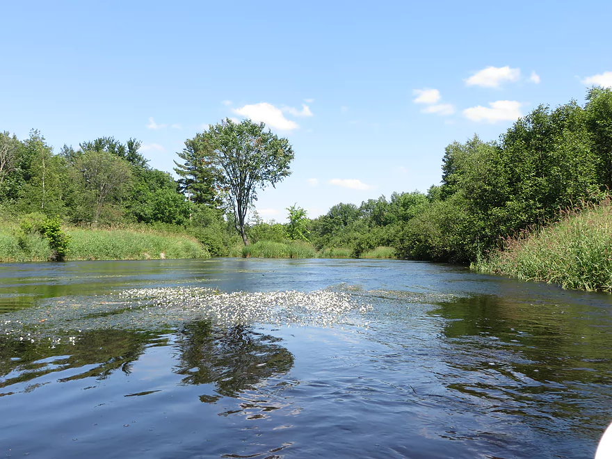
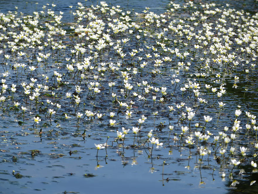
There were numerous beds of different water plants. Insects were abundant. Damselflies, dragonflies, and midges made up the majority of them. Although we did see five or six private homes/cabins scattered along the route, this stretch is largely undeveloped. It took us a little over 4 hours to cover approximately 5.5 miles, although we did stop for a half hour to eat lunch. We took it pretty slow. This would certainly be a quicker run in high water.
- American Whitewater (review intended for hardcore whitewater paddlers)
- Paddling Northern Wisconsin: 85 Great Trips by Canoe and Kayak
Click here to see an overview map of the Prairie River.
- Upstream from Hanson Road Access: The river here is too narrow to paddle.
- Hanson Road to R and H Road Walk-In Access: 1.9 miles. I don’t know much about this leg, but satellite images suggest it’s relatively open and might be pleasant.
- R and H Road Walk-In Access to Hackbarths Drive: 1.0 miles. Narrow stretch with maybe a logjam or two.
- Hackbarths Drive to County Road CCC: 4.5 miles. Reviewed by paddling author Frank Piraino.
- Hackbarths Drive to Hwy 17 Walk-In Access: 1.1 miles. Wooded stretch with a few possible congested spots.
- Hwy 17 Walk-In Access to Bridge Drive: 2.6 miles. Another wooded section. Figure a handful of light rapids and maybe one logjam.
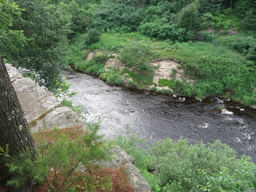
- Bridge Drive to County Road CCC: 0.8 miles. Rocky with hazardous Class 2-3 rapids which requires a difficult 600′ portage through thick woods. There are also several bad logjams and a dangerous low bridge. This stretch though is scenic. Here is a 360 picture.
- County Road CCC to Prairie Forks Drive: 6.2 miles.
- County Road CCC to Bachelors Lane: 2.9 miles. Great leg with scenic pine trees and in the fall attractive color. Highlights include a few small boulder gardens. There is a minor logjam that isn’t difficult to get past.
- Bachelors Lane to Town Hall Road: 2.3 miles. Not as good of a leg with scrubbier trees and six logjams. Most of the portages weren’t difficult, but two were tricky.
- Town Hall Road to Prairie Forks Drive: 0.9 miles. Nice stretch that is a bit more open. Highlights include no logjams and a few nice, small boulder gardens.
- Prairie Forks Drive to Axen Road: 0.8 miles. River meanders through scrubby woods with maybe two logjams.
- Axen Road to County Road J: 1.7 miles. River doubles from the North Branch. I suspect this is a mediocre stretch.
- County Road J to Heineman Road: 1.7 miles. Mix of pine and hardwoods with alders. Starts slow, but picks up speed. No major rapids.
- Heineman Road to Prairie Road Access: 5.6 miles.
- Heineman Road to Hay Meadow County Park: 1.5 miles. Easygoing with no obstacles.
- Hay Meadow County Park to Shady Lane Ave: 2.5 miles. Scenic section with boulder gardens, outcrops and dells. Includes some Class 2/3 rapids.
- Shady Lane Ave to Prairie Road Access: 1.6 miles. Likely minor rapids and boulder gardens during low water.
- Prairie Road Access to Cty C: 2.9 miles. A handful of large islands. Maybe some minor rapids. Could be a few logjams on some of the island channels.
- Cty C to Prairie Trails Park: 7.4 miles. Likely a pleasant wooded paddle.
- Prairie Trails Park to Strange’s Park: 1.9 miles. A wooded section through downtown Merrill.
- Strange’s Park to Mouth: 1.1 miles. Final stretch of the river. There isn’t really a great access on the Wisconsin River upstream of the Merrill Dam. You might have to do a 1000′ portage to reach better access points east of the dam.
Trip Map
View Prairie River in a larger map
Overview Map
Video
Photos Size:
A guest video for this stretch was just submitted by Corbin. You can view this at: https://www.youtube.com/watch?v=UKsJuEo9Ar4&ab_channel=WisconsinRiverTrips
This run is way more fun than this entry suggests. Water level is key — I did the same run (but took out at County Rd. C, a worthwhile extension of the trip) on May 10, 2025 and the USGS gage (which you can see at the take-out) read 230 cfs — an almost perfect level to avoid a lot of scraping but also to not get overwhelmed in the Dells. Don’t go if it’s under 200, IMO.
Make your decision about running the Class I-II dells before you get on the river: they’re very hard to scout from the bank and portaging them would be nigh impossible.
Continue past the Prairie Rd. take-out for an extra mile or so of some fun riffles and braided channels that keep you engaged.
Thanks as always for the feedback Denny. I plan to do the Prairie River this summer and hope to provide more detail later.