
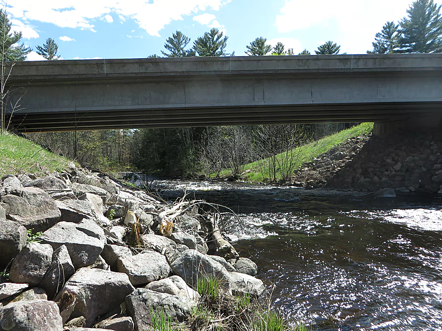
Putting in at Hwy 64
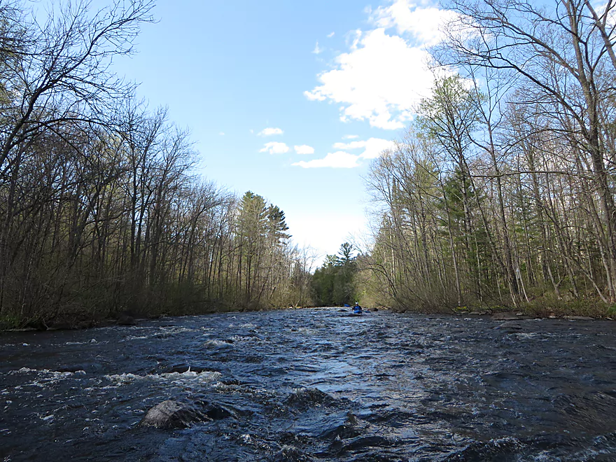
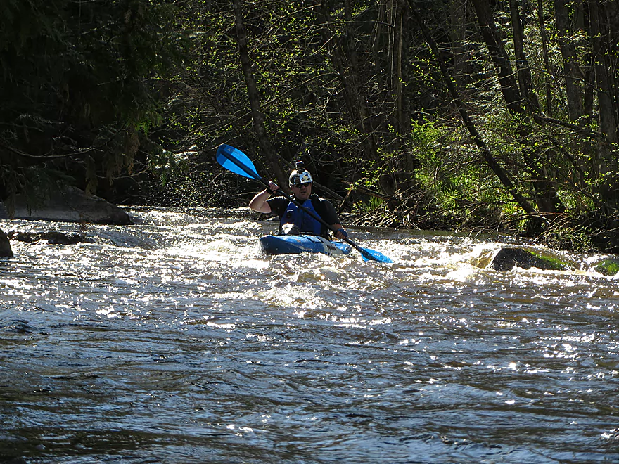
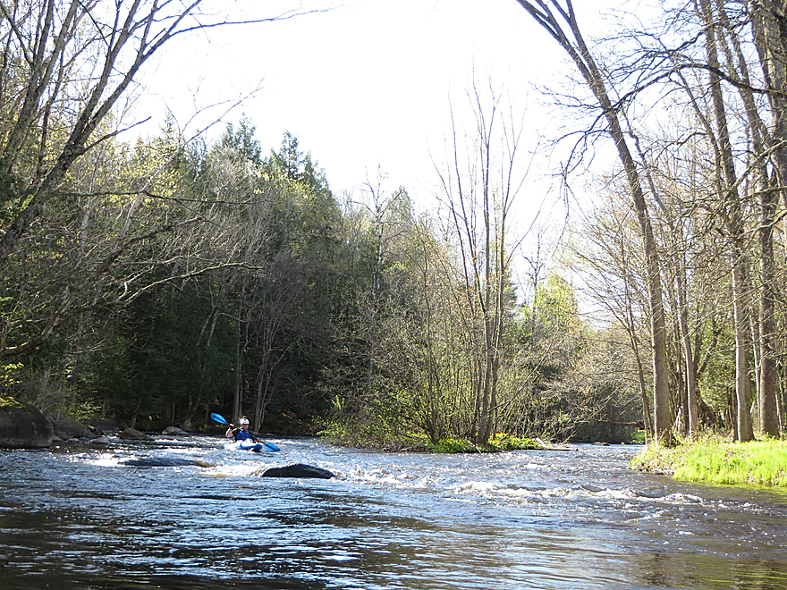
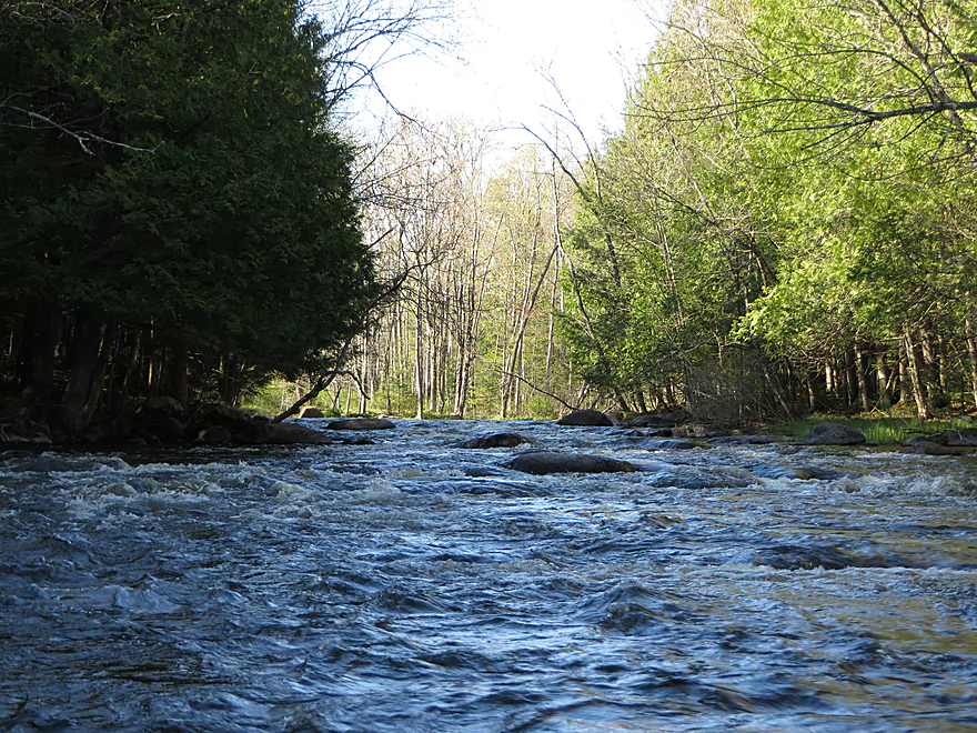
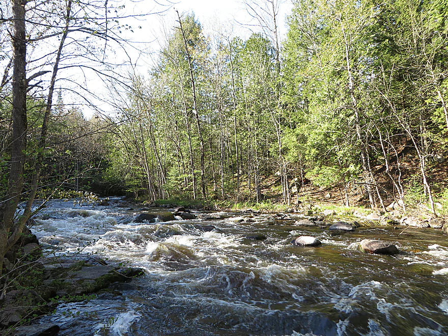
Start of a long stretch of rapids
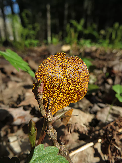
Interesting dots on the leaf…maybe a fungus
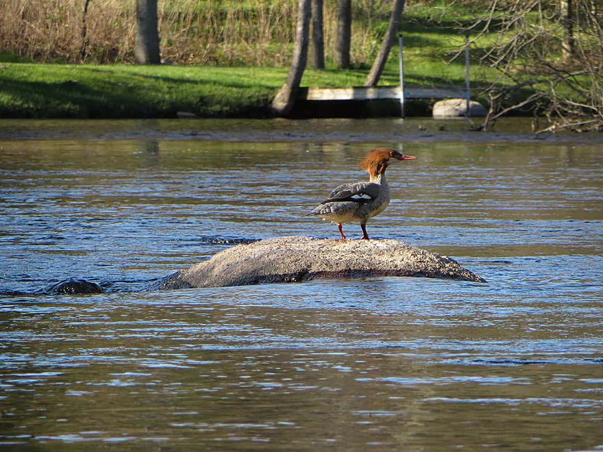
Female common merganser
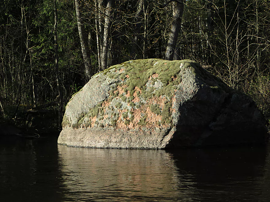
Interesting moss and lichen pattern
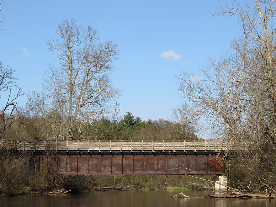
Oconto River State Trail
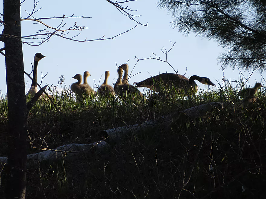
Canadian geese and goslings
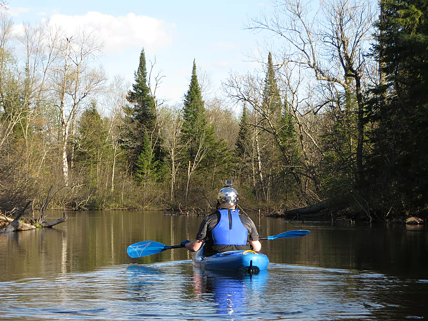
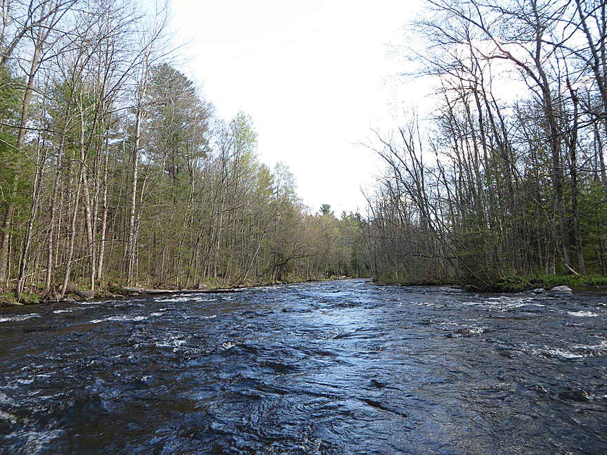
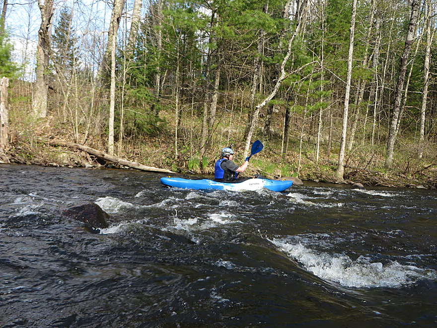
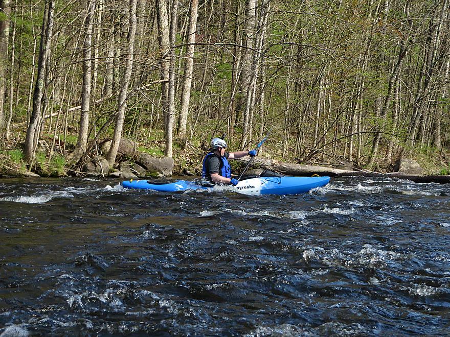
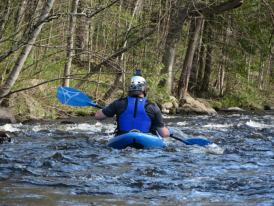
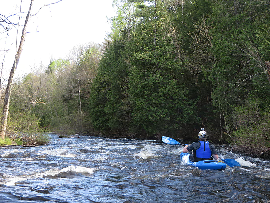
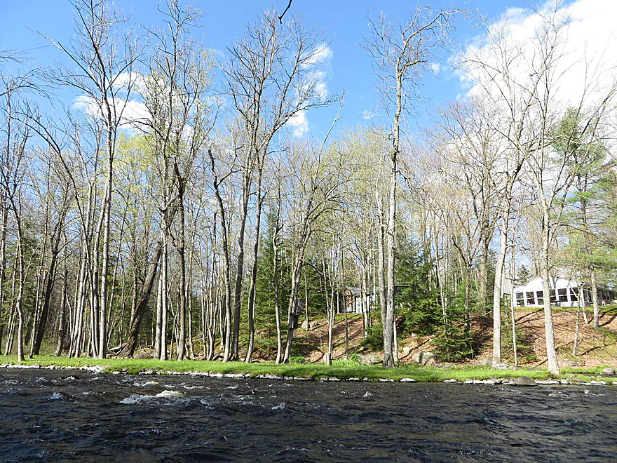
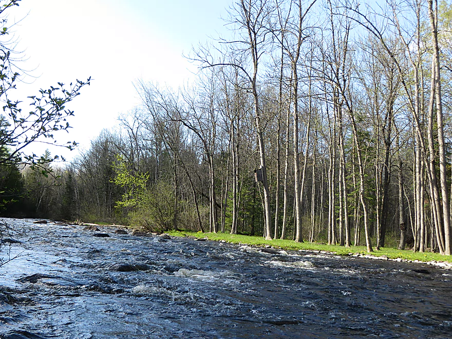
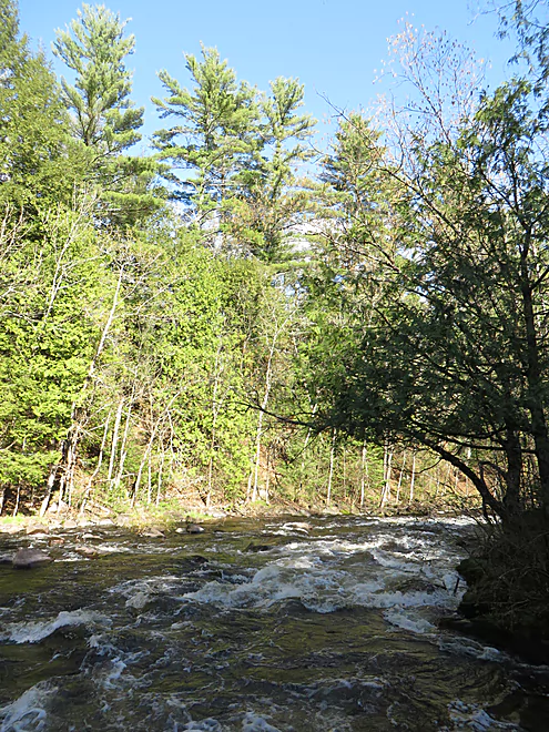
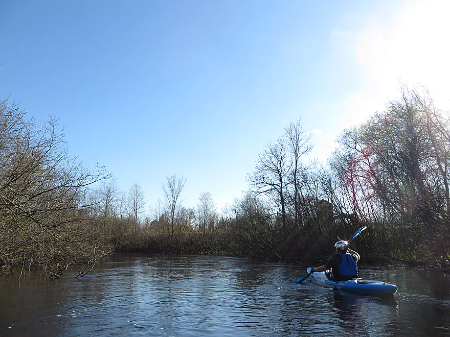
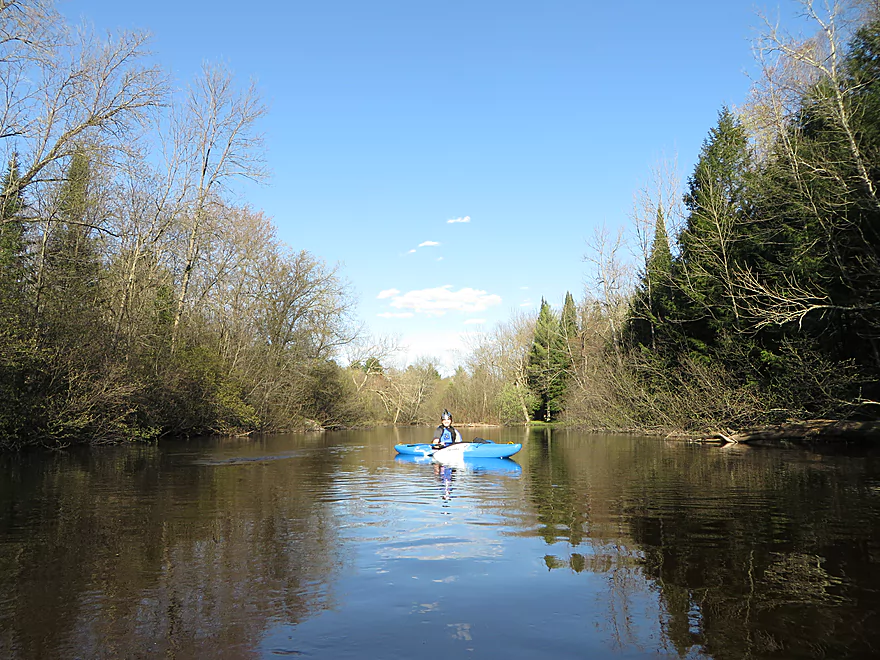
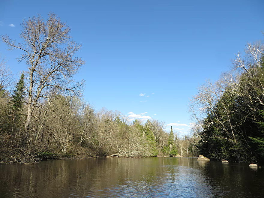
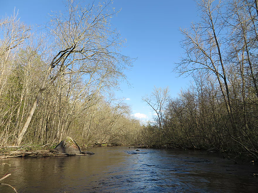
Oconto River

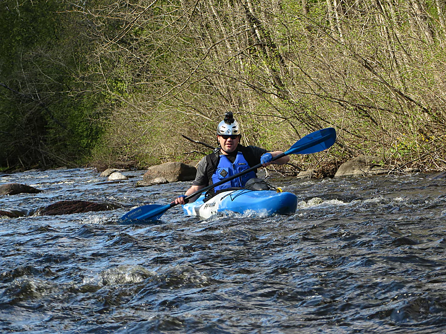
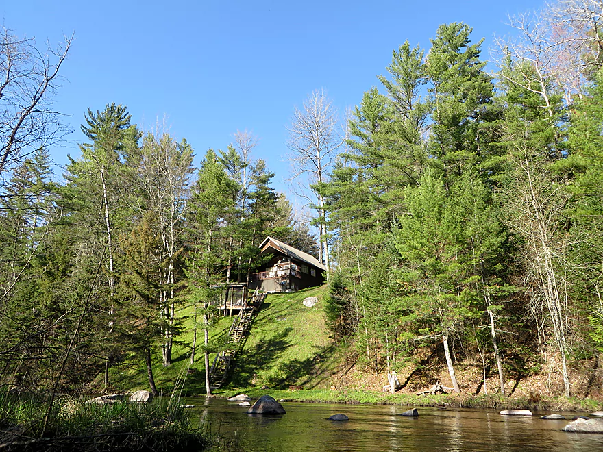
The Oconto River was a fun trip. There was a lot of wildlife and lots of rapids, and lots of vacation homes.
The put-in was not the most convenient, but I have seen worse. The Oconto is a small river surrounded by a mix of deciduous and coniferous trees. It has a firm, rocky substrate. Marsh marigold was often seen along the banks and trillium was seen on the forest floor. Tons of birds were in and around the river.
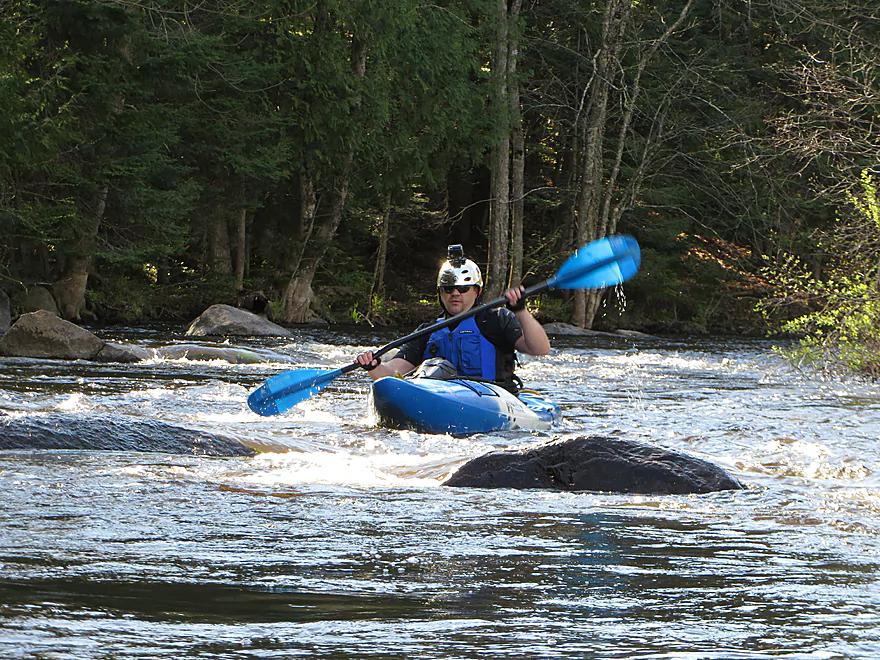
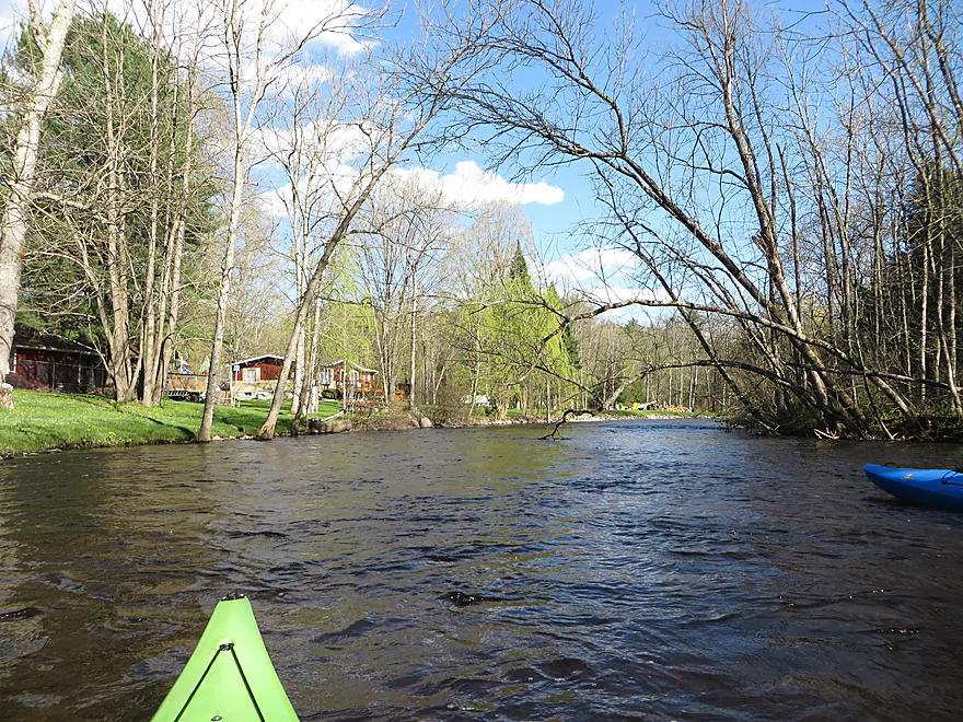
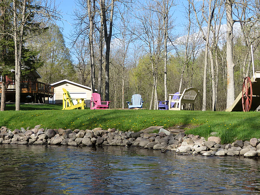
There were no downed trees or boulders to negotiate. The river was moderately swift and we started to see rapids soon after we put in. Water levels were a bit on the low side and we scraped bottom many times. The rapids were mostly Class 2, but they lasted a good while. There wasn’t much time to rest! Things calmed down for a while after the first rapids. Numerous vacation homes lined the bank along several stretches.
We chose to take out just prior to the Class 3 section of Bagley Rapids in the Bagely Rapids Campground. The take-out was not easy. There is no place to leave a car in the campground (unless you are camping there) and you have to take out through one of the campsites. Luckily the campsites were not occupied. We had to park just outside of the park, then hike 5 minutes to pick up the car and drive to the campsite. The bank was quite steep here.
I would only do this stretch again if the water was higher, and if we camped at the take-out or took out farther downstream. Kingston Road looks (from satellite photos) like a good take-out, but would make a long trip.
Thanks Corbin for the review!
Below are some additional paddling options on the river. For more information on these sections see the book “Paddling Northern Wisconsin” or check out the website AmericanWhitewater.org.
- Upstream of Smyth Road: Noted paddling author Mike Svob claims these sections are too brushy to run, but I suspect there is still some good paddling in these regions.
- FR 2101/Smyth Road to Sullivan Springs Road: 2.7 miles. A good section recommended by the US Forest Service. Likely only minor rapids, if any. Nice covered bridge at put-in.
- Sullivan Springs Road to Tar Dam Road: 4.9 miles. Probably slower with no rapids. Much less popular than downstream sections but sometimes maintained by the USFS.
- Tar Dam Road to Old Hwy 32/Forest Road 2106: 1.2 miles. One set of Class 2 rapids. Put-in might be private, but am not sure (think a lot of people use it).
- Forest Road 2106 to Hwy 32: 2.2 miles. Three sets of Class 2 rapids.
- Hwy 32 to Bagley Rapids Campground: 5.4 miles. Reviewed here, May 2017.
- Hwy 32 to Hwy W: 3.2 miles. Includes a long stretch of Class 2 rapids. Also one set of Class 3 rapids.
- Hwy W to Bagley Rapids Campground: 2.2 miles. Mostly flatwater, but includes Class 2 rapids at end. There are two take-out options. You can disembark at the campground itself but this is a fee area. There is a public canoe access a third of a mile later, but this means you will have to run Bagley Rapids (strong Class 2). This 2nd take-out is off the deadend lane Lower Bagley Road and is very hidey. It also requires a 400′ hike to reach the road.
- Bagley Rapids Campground to Kingston Road: 0.8 miles. One Class 3 ledge, then the start of a flowage.
- Kingston Road to Chute Pond Park/Dam: 2.1 miles. Simple lake paddling.
- Chute Pond Park to Hwy 32: 1.8 miles. Probably a nice section with a few light rapids (perhaps the last noteworthy ones on the river).
- Hwy 32 to Logan Road: 5.4 miles. Hwy 32 might not be a workable access. River transitions out of the national forest and into private lands. Many downed trees, but the river should be big enough to get around most.
- Logan Road to N. Branch Road: 3.6 miles. Logan Road might not be a practical launch option. Simple flatwater section.
- N. Branch Road to Riverside Park/Suring: 10.6 miles. Appears to be a canoe landing at N. Branch Road. Possible alternative access points downstream at Canoe Lane and Lilliand Drive. Suspect this section gets some paddling traffic. Likely flatwater. Know little more.
- Riverside Park to Hwy H: 13.4 miles. River grows significantly with the addition of two tributaries.
- Hwy H to Underhill County Park: 6.6 miles. Good canoe launch at Hwy H.
- Underhill County Park to Pulcifer Sportman’s Park: 5.8 miles.
- Pulcifer to Hwy BB Boat Landing: 3.8 miles. Reviewed by Mike Svob. Despite being very wide, this segment has many riffles and rocks that might make it interesting.
- Hwy BB to Hwy 32: 3.1 miles. Good put-in and take-out.
- Hwy 32 to Oconto Falls/City Park/Dam: 5.6 miles. Some flowage paddling.
- City Park to Sewage Treatment Plant: 0.6 miles. Rough section – not recommended. There would be two dams to portage and a paper mill to circumnavigate. Also some strong rapids after the 2nd dam.
- Sewage Treatment Plant to Van Laenen Road: 5.9 miles. A flowage and dam portage to deal with. The put-in is suspect, but the take-out is quite good.
- Van Laenen Road to Hwy J: 4.1 miles.
- Hwy J to N. River Road Landing: 1.1 miles.
- N. River Road Landing to McDonald Street Boat Landing: 4.4 miles. One set of Class 1 rapids.
- McDonald Street Landing to Lake Michigan/Breakwater Park: 4.8 miles. An urban paddle through downtown Oconto.
Trip Map
Overview Map
Photos Size:
As of June 2022, Hwy 32 to Branch Rd has many downed trees. It is technically passable (we did not have to portage anywhere) but some tricky spots and very slow going. Though it’s a beautiful section of river with lots of wildlife. Logan Rd is not a practical takeout. All private property. Branch Rd is ok. Plenty of parking by the fire lane but a bit steep from the river up to the road.
Appreciate the update!
Sullivan Springs Road to Tar Dam Road: This is actually a lively stretch of water–not still at all. We have a cabin off of Tar Dam Road and I’ve frequently paddle this section in a (skirted!) Wilderness Pungo. There are three sets of boulder gardens, one with a visible drop that I estimate to be close to, if not Class II. The second set includes a wave train that can fill your cockpit. In lower water this can be a bumpy ride to pick through the boulders. Putting in at Symthe Road (no longer any covered bridge), adds another two sets of whitewater. Take out at the maintained boat access off of Tar Dam Road BEFORE the Tar Dam Road Bridge, which is posted. OR, continue another few miles (through quickwater and one final bony Class I boulder garden) to the the Old Hwy 32 bridge where you can land, river right, to take out. Roadside parking. There are some downed trees in this section to maneuver around or over, one of which I have cut to create passage river left. I’ve heard that the Forest Service has cleaned this up in the past. Perhaps some additional nudging would help? This is really a fantastic little section! Downstream from the Old Hwy 32 bridge lies Loon Rapids, another white water section that I found to be more challenging.
Great information…thanks for the feedback!
Concerning Hwy H to Underhill County Park: My wife and I kayaked this 6/15/24. Nice stretch of secluded forest. There were MANY trees down in the river. TWO spots we had to get out of our kayaks about half way through. The first spot was not so bad as it is sandy and shallow. The second spot we had to sit on a downed tree and heave our kayaks across the fallen tree.
Other than that, the downed trees are navigable if you are semi experienced at steering.
All that aside, I would still HIGHLY recommend this river stretch due to the untouched nature and the beauty of the natural scenery. We seen 3 deer and one beaver. One house and one quaint small miniature cabin.
Thanks for the comment and the warning. Perhaps these were caused by recent storms.
How long did it take you?
Has anyone kayaked from Suring to Underhill or Pulcifer this year?
I haven’t…but hopefully somebody else has and will chime in.