
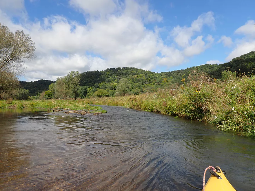
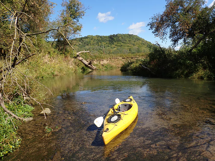
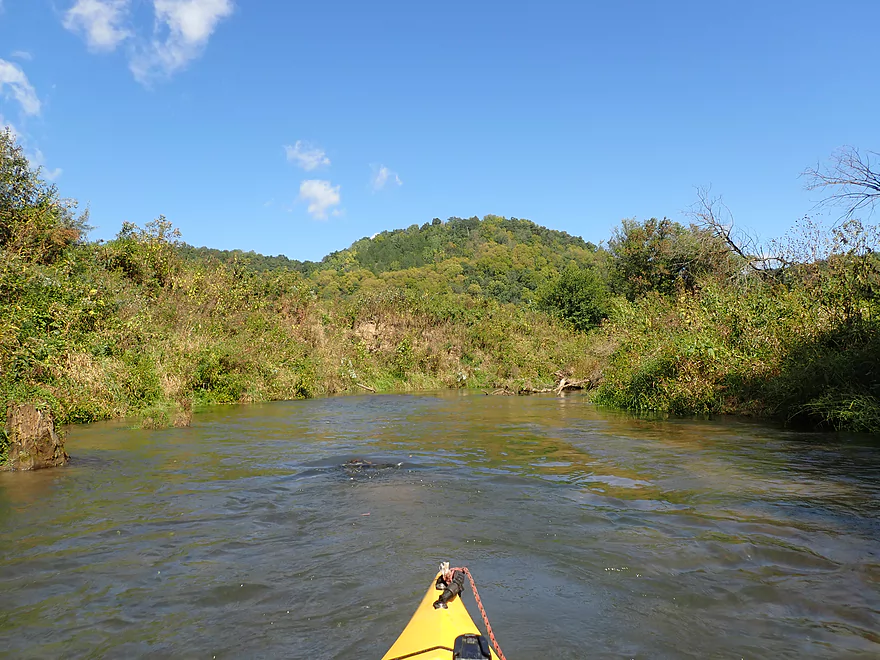
Put-in at Hwy N
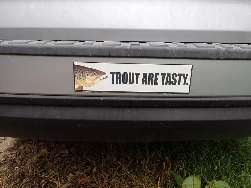
Don’t be surprised if you see trout fishermen
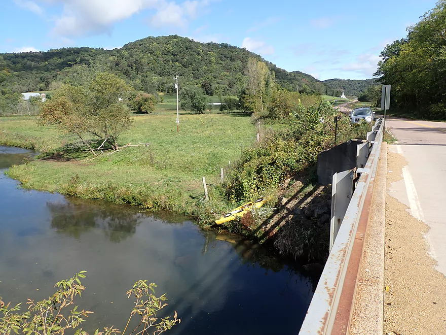
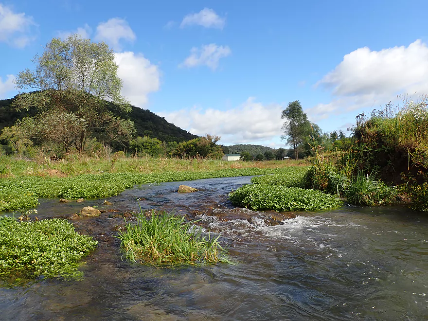
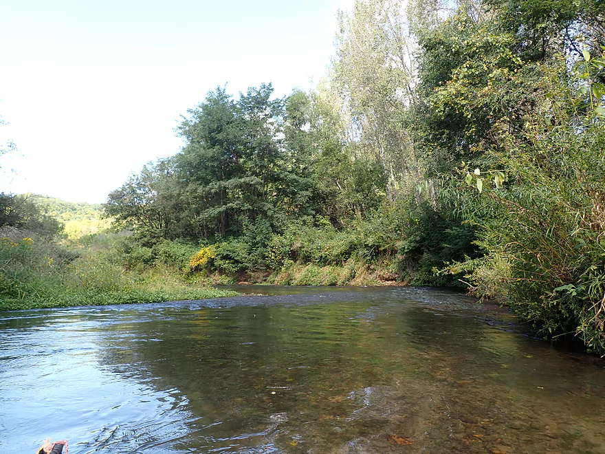
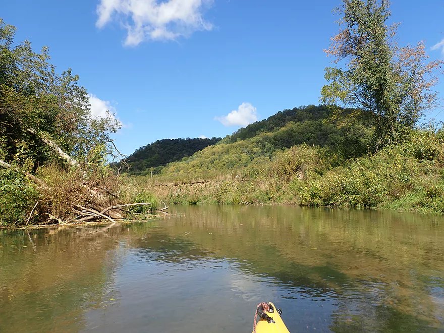
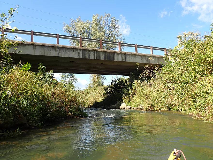
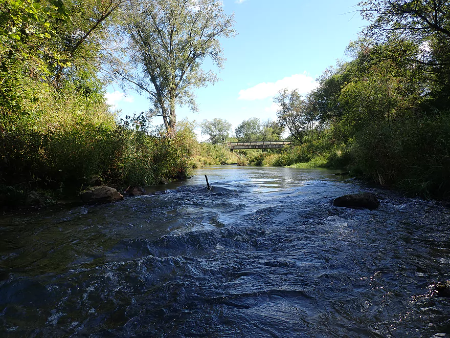
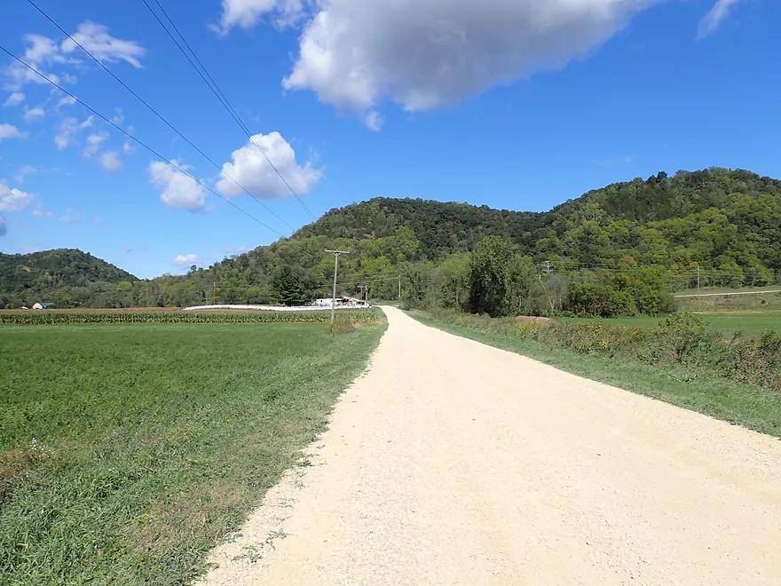
Gorgeous view from the bridge
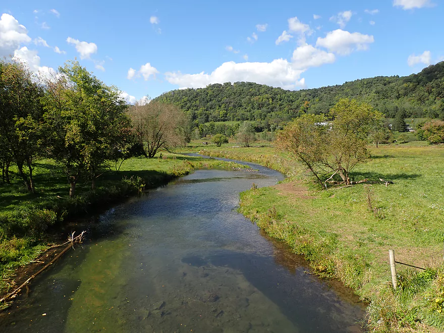
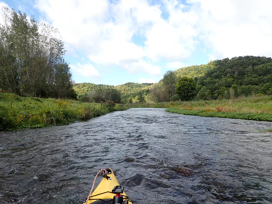
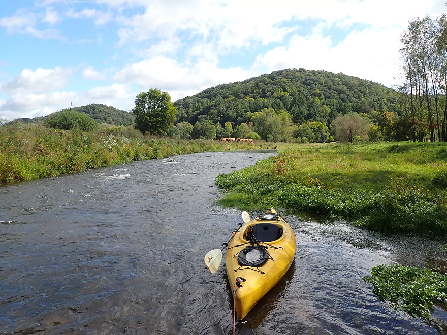
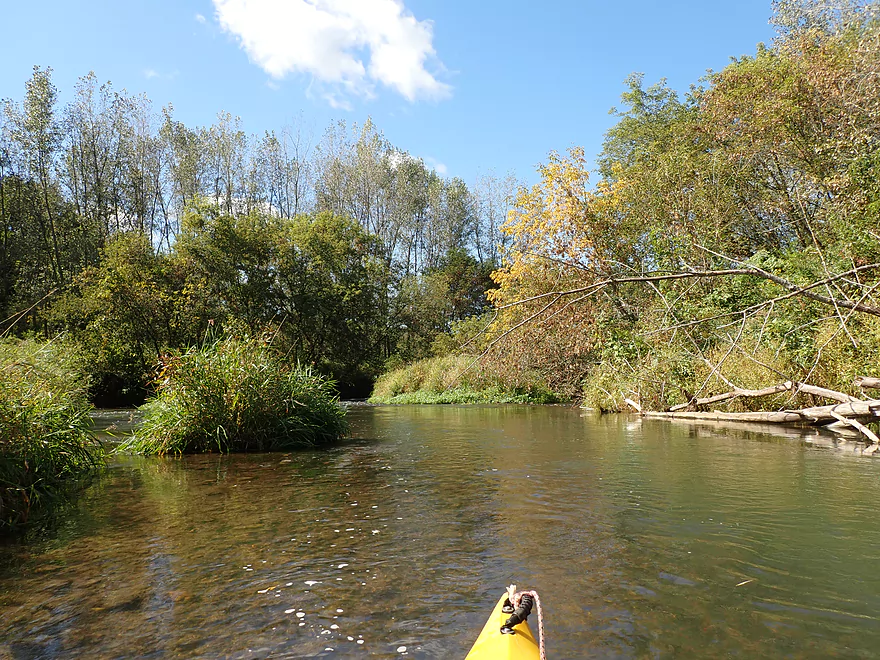
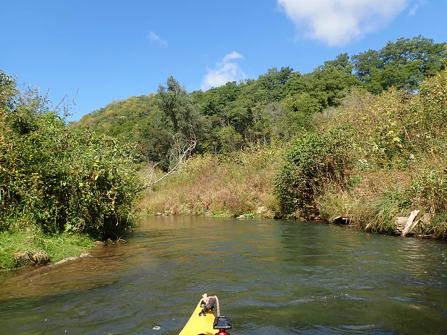
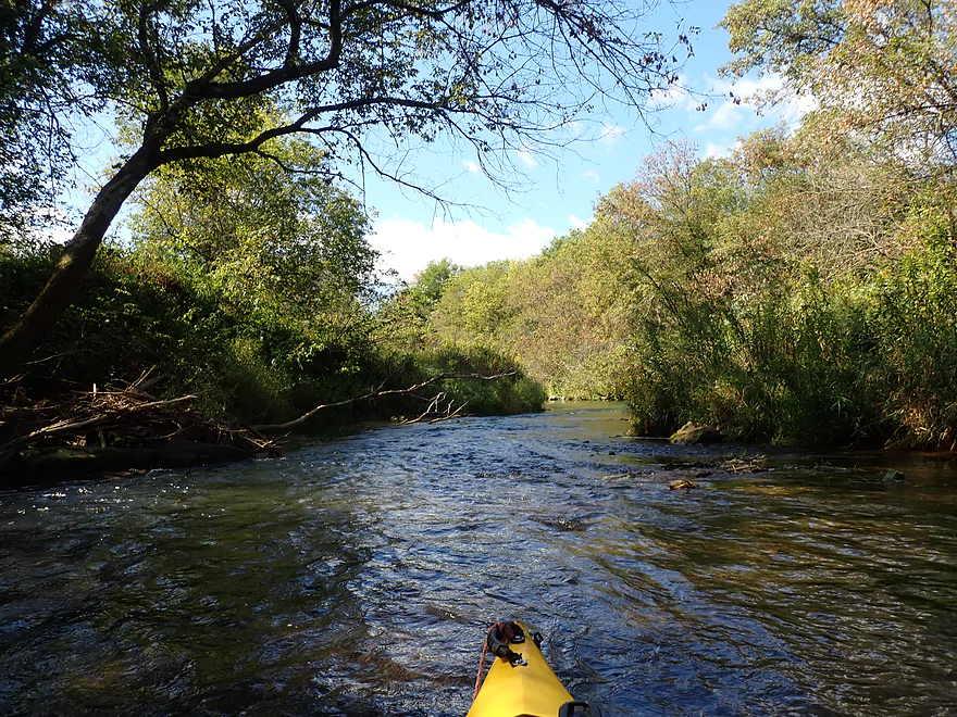
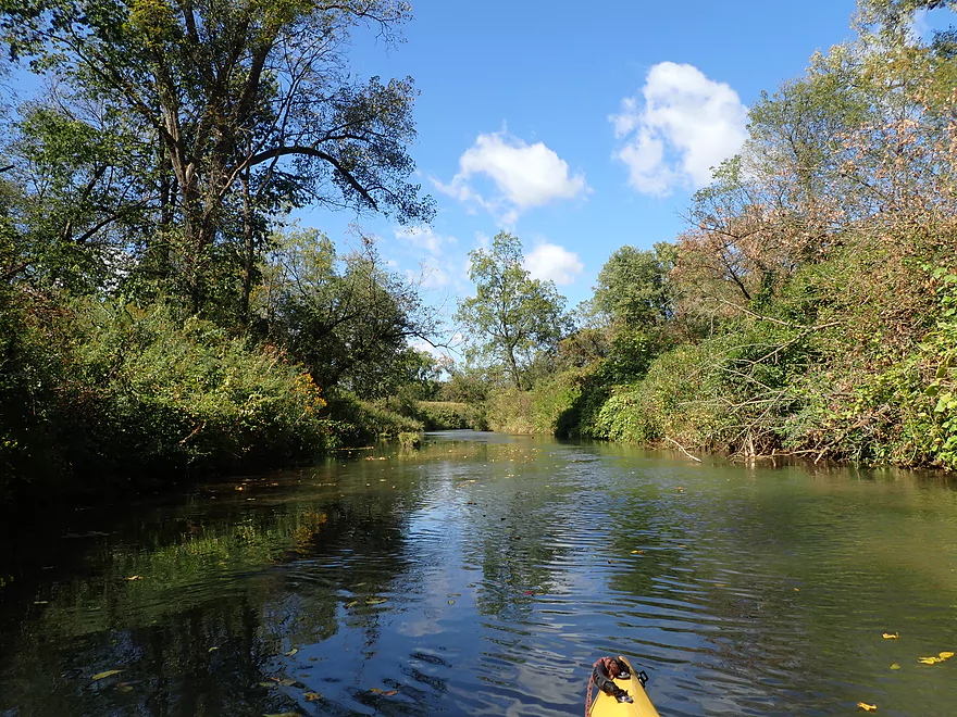
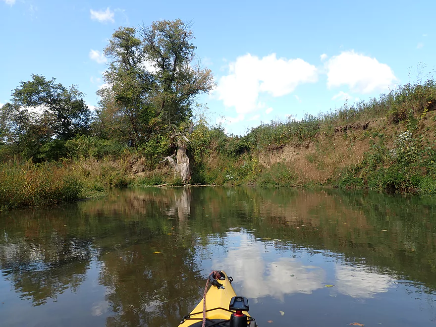
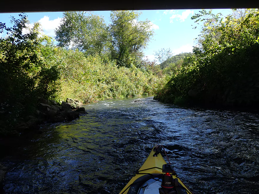
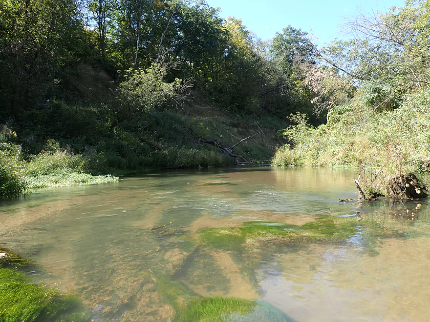
This is Norwegian Hollow–the best part of the trip
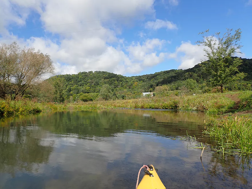
Norwegian Hollow Creek joins the Bad Axe
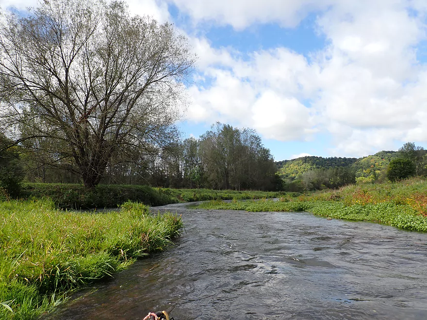
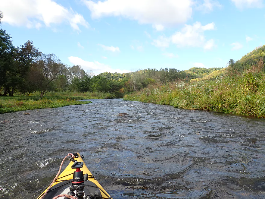
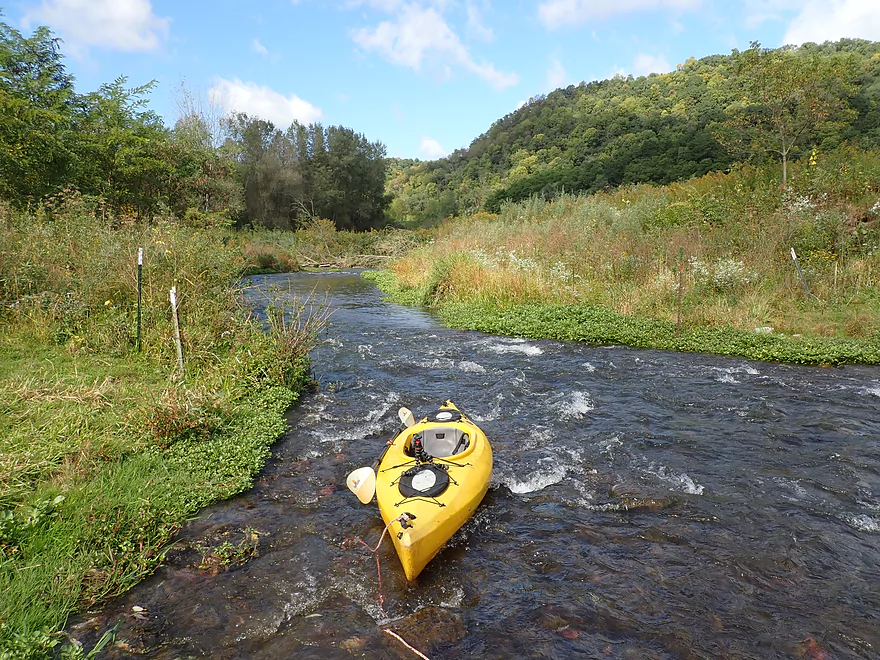
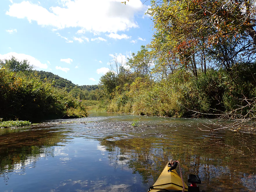
Fun twists and turns
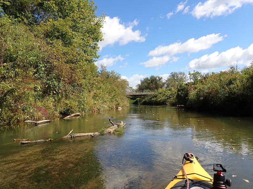
Reverse view
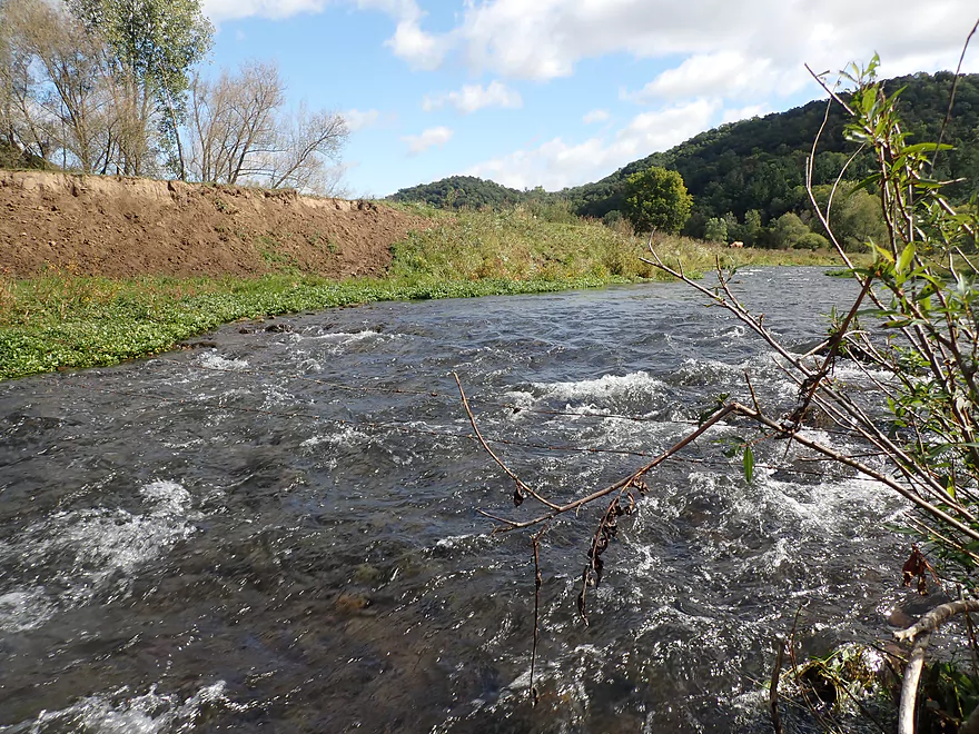
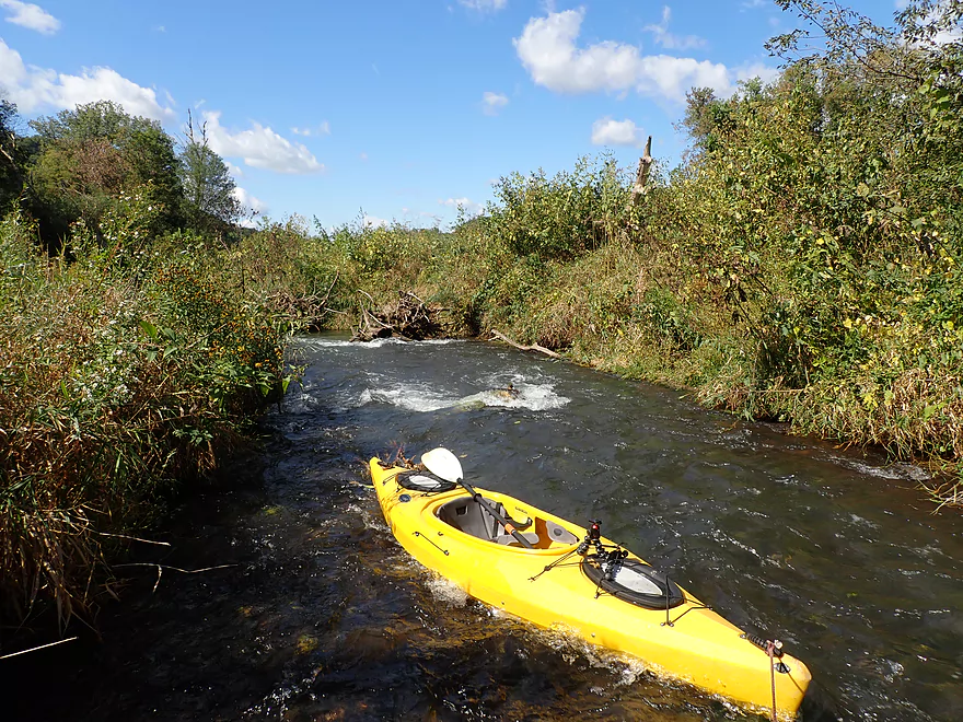
A longer stretch of rapids
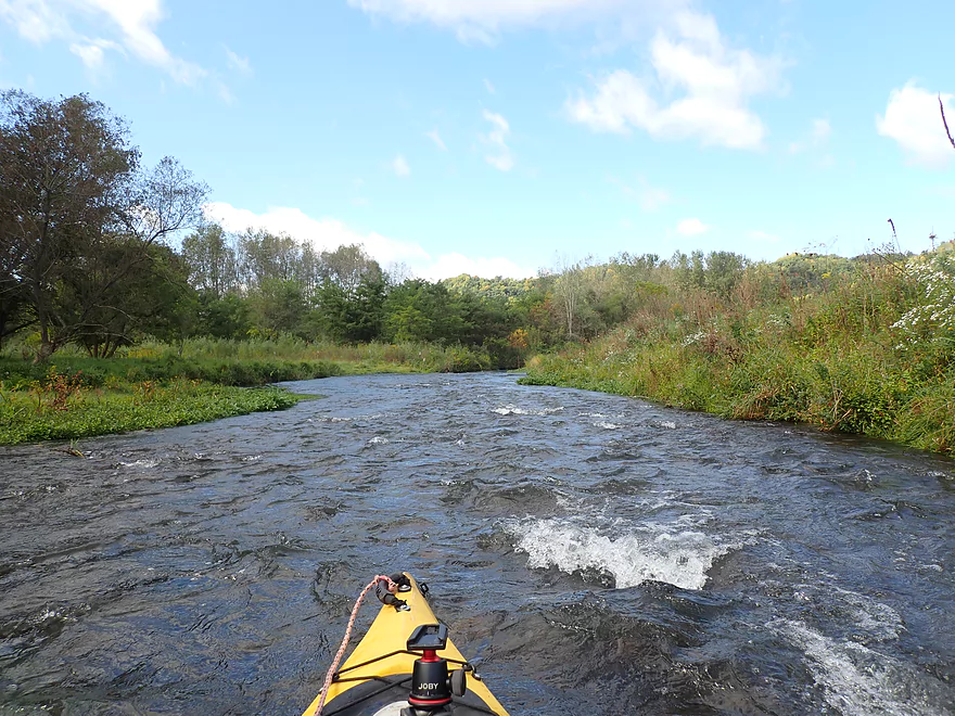
Lots of fun
Reverse view
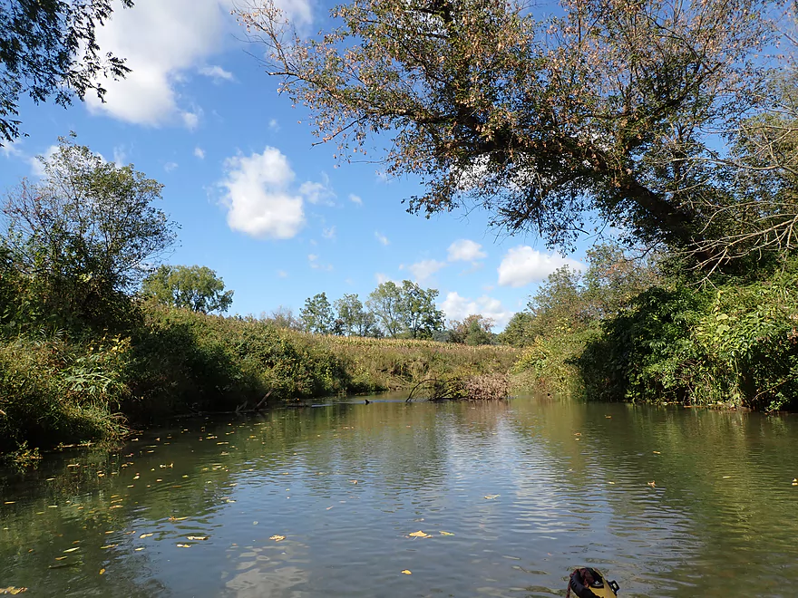
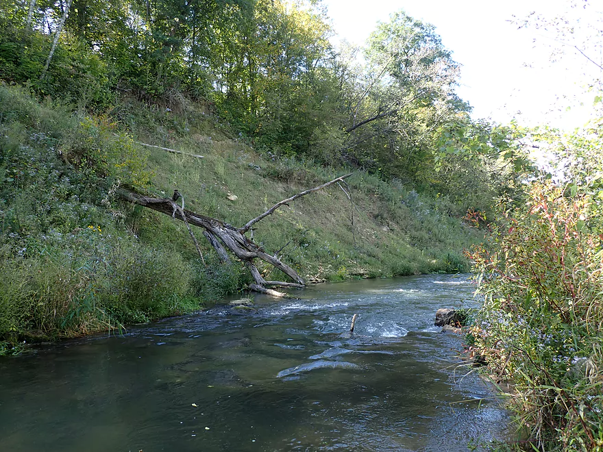
Low fence requires a portage
Pretty easy…reverse view
A shallow stretch
Parts of the creek have been restored for trout
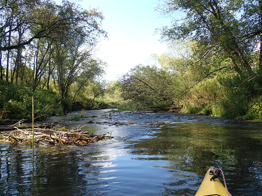
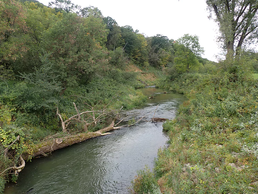
Some snags in fast current
Somebody lost their boat
Mud banks starting to grow in size
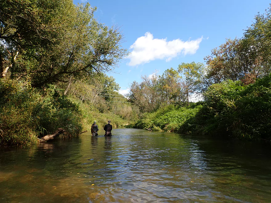
Passing two trout fishermen
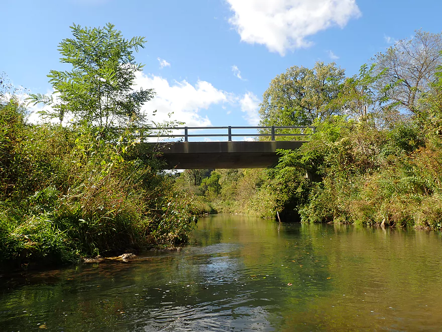
South Bad Axe Road
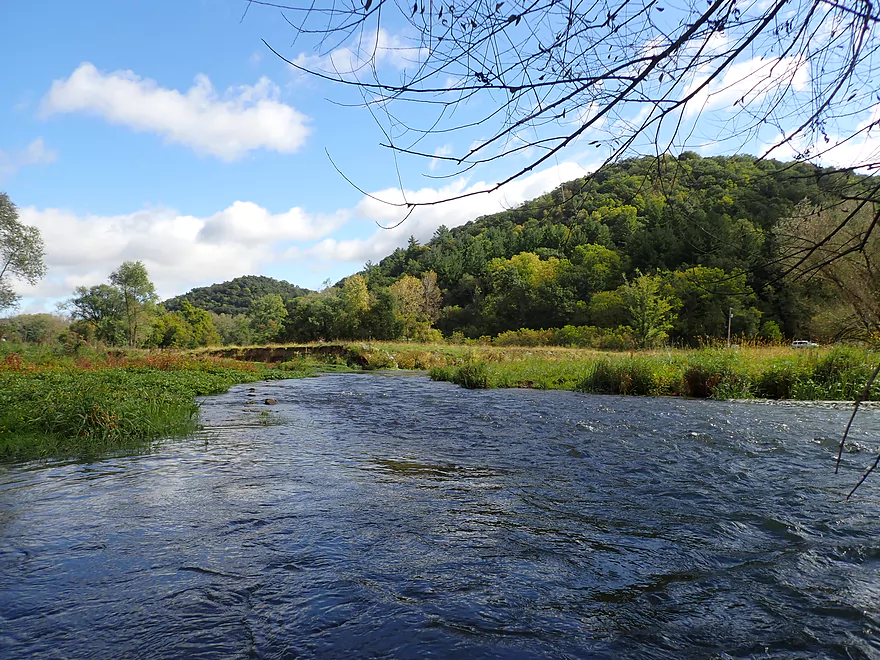
Leaves starting to fall
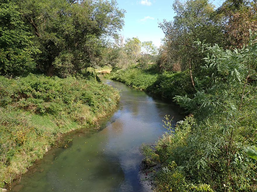
View from the bridge
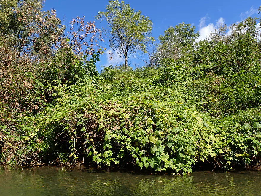
Wild cucumber vines
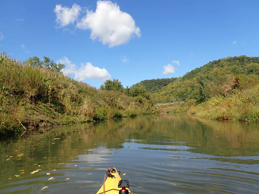
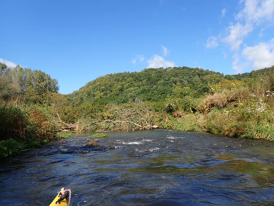
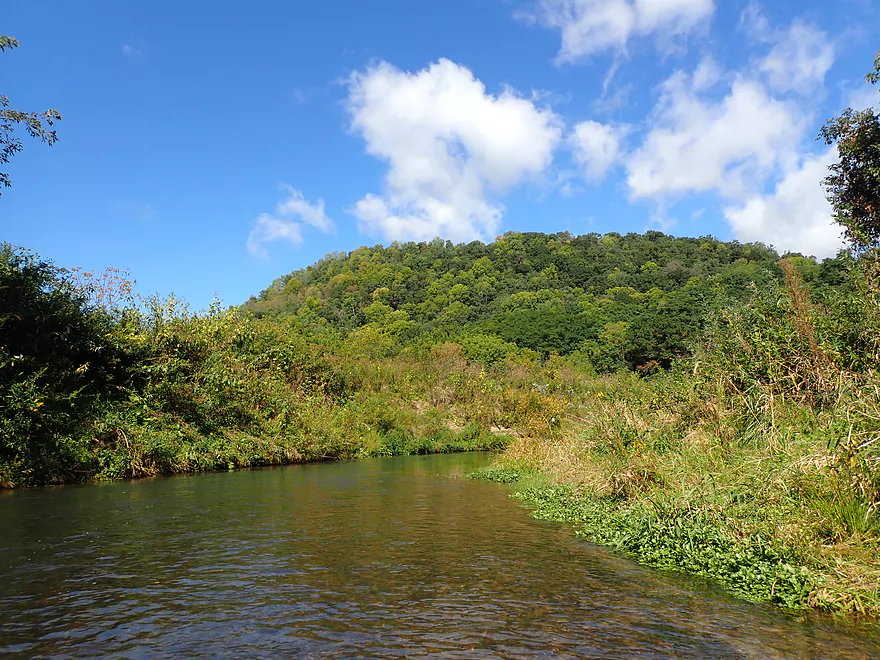
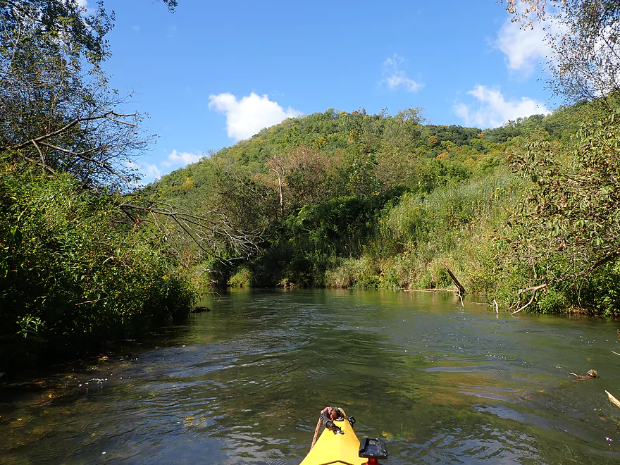
More great Driftless Area hills
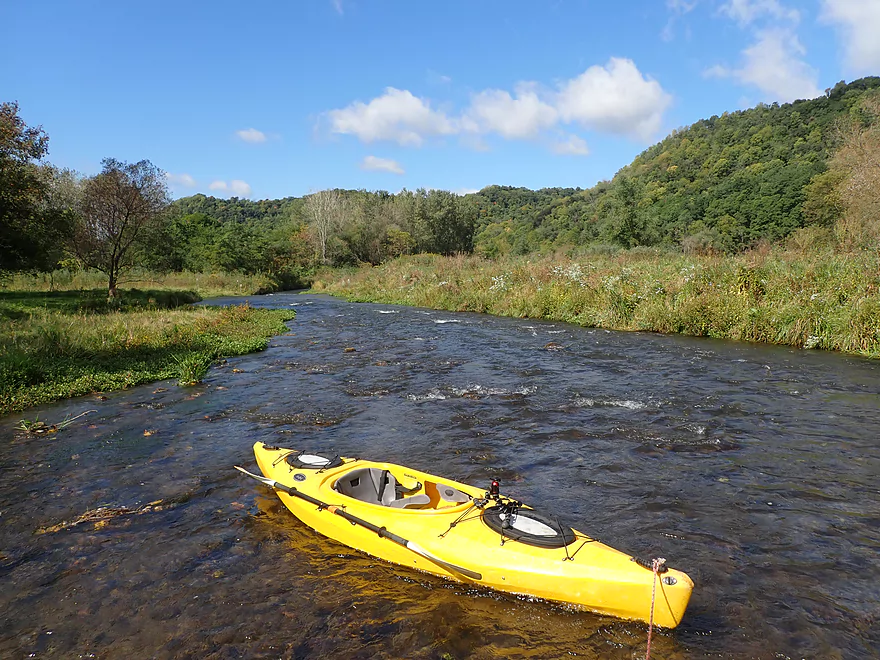
Getting out…
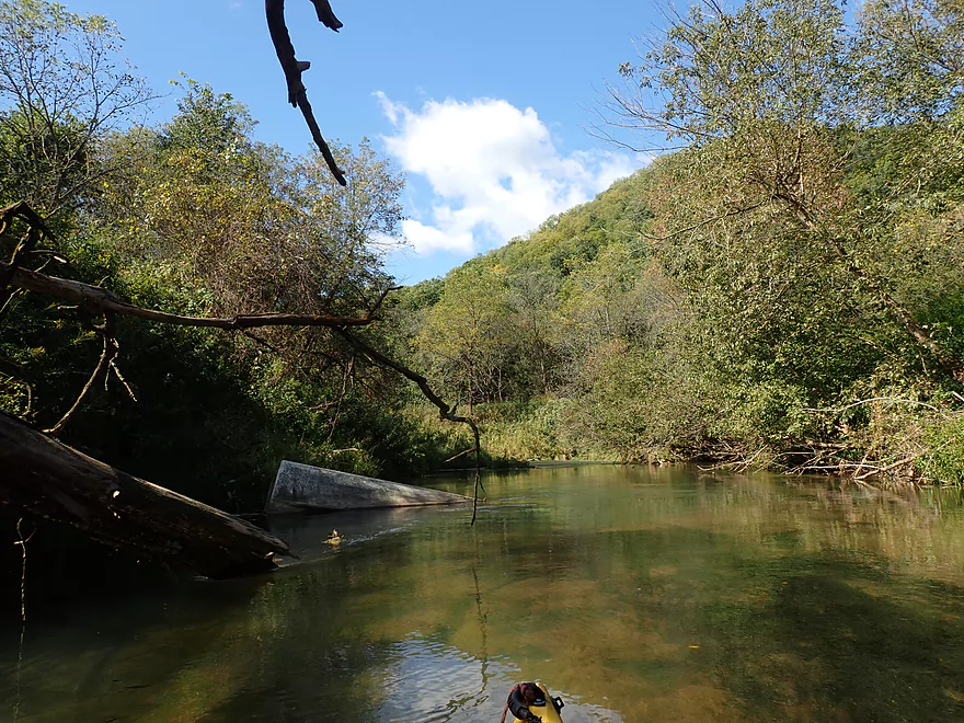
To scout this tricky snag
Anderson Ridge Road (my take-out)
Fun rapids under the bridge
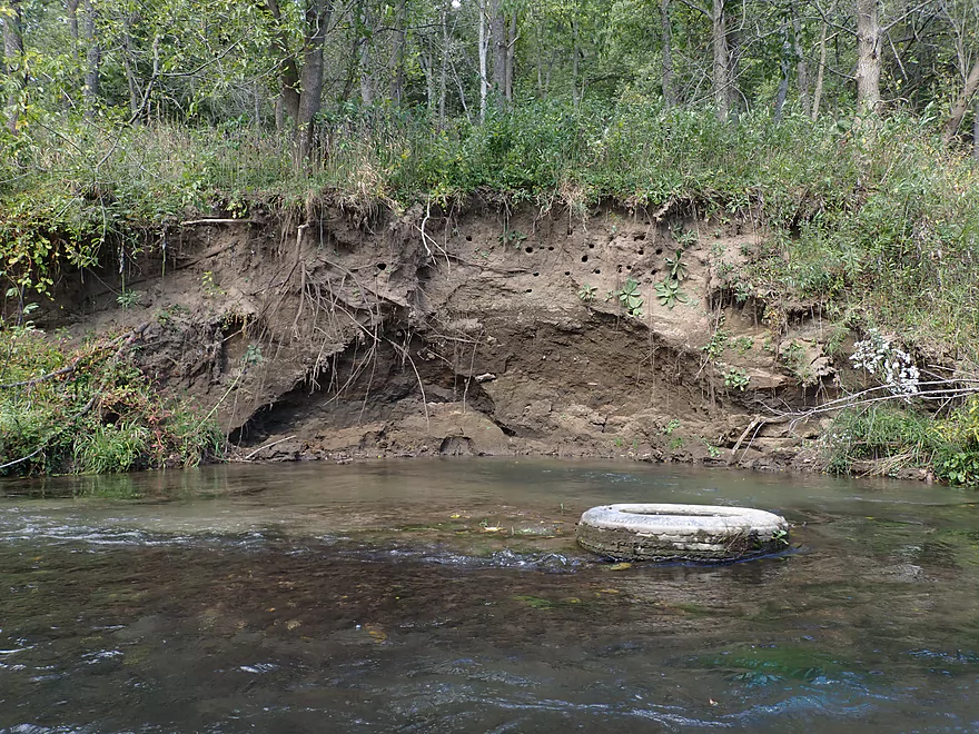
I decided to paddle a bit downstream to check out the exposed bank
Not quite an outcrop but cool
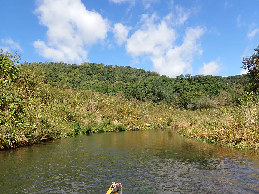
Heading back
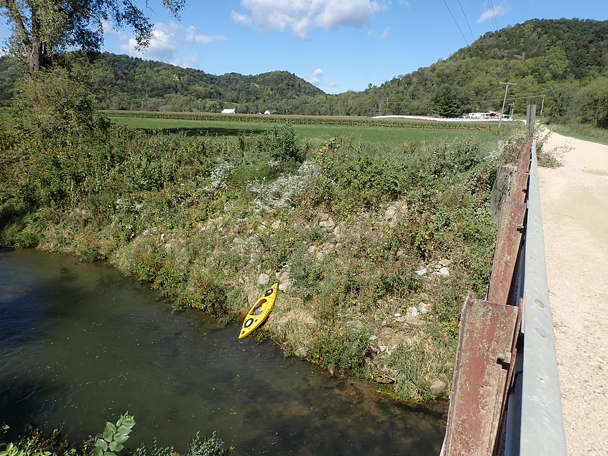
Anderson Ridge Road is steep….paddlers may prefer another bridge take-out
Bike shuttle was mostly over gravel…but scenic
Bad Axe River – South Fork – Purdy


The Bad Axe is a small river located in West Central Wisconsin halfway between La Crosse and Prairie du Chien. The lower stretch just above the Mississippi is meh for paddling with a number of logjams. However the North Branch and South Branch further upstream are actually quite nice for paddling with far fewer logjams.
I previously did an exploratory trip on the South Fork east of Purdy. My conclusion then was the river upstream from Hornby Creek was too small for enjoyable paddling, but downstream from it was excellent. At the time I wished I had gone further. This time, I launched where I last took out (Purdy), but opted for a short two mile trip to Anderson Ridge Road. The weather was raining/cold/overcast in the morning, and I also wasn’t nuts about a long bike shuttle over a nasty gravel road.
The best part of the entire trip was actually the first quarter mile (Norwegian Hollow), located just after the put-in by Hwy N. Here there were fun rapids and steep Driftless Area bluffs. I have often referred to scenic Driftless Area Bluffs from reviews such as Coon Creek, Narrows Creek, Kickapoo, etc… But IMO the Bad Axe bluffs are special even by those standards. I’m not sure why…maybe they are just a bit steeper and taller? At any rate they were special.
On the downside, Norwegian Hollow did have some cattle grazing up to and into the creek. There was also a low fence that couldn’t be ducked. Fortunately it wasn’t electric and was actually an easy portage.
The trip stayed lively after that with a number of fast rapids. Most weren’t major, but in a few cases there wasn’t a lot of room to maneuver around obstacles (see video). IMO that wasn’t a big deal as you could usually just wade/portage anything you weren’t comfortable with. This is definitely a trip to bring your aquatic boots/shoes with.
The scenery stayed good after that, but slowly the creek became more eroded and slightly less interesting. I think it is fair to generalize that the further downstream you go on the Bad Axe River, the uglier it gets.
I would pass two trout fishermen by S. Bad Axe Road which seemed like a decent bridge access. The Bad Axe River is famous for being a trout stream but I didn’t see many trout. The creek has actually grown in size these past 10 years, and maybe most fish have migrated upstream.
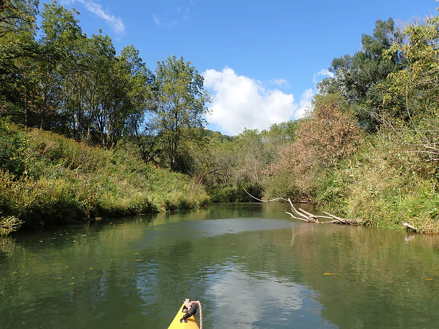
The last half mile was decent but not as good as the first leg. Highlights included more scenic bluffs and rapids. There was another strainer (see video) that was a bit tricky to deal with but wasn’t a game breaker.
I soon came to Anderson Ridge Road which was my take-out. I saw what appeared to be a steep cliff downstream, so I overshot my take-out to explore that. It turned out to be more of a steep bank than a sheer rock cliff, but was still cool.
In conclusion this was a nice trip and a great way to spend a late September weekend. My main regret was that it was too short. For new paddlers, I recommend putting in upstream from my put-in (2nd Hwy NN bridge) and going to S Bad Axe Road or further downstream to Oliver Road. I can’t recommend this trip for all paddlers as it does have some fast current and good boat control is required. But for those that don’t mind this, this is one of the more scenic rivers in West Central Wisconsin.
Other than a few dragonflies and fish, I didn’t see much. The South Fork is famous as a trout stream, and chances are good you’ll see at least some fishermen on the creek.
Hwy N: This was a relatively good bridge access. There is small but adequate shoulder parking northwest of the bridge where most trout fishermen park. The only downside is the bank is somewhat steep, and using rope to help lead your boat down can be helpful. The scene atop the bridge and looking downstream is fantastic.
Alternate Put-ins:
- Hwy NN(2nd bridge): (2.8 miles upstream from my put-in). Despite being a somewhat weedy bridge access, I would recommend most paddlers launch here as the subsequent leg was one of my favorites.
Anderson Ridge Road: Shoulder parking is good, but the bank is quite steep and rocky which can make lugging your boat up to the shoulder a pain.
Alternate Take-outs:
- S. Bad Axe Road (0.6 miles upstream from my take-out). This is a good bridge access that is frequently used by trout fishermen.
- Oliver Road (1.9 miles downstream from my take-out). The access is a bit tricky as there are rapids under the bridge. This leg is more eroded and has likely been partially ditched by farmers but is still nice with some scenic bluffs. Maybe one logjam. Bikers beware…this shuttle would mean some gravel pedaling.
- Lockington Road (2.9 miles downstream from my take-out). A bit weedy/rocky with some fast current under the bridge…but a much better access than Oliver Road. The Bad Axe by this point is more muddy and starts to lose some of its magic, but is still decent.
Bike Shuttle – S. Bad Axe Road to Hwy N: 1.9 miles with 79′ of ascent. This shuttle includes a mile of gravel (the big, evil, loose type) which wasn’t fun to deal with. Sometimes you can bike in the packed-in treads which helped (sometimes not). But because the shuttle route is short this isn’t a big deal and hiking part or all of the shuttle route is actually an option.
Logjams: There were no logjams that required portages.
Fences: There is one fence close to the put-in (marked on the trip map) that had to be portaged. This is not difficult and you can see where fishermen step over the fence. If you have rope you can lead your boat under while you walk over the fence.
Strainers: There are a few strainers in fast current that should be taken seriously. The good news is the river is relatively shallow and it’s not difficult to scout and if need be wade past any strainers you encounter. In high water, these may become more difficult. I took a video of the most serious strainers which you can see here.
Rapids: There are many light rapids on the trip. The river isn’t very wide so sometimes maneuvering through them can be a trick. Most are Class 1, but I would rate a few congested ones with strainers as Class 2. Absolutely scout anything you aren’t sure of and portage/wade past anything you aren’t comfortable running.
Nearest Gauge: Kickapoo River @ Ontario. 8.78′. Note, the Kickapoo by this gauge is bigger than the South Fork…so likely isn’t very representative. I suspect the South Fork stays mostly shallow throughout the year but can rise sharply after a big rain.
- < 8.75′: Very shallow…likely not viable for paddling.
- 8.75-8.9′: Shallow, but mostly viable for paddling.
- 8.9-9.0′: A mostly good depth.
- 9.0-9.2′: A bit above normal, but a good range.
- 9.2-9.3′: A high depth where strainers could be a nuisance.
- 9.3’+: Maybe too high for paddling.
Detailed Overview
Note, for additional information on access points please see my overview map.
Main Branch/North Fork:
- Hwy B to Esofea County Park: 0.9 miles. Small stream that would need very high water. Attractive with many light rapids and steep hills. Maybe one logjam.
- Esofea Park to Helgeson Road: 1.1 miles. Very fast and rocky section with open banks. Small and requires very high water to be runnable.
- Helgeson Road to Hwy Y/Runge Hollow Dam: 3.0 miles. Very tiny creek that runs through woods with perhaps a few logjams. This would include Runge Hollow Lake which is nice and the dam can be portaged. There is also a landing on the southeast side of the lake.
- Runge Hollow Dam to Springville Branch Confluence: 2.4 miles. Small and narrow. Maybe a few outcrops and 2-3 logjams.
- Duck Egg Park to Springville Branch Confluence: 0.3 miles. The Springville Branch is extremely small and fast. I hit a lot of rocks here, but it was worth it as this is a good way to access the North Fork.
- Springville Branch Confluence to Hwy O: 3.5 miles. River gains significant volume from the Springville Branch. This is a great leg with countless rapids and scenic driftless vistas.
- Hwy O to Goede Lane: 4.5 miles. Good prospect with more rapids, some pasture and what looks like a massive rice farm. Deadfall finally starts to encroach on the creek here…maybe two logjams. Goede Lane might not be the greatest access (see map for details).
- Goede Lane to Munyon Lane: 2.1 miles. Maybe 6-7 logjams. Mud banks start to grow in size.
- Munyon Lane to N. Ridge Road: 1.9 miles. Very open and likely logjam free.
- N. Ridge Road to Hwy 56: 1.8 miles. Maybe 4 logjams.
- Hwy 56 to Confluence of North and South Branches: 3.2 miles. Maybe 5-6 logjams.
- North/South Confluence to Henry Lane: 0.8 miles. River doubles in size after both branches join. Banks become muddier and taller. Maybe one logjam.
- Henry Lane to Amann Road: 1.6 miles. Maybe 3 logjams. A beat-up and messy section of woods.
- Amann Road to Mouth on Mississippi: 2.0 miles. Messy section frequently back-filled by the Mississippi. Maybe one logjam. There is a nice public landing directly on the mouth of the river.
South Fork:
- Upstream Of Sidie Hollow Lake: The South Fork splinters into a number of small creeks. These are likely too narrow and shallow to paddle unless done during a very high water event.
- Sidie Hollow Lake: The river is impounded by a large dam to create a lake. This can be a pleasant paddle. A launch is available on the east end.
- Lower Lake Road to Hwy NN1st: 4.6 miles. The river is here is very small and shallow…but open and scenic. This might be a viable paddle during a high water event.
- Hwy NN1st to Hwy N: 4.5 miles.
- Hwy NN1st to Hwy NN2nd: 1.7 miles. A fast, narrow and shallow creek that is very scenic with many rapids. However this stretch is likely too small for most paddlers to enjoy. There are 3-4 logjams and a handful of strainers in this stretch…most of which are easy portages.
- Hwy NN2nd to Hwy N: 2.8 miles. A terrific open stretch with many rapids. There are a some strainers but these can be avoided with good boat control (or by simply portaging).
- Hwy N to Anderson Ridge Road: 2.1 miles.
- Hwy N to S. Bad Axe Road: 1.5 miles. A scenic stretch with many light rapids. Mostly free of logjams, but there is a fence to portage (not difficult).
- S. Bad Axe Road to Anderson Ridge Road: 0.6 miles. A good stretch, but not as good as the prior two legs.
- Anderson Ridge Road to Oliver Road: 1.9 miles. Maybe 1-2 logjams. The river looks like it has been ditched somewhat by farmers.
- Oliver Road to Lockington Road: 1.0 mile. Maybe one logjam and kind of muddy. There appears to be significant flood damage along this corridor.
- Lockington Road to S. Bad Axe Road: 1.4 miles. Very open section likely free of logjams, but muddy with tall banks.
- S. Bad Axe Road to North/South Confluence: 1.5 miles. Maybe 3-4 logjams.
Trip Map
Overview Map
Video
Photos Size: