

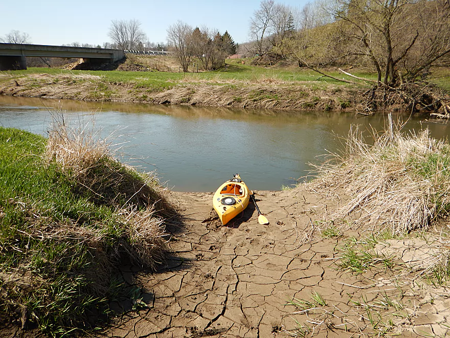
Popular canoe launch in La Farge
Super muddy launch
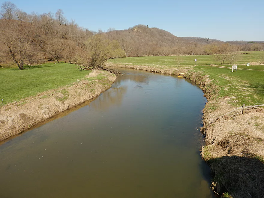
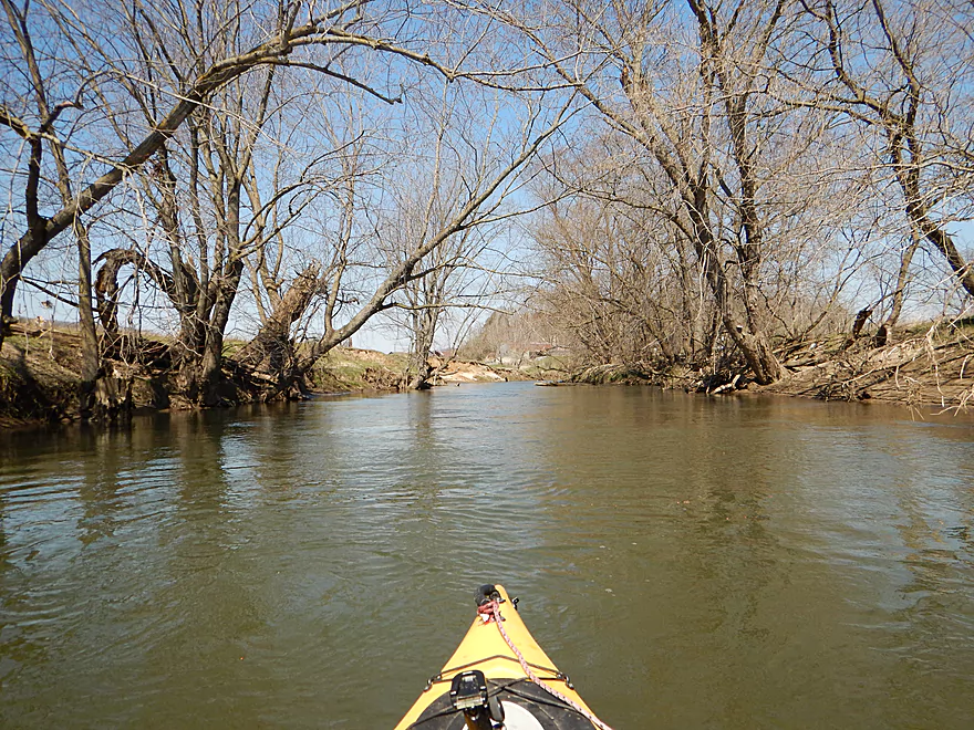
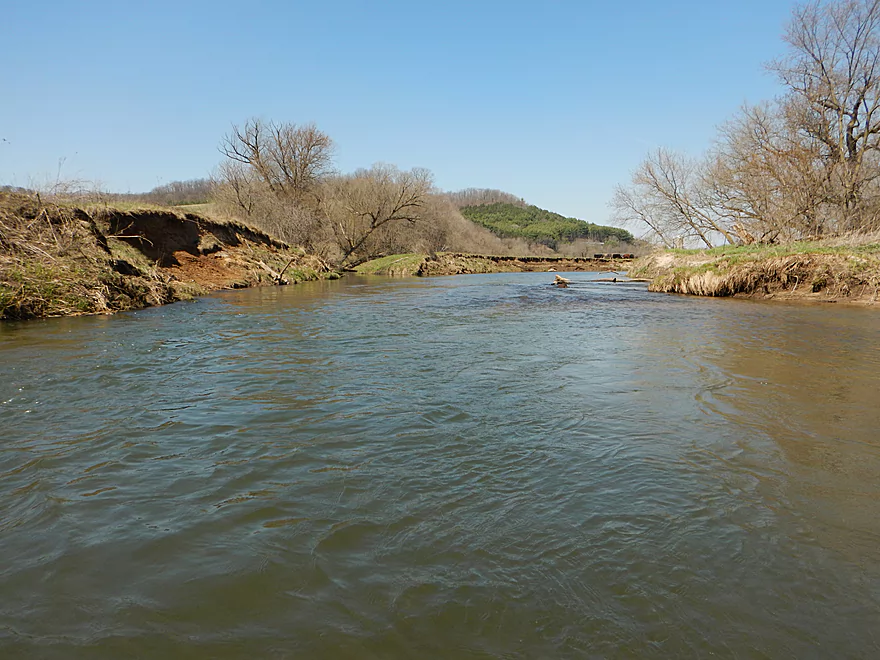
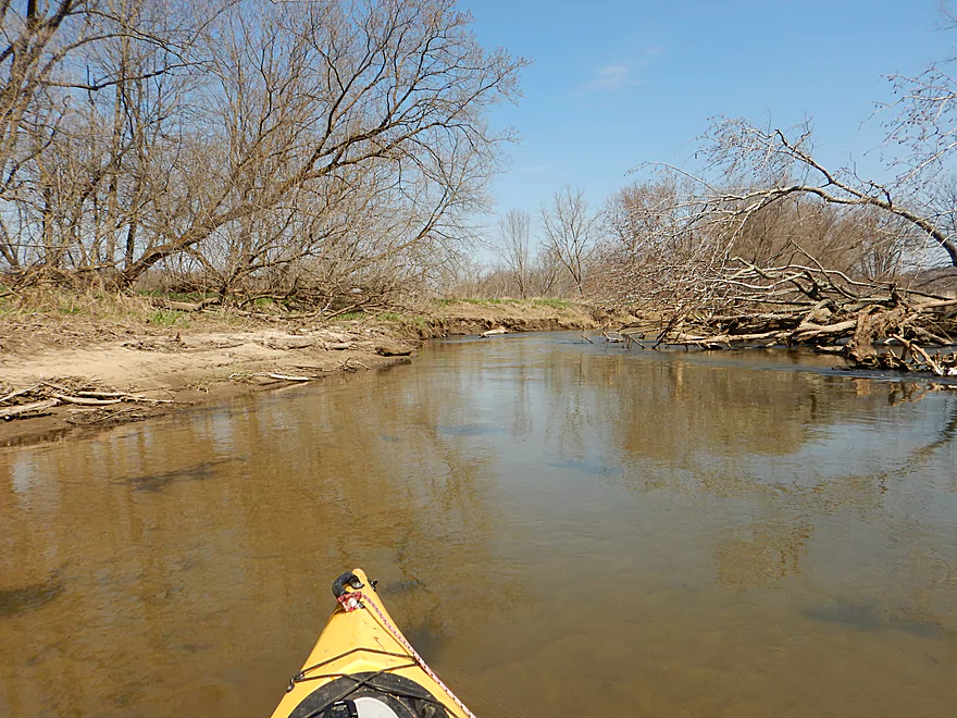
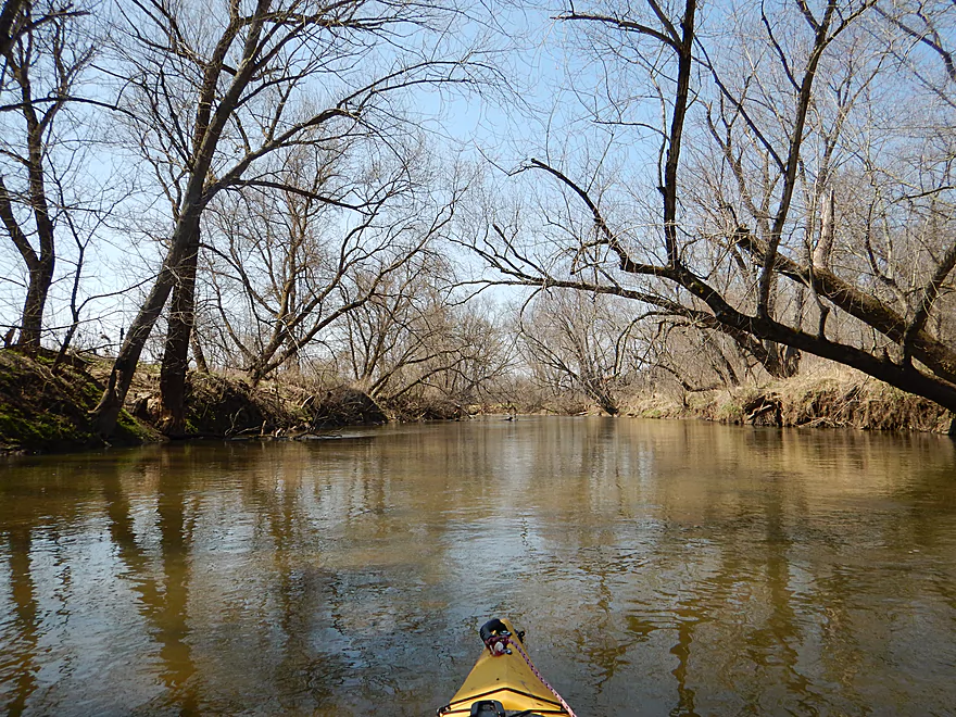
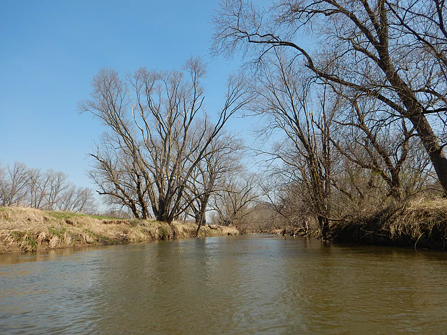
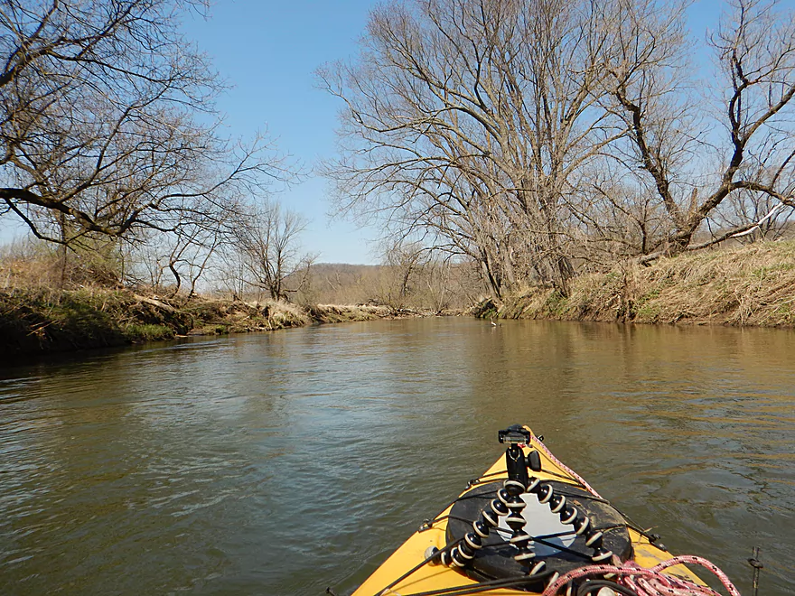
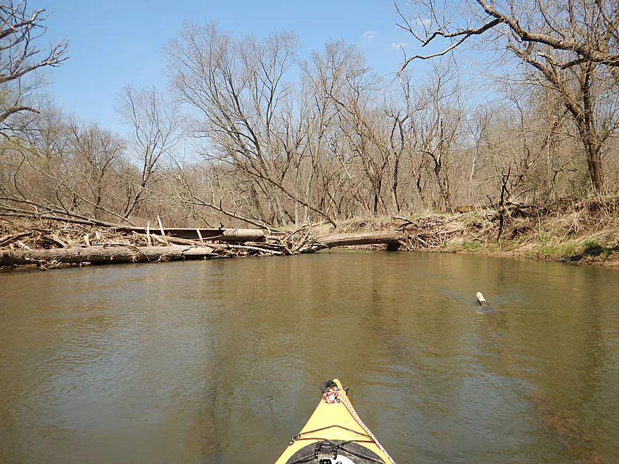
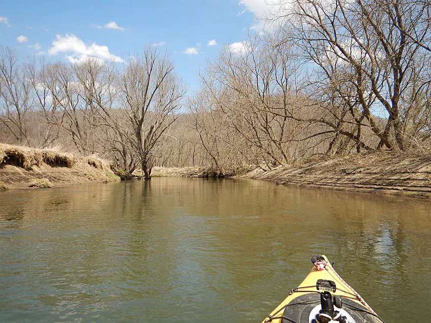
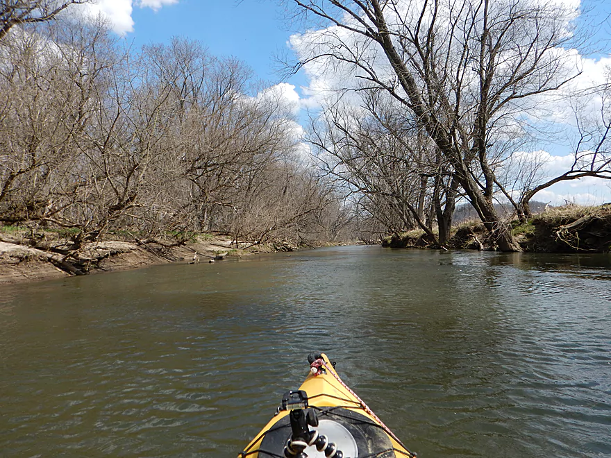
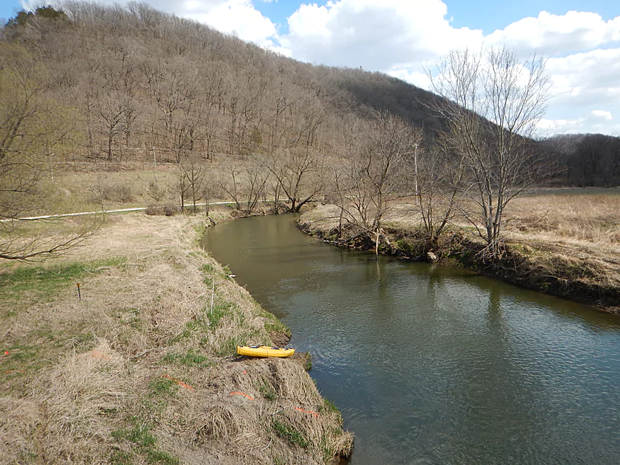
Looking upstream
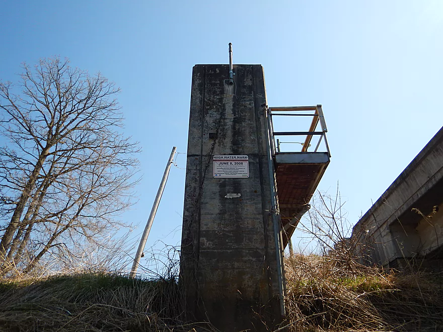
The high water mark from 2008
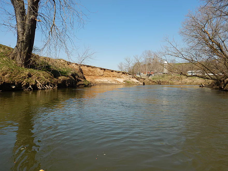
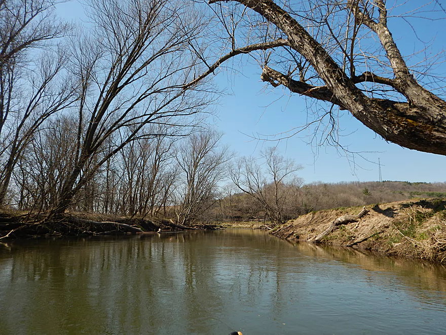
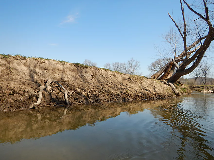
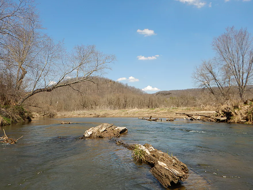
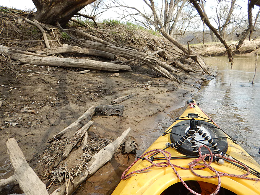
Erosion is an issue…
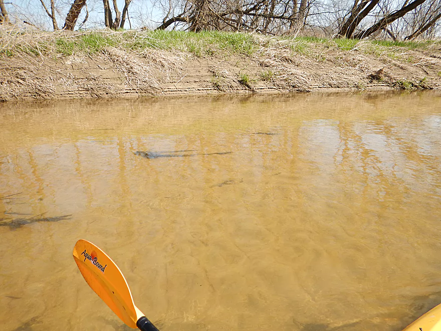
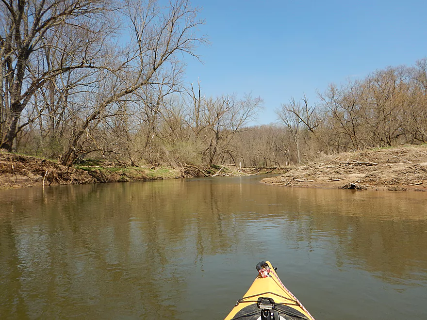
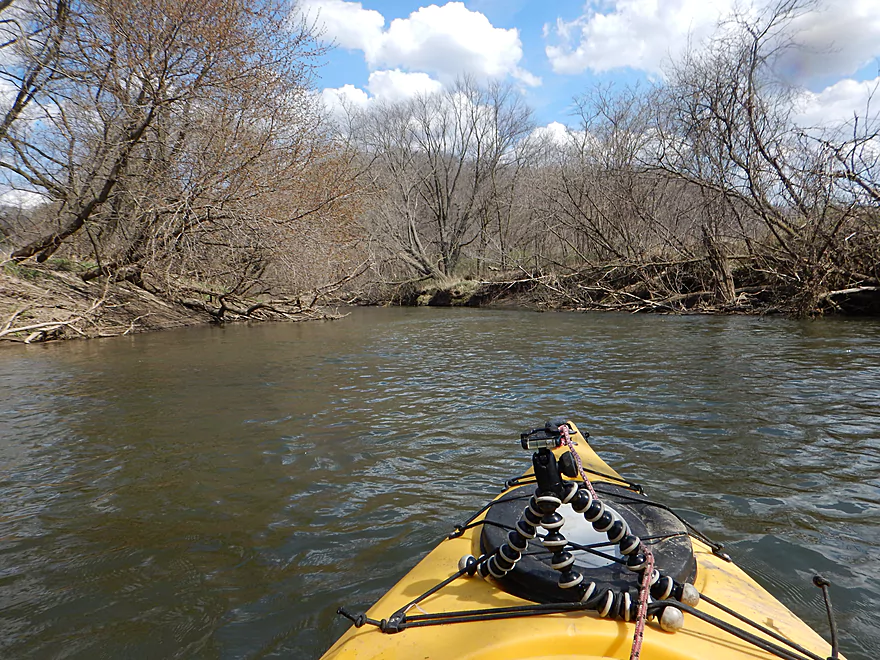
Some surprisingly clear areas
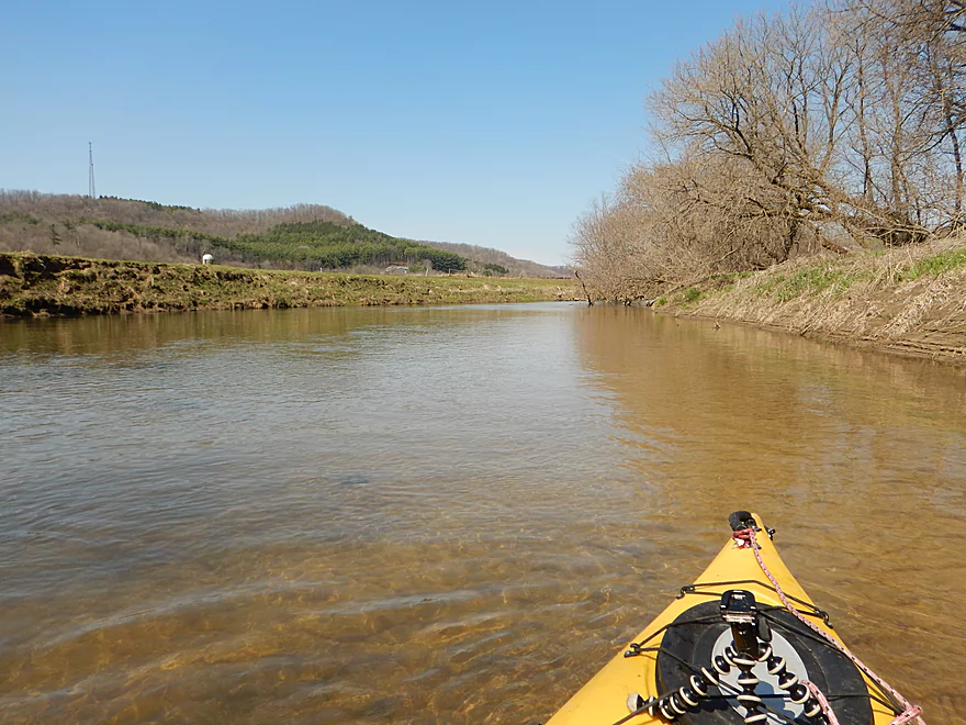
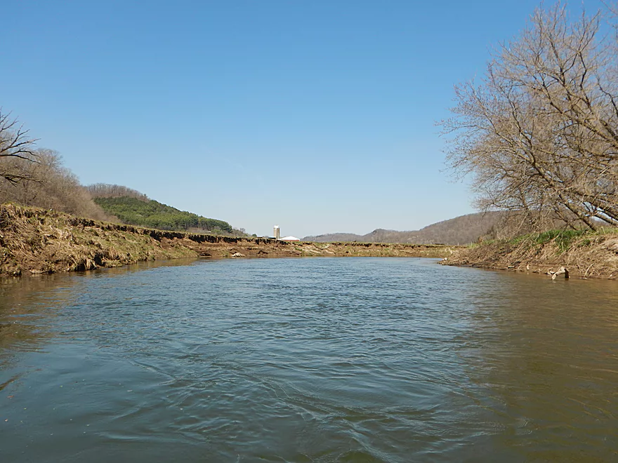
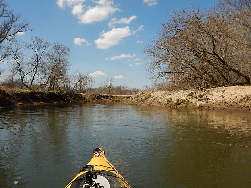
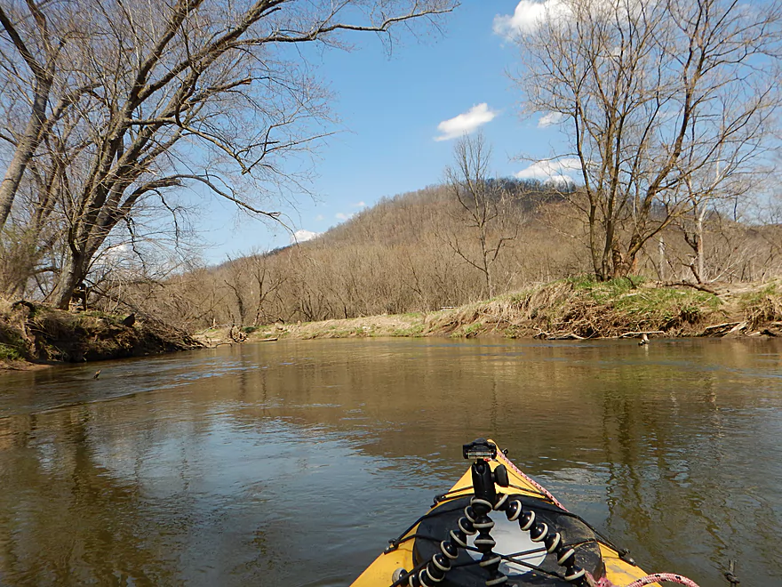
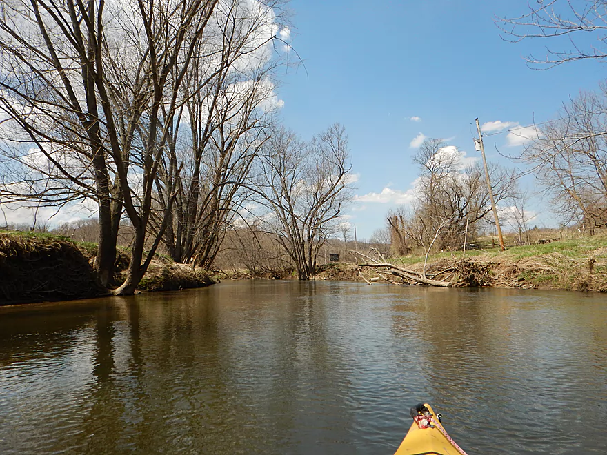
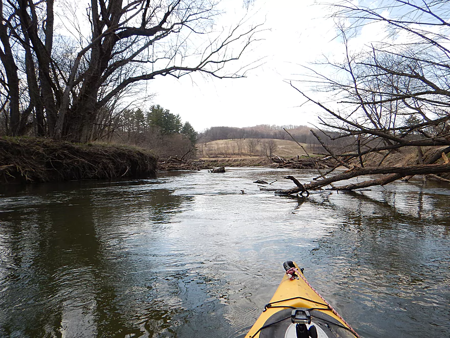
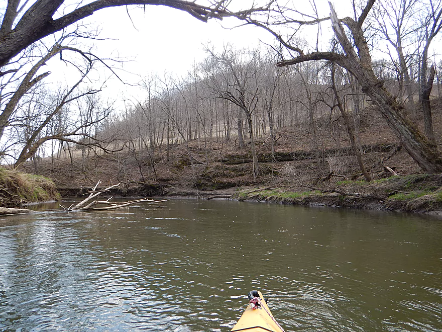
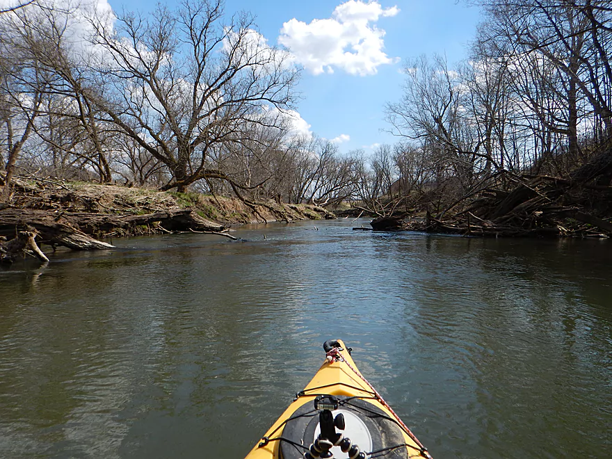
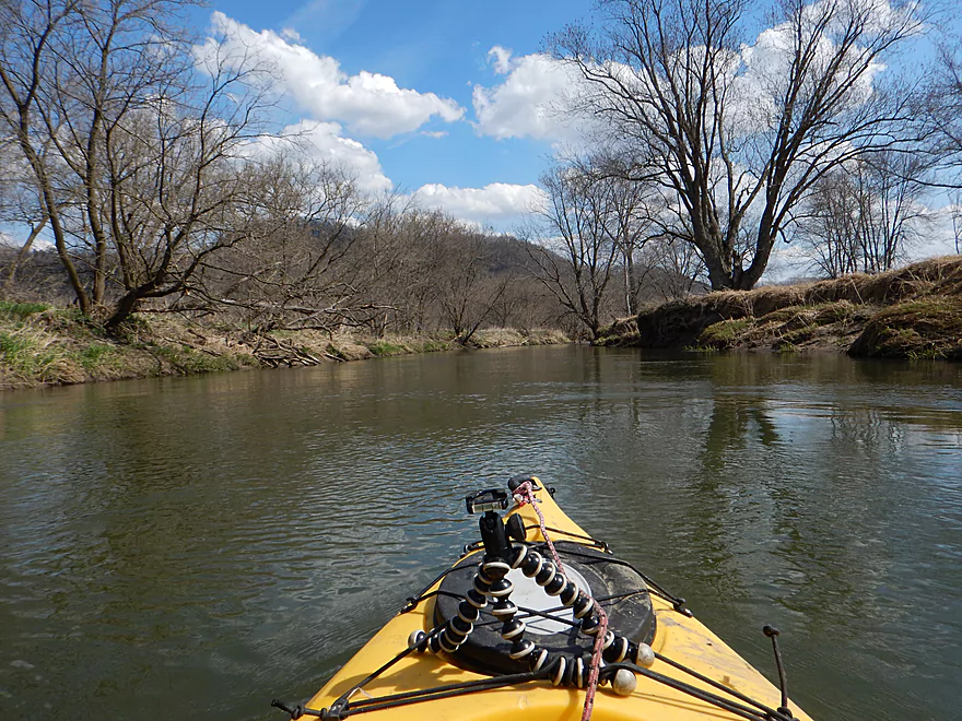
This section frequently has nice vistas of the surrounding hills
Cows are a nuisance on the upper stretch
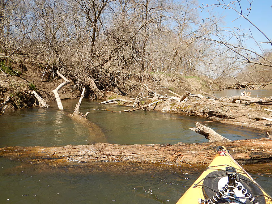
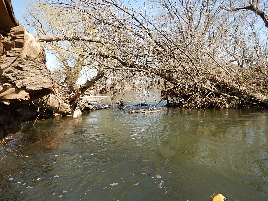
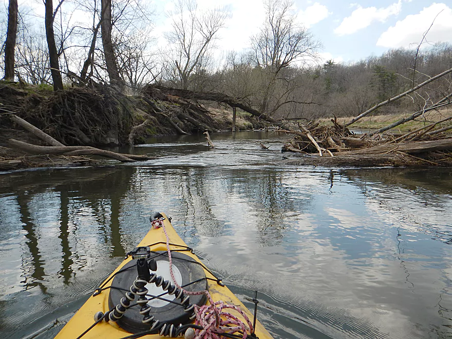
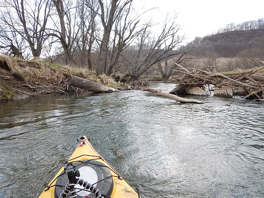
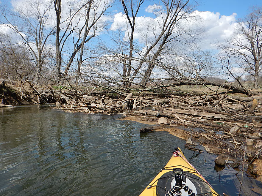
Log jam #1 – I was able to sneak under the tree by the far bank (barely)
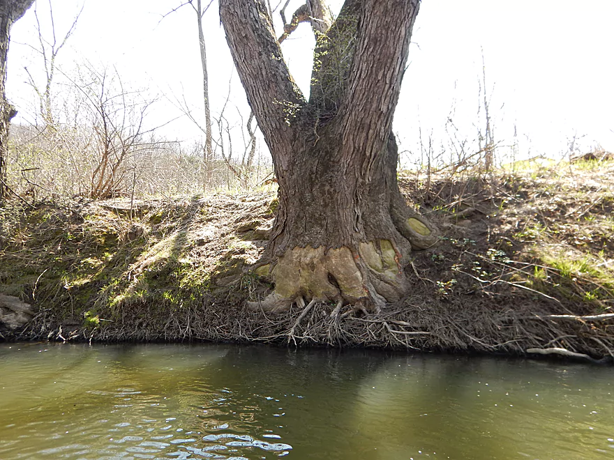
A tree with skinned knees
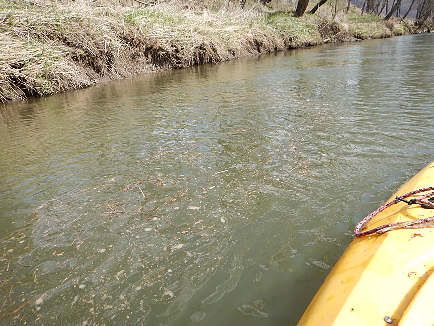
This is a muddy river, but there is still some sand
A tight squeeze, but doable
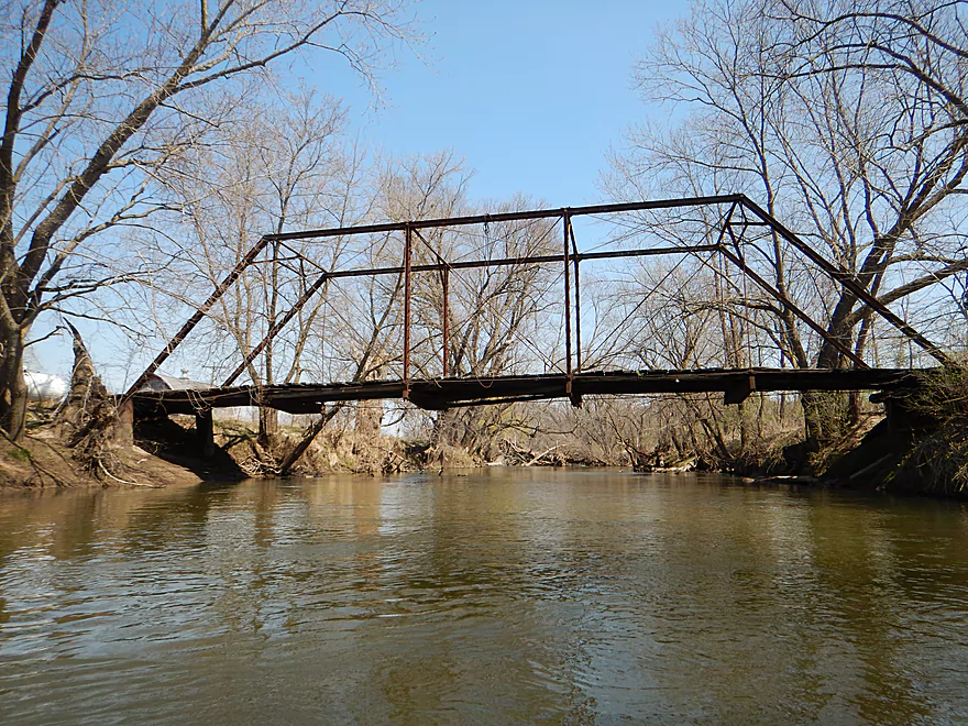
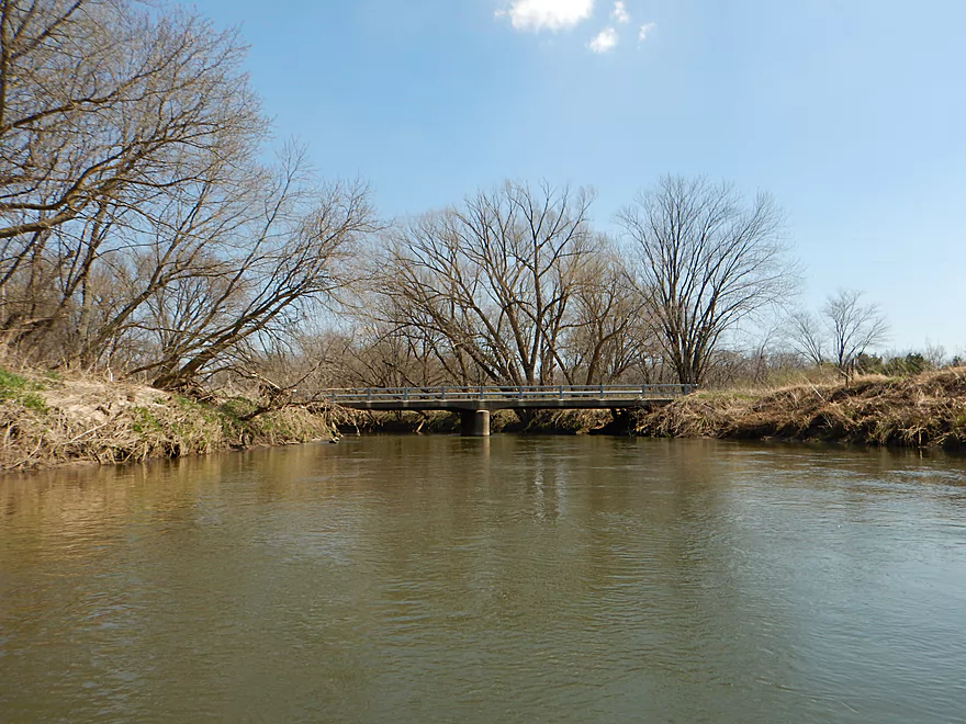
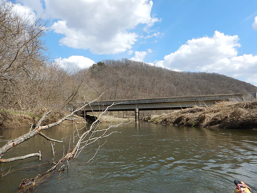
A very rickety road bridge
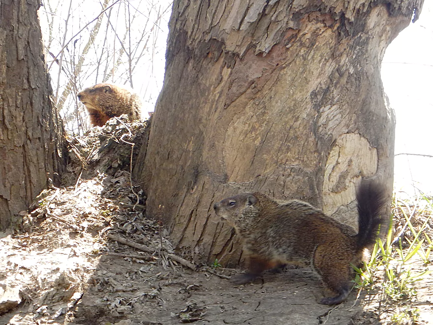
Two squabbling woodchucks
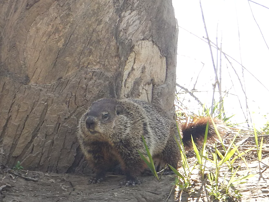
He is not afraid of me!
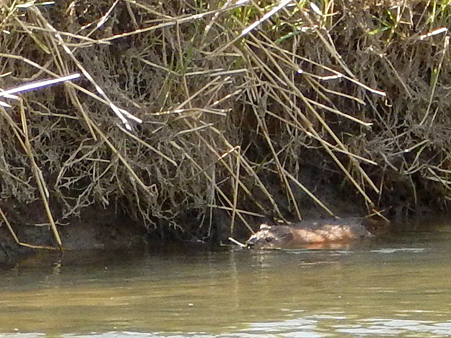
One of several beavers I saw
Log jam #2 – I barely fit under the right side
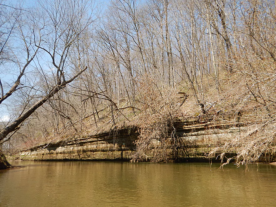
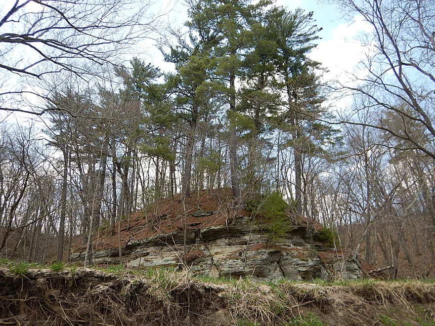
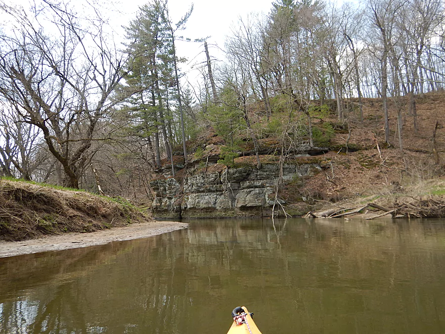
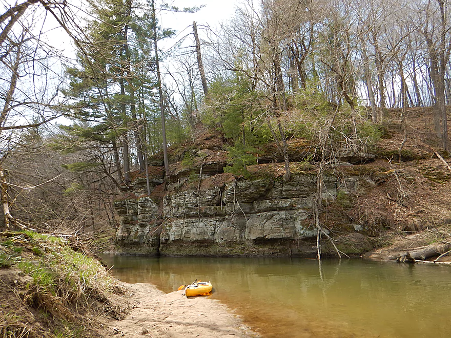
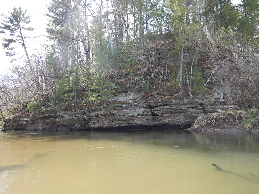
The first rock outcrop
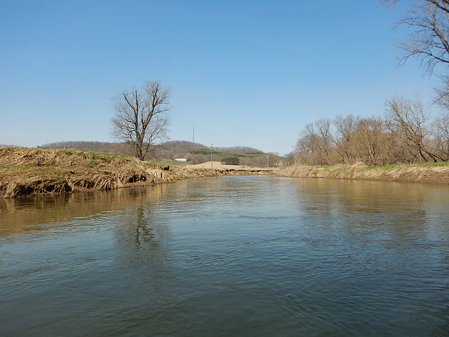
Reverse view
You could launch from Tunnelville Road (not ideal)
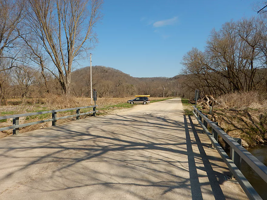
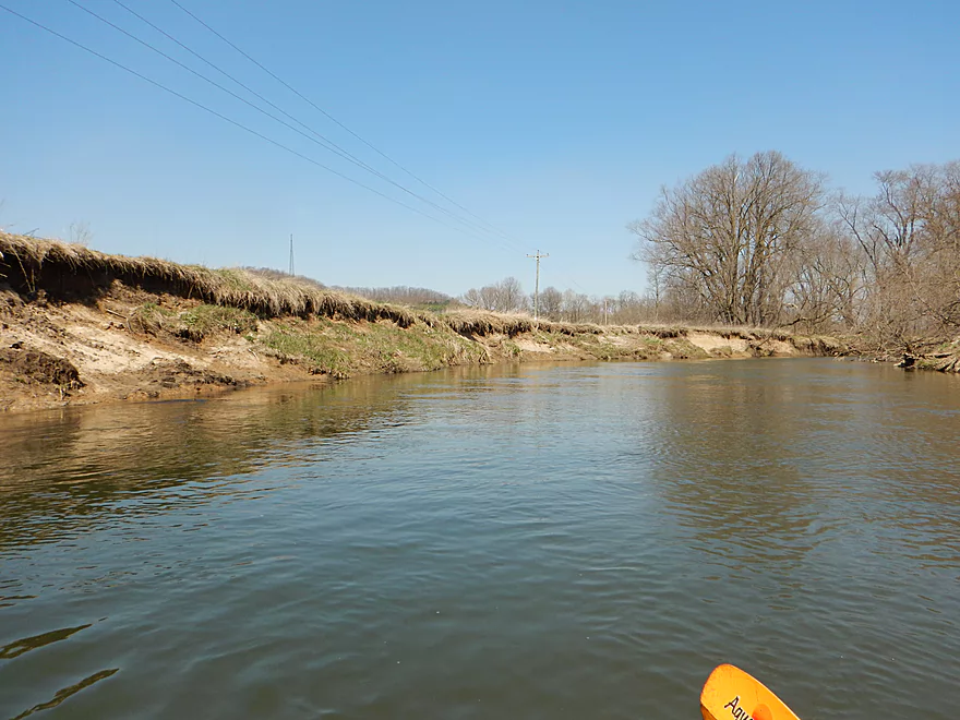
Ok parking if you launch here
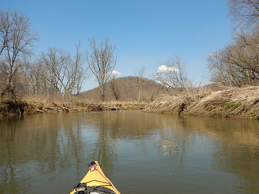
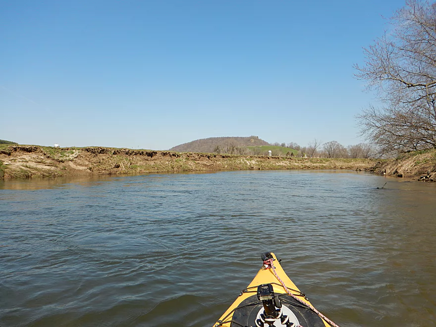
Great view of the Tunnelville SNA
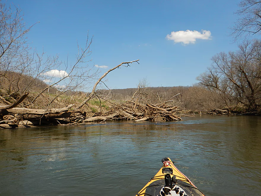
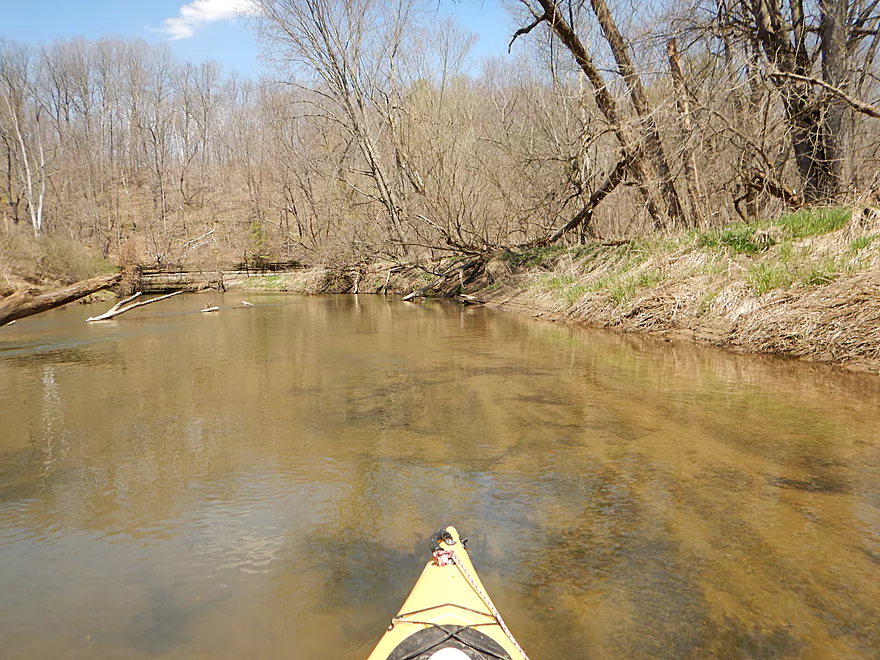
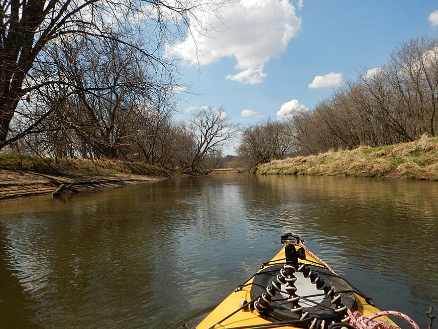
Lot of log debris on the river
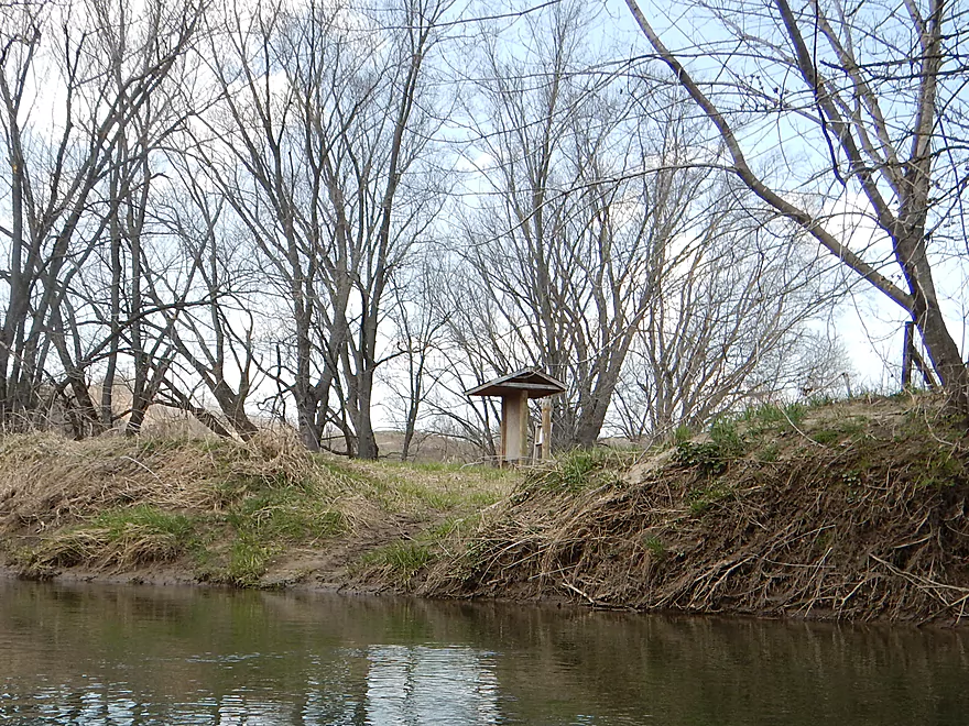
The new Tunnelville canoe landing
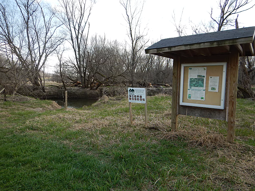
Nice landing
A little bumpy but easy to get over
Oxbow is encroaching on the rock outcrops
Always nice to see white pines
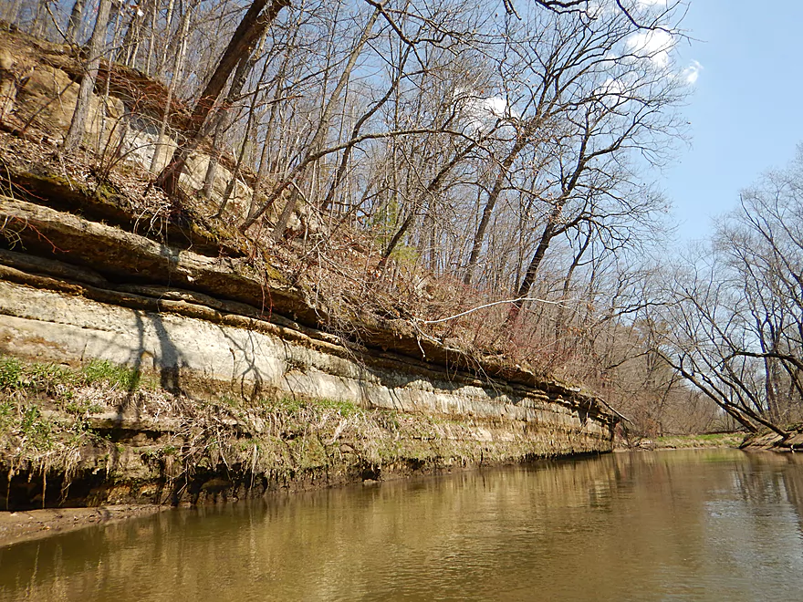
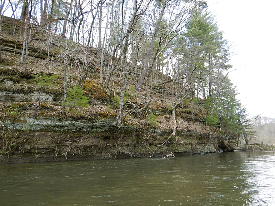
My favorite rock outcrop
Need something for scale…
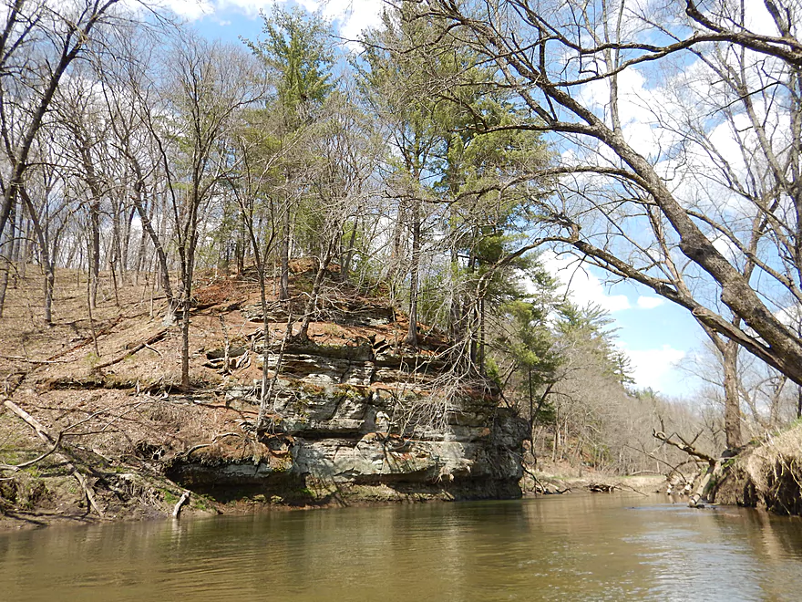
Reverse view
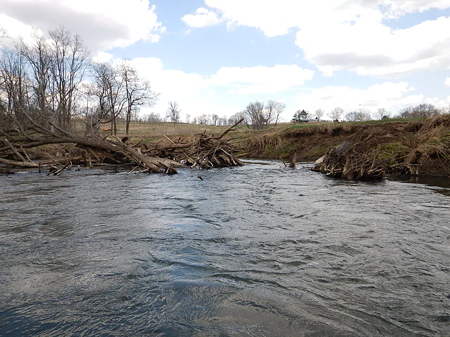
A goat prairie in the background
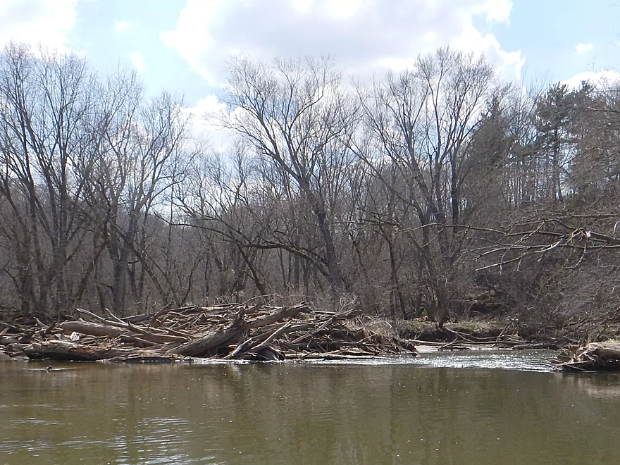
In many cases, flood waters have pushed a lot of debris to the side
Another nice outcrop
Reverse view

Log jam #3 – I barely went over this
It was messy though…
Some log jam rapids
Pretty easy
Log jam #4 – I finally portaged
Easy to do on the sandy bank
Log jam #5 – I barely snuck through on the left side

Log jam #6 – my 2nd portage of the day (also easy)
Hwy 131
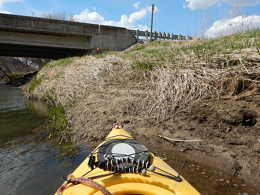
Muddy take-out
Nice view from the bridge
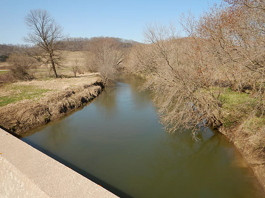
Reverse view upstream
Kickapoo River – Tunnelville Cliffs


So the Kickapoo River is of course a paddling classic in Southern Wisconsin (deservedly so). The main section is from Ontario to La Farge. If you have never paddled the Kickapoo before, then that is where you want to start (here is my previous review). This review is only for seasoned Kickapoo vets looking for a new Kickapoo experience.
While the section north of La Farge is super popular, hardly anybody paddles south of La Farge. Why is this? The liveries have told paddlers that the log jam situation makes this section unfeasible. I was always a bit skeptical of this as liveries tend to exaggerate log jams (especially those that require longer shuttles away from their base) and recently a brand new landing was constructed by Tunnelville suggesting this might be feasible after all.
What makes this section of the Kickapoo distinct is that a large section oxbows into a hidden valley adjoining the Tunnelville Cliffs State Natural Area. This SNA supposedly has nice trails, ice caves, waterfalls and a “goat prairie”, but I didn’t really get a chance to explore this.
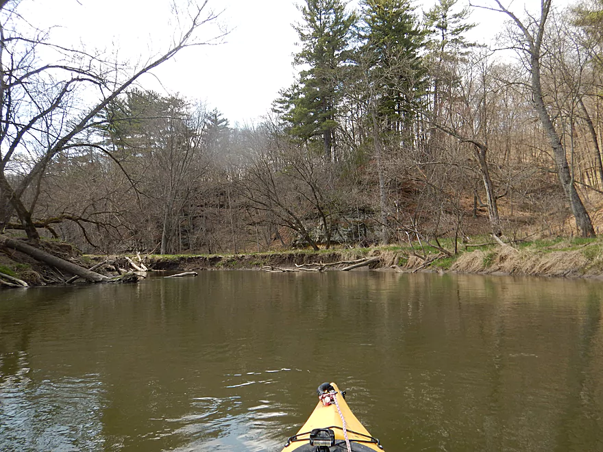
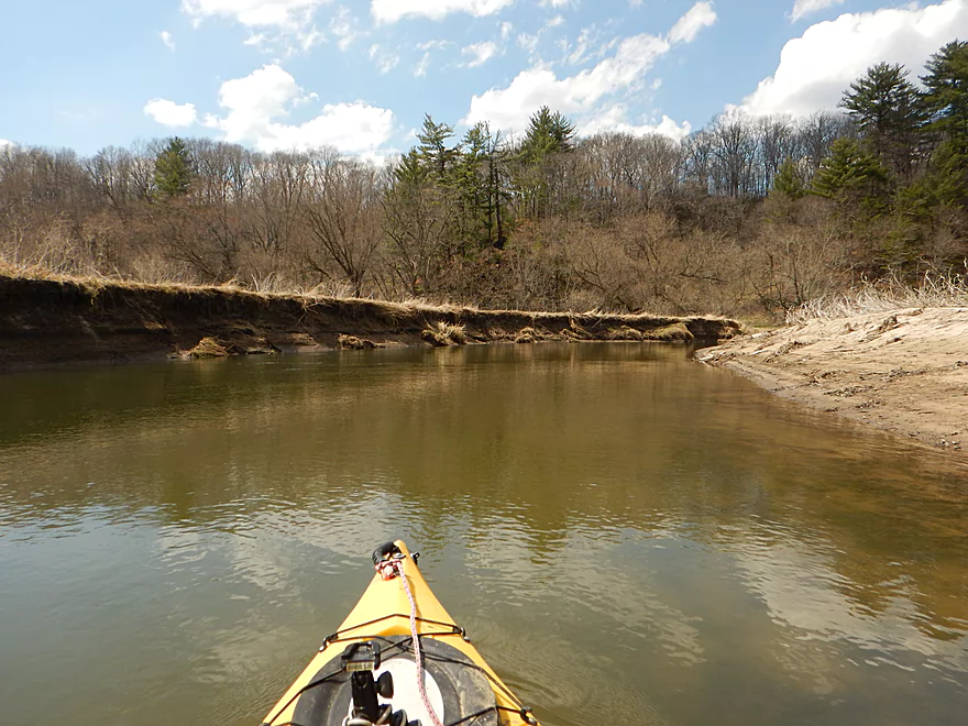
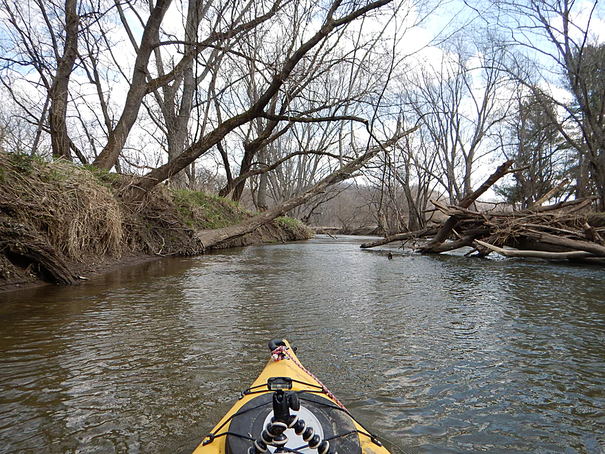
To be clear this section does not compare to the upstream sections. A general rule of thumb for the Kickapoo is that the further upstream you go, the better. By the time you get to La Farge, you are pretty downstream. There are not as many rock outcrops and the bank quality deteriorates significantly. Years of erosion and floods have resulted in steep messy mud banks and runty trees. There is also a lot of debris in the water, which with the sometimes uptempo current will keep you on your toes (there were even occasional riffles).
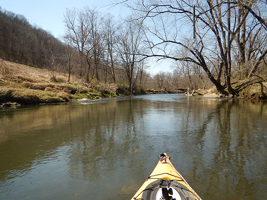
This is still a nice section though. One highlight is the vistas you will see of the surrounding hills as you enter Tunnelville Valley. Very striking, with some hills showing exposed sandstone. The other attractive feature is the riverside rock outcrops. There is a nice one just prior to the intermediate Tunnelville landing and a few nice ones after.
The only downside to the trip are the log jams, which didn’t phase me, but would many others. I’ve marked these on the map. It would not take much effort to completely clear these out and hopefully this can be done in the future.
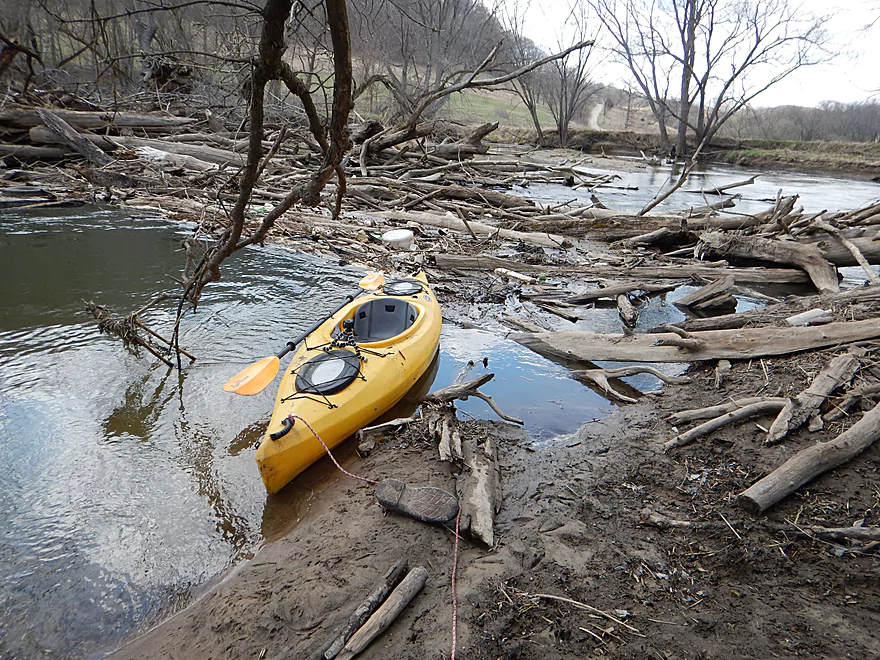
There is a free public canoe launch in La Farge. Good landing with outhouse and parking, but is a tad muddy.
The Hwy 131 bridge is not ideal but is doable. You will have to drag your boat a bit to get past the guardrails and to your car.
Note, this is a six mile trip and you can cut this short by taking out four miles in at the new Tunnelville Landing.
I’m not sure if the main Kickapoo liveries would service this section. I suspect they would, but you will want to confirm this in advance. For a list of Kickapoo liveries, see my previous review on the Ontario Section.
Otherwise this is an easy bike shuttle at only 2.93 miles (the Kickapoo in general is a great bike shuttling river because its squiggly nature means short shuttles).
I heard so many nasty rumors about this section. One rumor said the section from La Farge to Viola had 26 portages (and this section is 40% of that length). Another livery told me a horror story of how big the log jams are and what horrible experiences canoers had.
My experience? I only portaged twice, both of which were easy on sandy banks. That being said though, I’m VERY good at getting through tight squeezes with my small kayak. Most paddlers in bigger boats would have to portage 5-7 times (some of which would be over steep mud banks).
I’ve included pictures and notes on the map, so you can decide for yourself if these jams are too much. More of the jams are in the 2nd part of the trip past the Tunnelville Landing (but so are more of the outcrops). Inexperienced paddlers should not attempt this section regardless of levels because of the current and deadfall, but experienced paddlers will have no problem with this.
This was paddled at an average depth of 220 CFS per the local La Farge gauge. While the upper Kickapoo by Ontario does “run dry” in late summer months, I doubt this section ever gets too low to run. You don’t want to run this when the river is high. The Kickapoo has a bad reputation for floods and high water. With the amount of deadfall in the water and the deceptively fast current, high water can create some safety concerns, and I suggest waiting until the river subsides to a more peaceful lower level (like below 300 CFS).
Some geese, two beavers, a snapping turtle, and a deer crossing the river. The highlight was two bickering groundhogs who let me get pretty close (they might have been courting!). Woodchuck sumo is viewable 46 seconds into the main video.
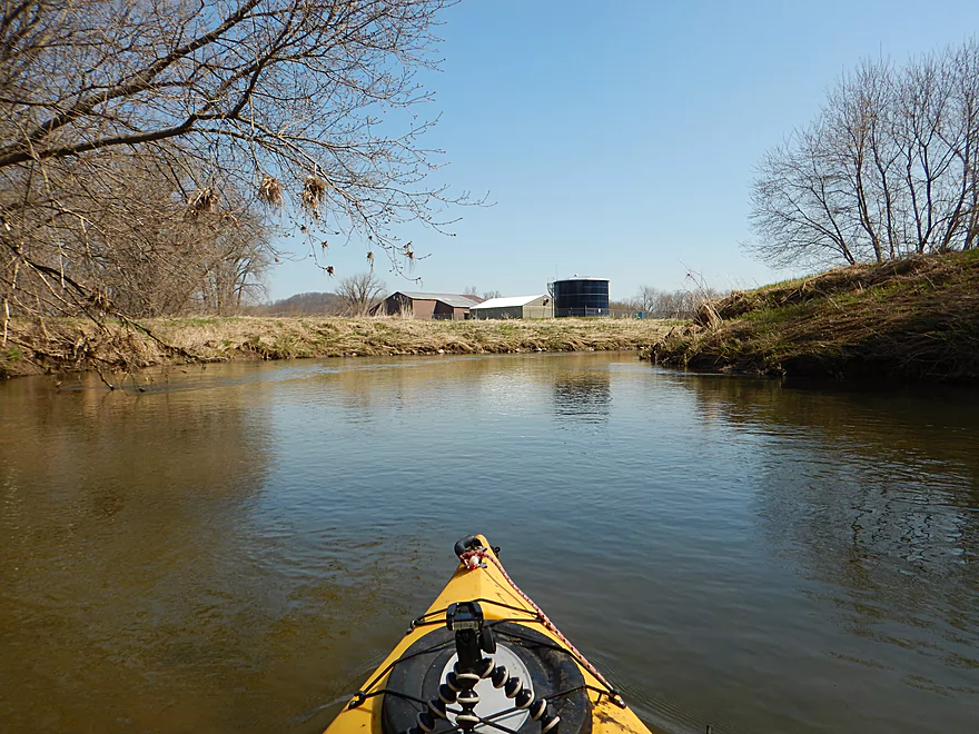
Organic Valley has a factory outlet in La Farge where they sell many organic dairy products you normally don’t see in stores. They also sell non-dairy organic groceries which is rare to see outside of the big cities. I’ve marked their store on the map (they’re closed Sundays).
The Kickapoo Valley Reserve Visitor Center is also worth checking out. Part nature center and part museum, the visitor center does a good job of providing a background on the Kickapoo River and its unique history (they’re also closed Sundays).
Lastly, there is of course Wildcat Mountain State Park. The highlight is an outstanding overlook with a great view of the river. The park has great trails, camping options, ice caves and at least one waterfall I’ve seen. Definitely worth checking out if you haven’t seen this before.
Quick Overview
- Wilton to Ontario: 12 miles. This stretch is seldom paddled, but is cleaner and faster than downstream legs. Those willing to endure weedy bridge accesses and occasional snags will be rewarded with spectacular outcrops. A very underrated part of the river.
- Ontario to Rockton: 13.5 miles. This is the most popular section for kayaking on the river (if not the entire state). Highlights include many spectacular sandstone outcrops. This stretch can easily be subdivided. Shuttle services are plentiful, but this leg can get crowded and noisy during summer weekends.
- Rockton to La Farge: 11 miles. This is the second most popular stretch of the river. While the outcrops here aren’t as numerous as the Ontario leg, they do tend to be larger and more impressive.
- La Farge to Mouth: ~90 miles. After La Farge there are few rock outcrops and the river becomes much less interesting. The Lower Kickapoo is a generic hardwood floodplain that is at best a mediocre paddle.
- Tributaries:
- Kickapoo River – West Fork: While lacking the outcrops of the main branch and a bit shallow in spots, this is a very underrated river with many fun rapids.
- Billings Creek: I actually like this creek better than the main river itself. There are just as many outcrops, and the water and banks are much cleaner.
- Tainter Creek: While not very big and lacking in outcrops, it’s still a cool creek with very swift current.
Detailed Overview
- Upstream from Lincoln Ave: The river is likely too small and degraded by open pasture to have much appeal for kayaking. Although "Kickapoo Springs" (the primary source of the river and a public DNR area) might be interesting.
- Lincoln Ave to Keystone Road: 2.5 miles. The river is small here (likely too small for most paddlers) and more scruffy with fewer outcrops. Figure 1-2 logjams and 3 outcrops. Several of the Elroy-Sparta Trail bridges over the river are quite scenic/rustic. High water will be required to do this stretch.
- Lincoln Ave to Hwy 131 (East of Midge Road): 6.3 miles.
- Lincoln Ave to Hwy 71: 1.6 miles. Section includes five outcrops, including one really nice one. River is shallow here with many Class 1 rapids. There is one strainer that has to be portaged, but no other logjams. I encountered a bull on this stretch (here) which might be a deal breaker for most paddlers. You could possibly portage around the farm in question along the Elroy-Sparta Trail but it would be a long and difficult portage.
- Hwy 71 to Wilton Campground/Library: 0.7 miles. A nice stretch with ~3 mediocre outcrops and one really nice one. Water clarity is stunning here. There is a low tree that requires some tight ducking to get under.
- Wilton Campground/Library to Hwy 131 (by Posey Creek): 1.4 miles. Less attractive stretch but still ~4 mediocre outcrops. There is a serious logjam by Water Street that must be portaged.
- Hwy 131 (by Posey Creek) to Hwy 131 (by Mica Rd): 1.3 miles. A terrific stretch with scenic pine trees, several mediocre outcrops and one fantastic sandstone outcrop.
- Hwy 131 (by Mica Rd) to Hwy 131 (East of Midge Rd): 0.7 miles. More of a scruffy stretch, but still a few mediocre outcrops. The Black Valley hills in the distance are very scenic from this leg.
- Hwy 131 (East of Midge Road) to Hwy 131 (near Nicollet Ave): 4.1 miles.
- Hwy 131 (east of Midge) to Hwy 131 (by Michigan Ave): 0.5 miles. A good leg with one nice set of outcrops.
- Hwy 131 (by Michigan Ave) to Hwy 131: 0.6 miles. Another good leg with 3 outcrops. Some minor rapids, including a 4-6" ledge.
- Hwy 131 to Hwy 131 (by Nisswa Rd): 0.6 miles. One of the best legs on the Upper Kickapoo which features 6 noteworthy outcrops and terrific ice flows in February and early March.
- Hwy 131 (by Nisswa Rd) to Hwy 131 (by Nordale Ave): 1.1 miles. Not as scenic as other legs with messy shorelines and eroded banks. There are still a few nice outcrops.
- Hwy 131 (by Nordale Ave) to Hwy 131 (by Nicollet Ave): 1.3 miles. Another one of the Upper Kickapoo's best legs with ~6 outcrops, including a small natural bridge you can paddle through.
- Hwy 131 (near Nicollet Ave) to Ontario: 5 miles.
- Hwy 131 (by Nicollet Ave) to Hwy 131 (Oil City): 2.3 miles. Two long stretches of bluffs contain great outcrops.
- Hwy 131 (Oil City) to Hwy 131 (Kickapoo Wild Adventures): 1.4 miles. Terrific stretch with two major outcrops. One set of Class 2 rapids.
- Hwy 131 (Kickapoo Wild Adventures) to Ontario (Brey Valley Road Park): 1.5 miles. Three sets of outcrops.
- Ontario to Hwy 131/Bridge #4: 3.6 miles. A more open and flatter stretch of the Kickapoo. There are still 3-4 outcrops. This is THE most popular leg on the entire river.
- Bridge #4 to Bridge #7: 6.0 miles.
- Bridge #4 to Wildcat Landing: 3.1 miles. A super popular stretch and the most scenic on the Kickapoo. River flows past steep hillsides and many outcrops (at least 16).
- Wildcat Landing to Bridge #5: 0.9 miles. River opens up a bit, but still has three super sandstone outcrops.
- Bridge #5 to Bridge #7: 2.1 miles. A good stretch with seven major outcrops and one cave.
- Bridge #7 to Bridge #14: 7.7 miles.
- Bridge #7 to Bridge #8: 1.2 miles. From bridge #7 onward, the Kickapoo becomes much less interesting. There are still some good spots though. This stretch has maybe 3 outcrops.
- Bridge #8 to Bridge #10: 2.5 miles. A good stretch with 5-6 outcrops.
- Bridge #10 to Rockton/Landing #12: 1.4 miles. This stretch is more open, and less interesting. But there are still 3-4 mediocre outcrops.
- Rockton to P/Bridge 14 Canoe Landing: 2.4 miles. A scenic stretch with 5 noteworthy outcrops–three of which are huge.
- Bridge #14 to La Farge: 8.0 miles. A great stretch with a covered bridge and 4-5 outcrops...several of which are huge (the largest on the river).
- La Farge to Hwy 131 (by Ski Hill Road): 6.8 miles. Nice section but with a few jams.
- Hwy 131/Ski Hill Road to Viola (Banker Park): 7.0 miles. Maybe 2 bluffs, but mostly open I think. Have been told there are 26 portages between La Farge and Viola, so beware.
- Viola to Hwy 131 - Bridge 1: 5.8 miles. Maybe one outcrop and 14 major logjams.
- Hwy 131 - Bridge 1 to Hwy 131 - Bridge 2: 4.3 miles. Maybe one outcrop and 13 major logjams.
- Hwy 131 Bridge 2 to Readstown Tourist Park: 3.0 miles. Maybe one outcrop and three major logjams. The river grows significantly with the addition of the West Fork.
- Readstown Tourist Park to Soldiers Grove: 6.9 miles.
- Readstown to Hwy 61: 3.1 miles. A surprisingly nice stretch with impressive hills and good current. On the downside there is a lot of tree debris although it is always avoidable. Hwy 61 is not a good access.
- Hwy 61 to Soldiers Grove: 3.8 miles. Not as good as the previous leg with fewer hills, muddier banks, and slower current, but still not bad. The highlights include a few impressive bluffs and two minor rapids in Soldiers Grove.
- Soldiers Grove to Hwy B: 9.0 miles. I doubt there are logjams, but I think this stretch would not be very interesting. The river flows through one of the wider flood bottoms on the river.
- Hwy B to Hwy S: 8.6 miles.
- Hwy B to Gays Mills: 4 miles. Fast stretch with some strainers. Bank quality is poor, but the bluffs are attractive. A dam in Gays Mills slows the last mile of this leg.
- Gays Mills to Hwy S: 4.6 miles. A pleasant but not elite leg with some nice bluff vistas.
- Hwy S to Haney Valley Road: 5.8 miles.
- Haney Valley Road to Taylor Ridge Road: 3.6 miles. Likely an ok prospect. Note, Taylor Ridge Road is aggressively fenced by the local farmer and would be a difficult access.
- Taylor Ridge Road to Steuben Landing: 5.0 miles. A good prospect with likely some nice bluffs. Note, Taylor Ridge Road is aggressively fenced by the local farmer and would be a difficult access.
- Steuben Landing to Hwy 179: 2.9 miles. A mediocre prospect.
- Hwy 179 to Plum Creek Landing: 11.8 miles. A good prospect with nice bluffs.
- Plum Creek Landing to Hwy 60: 6.7 miles. Starts uninteresting with fast current, but features some surprisingly nice bluffs and overall was a decent trip.
- Hwy 60 to Lowell Geitz Memorial Boat Landing: 2.7 miles. This stretch mostly lacks interesting bluffs but does feature wetgrass and floodplain forests as part of the Wauzeka Bottoms State Natural Area.
- Take-out options on the Wisconsin River:
- Lowell Geitz Memorial Boat Landing to Adiantum Woods State Natural Area: 2.5 miles. This is mostly a downstream trip on the Wisconsin River.
Trip Map
Overview Map
Video
Photos Size: