Spring Creek
This is a small tributary to the Wisconsin River near Lodi. Logjams can be an issue though. If these were ever cleared out, this would be a fantastic paddle.
Trip Reports
Lee Road to Riddle Road Bridge
Date Paddled: May 3rd, 2014
Distance: 6.6 Miles
Time: 5 Hours (do the math)
Lodi Marsh is a very nice natural area located a half hour north of Madison. Basically, it is an open valley marsh that is fed with freshwater springs and accumulates into “Spring Creek.” There it in turn flows through the city of Lodi and then eventually into the Wisconsin River at Okee Bay. There is […]
Read More...Riddle Road Bridge to Hwy 113
Date Paddled: May 23rd, 2015
Distance: 5.08 Miles
Time: 4 hours 55 minutes
Spring Creek is an obscure water trail north of Madison. Good water clarity, current and minor riffles but log jams were challenging.
Read More...Lodi Spring Creek Fishery Area to Lake Park
Date Paddled: May 18th, 2013
Distance: 2 Miles
Time:
This is a very nice creek that starts near the town of Lodi and empties into the Wisconsin River close to (and across from) the city of Merrimac. Spring Creek itself primarily starts in a marsh southwest of Lodi (which would be a nice kayak spot if there were access). It then winds through town […]
Read More...Overview Map
Detailed Overview
- Upstream of Lee Road: There really isn't much to paddle (the creek starts as a natural spring).
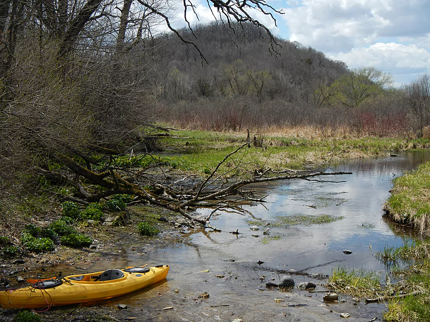
- Lee Road to Hwy Y Side Channel: 1.4 miles. A nightmare tangle of logjams. Not recommended (reviewed May 2014).
- Hwy Y Side Channel to Riddle Road: 6.6 miles. Scenic wetland paddle with multiple natural springs, but probably 5 logjams (reviewed May 2014).
- Riddle Road to Pleasant Street: 0.7 miles. A frustrating wooded section because of 10 logjams (reviewed May 2015).
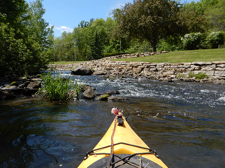
- Pleasant Street to Fair Street/Sanitation Plant: 1.1 miles. Very scenic part through downtown Lodi with some fun rapids and no logjams (reviewed May 2015).
- Sanitation Plant to Hwy J: 1.1 miles. Attractive paddle, but ~7 logjams (reviewed May 2015).
- Hwy J to Hwy 1131st: 1.0 miles. More of an open grassland paddle with no logjams but a few low fences (reviewed May 2015).
- Hwy 1131st to Hwy 1132nd: 1.3 miles. A frustratingly muddy section with many downed tree and three major logjams (reviewed May 2015).
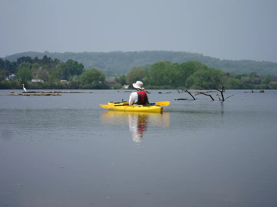
- Hwy 1132nd to Hwy K Landing: 2.1 miles. Surpsingly nice and attractive wooded section but there will be a serious logjam or two to deal with. Trips ends on Okee Bay (reviewed May 2013).