
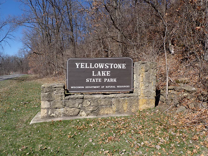
Welcome to Yellowstone Lake State Park
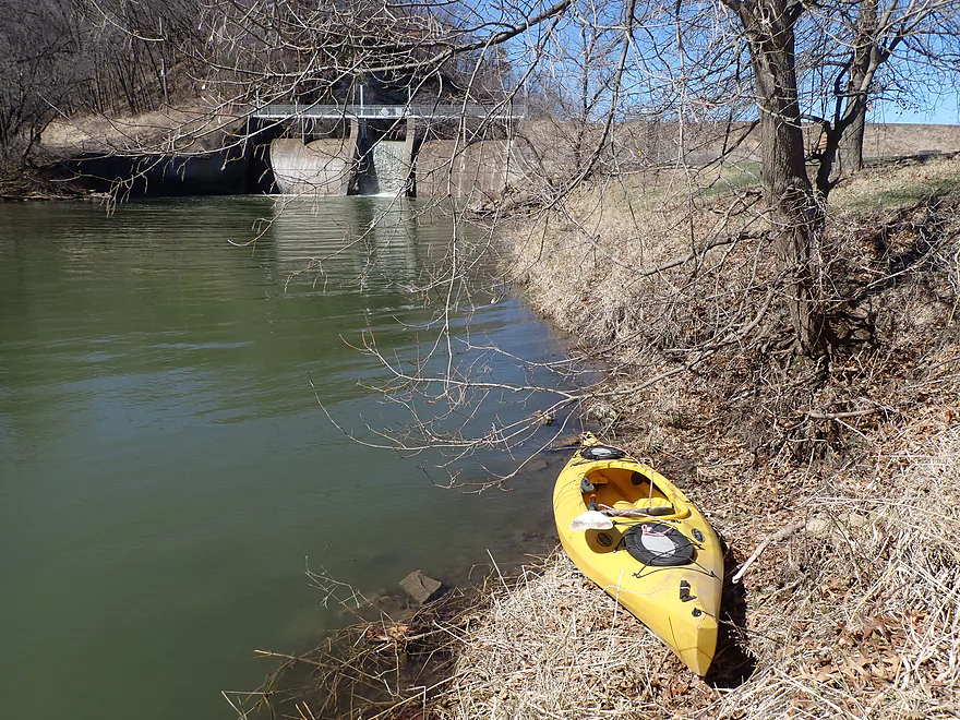
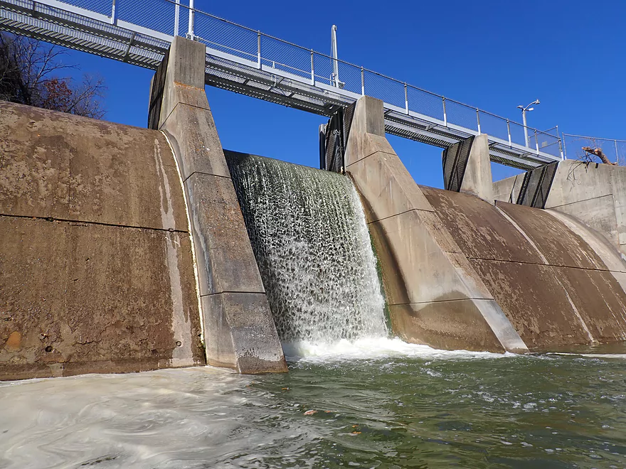
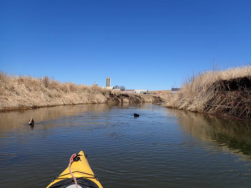
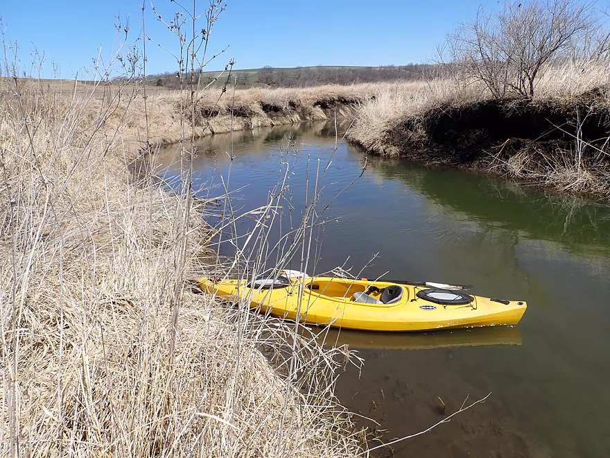
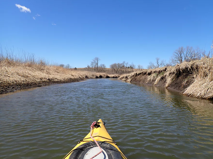
Putting in below the dam
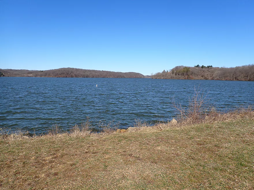
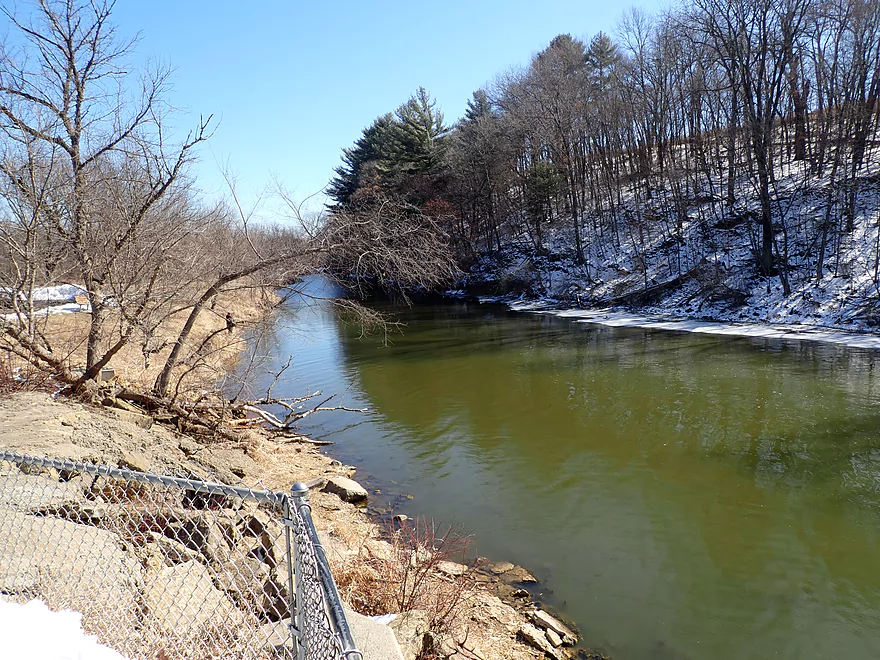
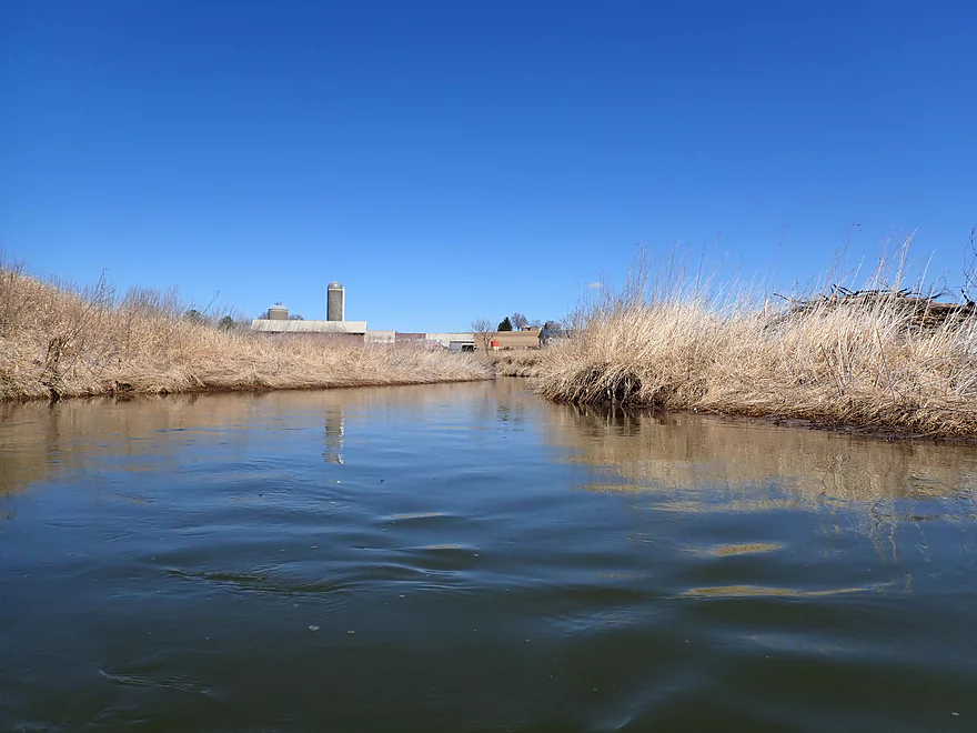
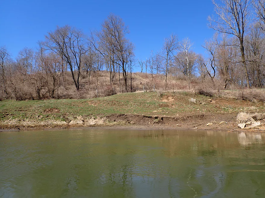
View of Yellowstone Lake (above the dam)
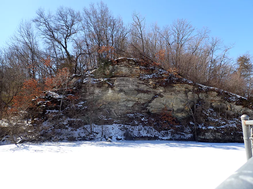
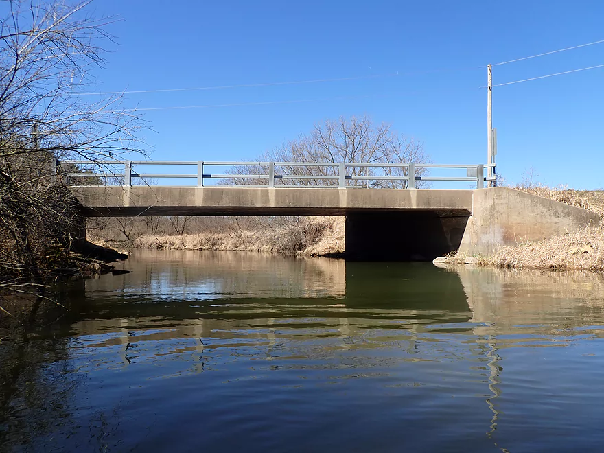
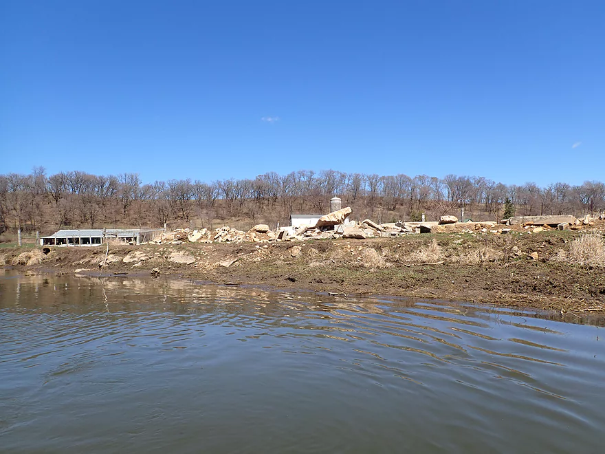
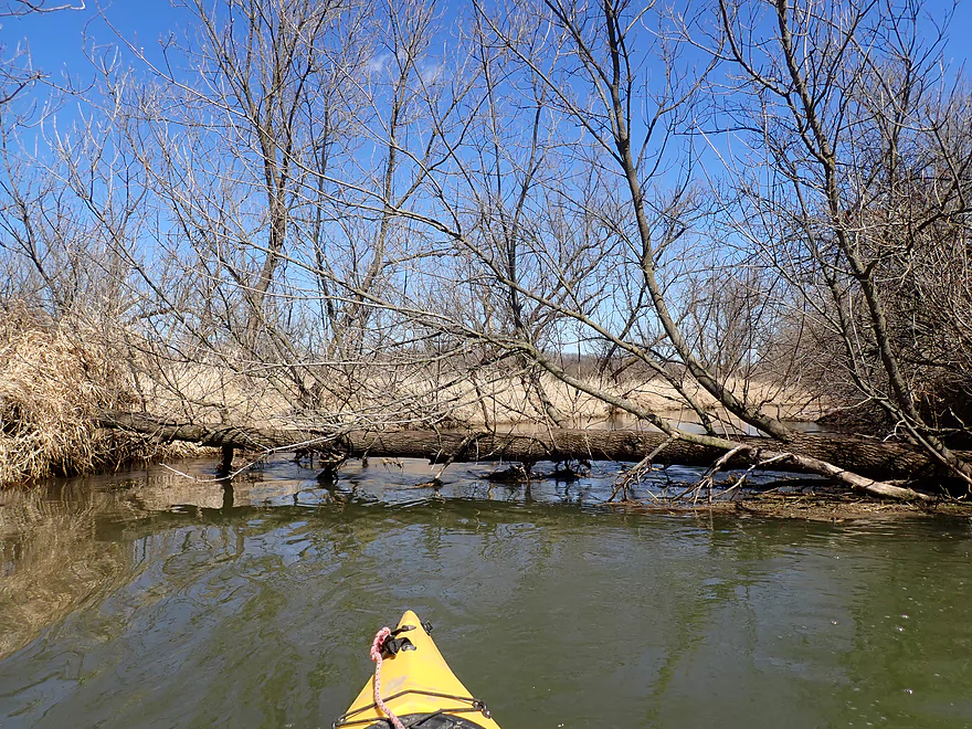
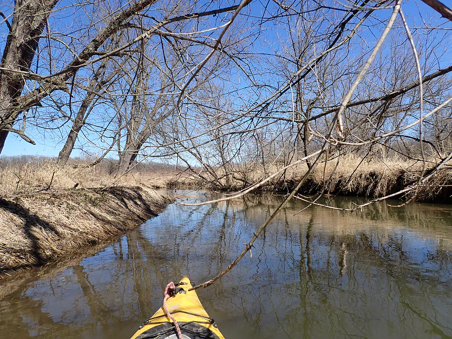
Nice outcrop overshadows the dam
I just missed photographing a large fish going over the dam
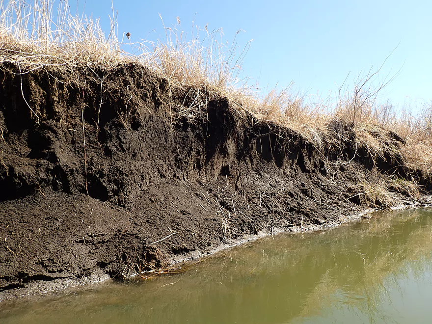
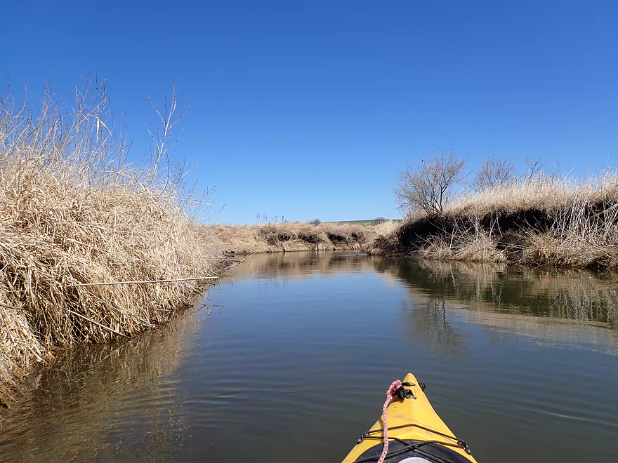
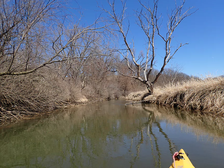
Nice bluff along the south edge of the river
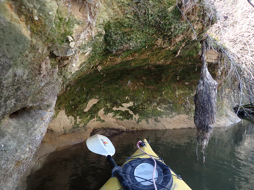
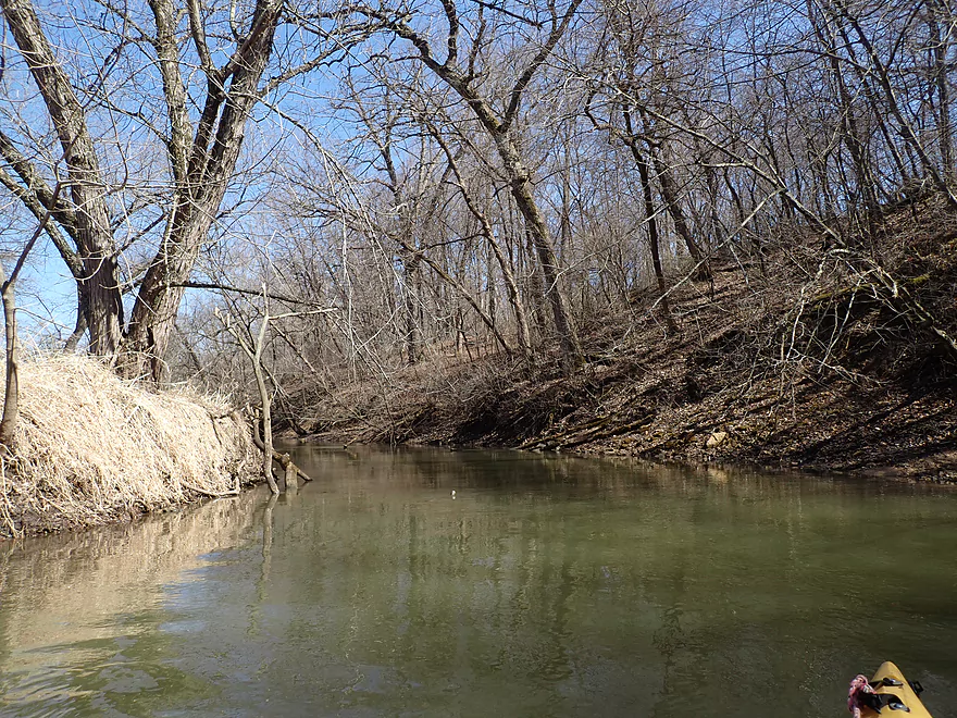
Small cave/outcrop on the south shore
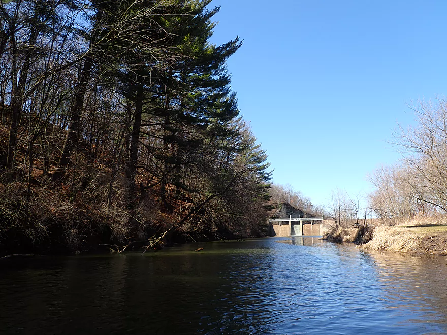
Reverse view
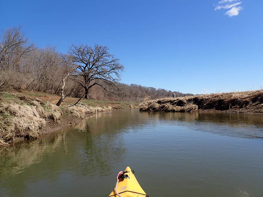
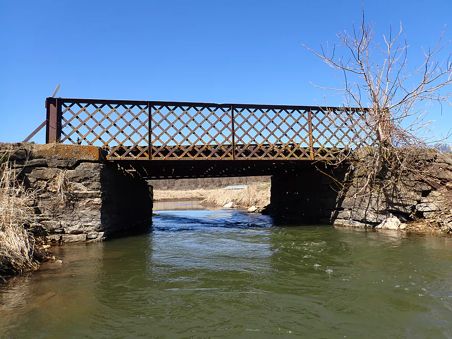
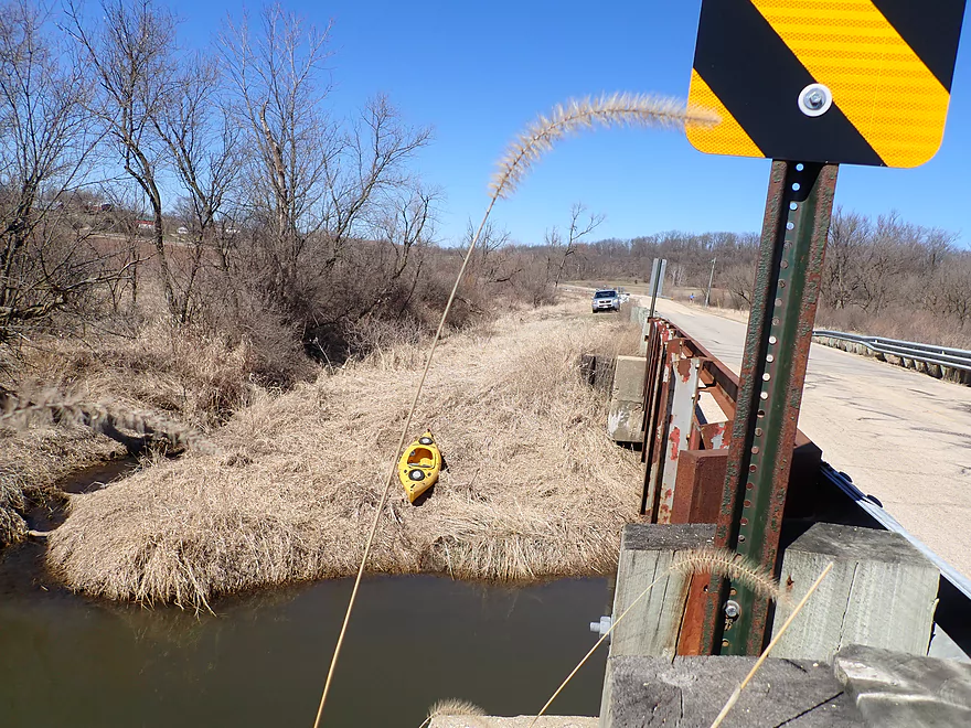
S. Lake Road
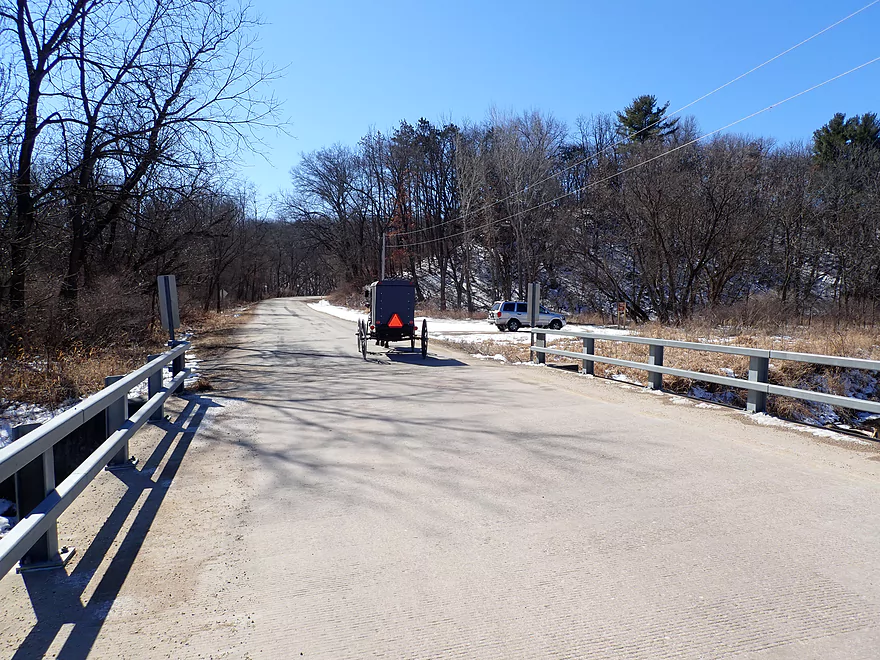
This is an ok access…public parking lot is located to the south
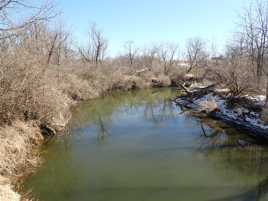
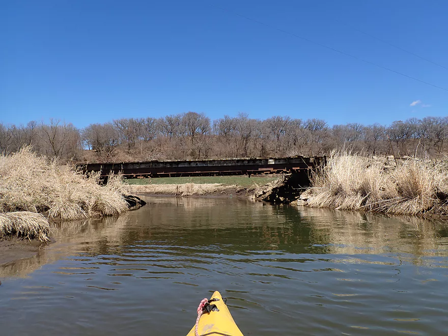
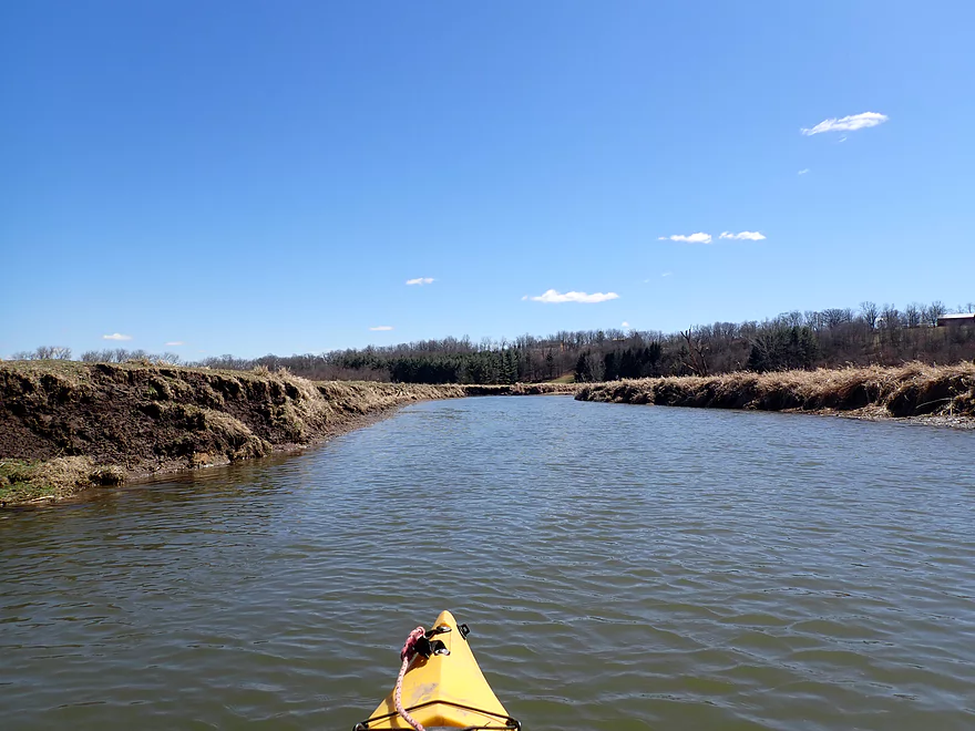
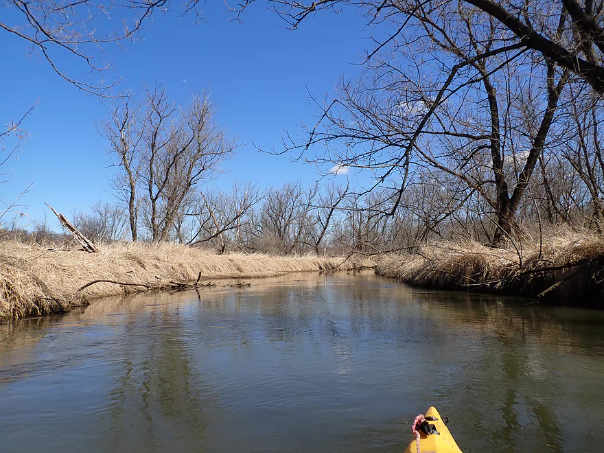
View from bridge
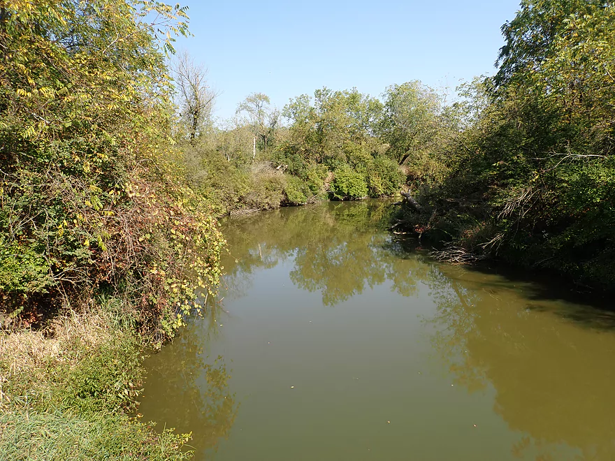
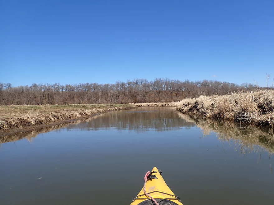
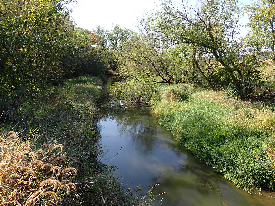
Same view but in summer (much more overgrown)
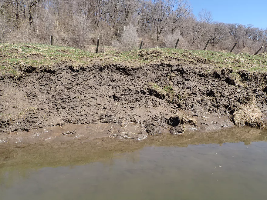
Mud banks can be an issue on the river
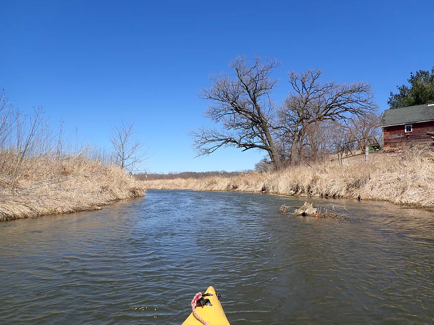
Last of the woods
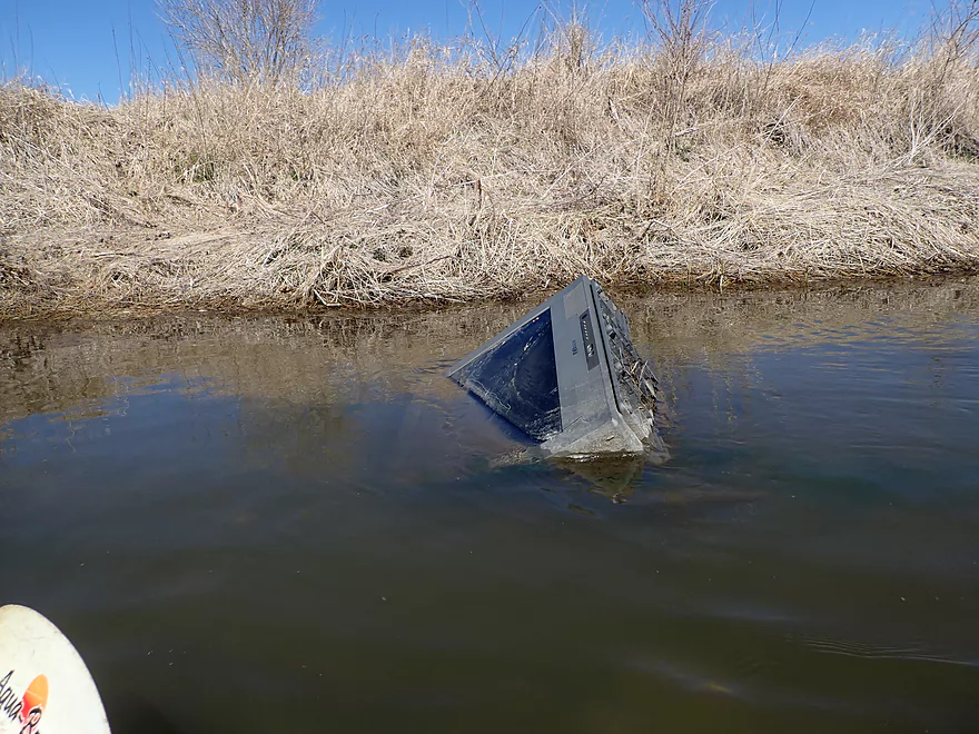
That doesn’t belong here…
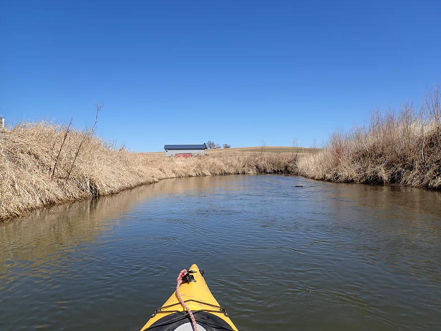
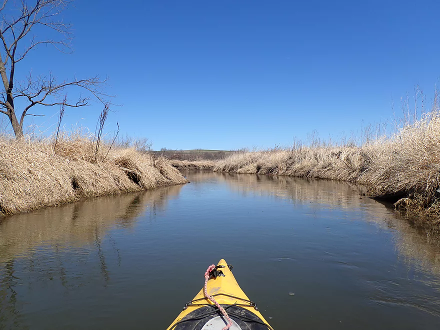
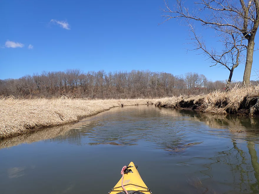
Nice open vistas
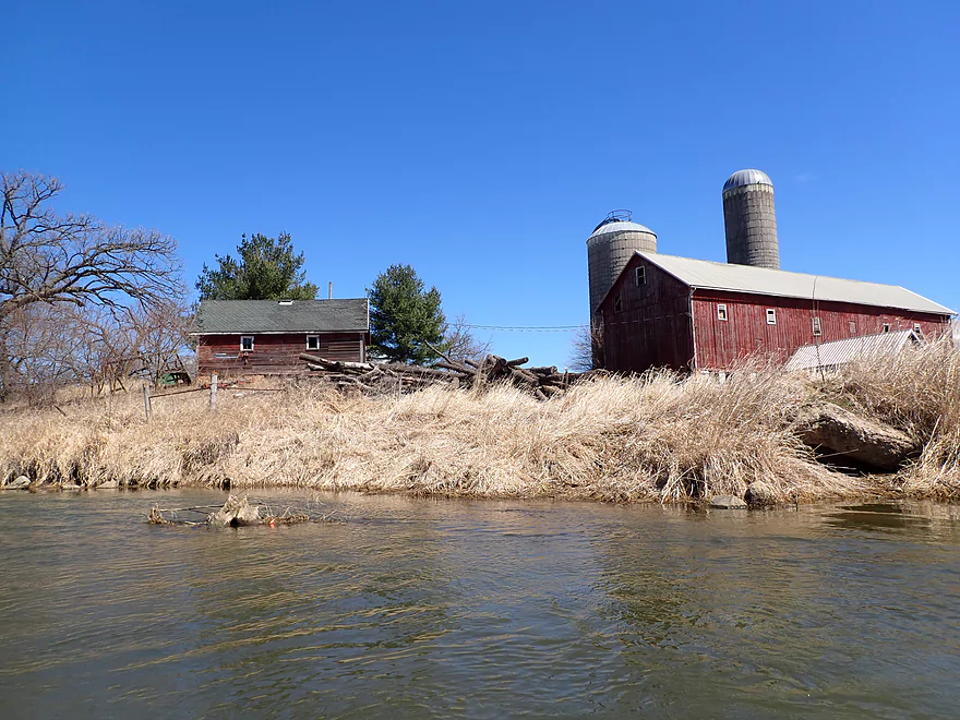
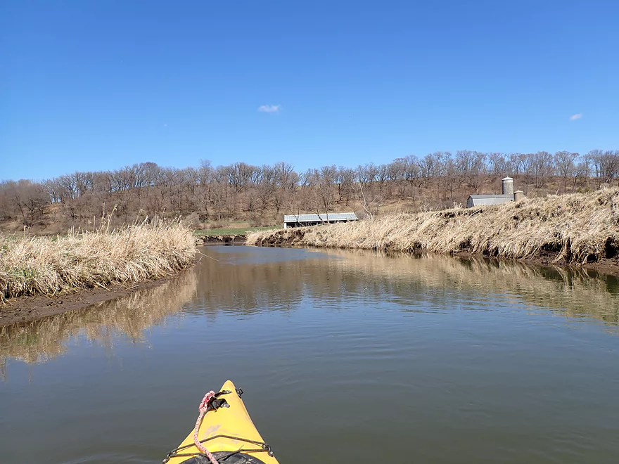
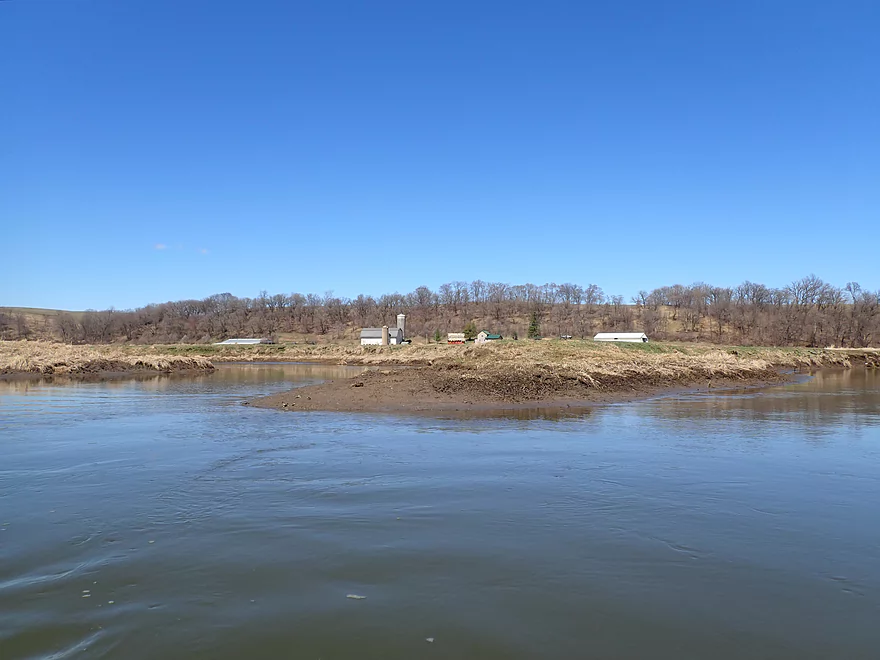
One of several farms
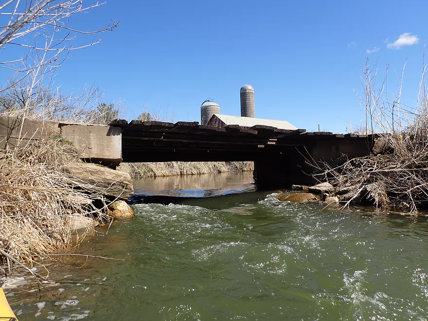
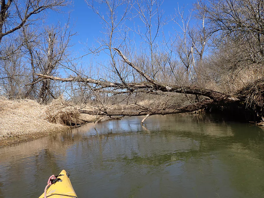
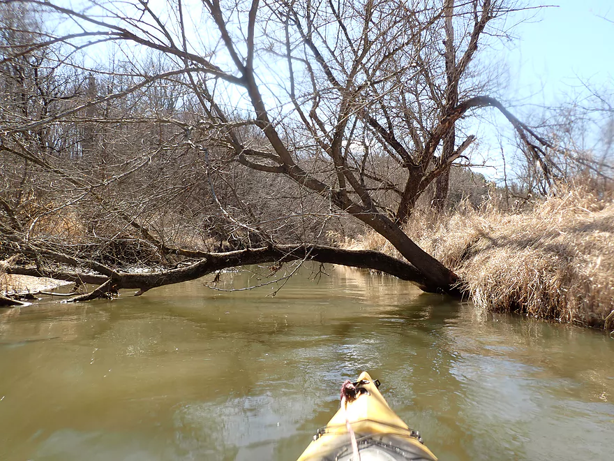
Very low bridge + light rapids = trouble
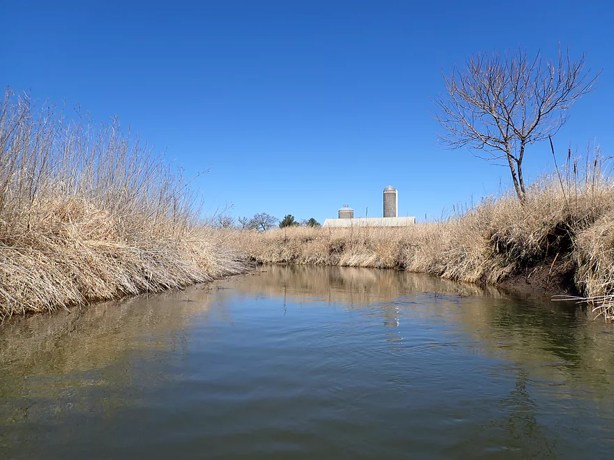
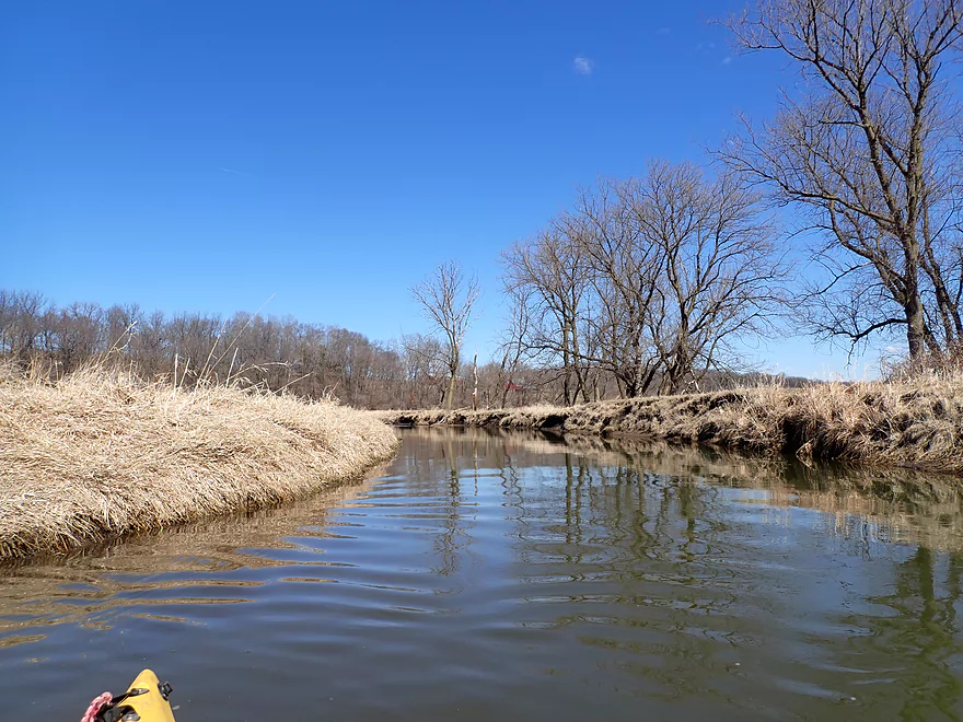
Nice view
In the summer you would just see corn above the grass
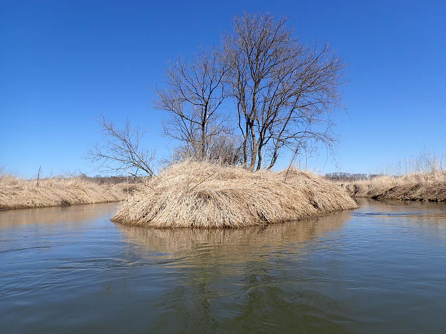
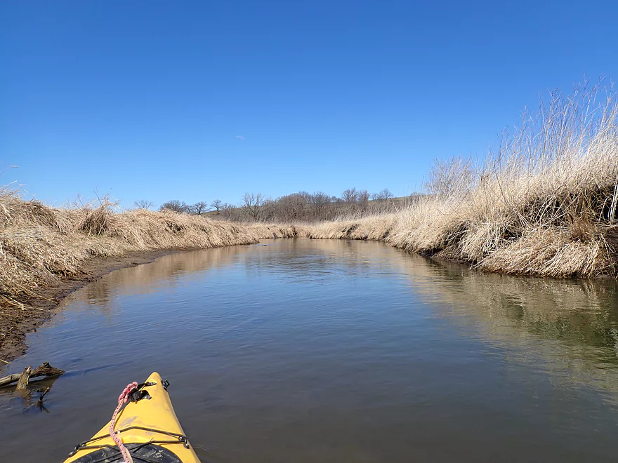
Lots of oxbows
Losing the cornfields
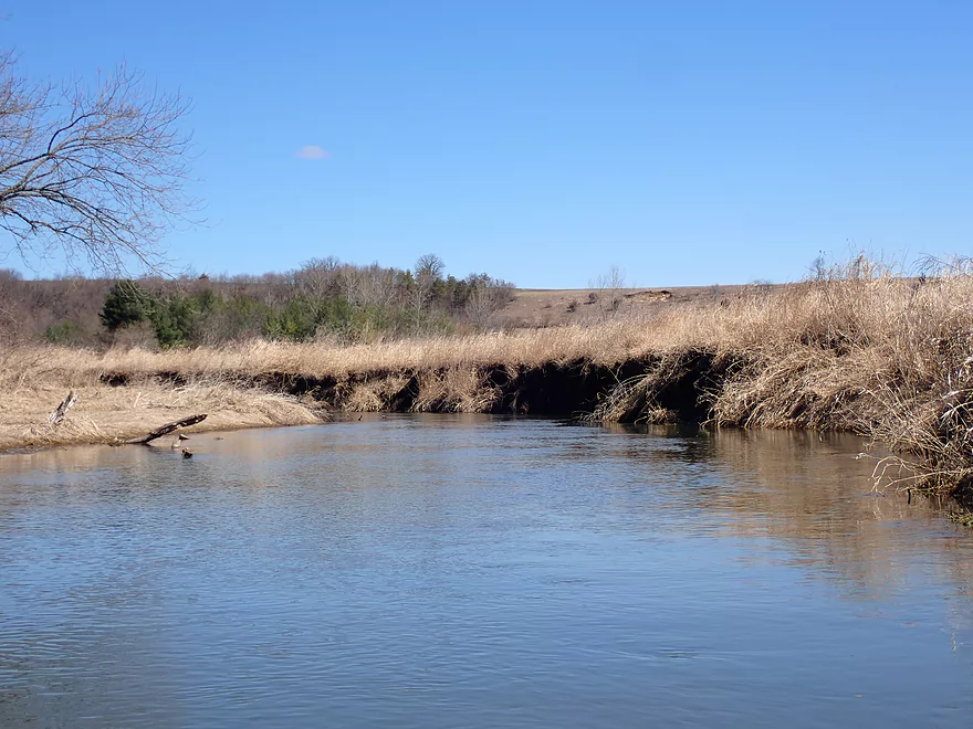
And entering pasture country
Cows have eroded the banks
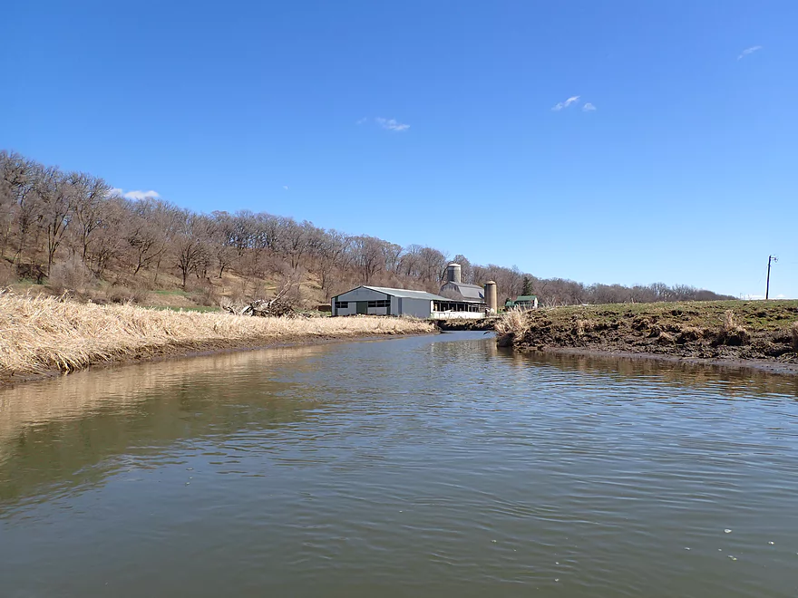
More riverside farms
One of the nicer farm bridges
More sharp oxbows
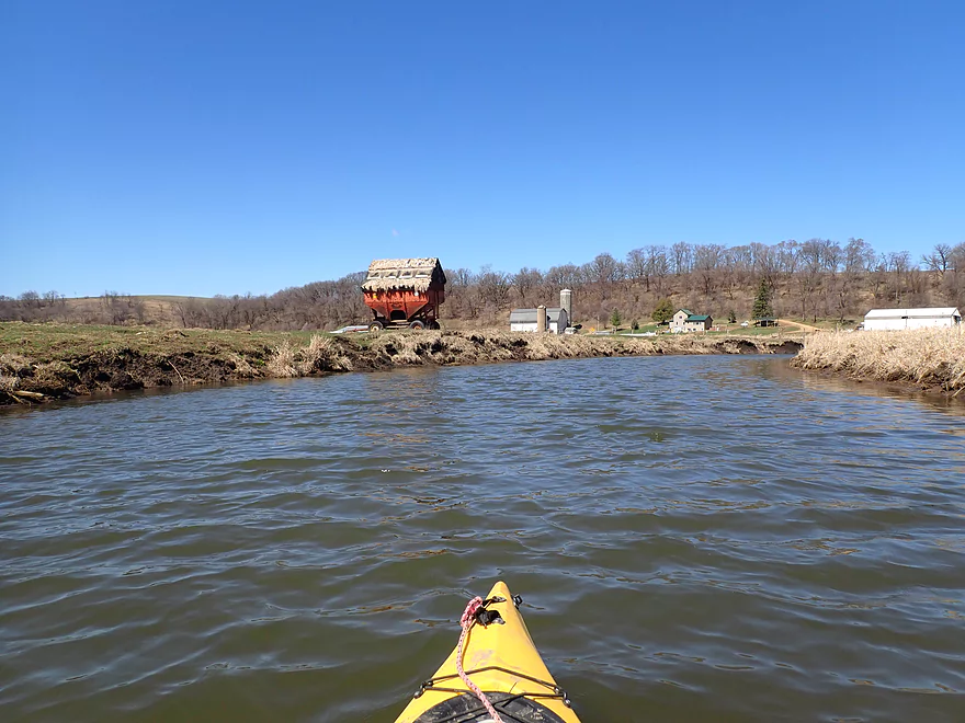
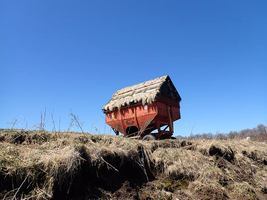
This wagon has a roof…
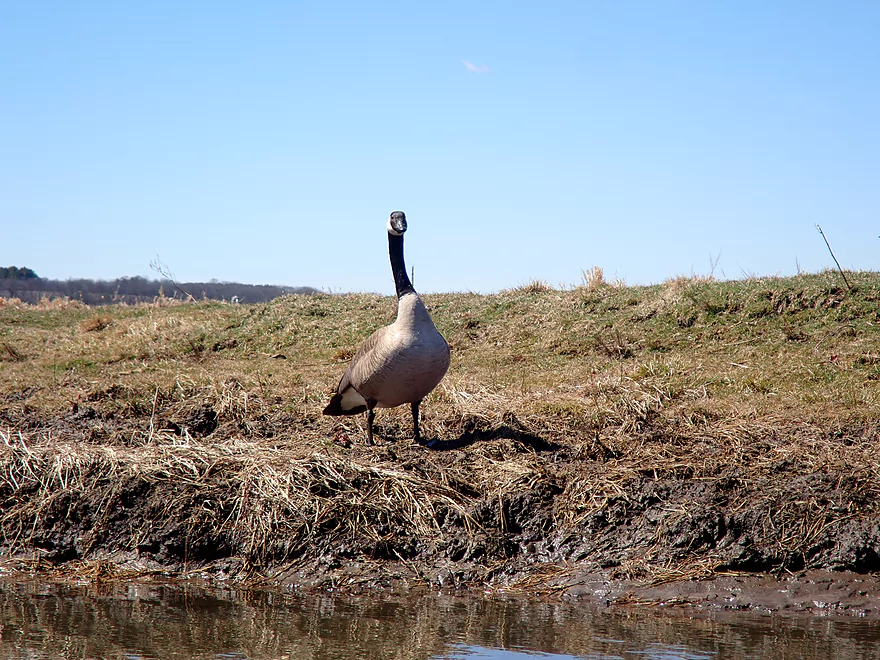
Being stalked by a goose
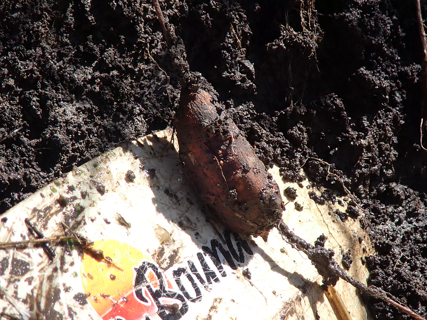
Riverside tubers
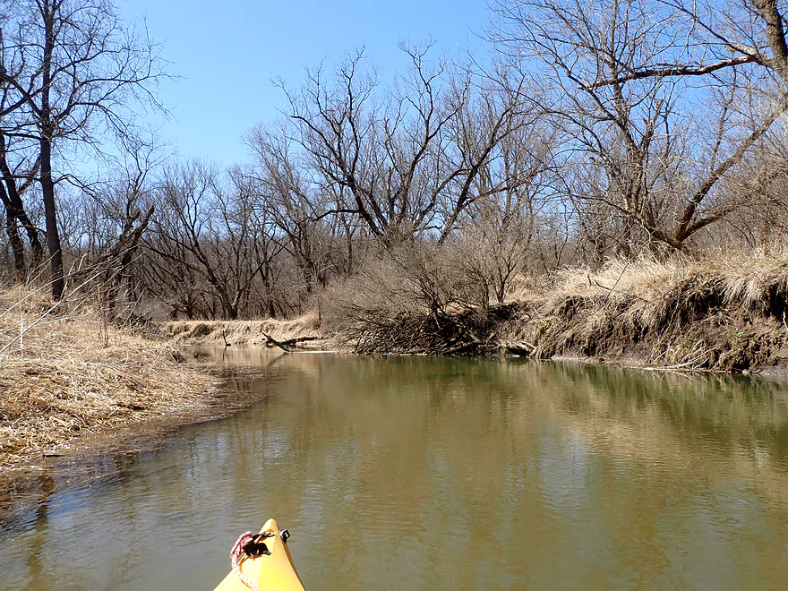
Entering a more wooded stretch
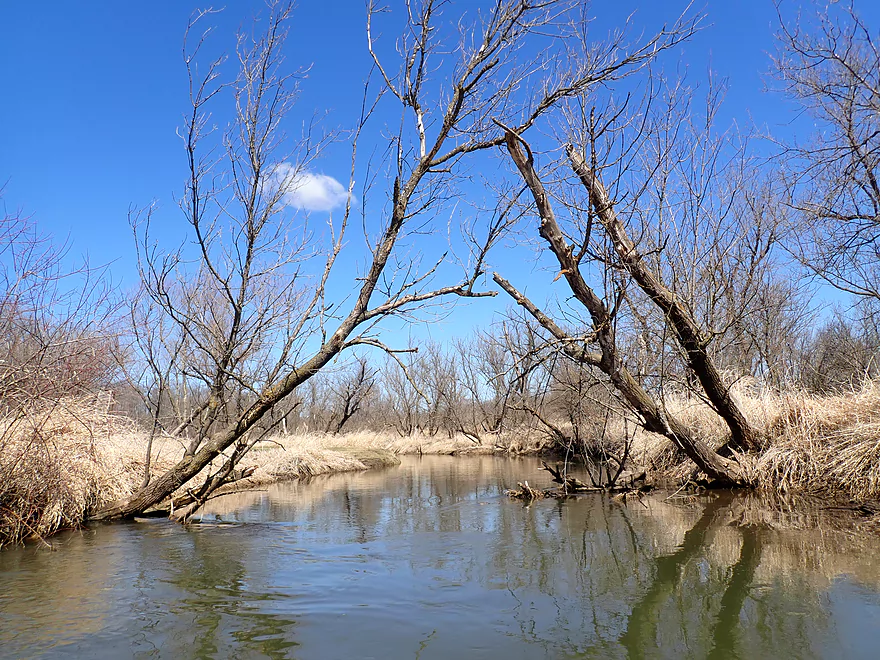
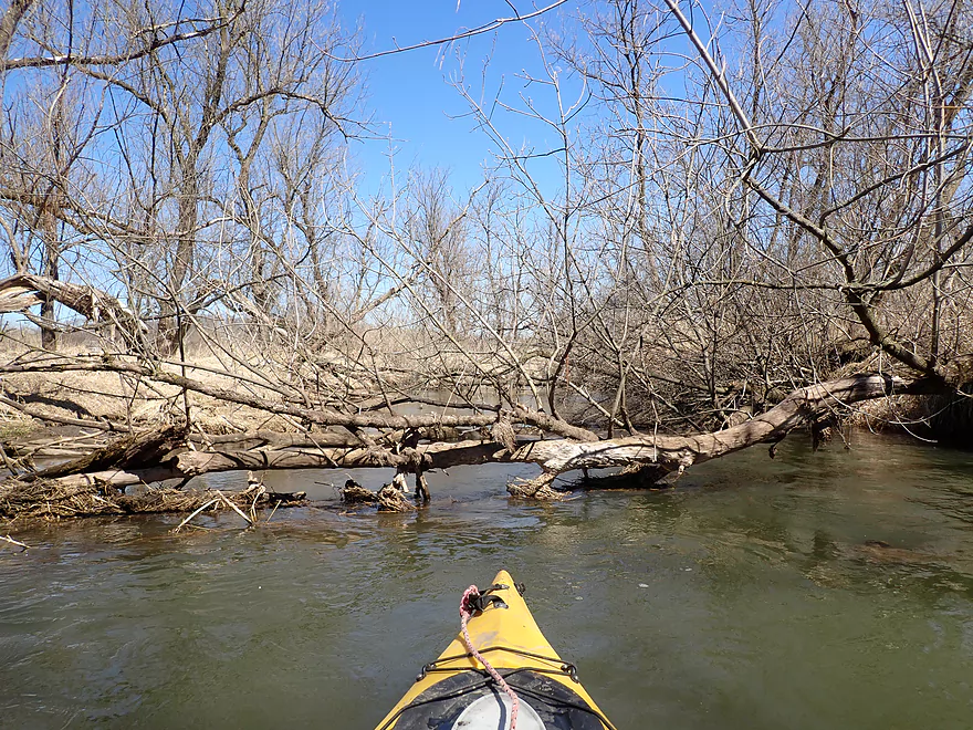
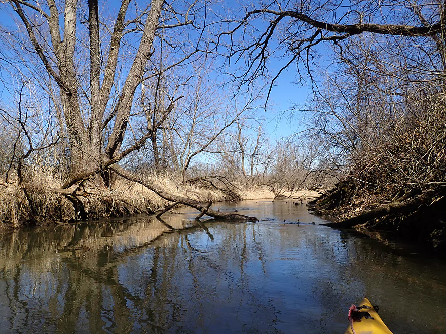
Starting to see some obstructions
Another obstruction
And another
A tight ducker
Hwy N
Decent take-out
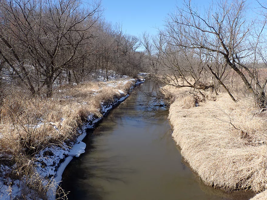
View from bridge
Same shot but in summer
Yellowstone River


The Yellowstone River is an obscure tributary to the Pecatonica River located halfway between Madison and Platteville. I don’t think many if any paddle it with the exception of Yellowstone Lake State Park (which is ~4 miles of impounded river).
Kayaking options on the river are a bit limited. Upstream of the lake, the river is small and might suffer from logjams. The lake itself is of course viable for paddling, but is a bit boring and suffers from fast motorboats. Closer to the mouth, logjams are a plague. This leaves the best prospect (per my map research) as being the middle stretch from the dam to Hwy N, which is what I chose.
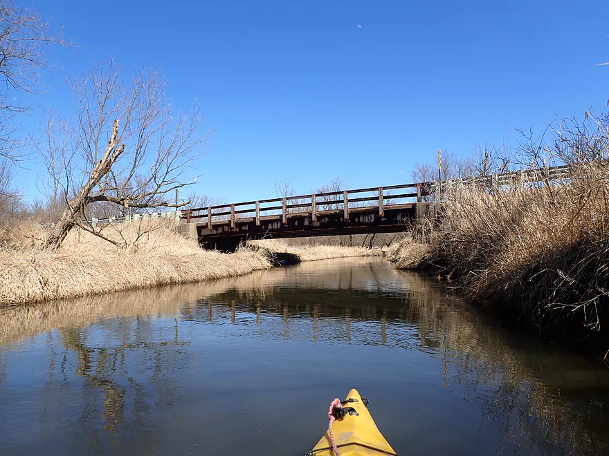
I launched below the dam, which while mostly just a glorified fishing access, was a nice put-in. A large bluff overshadows the first quarter mile of the river. At its base are runty sandstone outcrops including a small alcove/cave that you can poke your boat partly into. The most impressive geology is actually upstream of the dam. Here a Kickapoo style sandstone cliff borders the dam and is quite scenic. Sadly the dam submerges much of its bulk. Here is an old picture of the lake during a partial draw-down where you can see how much more impressive the cliff used to be. In fact based on depth charts, I suspect there used to be a number of nice pre-dam riverside cliffs along the south bank.
After the long bluff, I paddled past S. Lake Rd. Technically this is still part of the state park, and a nice public parking lot sits adjacent to the bridge which would make for a decent kayak access.
Following the bridge, the river really opens up and loses the few bankside trees it had. For the next two miles, the river was flanked by huge cornfields and large mud banks. Topsoil erosion is a serious problem and it causes the river to meander aggressively. In many ways the river and the mud banks reminded me of the nearby Pecatonica River, although not as bad.
In some ways the trip was a bit repetitive. Often it was one tight turn after another past tall, muddy, and grassy banks. That may sound awful, but the river actually had a nice open vibe to it with decent vistas of the distant bluffs and farms.
There were a few farm bridges to paddle under, but all but one were easy to duck under. The first was tricky in that the bridge was quite low AND there were small rapids flowing under (bad combo). I ducked under ok, but alternatively this would have been an easy portage.
The second half of the trip switched from cornfields to pasture. Cows are much more destructive to rivers than corn, and here the erosion was at its worst. On the plus side, the erosion was so bad, the bank height was reduced (likely flushed downstream to plague the Pecatonica).
The last half mile of the trip flowed through some light woods. While the previous legs were fairly obstacle free, I finally encountered some major downed logs. I was able to duck/hop past each (about 3), but had I wanted these would have been easy portages (the banks weren’t very high here).
In summary this was a pleasant, but not elite trip. It was just a bit muddy and repetitive…but still wasn’t bad and I actually much preferred it over the Lower Pecatonica River or the Lower East Branch. In fact, it would have gotten three stars had it not been for the few logjams at the end of the trip.
Sights included a groundhog, cranes, some clams, and lots of geese. The highlight was seeing a large fish get swept over the Yellowstone Lake dam.
If you were to rank all the state parks in the state, honestly this might come up near or at the bottom. Its “highlight” is a large lake (impounded Yellowstone River), but it’s not super interesting with generic wooded banks and a plague of noisy motorboats. Yellowstone Lake State Park hasn’t yet figured out that no-wake restrictions are key to a nice quiet park environment (like say Mirror Lake or Devil’s Lake). The park however does have a nice network of wooded trails, but those seriously interested in hiking would likely prefer Governor Dodge State Park’s superior trail network. I like the idea of investing in state parks in Southwest Wisconsin (which is currently under-served), but IMO the state should have instead focused on making the Grant River area, Little Platte area, or Snow Bottom area into state parks instead.
Yellowstone Lake Dam: Below the dam there is a public parking lot, outhouses, and riverside benches. This is part of the state park and fishermen often fish here. This is a pretty good access, but a lot of shady characters hang out here, so if you do a bike shuttle make sure your gear is well locked up.
Alternate Put-ins:
- S. Lake Rd (0.2 miles downstream from the dam): This is a good bridge access and has a nice state park parking lot. This has the advantage of privacy over the dam (nobody uses this spot). The downside of launching here (as opposed to the dam), is you would miss a nice mini-leg of the river.
Hwy N: This was a good bridge access. An adequate take-out bank and shoulder parking is available along the northwest corner.
Alternate Take-outs:
- Gunderson Rd (1.6 miles downstream from Hwy N): I doubt most paddlers will take out at Gunderson. After N, the river becomes more wooded and congested, with perhaps 4 serious logjams.
Hwy N to Yellowstone Lake Dam: 2.9 miles with 46′ of ascent. This was a relatively easy bike shuttle with only a few small hills. You could shorten the shuttle to 2.3 miles by simply launching at S. Lake Rd. What stood out from my shuttling memories though was how cold it was (bike shuttles are always colder than kayak trips), and Amish children doing roofing work (so much for child labor laws).
Logjams: Aside from a few minor low branches, the first four miles were remarkably open. The last half mile of the trip however was more wooded with roughly three logjams. I was able to squeak past all without portaging, but had I wanted to, portaging would not have been too difficult.
Current: Medium current to start, but the river quickly slows to a crawl for the rest of the trip.
Rapids: The only rapids (Class 1) are located under the first farm bridge. The trick is it’s quite low, so ducking the bridge AND riding out the rapids can be tough. This would be an easy portage if you preferred.
Fences: No fences to worry about despite the river flowing through some pasture.
Trip Depth: 175 CFS or 4.97′ per the Pecatonica River EB @ Blanchardville gauge (Note the following are just rough guestimates)
- 0-100 CFS: Relatively low depth. Kayakers might run aground in a few spots, but I suspect it’s still navigable.
- 101-150 CFS: Low depth. Should be plenty navigable.
- 151-200 CFS: Average depth.
- 201-250 CFS: High depth. Should be navigable.
- 251-300 CFS: Very high depth. Should be navigable, but water quality may be really bad.
- 301+: Likely near flood conditions.
- County Line Rd to Grant Rd (1st bridge): 1.6 miles. Mostly open, small, and riffly. Likely 2-3 outcrops. An intriguing high water prospect.
- Grant Rd (1st bridge) to Grant Rd (2nd bridge): 0.4 miles. Short open stretch. Maybe 1 outcrop.
- Grant Rd (2nd bridge) to Hwy F: 3.4 miles. Maybe 6 logjams, but shows potential with several possible impressive outcrops including those at the junction of Canyon Creek.
- Hwy F to Yellowstone Lake West Access: 1.4 miles. Now technically within the state park, this should be an open and navigable stretch.
- Yellowstone Lake West Access to Yellowstone Lake Dam: ~2 miles. A large impounded lake used by state park visitors. Motorboat traffic can be common in the summer. Several alternate access points along the north shore.
- Yellowstone Lake Dam to Hwy N: 5.1 miles.
- Yellowstone Lake Dam to S. Lake Rd: 0.2 miles. Nice stretch with a long bluff along the north shore. Included are several small runty sandstone outcrops and a small alcove/cave.
- S. Lake Rd to Hwy N: 4.9 miles. An open stretch with twisty mud banks. Pleasant stretch with several logjams near the end (flexible paddlers can get past these without portaging).
- Hwy N to Gunderson Rd: 1.6 miles. Maybe 4 logjams.
- Gunderson Rd to Old Q Rd: 3.7 miles. Maybe 12 logjams.
- Old Q Rd to Mouth on Pecatonica River East Branch: 1.2 miles. Maybe 3 logjams.
Trip Map
Overview Map
Video
Photos Size: