
What, you say? Obstacles in a river!?
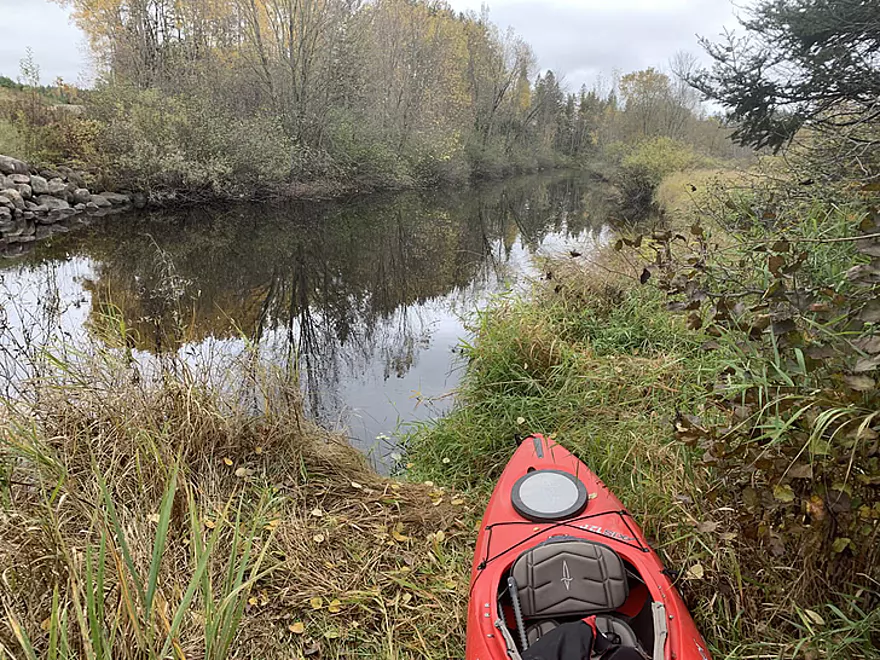
Easy-peasy put-in at County O
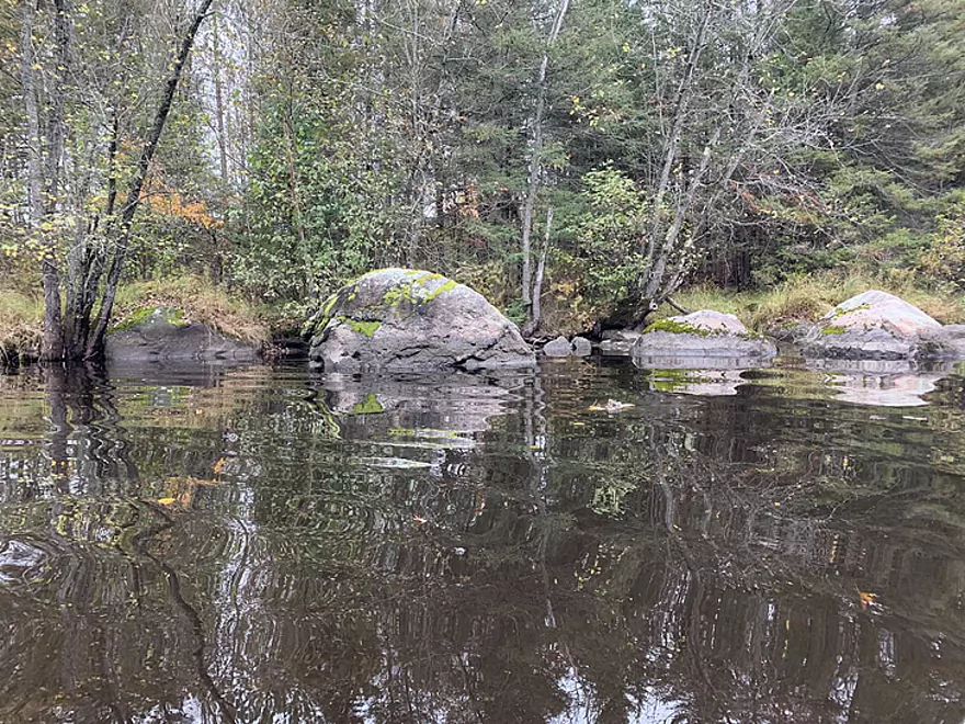
The Boulder Family
Calm before minor storm
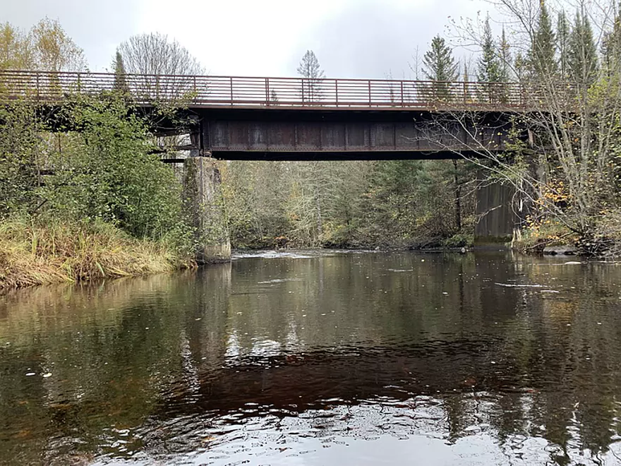
Former RR trestle, now ATV bridge
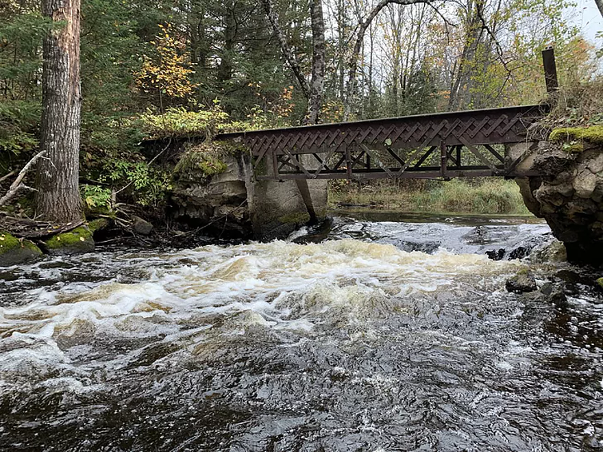
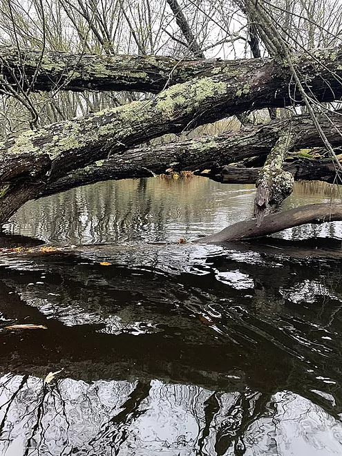
Remnant dam
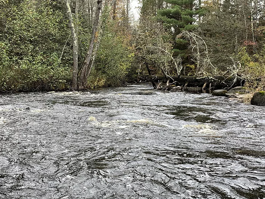
Pushy water, narrow passage
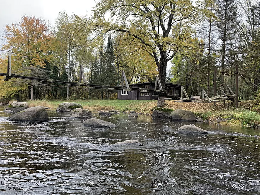
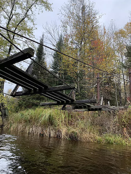
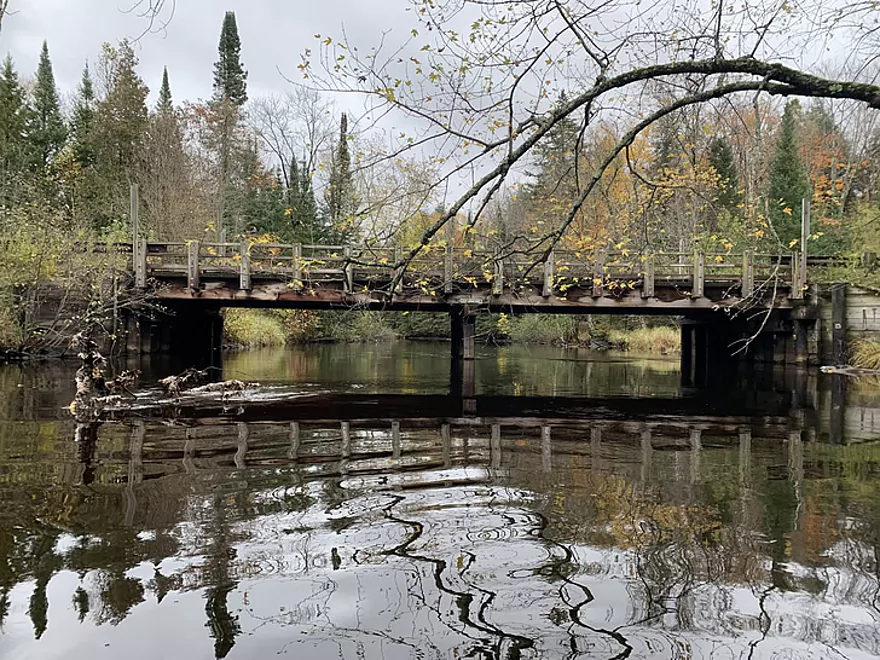
A bridge not to cross when you come to it
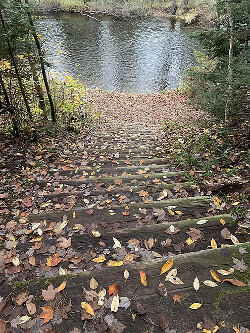
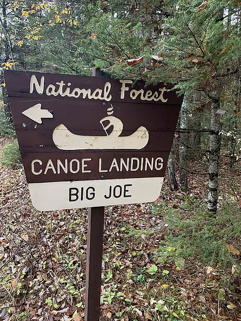
Stairway to Big Joe Landing
After Cavour, expect some snags
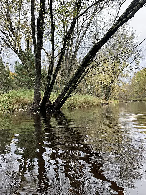
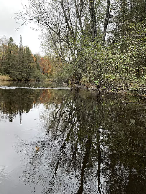
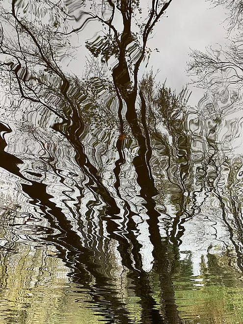
Reflections 1
Reflections 2
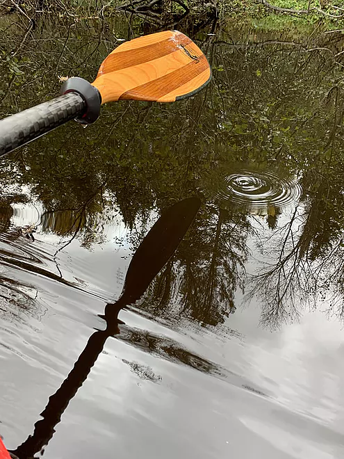
Paddler’s essential tool
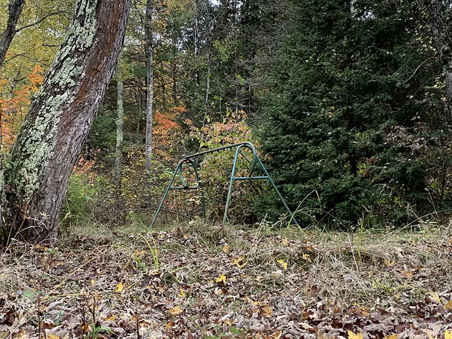
All that remains of this river redoubt

Autumn leaves
Takeout, upstream left, at CCC bridge
CCC bridge, river view
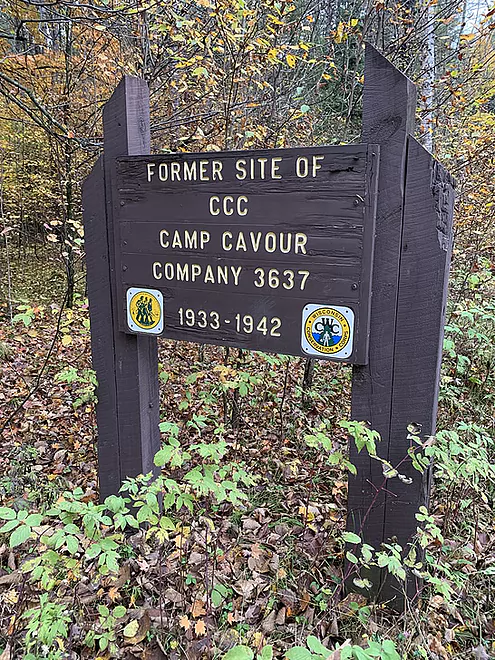
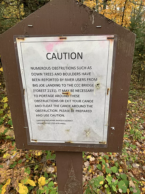
There’s a sign, but nothing to see
Taking out at Big Joe Landing, starting from County O, is too short a trip
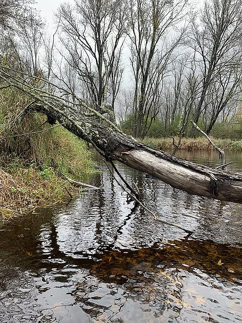
This deadfall offers an obvious passage
Try as I might, this was a portage
Peshtigo River – O to CCC Bridge


The Peshtigo River is a well-known and oft-paddled destination for whitewater enthusiasts. A dearth of information about the segments upstream from the thrill-inducing whitewater zones – plus the fact that I didn’t want to paddle the whitewater alone on a chilly fall day – led me to explore the Peshtigo above U.S. Highway 8 near the settlement of Cavour.
I was pleased with taking this road less traveled. Though there are occasional stretches of somnolent flatwater, there are enough diversions in this 14-mile piece of the Peshtigo to recommend it. Plus it’s ideal for paddlers seeking some navigation challenges without facing whitewater that might keep them away from this fine river.
The 4-mile piece of the Peshtigo that gets little attention is upstream from Cavour. Small river chronicler Frank Piraino (in his out-of-print “Small River Canoe Adventures of Wisconsin”) referred to “exciting challenging whitewater!” while Rick Kark’s description of this piece was a bit inaccurate. Mike Svob’s “Paddling Northern Wisconsin” entry for the Peshtigo doesn’t touch the 4-mile piece above Hwy. 8; he mostly writes off the next piece, from Big Joe Landing (near Hwy. 8) to the CCC bridge.
I started at a bridge over the Peshtigo on Forest County Hwy. O, a few miles from the settlement of Cavour. The current is gentle at the outset; the river is sprinkled with boulders. Within 20 minutes of putting in, you’ll encounter your first adventure in this segment: there’s a remnant dam between an island and the right bank. I took the left channel – a bumpy ride with some downed trees at the bottom – and wished I’d done the right channel. While going under the metal structure across the right channel doesn’t look feasible, it is. I’d recommend it for kayaks, but maybe not canoes, as you sit higher in the water. Use your own judgment! This may be impassable in high water.
A former railroad trestle (now an ATV trail bridge), some riffles and a big downed white pine follow. Silver maple trees and alder clumps line the banks. Then, more fun: a deadfall obscures the sight of the upcoming rapids that is clearly audible. Once you clear the deadfall, take the right channel. Beckoning you is a 100-yard long S-curve of rocks and shallow drops that looks and feels scary when you’re in it but is relatively easy to navigate; just keep your eye open for the openings. I took on a bit of water in the waves at the bottom of the rapid.
I didn’t get out of my boat to check out the right bank as a possible portage route. At that day’s water level, I didn’t feel a portage was necessary.
Soon, several things signal your approach to Hwy. 8, including traffic noise. A few houses appear. You’ll paddle under a rickety footbridge (plenty of clearance). There’s a fun riffly bit. On river left, you’ll see a long stairway made of square timbers; that’s Big Joe Landing, maintained by the U.S. Forest Service. Svob recommends starting here to paddle to the CCC bridge.
I recommend my County O put-in, for the reasons I hope I’ve adequately described. Getting out here, and starting at County O, would be too short a trip, in my estimation. And starting here, skipping the upstream piece and simply going to the CCC bridge, cuts out the best action from this segment.
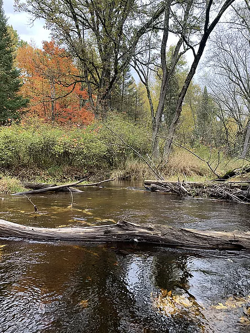
So I continued on the next 7.5 miles or so to the CCC bridge. Though a bit monotonous at first, this stretch is not without its surprises, if you’re like me and enjoy slithering through and around sweepers and deadfalls, most of which offer openings at the top ends of the trees. Other times, you need to put “pedal to the paddle” to launch yourself over (or almost over) an underwater trunk.
This stretch is remarkably remote, as well; you are now deep within the Chequamegon Nicolet National Forest. Other than the sight of an abandoned railroad track and a rickety trestle, there are no roads, no houses, no landings, no noise, no powerlines — just you and the ducks and the great blue herons.
Without a pushy current, the deadfalls are mostly manageable. There were four portages, however, but all of them short and easy to do. The river remains shallow, slow and fairly wide, making for easy navigation.
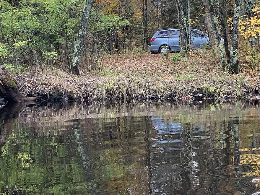
Right about the time I was ready to wrap up, I saw the CCC bridge and my blue van waiting for me. Takeout is upstream right.
The access at County O is almost ideal: you can drive off the road and down the slope to within 10 yards of the river, and the put-in is easy (upstream left).
CCC bridge (Peshtigo River Road), upstream right. Parking for 3-4 cars.
Peshtigo River Road (aka FR 2131), U.S. Hwy 8, WI Hwy. 139, Forest County Hwy. O. For cyclists: you’ll encounter short stretches of gravel on Peshtigo River Rd. and County O. Traffic on Hwy. 8 is light here. 11 miles total.
There are two small rapids and some riffles between County O and Cavour, all easy to navigate. Logjams are fairly frequent between Cavour and the CCC bridge. Current is mostly gentle. Ignore the Forest Service’s warning sign at Big Joe Landing about “rocks and trees” in the river below Cavour. It’s true – it’s a river, after all.
Use the USGS guage for the Peshtigo River near Wabeno, WI. The 350 cfs the day I paddled was most adequate.
Don’t count on many! I’m a sucker for rural Wisconsin taverns. I didn’t see an appealing one anywhere near this location. If you’re curious about the site of the old CCC campsite, a few hundred yards west of the eponymous CCC bridge (the takeout), believe me that there’s nothing to see. Driving back in there, you’re asking for trouble.
Thanks for the review Denny!
WisconsinRiverTrips.com is always very appreciative of guest reviews, and if you the reader is ever interested in submitting one, you can use this online form.
Trip Map
Overview Map
Video
Photos Size: