
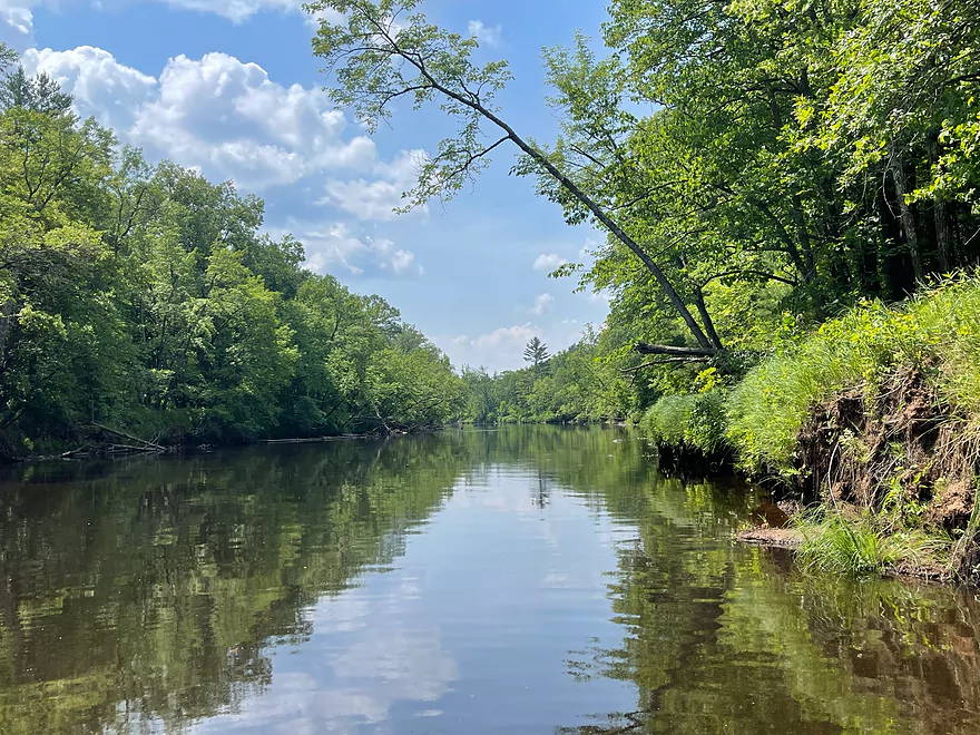
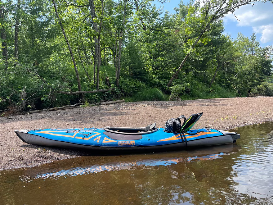
Shortly after put-in at Long Lake Road
Minor rapids
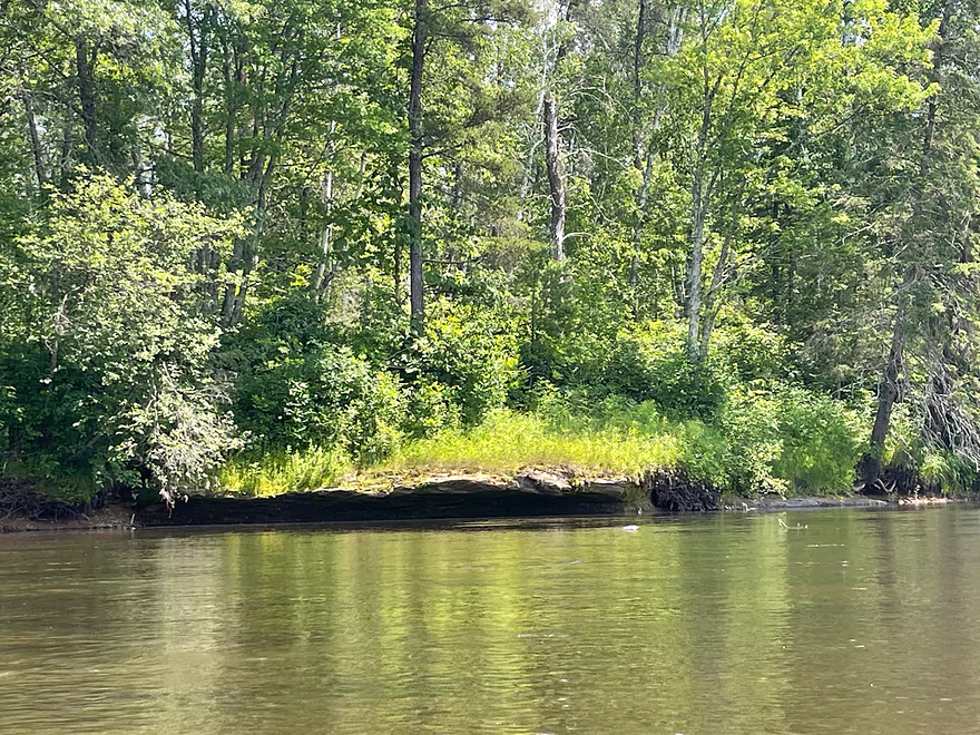
Small island
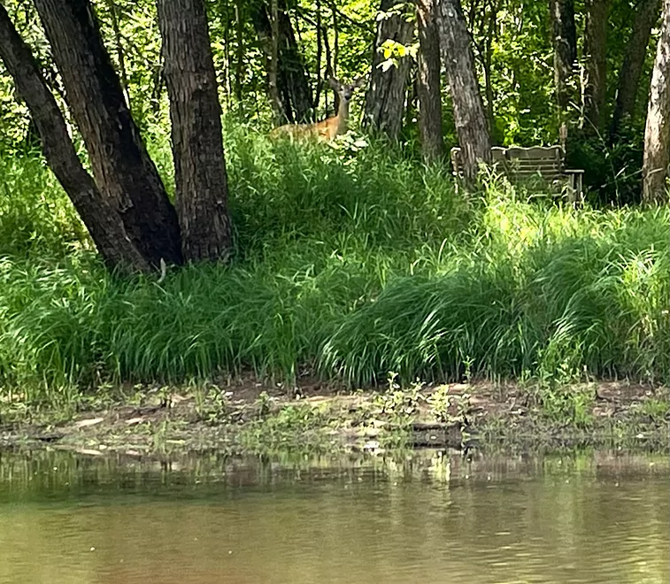
Deer watching from the shore
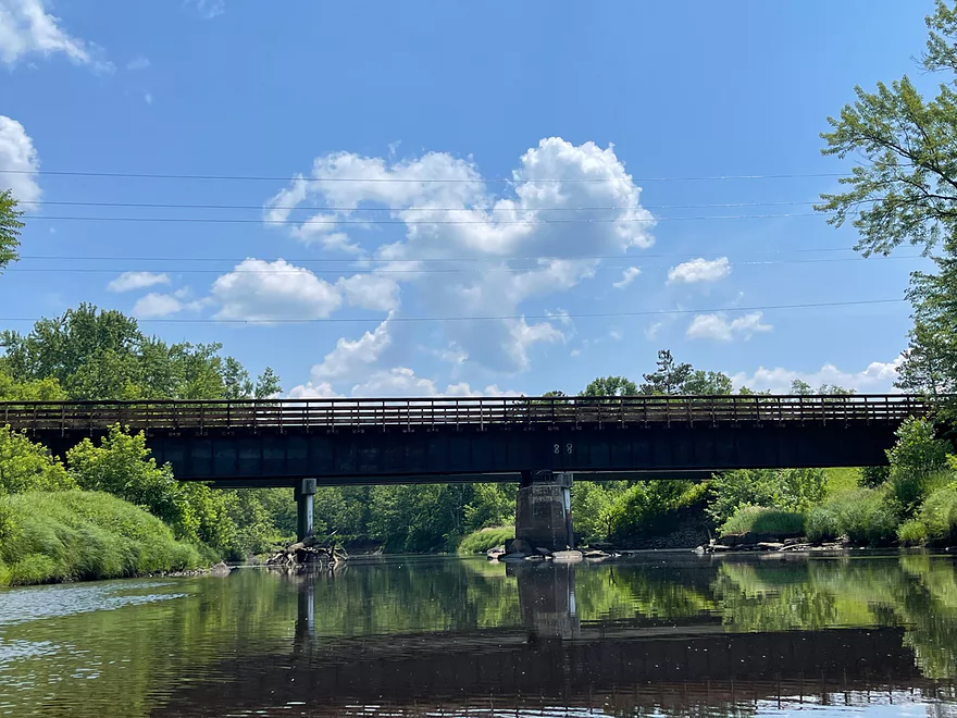
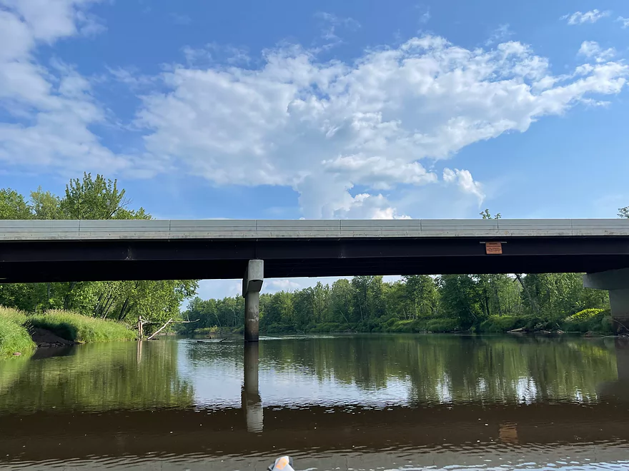
County 61 and Munger State Trail bridges
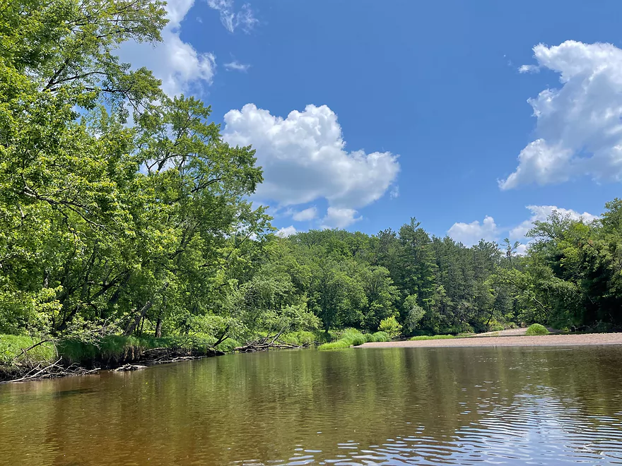
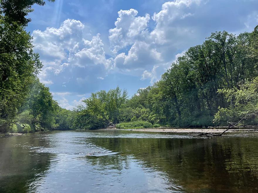
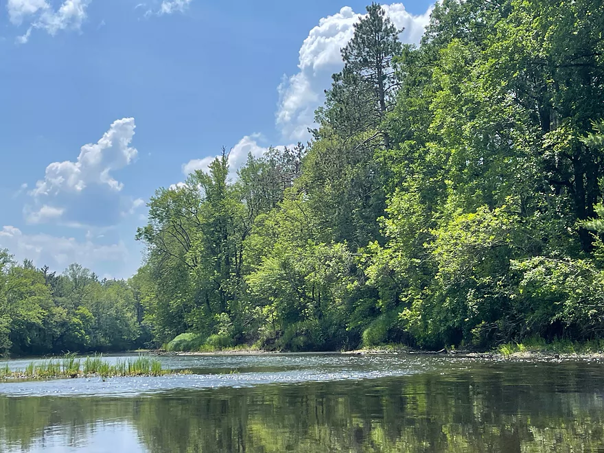
Bend with a nice gravel bar
Rest stop on the gravel bar
Small ledge
Minor riffles
Minor rapids
Keep left
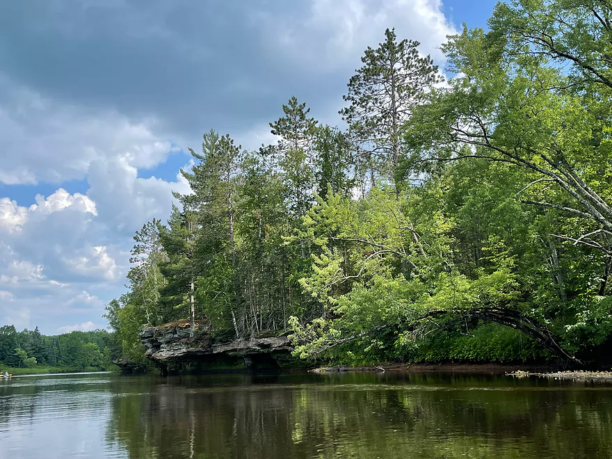
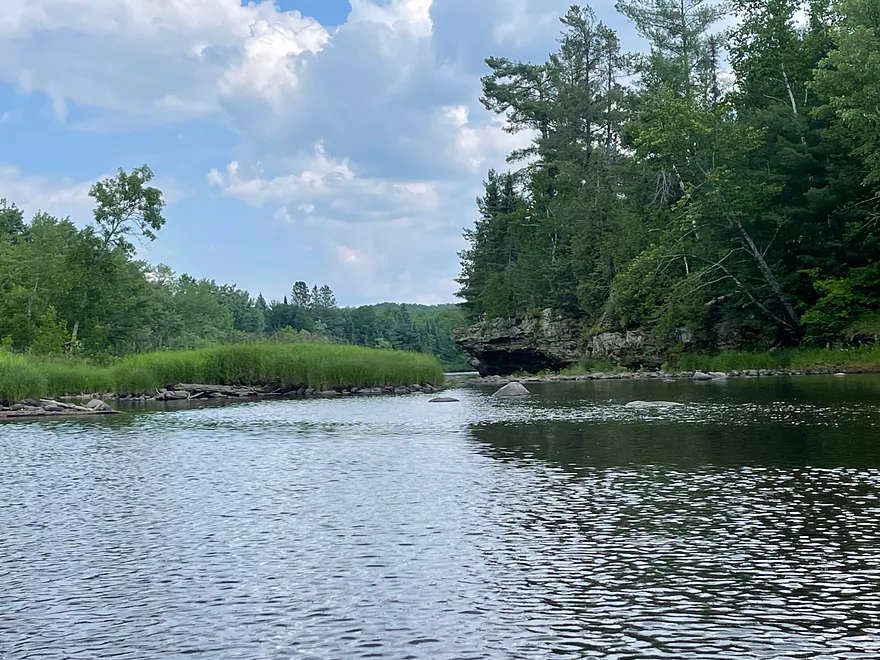
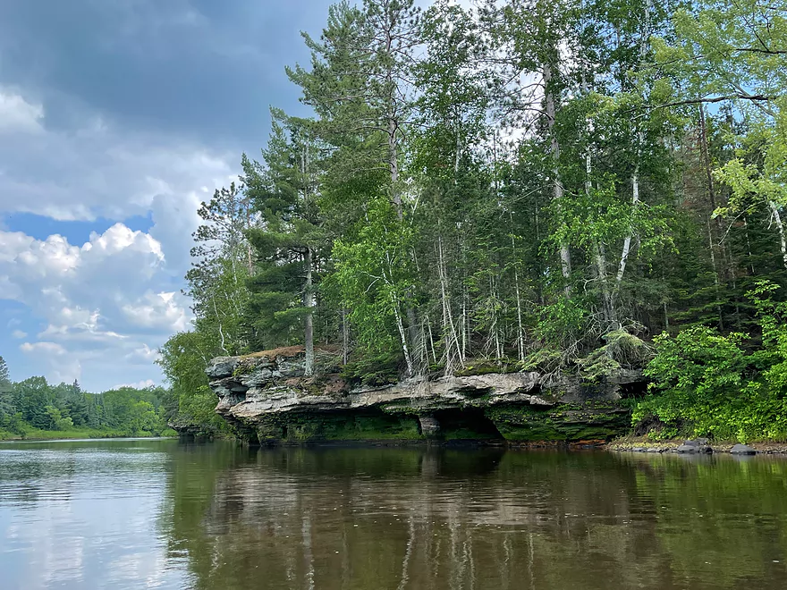
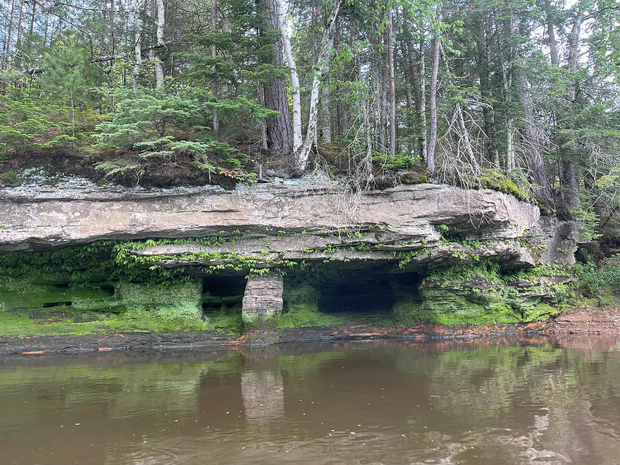
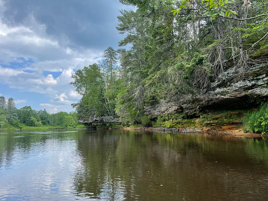
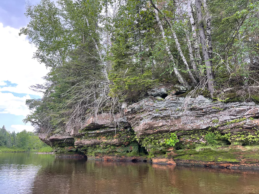
Start of the best rock outcrops of the trip

Interstate 35
Final rapids of the trip
River calms down drastically
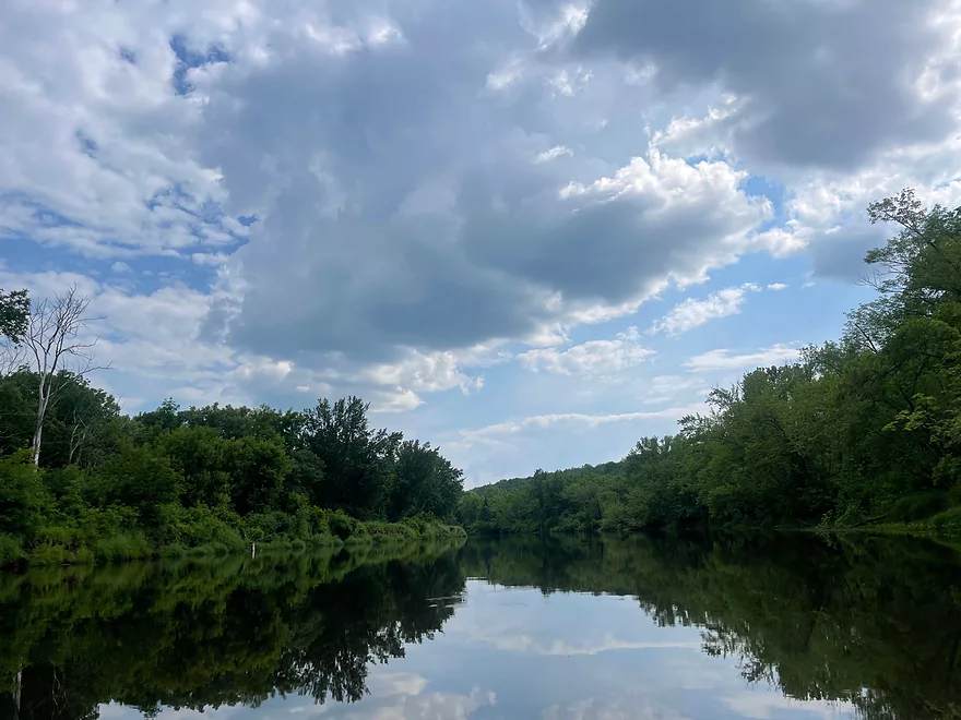
Final stretch
Take-out at Hwy 23 bridge. Sign on bridge warns of large rapids 1 mile downstream
Kettle River- Long Lake Road to Hwy 23

The Kettle River is one of the most scenic rivers in Minnesota and is a designated water trail. The segment between Banning State Park and Sandstone has some of the largest rapids in the Land of 10,000 Lakes.
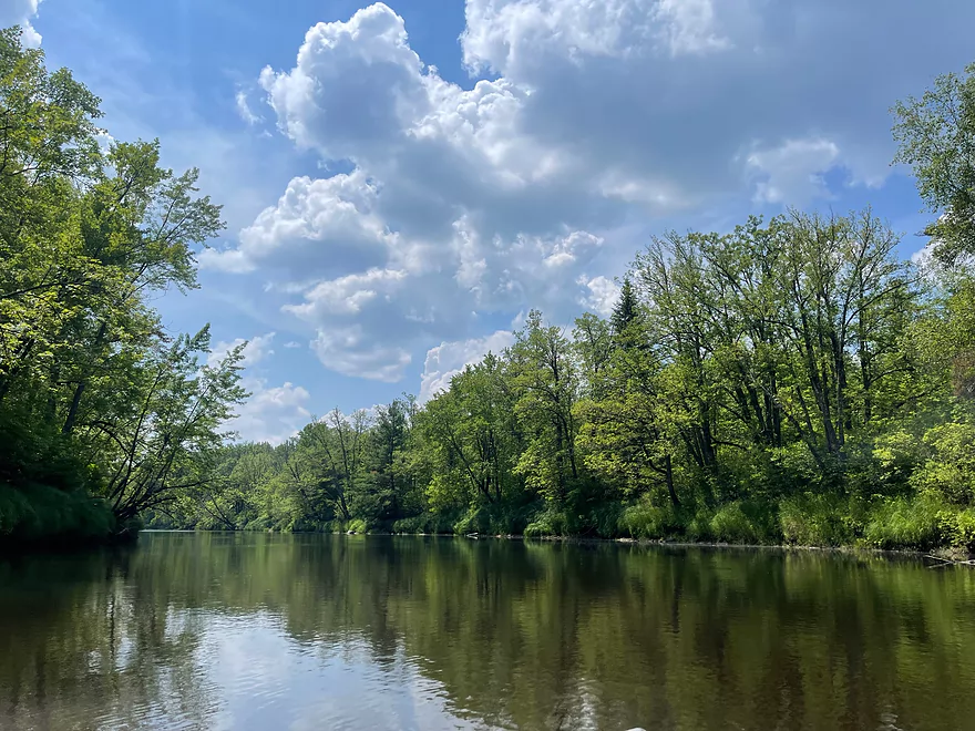
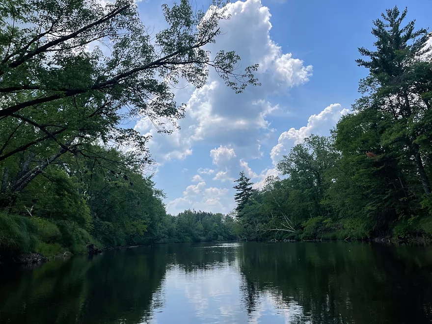
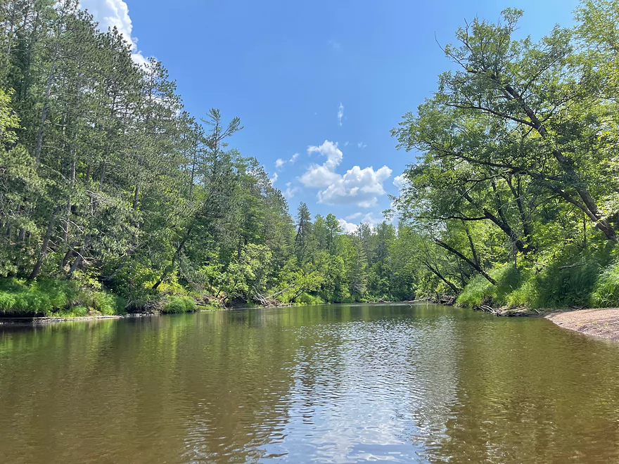
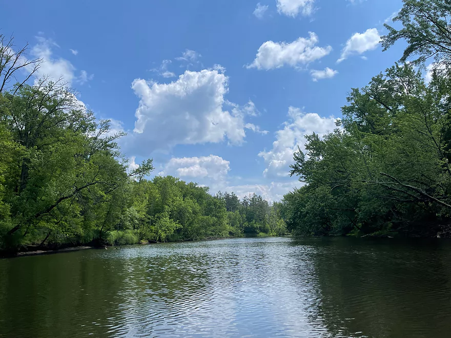
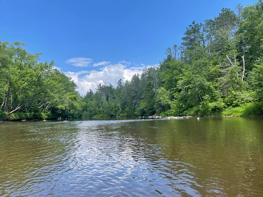
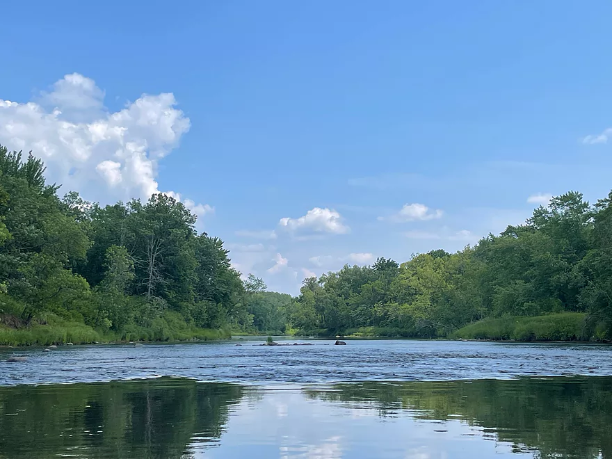
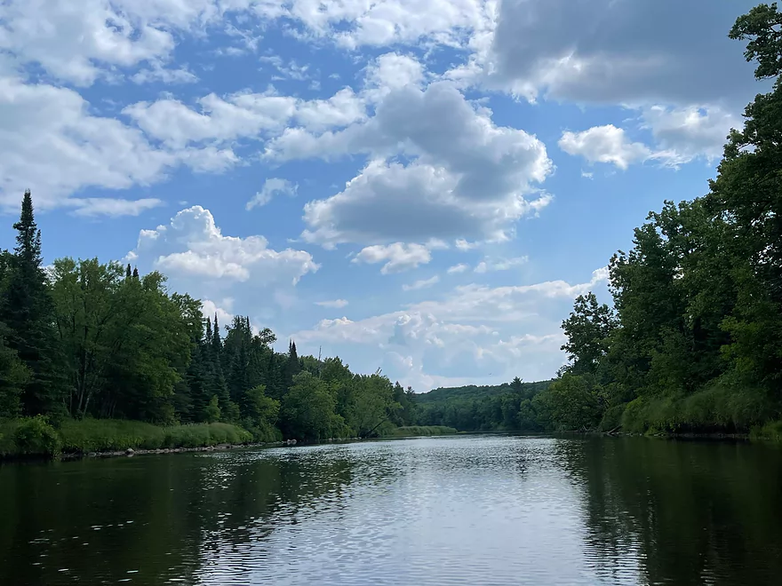
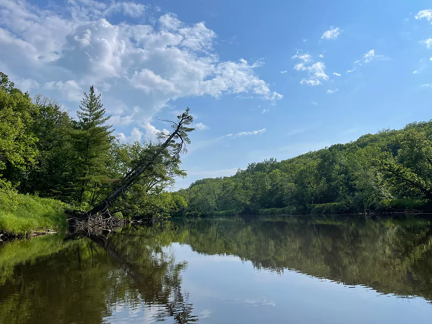
Although the Kettle has a reputation as a whitewater river, there are many calm segments as well. Most of the river banks are undeveloped and have excellent scenery. The only issue is the lack of access. Despite being a state water trail, there are very few access points with steep embankments at most of the bridges.
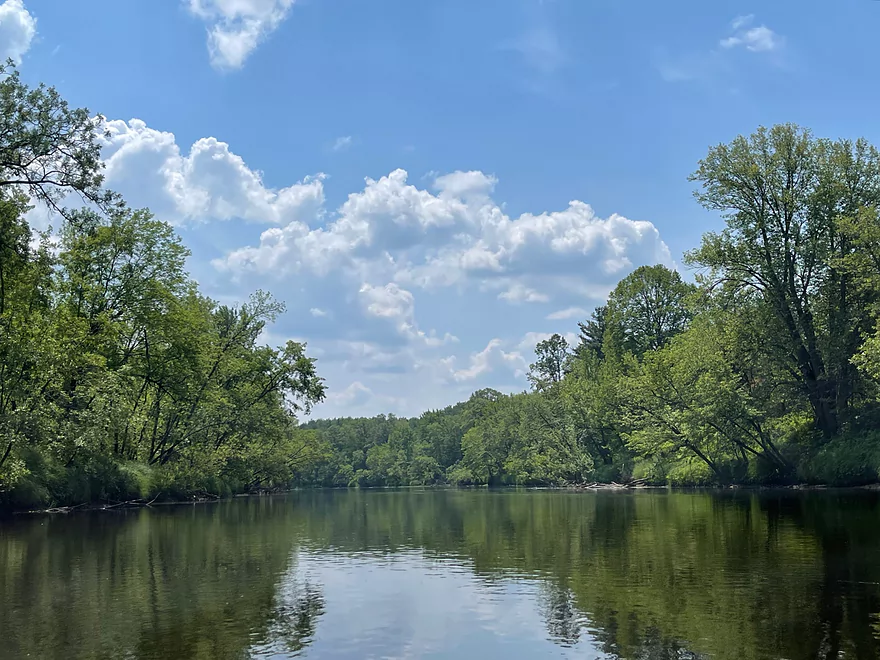
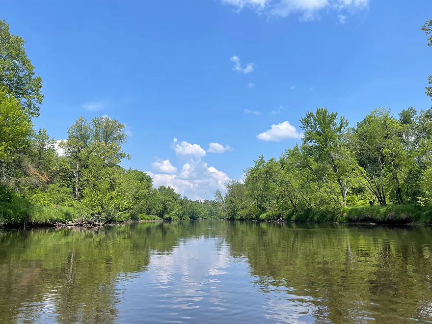
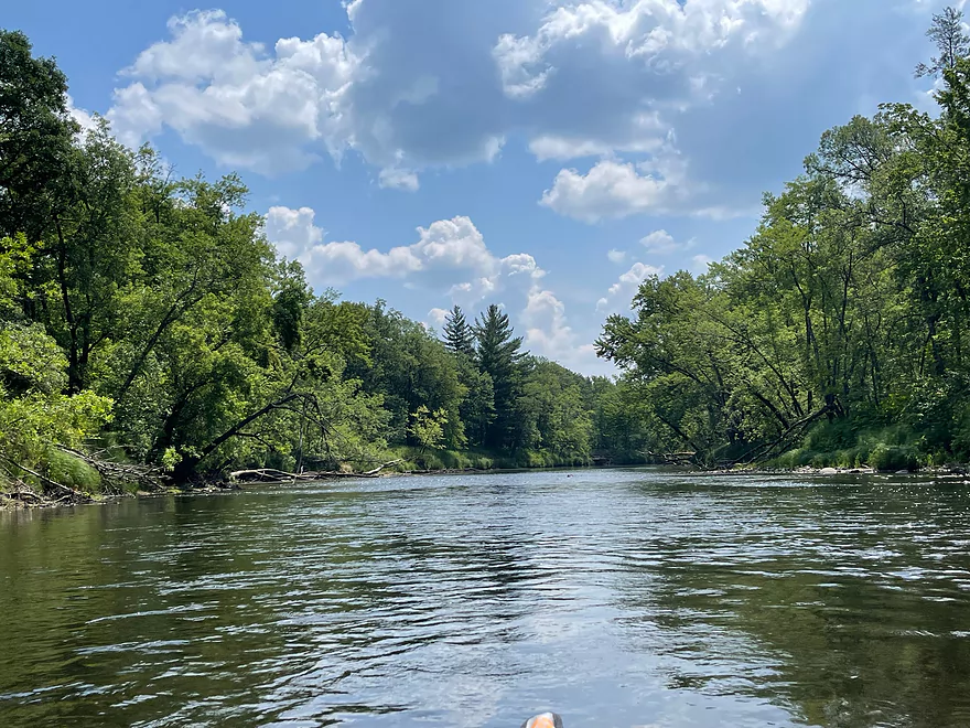
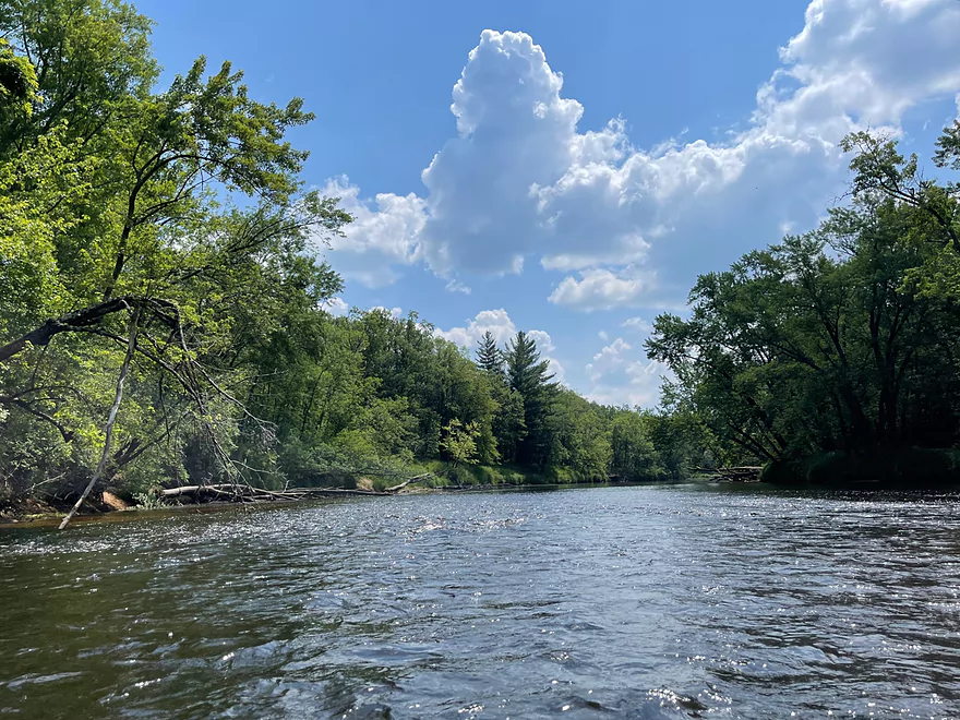
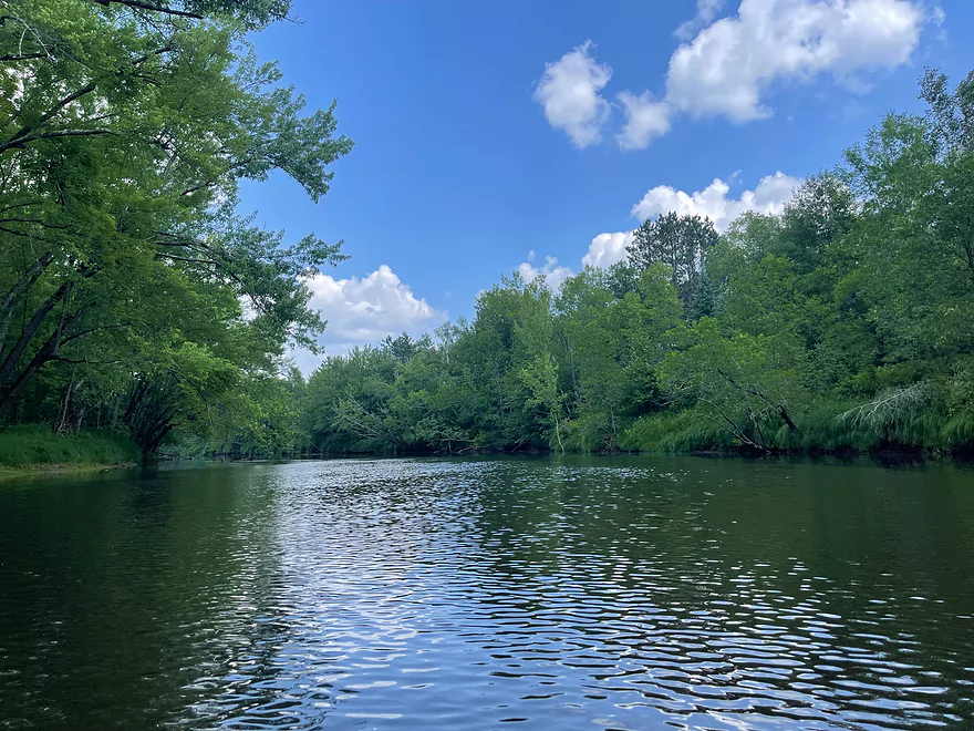
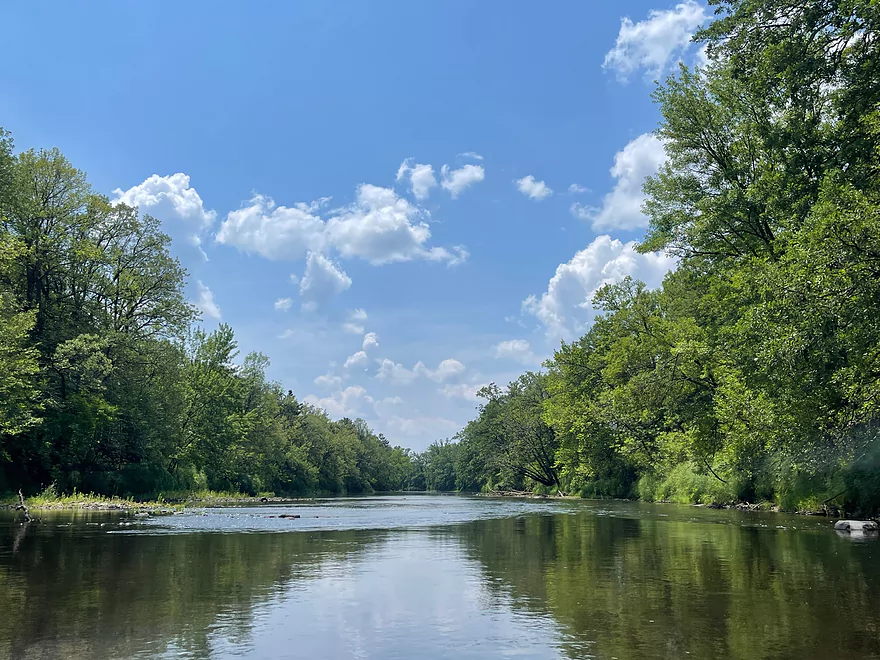
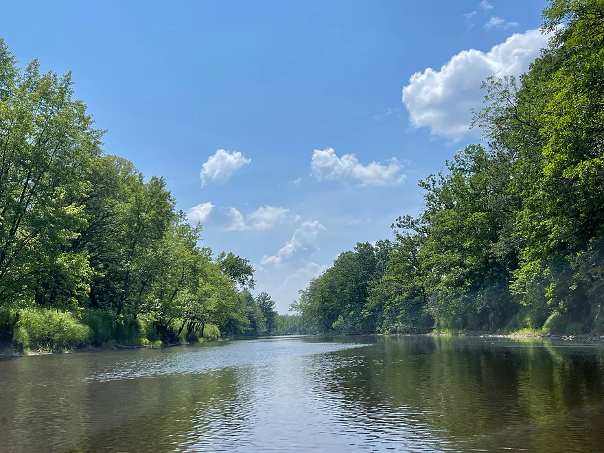
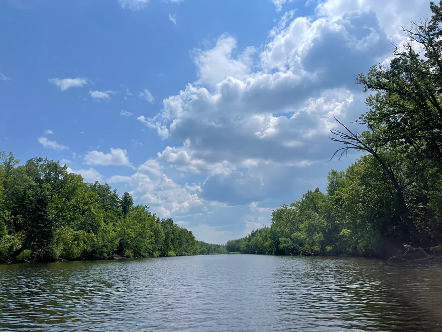
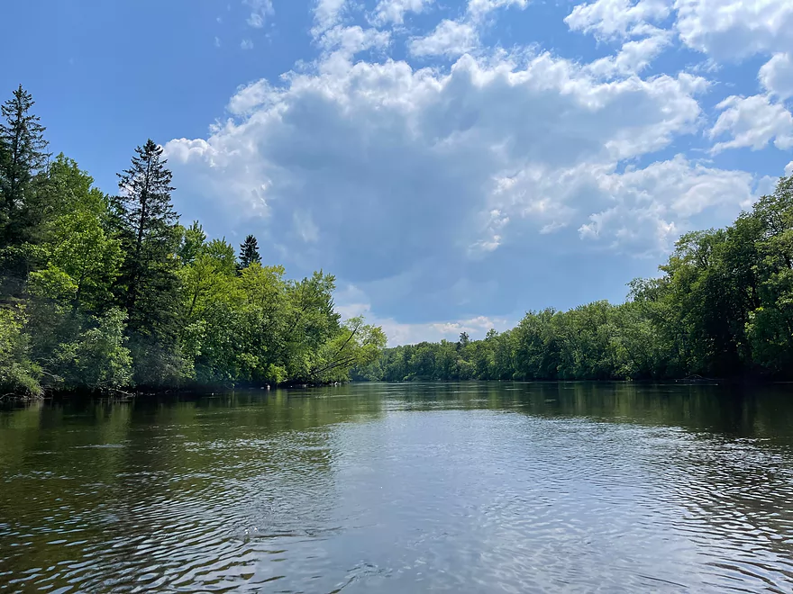
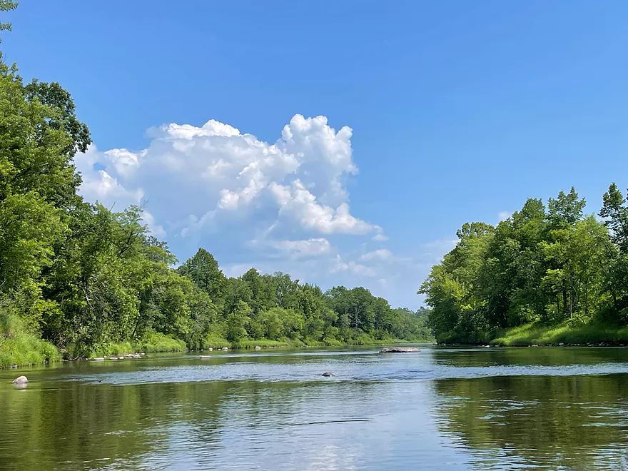
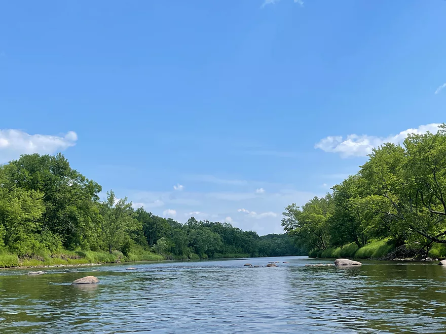
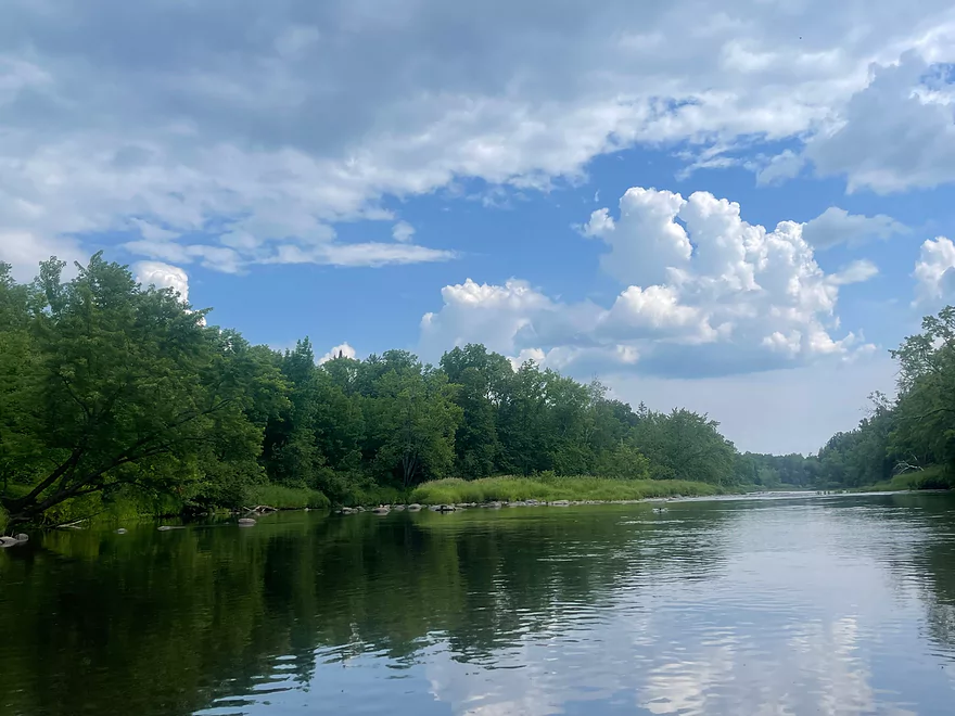
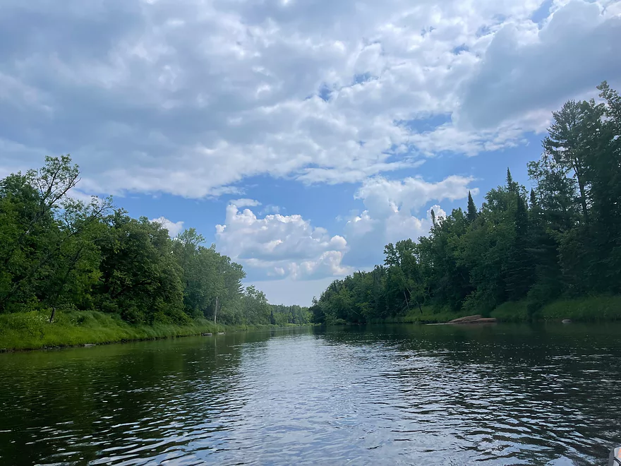
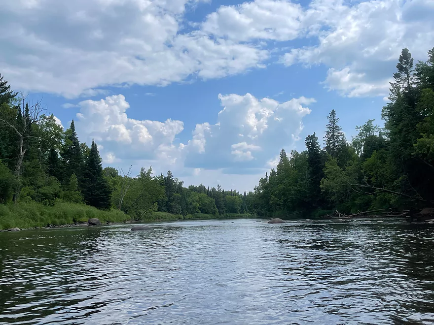
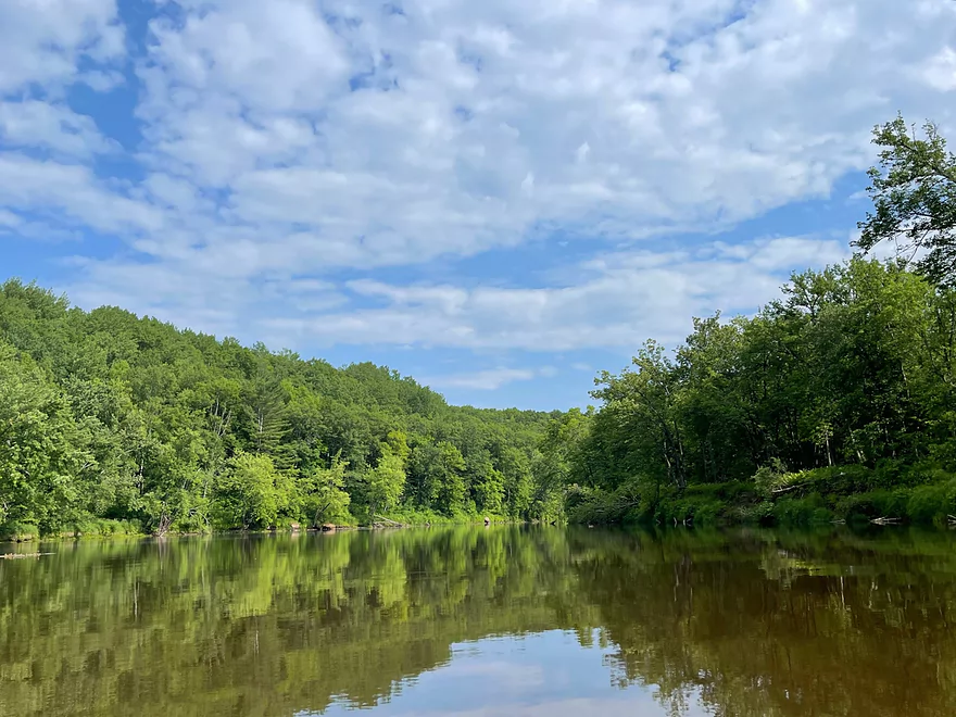
The trip started at Long Lake Road, which has a somewhat steep trail to the river but is the only decent launch in the area. The river is very picturesque with lush forests that reflect perfectly on the water. There are the occasional light rapids and several gravel bars.
Once a rock outcrop and island come into view, Rustler Bend is up ahead. The river does not flow to the right and all paddlers need to keep left. This is the biggest drop on the trip.
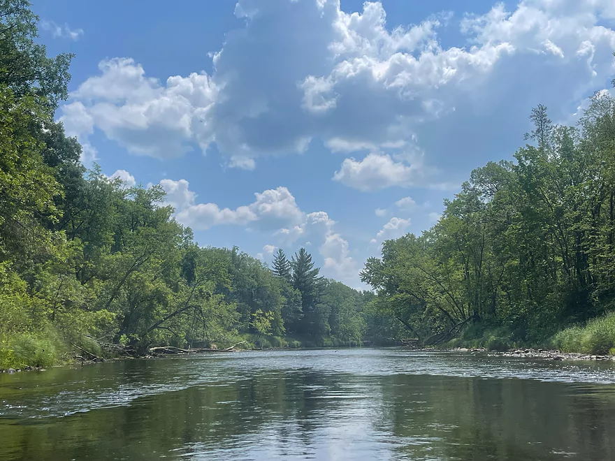
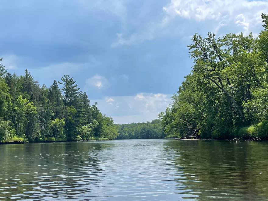
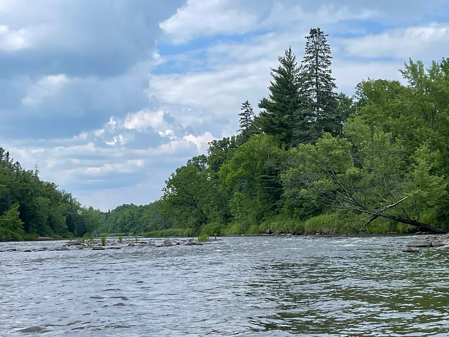
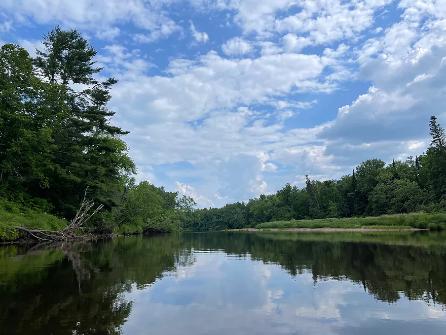
After the bend there is a nice stretch of rock outcrops until the Interstate 35 bridge. After the bridge, there is a stretch of Class I rapids followed by very calm water for the rest of the trip until the Hwy 23 landing.
Overall, the trip is very scenic and a great trip for recreational kayakers. There were no logjams the entire trip and very few people. The Kettle is one of Minnesota’s finest rivers.
Thanks Peter for the review! WisconsinRiverTrips.com is always very appreciative of guest reviews, and if you the reader is ever interested in submitting one, you can use this online form.
Note much of this information was obtained from the Minnesota DNR.
- Upstream from Hwy 52: The Kettle splits off the Moose Horn River. Both branches are likely navigable, but I don’t know much more.
- Hwy 52 to Hwy 41: 4.2 miles.
- Hwy 41 to Long Lake Road: 2.3 miles.
- Long Lake Road to Hwy 23: 11.2 miles.
- Long Lake Road to Rutledge/Central Ave: 4.1 miles. Scenic wooded stretch.
- Rutledge/Central Ave to Hwy 23: 7.0 miles. Good leg with outcrops, wooded banks and minor rapids.
- Hwy 23 to Banning State Park Landing: 1.6 miles. I don’t believe there are any noteworthy rapids on this leg.
- Banning State Park Landing to Old Wagon Road Landing: 2.9 miles. Likely the most scenic and famous stretch of the Kettle River with multiple outcrops and rapids. Several of the rapids range from Class 3-4 difficulty (only for experts). This stretch is serviced by local rafting companies which is a good way for non-whitewater paddlers to experience this stretch.
- Old Wagon Road Landing to Pine Ave Landing: 2.1 miles. Not as many rapids as the previous leg, but does include Big Spring Falls (Class 4) and Sandstone Rapids near the take-out (Class 2).
- Pine Ave Landing to Hwy 48: 8.9 miles. Stretch includes a few Class 1 and Class 2 rapids.
- Hwy 48 to Maple Island Road Access: 7.5 miles. I don’t believe there is any major whitewater…mostly minor riffles.
- Maple Island Road Access to Kettle River Overlook: 4.7 miles. Many Class 1 rapids with a few Class 2’s.
- Kettle River Overlook to Mouth on St. Croix: 3.5 miles. A few Class 1 rapids with maybe one Class 2.
- Mouth on St. Croix to Soderbeck Landing/Snake River Landing: 3.1 miles. A few minor Class 1’s.
Trip Map
Overview Map
Photos Size: