
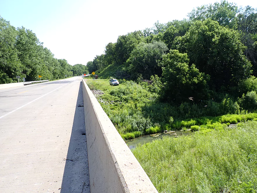
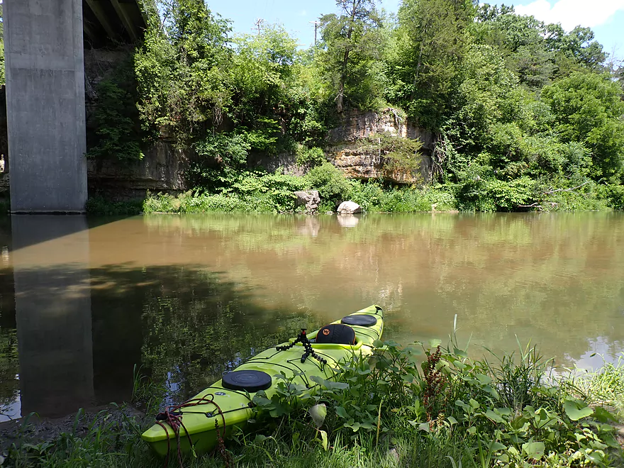
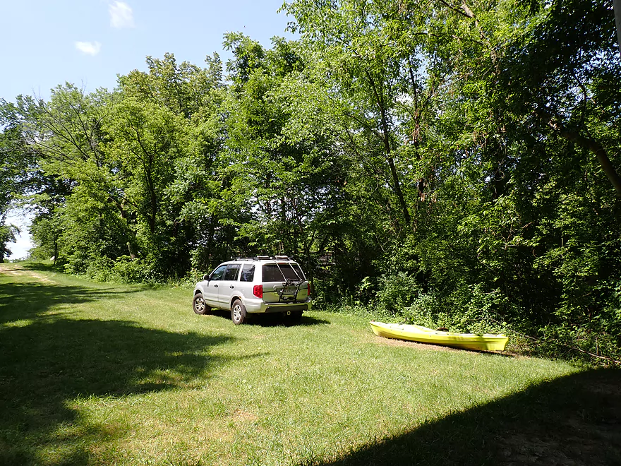
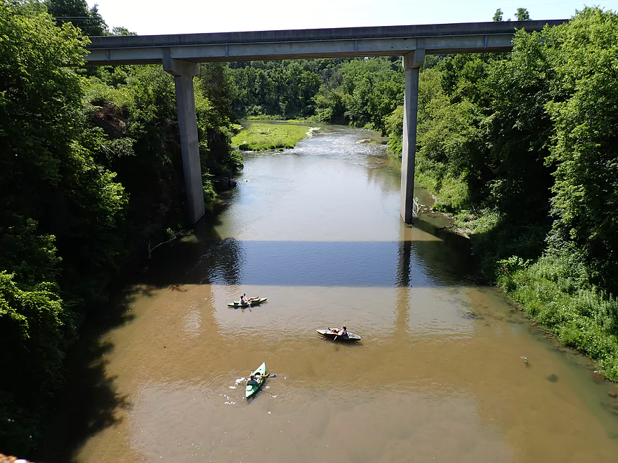
Main put-in at Hwy 13 is a bit rough
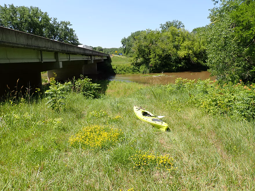
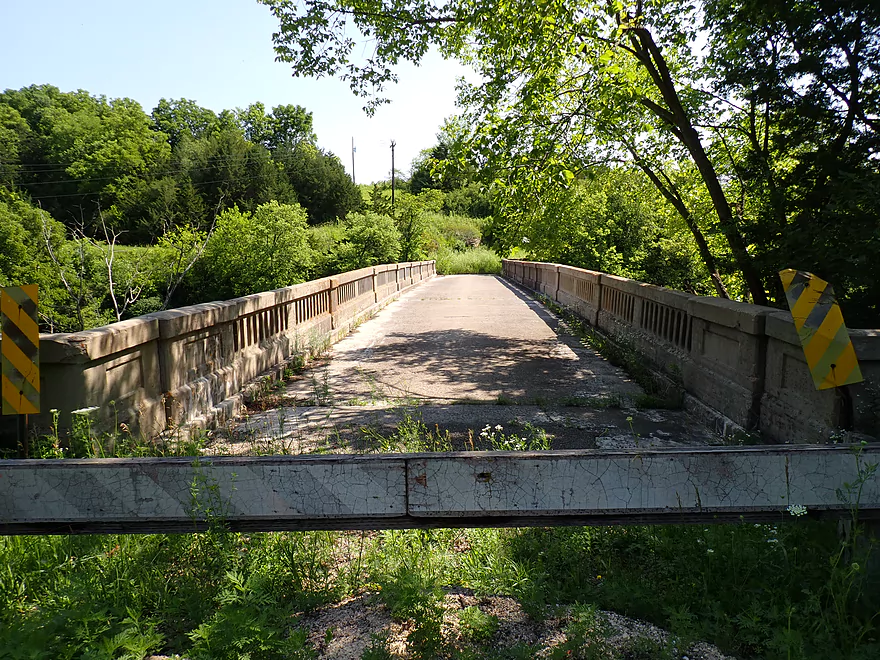
North of the bridge is a better access
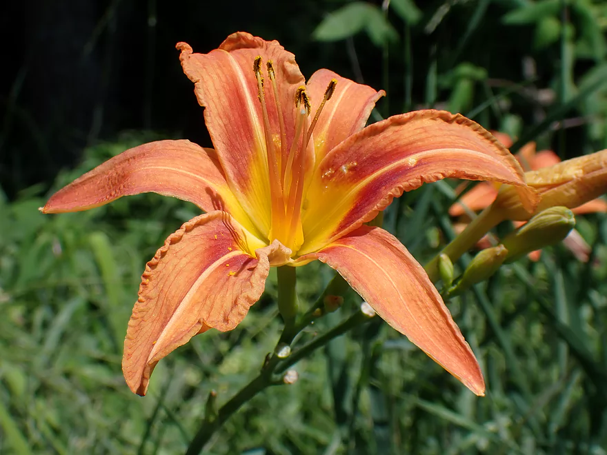
A bankside daylily
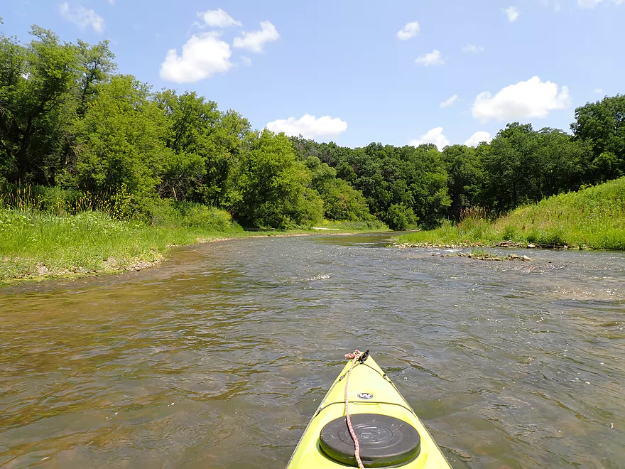
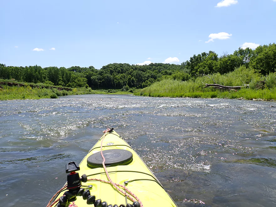
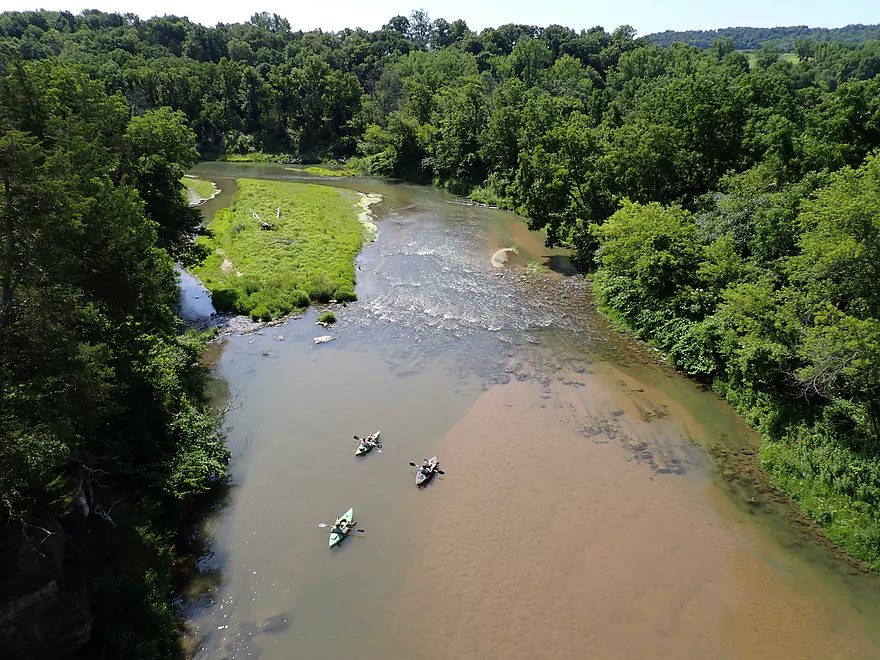
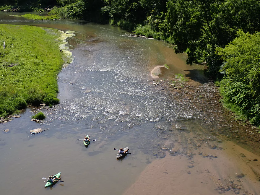
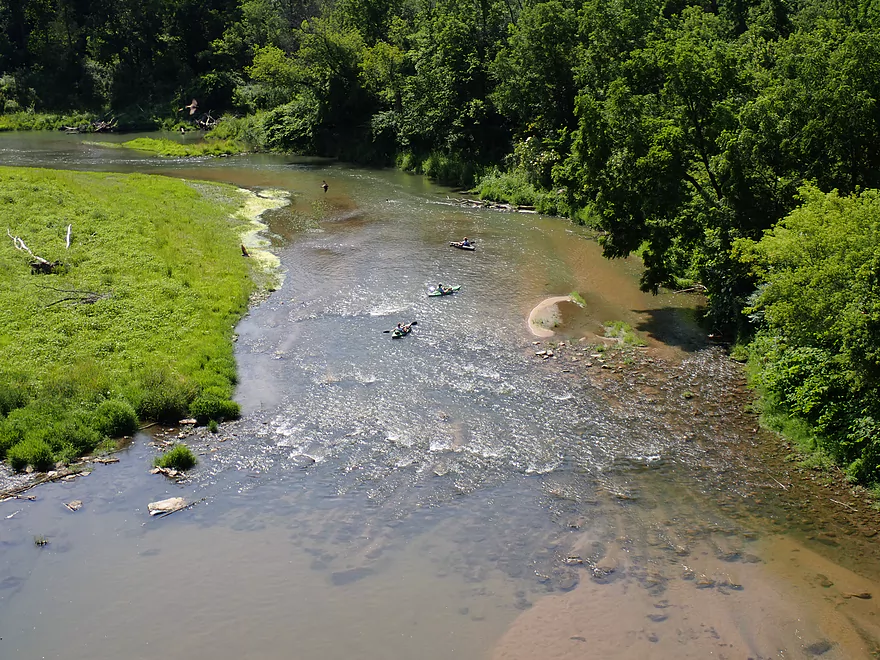
Rapids below the bridge
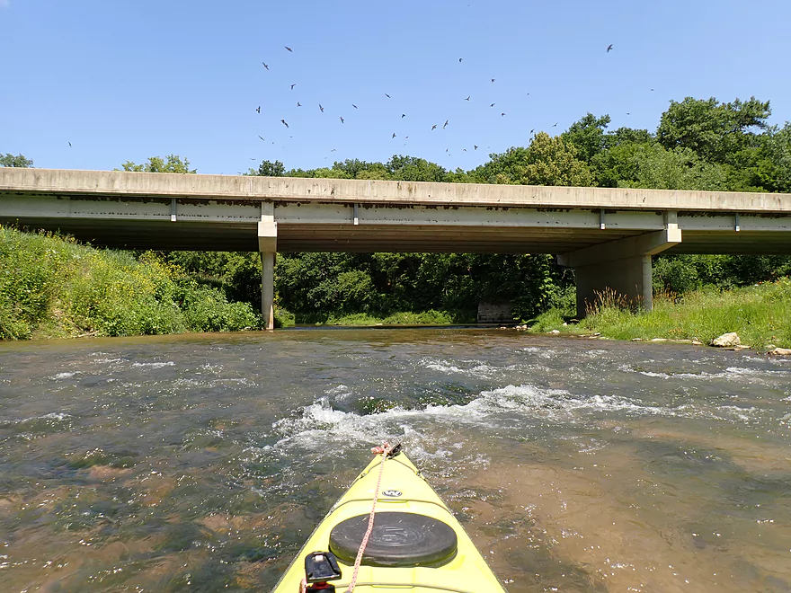
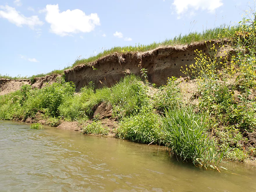
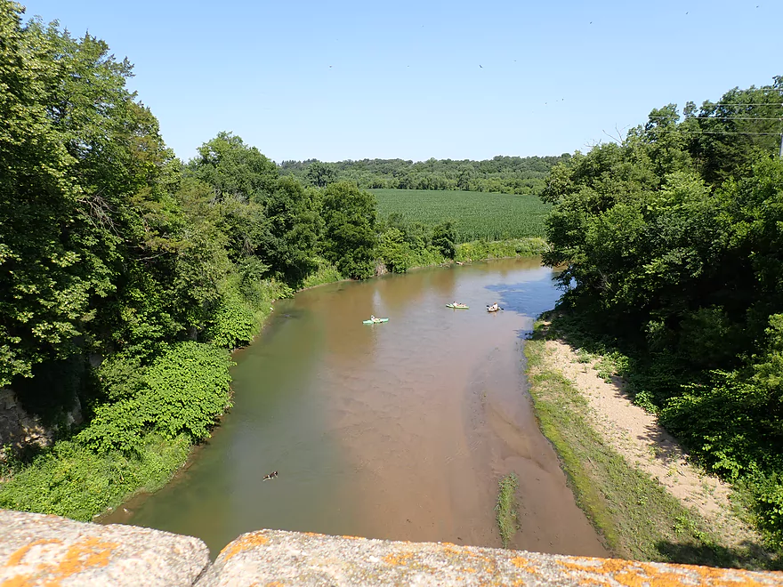
Reverse view (lots of cliff swallows)
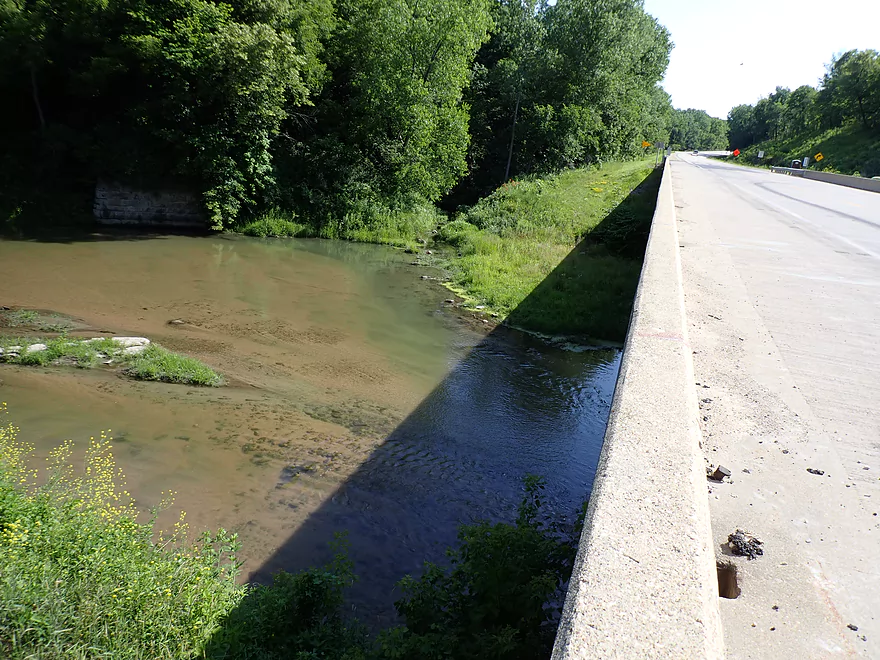
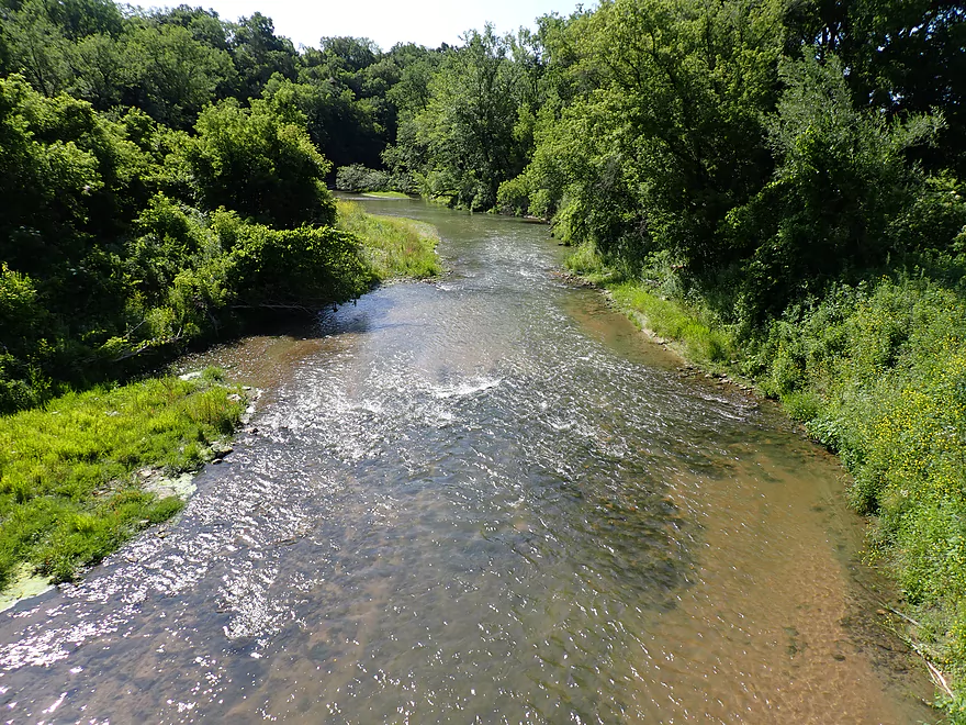
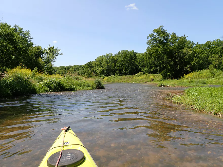
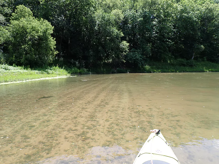
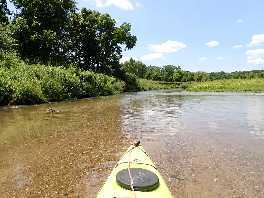
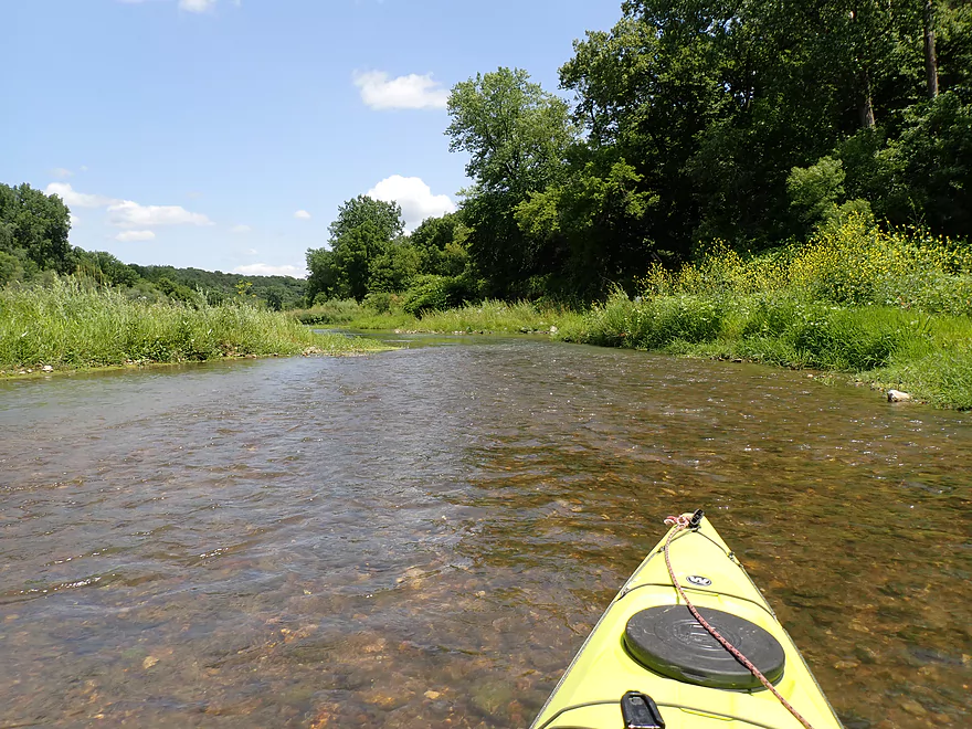
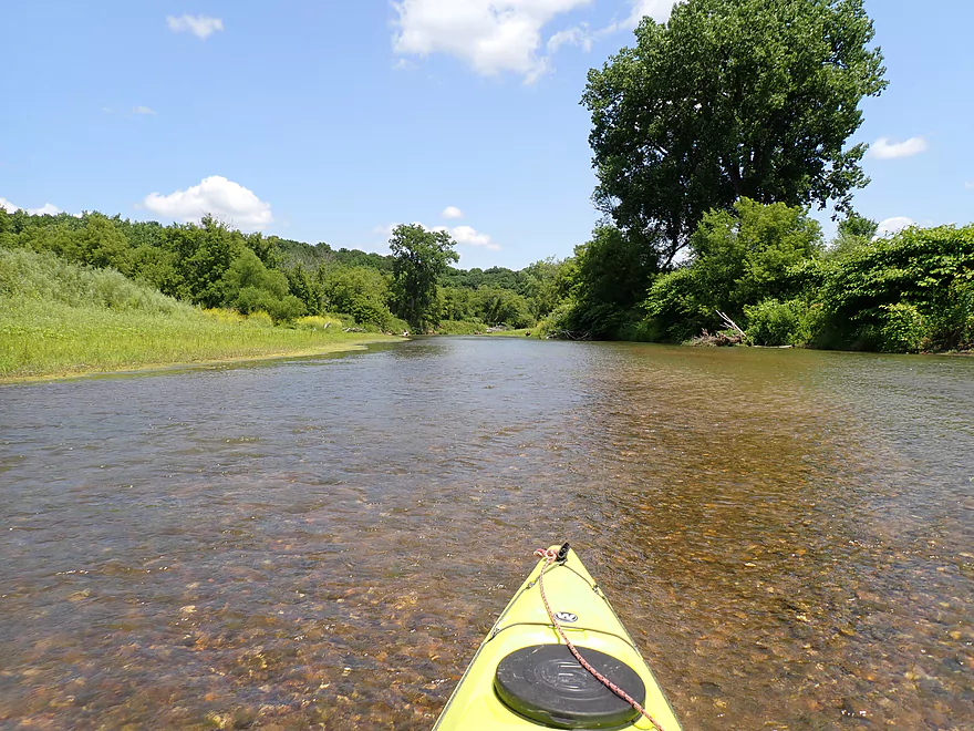
Surprisingly clear water
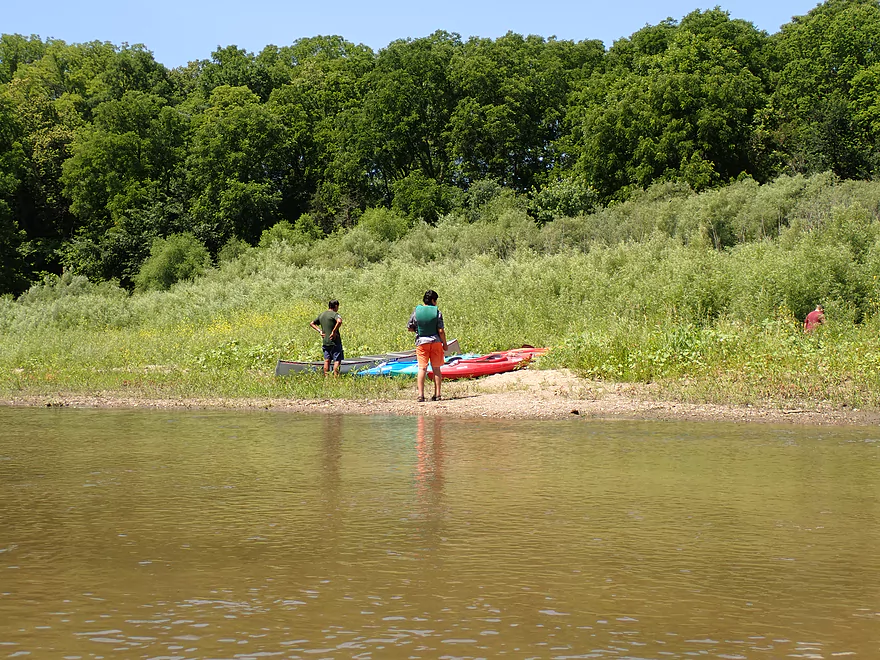
Osborne Park Landing is an alternative access
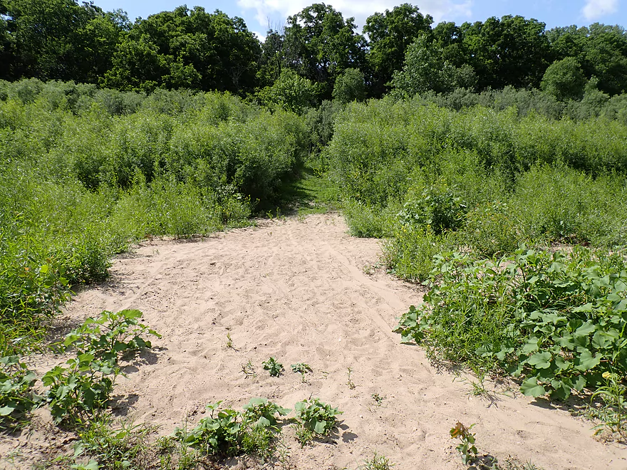
Nice sandy trail leads to a hidden parking lot
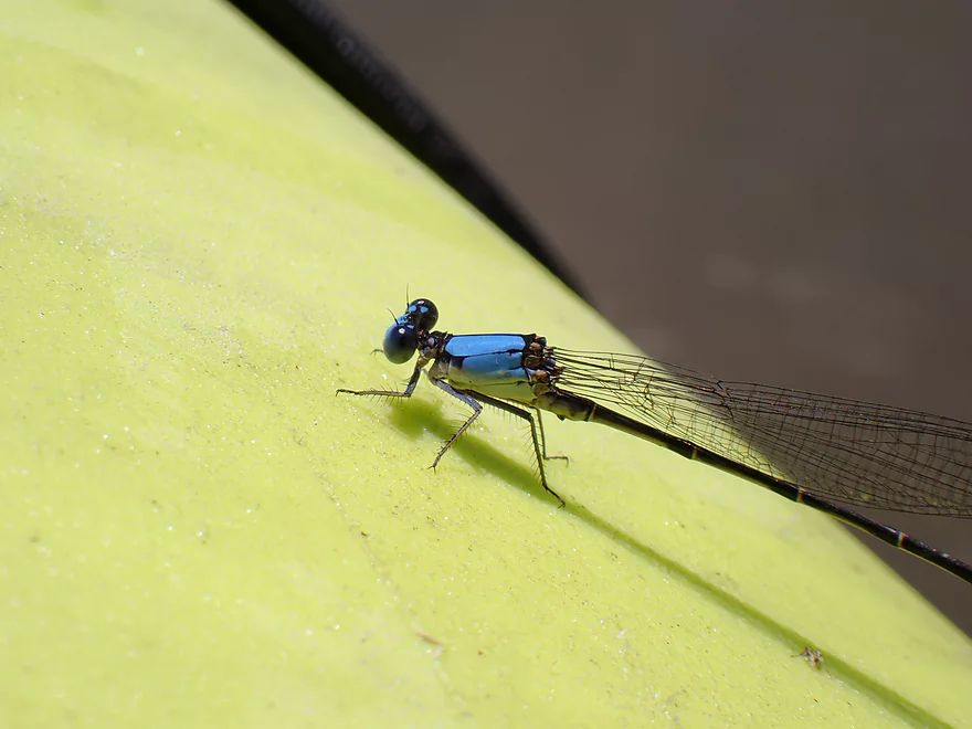
Bright blue damselfly
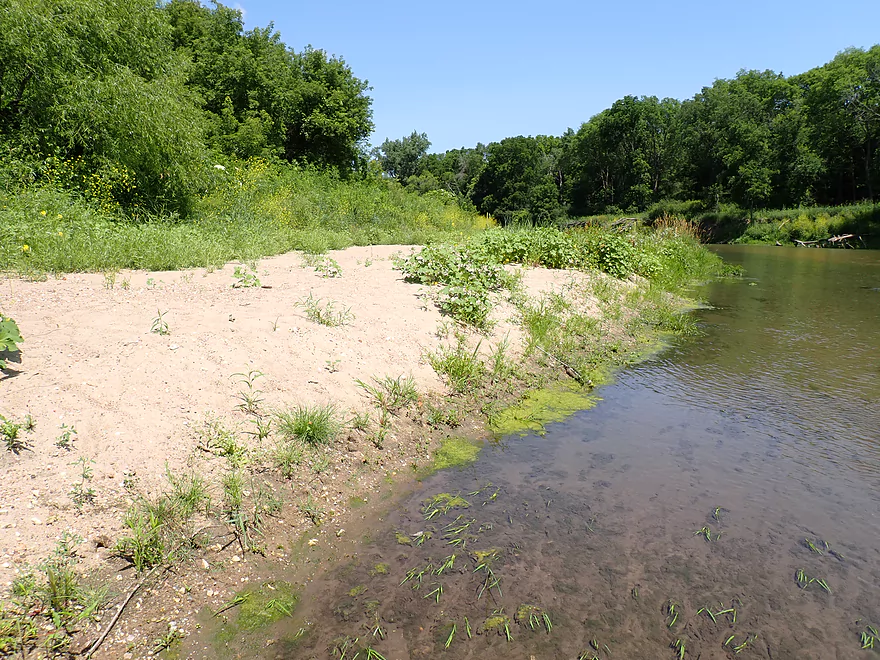
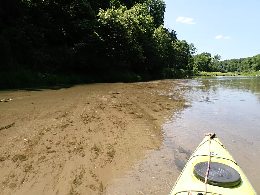
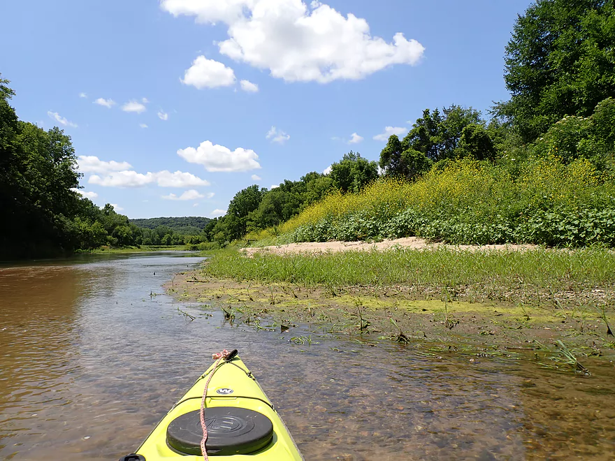
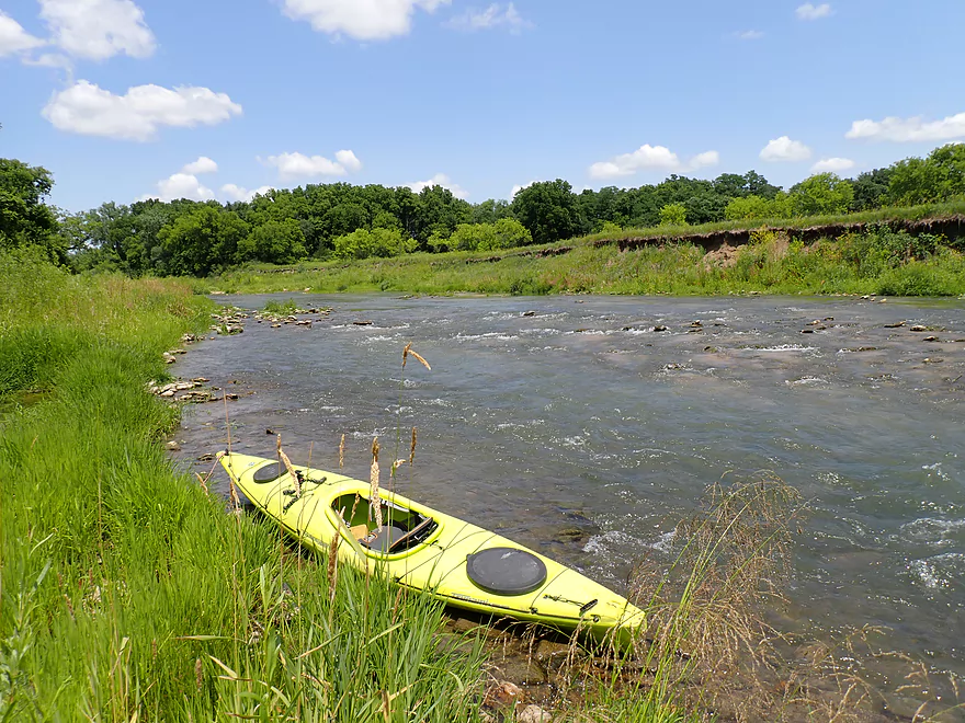
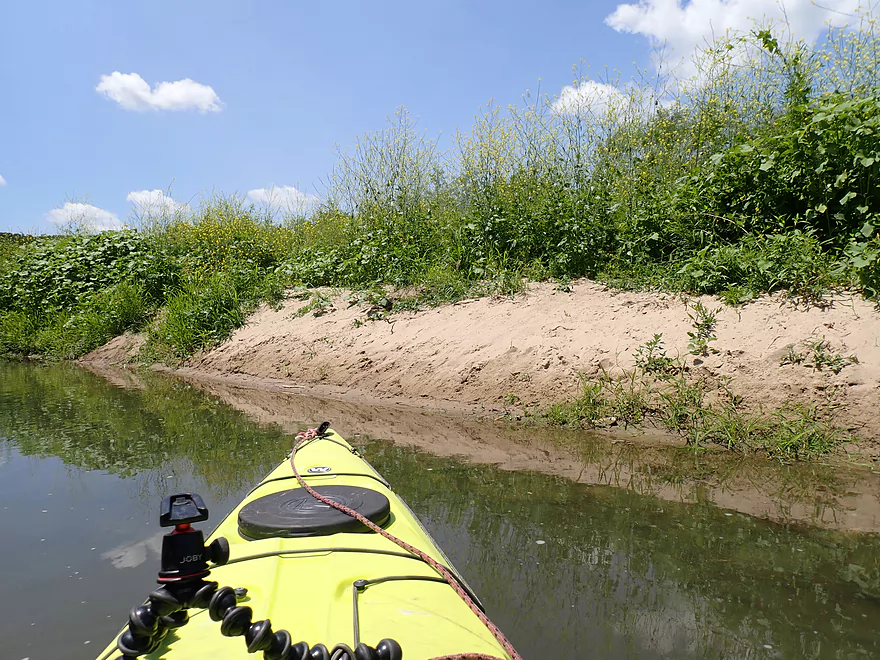
One of a number of sandbars on the trip
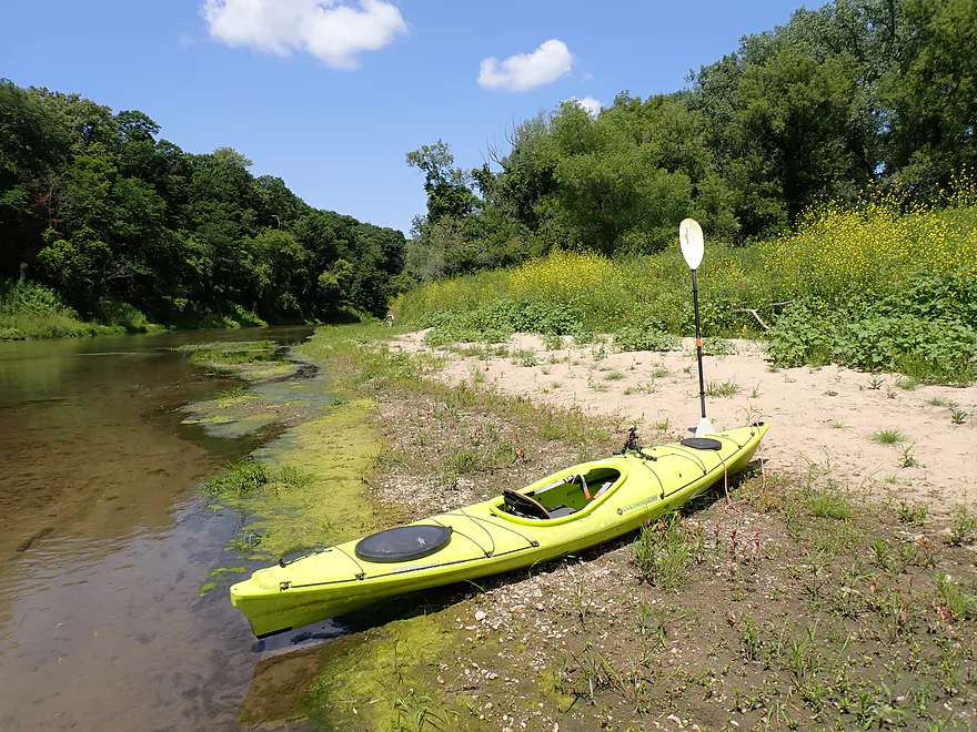
Taking a break on a sandbar to change my camera battery
Cocklebur often grows on streambanks like this.
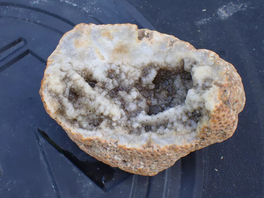
Interesting fossil
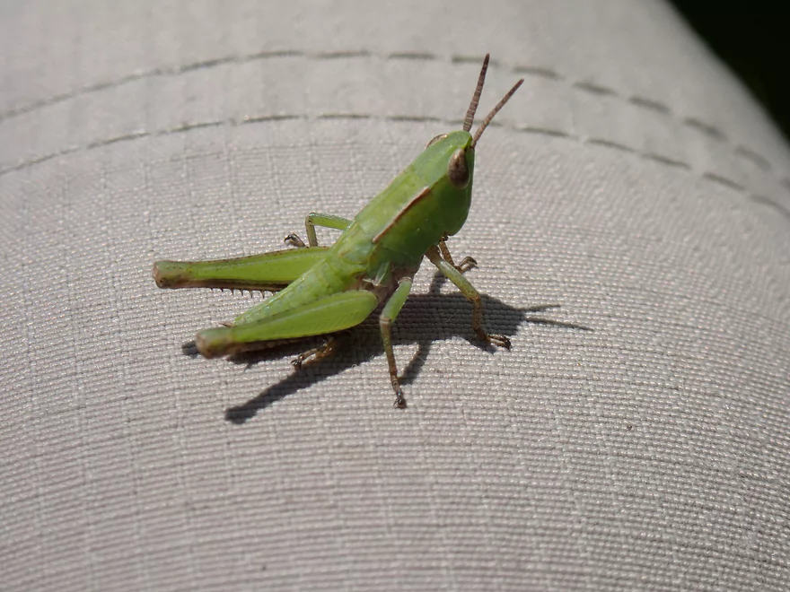
A baby green grasshopper
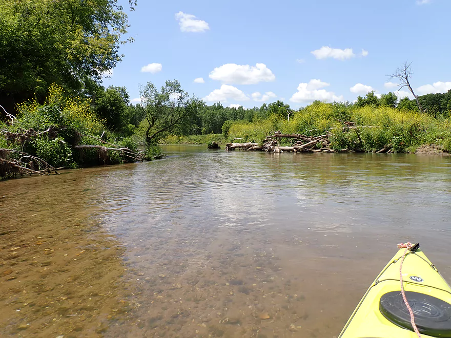
Lot of the sandbars were overgrown with weeds
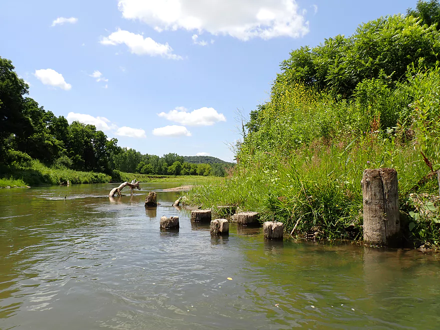
Maybe old bridge pylons
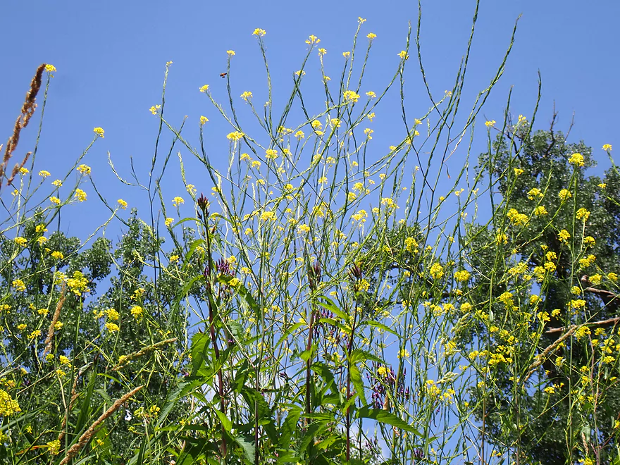
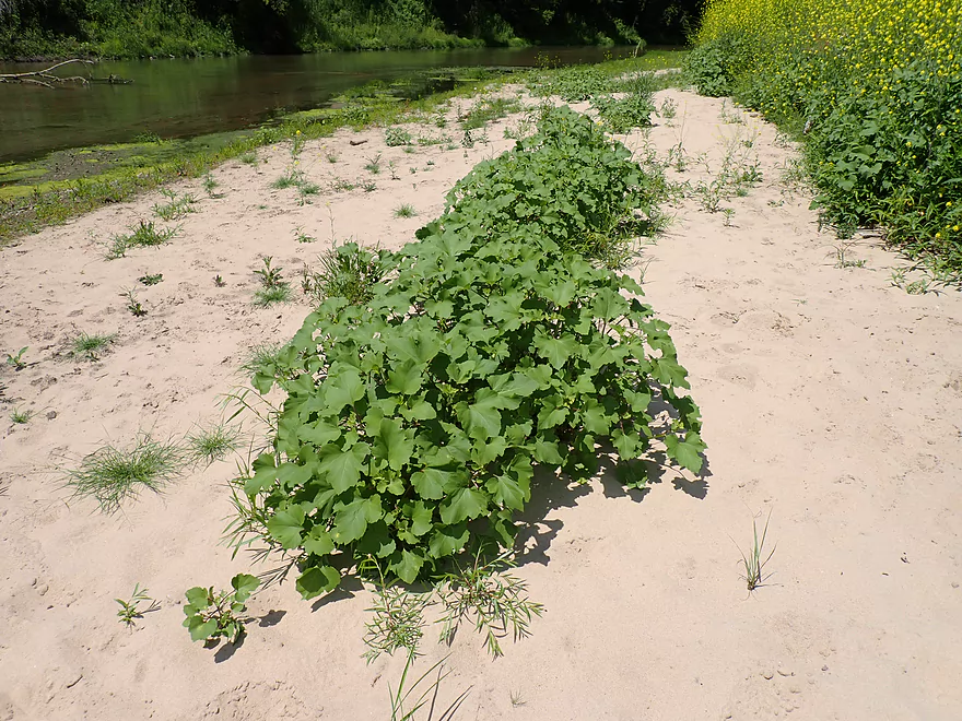
Black mustard plants–attractive, but invasive
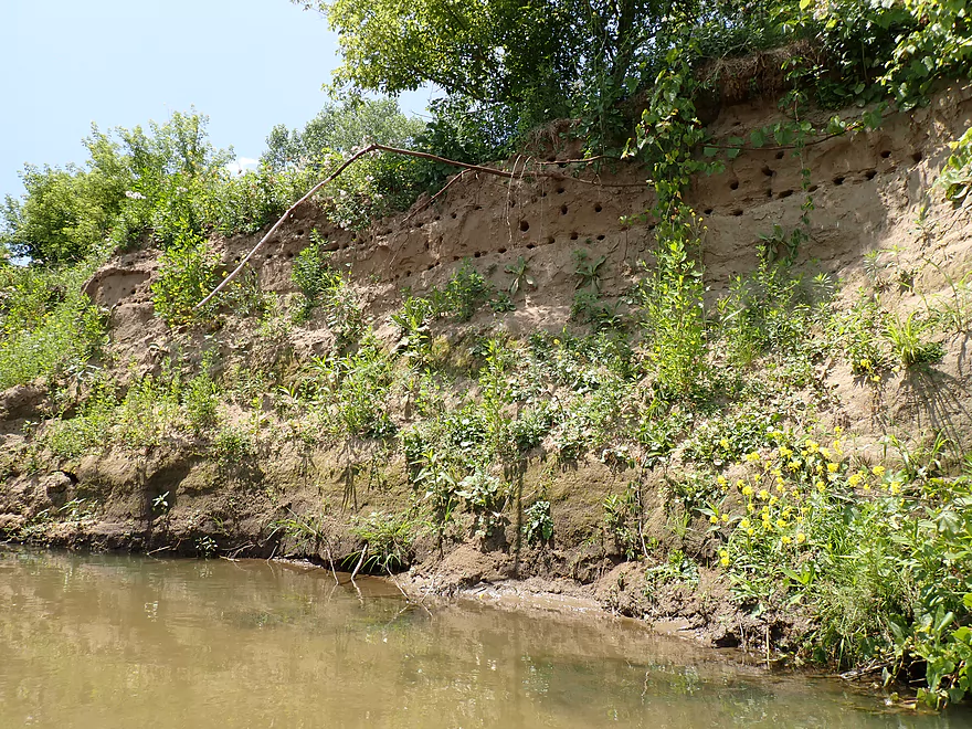
Swallows nesting in the mud banks
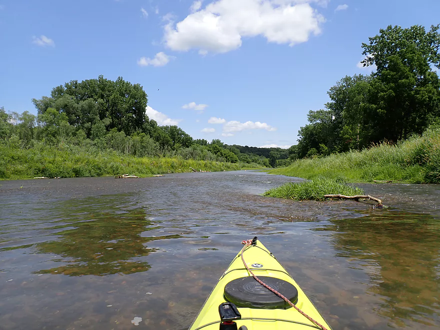
Driftless hills in the distance
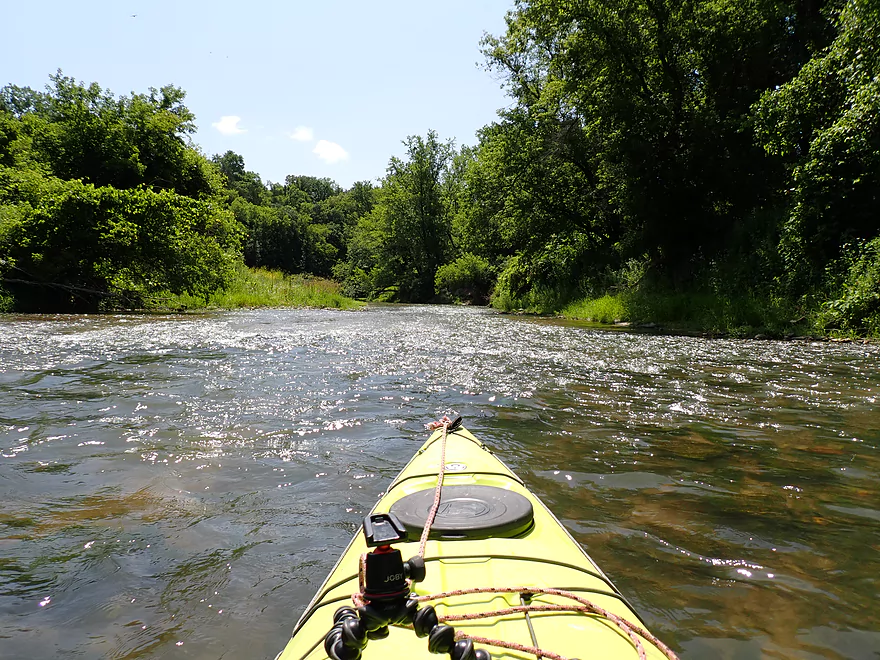
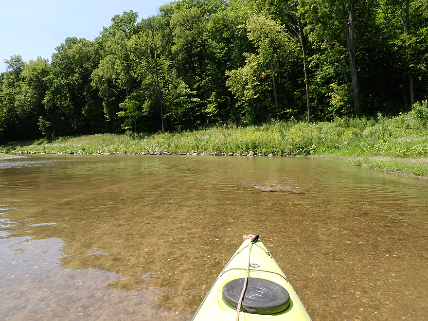
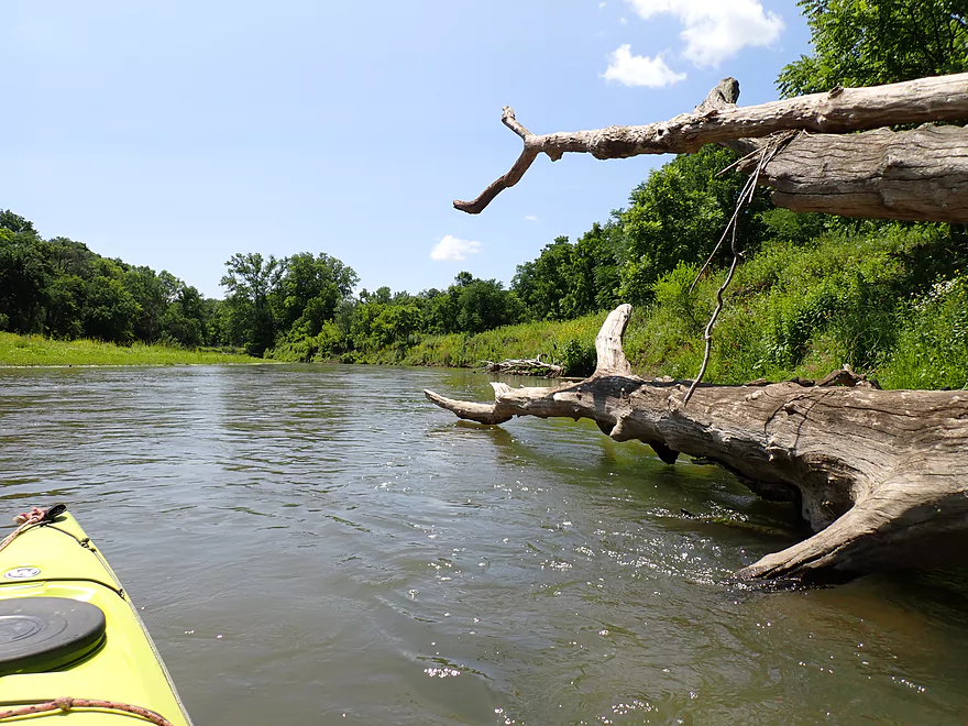
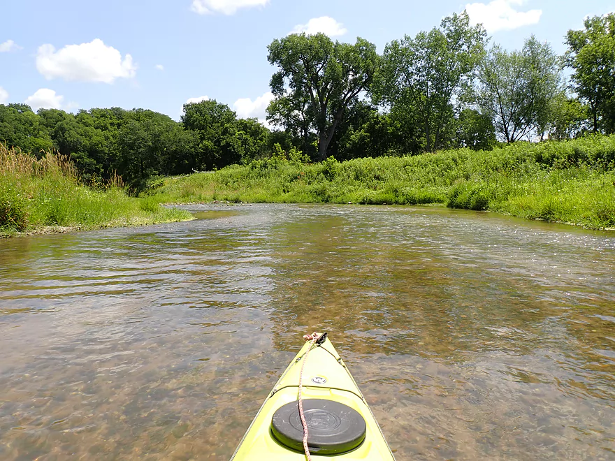
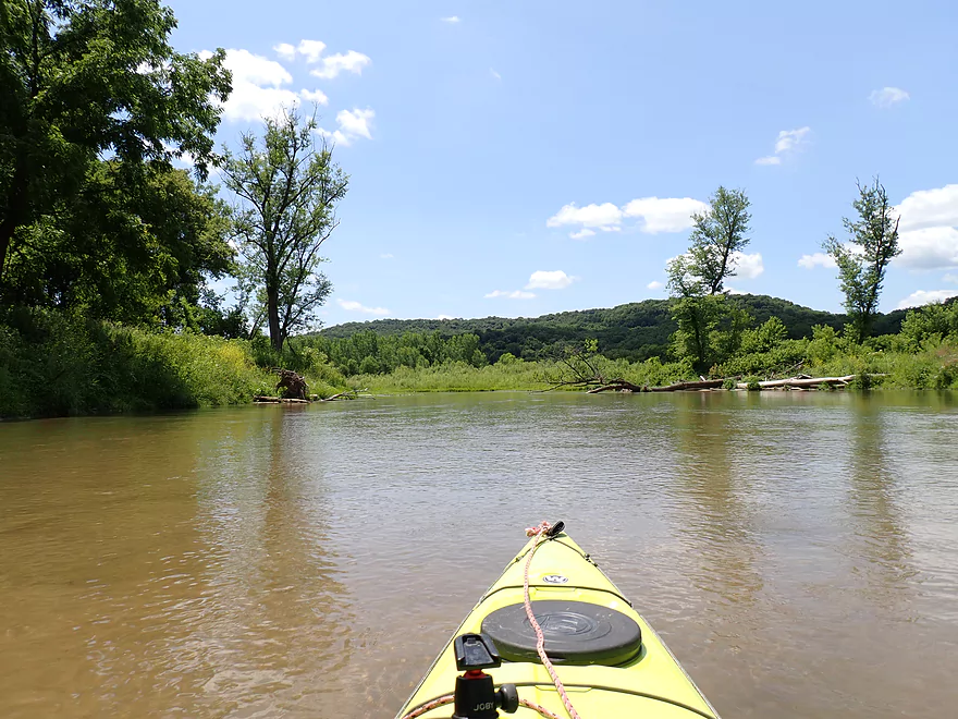
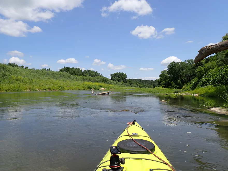
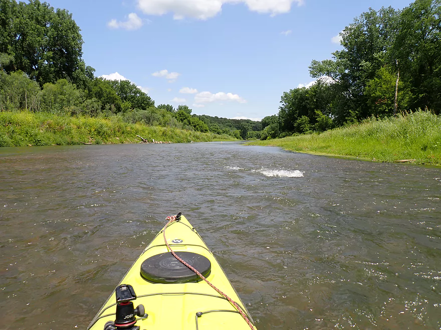
Current starts to pick up
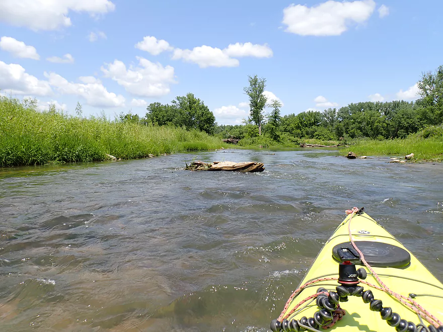
Fun rapids
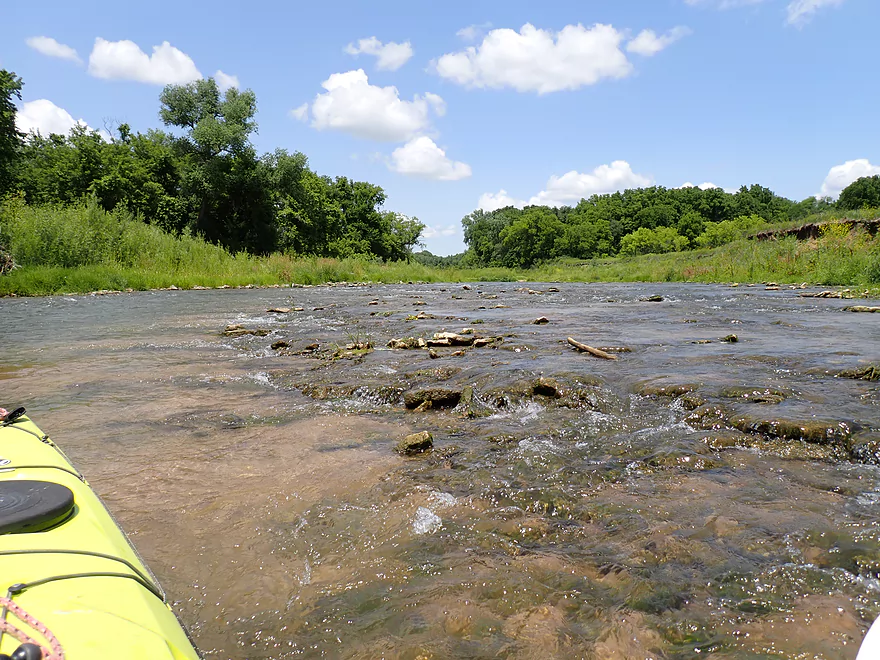
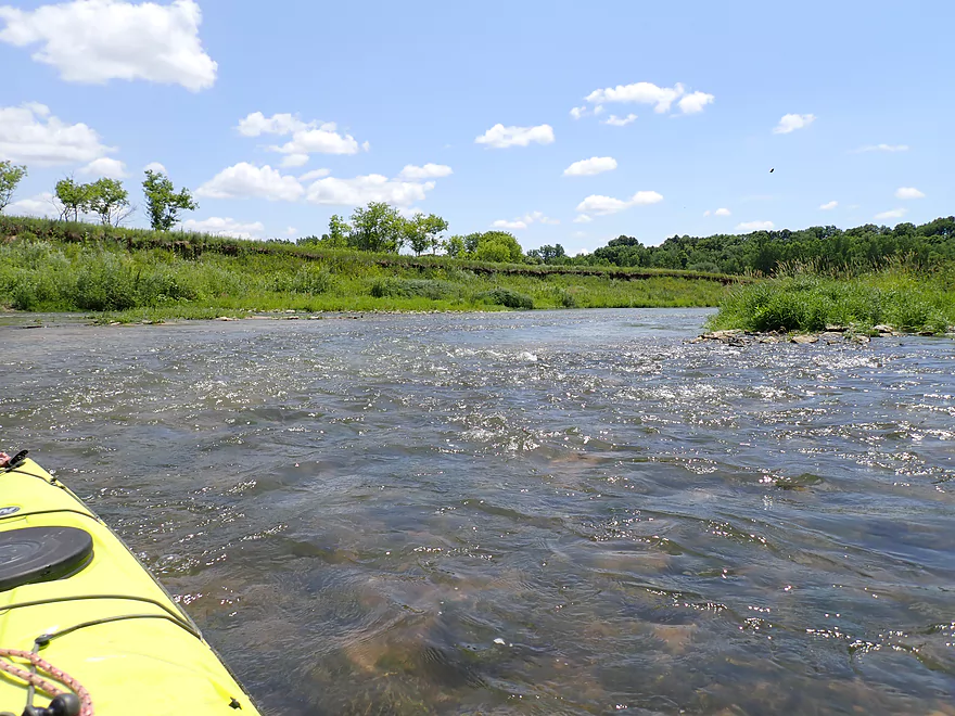
Had to be careful to avoid the shallow parts
Reverse view
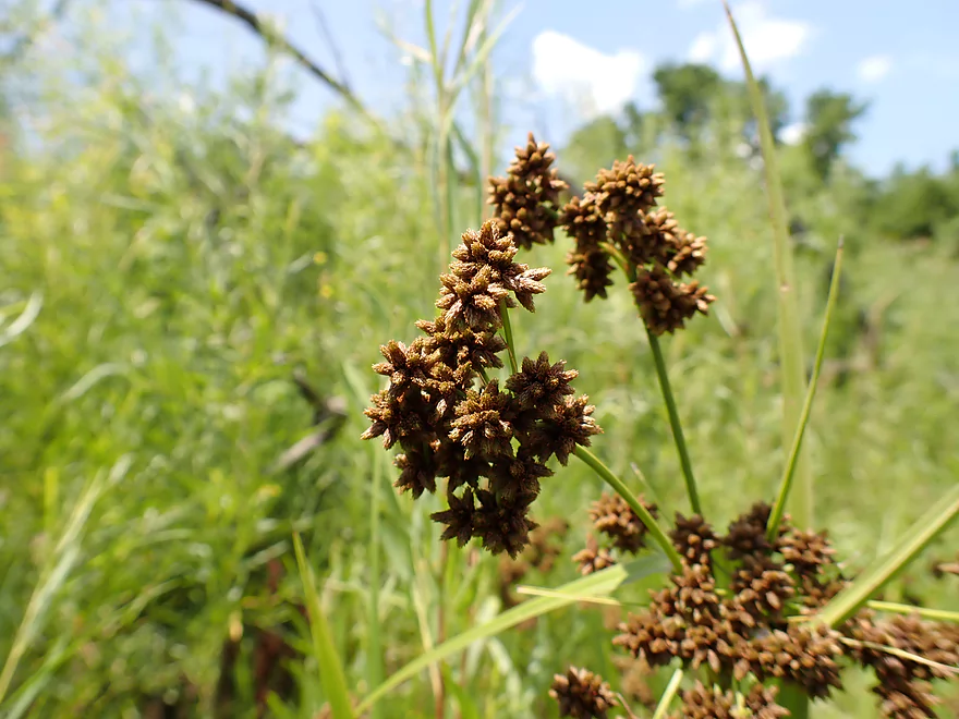
Bulrush seed heads
More mud banks
Last sandbar of the trip
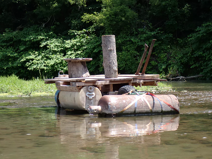
Interesting raft
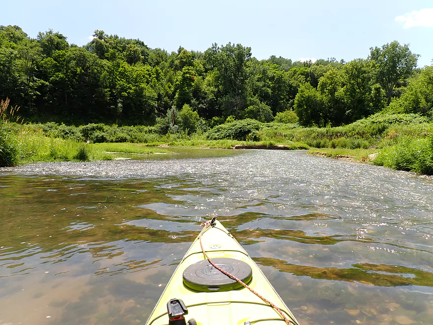
A very shallow stretch around an island
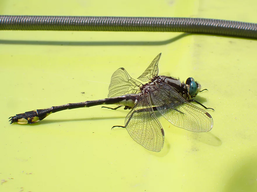
Dragonfly sunbathing on my boat
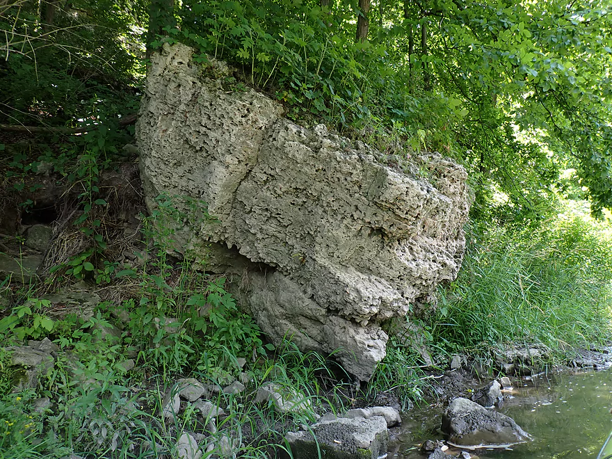
Interesting boulder
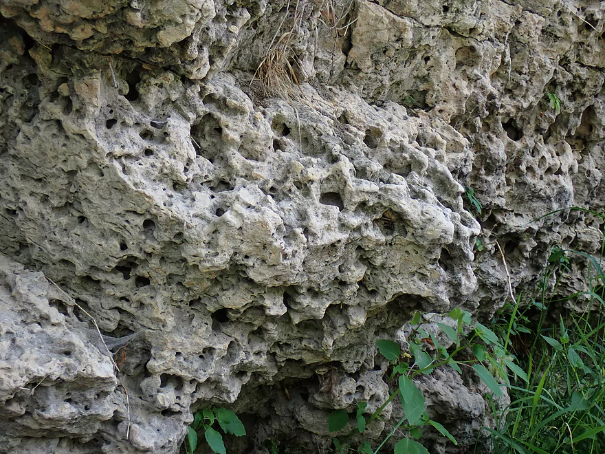
A Swiss cheese rock
Coming up on the end of the trip and a really cool gorge
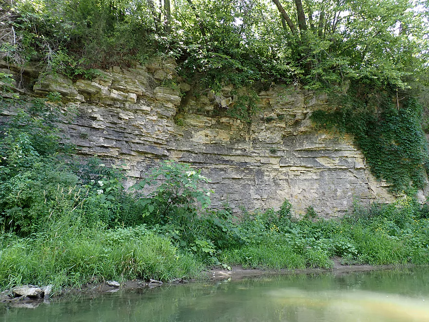
Great limestone outcrop
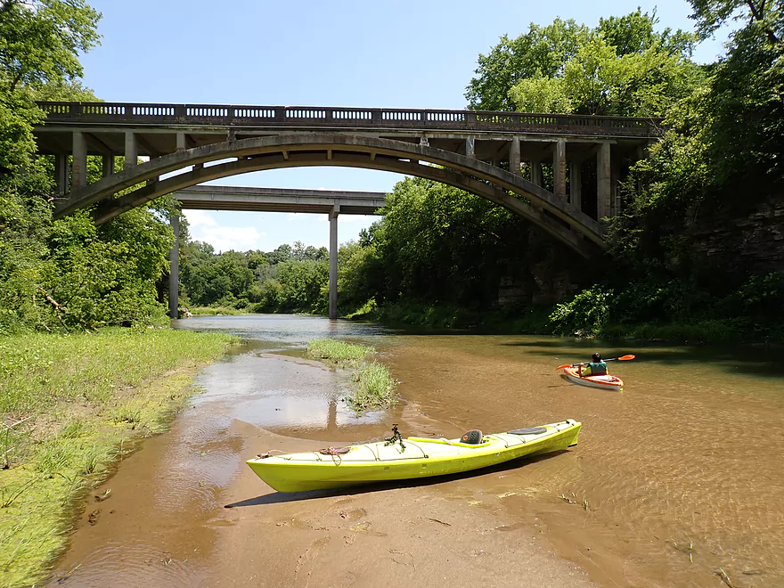
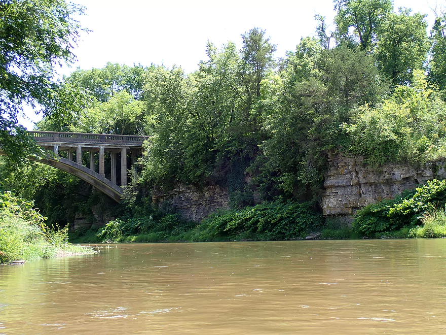
Eclipse Road bridge in front (no longer in use) and Evergreen Road bridge in back
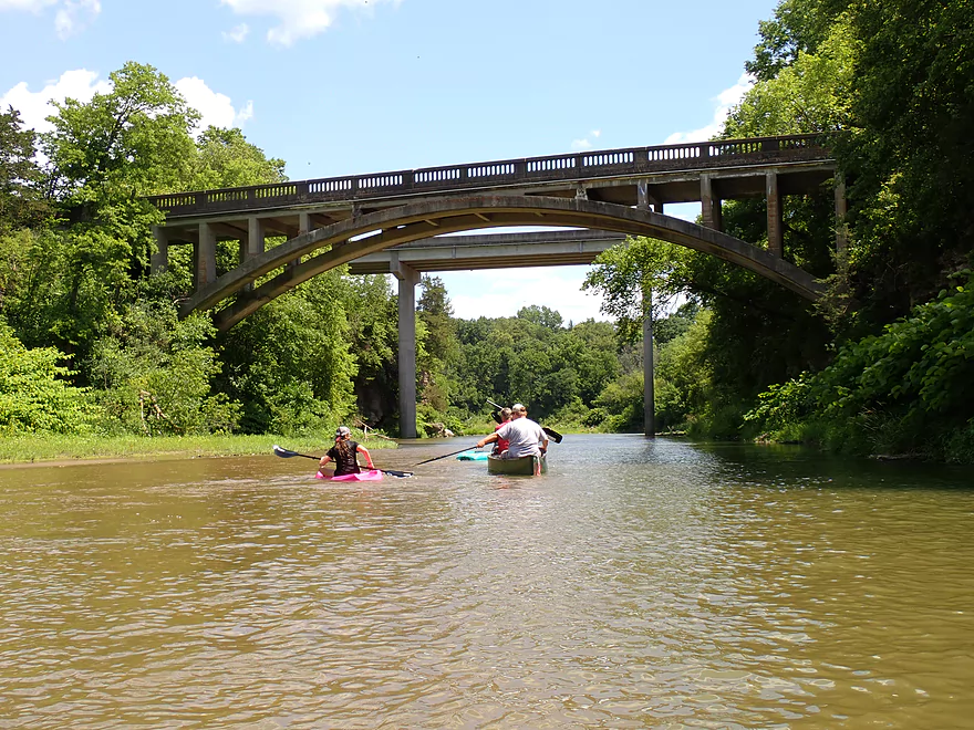
Surprised to see so many kayakers on the river
Taking out between the bridges
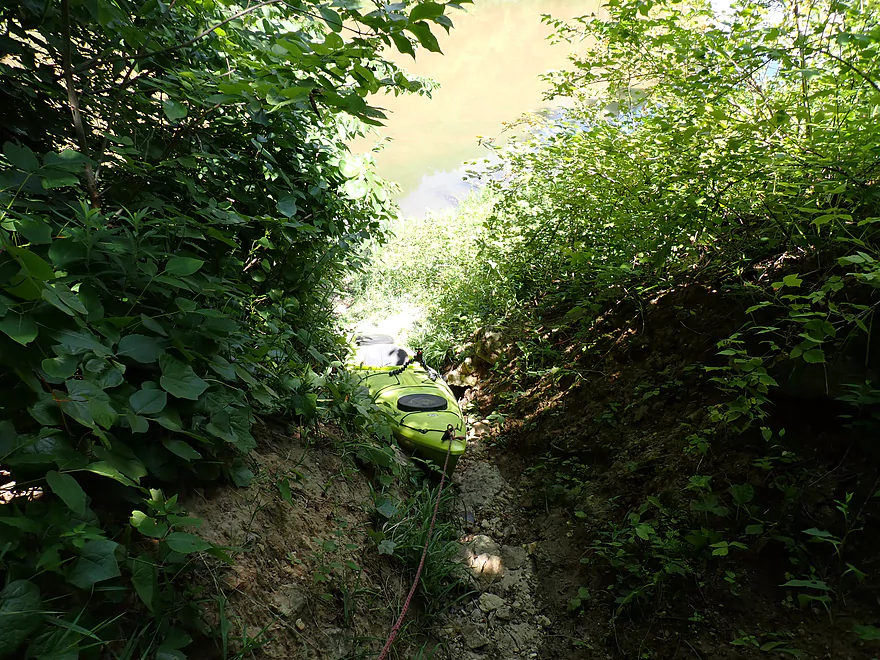
A hidden (and steep) trail leads to the Mederville Landing
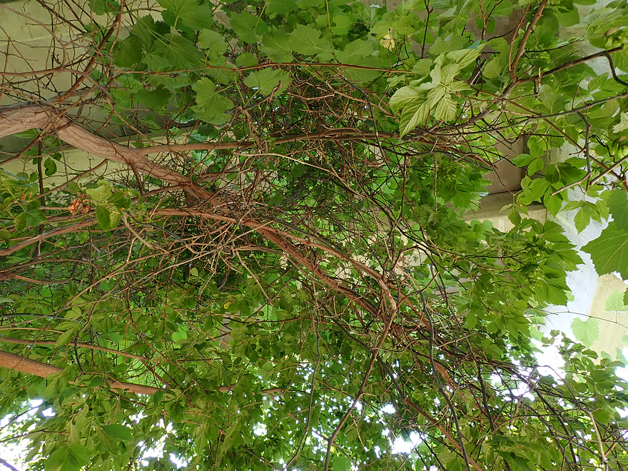
Terrific vines under the bridge
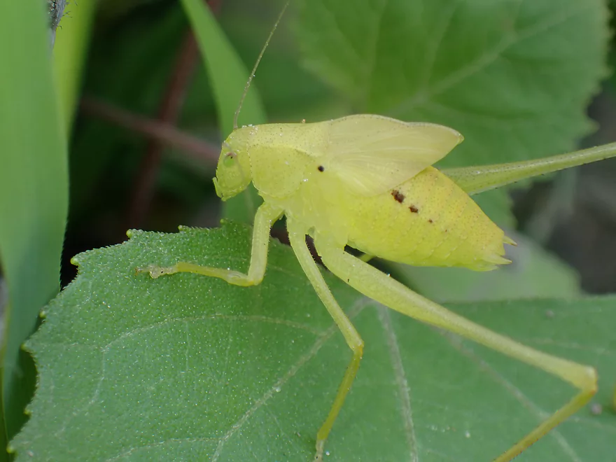
An immature katydid
Very hidden parking lot for the landing
It’s worth it to climb on top of Eclipse Road for the view
Good view from Evergreen Road too
Tracking some kayakers from the bridge
…heading downstream to Evergreen Road…
And to some rapids
Most kayakers don’t take out at Mederville but instead do a longer trip to Littleport
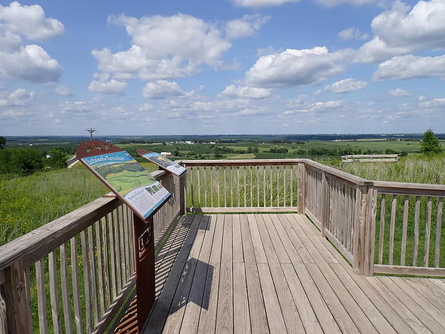
Checking out the “Chicken Ridge Scenic Overlook” after the trip
Volga River – Osborne

The Volga is a solid paddling river located in Northeast Iowa close to the Wisconsin border. Its main claim to fame is its Fayette segment which features fantastic rock outcrops and fun rapids. In fact paddling author Nate Hoogeveen advocates calling in “sick” to run it when navigable, which unfortunately hasn’t been often this year because of the drought. Instead I chose to do a downstream segment by Osborne which while not as scenic, is still relatively popular and has an atypically manageable (for Northeast Iowa) bike shuttle.
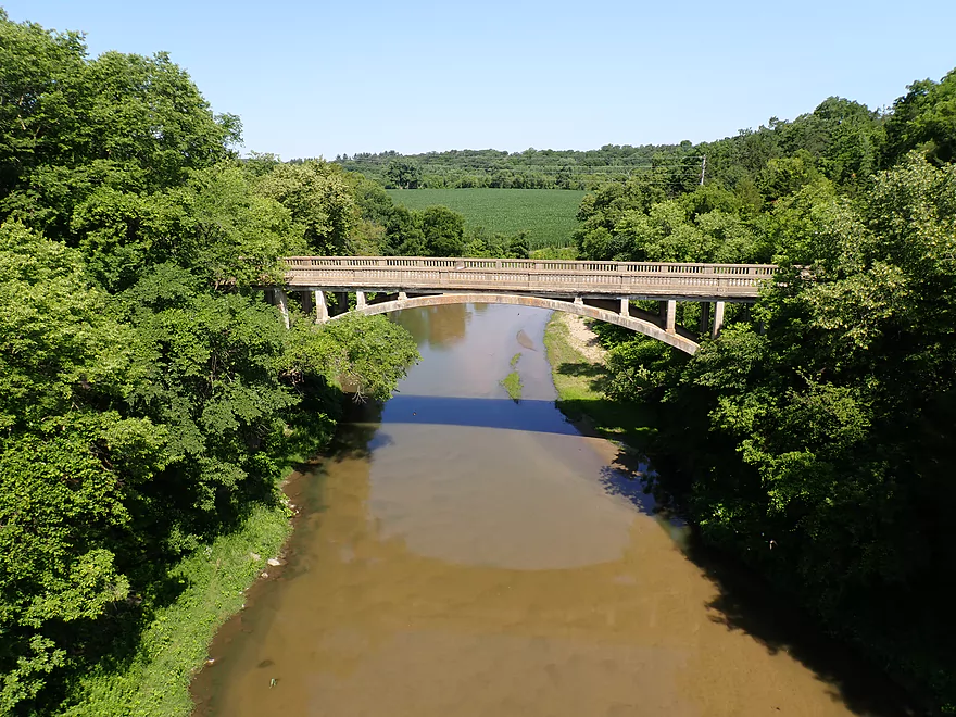
I started the trip at the Osborne bridge (Hwy 13) where it was a little confusing to find where to launch (more on this later), but I figured it out. The bridge is situated atop a hill and affords a great view of the river below, its clear water, and a fun set of Class 1 rapids.
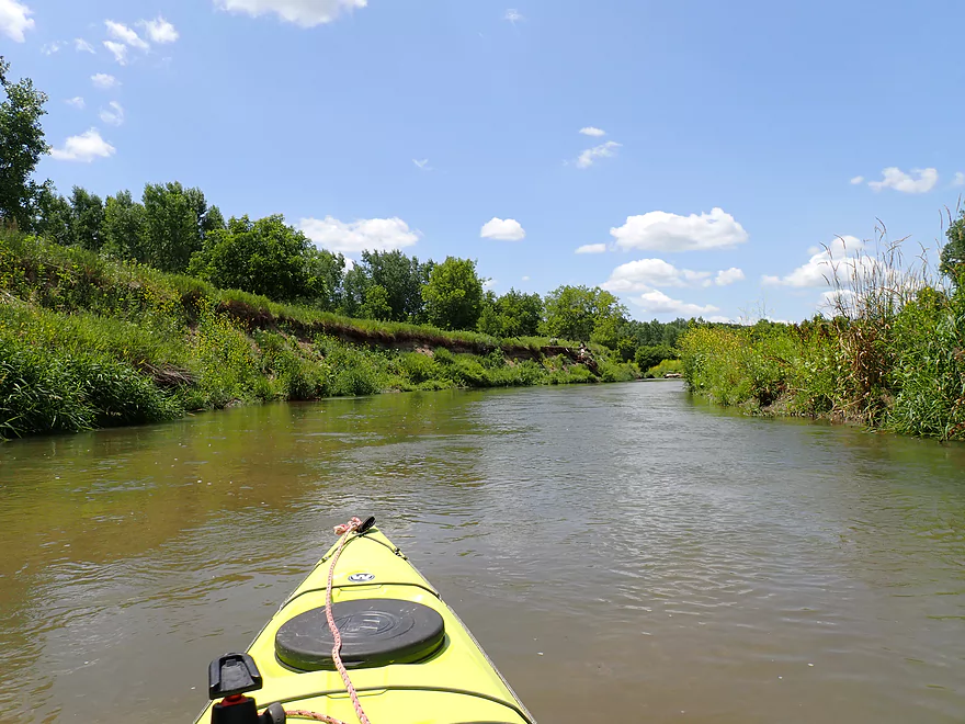
After the scenic put-in, the river became a bit less interesting. This is part of Iowa’s “Driftless Area”* (NE Iowa actually did get hit by glaciers but very long ago) and features a number of rugged hills, sandbars, and gravel bars. What was interesting was how incredibly overgrown and hidden the sandbars were with weeds. A little known fact is that Iowa gets significantly more sunlight than Wisconsin which dramatically affects its climate and biology. This is great if you like sunshine and blue skies, but it also encourages weed/vegetation growth to overrun and obscure what would otherwise be very scenic creeks and rivers. Often to experience the best Iowa offers, you have to paddle its rivers in April or October. I had, based on Nate’s review, hoped to see more rock outcrops on this trip (which I didn’t until the end). I think he did his trip in spring and a very different experience than what I did.
About a half mile into the trip, I passed a sandbar where I was surprised to see a group of paddlers putting in. I asked and apparently there is a well-hidden public access in Osborne Park that locals seem to prefer over Hwy 13. All in all, I was surprised to see so many kayakers (~15) on the river. The Volga while a decent paddling river is typically overshadowed by its neighbor to the north, the Turkey River (deservedly so…the Turkey is a great paddling river and I saw a ton of cars parked at the Elkader landing). In general, I somewhat don’t mind sharing the river with other paddlers, but these were a bit on the noisy side. Remember if you kayak a river your voice carries very far, so try to keep it down. Many of the biggest noise makers were kids who get bored quickly. But still it’s nice to see a river that is safe and popular with kids…something I don’t see too often in Wisconsin.
Most of the trip was solid but not spectacular. I was disappointed with how overgrown the sandbars and bluffs were, as well as the lack of outcrops. The current also slowed down somewhat and it lacked the rapids I thought would be more common. At about the 3 mile mark though I did finally encounter a stretch of river with 4 pitches of Class 1 rapids which were fun and scenic.
The best part of the entire trip was at the end near the community of Mederville. Here the river enters a steep gorge/dells with 30′ limestone outcrops on both sides of the river. The scenery here was fantastic and it single-handedly bumped the trip rating from 3 stars to 4 stars. There are actually two bridges here…the first is an arched bridge that is really cool looking and is one of the most iconic features on the entire Volga River. Light rapids after the second bridge add to the amazing scene.
I ended the trip at the Mederville Canoe Access which was incredibly well hidden. I was feeling kind of proud of myself that I was able to find it and all the other paddlers seemed oblivious that it existed. But I soon learned why nobody else was taking out there…it was crazy steep despite having a rocky path to the river from the parking lot (among the steepest I’ve ever used and I have a lot of experience with crazy access options).
In summary this was a solid trip, but I wouldn’t rank it among NE Iowa’s many elite water trails because of how overgrown it was and the lack of outcrops (until the end). The highlights were the incredibly clear water, the many sandbars/gravel bars, and the gorge at the end. I do believe other stretches of the Volga are actually more scenic. In fact paddling author Hoogeveen suggests the next stretch (Mederville to Littleport) contains fantastic outcrops including a 100′ high cliff and geologic features that supposedly rival the Upper Iowa. But he does warn that foliage obscures the rock faces somewhat (which is why I saved that leg for a fall/spring trip). This also likely explains why so many paddlers skipped Mederville as a take-out in favor of Littleport.
Sights included huge flocks of cliff swallows, a number of spotted fish, deer, and lots of insects including damselflies and dragonflies.
Chicken Ridge Scenic Overlook: This is located just north of the Volga River off of Hwy 13. It’s situated atop a tall hill that separates the Turkey River and Volga River watersheds and offers a nice vista of the area’s rolling hills. Honestly though, it’s not super elite as far as overlooks go and if you miss it, I wouldn’t lose sleep over it.
Osborne Nature Center and Park: This is a public park located near the Volga River. It appears to be popular with locals. Highlights include a nature center, trails, and a small replica 1800s village. The park also includes a public river access, but it can be difficult to find.
Hwy 13: This is a confusing bridge access. There is a public pull-off, outhouse, and nice mowed area for parking northeast of the bridge. However the bank below it is incredibly steep and weedy. Instead I launched from the upstream side of the bridge, which because of a bend in the river offers a more direct and easier access to the river. Note Google Maps incorrectly shows an access to the river far to the east…I saw no evidence of another public access in that area.
Alternate Put-ins:
- Osborne Park Landing (0.5 miles downstream from Hwy 13): Most paddlers prefer to launch here instead of Hwy 13. It lacks the crazy car traffic and big bank of Hwy 13, and there is a nice shady area for parking your car. Warning though, Google Maps doesn’t accurately show where this is and finding it can be very difficult because Osborne Park is huge with multiple entrances on both sides of the river. There are signs for the landing, but they are confusing and in the wrong spots. Here is the EXACT location. You need to find a hidden dirt road (not visible from satellite view) east of the Osborne Cemetery to access the landing. If you’re by the main entrance/village, you’re too far west and you’ll have to backtrack all the way to Hwy 13 and head north to the second park entrance as if you’re heading to the cemetery.
Mederville Canoe Access: This is a shady and well-hidden landing. The only problem is the trail to the river is very steep…so steep it may not be a suitable take-out for some (but would be fine as a put-in). Driving to this can be a confusing…you have to take Eclipse Road from the west and then turn right before the closed bridge. The landing is located between the Eclipse Road bridge and the Evergreen Road bridge. Other sources incorrectly show the wrong location for this landing.
Alternate Take-outs:
- Littleport Park (5.9 miles downstream from the Mederville Canoe Access): This is a popular take-out…in fact the vast majority of paddlers who start from Osborne/Hwy 13, will take out here and not Mederville. This is a scenic leg with multiple bluffs and outcrops.
Bike Shuttle – Mederville Canoe Access to Hwy 13: 4.1 miles with 128′ of ascent. There is a big 100′ hill to climb on Hwy 13, but this is otherwise an easy bike shuttle that is all paved with no gravel. Finding kayak/bike shuttle routes in Northeast Iowa that aren’t too long, too hilly, or have too much gravel can honestly be difficult. Exceptions like this are part of the reason I did this trip.
Liveries/Rentals:
- Turkey River Rentals – 563-245-3802. These guys normally do the Turkey River, but because the Volga is so close by they might service that too. Call well in advance to ensure availability.
- Bigfoot Canoe Rental – 319-238-2064. The owner mostly services the Yellow River, but he did tell me does occasionally offer services for the Turkey and Volga Rivers.
Current: It moves at an average speed with 4-6 easy, light rapids (Class 1).
Logjams: There are no logjams on this stretch.
Shallow Water: There were some shallow spots, but I didn’t think it impacted the trip too much.
Closest Gauge: Volga River at Littleport
Trip Depth: 140 CFS or 4.53′
Navigability Estimates: The following are very rough estimates. Always use your own judgement.
- < 4.1′: This is likely too shallow.
- 4.2′-4.3′: This might be too shallow.
- 4.4′-4.6′. A shallow depth but should be fine for paddling.
- 4.7′-4.9′: Above average. Should be ok for paddling but clarity won’t be as good.
- 5.0′-5.3′: A high-ish depth. I think the river should be navigable, but might be pushy in spots.
- 5.4’-5.8′: High level. Perhaps only suitable for experienced paddlers.
- 5.9′-6.2’+: Very high levels. Only suitable for expert paddlers.
- Upstream from Twin Bridges Park: Two branches join here. Both may be navigable, but I don’t know. There is an impounded lake on the Little Volga at Maynard that is likely somewhat kayak friendly.
- Twin Bridges Park to M Ave: 3.6 miles. Diverse trip with woods, savannas, riffles and pools. Likely needs high water to run.
- M Ave to Klocks Island Park Campground: 4.5 miles. Scenic trip with outcrops, bluffs, and rapids (Class 1+). Paddling author Nate Hoogeveen says this stretch contains a “breathtaking set of cliffs”.
- Klocks Island Park Campground to Old Highway 150: 1.1 miles. Includes riffles and one nice limestone bluff.
- Old Highway 150 to Langeman’s Ford: 2.5 miles. Stretch includes multiple light rapids and a few small limestone outcrops.
- Langeman’s Ford to Heron Road Landing: 8.0 miles. This is likely the best stretch of the river. The Volga flows through a state park (Volga River State Recreation Area) and features many steep bluffs and cliffs.
- Langeman’s Ford to 146 Street Landing: 1.4 miles. Scenic stretch with steep bluffs, springs, boxy limestone formations, and 30′ cliffs.
- 146 Street Landing to Hill Road – West Landing (Albany Bridge): 3.9 miles. Maybe the best leg on the river with many steep bluffs, cliffs, swift current and large boulders.
- Hill Road – West Landing (Albany Bridge) to Hill Road – East Landing: 1.0 miles. Features a nice trestle bridge and one steep bluff.
- Hill Road – East Landing to Hill Road – North Landing: 0.4 miles. A flatter section but there should still be some nice big boulders and good scenery.
- Hill Road – North Landing to Heron Road Landing: 1.3 miles. Last leg of the park. This stretch is flatter with far fewer hills but does have some nice gravel bars and a historic iron trestle bridge.
- Heron Road Landing to Fox Road: 4.2 miles. Probably a less interesting leg with more lowlands and fewer hills.
- Fox Road to Grannis Creek Landing: 0.3 miles. Likely a generic stretch.
- Grannis Creek Landing to W51: 3.3 miles. Narrow wooded valley. There may be some logjams on this leg.
- W51/Wadena to Acorn Road: 2.9 miles. A more open stretch with large sandbars. W51 may not be a suitable access point…instead the wastewater plant to the east may be a better launch option.
- Acorn Road to Birch Road Shoulder: 5.9 miles. A more obscure leg with little written about it. It likely is more open with fewer bluffs/cliffs (if any). However there should be some absolutely huge sandbars and gravel bars which should be cool. Note the put-in and take-out are speculative and may not be suitable.
- Birch Road Shoulder to Volga/C2W Bridge: 3.5 miles. Paddling author Nate Hoogeveen says this stretch has some nice pines, a long stretch of cliffs and rapids where the dam was removed. Note the Birch Road shoulder is a speculative access and may not be suitable.
- Volga/C2W Bridge to Hwy 13: 9.0 miles. Starts more open and likely less interesting, but there should be a few stretches with decent bluffs and cliffs.
- Hwy 13 to Mederville Canoe Access: 5.3 miles.
- Hwy 13 to Osborne Park Landing: 0.5 miles. An ok stretch with clear water, wooded banks, and a small set of rapids by Hwy 13. Warning neither access point is correctly labeled by Google Maps.
- Osborne Park Landing to Mederville Canoe Access: 4.8 miles. A pleasant stretch with good water clarity, large sandbars/gravel bars, and wooded hills. There is a scenic arched bridge and gorge with outcrops near the end at Mederville. Warning: both the put-in and take-out, despite being public landings, are difficult to find.
- Mederville Canoe Access to Littleport Canoe Access: 5.7 miles. This is a terrific leg and likely the most popular on the Volga River. Highlights include mostly undeveloped banks, fun Class 1 rapids, exposed outcrops, and phenomenal bluffs. Note the trees do obscure many of the rock faces, so this might be a trip best done in late fall or early spring.
- Littleport Park to Grandview Road: 9.3 miles. Some cliffs and bluffs, but likely not as good as the previous legs.
- Grandview Road to Mouth on Turkey River: 0.5 miles. Likely a generic stretch.
- Mouth to X41 Landing: 1.3 miles. Short stretch on the Turkey River to reach a proper landing. Likely not an elite stretch but there should be one nice bluff.
- For more information on the Turkey River, see my Turkey River Overview Map.
Trip Map
Overview Map
Video
Photos Size: