
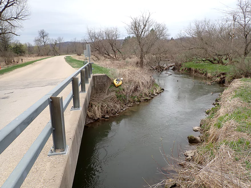
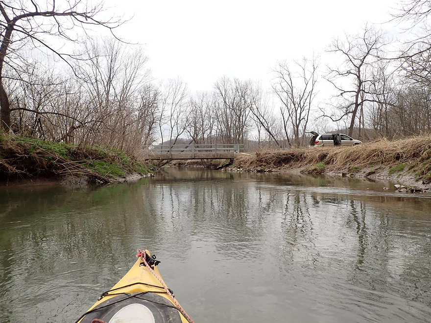
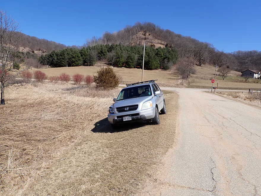
Put-in at Excelsior Rd
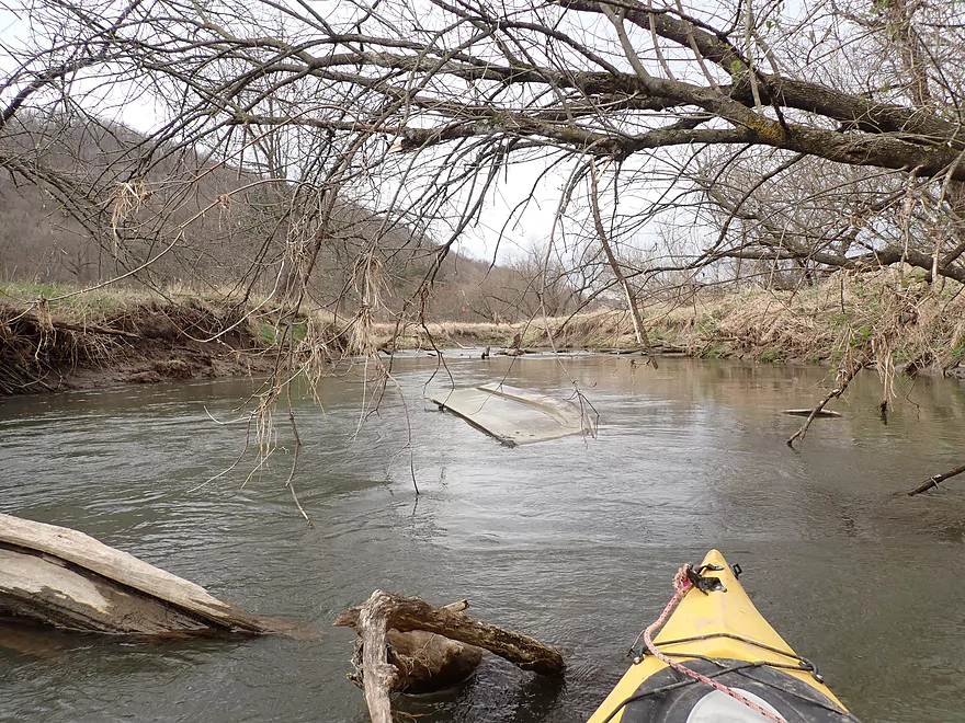
A partially submerged boat
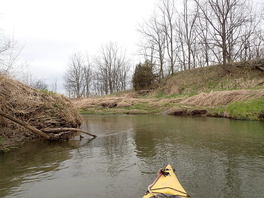
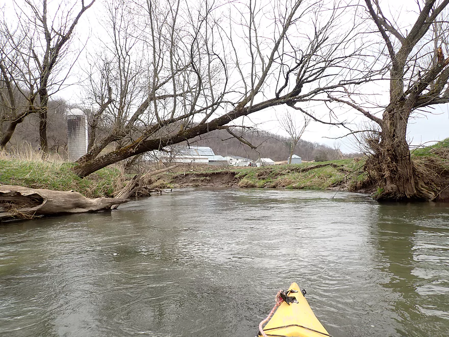
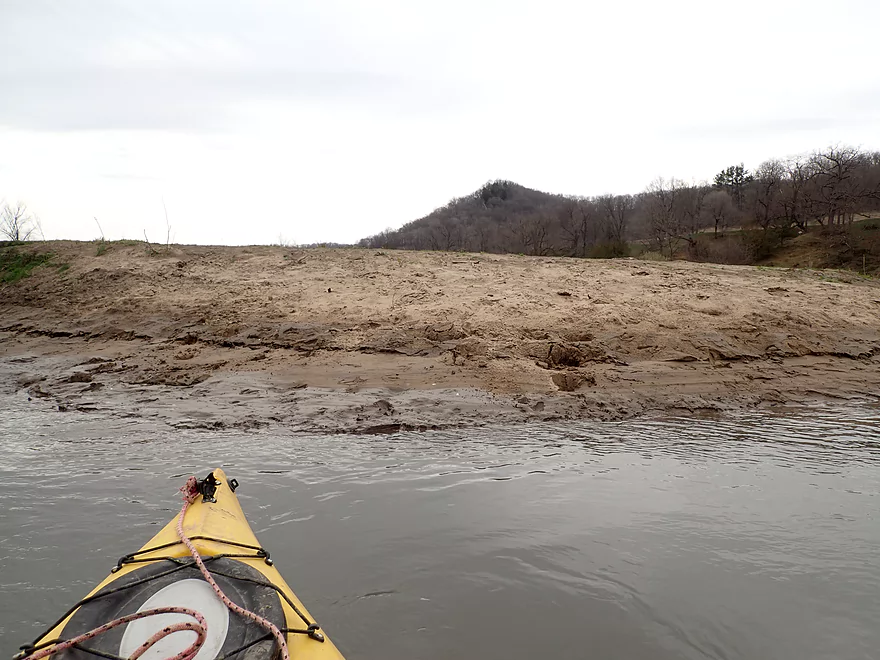
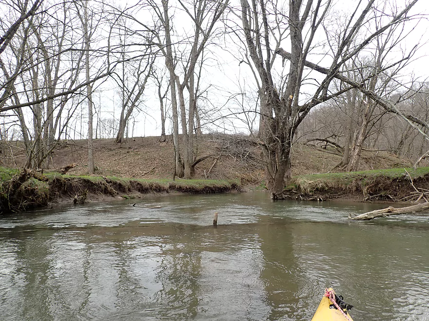
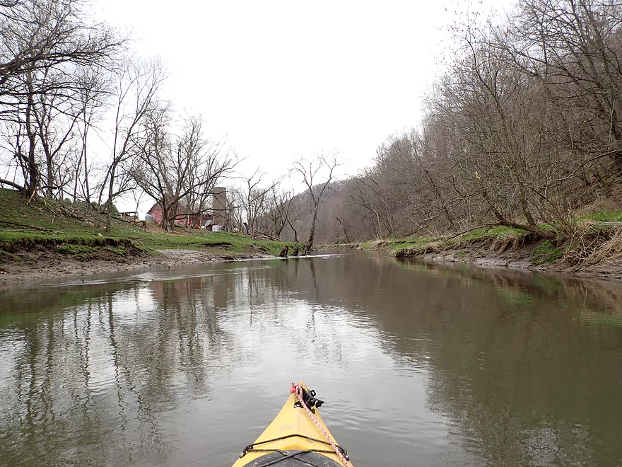
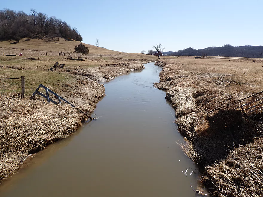
Lot of ugly mud banks
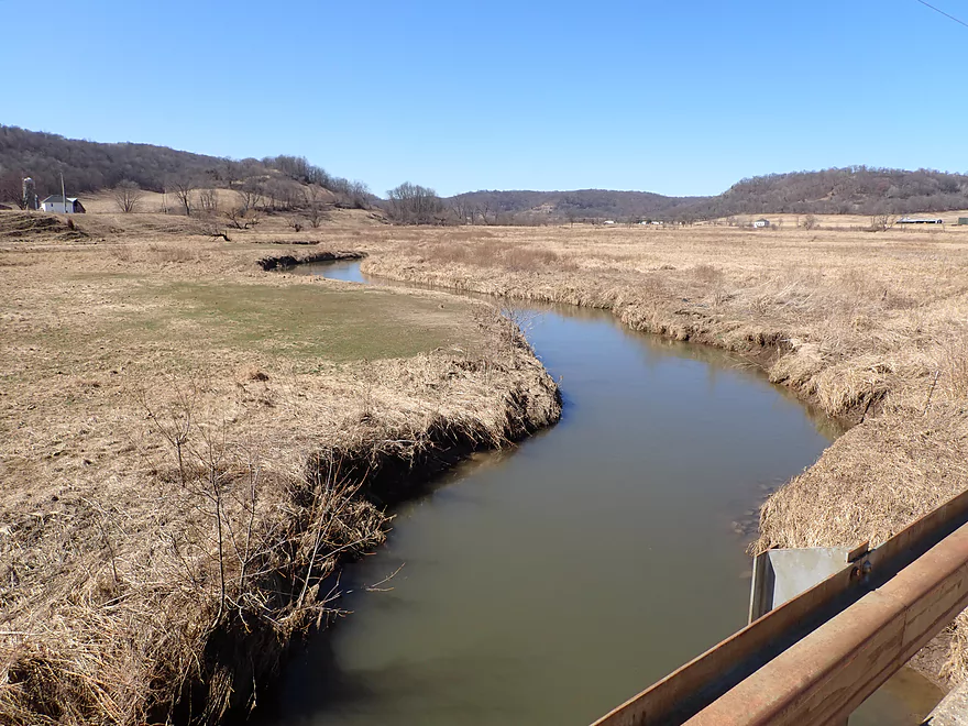
Hwy F
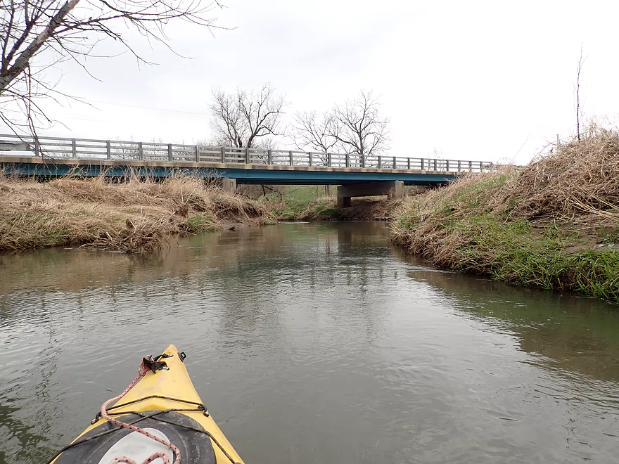
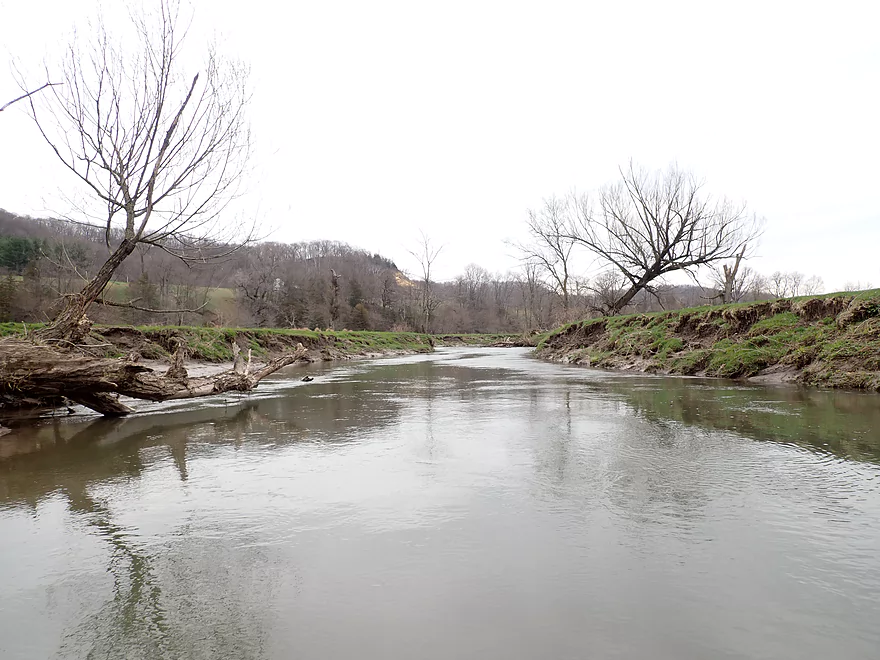
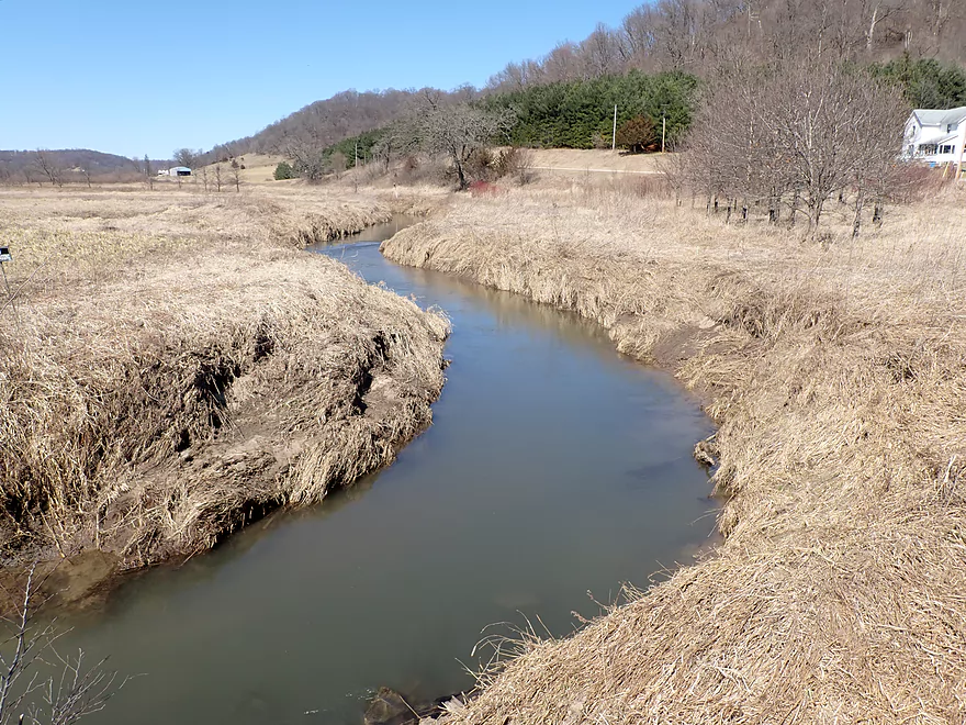
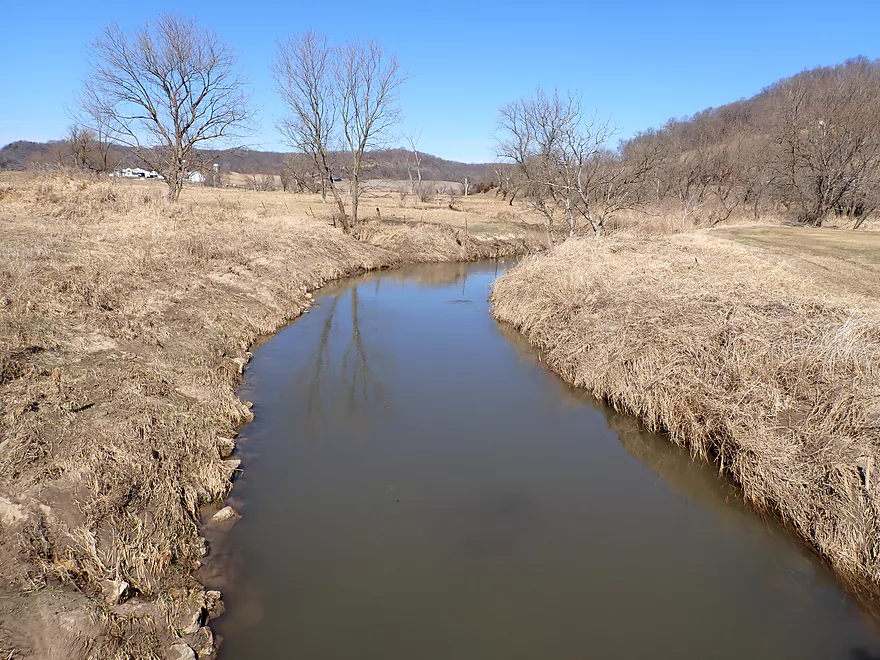
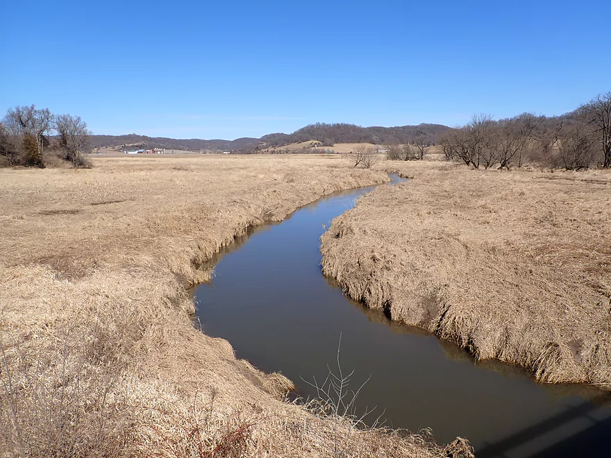
View from bridge
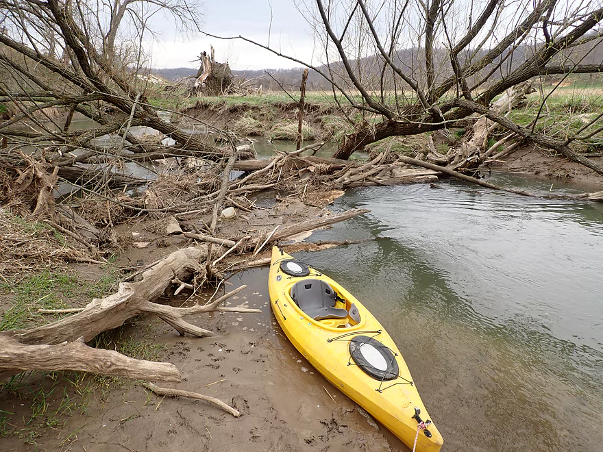
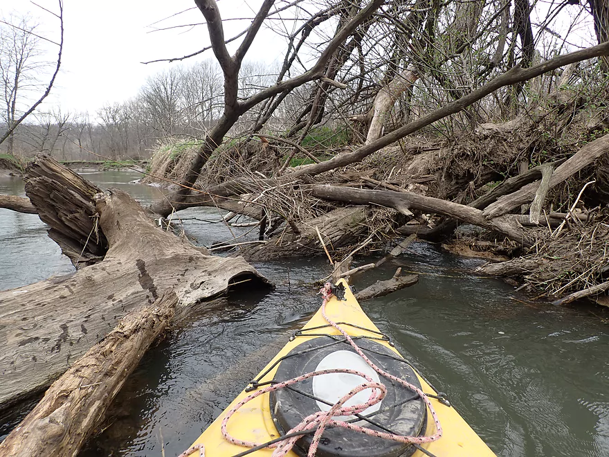
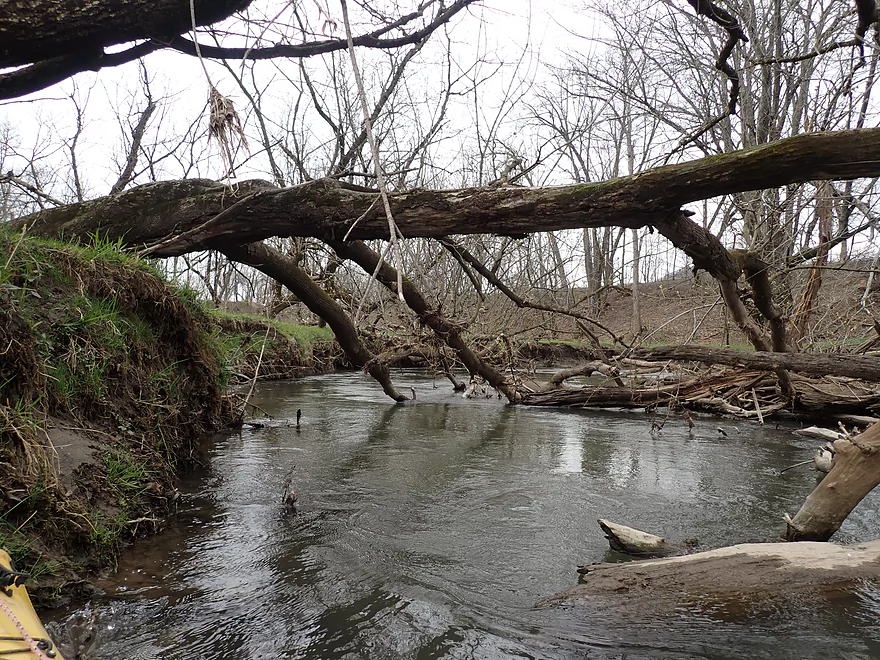
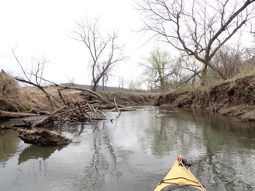
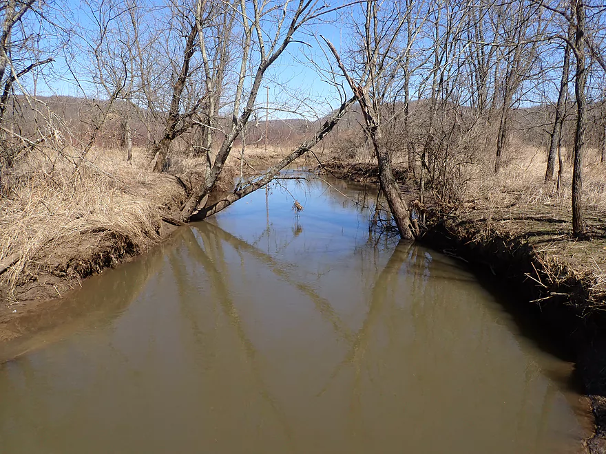
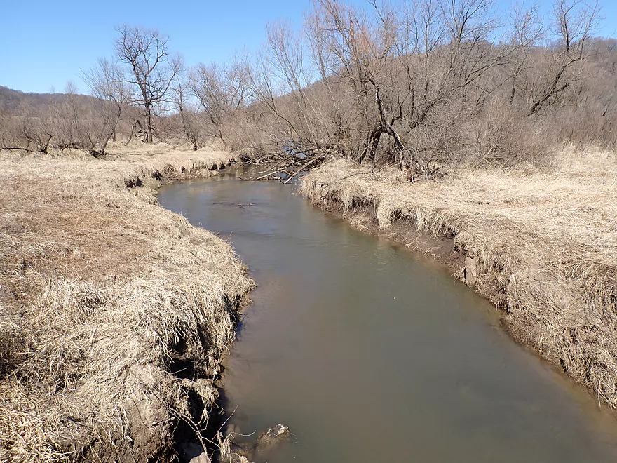
First major logjam
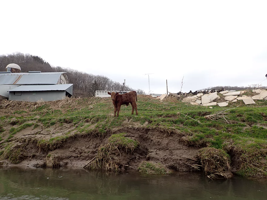
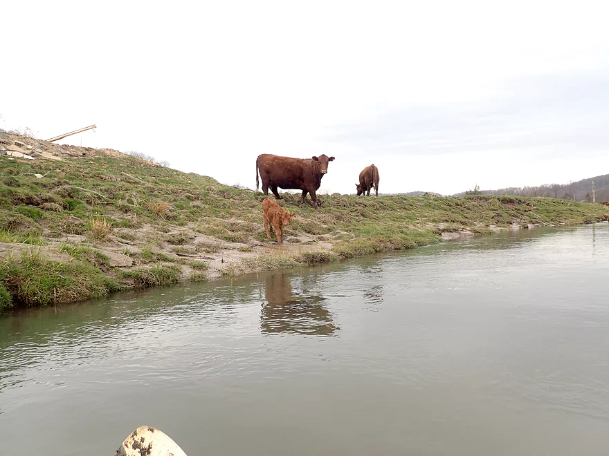
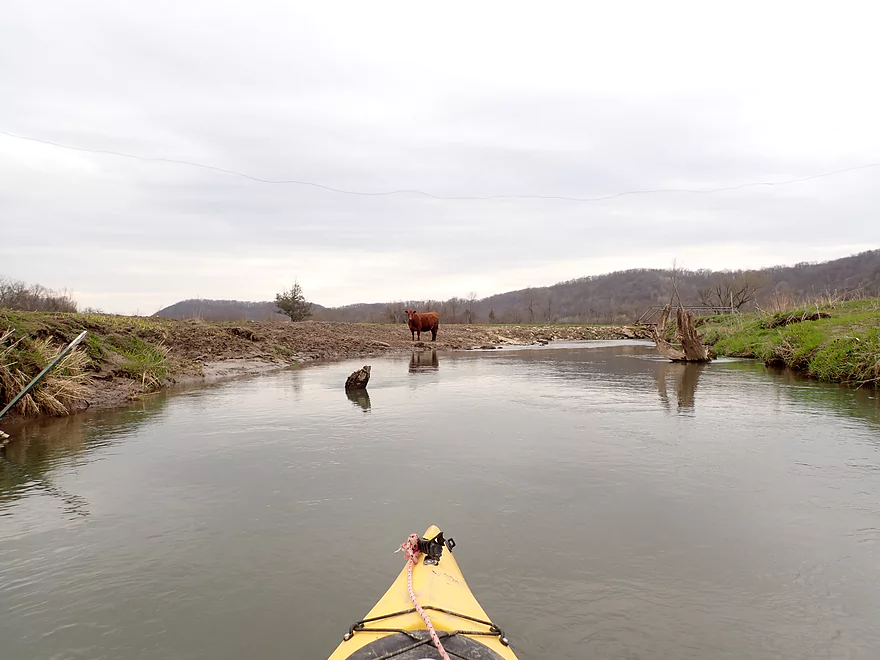
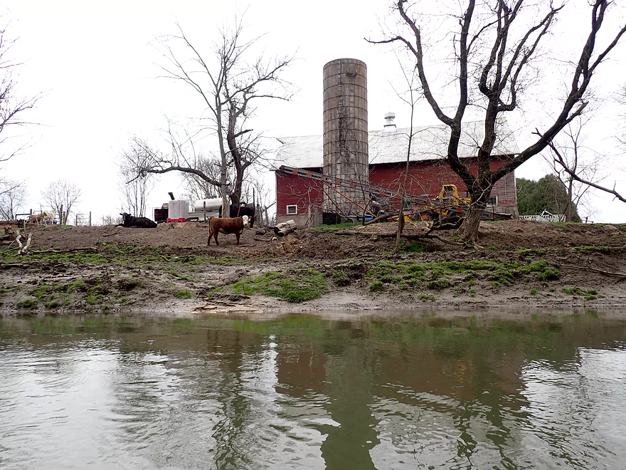
Cows watching me go by
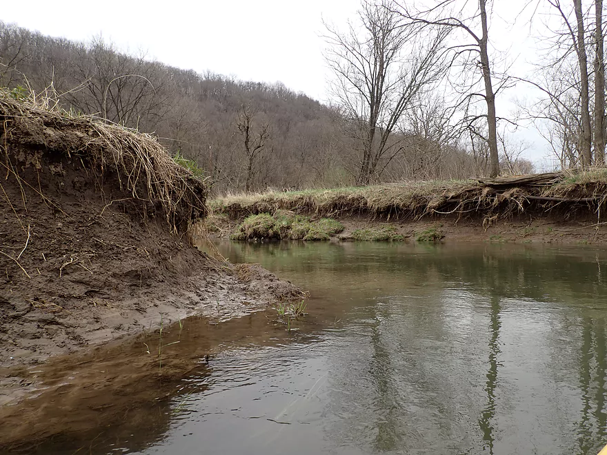
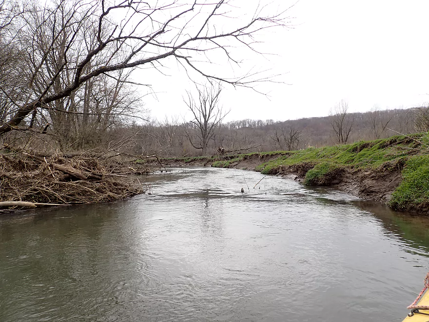
Very badly eroded banks
Surprise sandbar
Some surprise pines
Another major logjam
Third major logjam
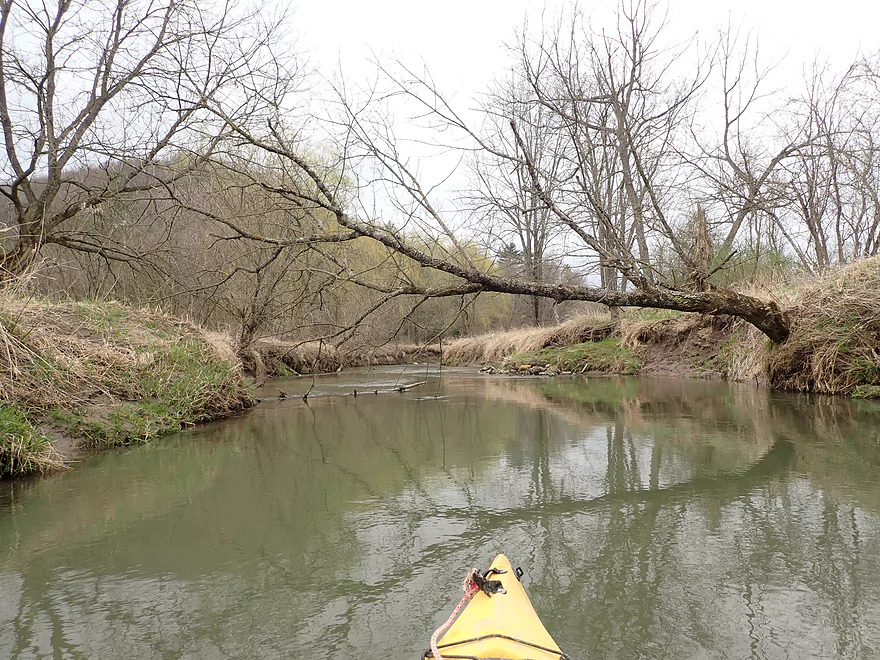
Lot of trees in the water
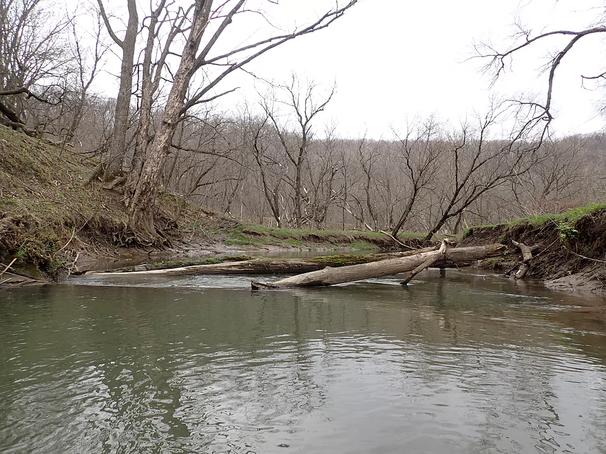
Fourth major logjam
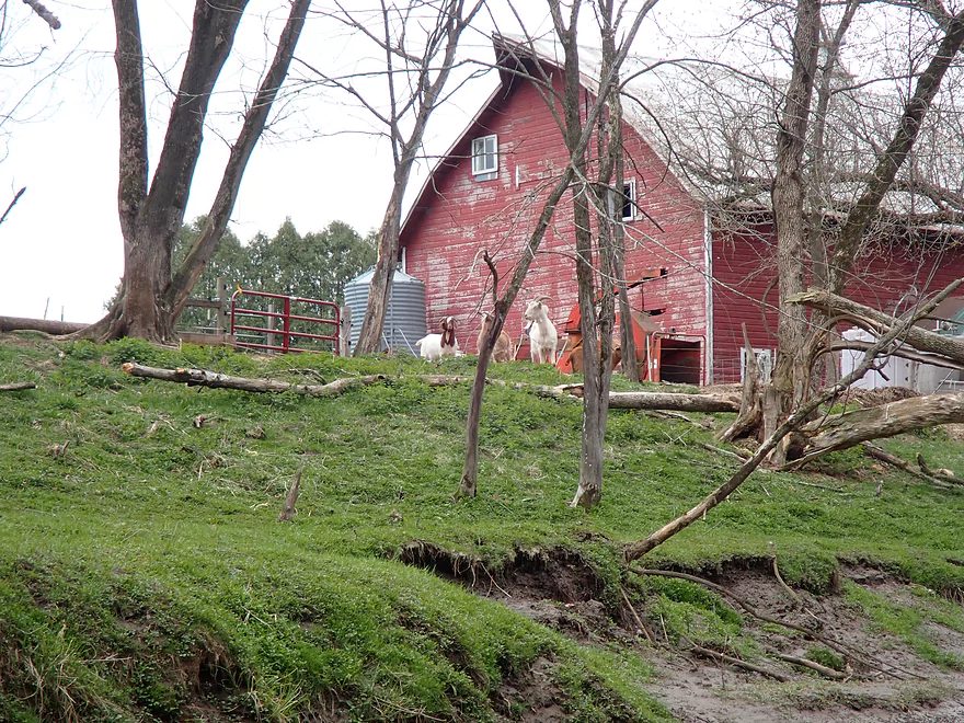
These goats are really keeping an eye on me
Another eroded farm
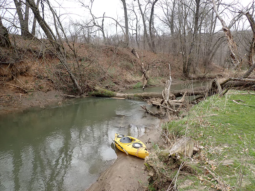
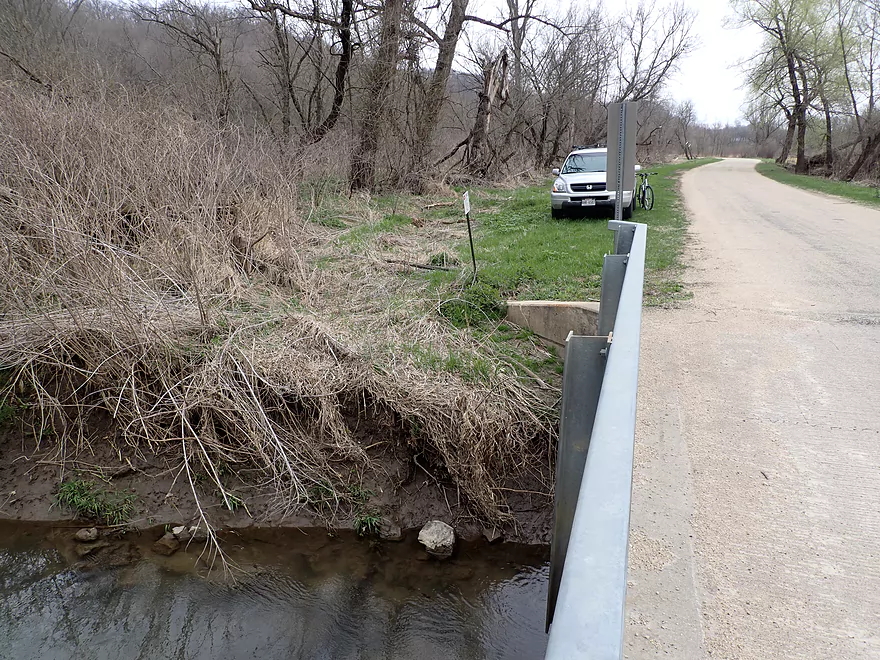
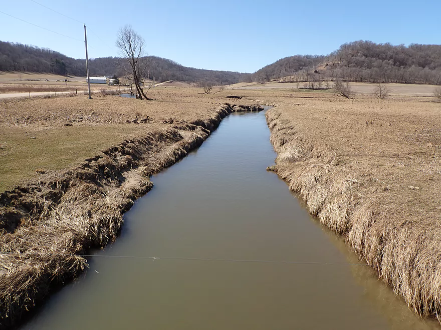
Take-out at Winding Way Dr
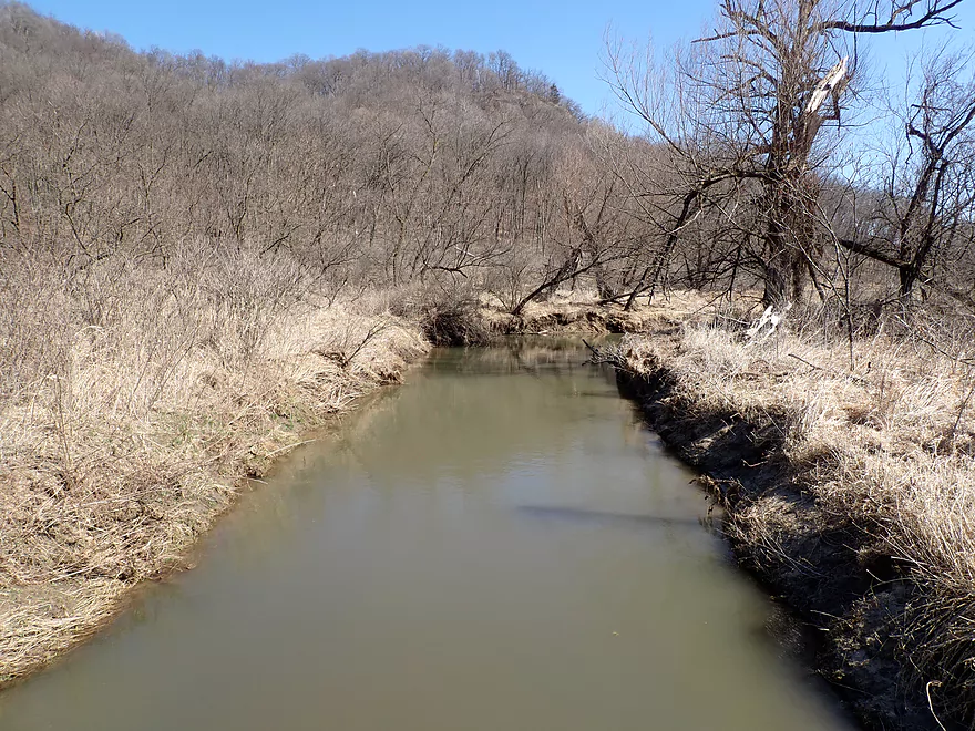
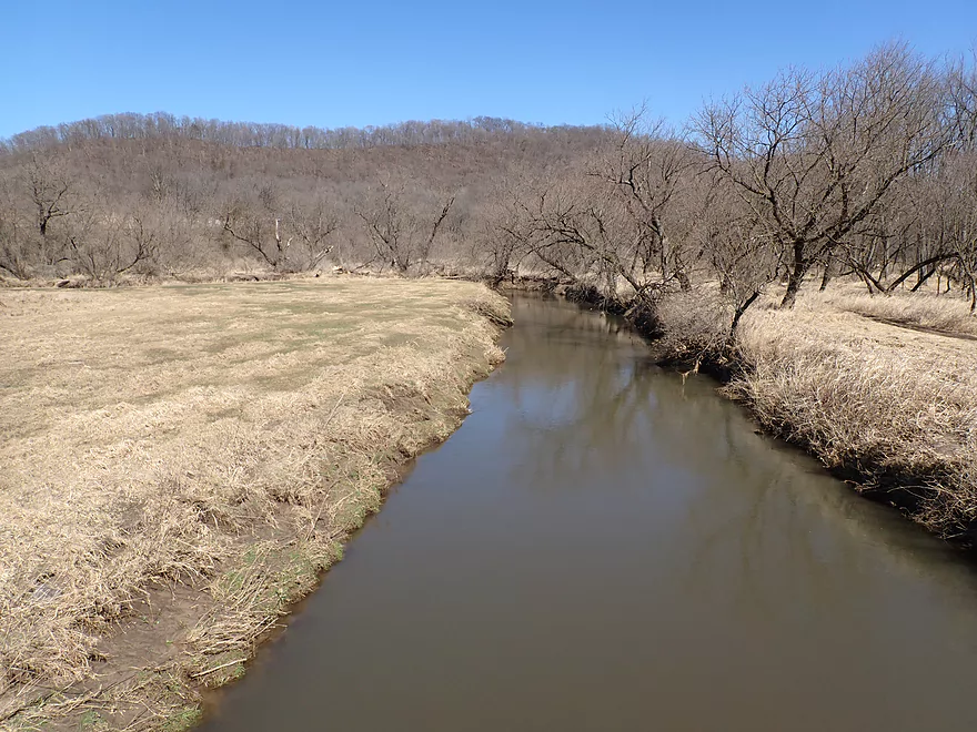
View from bridge
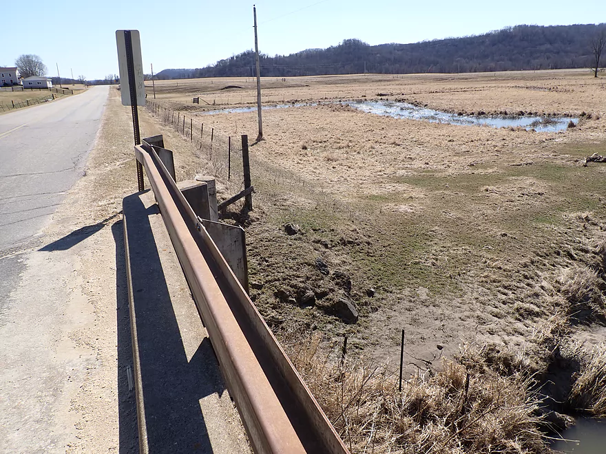
Ok take-out but a bit muddy
Scouting other parts of the creek…this is Hwy 171
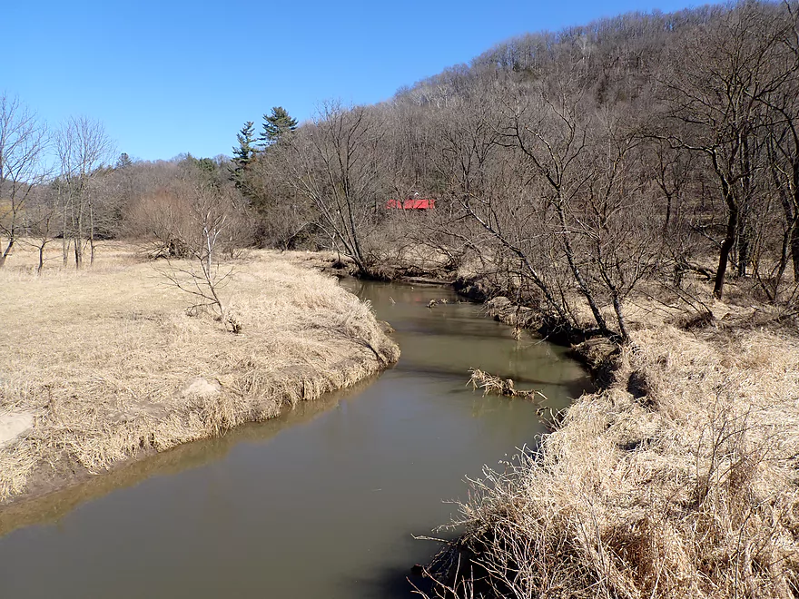
Scenic area by Tower Road
Creek by Tower Road
Hwy U by Twin Springs Road downstream view
Hwy U by Twin Springs Road upstream view
Hwy U second bridge
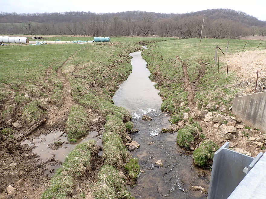
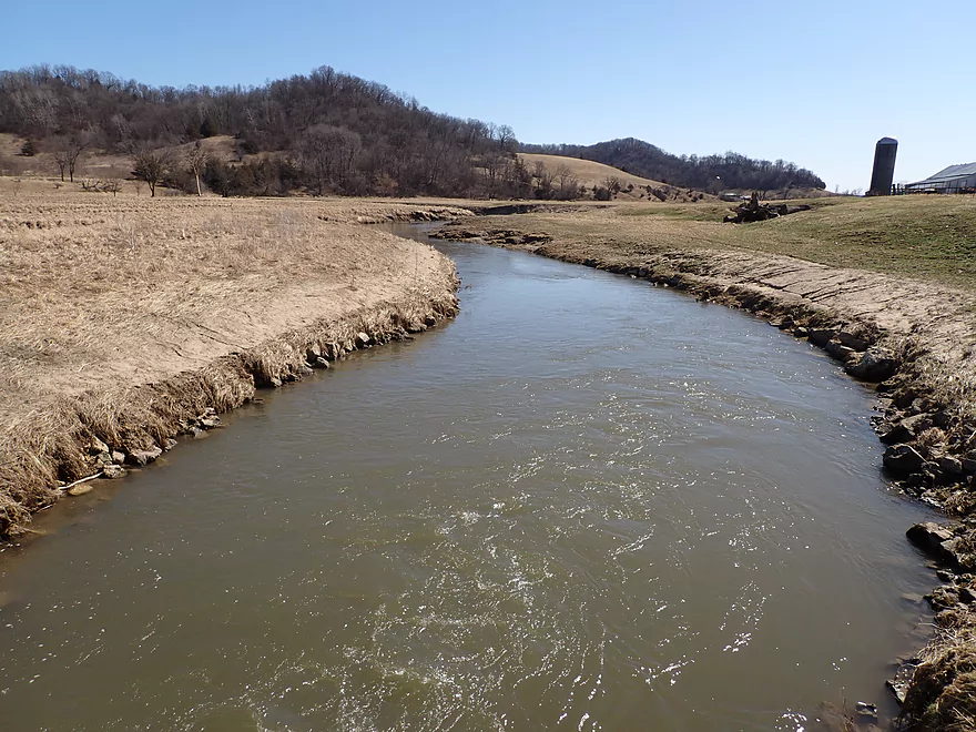
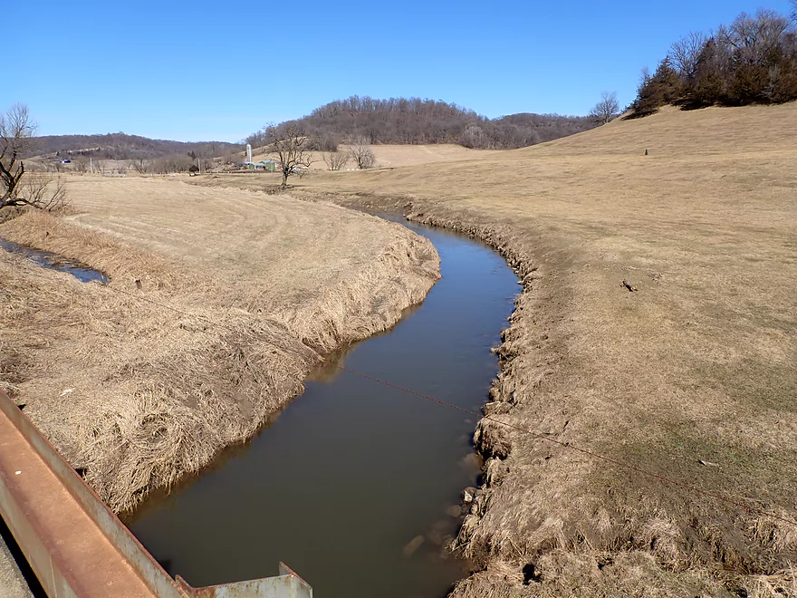
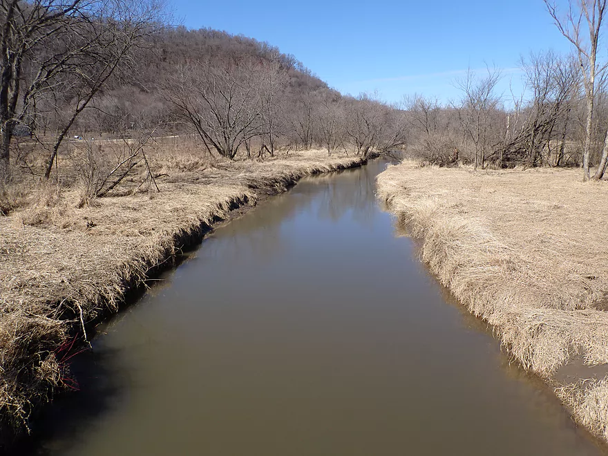
Hwy F
Maple Valley Rd downstream view
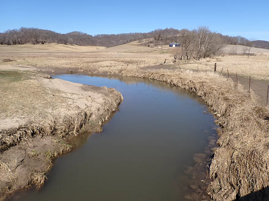
Maple Valley Rd upstream view
Echo Glen Road downstream view
Echo Glen Rd upstream view
Hwy F has an annoying fence
View from Hwy F
Hwy S
Hwy F north of Excelsior
Hwy 60
Knapp Creek


Knapp Creep is a tributary to the Wisconsin River located near the Kickapoo. While most won’t recognize the name, chances are if you’ve driven west along the Wisconsin River on Hwy 60, you’ve passed over it. All I knew of the creek was from a fishing video and some car scouting, so this was going to be another dice roll paddle.
There are multiple options to choose from for paddling Knapp Creek, but I (mistakenly) chose a lower leg, because I believed (incorrectly) that it would have rock outcrops. I put in at Excelsior Road which wasn’t a bad bridge access. But just upstream of the bridge was a logjam, which I didn’t have to portage, but it was an ominous sign.
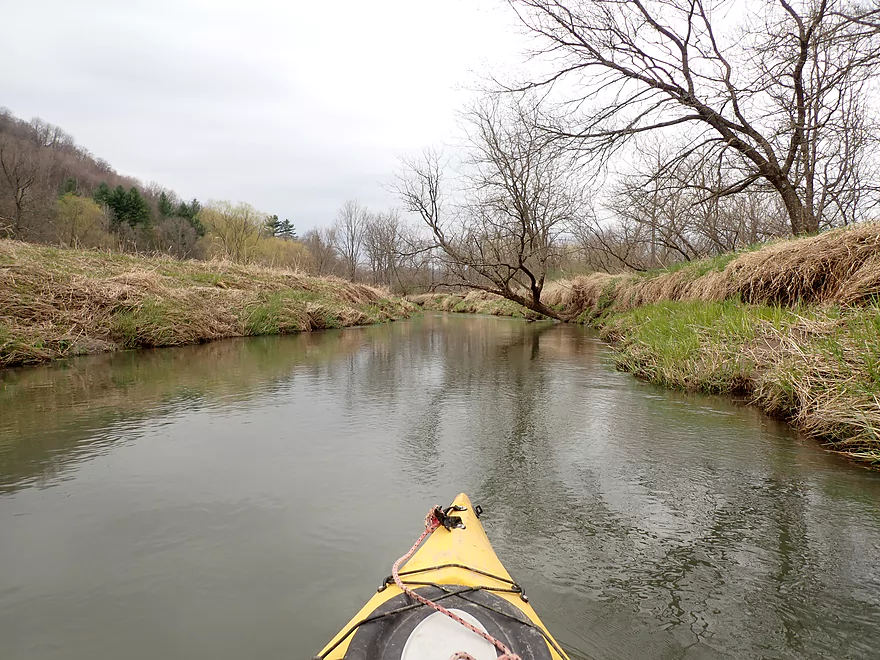
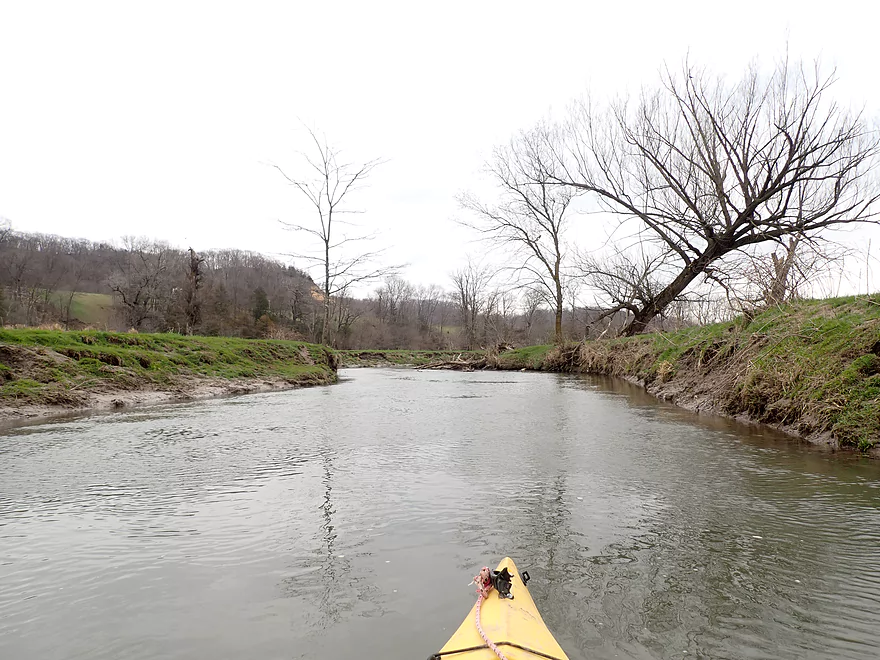
The half mile between Excelsior Road and Hwy F wasn’t that great. There were a lot of big, muddy banks. A thin layer of scraggly trees lined the banks with many ending up in the creek. Getting past most wasn’t that difficult, but they were annoying. Often the channel would get deeper (sometimes over 6′) and faster coincidentally by obstacles which was not fun.
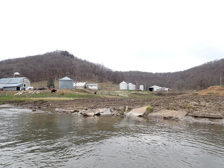
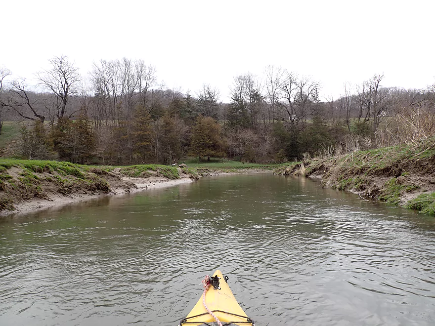
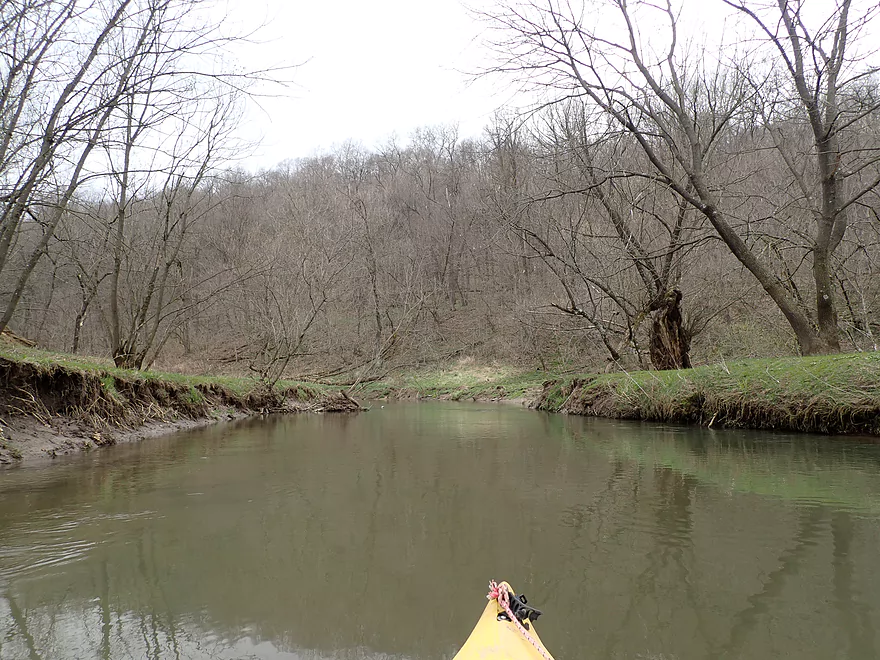
Past Hwy F, the creek started to open up with far fewer trees. This was a nicer stretch but the banks were still heavily eroded. I paddled past a farm which featured a large pasture with cows grazing along the banks. Part of the reason the creek has so much topsoil erosion is the watershed resides between steep hillsides which drain fast after a rain. But the other problem is farmers let their cows graze right up to the creek. Rivers and creeks need protective bank buffers from agriculture and development. When cows are allowed into a creek, they trample and eat key plants needed to stabilize the creek. Lacking structural integrity, the banks will “bleed” mud which will accrue as downstream mud banks.
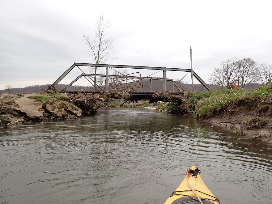
It was by this large farm that I encountered the first of four major logjams. Portaging wasn’t too bad, but not ideal because of all the mud.
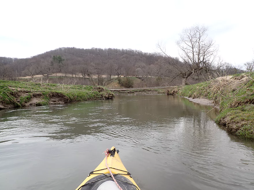
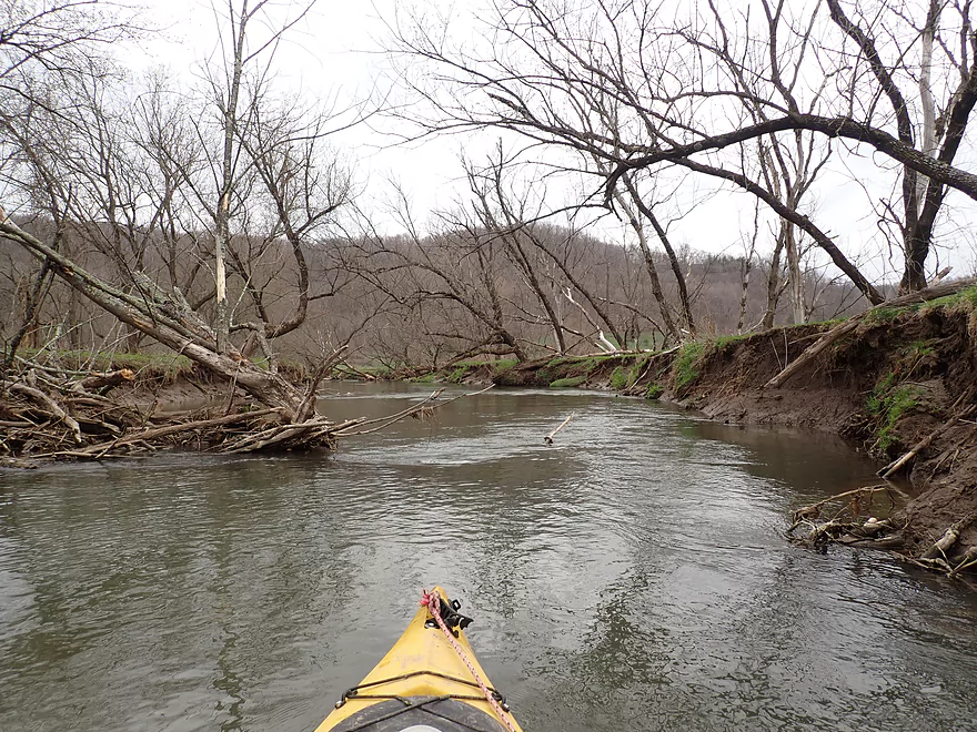
Closer to Winding Way Drive, deadfall became more common and annoying. At last I came to a long bluff, which based on my previous map research I believed it might have rock outcrops, but this proved not to be the case. Instead there were just more eroded banks and another farm with animals (including this time goats) grazing up to and in the creek. I ended the trip at Winding Way Drive where a family was fishing by the bridge. I talked to them and it turned out they had tried canoeing a much longer stretch than I had done, but had a very trying experience because of all the logjams. I couldn’t imagine doing this leg in a canoe…typically canoes will have to portage 2-3 times more often than a kayak because of their larger size.
In summary this was a disappointing trip. Live and learn. But I haven’t given up on Knapp Creek. What I did was its lower portion close to the mouth on the Wisconsin River. Much further upstream, the creek is actually significantly nicer and somewhat cleaner (that’s where the trout fishermen hang out). If I do another trip, it might be by Tower Road, which looked much nicer than what I did.
Sights included cows, goats, one owl, some geese (and their goslings), and a few muskrats. The highlight was a fox who watched me portage the first logjam.
Eagle Cave: A cave and camping experience–supposedly the world’s largest onyx cave.
Excelsior Rd: There are not a lot of good bridge access points on Knapp Creek, but this is one of the better ones. Only downside is it is a bit muddy by the bridge.
Alternative Put-ins:
- Hwy F North of Excelsior: 0.5 miles upstream from my put-in. Not a good bridge access with a fence on the north side, but you can launch from the south side. This additional leg has maybe two logjams and isn’t anything special.
- Hwy F South of Excelsior: 0.8 miles downstream from my put-in. Possible bridge access, but not very good because of a large embankment. Excelsior Rd is a better put-in.
Winding Way Drive: This was actually a good bridge access minus a bit of mud.
Alternative Take-outs:
- Hwy 60: 3.1 miles downstream from my take-out. This leg likely has too many logjams (maybe 7).
Bike Shuttle – Winding Way Drive to Excelsior Road: 2.4 miles with 49′ of ascent. This was an easy bike shuttle. Only downside was an obnoxious pair of dogs that chased me on my bike west of Haskins Cemetery. I think the key when being chased by a dog is NOT to give them eye contact. They see that as a challenge which will make them chase you more aggressively.
Logjams: Upstream of F, there no major logjams, but there were were a few obstacles to sneak around. Below Hwy F, there were four major logjams that required portages. The portages are a bit muddy, but doable. On top of that, there were a handful of squeakers/hoppers/zigzaggers to deal with.
Current: Not super fast, but it seemed to pick up speed coincidentally around the deadfall which was a bit annoying.
Rapids: None.
Fences: None.
Trip Depth: 61 CFS or 8.6′ per the Kickapoo River @ Ontario gauge (Note the following are just rough guestimates)
- 8.51′ – 8.60′: On the low end, but plenty deep for paddling.
- 8.61′-8.70′: Average depth.
- 8.71′-8.8′: Above average depth. Creek might get a bit pushy around some of the deadfall.
- 8.81-8.95′: High depth. Likely unpleasant for paddling.
- 8.96+’: Likely the current will be too pushy to comfortably get past the deadfall. Water quality will also likely be awful with a lot of mud.
Note, several of the bridge access points on the creek are bad. For more information on these see the overview map.
- Upstream of Hwy 171: The creek fractures into several smaller branches. These may be navigable in high water.
- Hwy 171 to Tower Road: 2.0 miles. Maybe the nicest stretch on the creek. I think this is where the trout fishermen fish. Could be three logjams. Access to this leg is via a small feeder creek that could be shallow.
- Tower Road to Hwy U(first bridge): 2.4 miles. Nice prospect, but maybe 3 logjams and one fence to deal with.
- Hwy U(first bridge) to Hwy U(second bridge): 0.4 miles. Maybe 3 jams.
- Hwy U(second bridge) to Hwy F: 1.4 miles. Intriguing prospect. Maybe three logjams and one rock outcrop.
- Hwy F to Maple Valley Road: 0.9 miles. Pretty open…maybe one logjam.
- Maple Valley Road to Echo Glen Road: 0.8 miles. Open paddle…maybe one jam.
- Echo Glen Road to Hwy F: 0.3 miles. Open and straight section.
- Hwy F to Hwy S: 0.6 miles. Open cow pasture…maybe one fence to deal with.
- Hwy S to Hwy F: 1.4 miles. Maybe 2 jams but also maybe 2 outcrops.
- Hwy F to Excelsior Rd: 0.5 miles. Maybe 2 logjams.
- Excelsior Rd to Winding Way Drive: 3.5 miles
- Excelsior Rd to Hwy F: 0.8 miles. Windy stretch on the outskirts of Excelsior. Lot of deadfall, but no major logjams to portage.
- Hwy F to Winding Way Drive: 2.7 miles. Kind of muddy and meh with 4 major logjams.
- Winding Way Dr to Hwy 60: 3.1 miles. Maybe 7 logjams.
- Hwy 60 to Garner Lake Access: 5.3 miles. Maybe 2 logjams. Looks like a nice slough, but you could get lost in high water if you’re not careful.
- Garner Lake Access to Mouth on Wisconsin River: 1.2 miles. Maybe one logjam. Might be a nice slough paddle.
- Mouth to Port Andrews Landing: 1.3 miles. This would be a mile+ upstream paddle on the Wisconsin River to reach a take-out. There are other take-out options on the Wisconsin River.
Trip Map
Overview Map
Video
Photos Size: