
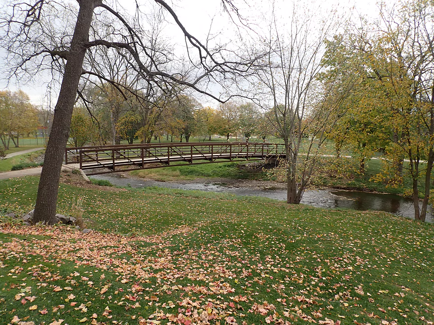
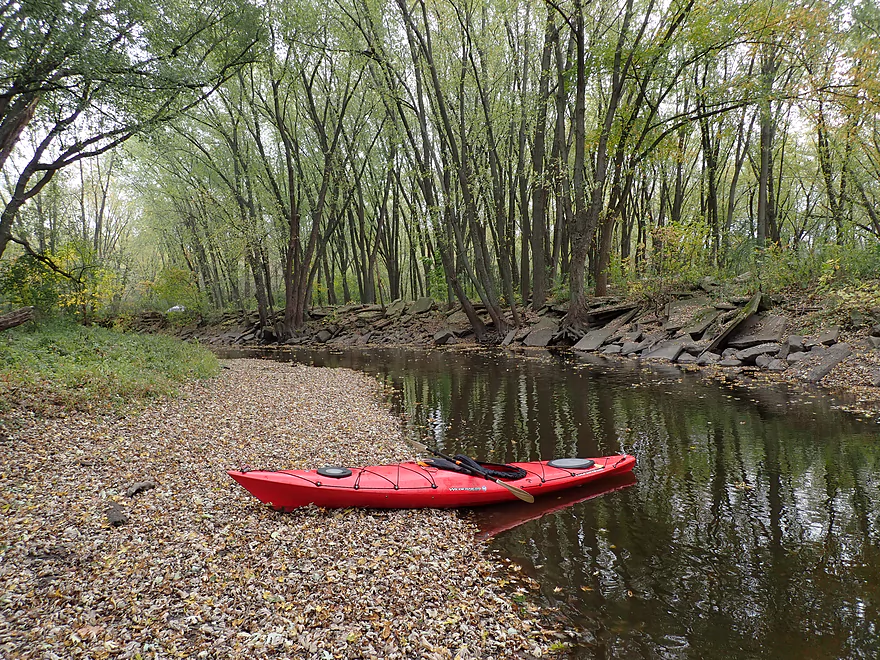
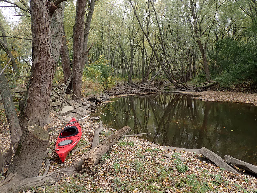
Starting the trip in Firemen’s Park
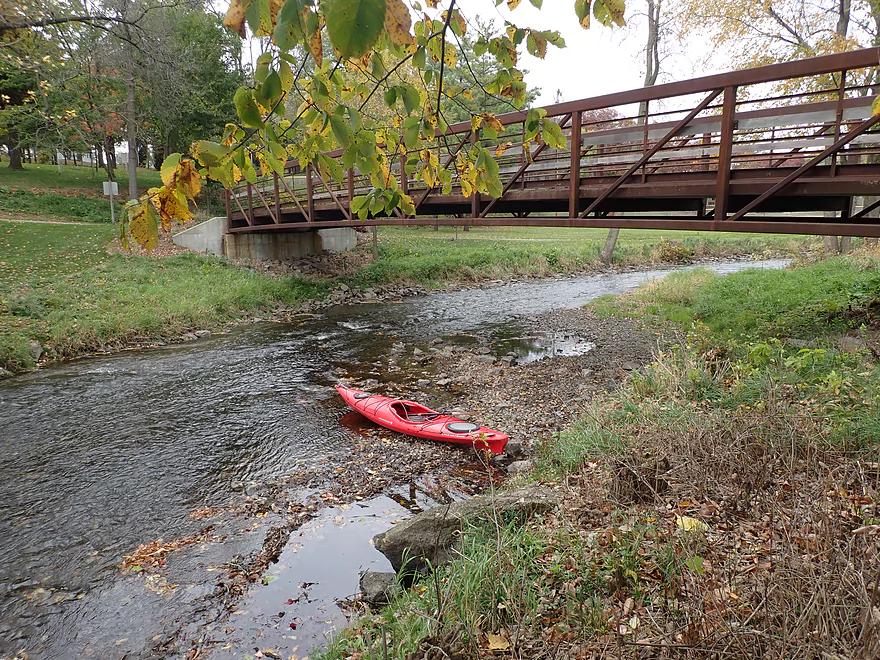
Nice access below the walk bridge
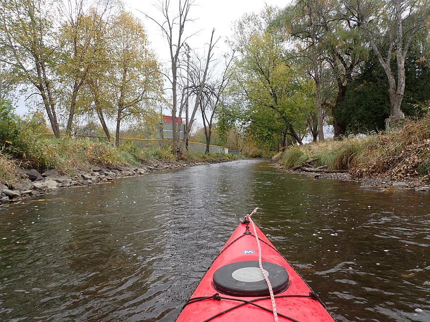
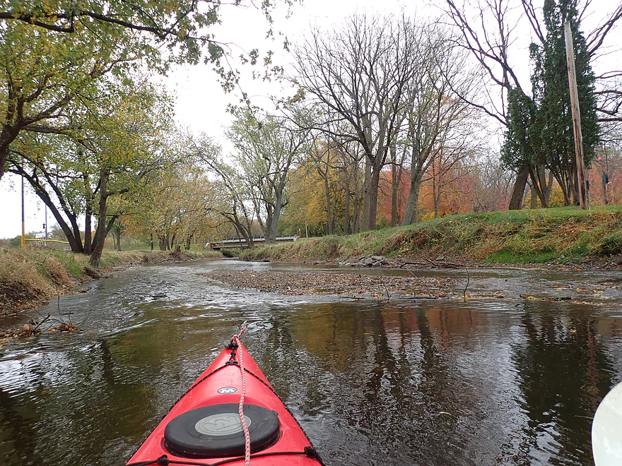
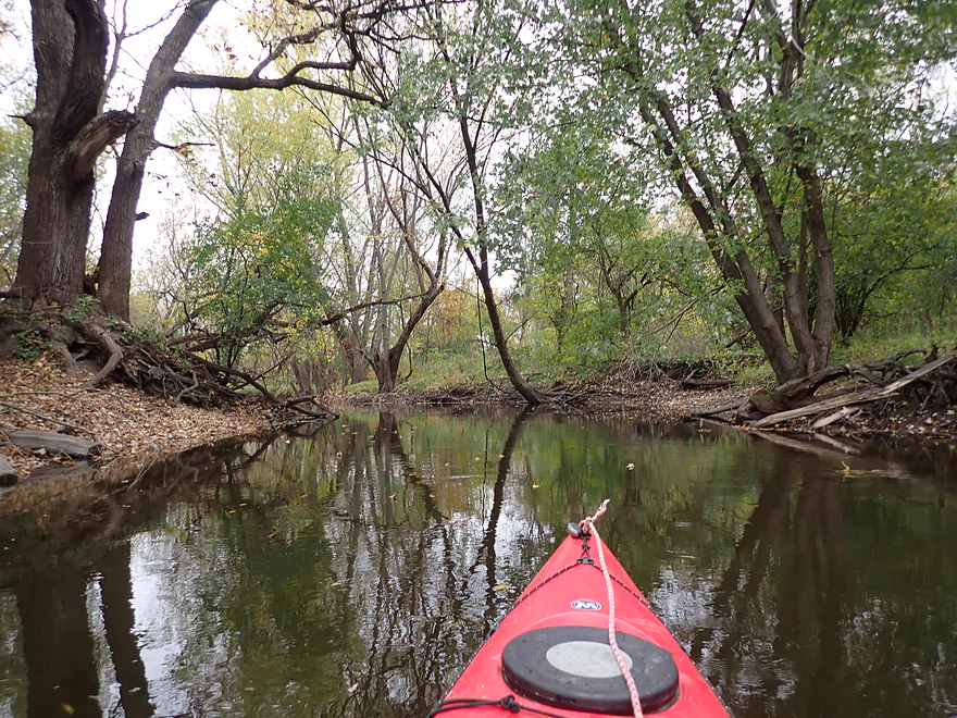
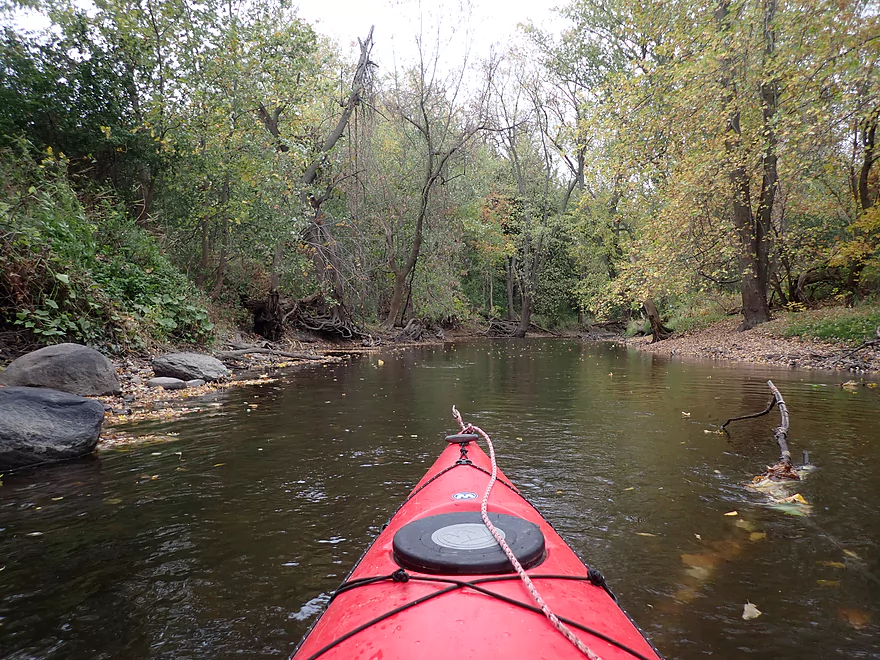
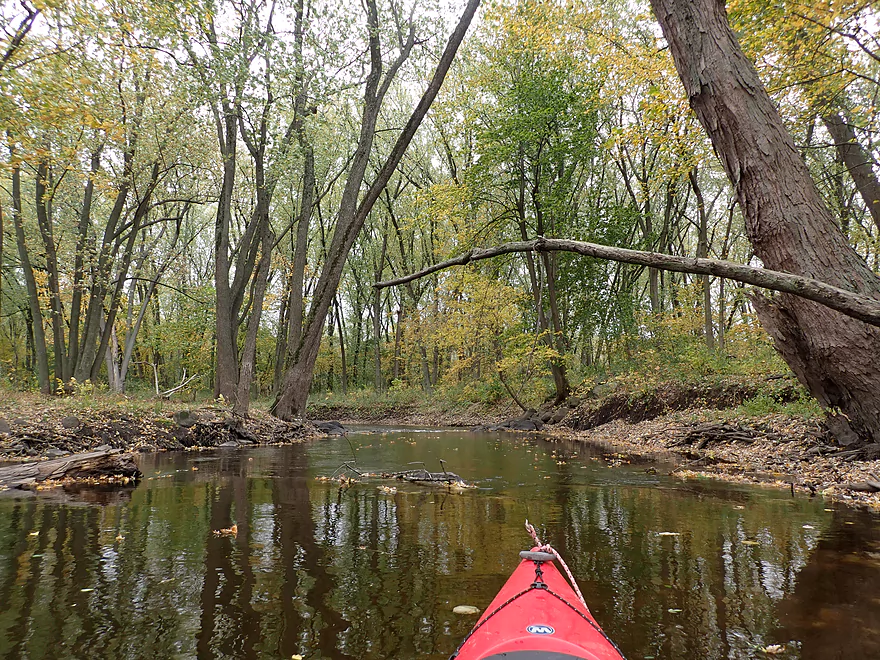
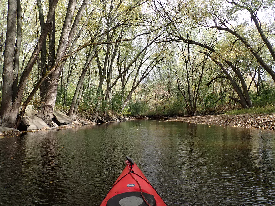
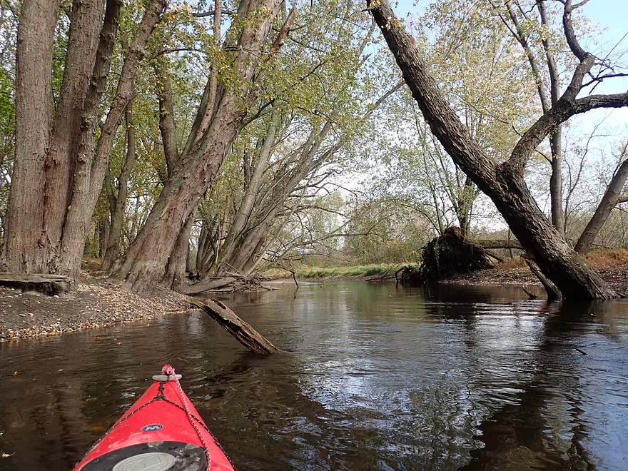
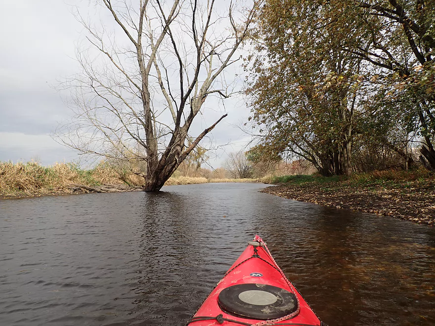
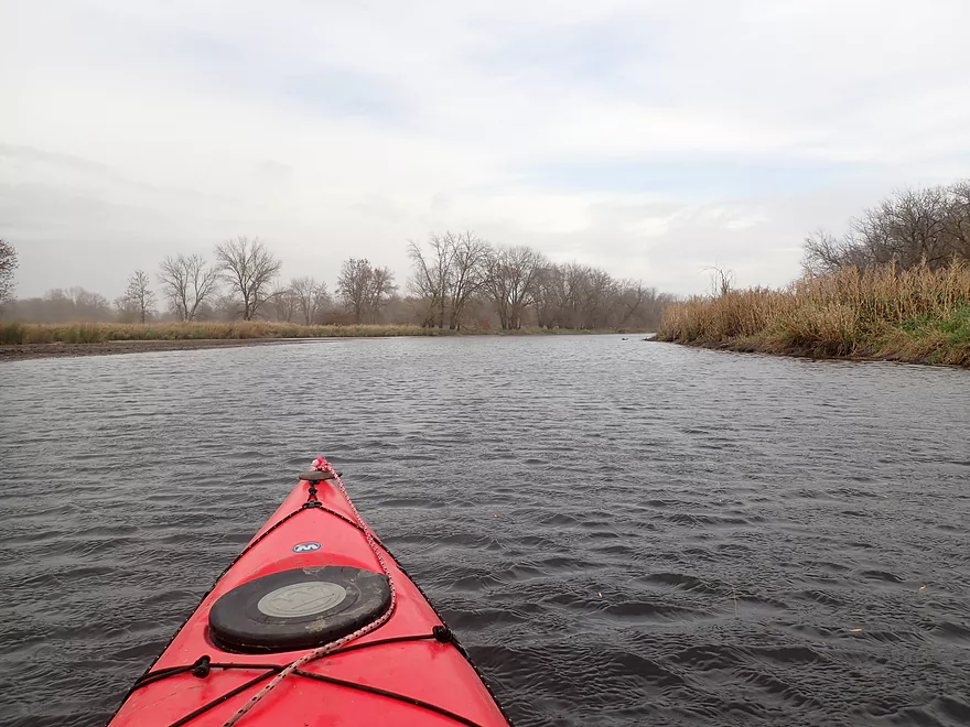
Scenic stretch through the park
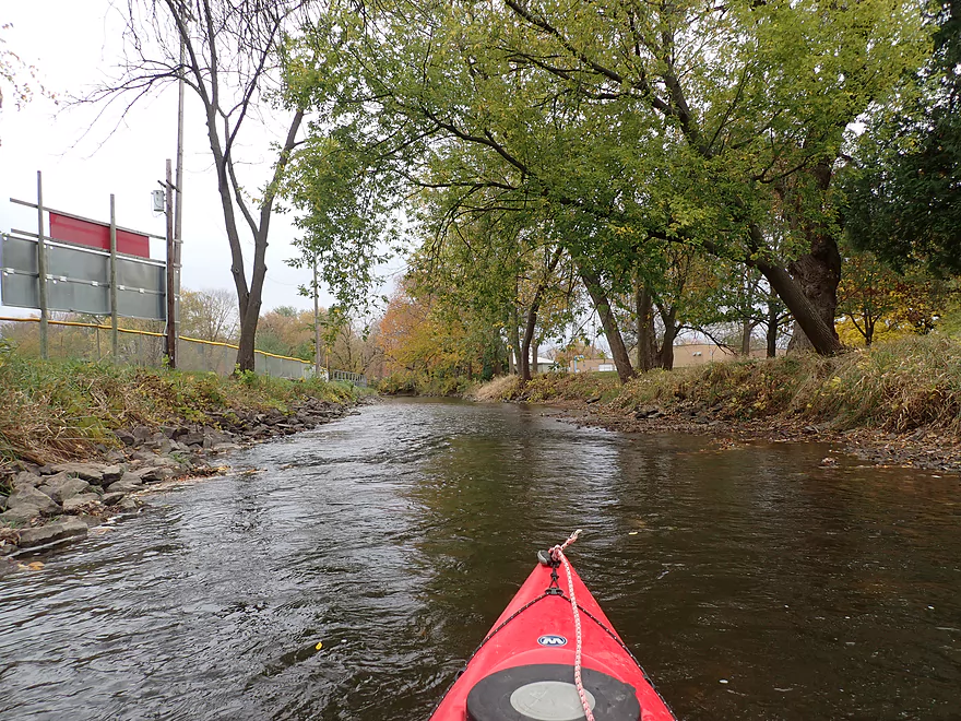
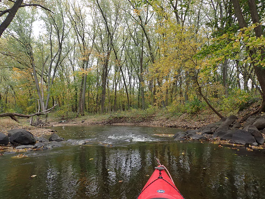
Some light riffles
A small pile of rocks on the right marks an official canoe/kayak access by the town sanitation plant
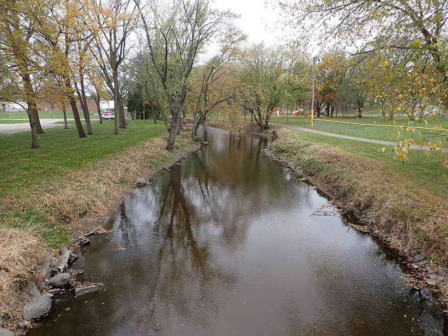
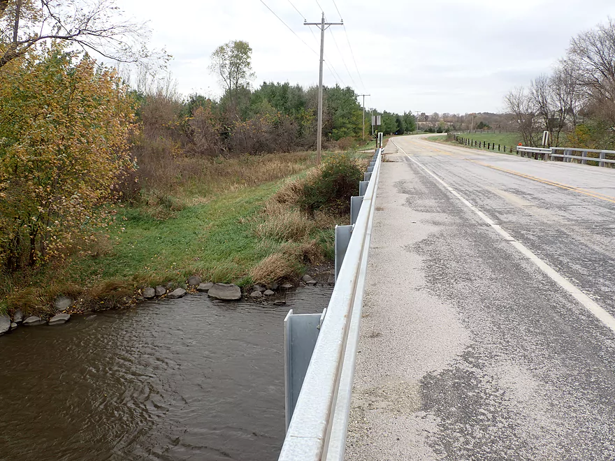
View from the Spring Street bridge
Leaving Waterloo behind
Another pedestrian bridge (and a possible access)
The river now is very low
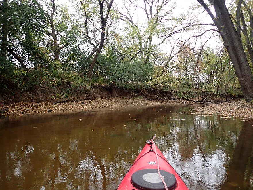
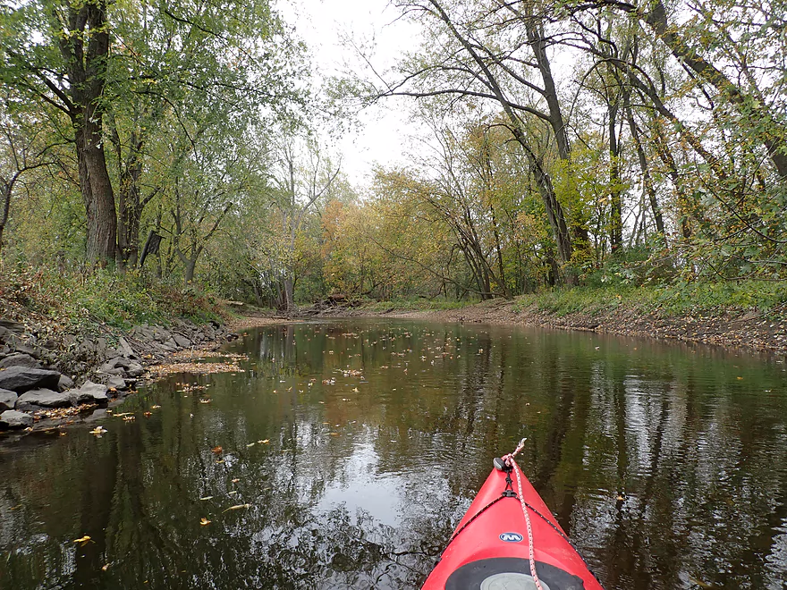
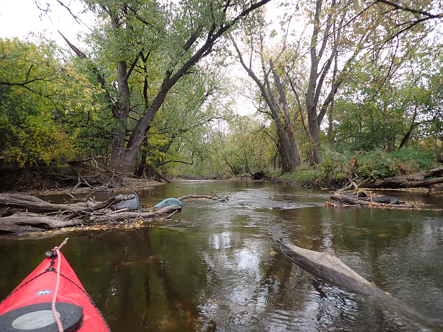
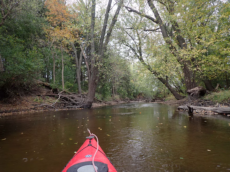
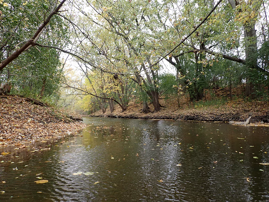
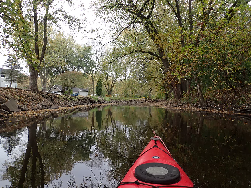
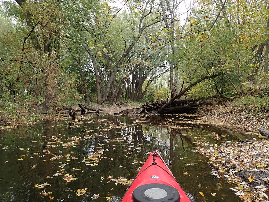
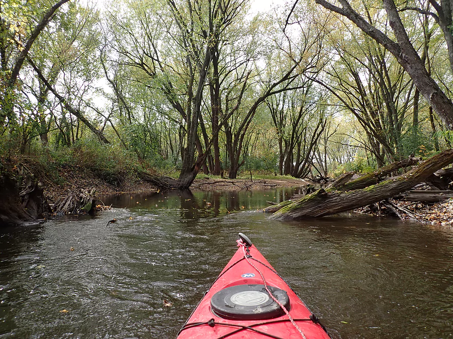
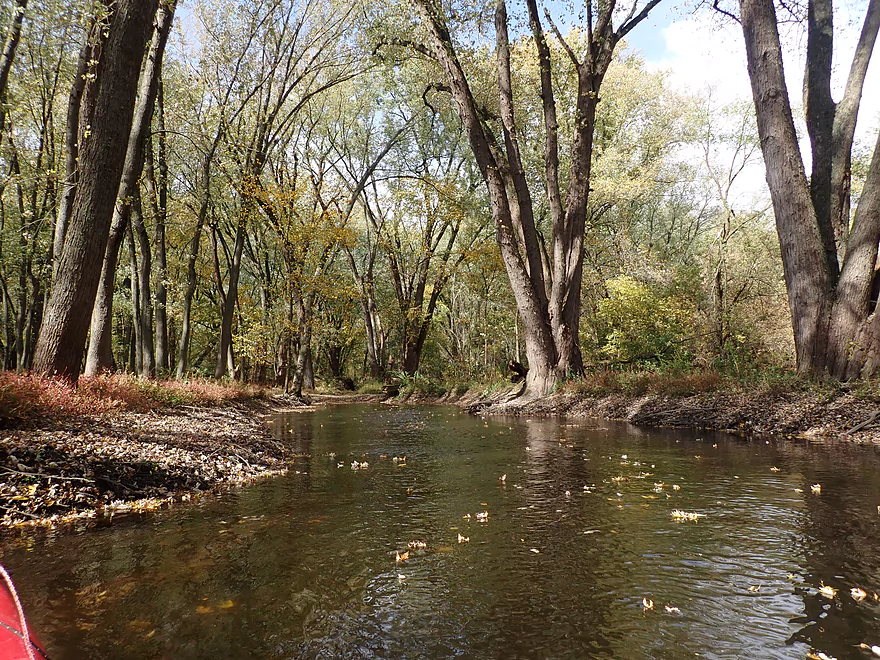
Attractive banks
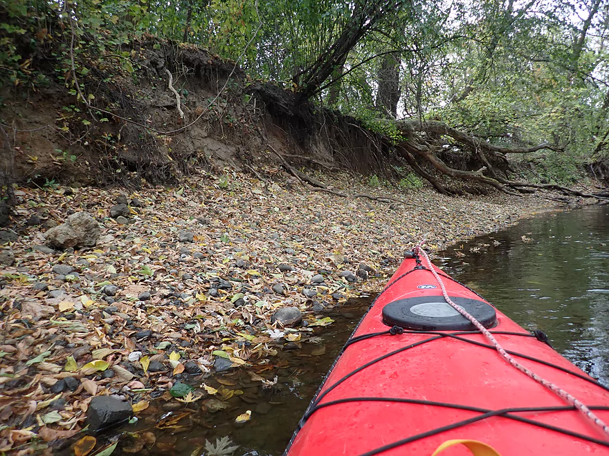
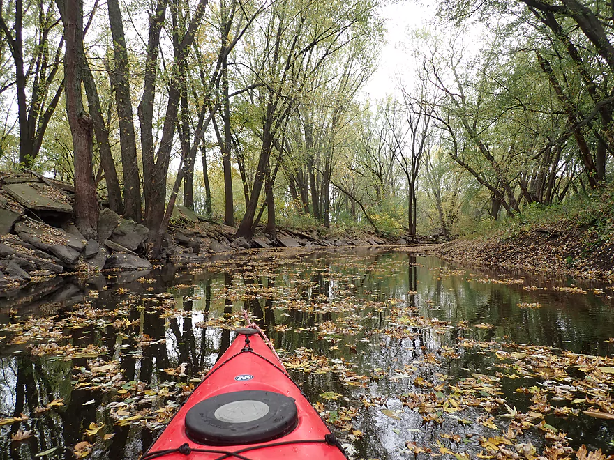
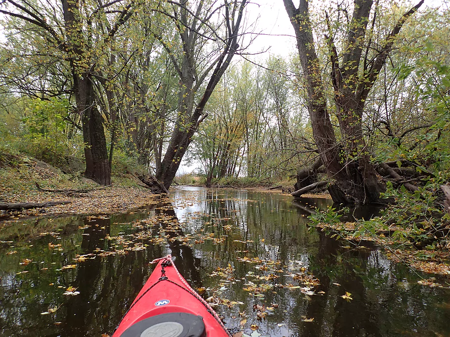
Lot of fall leaves
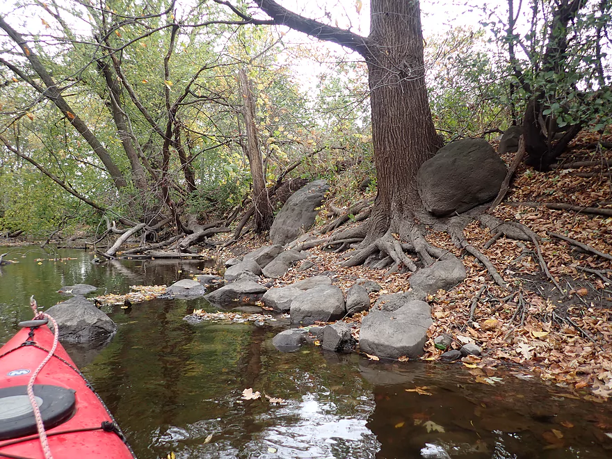
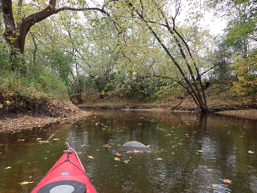
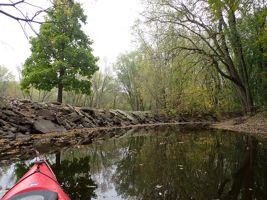
A surprise rock outcrop
Some trash…but the river has been mostly cleaned up
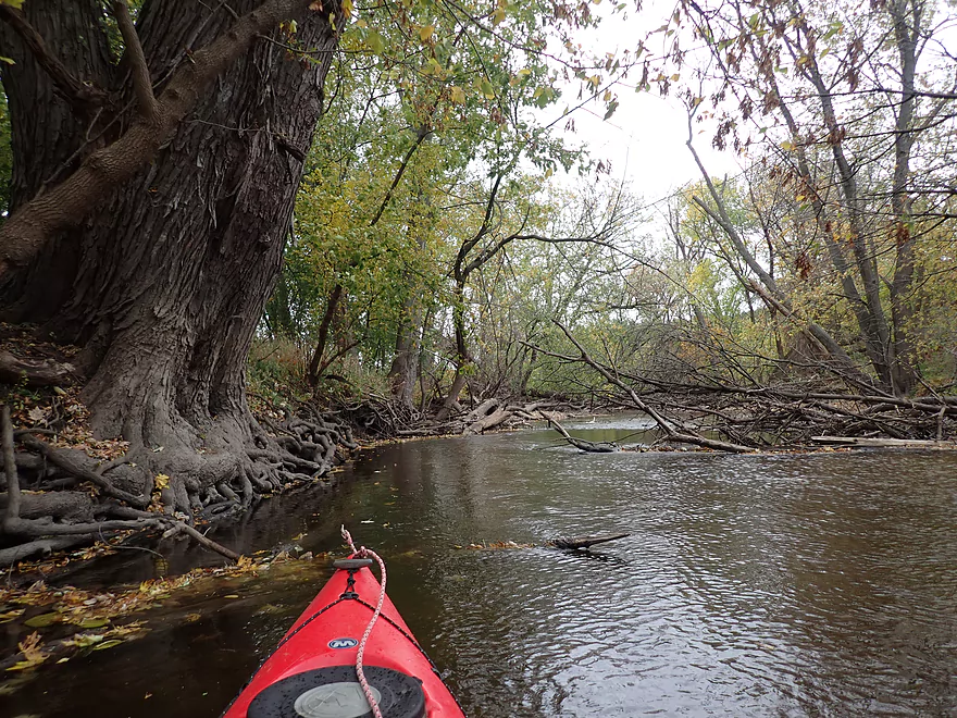
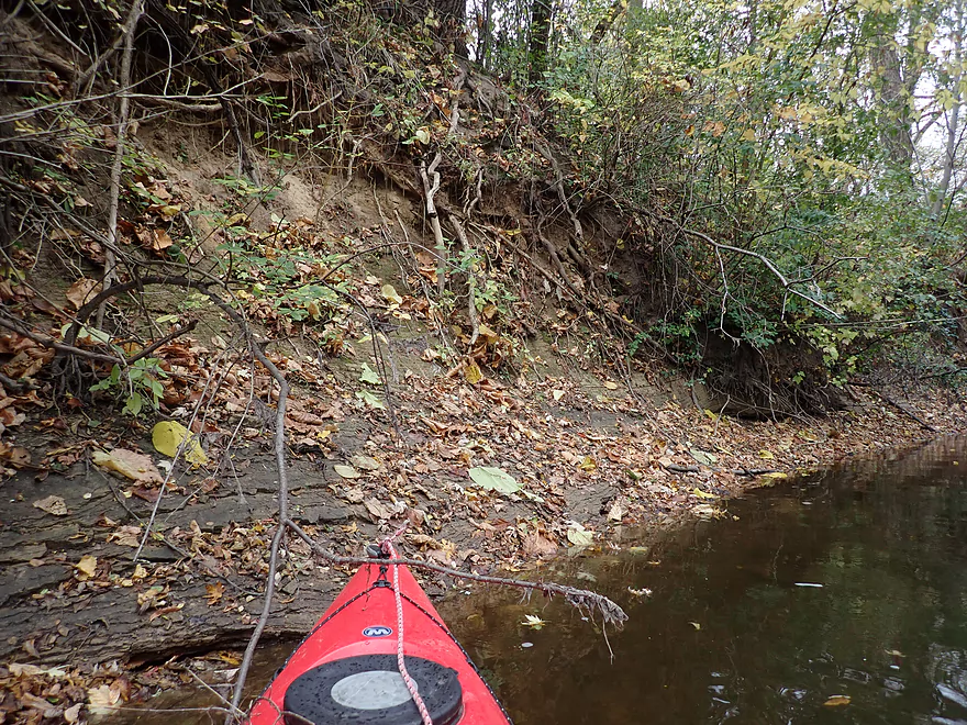
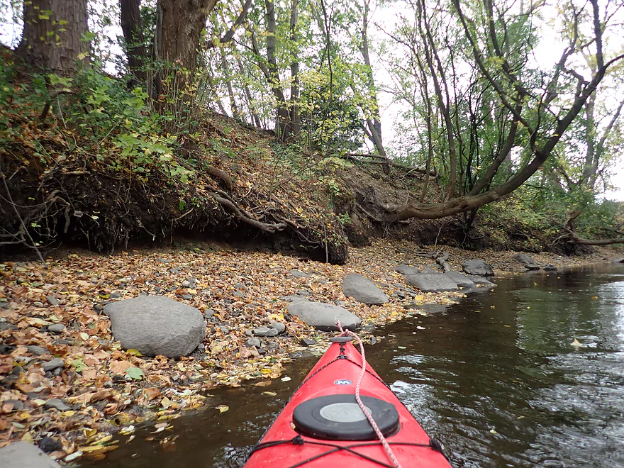
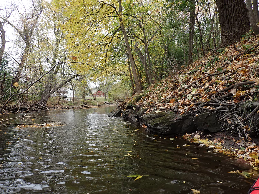
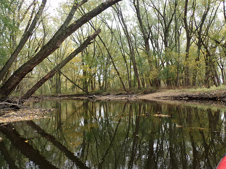
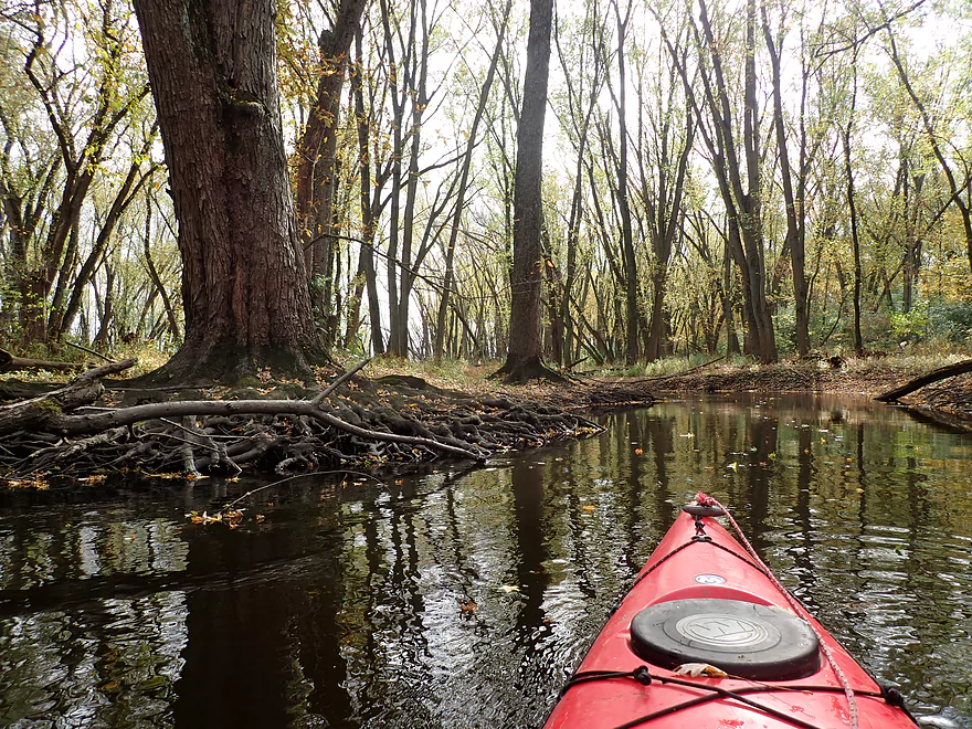
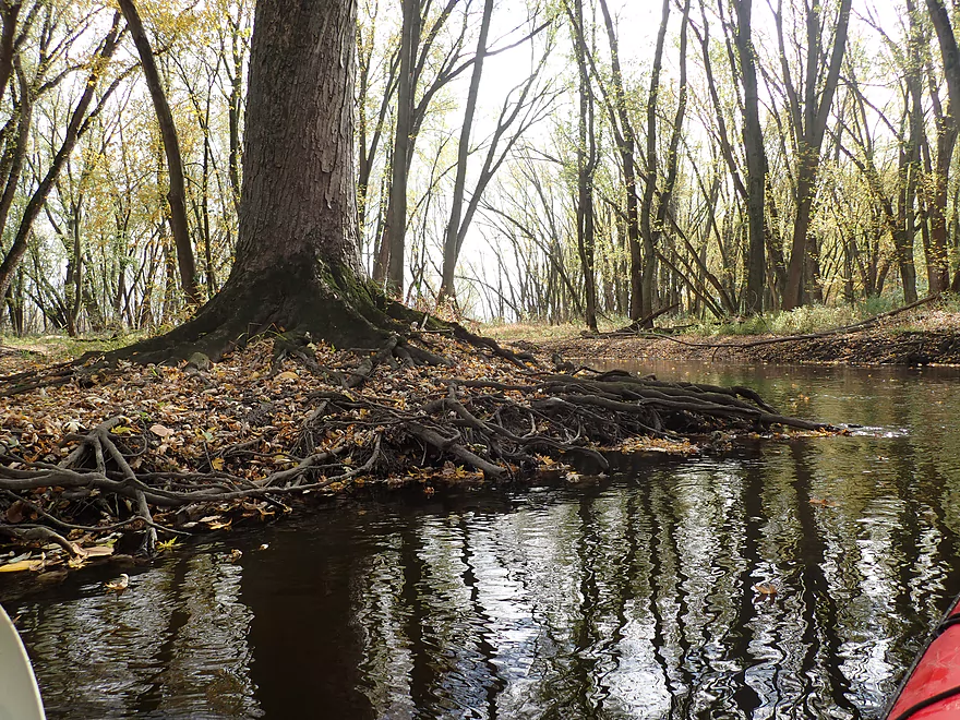
Cool how the tree roots act as retaining walls for the river
Glacial deposits
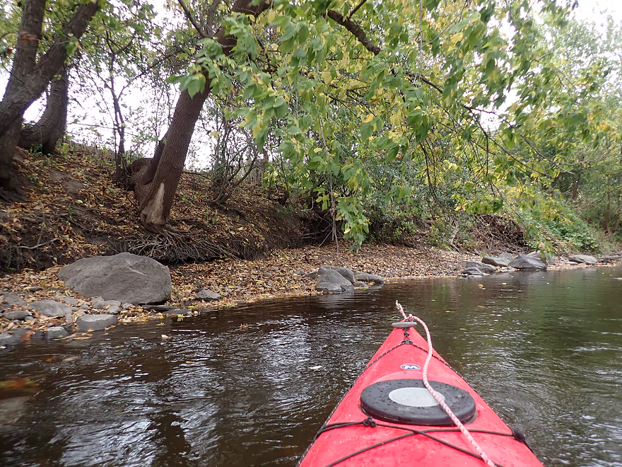
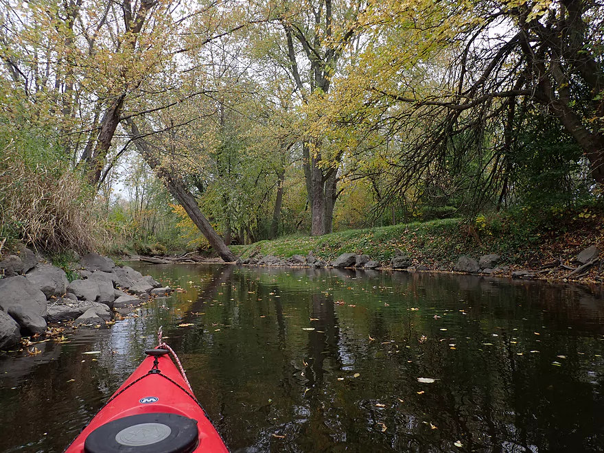
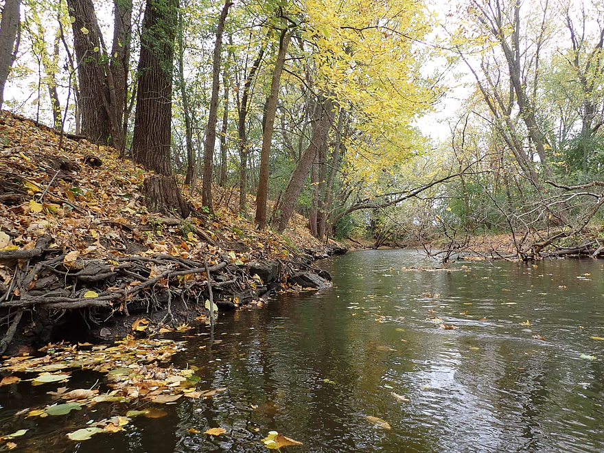
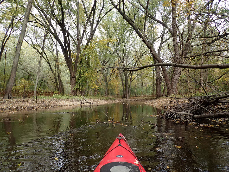
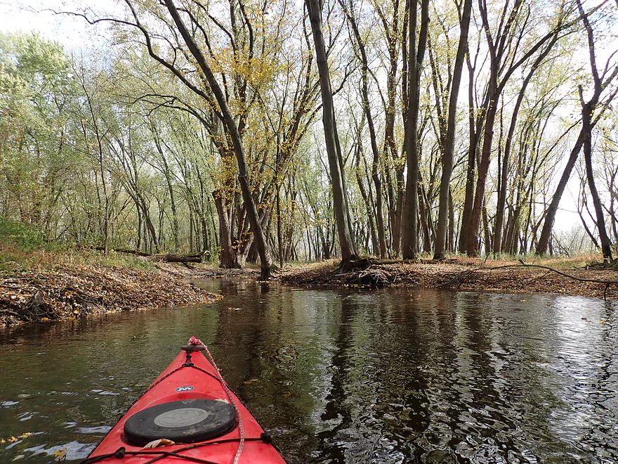
One of many attractive tree canopies
Squirrel bridge!
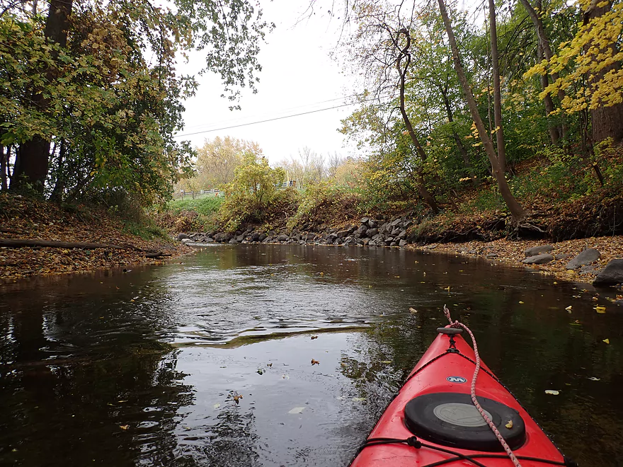
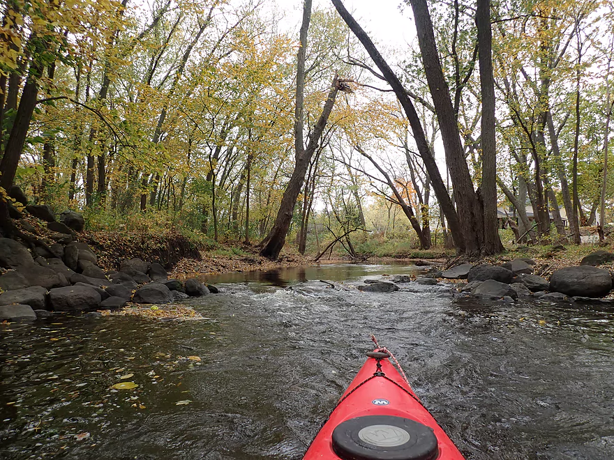
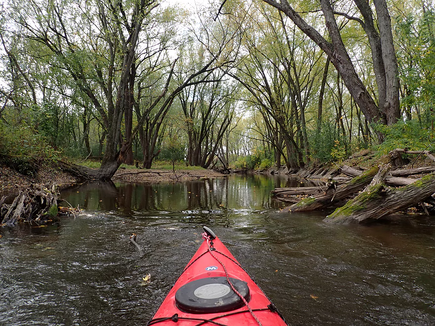
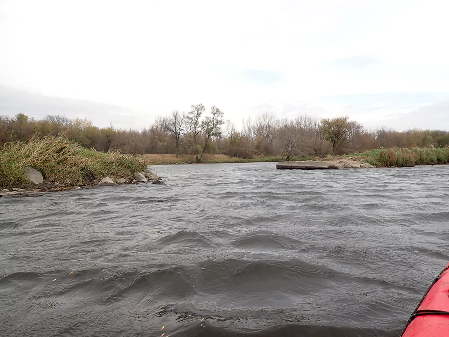
A rockier stretch
Reverse view
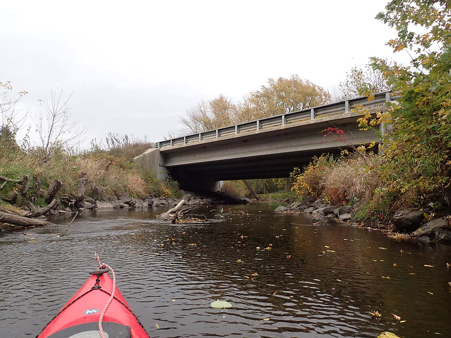
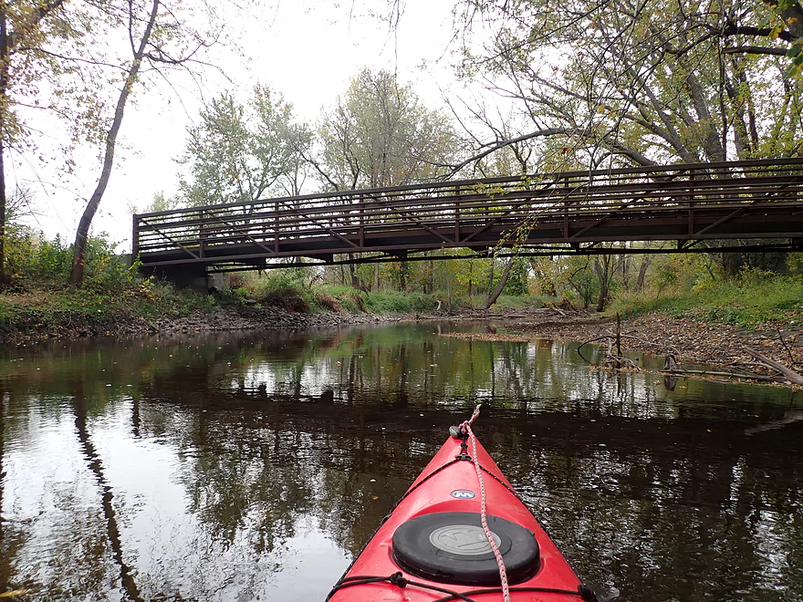
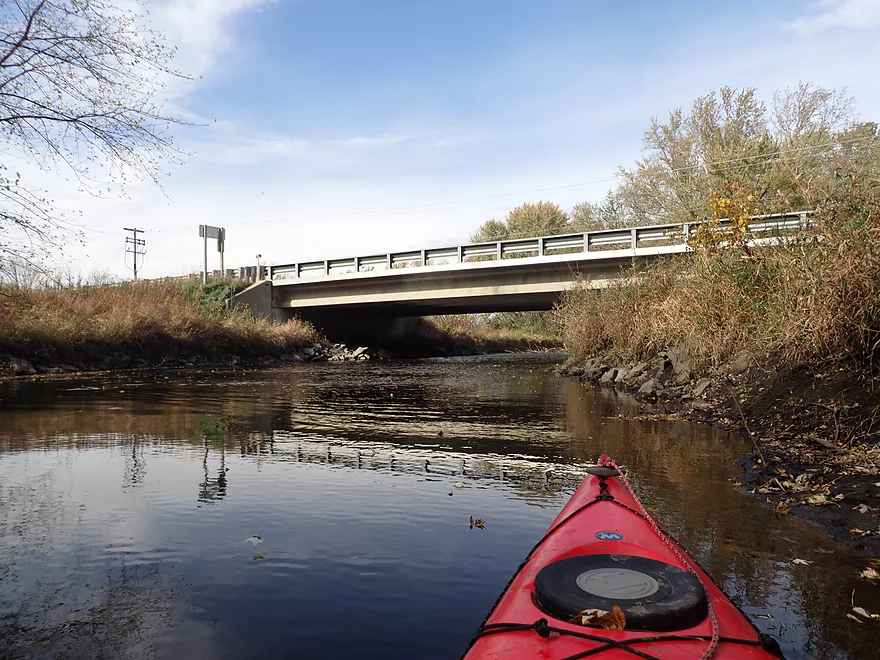
The first Hwy 19 bridge
Lot of leaves on the water
While mostly past peak there was still some fall color
Another small outcrop
Some light rapids
Reverse view
Entering a residential stretch
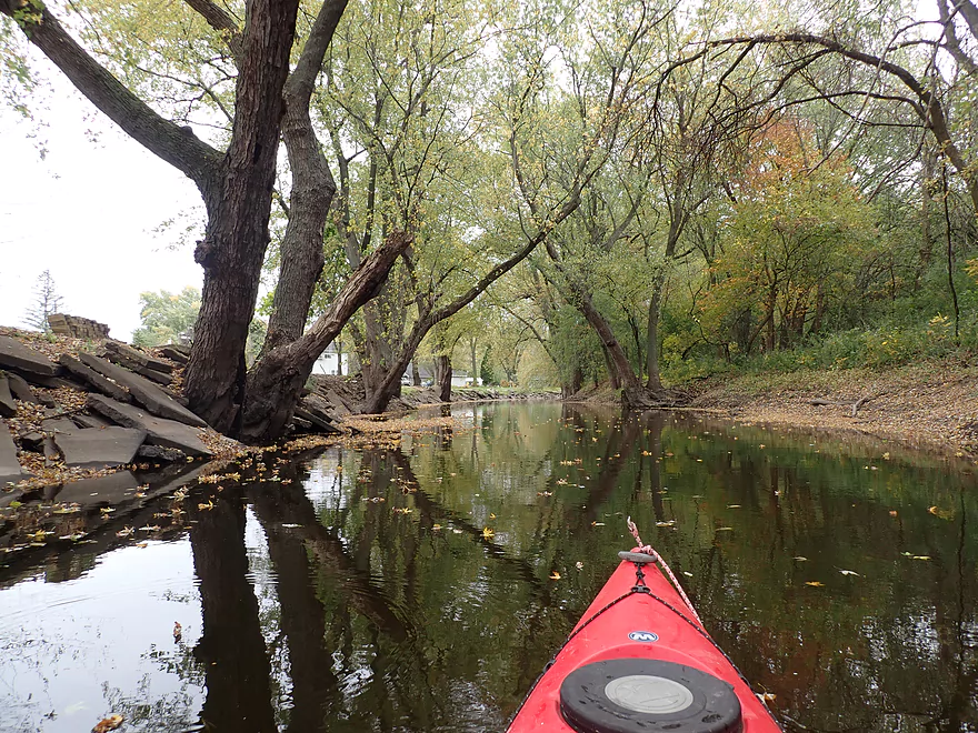
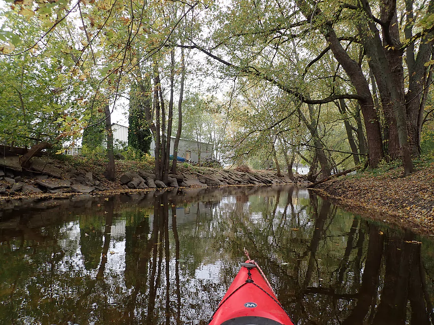
The left bank is mostly artificial fill
But still looks cool
A photogenic bend in the river
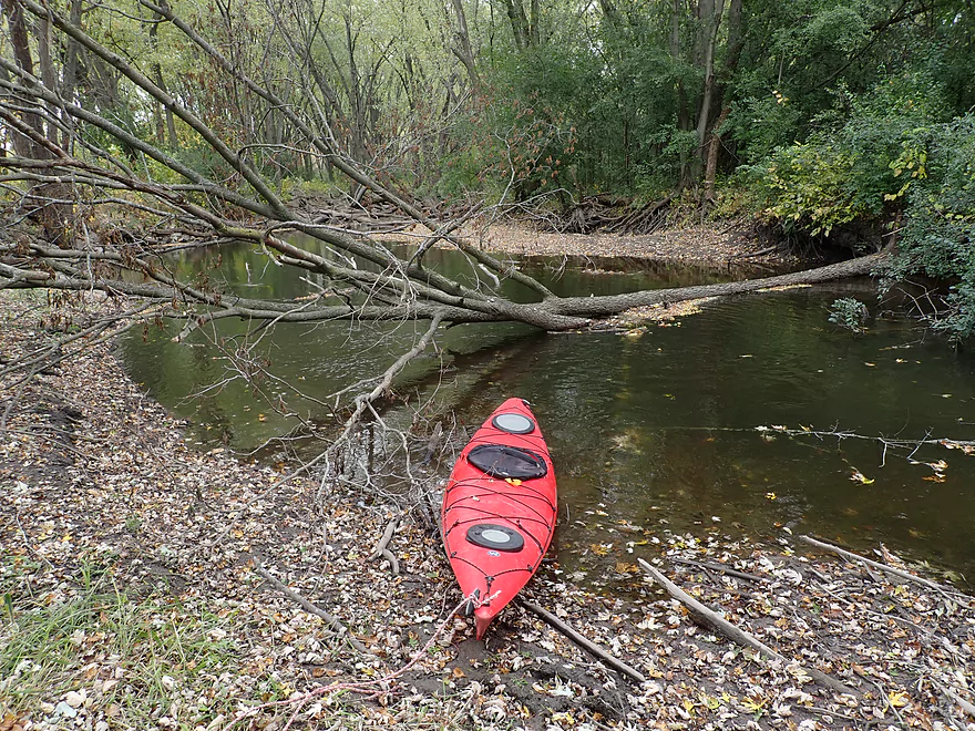
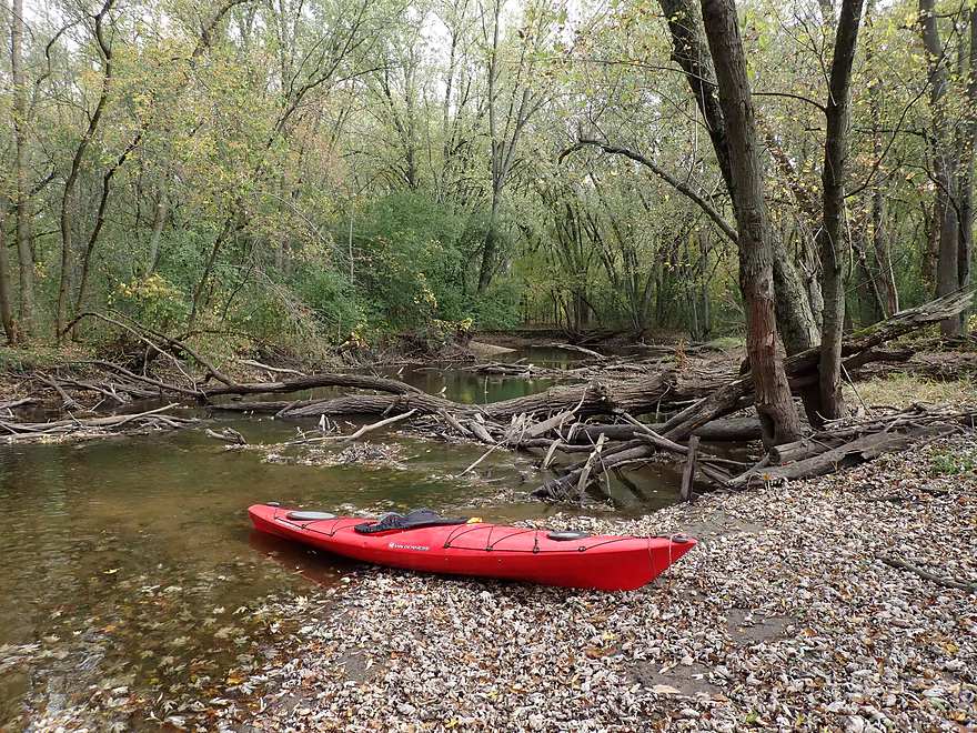
The first noteworthy logjam (easy portage)
Which is followed by a second logjam (not a bad portage on right bank)
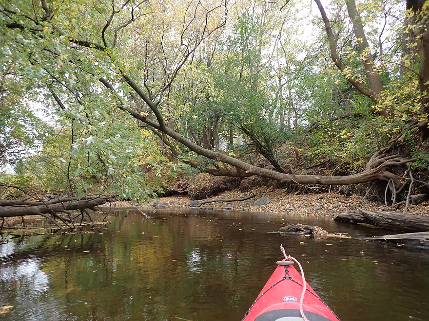
Another nice tree archway…kind of magical
Reverse view
Another logjam portage…very easy
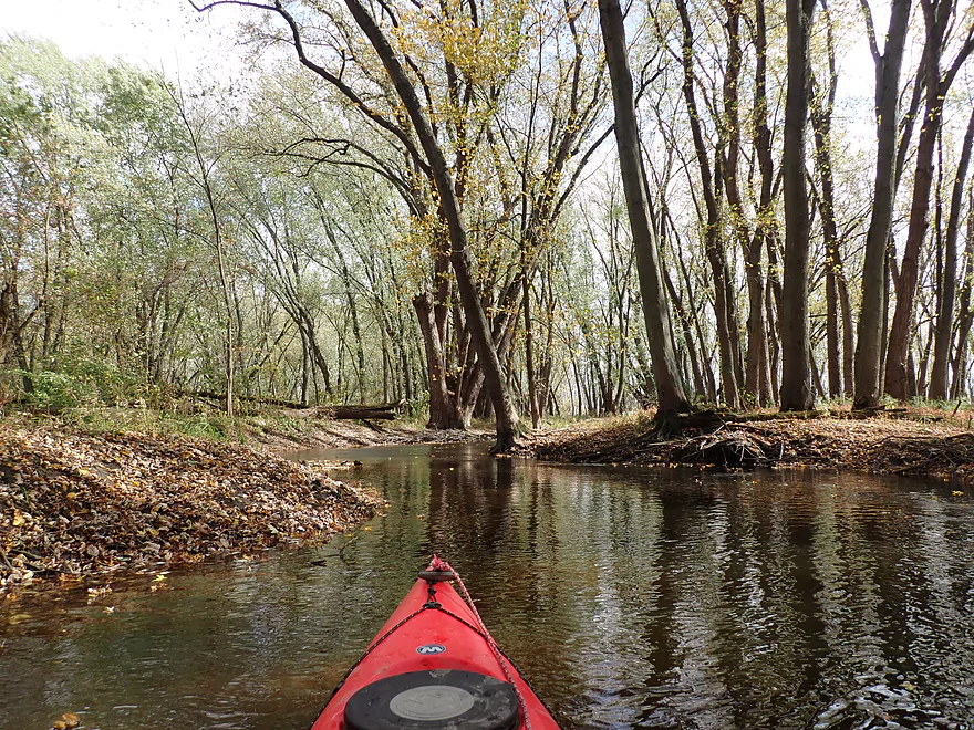
One of the narrowest parts of the river
Exposed roots single-handedly redirecting the river
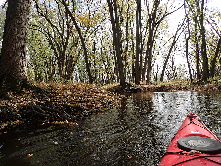
Paddling between more tree roots
The river looks low but I rarely hit bottom
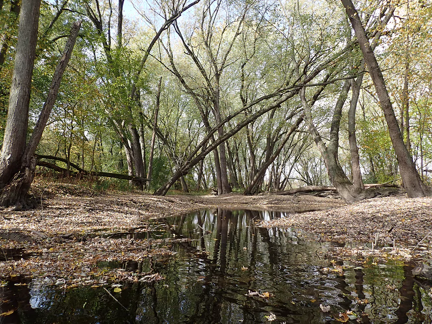
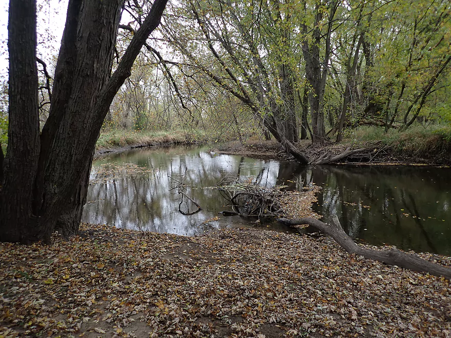
Cool side bay
The second Hwy 19 bridge
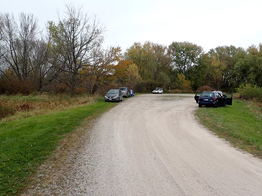
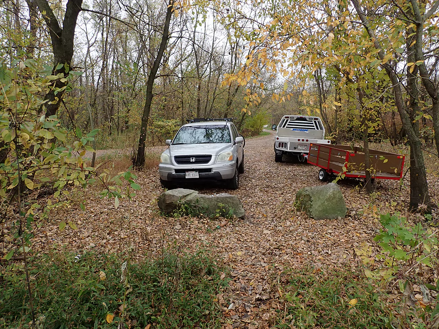
Where there is a surprise kayak access
Most paddlers launch here
I was surprised to see so many other paddlers on the river
A high water mark is visible on the tree
River opens up after the second Hwy 19 bridge
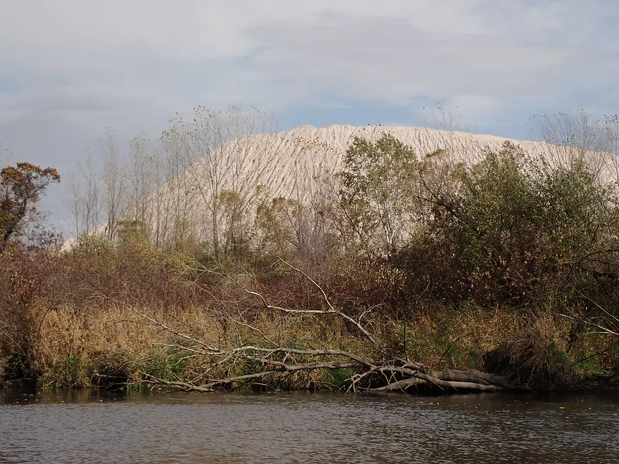
A large quarry pile…like a Saharan sand dune
Looks like a private campsite
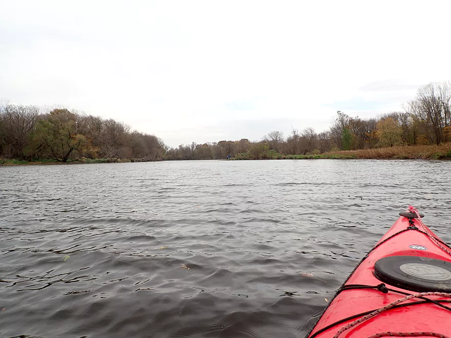
River really opens up
I’m sailing downstream with the help of huge wind gusts
The mouth of the Maunesha
Now on the Crawfish River
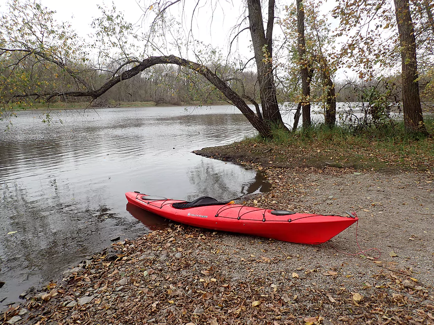
A public ramp is located just around the bend
A great public access
Alternatively paddlers can take out a mile downstream at Hwy BB
Maunesha River – Waterloo

Five years ago, I did a trip on the Maunesha from Marshall to Waterloo. A lot went wrong (high water levels, logjams, my car getting stuck, and more). But, the river itself was scenic and had the potential to be one of the nicer woodland paddles in Southern Wisconsin. A few years ago the “Maunesha River Alliance” was formed. They’ve done tremendous work on the river including clearing almost all logjams from the Deansville Marsh to the mouth…a herculean task! At long last the final stretch of the river was now viable for paddling and I was eager to check it out.
I wanted to start this trip in Waterloo, which was where I ended my 2015 trip. But…I wasn’t a fan of the take-out I used last time (by the septic plant) as the banks were quite steep. I scouted the west end of Firemen’s Park and found a scenic pedestrian bridge which made for a much better access.
The first 1000′ of the trip flowed through Firemen’s Park. This was a fun part of the river with fast current and several light rapids.
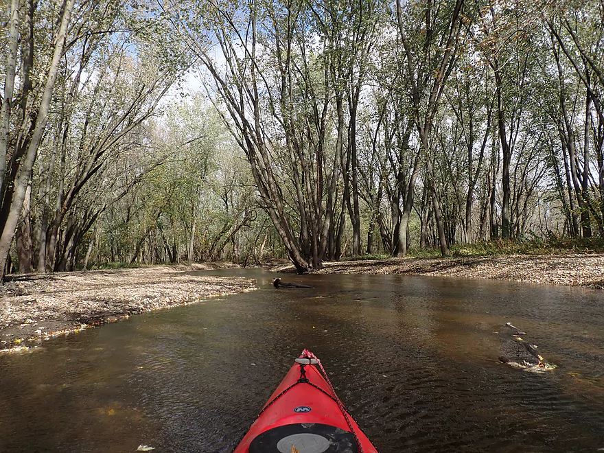
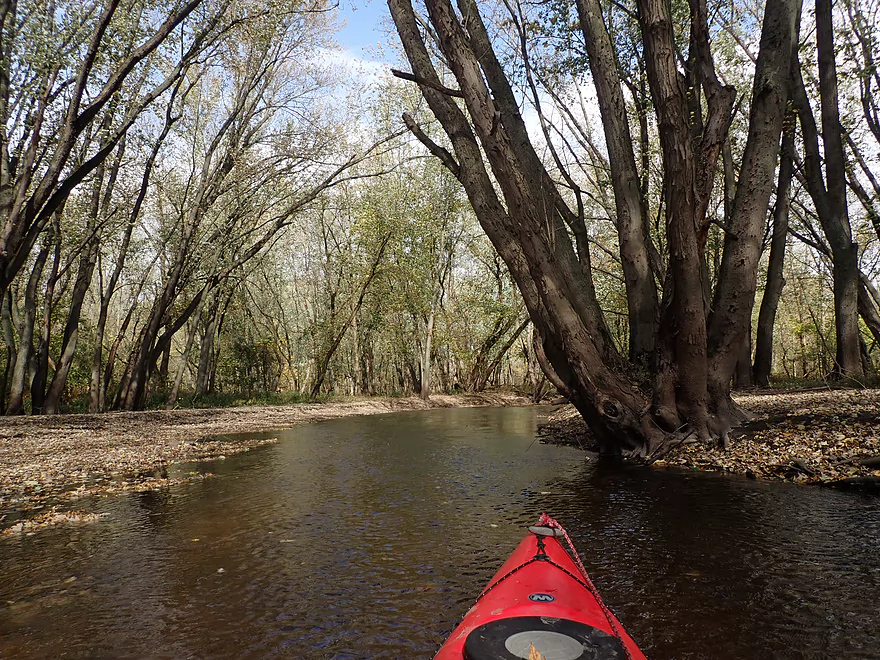
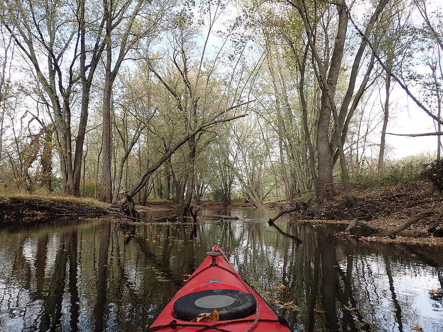
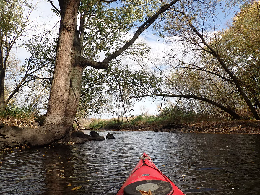
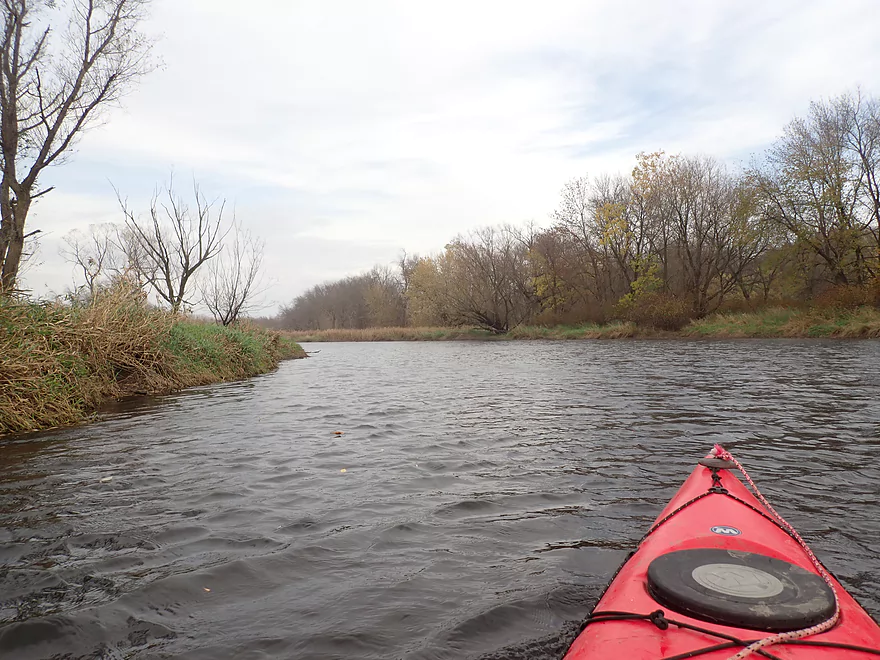
After the Spring Street bridge, the city of Waterloo unofficially ends and the shoreline became quite wooded. The scenery was surprisingly attractive with many exposed tree roots, occasional boulders, overhead tree canopies, and even a few micro rock outcrops. This trip was done at low water levels (in contrast to my 2015 trip which was high), and I think that made a big difference. As a general rule, rivers tend to be more attractive when low, as high water often covers up a lot of interesting character.
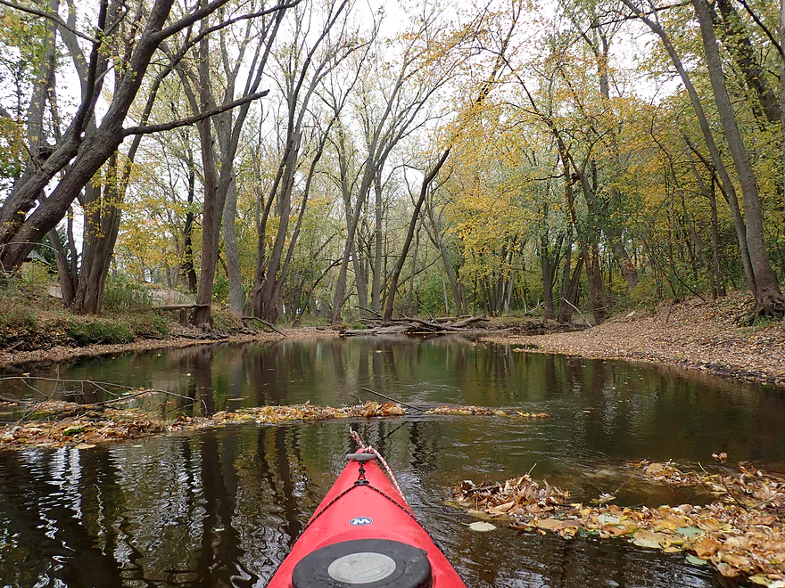
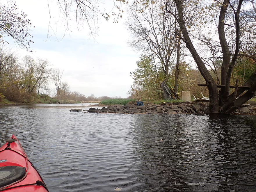
There were a few downed trees that required maneuvering around in the first few miles, but it wasn’t too difficult. In several locations I could see where cleanup efforts had removed some fairly nasty logjams from the river.
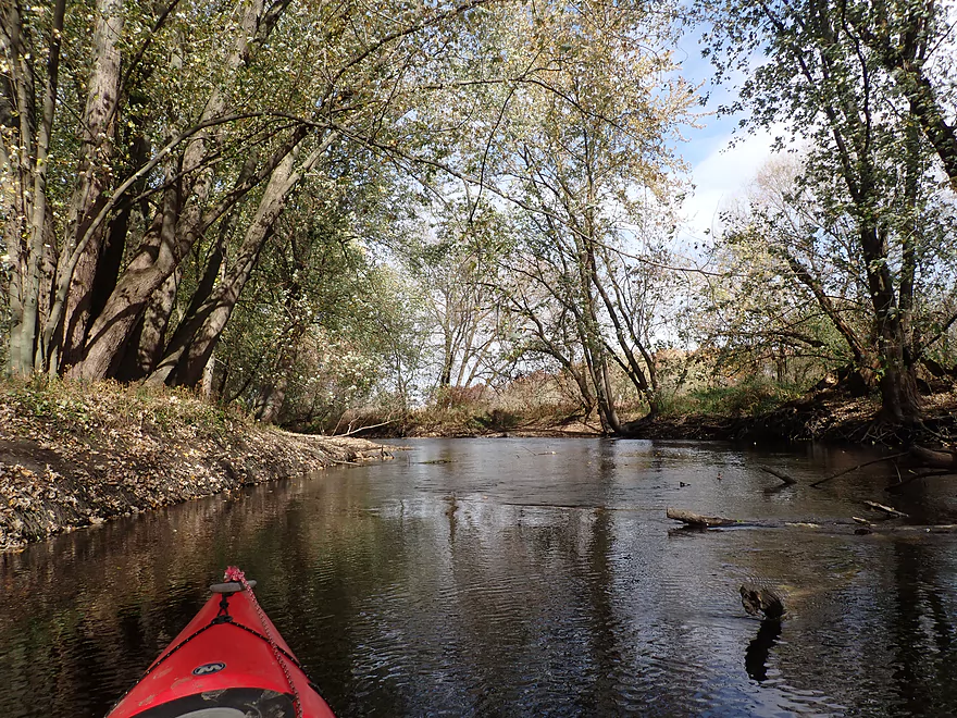
I soon came to the first Hwy 19 bridge, which seemed like a doable access. After the bridge, the river continued with more woodland scenery. Recent wind and rain had done a number on fall color, but there were still some trees turning. Littered across the surface were countless yellow silver maple leaves which were a cool sight.
Roughly halfway between the two Hwy 19 bridges, I encountered my first serious logjam. I was a bit surprised, as the Maunesha River Alliance had recently cleared out this stretch. My hypothesis is that these were “hidden jams” that only appear at low water levels, and typically when the river is higher they aren’t present. There were roughly four of these jams…almost in a row. None of the portages were difficult, and I did break a few key branches which will help future paddlers get through when the river is low.
Webmaster’s update…”Maunesha River Alliance” was able to clear out these jams and this section is now clear!
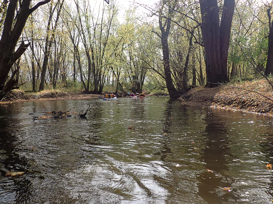
The second Hwy 19 bridge is home to a large canoe/kayak access area which I didn’t know about. I was surprised to see so many cars in the parking lot given the bad weather (it was cold, windy and slightly raining). It turned out this was a large event coordinated by the “Maunesha River Alliance”. Most of these paddlers were doing round trips from this landing downstream to the mouth area and back.
The last two miles of the trip weren’t as interesting. Before the river was wonderfully narrow and hemmed in by large tree roots. Now the river widened and slowed dramatically. The scenery really became less interesting as the woods thinned out. One of the unique sights on this stretch were these huge gravel mounds you could see from a nearby quarry. They towered over the horizon…like Saharan sand dunes.
On the final leg of the trip, huge wind gusts kicked up. Thankfully they pointed downstream, and I was able to raise my paddle overhead to “sail” to the mouth. The wind was so strong it was kicking up large dust clouds which gave a unique ambiance to the river. I finally came to the mouth of the Maunesha where it empties into the Crawfish River. Just downstream from the mouth was a really nice public boat ramp which made for a great take-out.
In summary, this was a trip that turned out surprisingly well (despite the cold weather, rain and stiff wind). The best part was from Waterloo to the second Hwy 19 bridge, which I consider one of the nicer wooded paddles I’ve done. The last two miles were ok…but not nearly as interesting. I suspect most paddlers new to the Maunesha will prefer to put in and take out earlier. A route from “The Dock” to the second Hwy 19 bridge would IMO be a fantastic 6 miles trip and contain the best parts on the entire river. Special thanks to the “Maunesha River Alliance” for all their hard work…without of which I would have NEVER done this trip. Make sure to follow them on Facebook where they post frequent river updates.
I didn’t see too much, which is typical for late fall paddles. Sights included two eagles and a muskrat that hopped into the river a mere two feet from my boat.
Waterloo Firemen’s Park: This is a long park that parallels the river in town and has several access options. What I chose (and what I suggest) is to launch at the first pedestrian bridge (here). Street parking is available on Park Ave. From there you can drag your boat 200′ down the hill to the bridge, where it is easy to launch by the light rapids.
Alternate Put-ins:
- Waterloo Firemen’s Park – East End (1000 ‘ downstream from my put-in): Just east of the septic plant there is a marked landing (here). When water levels are high this can be a tricky access.
- Hwy 19 – Second Bridge (3.2 miles downstream from my put-in): There is a very nice public canoe/kayak access downstream from the bridge. The downside of putting in here…is you miss out on a really scenic stretch of the river.
Hubbleton Road Access: There is an obscure but very good public boat launch located on the Crawfish River just after the Maunesha mouth.
Alternate Take-outs:
- Hwy 19 – Second Bridge (2.3 miles upstream of my take-out): There is a great public access here.
- Hwy BB (1.0 miles downstream from my take-out): This is a good bridge access option (northwest corner) for those that don’t mind some additional Crawfish River paddling.
Hubbleton Road Launch to Firemen’s Park: 4.3 miles and 148′ of ascent. This was a hilly bike shuttle that had me walking several of the big ones. Outside of that, the shuttle wasn’t bad.
Current: Very slow…in high water the river may start to become somewhat pushy though.
Rapids: Practically none. There are a few riffles here and there….very minor.
Strainers: At my low depth, there practically weren’t any. But in high water, I could see there being strainers.
Wind: From Waterloo to Hwy 19 (2nd bridge), the river is fairly sheltered from the wind because of the woods and banks. But from the 2nd Hwy 19 bridge to the mouth, the river is quite open and wind could be a factor.
Logjams: This stretch used to have many logjams…but most have been cleared out recently by the Maunesha River Alliance. There is one short stretch located about halfway between the two Hwy 19 bridges had four noteworthy lojgams…3 of which I had to portage. These weren’t difficult though and shouldn’t deter paddlers. I suspect they will be cleared up in the future as well. For a map of the logjams, click here.
Webmaster’s update…”Maunesha River Alliance” was able to clear out these jams and this section is now clear!
Crawfish River @ Milford – 450 CFS: The Maunesha River lacks a gauge so it is difficult to provide an accurate depth guide. I suspect the best gauge is the Milford gauge on the Crawfish River located just downstream from the mouth. But obviously this isn’t accurate because it includes the much larger Crawfish.
- 0-300 CFS: A low depth. I suspect shallow-drafting boats could make it through, but deep drafting boats might find this too shallow.
- 301-400 CFS: An average depth and a good target range.
- 401-600 CFS: Above average depth…likely ok for paddling but not as scenic.
- 601-800 CFS: A high depth with perhaps poor water quality.
- 801-1100 CFS: A very high depth only suitable for experienced paddlers. The current may be pushy in spots.
- 1101+ CFS: Perhaps too high for enjoyable paddling.
Click here to see an overview map.
- Elder Lane to E. Branch Road: 1.8 miles. Likely too many logjams.
- E. Branch Road to Twin Lake Road: 1.1 miles. Likely too many jams.
- Twin Lake Road to Greenway Road: 1.4 miles. Likely too many jams.
- Greenway Road to Hwy TT: 4.0 miles. Passes through the Deansville State Wildlife Area. Logjams are likely a major concern, but some of these should be cleaned out in the process of being cleaned out. Greenway Road is likely NOT a feasible access.
- Hwy TT to Lion’s Park: 3.0 miles.
- Hwy TT to Charles Langer Family Park: 1.4 miles. Slow current, a bit muddy and partly wooded. This was recently cleared of logjams.
- Charles Langer Family Park to Lion’s Park: 1.5 miles. A lake paddle on Marshall Millpond. The banks are heavily developed but still somewhat interesting.
- Marshall Dam to Cherry Lane: 4.0 miles.
- Dam/Waterloo Road Access to Waterloo Road Bridge: 1.4 miles. A wider and more open section of the river.
- Waterloo Road Bridge to Cherry Lane: 1.6 miles. Nice wooded section.
- Cherry Lane to Waterloo Firemen’s Park: 5.3 miles. A very nice stretch. The first third flowed through a nice woods with thick gravel substrate. The second third is a more open paddle through a former flowage. The last third flowed through downtown Waterloo and contains many fun rapids.
- Waterloo Firemen’s Park to Hubbleton Road Landing: 6.4 miles.
- Waterloo Firemen’s Park to Hwy 19(1st bridge): 1.2 miles. A scenic wooded stretch.
- Hwy 19(1st bridge) to Hwy 19(2nd bridge): 2.0 miles. A very cool wooded stretch that is quite scenic.
- Hwy 19(2nd bridge) to Hubbleton Road Landing: 2.3 miles. River is wider, more open, and somewhat less interesting compared to upstream sections.
- Hubbleton Road Landing to Hwy BB: 0.9 miles. A short but simple stretch on the Crawfish. There are nice boulders in the river near BB.
Detailed Overview
- Elder Lane to E. Branch Road: 1.8 miles. Likely too many logjams.
- E. Branch Road to Twin Lake Road: 1.1 miles. Likely too many jams.
- Twin Lake Road to Greenway Road: 1.4 miles. Likely too many jams.
- Greenway Road to Hwy TT: 4.0 miles. Passes through the Deansville State Wildlife Area. Logjams are likely a major concern, but some of these should be cleaned out in the process of being cleaned out. Greenway Road is likely NOT a feasible access.
- Hwy TT to Lion's Park: 3.0 miles.
- Hwy TT to Charles Langer Family Park: 1.4 miles. Slow current, a bit muddy and partly wooded. This was recently cleared of logjams.
- Charles Langer Family Park to Lion's Park: 1.5 miles. A lake paddle on Marshall Millpond. The banks are heavily developed but still somewhat interesting.
- Marshall Dam to Cherry Lane: 4.0 miles.
- Dam/Waterloo Road Access to Waterloo Road Bridge: 1.4 miles. A wider and more open section of the river.
- Waterloo Road Bridge to Cherry Lane: 1.6 miles. Nice wooded section.
- Cherry Lane to Waterloo Firemen's Park: 5.3 miles. A very nice stretch. The first third flowed through a nice woods with thick gravel substrate. The second third is a more open paddle through a former flowage. The last third flowed through downtown Waterloo and contains many fun rapids.
- Waterloo Firemen's Park to Hubbleton Road Landing: 6.4 miles.
- Waterloo Firemen's Park to Hwy 19(1st bridge): 1.2 miles. A scenic wooded stretch.
- Hwy 19(1st bridge) to Hwy 19(2nd bridge): 2.0 miles. A very cool wooded stretch that is quite scenic.
- Hwy 19(2nd bridge) to Hubbleton Road Landing: 2.3 miles. River is wider, more open, and somewhat less interesting compared to upstream sections.
- Hubbleton Road Landing to Hwy BB: 0.9 miles. A short but simple stretch on the Crawfish. There are nice boulders in the river near BB.
Trip Map
Overview Map
Video
Photos Size: