
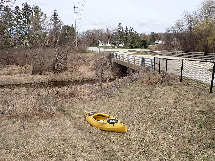
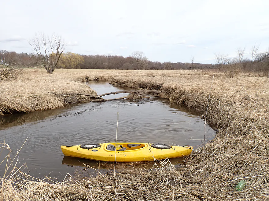
Putting in at Merrill Hills Road
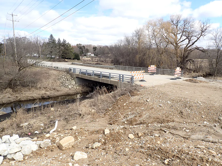
It looked very different when I scouted it previously
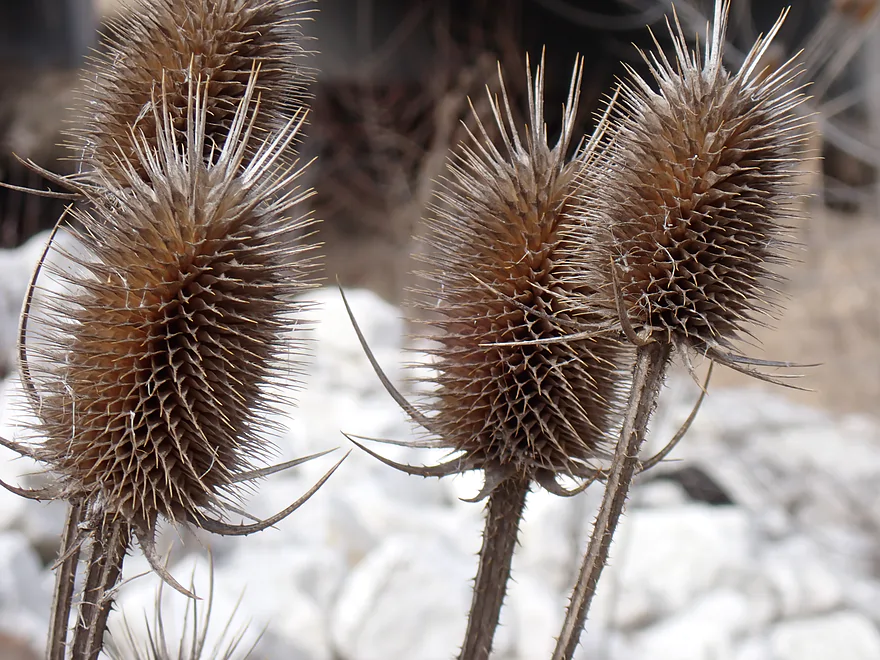
Spiky teasels at the put-in
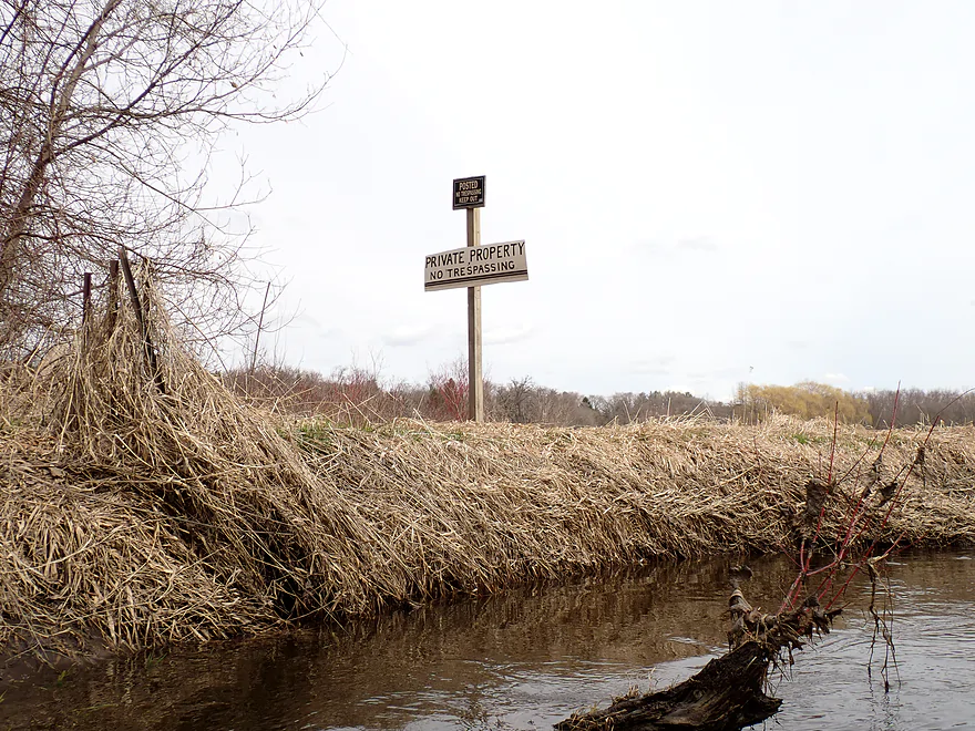
You can’t launch from the north side (No Trespassing signs), but the south side seems to be okay

Welcome to Waukesha
Logjam #1 (easy portage)
Creek starts in a generic suburban wetgrass marsh
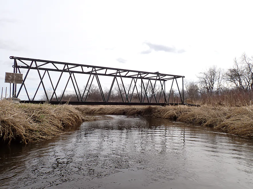
Some type of trail bridge
Taking a picture of the Glacial Drumlin Trail
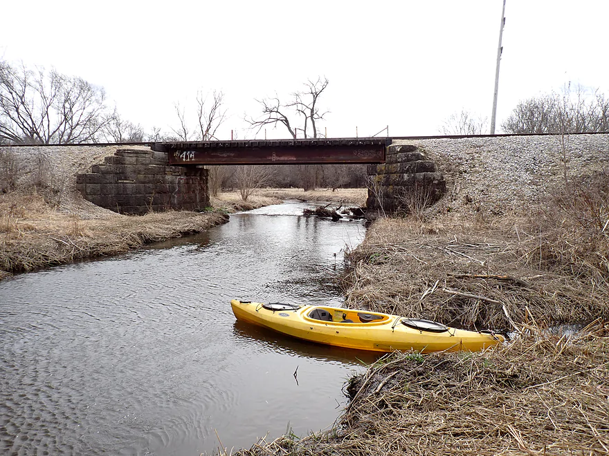
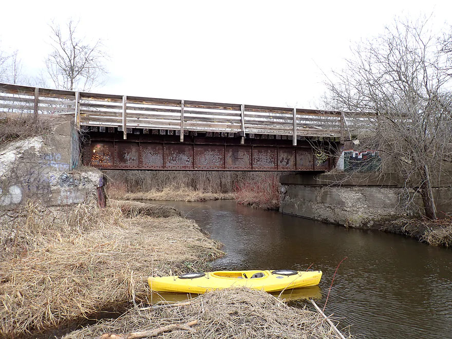
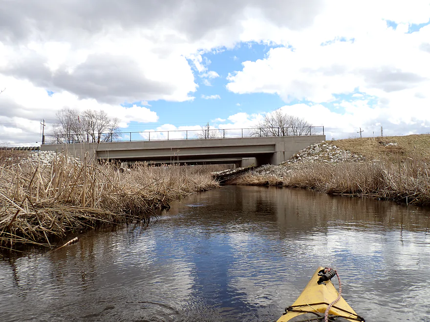
Just downstream from it is a railroad bridge
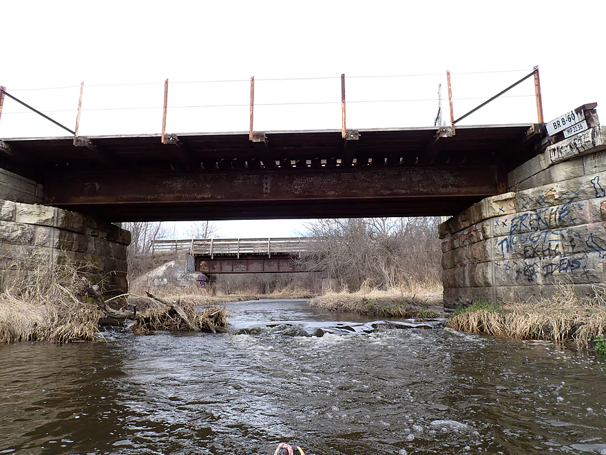
Which has a nice little ledge
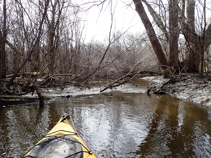
After the bridge is “the woods” and the start of logjams
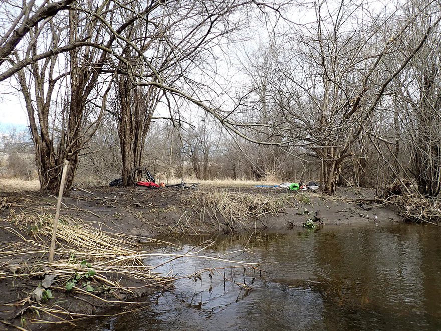
A lot of garbage in the woods
Logjam #3
Logjam #4
Logjam #5
About to enter a mud/stick/leaf carwash
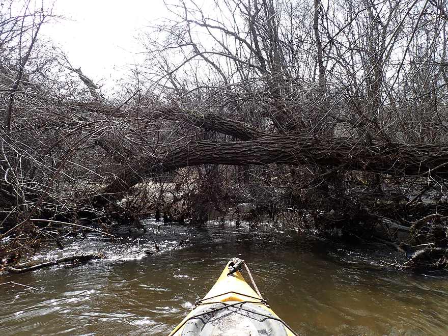
Logjam #6

Logjam #7
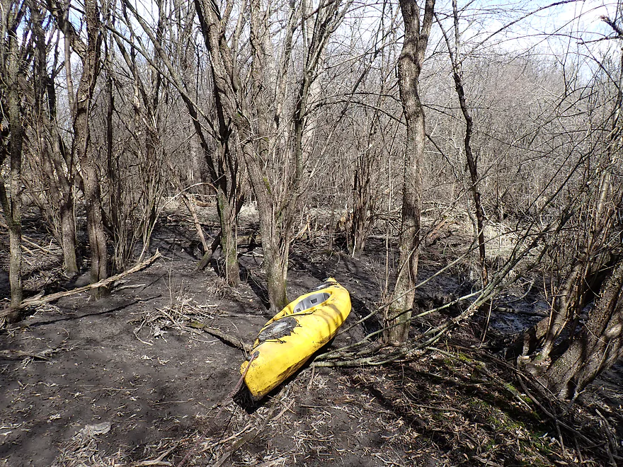
Doing a super portage around a huge mess
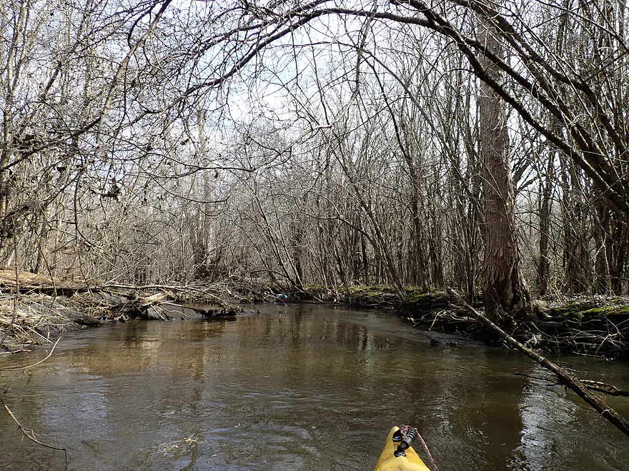
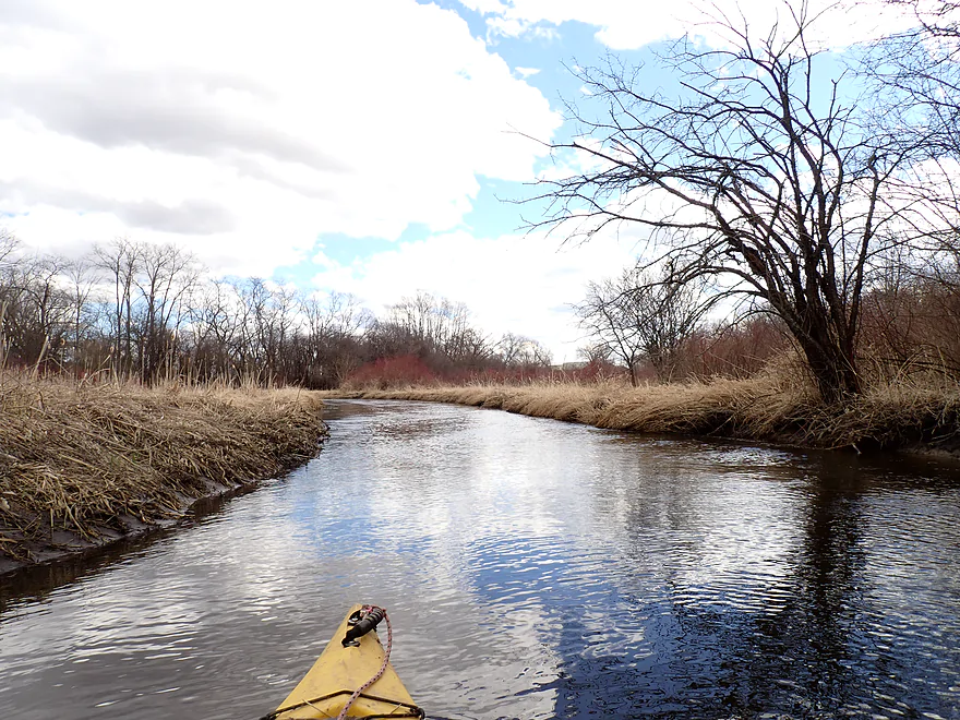
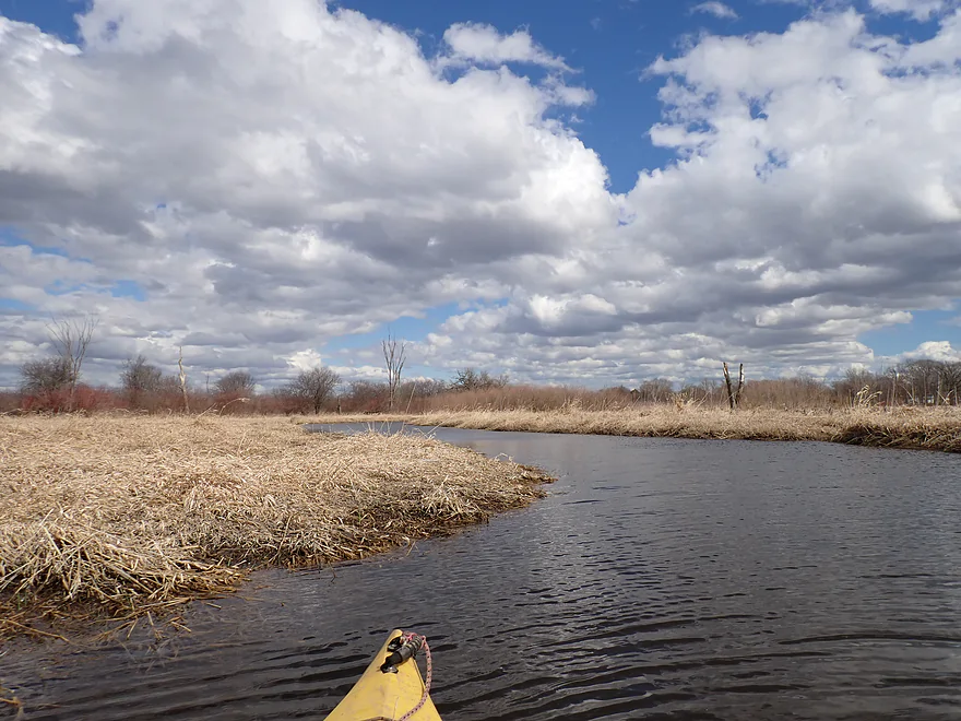
At long last…the woods end…no more portages for the rest of the trip
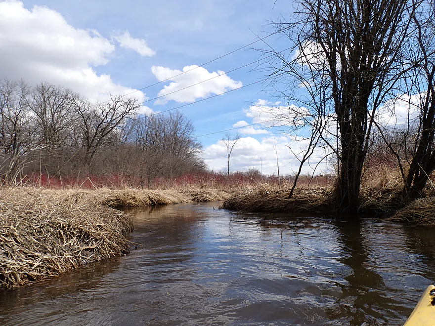
Sun and blue skies also come out
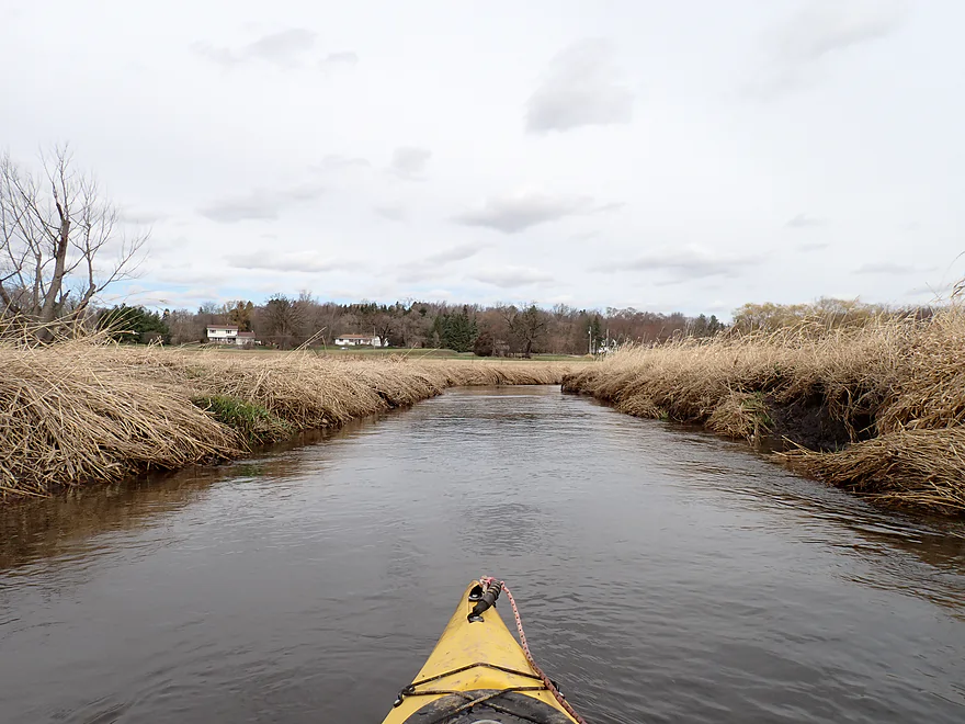
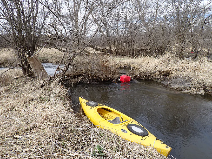
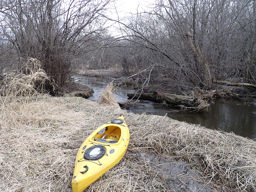
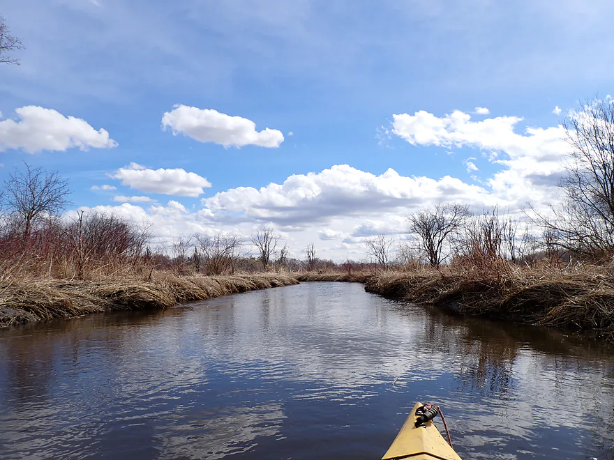
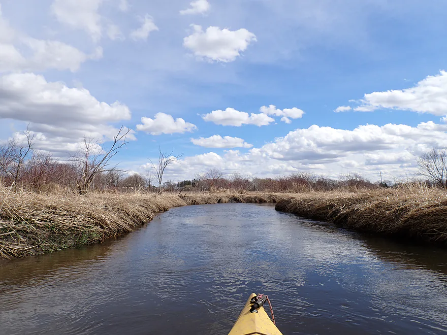
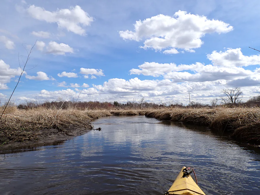
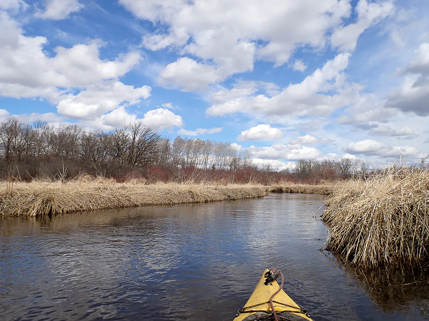
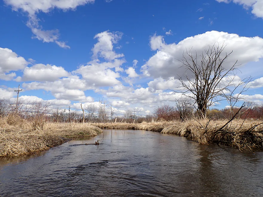
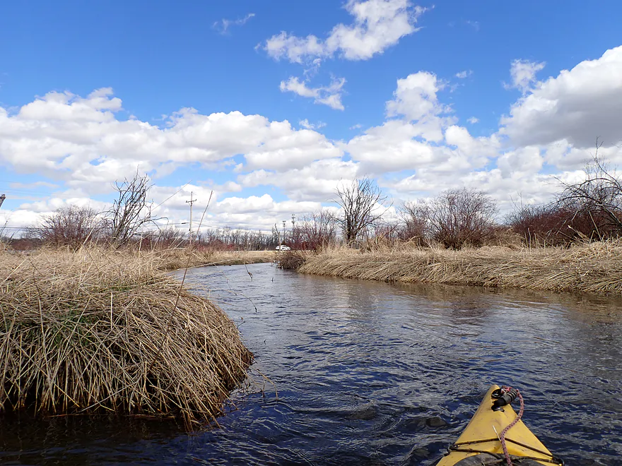
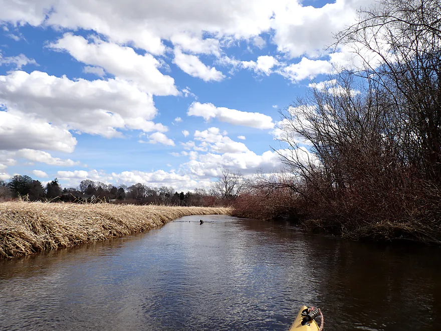
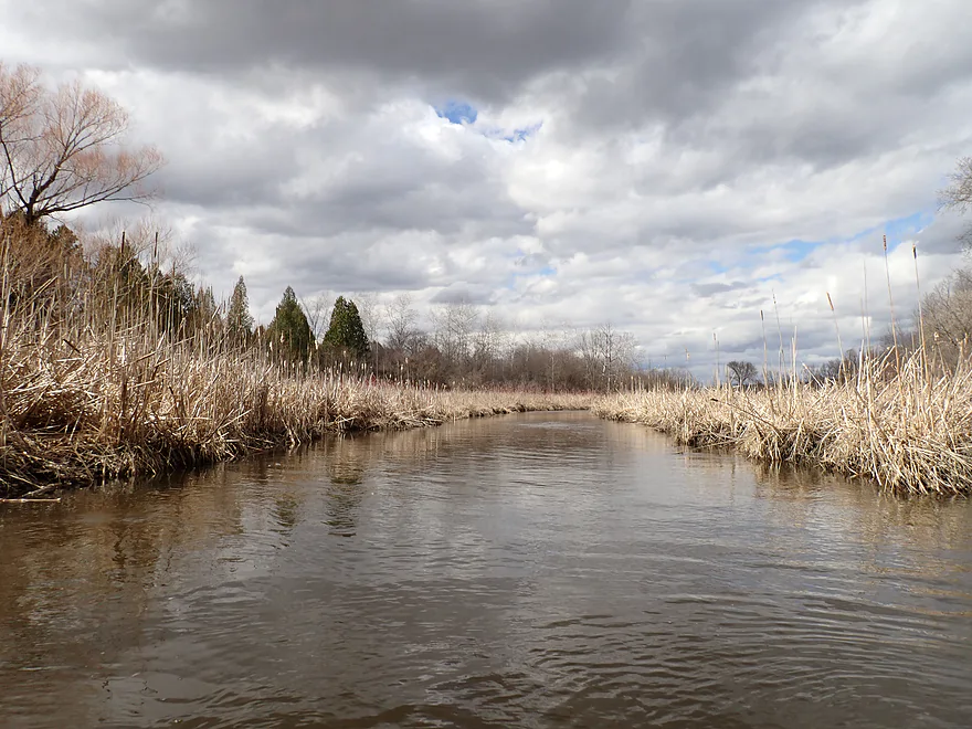
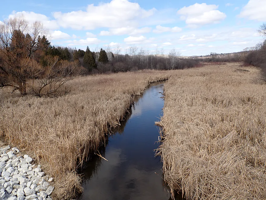
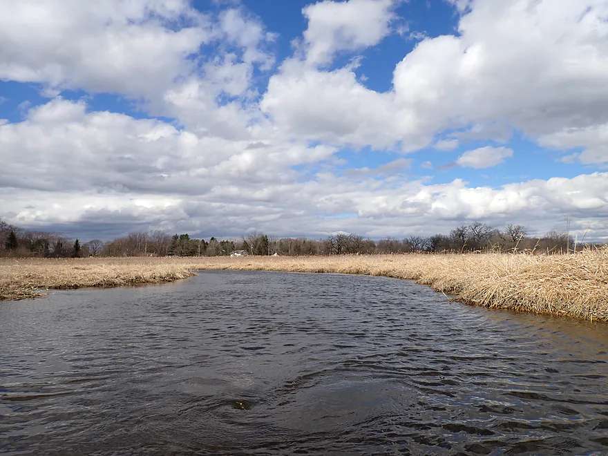
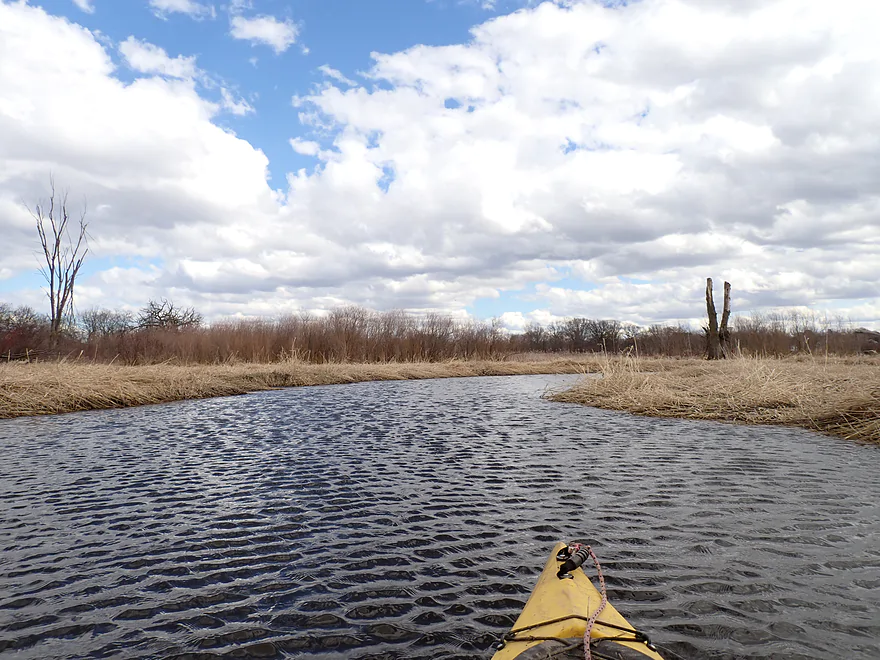
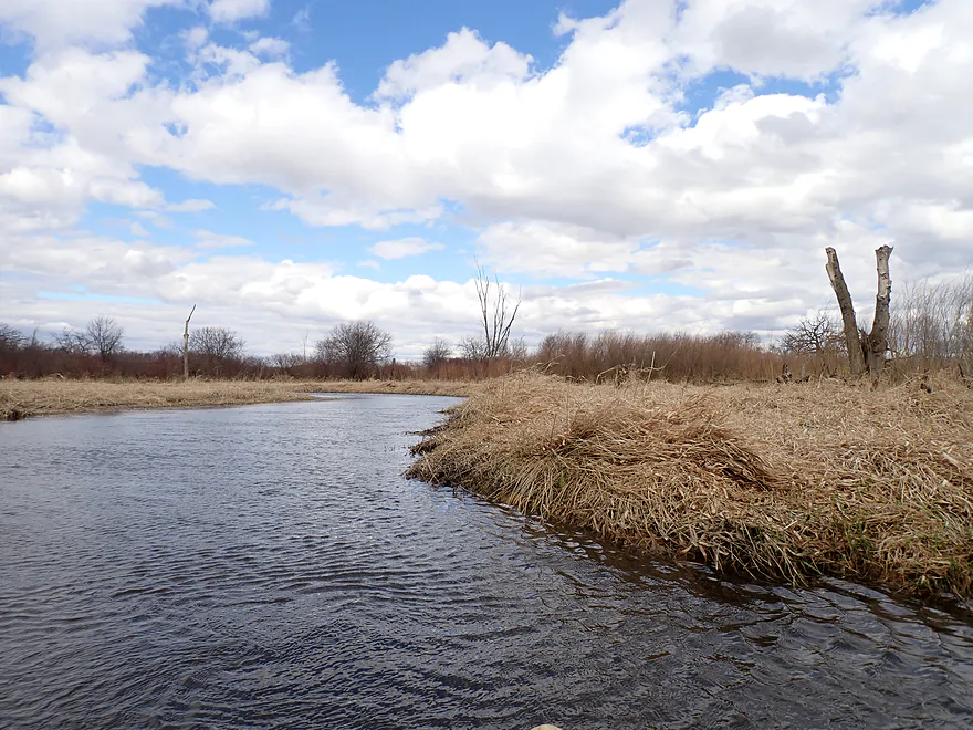
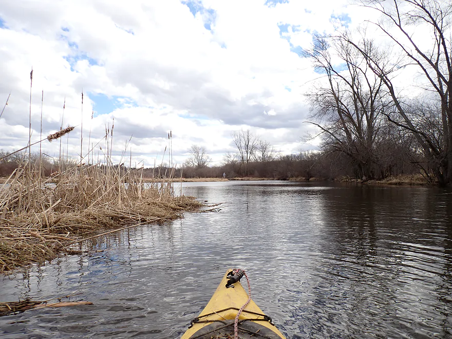
This was a nice stretch
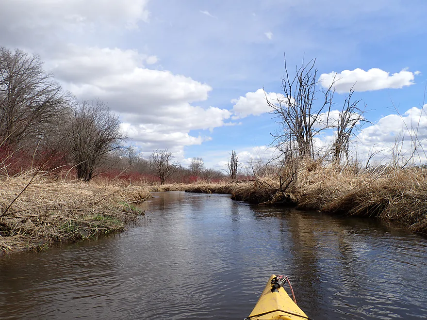
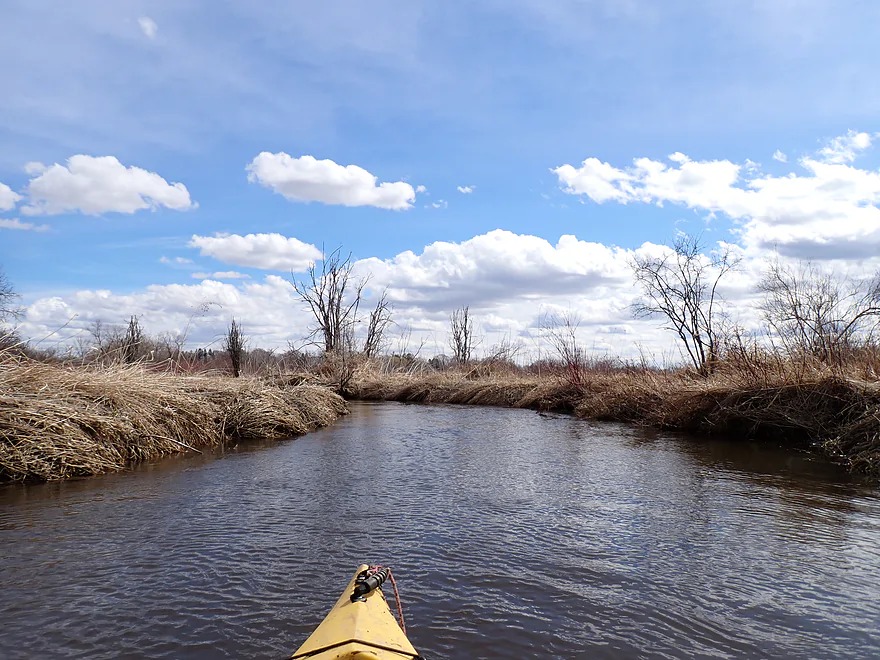
Mostly wetgrass, but some cattails
Sunset Drive…not an ideal bridge access but should be doable
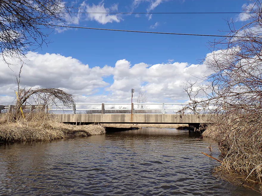
This is a low bridge that tapers at the end
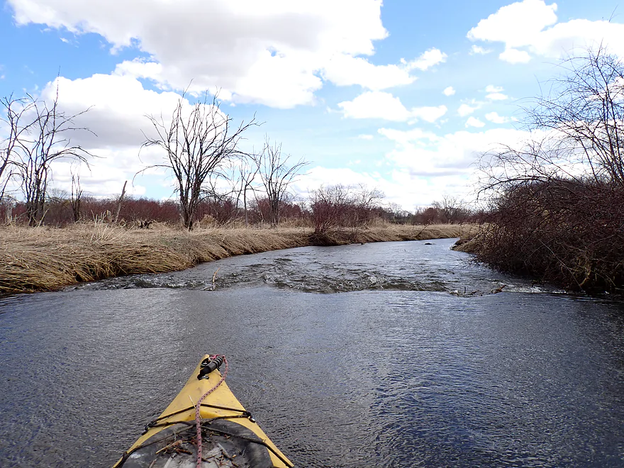
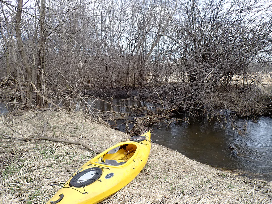
More little riffles
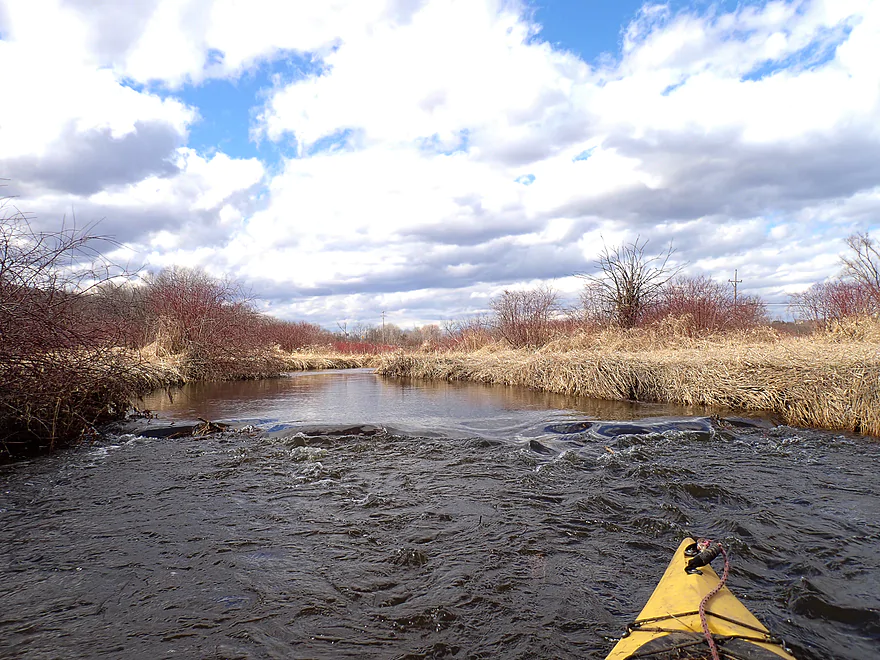

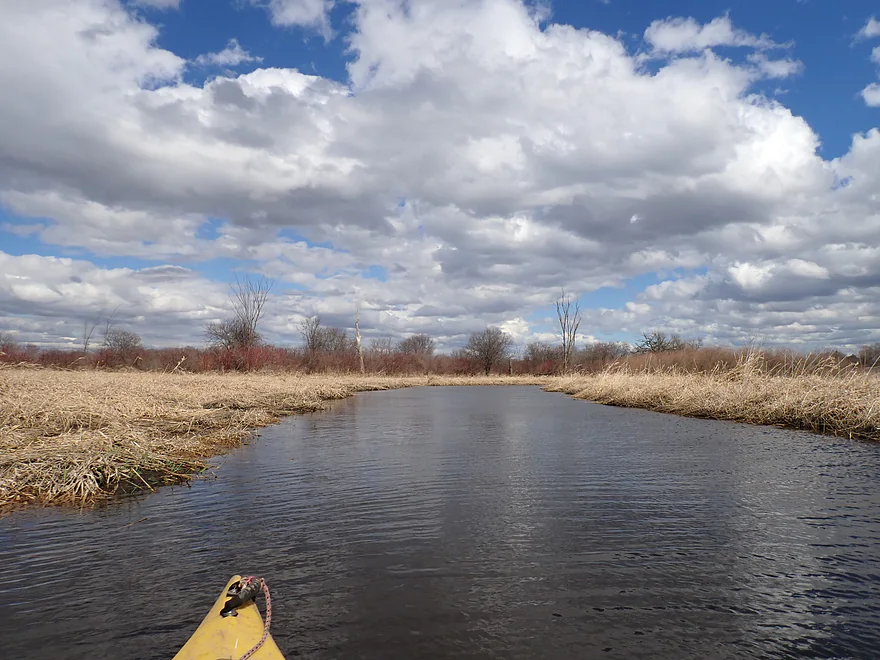
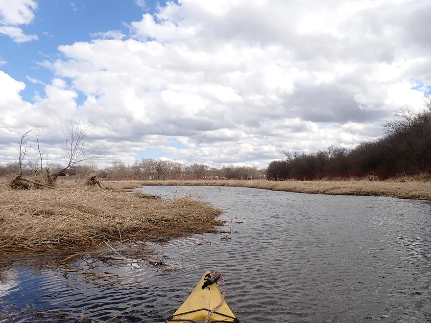
Lots of red osier dogwood along the bank
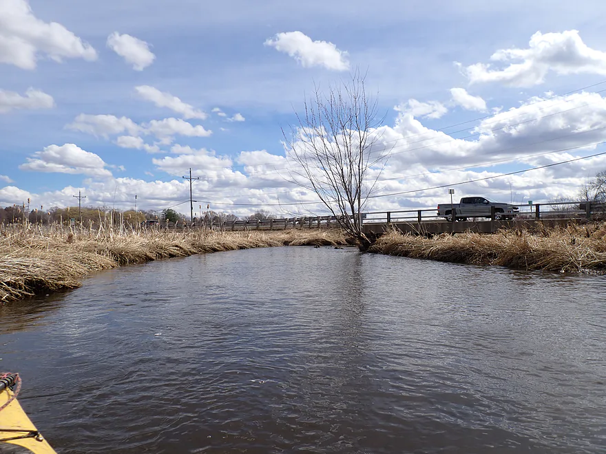
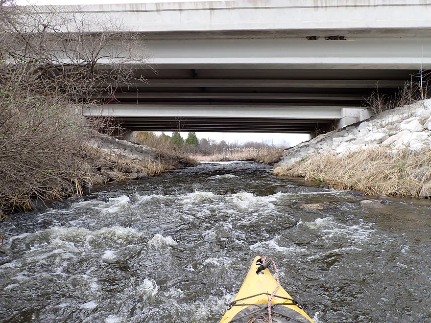
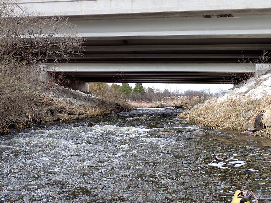
Genesee Road (not an access option)
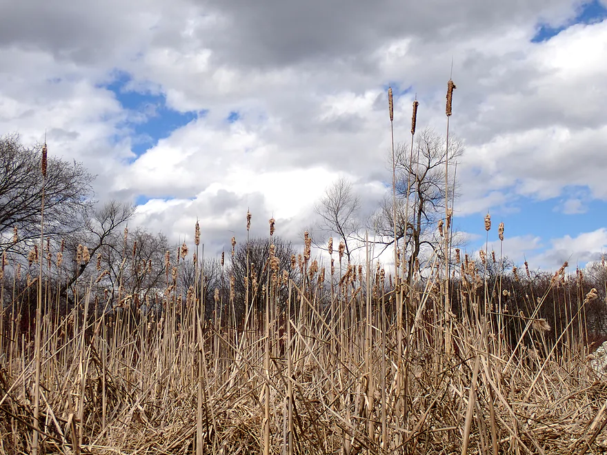
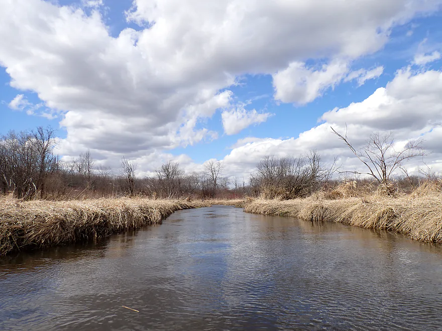
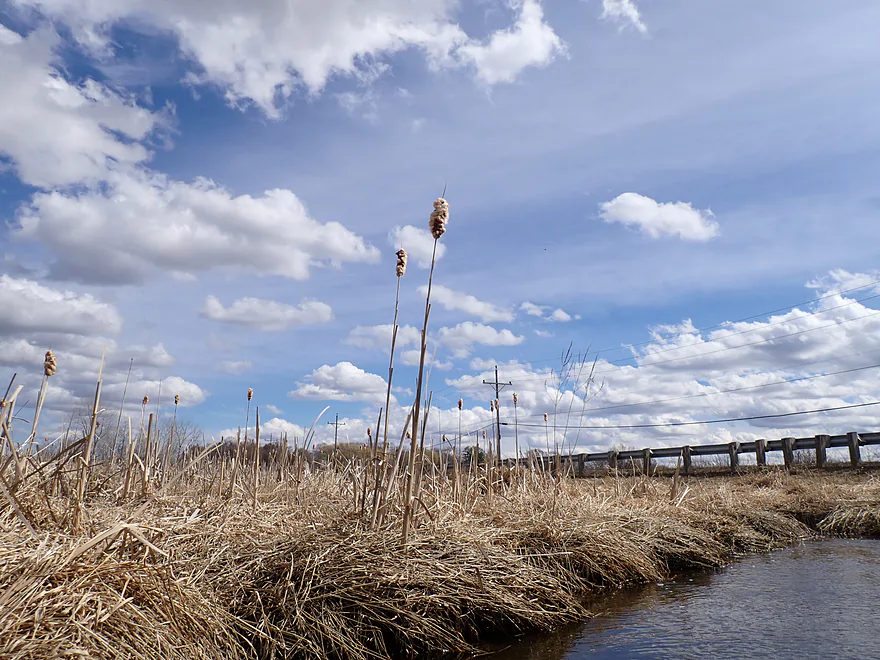
Attractive cattail marsh by the bridge
Reverse view
Same view but from atop the bridge
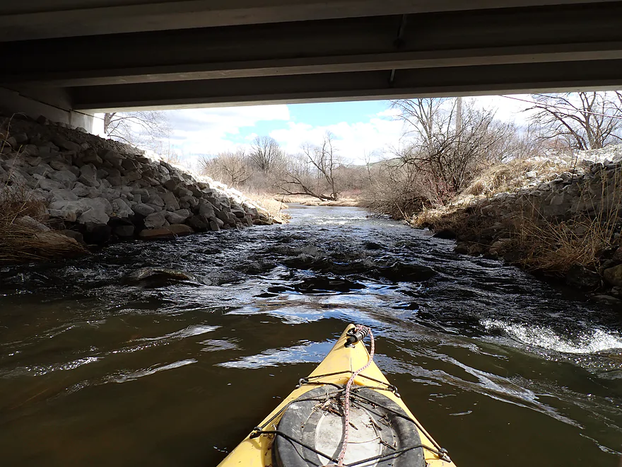
Rapids under the bridge
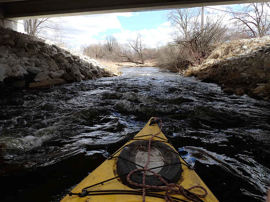
Pretty fun
Reverse view
Maybe Class 1+…almost 2
Creek widens as it passes this mega church
This stretch had almost no current
Getting blasted by strong wind
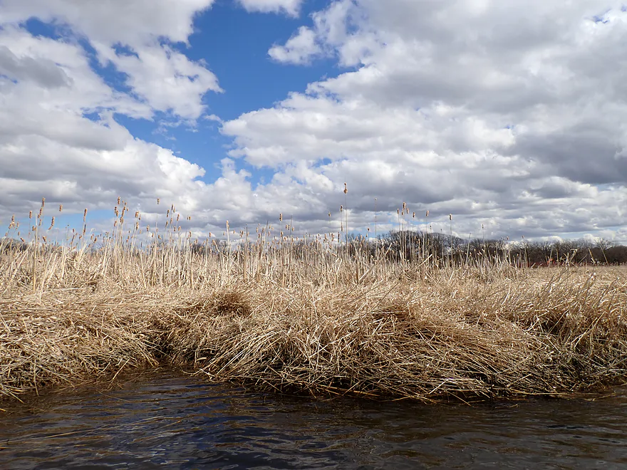
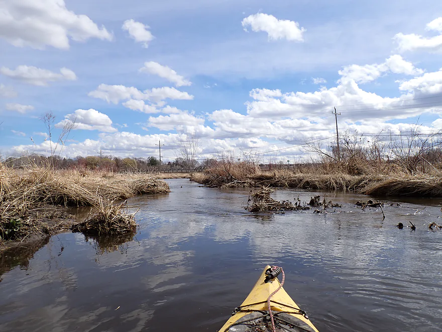
Some more cattails
Pebble Creek joins the Illinois Fox River
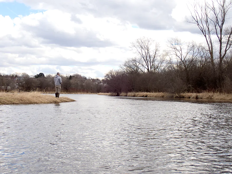
Fisherman on the bank
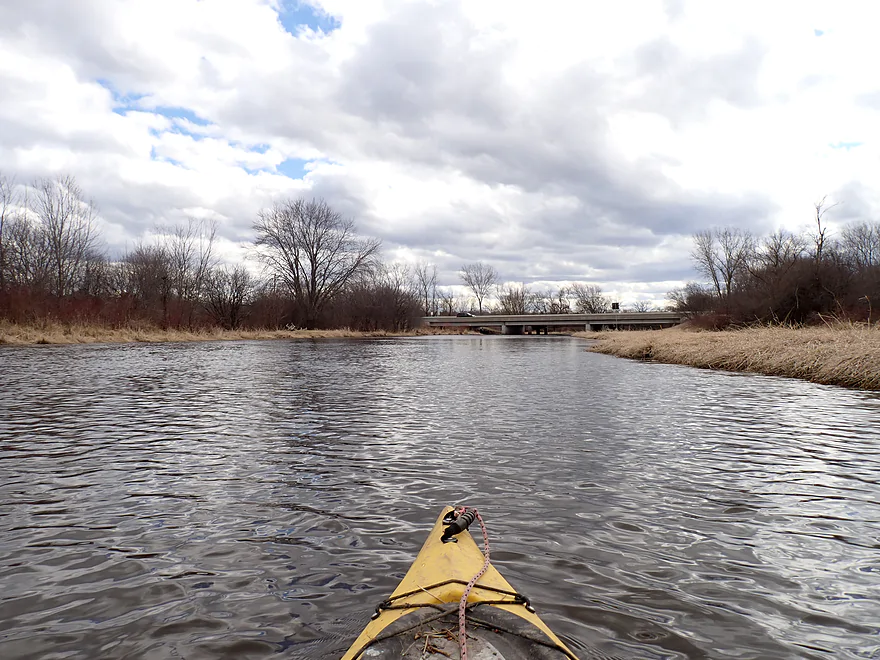
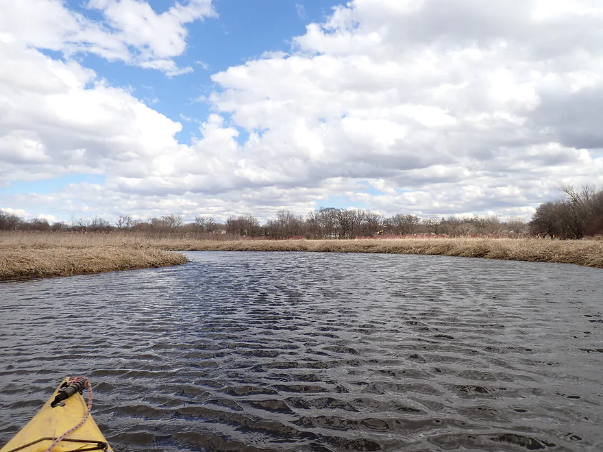
This stretch of the Fox is straight, wide and generic…but not awful
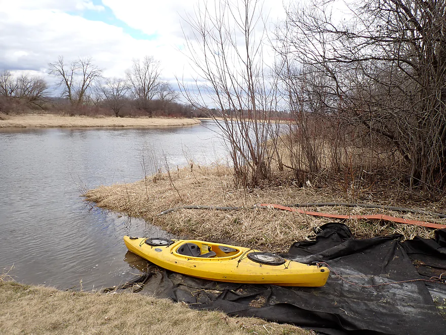
Taking out at Fox Park
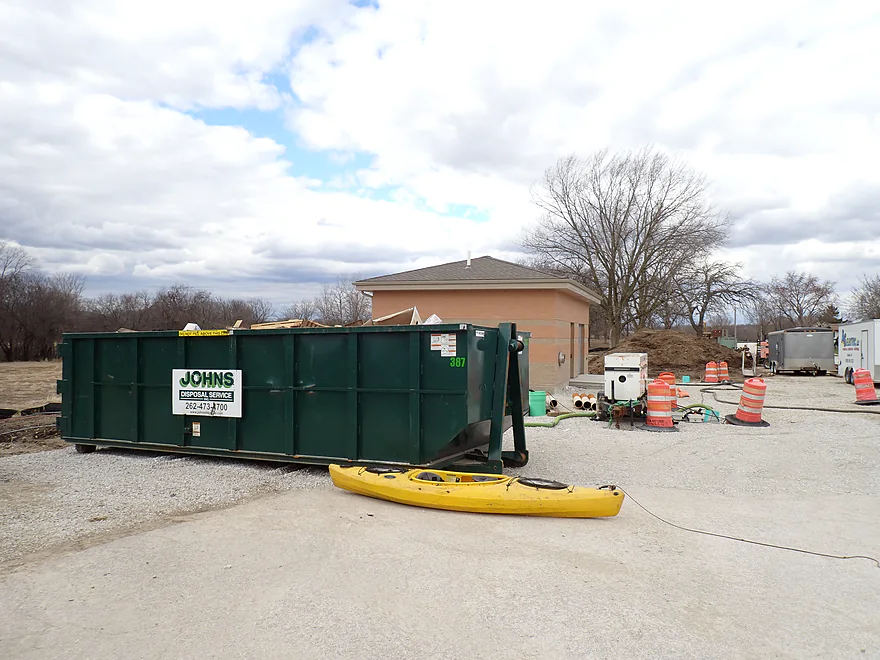
This is officially a public access for paddlers, but sadly a local construction company is using it to store a dumpster
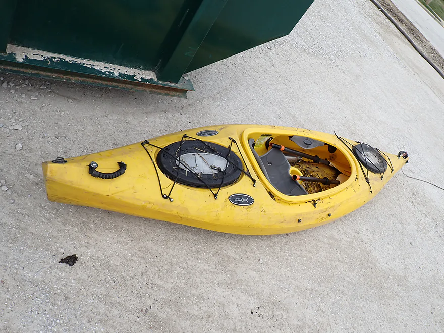
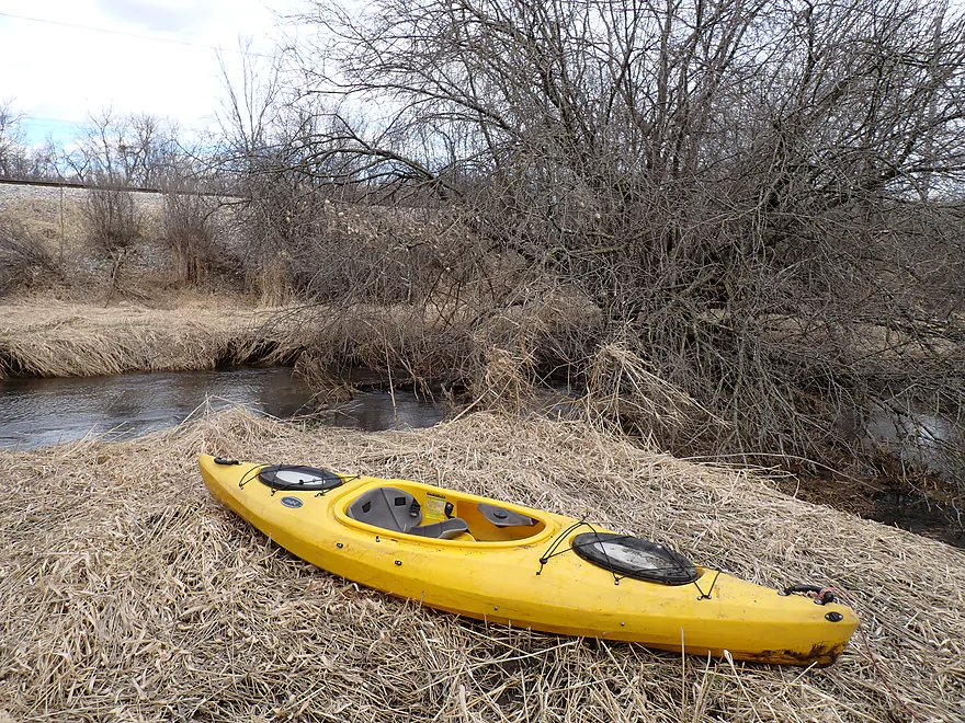
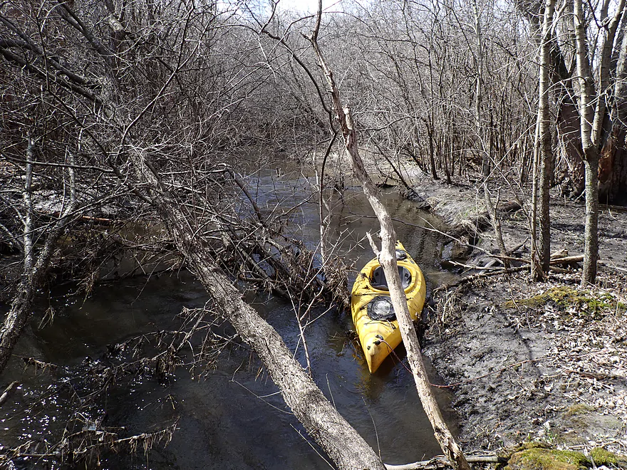
A really filthy boat, thanks to a couple of strainers
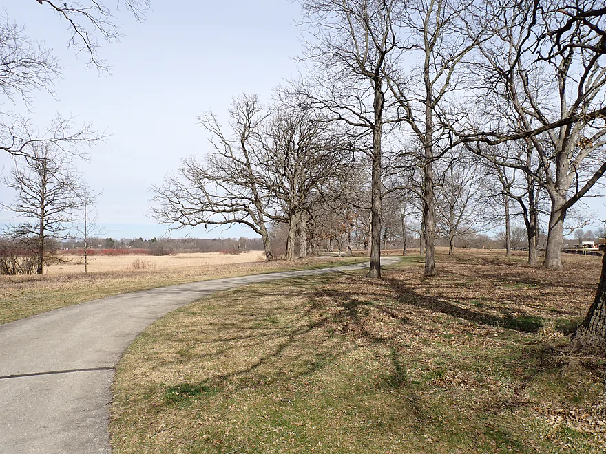
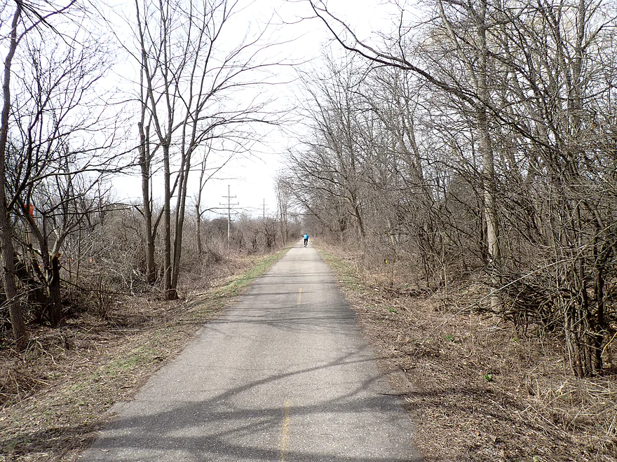
Terrific bike shuttle to the put-in…this is the Fox River Trail
And this is the Glacial Drumlin State Trail
Pebble Creek


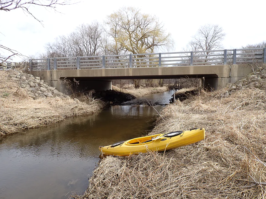
Pebble Creek is an obscure tributary to the Illinois Fox River located just south of the city of Waukesha. I started the trip by Merrill Hills Road, which is a dead-end cul-de-sac formed by recent construction of the Waukesha Bypass. The road closure and No Trespassing signs along the northeast shore took me a bit by surprise as they weren’t there when I had previously scouted the location years ago. Thankfully much of the area appeared to be public as I saw bicyclists park their cars here and then use the bridge to access the nearby Glacial Drumlin Trail. To be safe with the shoreline access though, I crossed the bridge and launched along the southwest shore (almost under Hwy 18) which seemed to be public.
While the creek by the put-in was attractive, the next half mile wasn’t so much. Here the creek twisted sharply through an open and suburban marsh filled with generic wetgrass. It didn’t feel very private or secluded, and road noise from the nearby highway was pretty loud. The clear water I had seen from my previous scouting trip was now turbid and dirty from the high water. There was one logjam right off the bat, but it wasn’t a difficult portage despite the banks being fairly muddy.
The creek really changed after the railroad bridge. For the next half mile, the channel flowed through a muddy woods with a large number of logjams (six). Portaging was usually an unpleasant experience because the shoreline was so muddy (it had just rained) and overgrown. Sometimes you needed to portage the portage because the woods were so congested. Finally the trees gave way to another marsh which I (and my incredibly filthy boat) were grateful for. There wouldn’t be another logjam for the rest of the trip.
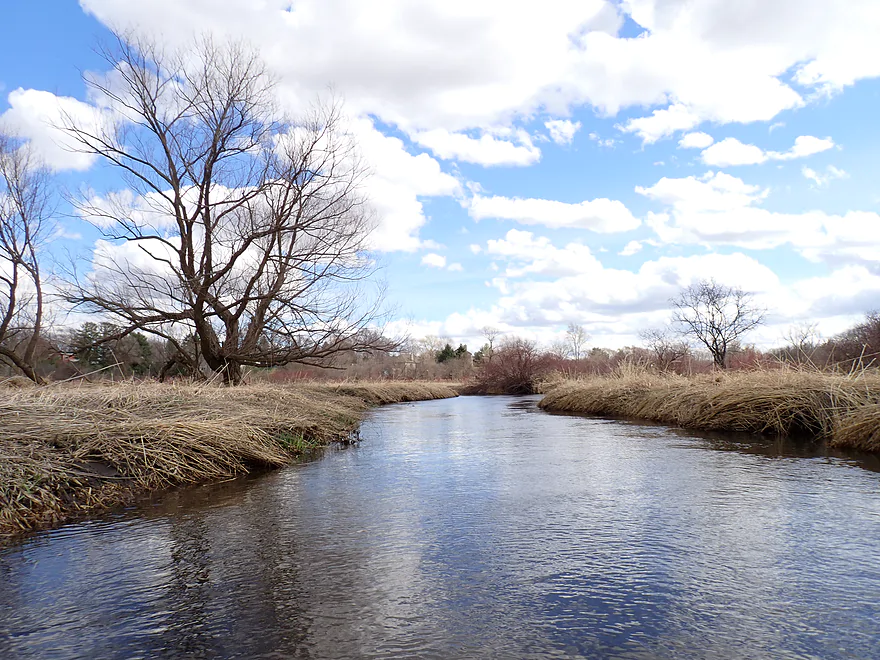
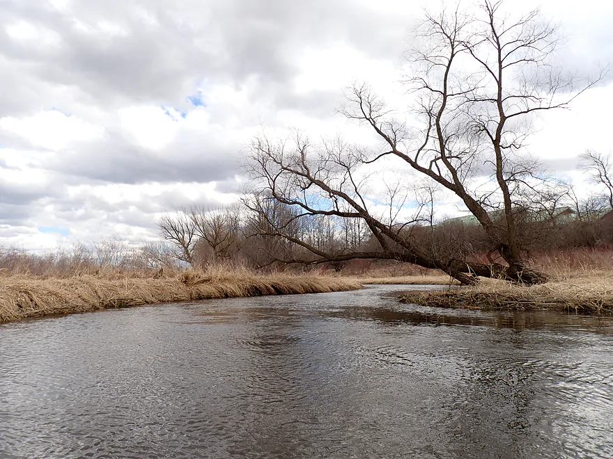
From Pebble Creek Park/Sunset Drive to the mouth, the creek was actually surprisingly nice and scenic. Here there was more wetgrass marsh, but it was more attractive and varied with some cattails and red osier dogwoods. There were even a few fun light rapids, with the most significant being under Genessee Road. I almost classified this as a Class 2, but to be honest it was more of a Class 1+…pretty fun regardless.
Despite the logjams, I was actually a bit disappointed to reach the end of the creek at its mouth on the Illinois Fox River (cool photo of the confluence). From here it was a short paddle on the Fox to reach my take-out by Hwy 18. What’s funny is this kayak/canoe landing was semi-closed because a local construction company was using it as a parking lot for their equipment and a spot to put their dumpster. This was very similar to the situation I had on Door Creek…guess construction companies don’t really have high regard for kayak landings.
In summary, this isn’t a trip I can recommend. The first half wasn’t very exciting, and had too many logjams. I had hoped for a creek with clear water (dashed by the recent rain) and pebbles, which if there were any, were mostly buried by sand and mud. The second half of the trip though was quite nice. Sunset Drive is a busy road, but in theory a paddler could start here to avoid the jams and then simply extend a trip further downstream on the Illinois Fox to pad the mileage. Maybe one day Waukesha locals will clear out the logjams which would make this a nice little water trail.
I didn’t see much…just four ducks and two humans.
Retzer Nature Center: This is an attractive nature center located nearby. It has a cool boardwalk trail.
Glacial Drumlin State Trail: This is an impressive bike trail that connects Milwaukee to Madison. Well almost…Dane County is working on connecting that last missing segment between Cottage Grove and Madison.
Merill Hills Road: The Waukesha bypass severed the old road resulting in a dead-end turnaround. While closed to cars, the bridge still exists and is IMO a suitable access. However there are No Trespassing signs on the northeast shore. You can still park on the road (people often do), and then drag your boat across the bridge and launch from the southwest corner almost under Hwy 18 which should be public. This is actually a popular area with the public, as people park on the cul-de-sac and then use the bridge to access the nearby Glacial Drumlin State Trail.
All that said…there are logjams downstream from here, so Sunset Drive is likely a better put-in.
Alternate Put-ins:
- W. Sunset Drive (1.4 miles downstream from Merill Hills Road): This is not an ideal bridge access as it is on a busy road and there is a long guardrail to deal with. But IMO it should be doable. Launching here avoids all logjams, but would make for a shorter trip. Extending the trip further downstream on the Illinois Fox River would be recommended.
Fox River Park – North Boat Launch (just north of the Hwy 18 bridge): This is a very good public landing for canoes and kayaks. Note in early 2024, a construction company is using the access as a parking lot for its equipment and dumpster, which is inconvenient but you should be able to still use the landing.
Alternate Take-outs:
- Fox River Park – South Boat Launch (1.7 miles downstream from the North Launch): This would include a generic add-on leg on the Illinois Fox River to provide for a longer trip. The South Launch is a good access.
- River Road 2nd Bridge (7.0 miles downstream from the North Launch): This would include a much longer add-on stretch on the Illinois Fox which is solid, but not spectacular. More info here.
Bike Shuttle – Fox Park North Launch to Merill Hills Road: 3.1 miles with 33′ of ascent. Aside from one busy intersection to cross, this is a great bike shuttle mostly along paved bike trails.
Fences/dams: None.
Current/Rapids: The current generally is slow, but does pick up speed through a short stretch of woods. There are several riffles and a few Class 1 rapids. The most significant is directly under Genesee Road (Class 1+) and is a lot of fun.
Logjams: There are many logjams on this trip. By my count, there was one just upstream of the Glacial Drumlin State Trail and six just downstream from it (through a short stretch of evil muddy woods. If you launch from W. Sunset Drive you can avoid all these jams. All the logjams are marked on the trip map.
Closest Gauge: Fox River @ Waukesha
Trip Depth: 299 CFS or 4.07′ (very high depth)
Navigability Estimates:
- < 2.7′: I doubt the river ever gets this low.
- 2.8-2.9′: Low depth. Maybe a bit bumpy. Good clarity.
- 2.9-3.3′: Average depth.
- 3.4-3.6′: Above average depth but still should be navigable.
- 3.7’+: A high depth. The creek will be navigable, but clarity will be impaired and the banks will be muddy.
Click here for a Pebble Creek Overview Map.
- Upstream from Merrill Hills Road: While there are some bridges that cross the creek and could be good access points, they appear to be private and not accessible to the public. Even further upstream, Pebble Creek is joined by Brandy Book. At that point neither branch looks viable for kayaking.
- Merrill Hills Rd to Fox River Park North Launch: 3.0 miles.
- Merrill Hills Rd to W. Sunset Drive: 1.4 miles. This stretch has some nice parts and passes under the Glacial Drumlin State Trail. But there are a lot of logjams (7 total). Most are located just downstream from the Glacial Drumlin State Trail in a short (and evil) stretch of woods.
- W. Sunset Drive to Mouth on Fox River: 1.3 miles. Surprisingly nice and flows mostly through open and attractive marsh. There are fun rapids directly under Genessee Road.
- Mouth on Fox River to Fox River Park North Launch: 0.3 miles. Short paddle on the Fox River to reach a take-out.
- Fox River Park North Launch to Fox River Park South Launch: 1.7 miles. An open and mediocre stretch of the Fox River that could be an add-on leg.
- Fox River Park South Launch to River Road 2nd Bridge: 5.3 miles. Slow current and generic scenery make this a mediocre trip…but water clarity is good and the second half of the trip is pleasant.
Trip Map
Overview Map
Video
Photos Size: