
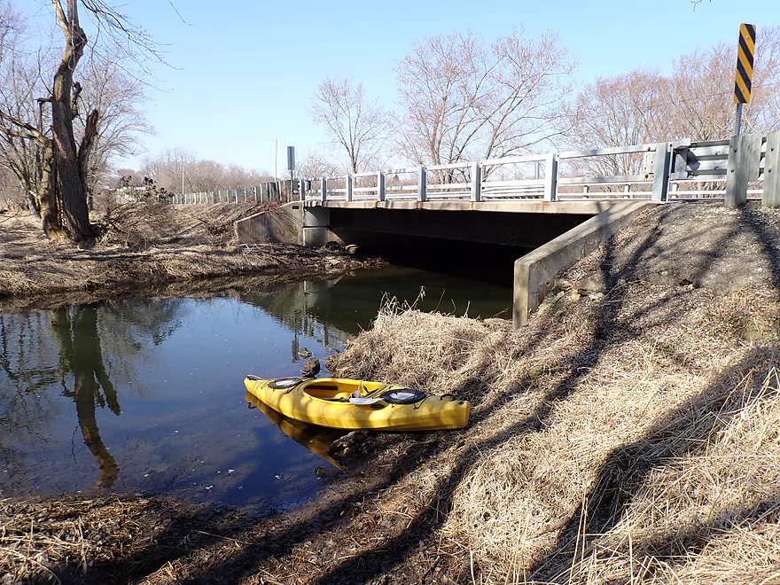
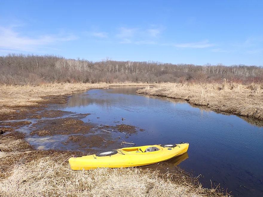
Starting the trip at Cty Road ES
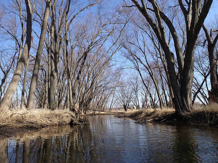
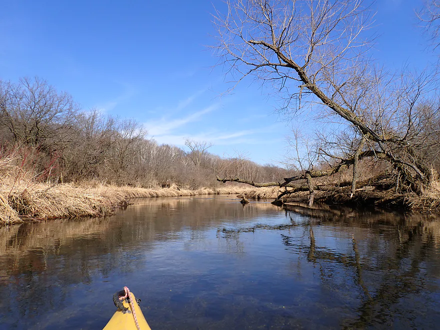
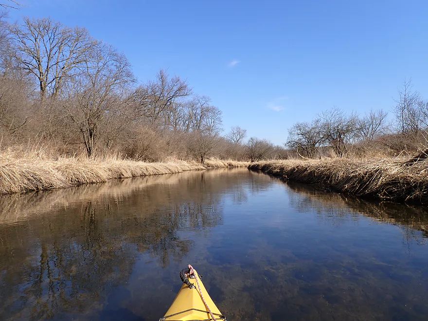
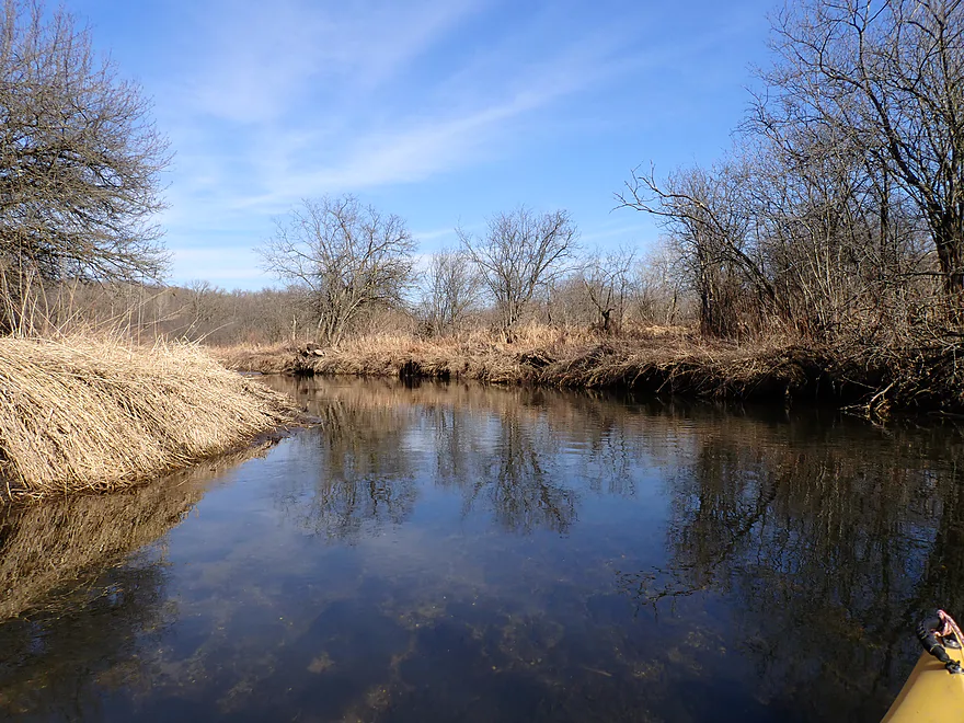
Paddling through a nice mini woods
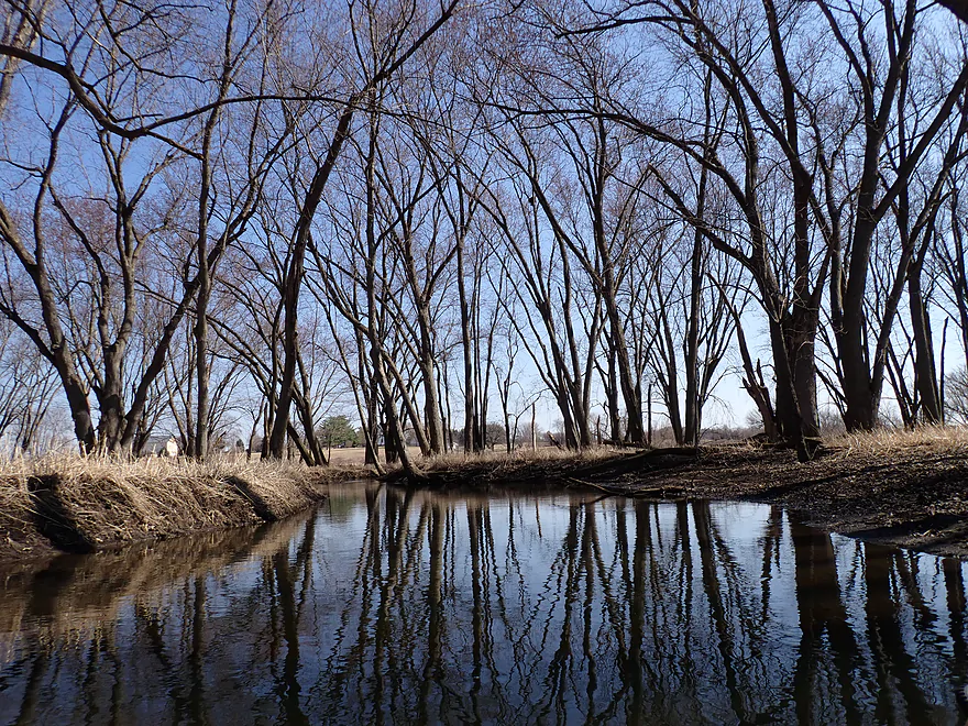
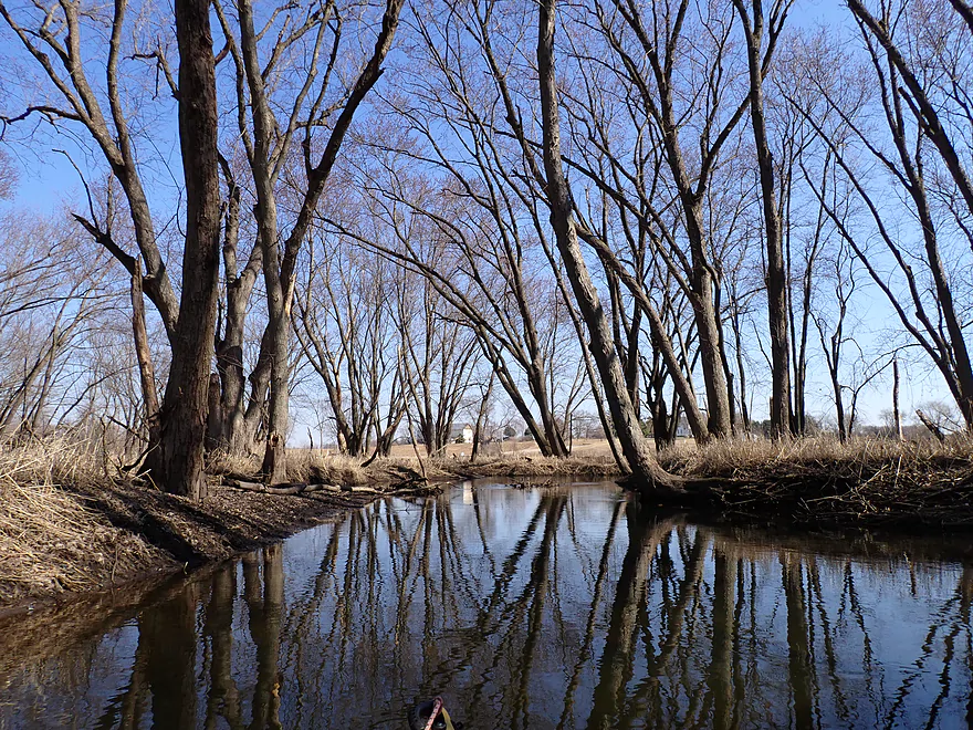
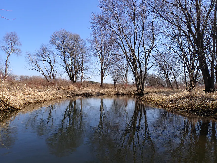
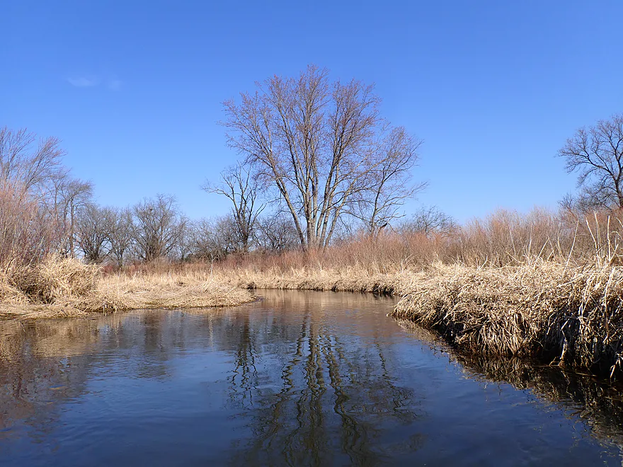
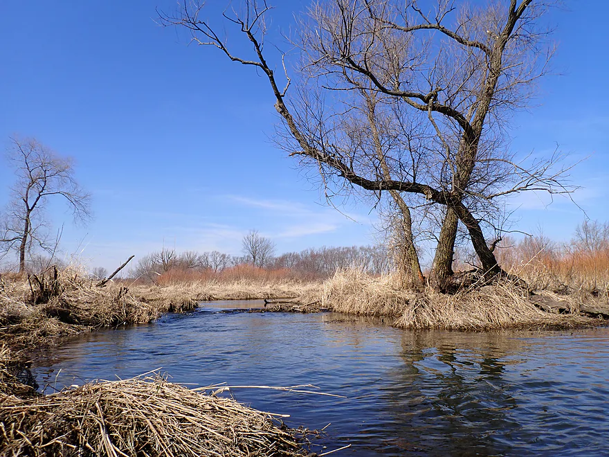
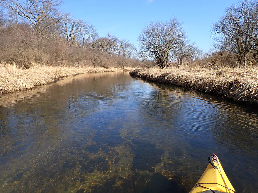
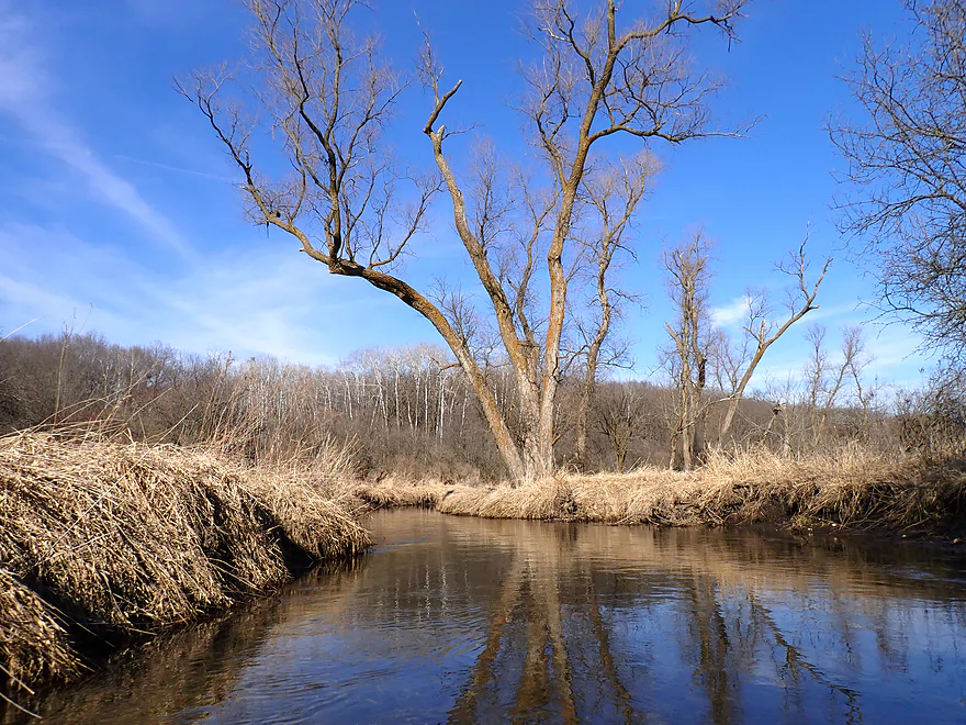
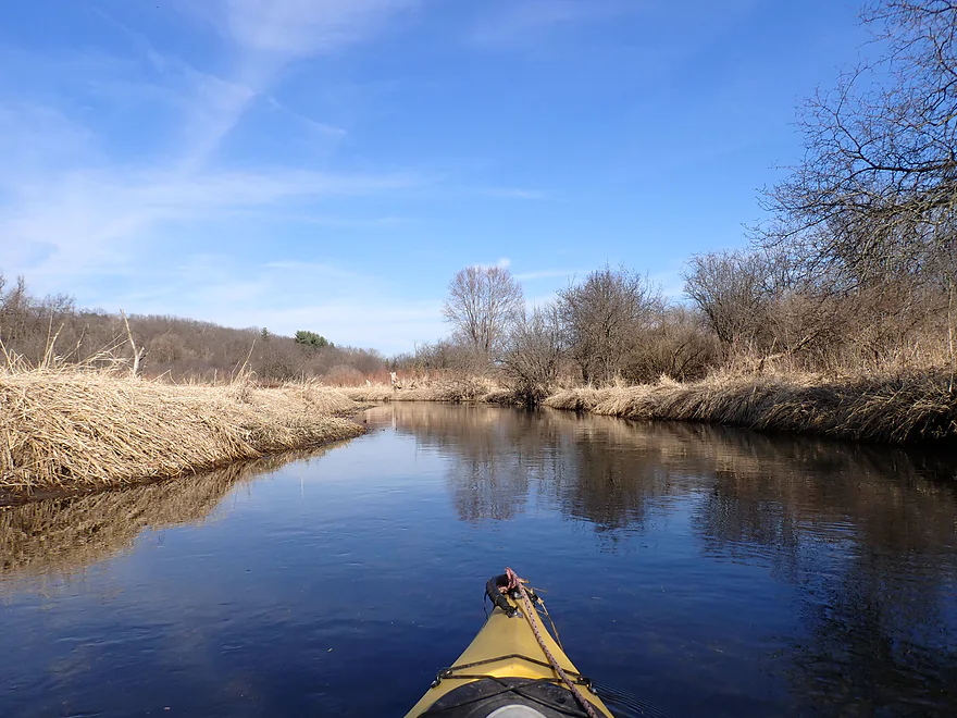
Attractive tree reflections
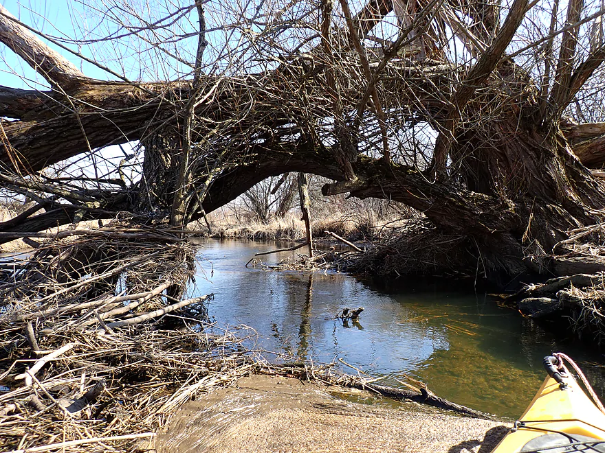
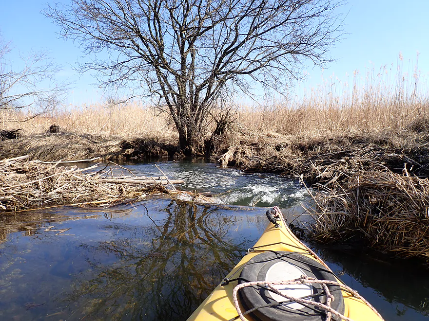
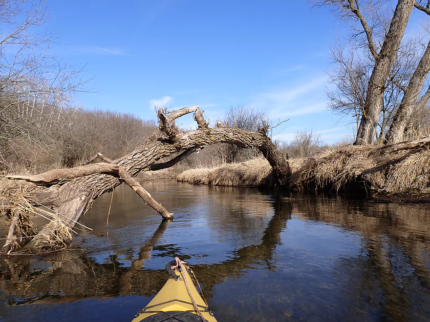
Only logjam portage of the trip
Pretty easy
Decent clarity…lot of small and dead snail shells
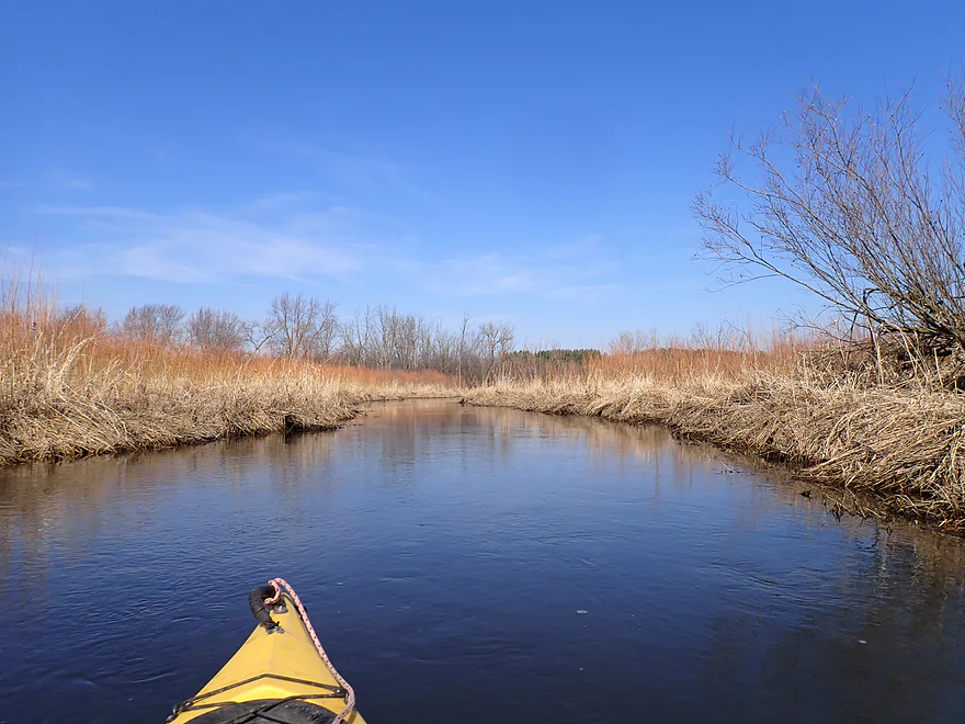
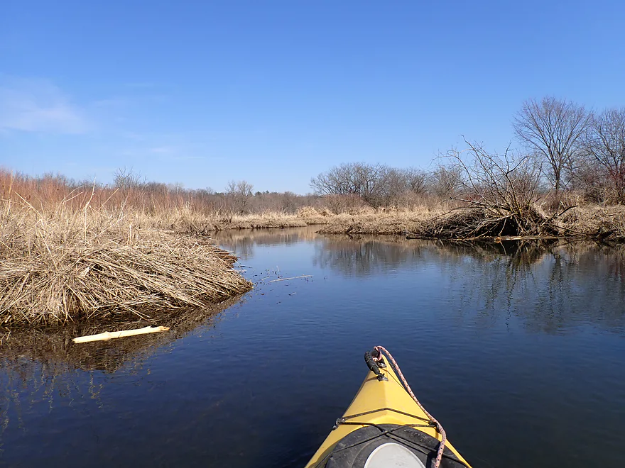
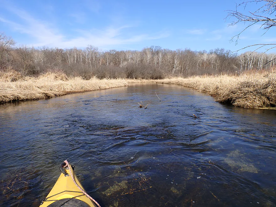
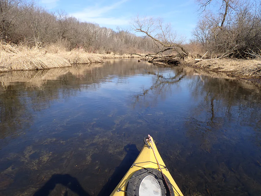
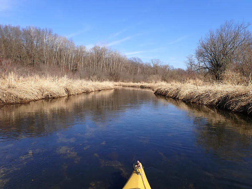
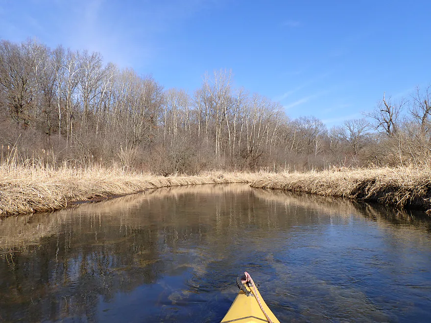
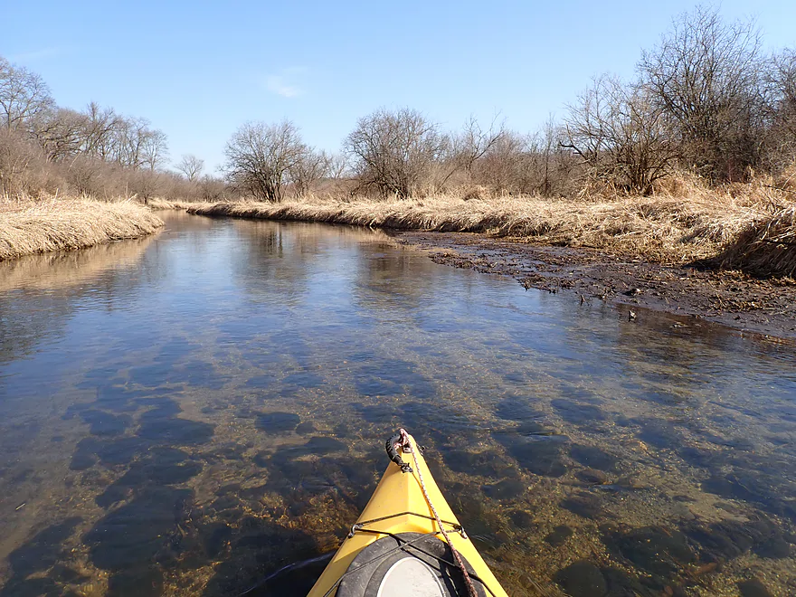
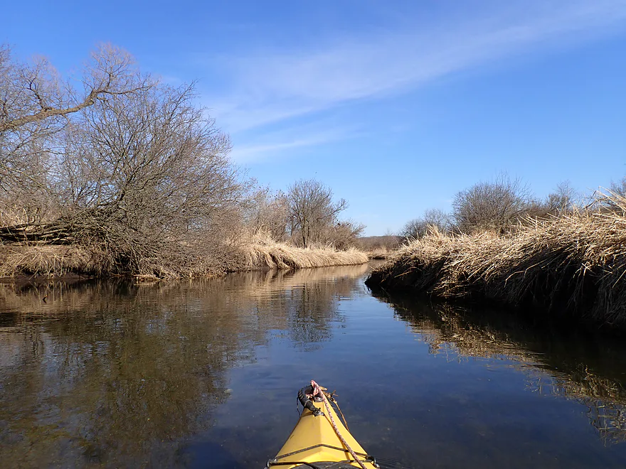
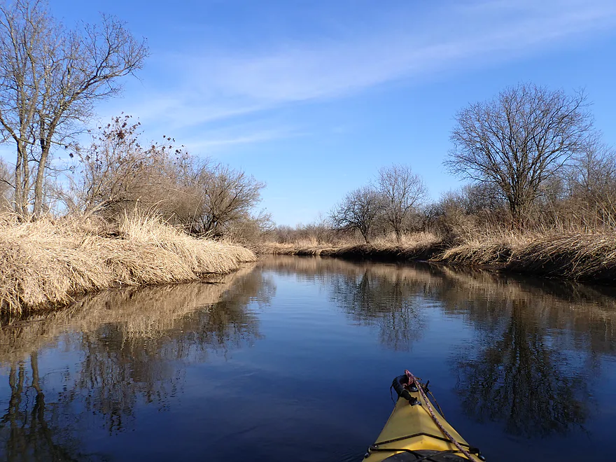
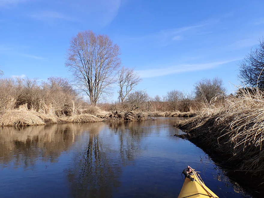
Creek opens up as we leave the woods behind
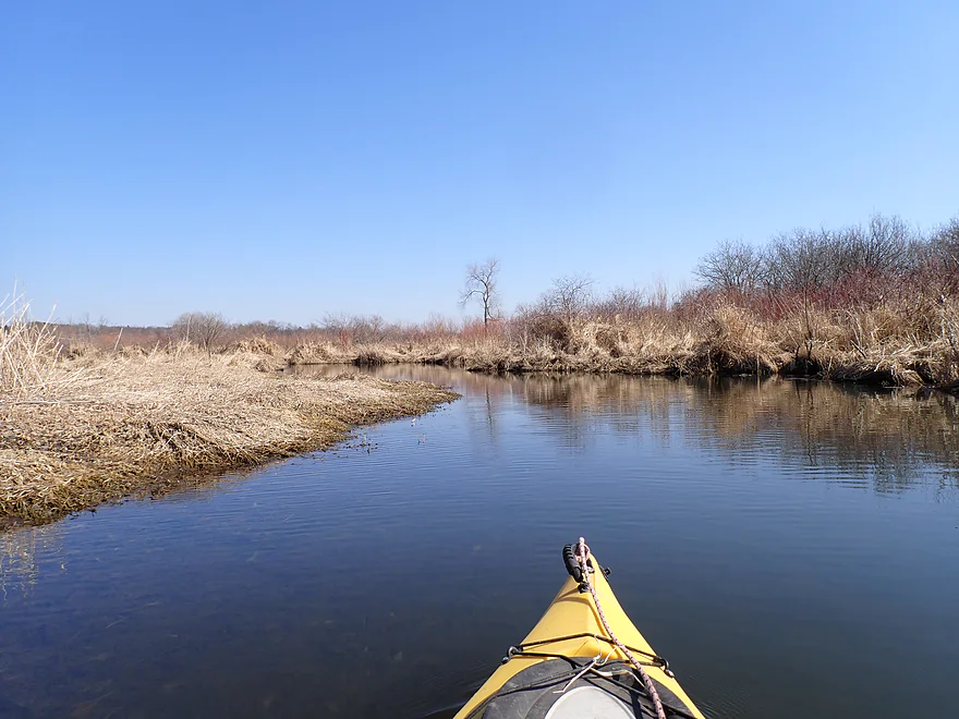
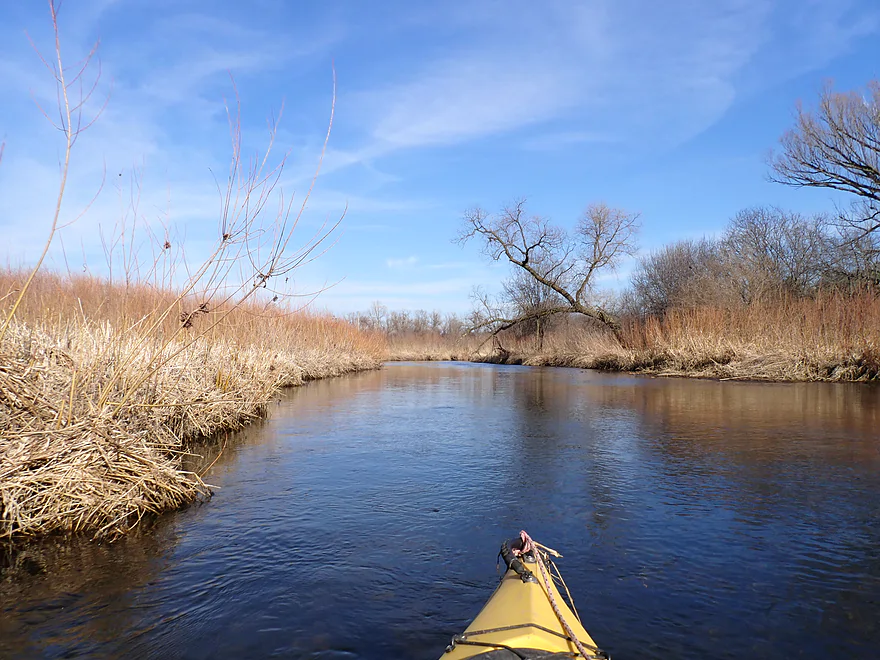
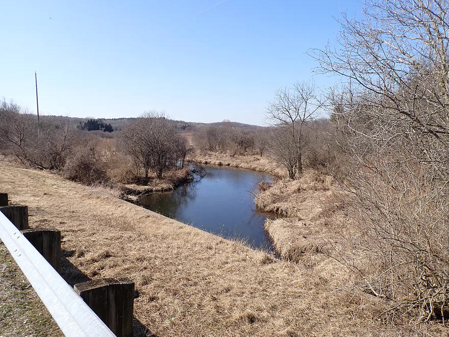
A flat, open wetgrass marsh
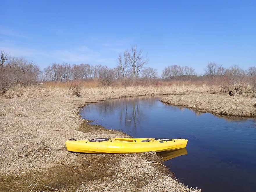
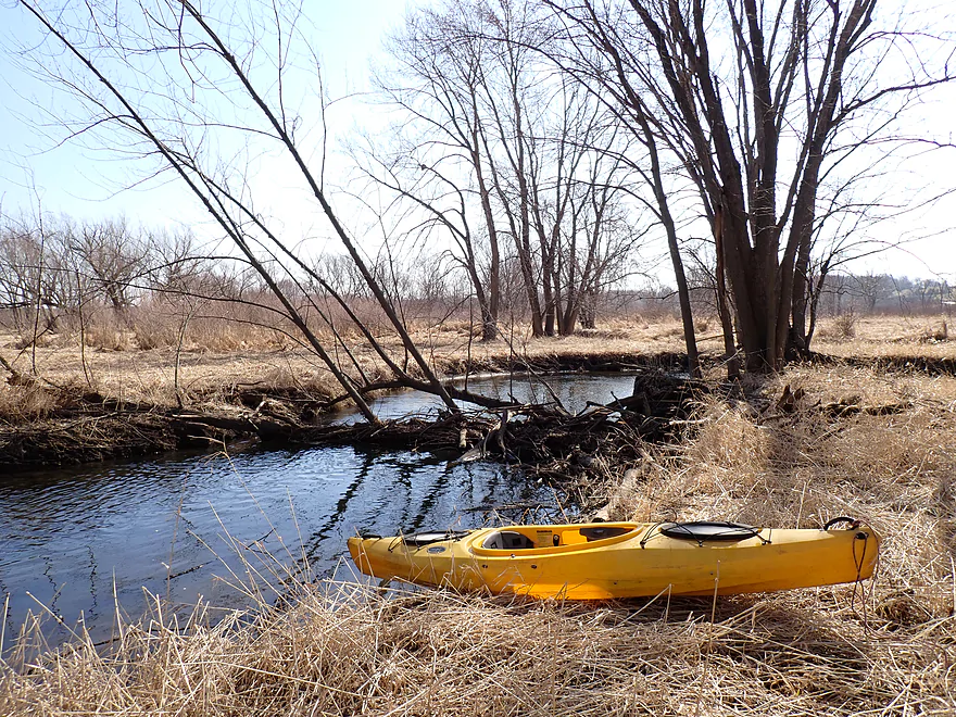
Getting out for pictures
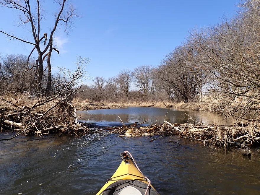
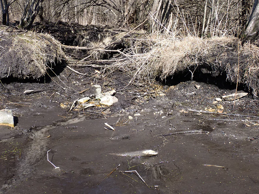
One of four destroyed beaver dams I encountered on this trip
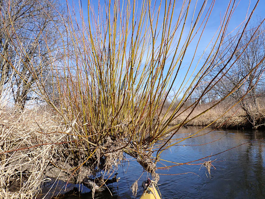
I believe that is dogwood growing on the banks
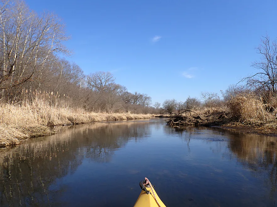
Somebody has done logjam cleanup work on this creek
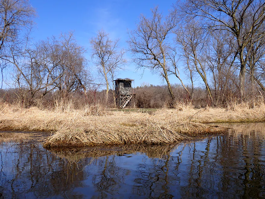
Hunting blind
Another beaver dam in rough shape
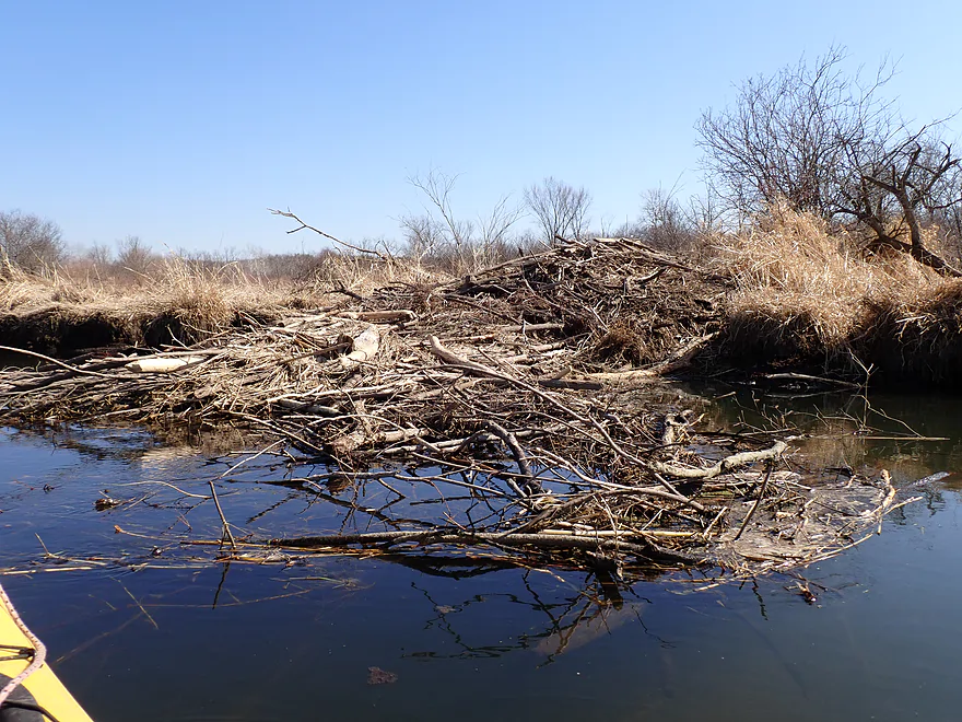
A massive beaver lodge
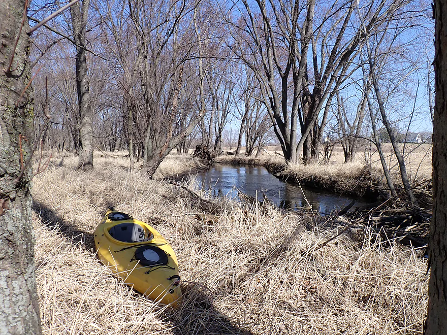
Getting out for more photos
Partial beaver dam creates a fun chute
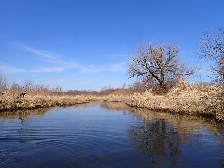
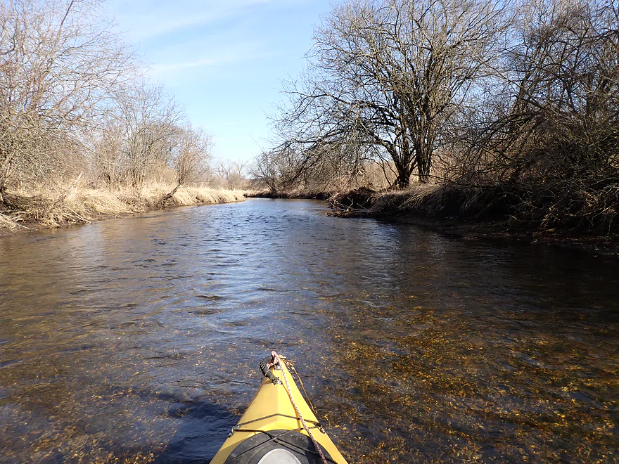
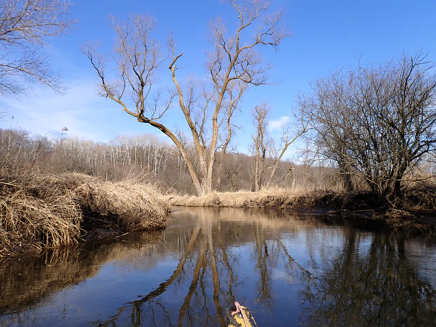
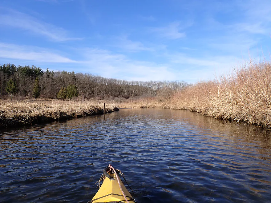
Paddling toward a long terminal moraine
A cool grove of aspen
One of several small seeps feeding the creek from the moraine
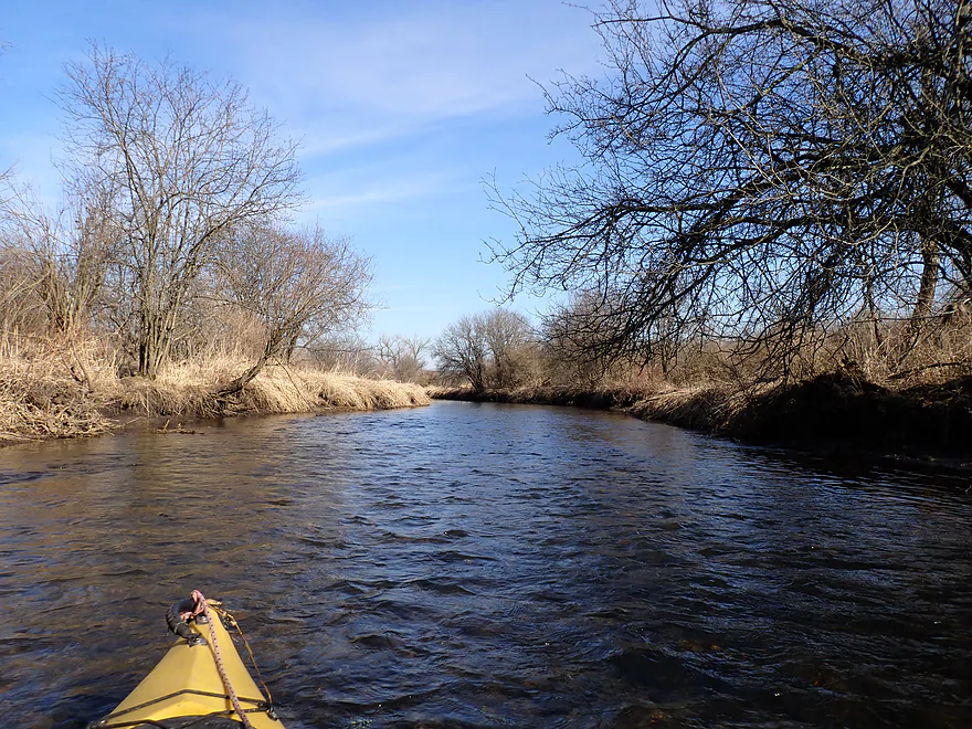
Paralleling the moraine

Starting to see some glacial boulders
Terrific stretch
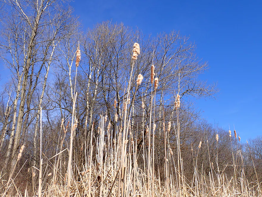
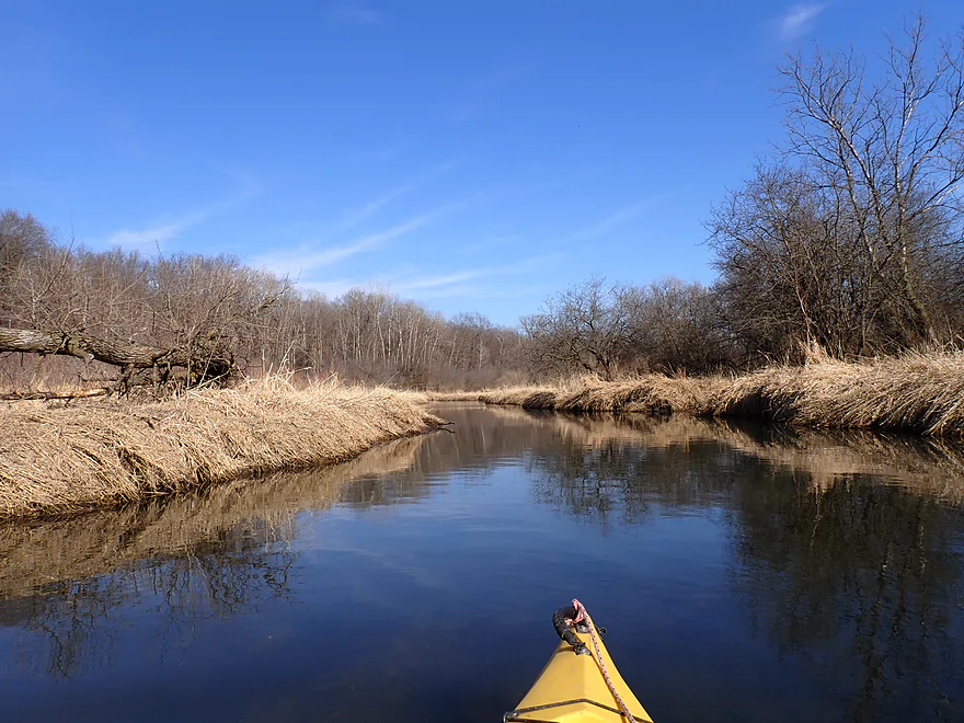
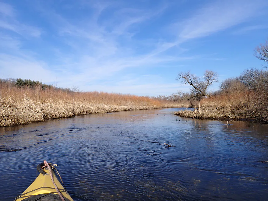
Starting to see more cattails
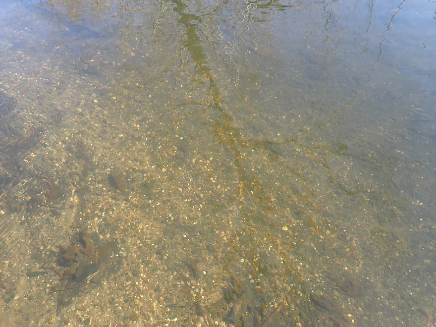
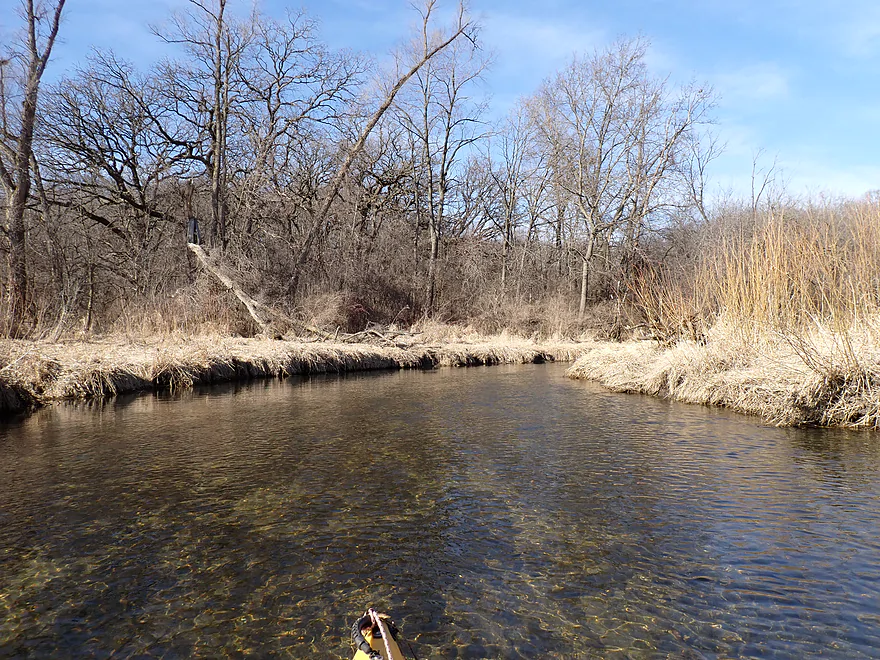
Clarity at times was excellent
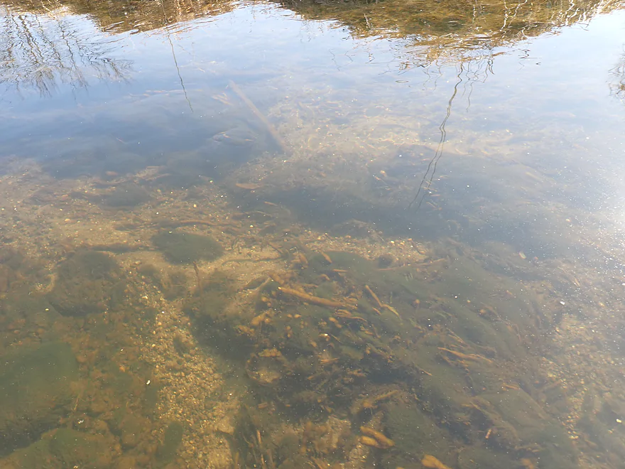
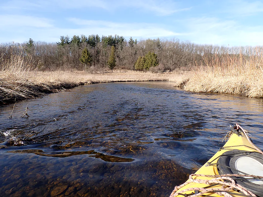
Substrate had a lot of fine glacial gravel
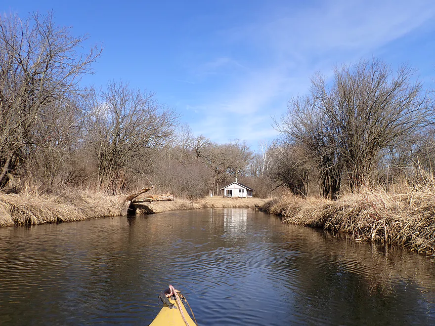
Cabin in the middle of nowhere
One of only a few riffles going over a stretch of gravel
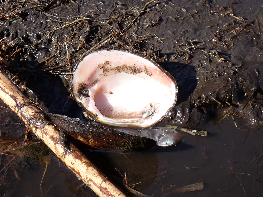
Saw several clamshells, but no live ones (something is killing Wisconsin clams)
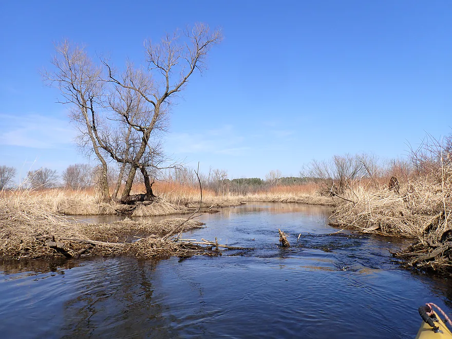
A trio of cottonwood trunks
An easy ducker
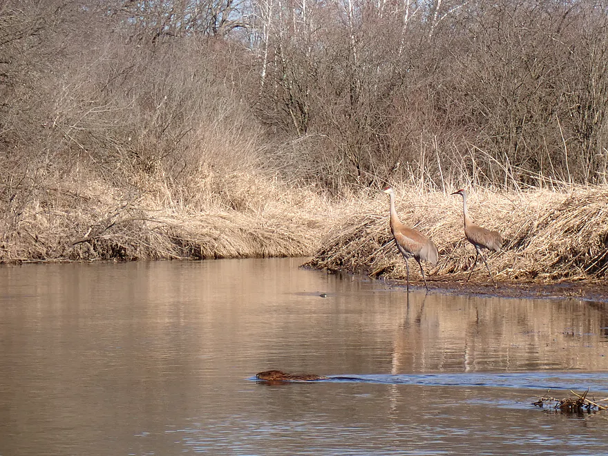
A beaver photobombing my crane picture
More sapling-lined banks
A clump of boxelder sprouts
Still following the moraine
Pine trees are part of the Price Park Conservancy
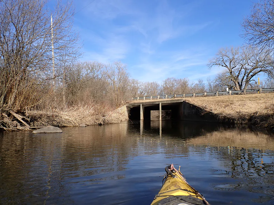
Hodunk Road
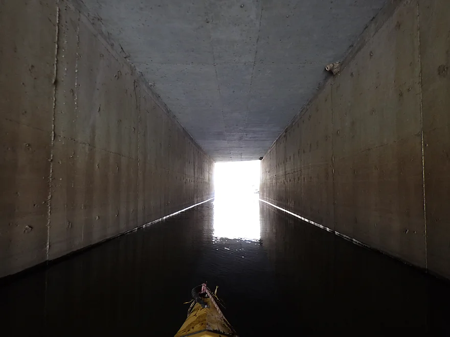
Checking out the tunnel
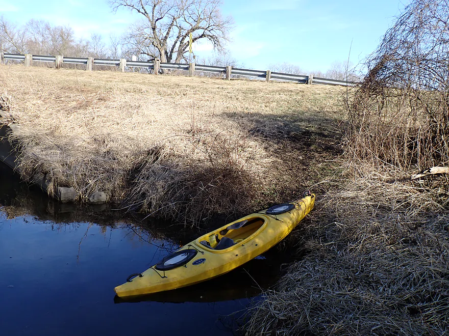
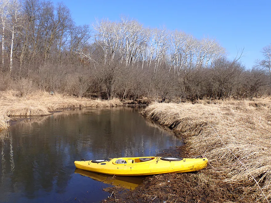
Could have gone further, but decided to the end the trip here
Bit of a bank, but otherwise an easy take-out
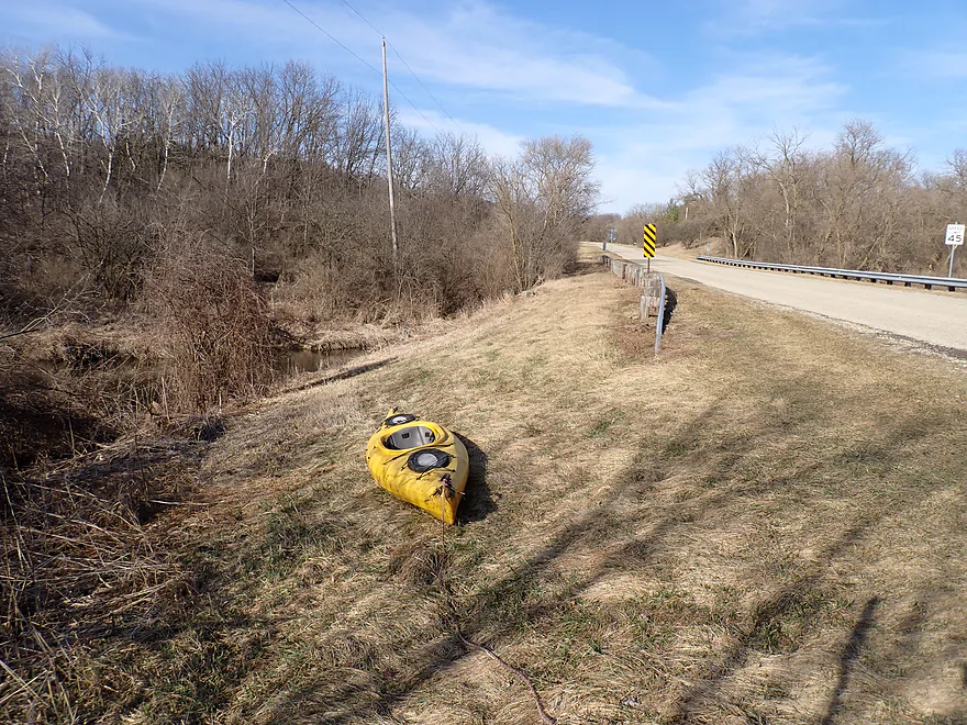
View of the creek from atop Hodunk Road
Sugar Creek

Sugar Creek is located in “Kettle Moraine Country” between Whitewater and Lake Geneva. It’s a somewhat obscure tributary to Honey Creek which itself is an obscure tributary to the Illinois Fox River. Despite not being well known, it is viable for paddling, but you have to pick the right legs (those without logjams). For this trip I did what I believe is its best stretch: County Road ES to Hodunk Road.
The trip got off to a nice start with the first quarter mile curving sharply through a cute woods. Similar to the lower Maunesha, the trees here grow remarkably close to the water. At times it’s as if the creek is twisting its way through the woods like an obstacle course. The reflections of the trees in the water was really cool as well. The only downside was a logjam that had to be portaged, but this was very easy because of the shallow banks.
The next two miles flowed through an open and extremely twisty marsh. The current was painfully slow and the scenery while ok with expansive vistas of the marsh valley, was a bit repetitive. The water was relatively clean, but there was some algae growth (perhaps coming from the upstream golf course) and the banks were a bit mucky. In summer the grasses likely grow tall and fence in the creek making it a much less interesting paddle. At this point the trip was at “three stars”.
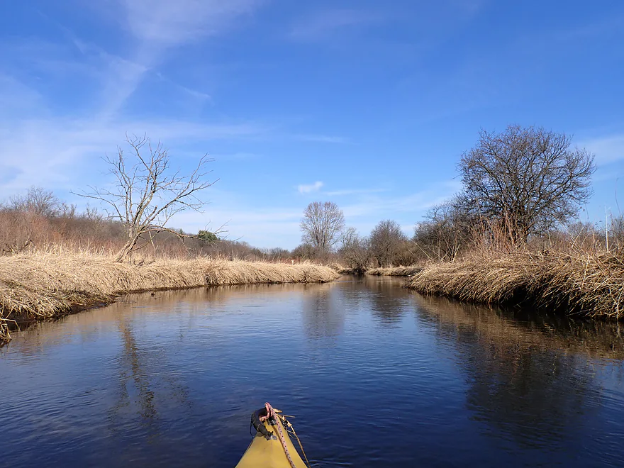
Things changed though for the second half of the trip which turned out fantastic. Here the creek flowed east and paralleled a long east-west terminal moraine. The south-facing hills were scenic with attractive groves of aspen that looked like white skeletons. At the base of the moraine were several small seeps and springs that contributed to a now larger and straighter Sugar Creek. Water clarity improved, as did the substrate which lost a lot of the mud. Glacial pebbles and rocks became a common sight. This would push the trip rating up to “four stars”.
I ended the day at Hodunk Road which was a good bridge access. In hindsight I likely could have continued another two+ miles to Bowers Road. Oh well…maybe another day.
In summary this was a water trail that started a wee bit boring and marshy, but ended on a great note with the terrific moraine, great water clarity, and glacial gravel. If you’re new to paddling “Kettle Moraine Country” though, you may want to start with the other area water trails which just happen to be elite (eg the Bark, Turtle, Little Turtle, White, Honey or Mukwanago). That being said, this is still a great water trail well worth putting on your to-do list if you live in the area.
Sights included thousands of minnows, dead clams (live clams are a rare site nowadays), cranes, loud turkeys, deer, a redtail and countless small snail shells. The highlight of the trip was the beavers. I saw roughly 5-6 during my trip, four partly destroyed dams, and two large beaver lodges. If you want to see beavers on a kayaking trip, this would be a great water trail to choose.
Price Park Conservancy: This is located by the take-out and is mostly used by the locals as a dog park. But it does have a nice trail system that goes atop the terminal moraine. Here are some nice pictures.
County Road ES: This is a busy road, but otherwise it’s a very good bridge access. There is a public conservancy parking lot to the east where you can leave your car if you prefer.
Alternate Put-ins:
- Hodges Road (1.8 miles upstream from County Road ES): This should be a viable bridge access…just don’t park in the neighbor’s lawn. This upstream leg looks marshy and navigable. It may have a few logjams though.
Hodunk Road: The shoulder is a bit steep here, but this is otherwise a good bridge access. The best take-out location will be southwest/upstream of the bridge.
Alternate Take-outs:
- Bowers Road (2.5 miles downstream from Hodunk Road): I believe this is a doable access. But note the most attractive corner/bank for getting out (the southwest corner) has a No Trespassing sign. I think you can alternatively get out by the north side, but this is a bit more weedy.
Bike Shuttle – Bowers Road to Hodunk Road: 4.0 miles with 164′ of ascent. The shuttle starts with a long hill and then continues with a series of smaller hills. All in all a pretty viable bike route.
Current: The first half of the trip had very little. The current picks up for the second half but stays relatively slow.
Rapids: None. But there were a few riffles created by partly destroyed beaver dams. These were pretty easy.
Logjams: There was one logjam that had to be portaged close to the put-in (County Road ES) which was pretty easy. There were no other major logjams, but there were a few other minor squeakers close to the put-in. There was evidence that somebody had partly chainsawed out previous logjams years ago.
Closest Gauge: Jackson Creek @ Elkhorn
My Trip Depth: 9 CFS or 8.53”
Gauge Guide: This creek is pretty flexible and can be paddled both when it is high and low.
- 8.2-8.3.’: Pretty low. Still should be mostly navigable.
- 8.4′: Low depth…plenty navigable.
- 8.5′: Average depth.
- 8.6-8.8′: Above average depth.
- 8.9-9.1′: High depth but navigable. Creek may start to lose some clarity and character at these levels.
- 9.2-9.3′: Very high depth.
- 9.4’+: Maybe flood depth. You could probably still paddle it at these levels though.
Click here for a Sugar Creek Overview Map.
- Hwy 12 to Hodges Rd: 0.5 miles. Maybe 5-6 logjams on this stretch.
- Hodges Rd to Cty Rd ES: 1.8 miles. Maybe 2-3 logjams. A possible prospect.
- Cty Rd ES to Hodunk Rd: 4.9 miles. Maybe the best leg on the creek. It starts open and marshy, but ends with some nice terminal moraine scenery.
- Hodunk Rd to Bowers Rd: 2.5 miles. A more wooded stretch and a good prospect. Maybe 1 logjam. Bowers Rd is a bit tricky as a take-out because of a No Trespassing sign (should be able to just use the other shoulder).
- Bowers Rd to Hwy 120: 3.2 miles. Satellite images show countless logjams. Not recommended.
- Hwy 120 to Hargraves Rd: 3.1 miles. Likely many logjams…not recommended.
- Hargraves Rd to Potter Drive: 4.1 miles. Likely multiple logjams…not recommended.
- Potter Drive to Hwy DD/Honey Lake/Honey Creek: 2.1 miles. A good prospect. Maybe 2 logjams, but rocky in spots with riffles. Liked by paddling author Rick Kark.
Trip Map
Overview Map
Video
Photos Size: