
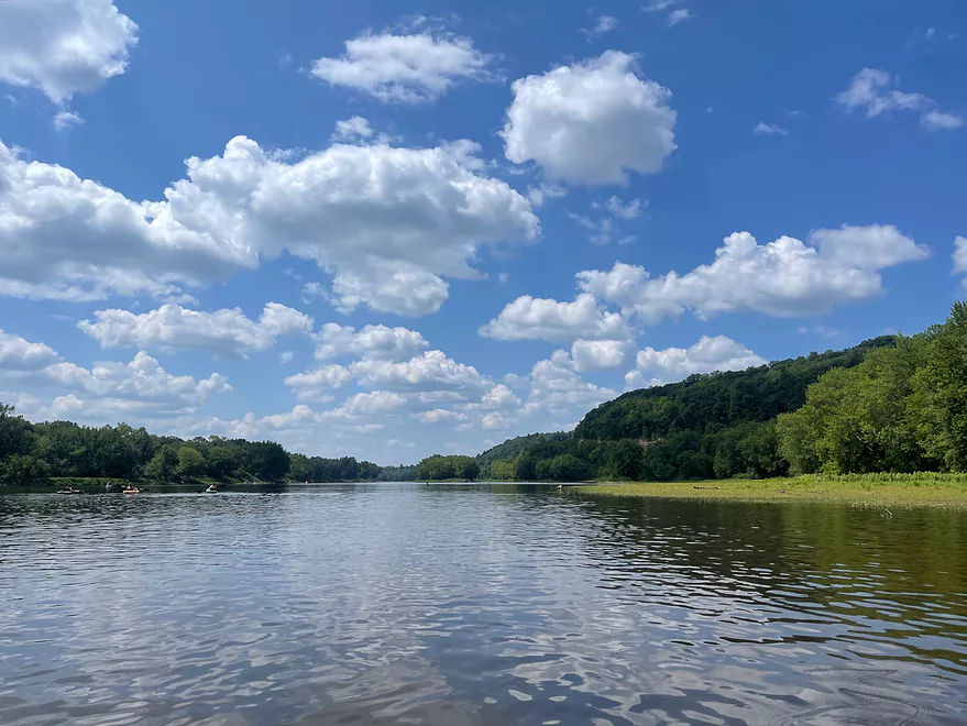
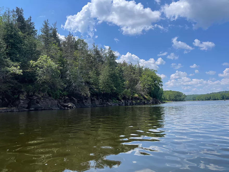
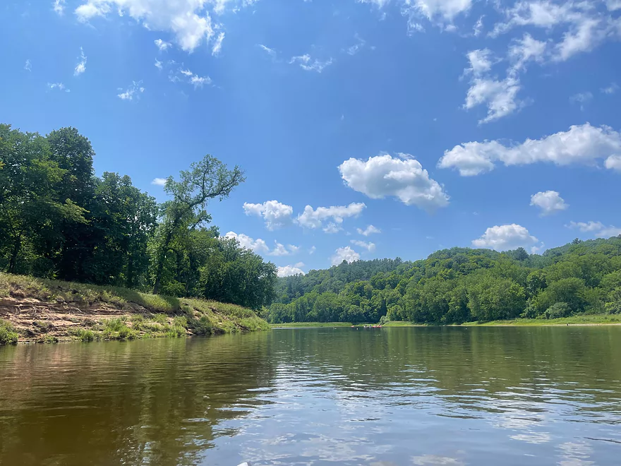
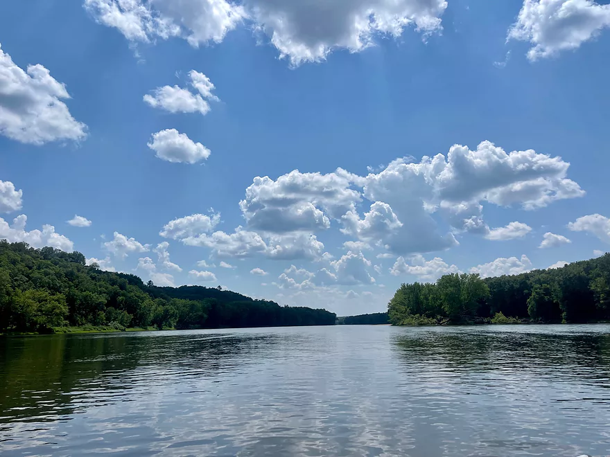
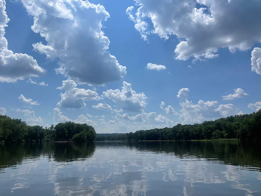
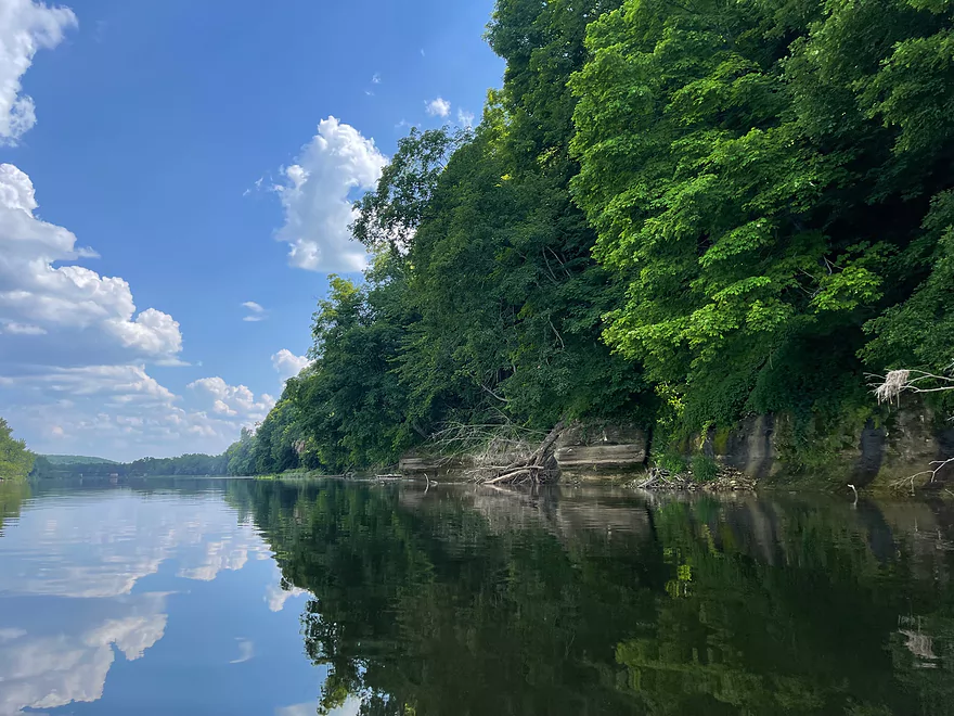
First view after put-in at Interstate State Park (MN side)
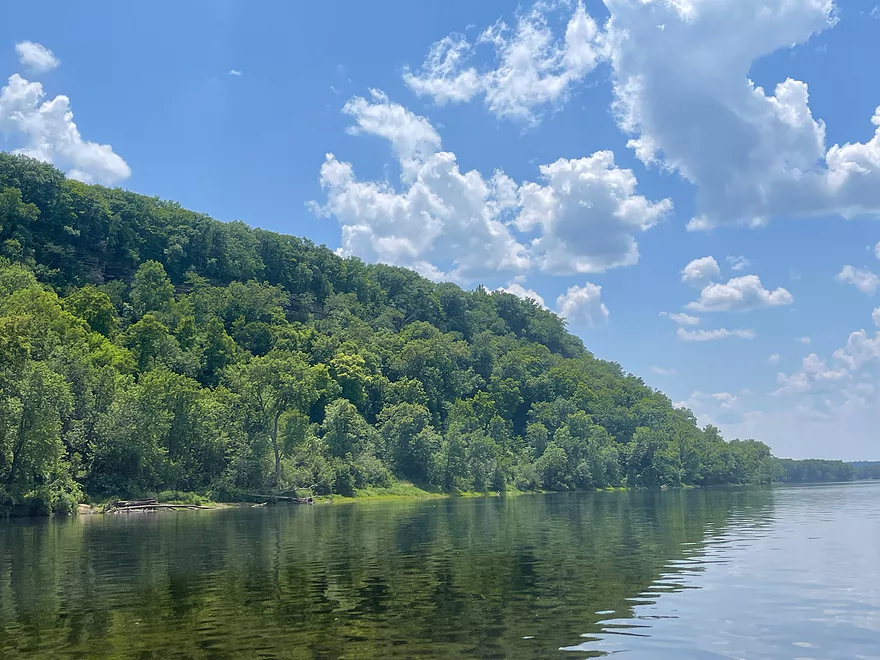
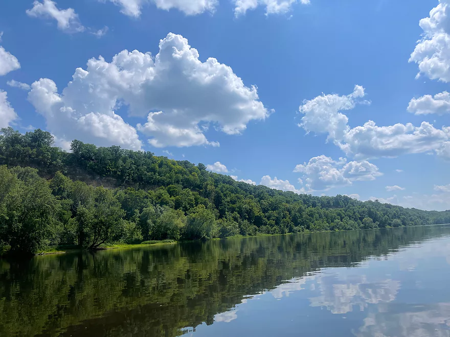
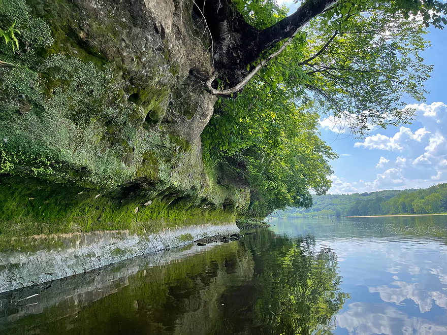
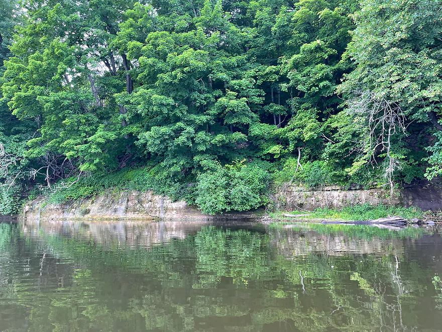
Bluff on Minnesota side
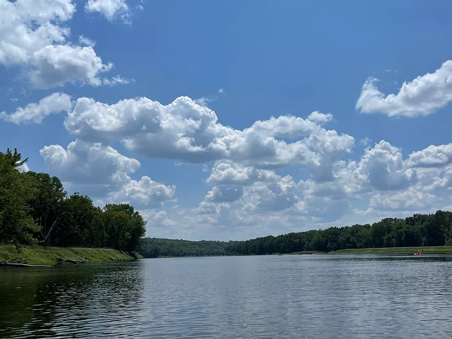
Folsom Island is to the left
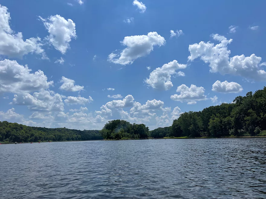
Approaching Rock Island
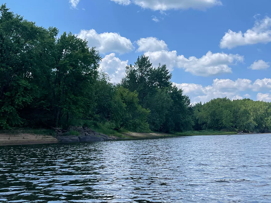
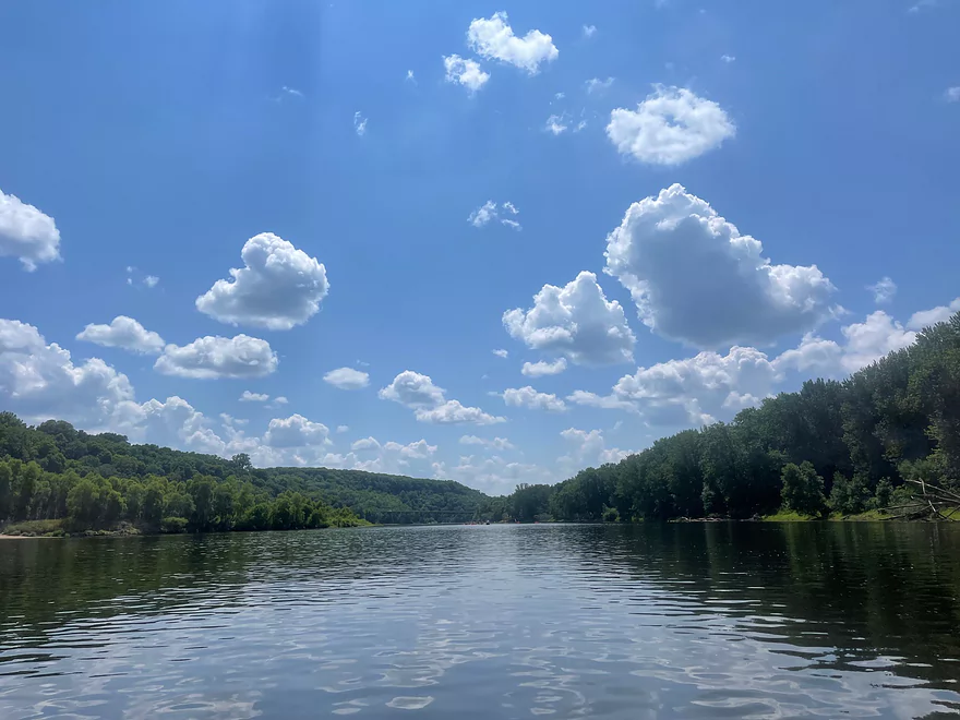
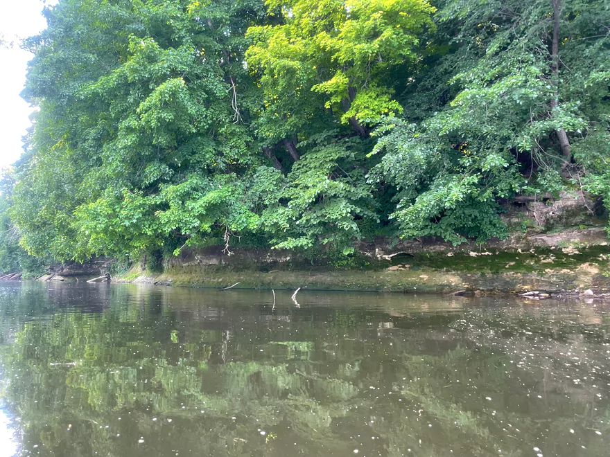
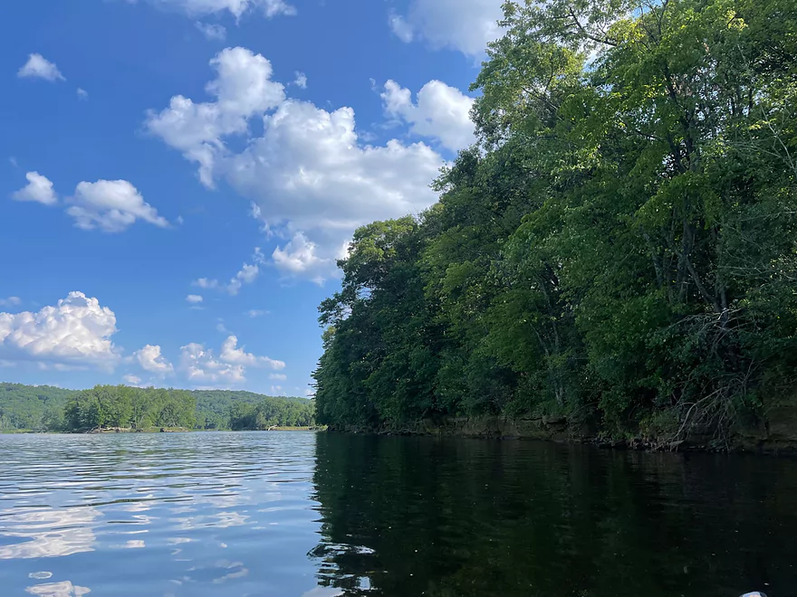
Minnesota shore
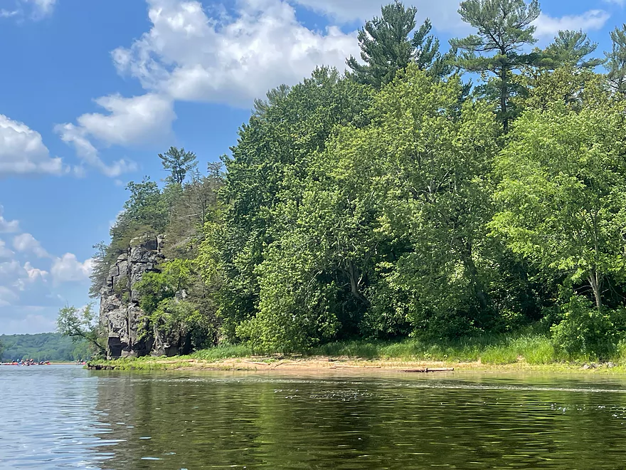
Rock Island
Rock Island to the left and Minnesota shore to the right. A very popular beach is behind the rocks.
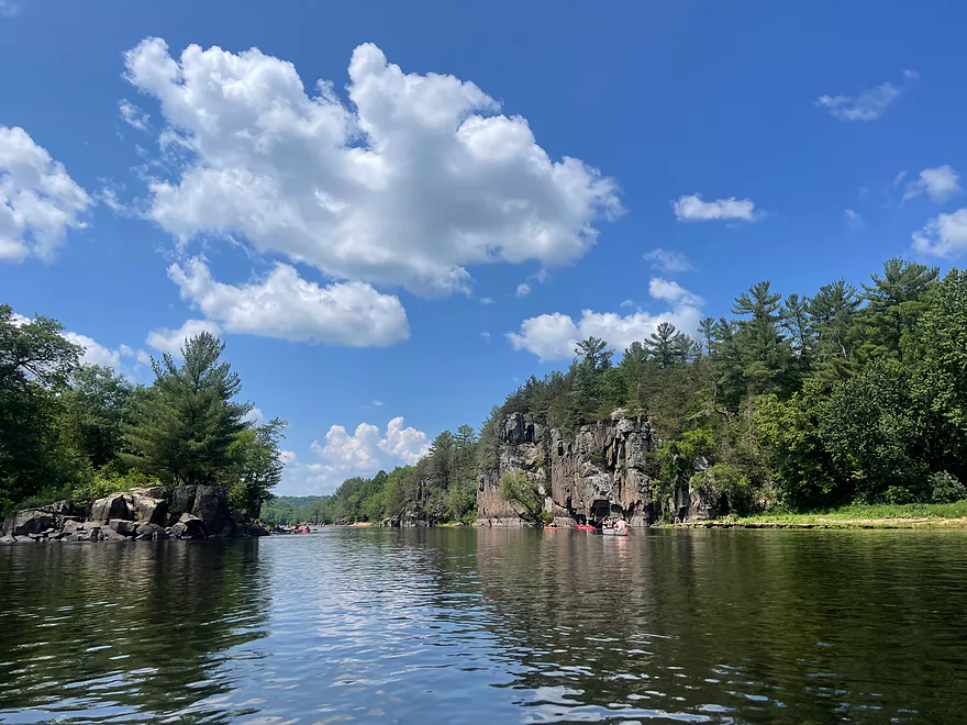
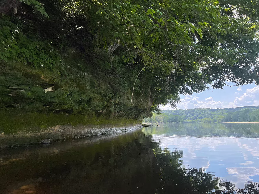
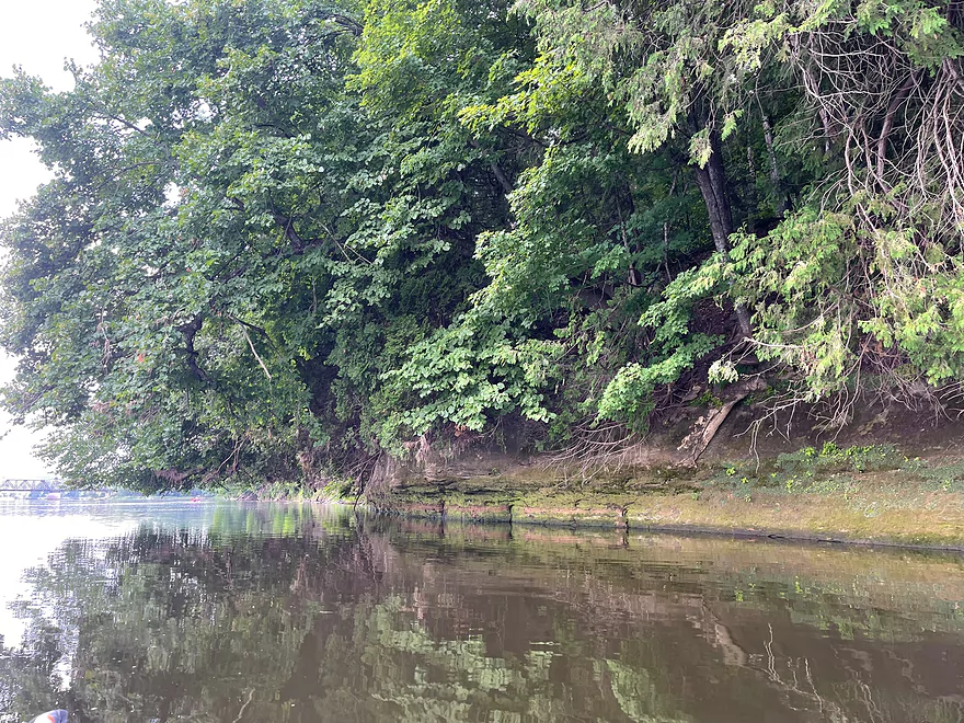
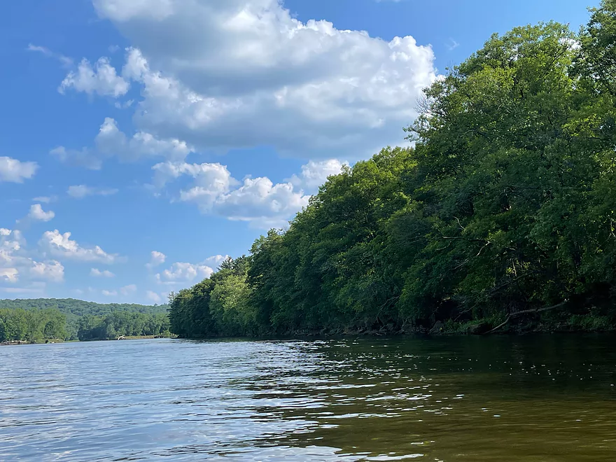
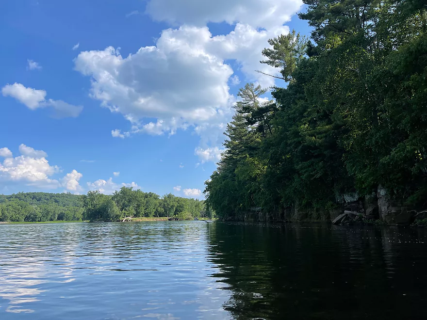
Wisconsin shore
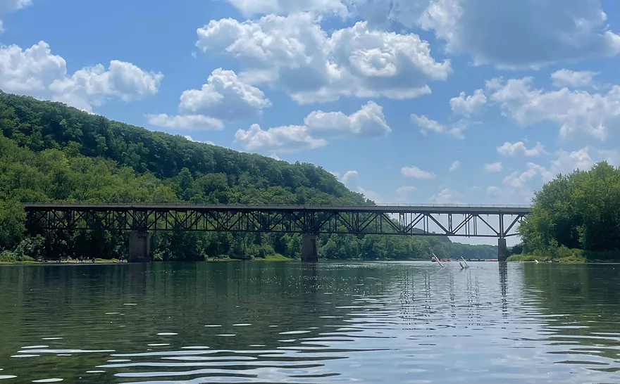
Hwy 243 Bridge
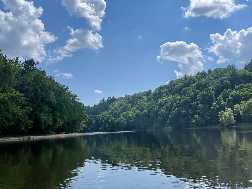
High bluffs in Osceola
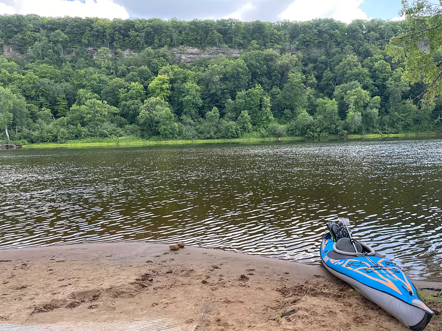
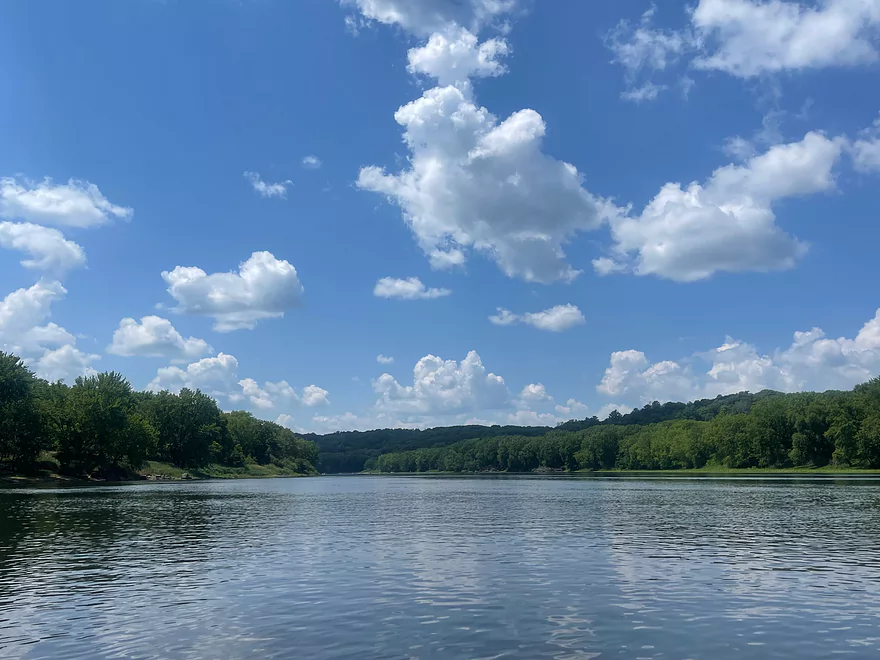
Taking a break at Osceola Landing. View facing Wisconsin Shore
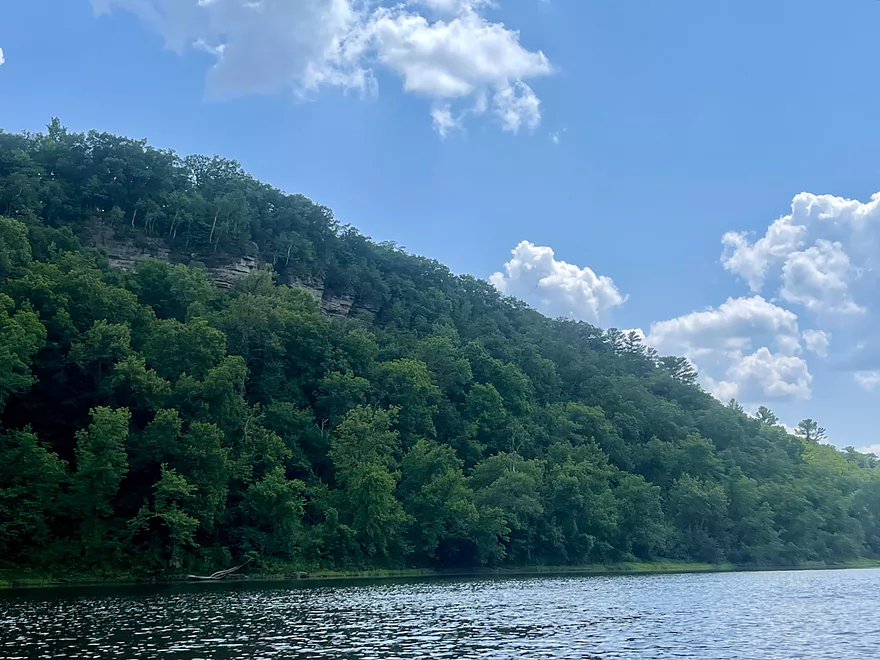
More bluffs (WI side)
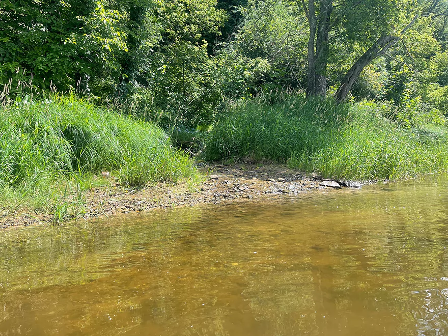
Clear water with many minnows
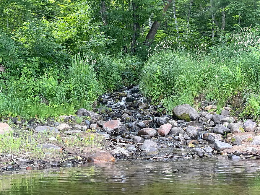
Small spring
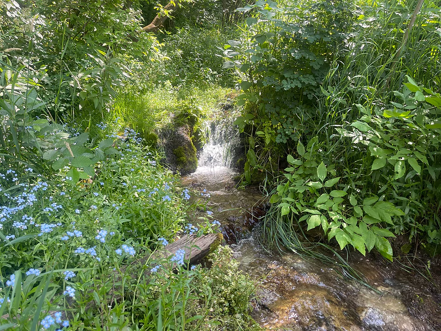
Mini waterfall with cold spring water
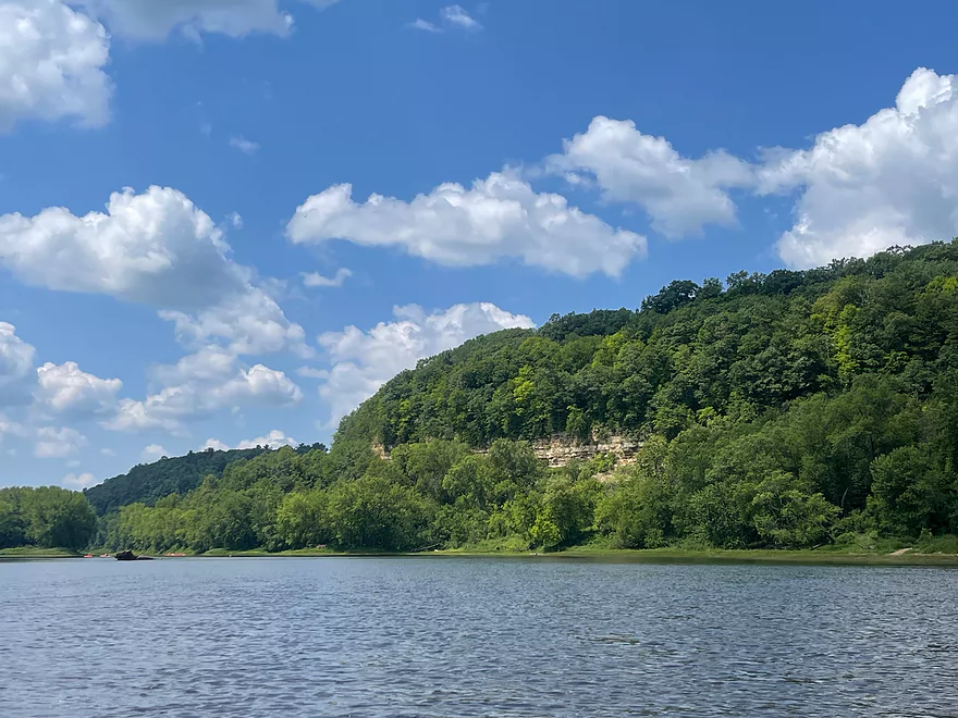
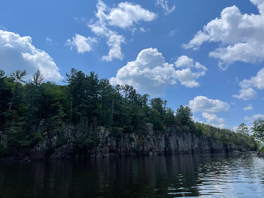
Outcrops on the Wisconsin side. A tourist railroad runs on top of this bluff.
Cedar Bend
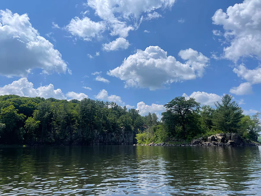
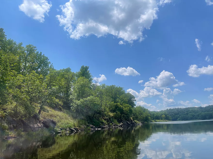
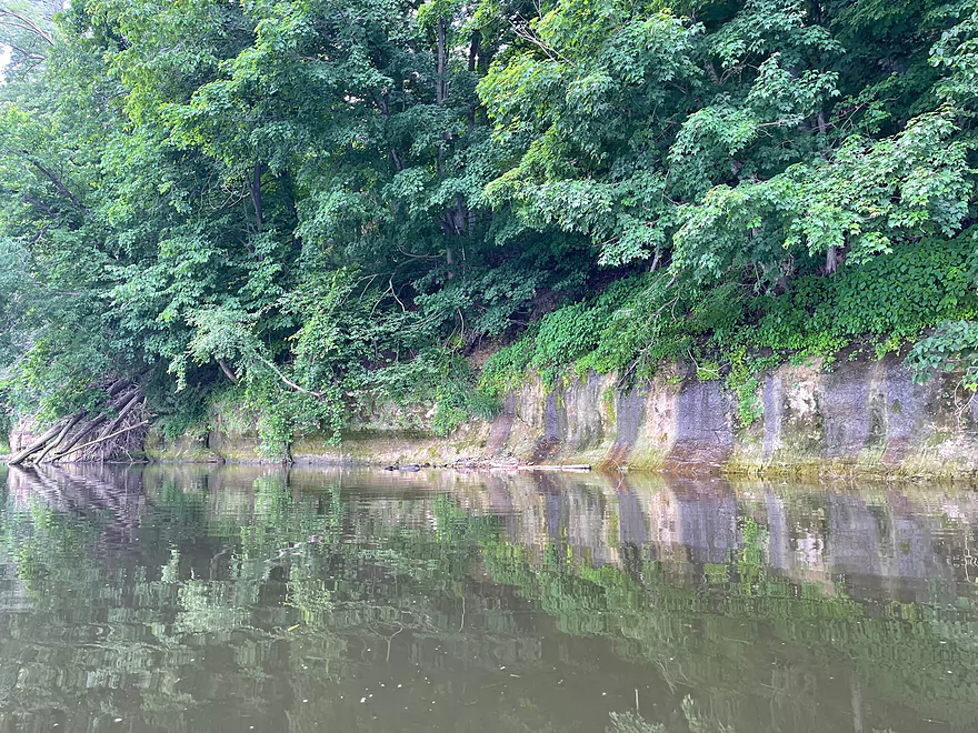
Outcrops on the Minnesota side
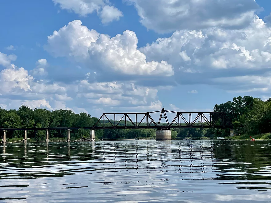
Soo Swing Bridge
Small waterfall (MN side)
Start of William O’Brien State Park
Scenic outcrop with people lining the ledge. Take out is to the right at the end of the ledge.
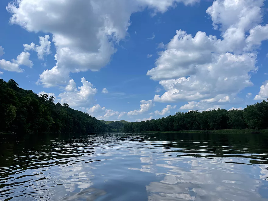
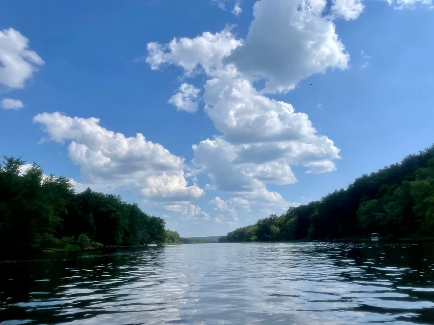
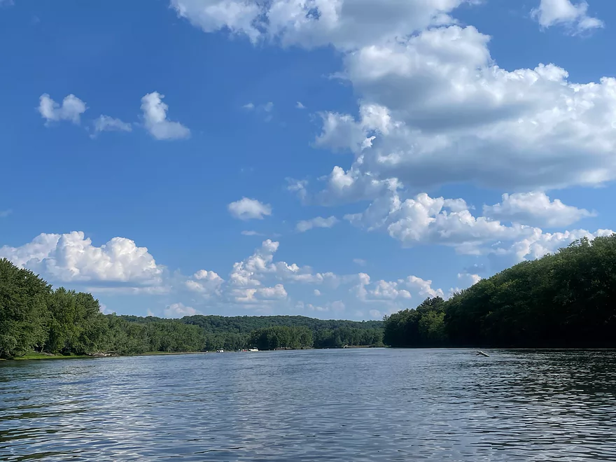
St Croix River – Interstate Park to William O’ Brien State Park

The St. Croix River is a gem from its headwaters to its at the Mississippi River. The Federal Government turned it into a national scenic riverway and manages most of its shoreline and provides amenities such as campsites, boat landings, and facilities throughout the river.
This trip begins at Interstate State Park, which has state parks in both Wisconsin and Minnesota. There is a very good launch on the Minnesota side and livery service by Taylor Falls Canoe Rental. I used them to shuttle back to my car and used my own kayak.
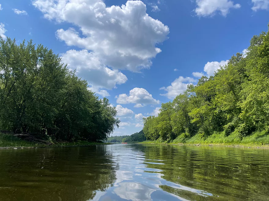
The bluffs immediately appear in view and continue on for the duration of the trip. About a mile in is Rock Island and very good rock formations and beaches, which were filled with people. After Rock Island, the shores are mainly sandy and there are some sandbars.
After passing under Hwy 243, about 80% of the people ended their trip at Osceola Landing. There are very high cliffs and bluffs on the Wisconsin side past the bridge. There are also multiple springs and waterfalls along the Wisconsin side. Vegetation blocks some of the views but they are definitely heard. Outcrops continue until Cedar Bend where the outcrops transition to the Minnesota shore. There are more springs and small waterfalls on that side.
After the Soo Swing Bridge, there is a gradual increase in motorized boat traffic. The boaters do not travel very fast and are respectful of paddlers. There are also cottages on the Minnesota shore while the Wisconsin shore is undeveloped with multiple campsites.
The start of an outcrop on the Minnesota side is at William O’ Brien State Park which had many people sitting along the ledges. Greenburg Island approaches and I had to paddle to the right in order to reach the landing. The shoreline wrapped around to the right after the outcrops to the boat landing.
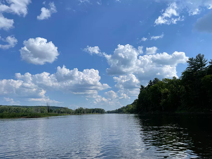
This section of the St. Croix is the start of the famous high bluffs. This is also the bluffs section that is the most friendly to paddlers. South of William O’ Brien State Park, the St. Croix becomes wider, deeper, and full of high speed boat traffic.
This segment of the St. Croix is a very scenic stretch of river that has a great mix of scenery, bluffs, outcrops, and beaches. A kayak trip from Interstate Park to Osceola is also enjoyable if you want a shorter trip. If you decide to venture out on the St. Croix, you’ll quickly see why it’s a National Scenic Riverway!
Thanks Peter for the review! WisconsinRiverTrips.com is always very appreciative of guest reviews, and if you the reader is ever interested in submitting one, you can use this online form.
- Gordon Dam to Empire Landing: 5.9 miles. A few Class 1 rapids and one Class 2.
- Empire Landing to Hwy T Landing: 3.8 miles. At least one Class 2 and three Class 2’s. Maybe more.
- Hwy T Landing to Louise Park: 1.1 miles. Multiple Class 1’s and one Class 2.
- Louise Park to Schoen Park: 2.1 miles. Maybe 6 pitches of Class 1 rapids.
- Schoen Park to Dry Landing: 1.0 miles. Maybe 2 pitches of Class 1 rapids.
- Dry Landing to CCC Bridge: 3.1 miles. One Class 2 and a few Class 1’s.
- CCC Bridge to Riverside Landing: 7.5 miles. Maybe 6 pitches of Class 1 rapids. River grows significantly with the addition of the Namekagon.
- Riverside Landing to Pansy Landing: 4.0 miles. One set of class 2 rapids. From here on, the St Croix serves as a border between Minnesota and Wisconsin.
- Pansy Landing to Yellow River Landing: 5.0 miles.
- Yellow Landing to Lower Tamarack Landing: 3.5 miles.
- Lower Tamarack Landing to Thayers Landing: 1.5 miles.
- Thayers Landing to Little Yellow Banks Landing: 7.6 miles.
- Little Yellow Banks Landing to St. Croix State Park Landing: 2.8 miles.
- St. Croix State Park Landing to Sand Creek Landing: 4.1 miles.
- Sand Creek Landing to Norway Point Landing: 0.6 miles.
- Norway Point Landing to Nelson’s Landing: 2.8 miles.
- Nelson’s Landing to Head of the Rapids Landing: 1.1 miles. One set of Class 1 rapids.
- Head of Rapids Landing to Snake River Landing/Soderbeck Landing: 7.6 miles. The St. Croix splits into a very long island formed by the confluence of the Kettle River leaving paddlers with a choice. The east channel will have more/stronger rapids and more landing options. Both channels contain Class 2 rapids. This is a nice stretch of the river.
- Head of Rapids Landing to Fox Landing (East Channel): 1.6 miles. One Class 2 and multiple Class 1 rapids. Scenic stretch.
- Fox Landing (East Channel) to Snake River Landing/Soderbeck Landing: 6.0 miles. Multiple Class 2 rapids. Scenic stretch.
- Snake River Landing/Soderbeck Landing to Sandrock Cliff Campground Access: 2.5 miles. Includes nice sandstone cliff at the end of the leg.
- Sandrock Cliff Campground Access to Hwy 70 Landing: 1.6 miles.
- Hwy 70 Landing to Raspberry Creek Landing: 1.3 miles. One set of Class 1 rapids.
- Raspberry Creek Landing to Stevens Creek Landing: 3.8 miles. A few light riffles.
- Stevens Creek Landing to Old Railroad Bridge Landing: 2.6 miles.
- Old Railroad Bridge Landing to Rush City Ferry Landing: 1.9 miles.
- Rush City Ferry Landing to Sunrise Landing: 8.6 miles.
- Sunrise Landing to Nevers Dam Landing: 8.5 miles.
- Nevers Dam Landing to Wild River Landing: 1.1 miles.
- Wild River Landing to Lions Park: 8.6 miles.
- Lions Park to St. Croix Falls Dam: 1.0 miles. Likely a boring flowage paddle. I think you can launch/portage west of the dam but am not sure. There might be a troublesome fence.
- St. Croix Falls Dam to North Campground: 0.7 miles. Nice stretch but put-in access can be difficult. By Hwy 8, I believe you can launch at the covered bridge/Casey’s instead of the North Campground.
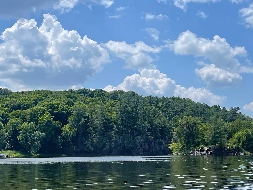
- North Campground to Hwy 8 Wayside: 0.3 miles. Incredibly scenic section with large rock walls. There are Class 2/3 rapids downstream from the Hwy 8 bridge that should be scouted before any run. If you use the Hwy 8 Wayside as a launch be careful not to block tour boat customers as they also use the launch here.
- Hwy 8 Wayside to Park Road Access: 0.6 miles. Stretch goes through the Dalles of the St Croix and features impressive rock walls. This is the best and most scenic leg on the river. There are some Class 1-2 rapids below the Hwy 8 Access.
- Park Road Access to Interstate State Park: 0.5 miles.
- Interstate Park to William O’Brien State Park Landing: 15.4 miles.
- Interstate Park to Franconia Landing: 2.3 miles. Multiple bluffs, rock formations and beaches.
- Franconia Landing to Osceola Landing: 3.8 miles. More sandy with some smaller outcrops.
- Osceola Landing to Log House Landing: 7.4 miles. Good scenery with large bluffs, shore-side springs, nice rock outcrops and an old swing bridge.
- Log House Landing to William O’Brien State Park Landing: 2.3 miles. Not as many highlights, but still some nice outcrops.
- William O’Brien State Park Landing to Somerset Landing: 0.9 miles.
- Somerset Landing to Rice Lake Road Landing: 3.1 miles. Highlights include a large collection of islands and side channels to explore. Shoreline development starts to become more common from here on.
- Rice Lake Road Landing to Twin Springs Park: 8.2 miles. Probably not a super interesting stretch, but does include more islands and side channels to explore.
- Twin Springs Park to Boom Site Landing: 0.7 miles.
- Boom Site Landing to Bayport Launch: 5.4 miles. A busy, developed stretch of the river that is very wide. Likely not good for kayaking, although there is a cool historic lift bridge on this leg.
- Bayport Launch to Buckeye Street Ramp: 4.3 miles. Likely too big for enjoyable paddling.
- Buckeye Street Ramp to The Cove Boat Ramp: 4.8 miles. Likely too big for enjoyable kayaking. River gets to be over 1.4 miles wide.
- The Cove Boat Ramp to St. Croix Bluffs Regional Park Boat Ramp: 9.4 miles.
- St. Croix Bluffs Regional Park Boat Ramp to Point Douglas Park/Mississippi: 3.7 miles.
Trip Map
Overview Map
Photos Size: