
Relatively new park is a good launching option
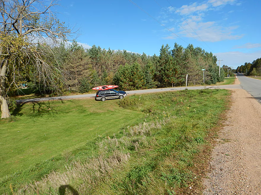
Parking on the shoulder
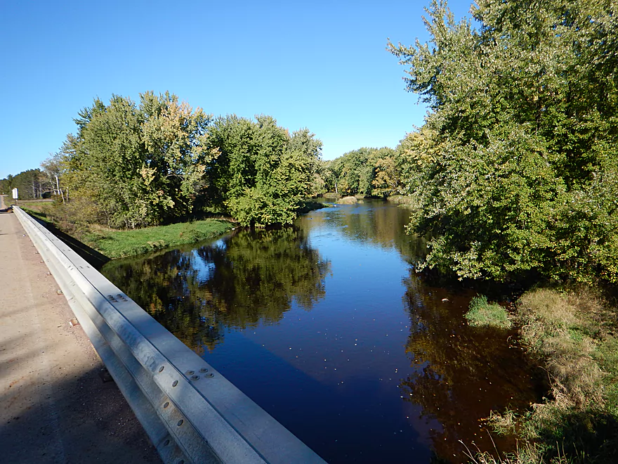
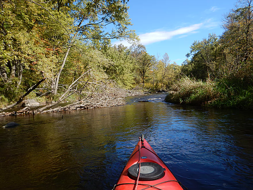
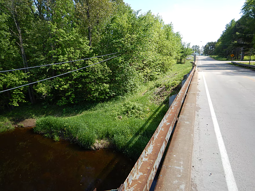
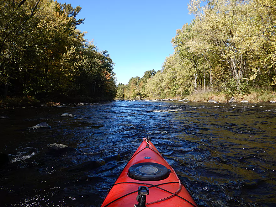
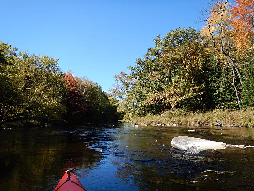
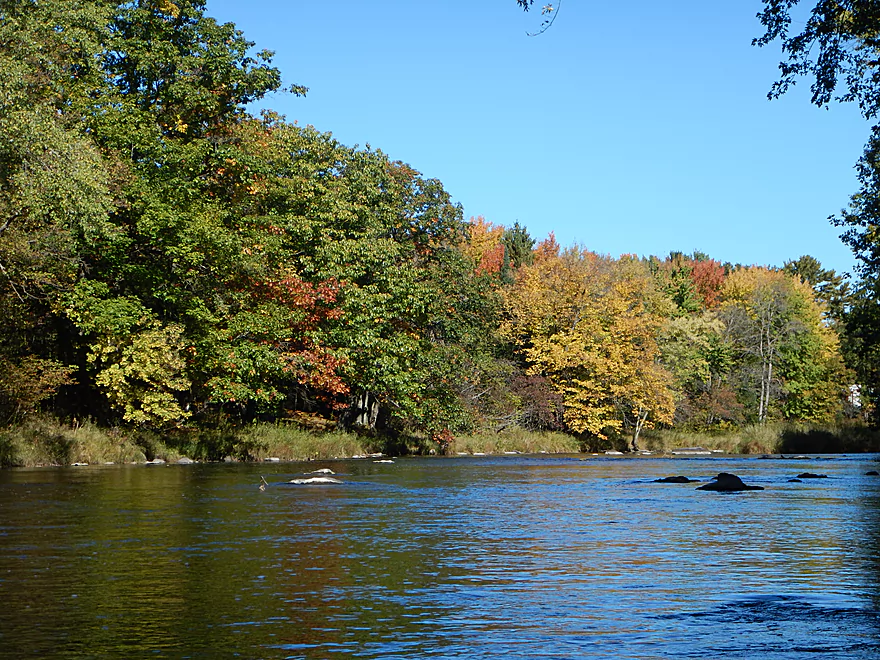
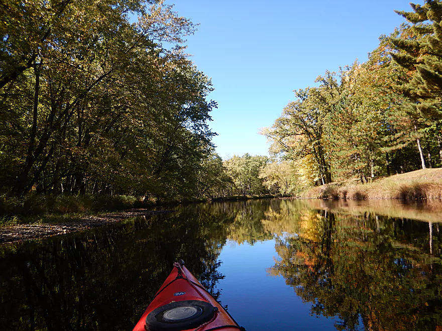
View upstream from Club House Road
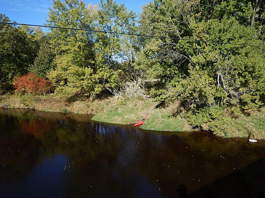
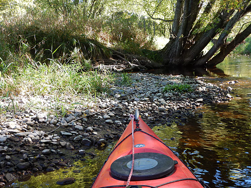
Nice grassy launch
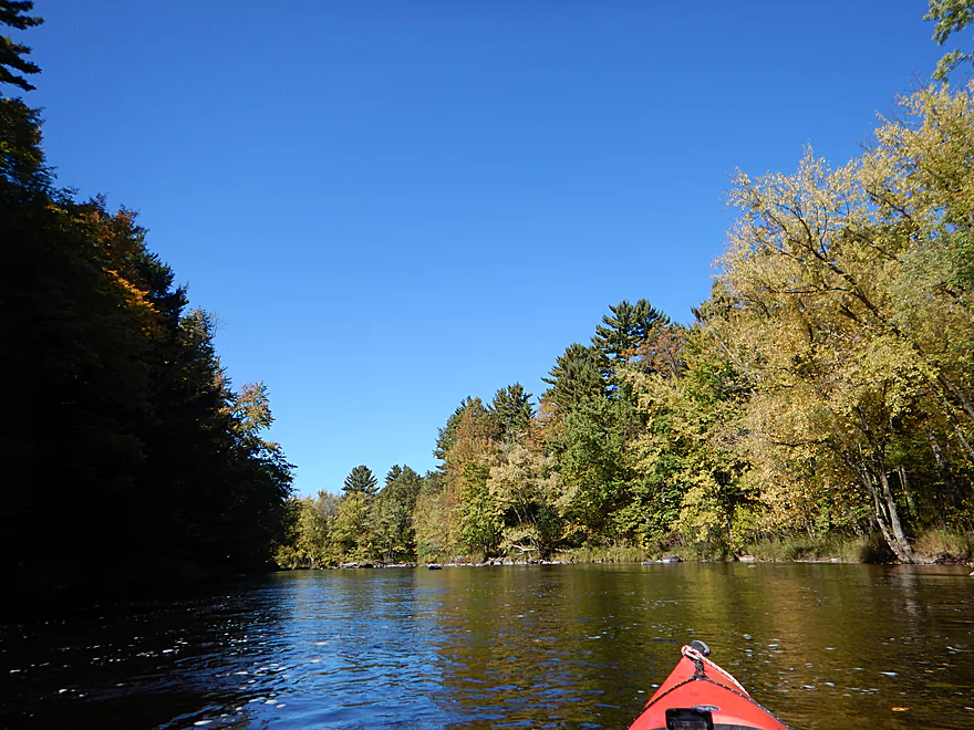
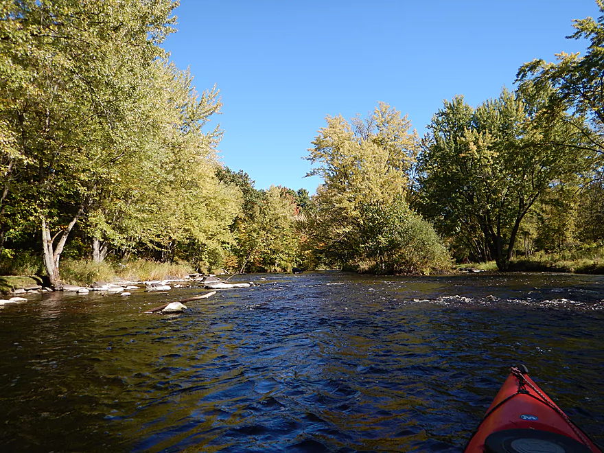
Very peaceful to start
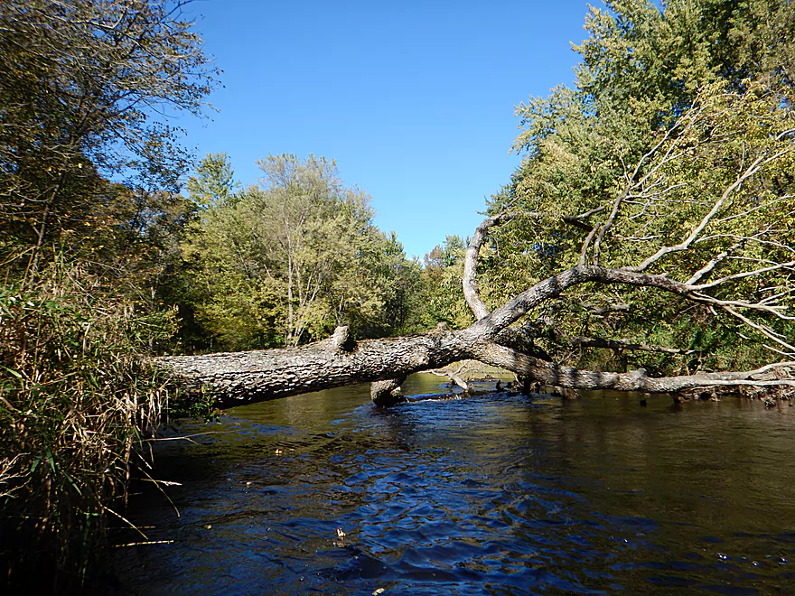
Downed tree is super easy to portage
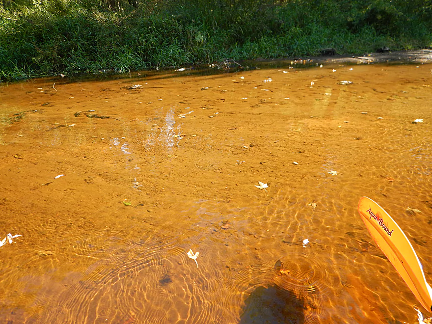
During dry spells, most of the river would look like this
Alternate access by a Mountain Bay Bike Trail pull-off
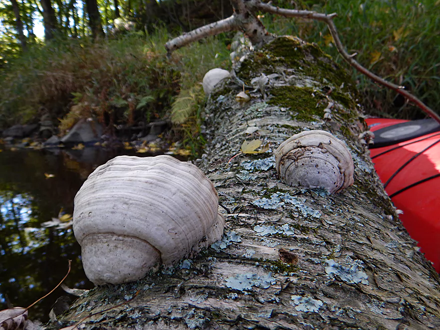
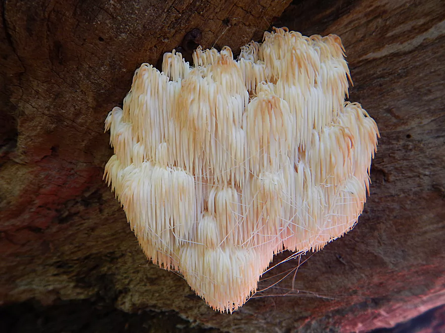
Horse’s hoof fungus
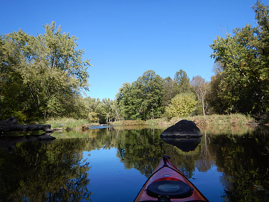
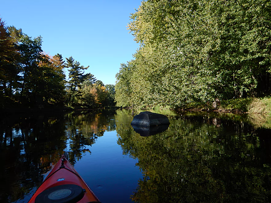
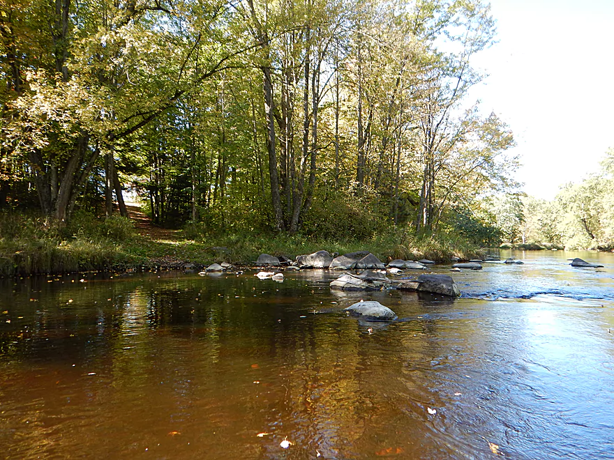
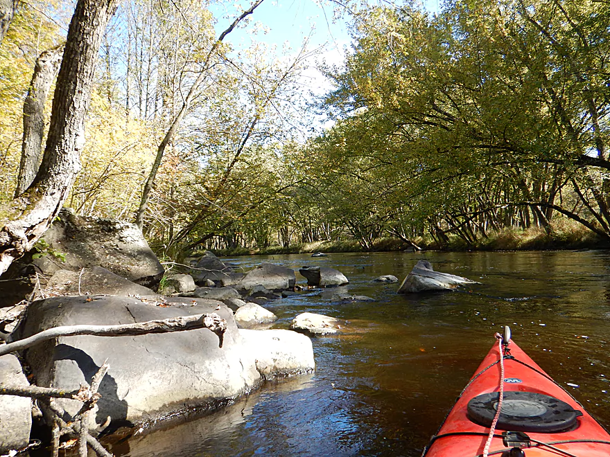
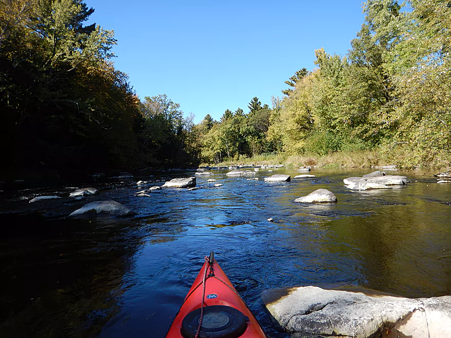
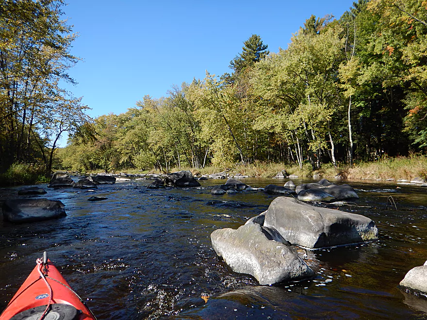
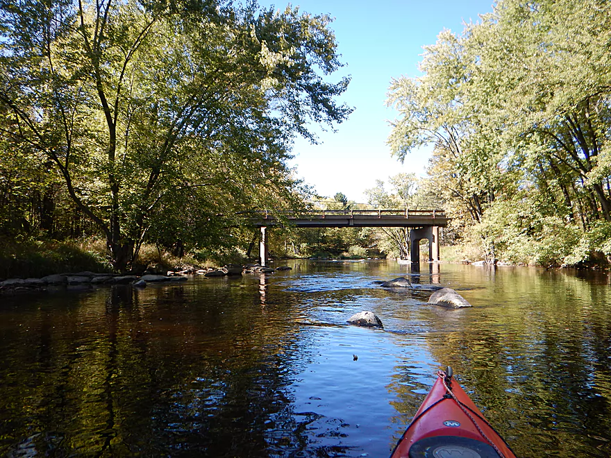
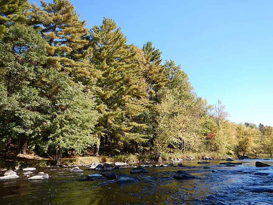
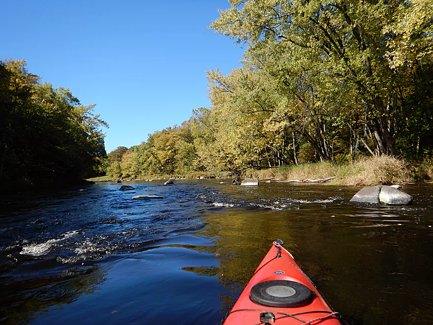
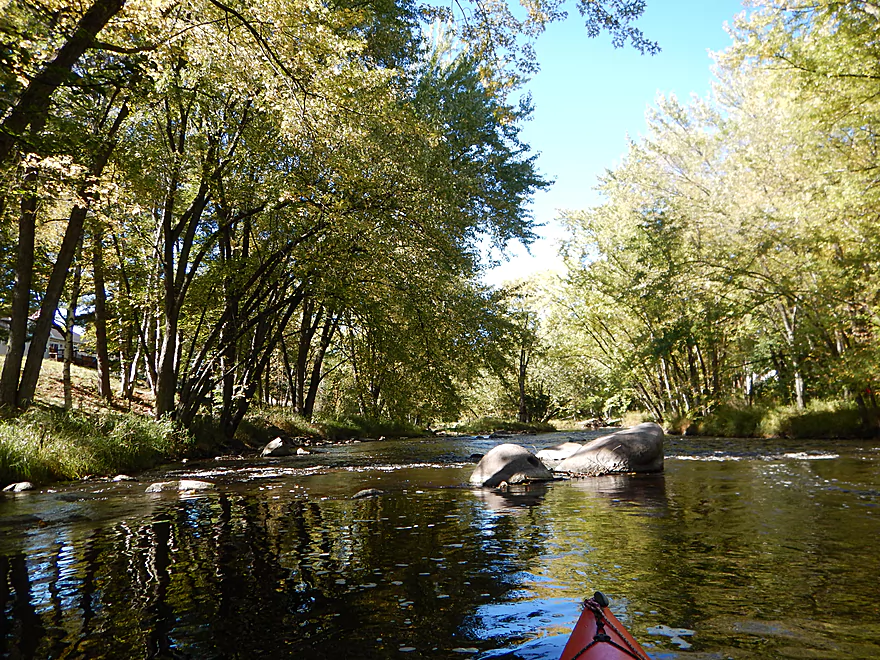
First nice boulder garden
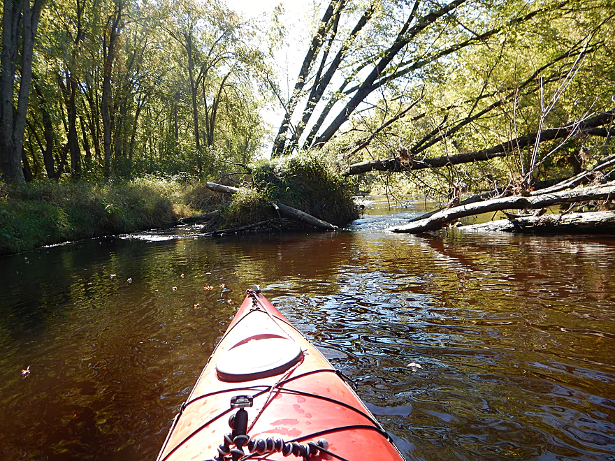
Poor man’s drone picture
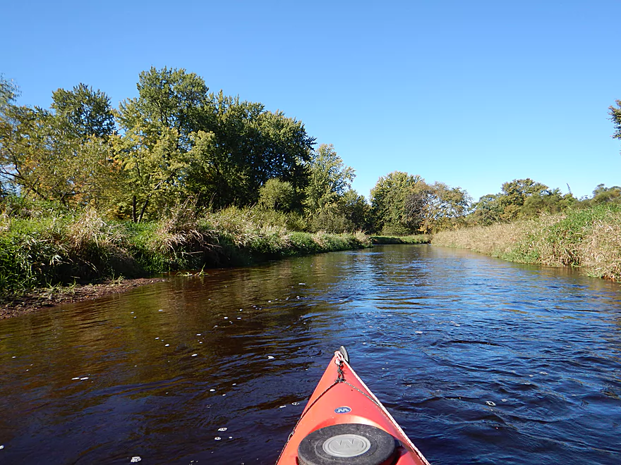
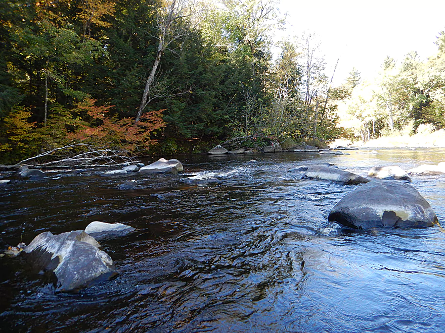
Much of the river had this nice gravel substrate
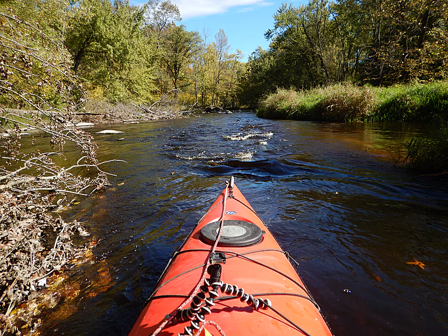
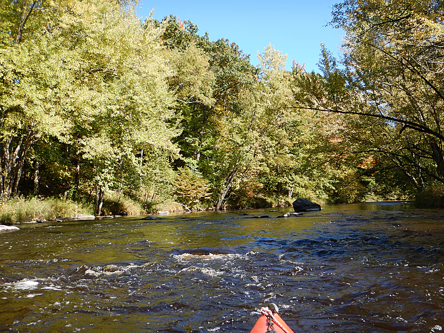
Occasional brisk current
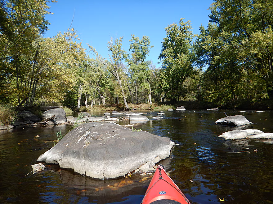
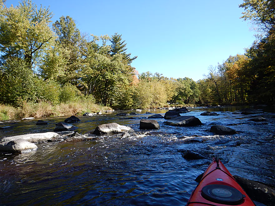
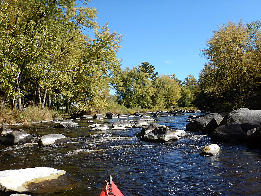
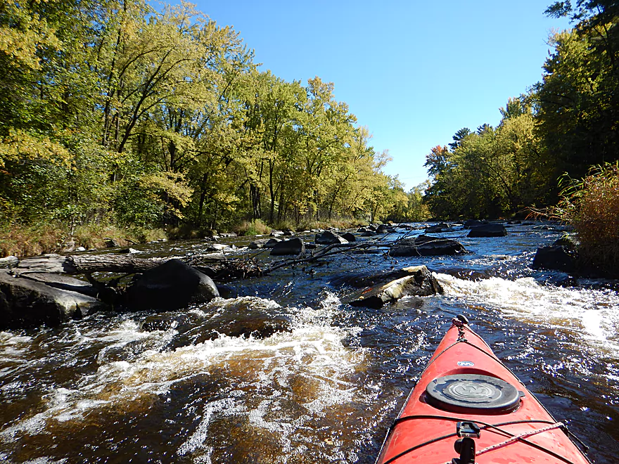
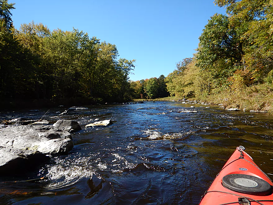
Another really nice boulder garden
With fun rapids
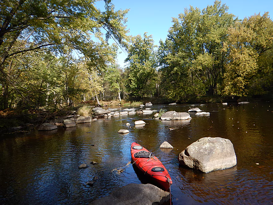
Reverse view
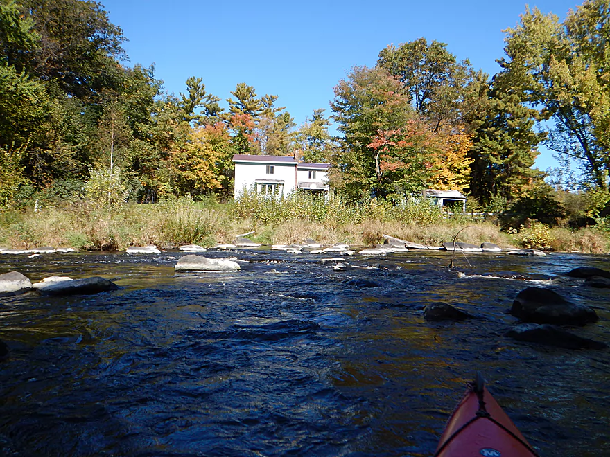
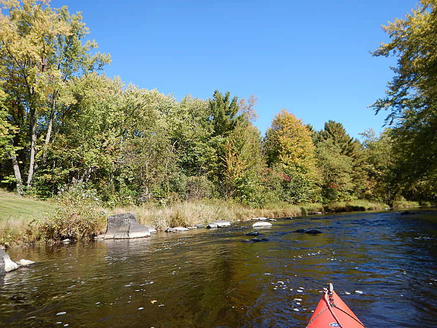
Homeowner has a super scenic view
The boulder garden just keeps going
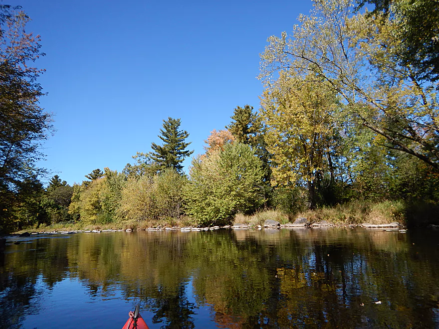
Reverse view
Lot of friendly sugar maples
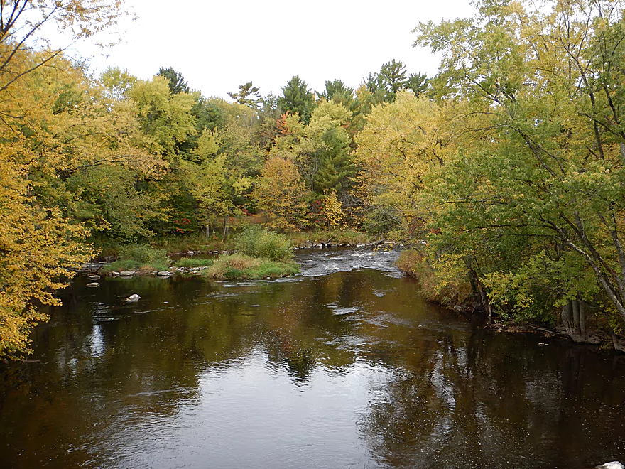
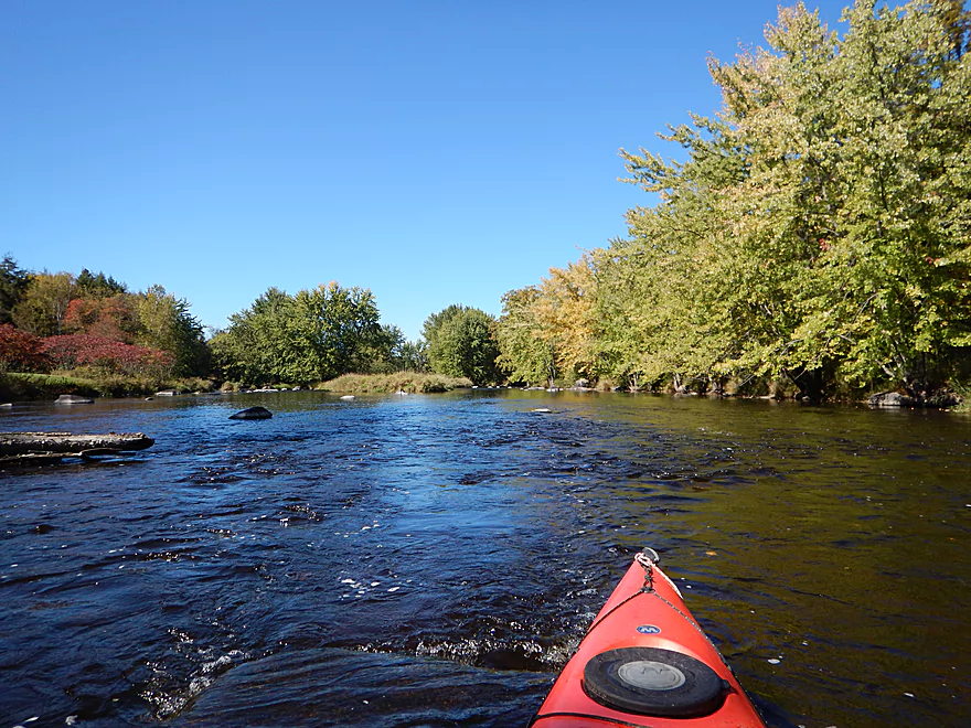
Just starting to get some fall color
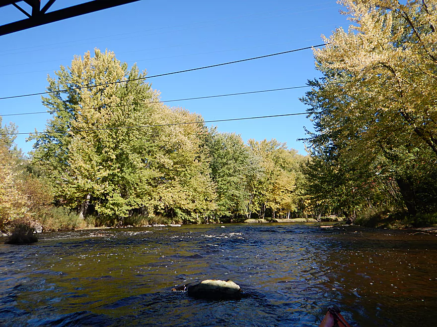
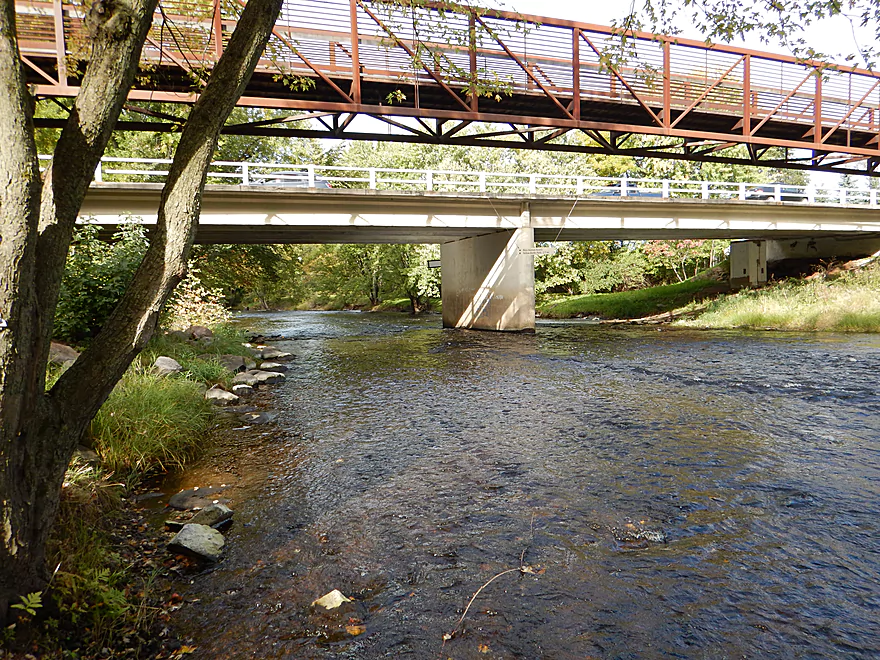
Coming up on Hwy J
You can take out southeast of the bridge
But then you miss out on a really nice part of the river
Including this Class 2 drop
And a half mile of almost continuous rapids
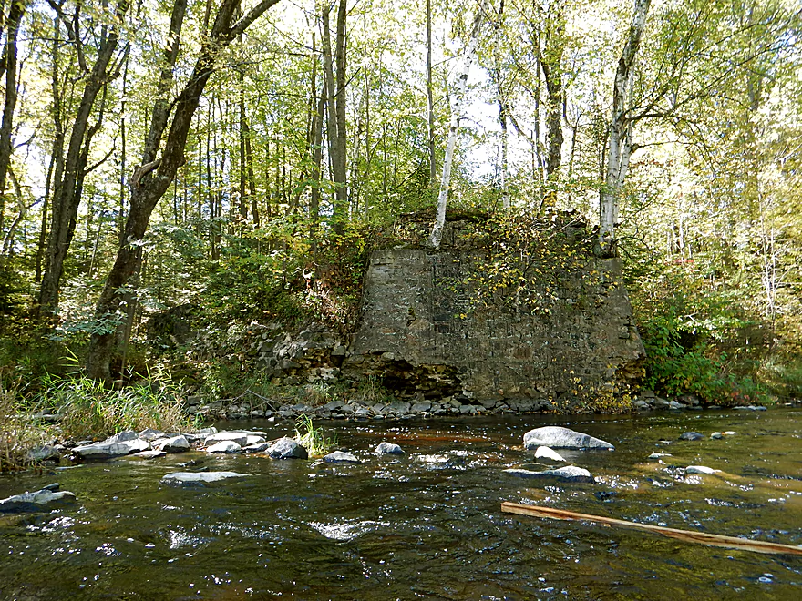
Looks like an old washed out bridge
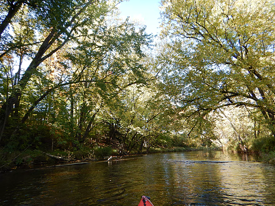
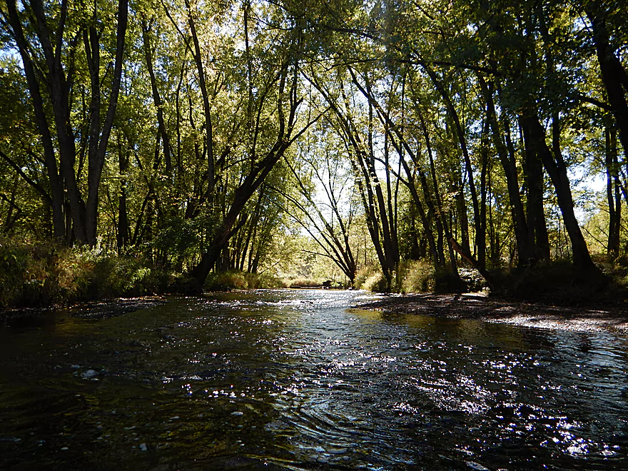
Very scenic section
Reverse view
Starting to get more white pines along the bank
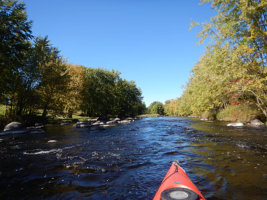
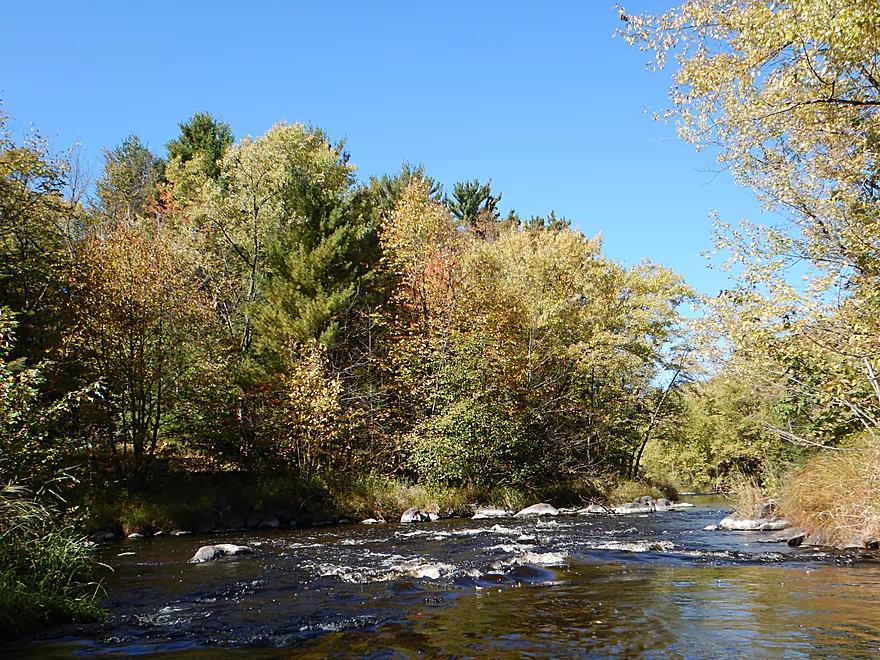
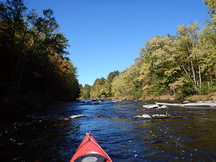
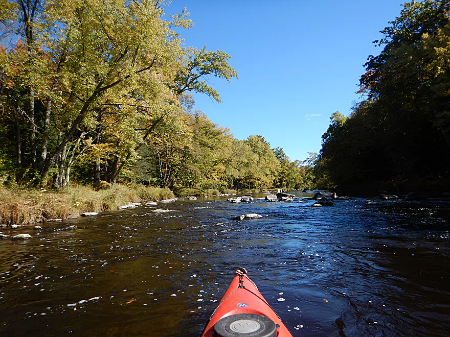
Typical Eau Claire…riffles and boulders

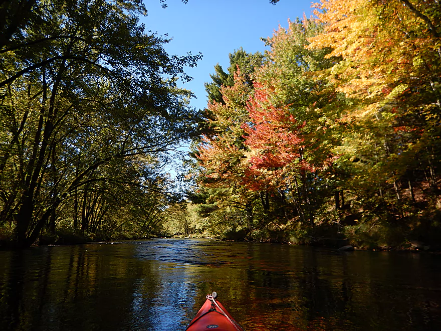
Some nicer fall color
Cool looking fungus
Minor logjam…easy to get through
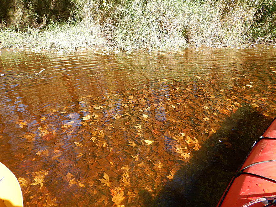
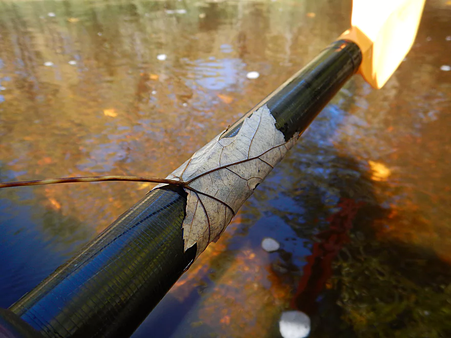
Mass maple leaf graveyard
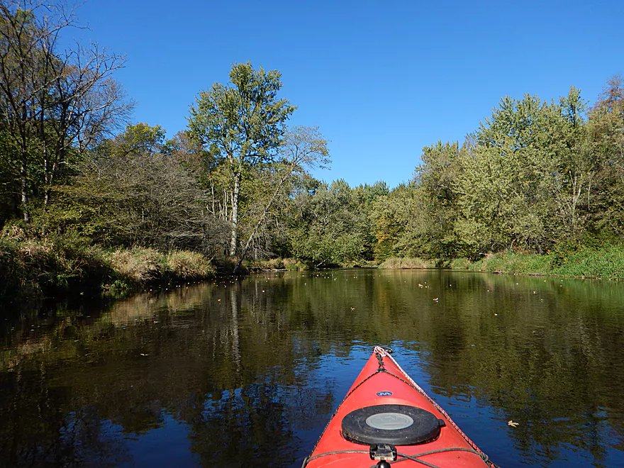
Very peaceful river
A week later, the whole river would have been like this
Coming up on the final stretch of rapids
The last boulder garden
Looking back
Taking out at Ross Ave
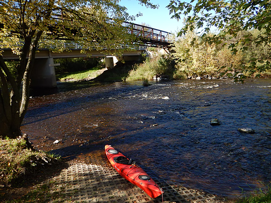
Scenic rapids by the take-out
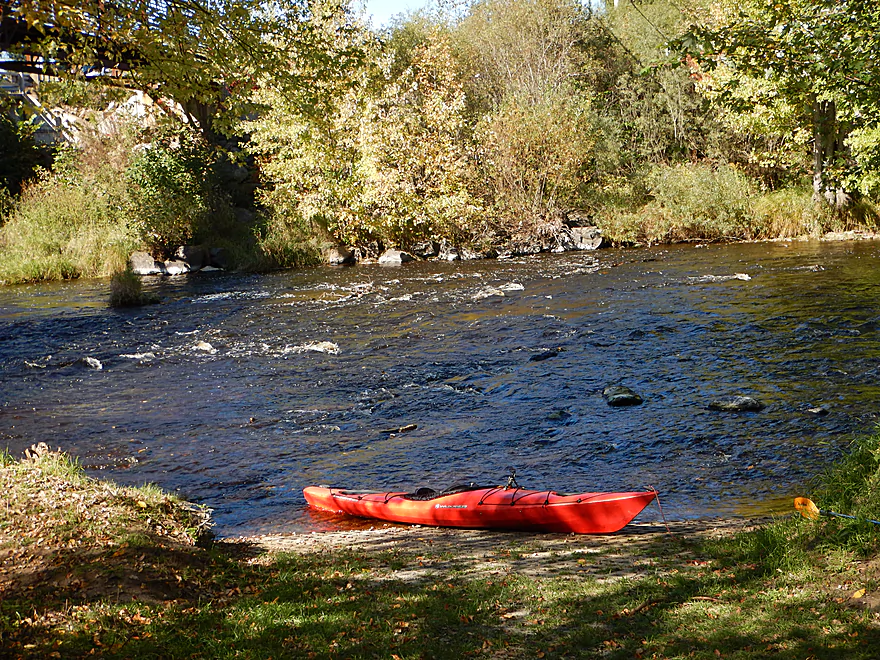
This is a great landing
Perfect for bike shuttlers
The adjacent Mountain-Bay Trail is a great shuttle option
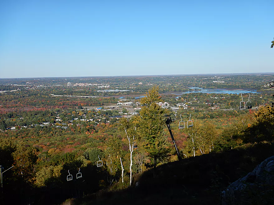
Marvelous view atop Rib Mountain
Eau Claire River – Weston


The upper Eau Claire River is one of Wisconsin’s most noteworthy paddling prospects, with fantastic dells, boulder gardens, and rapids. Few, however, try the lower portion. Is this overlooked for a reason? Time to find out…
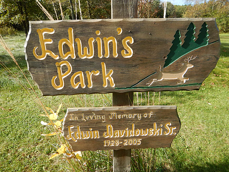
The launch at Edwin’s Park is a good way to start a trip. For the first two miles of the trip you’ll enjoy pleasant scenery, but not anything too exotic. Mostly lightly wooded banks, a wide channel, clean water, and a rocky substrate. Peaceful and nice, but probably not more than 3.5 stars. The current is mostly placid to start, with a few riffles here and there and perhaps the fastest section being under a downed tree (easy to portage because of an adjoining sandbar).
At about halfway between Edwin’s Park and Hwy J the river narrows, picks up speed, and heads through a dense forest. The scenery gets more interesting with several small rapids and small boulder gardens. The highlight is “at the top of the Smurf hat” (see map) where you can paddle through the largest and most scenic boulder garden on the trip. Weaving through the boulders are some fun Class 1 rapids that, while not difficult, will keep you on your toes.
The Eau Claire is an excellent fall color paddle because of its abundant sugar maples, but alas, I was a tad early on my timing and mostly missed out on the best color (although the river did have its moments).
The Hwy J bridge roughly marks the halfway point of the trip. You can take out here if you wish. There is a beaten down path southeast of the bridge and you can park on the shoulder off Callon Ave (by the D.C. Everest school).
However, if you take out here you will miss one of the best parts of the Lower Eau Claire. Immediately downstream from J there are Class 2 rapids and, despite my half-skirt, I got splashed good. Following this ledge there are boulder gardens and rapids for the next half mile. The subsequent two miles continue with sporadic light rapids, small boulder gardens, and attractively wooded banks with trees arching over the channel as if to protect it from the sun.
Despite this being a trip in the Wausau metro area, you won’t see that many houses nor signs of civilization, but this changes a half mile prior to Ross Ave where paddlers will pass through a wooded residential area. This last half mile contains a great concentration of scenic rapids that go up to (and do not end) at the take-out by Ross Ave. If you really wanted to, you could continue 2.9 miles downstream to the next take-out at Yellow Banks Park, but I’m not sure that section is as nice.
In summary, this was a great trip that started on a slow note but, thanks to a great middle portion, earned its stars. If you only wanted to do one of these two sections, I suggest doing the latter (Hwy J to Ross Ave), which was more scenic and faster than Edwin’s Park to Hwy J…but they are both good sections. However, if we are to compare all Eau Claire sections, then the upper Eau Claire is still the better paddling prospect. A good game plan might be to plan on doing a trip on the upper Eau Claire with this lower section as a backup plan. Often times the upper section is too shallow to run which is less frequently an issue for the lower Eau Claire.
Good canoe launch at Edwin’s Park (just NW of the Club House Road bridge). Parking is available on the shoulder. There are no outhouses.
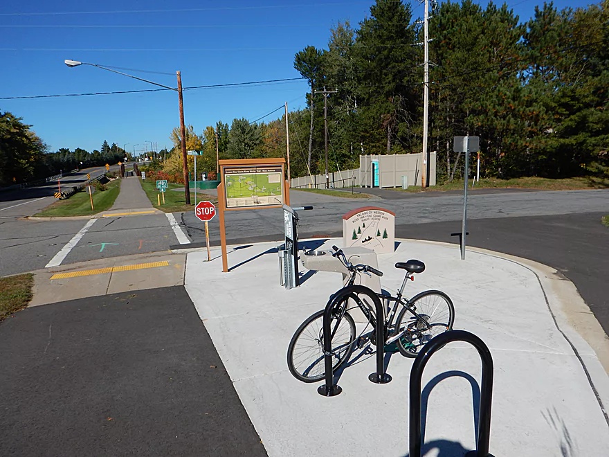
My all-time favorite launch. Brand new and located just SE of Ross Ave, this includes:
- Free parking (and plenty of it)
- A water fountain
- An outhouse
- A water trail map for paddlers
- A nice ramp leading directly to the water
- A public bike pump
- A public bike repair kit
- Public bike posts for locking
- Signs under the bridge with references to the next landing
- Hardly any people
- To top it off…it’s very scenic with rapids
Many river communities could/should steal a page from what Weston has done!
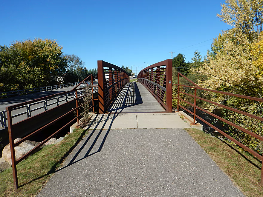
This is actually a great bike shuttle. While on the longer side at 6.1 miles, the shuttle has no hills and most of it can be done on the Mountain-Bay State Trail. Roughly speaking the trail west of Hwy J is mostly paved, whereas the trail east of J is crushed limestone. If crushed limestone is not your thing, you could easily just bike on the adjacent road. A state trail pass is required to use the bike trail.
Riverside Rentals does do shuttles and rentals on the lower Eau Claire. They can be reached at: (715) 574-1771.
There are a few downed trees you will have to duck under. The first hangs over rapids, and I highly recommend portaging it. While I never portaged, it wouldn’t be difficult to do so because of the lack of mud. There are several downed trees after Hwy J, which I was able to sneak though with little difficulty.
There are many riffles on this trip, most of which are Class 1. Following the Hwy J bridge there is a steeper drop that is probably Class 2, followed by a half-mile stretch of strong Class 1 rapids. I didn’t think these were dangerous, but it would be easy for a beginner to hit a rock, get turned sideways, and fill with water.
This is mostly a pool-and-riffle river with fast rapids and slow channels in between. There is a local gauge at Kelly and, based on this, I will try to guestimate a rough depth guide for the Lower Eau Claire:
- 50-110 CFS: A common late fall depth. Water clarity and boulder gardens should be great, but you’ll probably get hung up on a few of the rapids.
- 111-160 CFS: Probably a good depth. You’ll hit bottom occasionally, but nothing serious. I did the trip at 150 CFS, which worked well.
- 161 to 260 CFS: A good target depth to enjoy the rapids. My upper Eau Claire trip was done at 250 CFS.
- 261 to 360 CFS: River is on the high side at this point. I think this should be manageable but don’t know. Some of the scenic boulder gardens might be submerged.
- 361+ CFS: A depth only achieved a handful of times in a year. Perhaps only suitable for experienced paddlers.
Two eagles, a great blue heron and some geese. The highlight was a family of otters who weren’t happy to see me. They would alternately peak above the surface to keep an eye on me while making strange chirping sounds. Here is what chirping otters sound like.
Rib Mountain State Park is very nearby and worth checking out. It’s claim to fame is its scenic overlooks with fantastic views of downtown Wausau, the Wisconsin River and the Big Rib River (especially in October). Here is a map.
Detailed Overview
- Upstream of Ackley Road: I just don't know much about this section (it is technically the East Branch).
- Ackley/Spring Road to Hwy G: 10.0 miles. A good prospect with no major rapids.
- Hwy G to Bear Lake Road: 3.0 miles. A good prospect, but I don't believe there are rapids.
- Bear Lake Road to Hwy 52: 3.6 miles. A great five star section with many boulder gardens and rapids (a few Class 2's and one Class 3).
- Hwy 52 to Dells of the Eau Claire Park: 4.1 miles. Really neat section with rapids and fantastic rock walls. Rapids are less serious than the upstream leg, but do include a Class 2 I believe.
- Dells of the Eau Claire Park to Hwy Y: 0.2 miles. This section is called "The Ledges" and is typically Class 2, but is Class 3 in higher water. The dam should be portaged river right (there are downed trees in the water to contend with below the dam).
- Hwy Y to Hwy N: 6.6 miles.
- Hwy Y to Hwy Z: 2.0 miles. This starts with the famous Dells that should be portaged. There is a poor portage path (right/north) but it is steep. I recommend instead launching from either the south or north trails. After the Dells is a great section which includes very scenic rock walls and Class 2 rapids.
- Hwy Z to Hwy N: 4.6 miles. More flatwater, but still many rapids, including a Class 3 by Lower Dells Island. Badger Road is a steep but alternate access point.
- Hwy N to Clubhouse Road (aka Edwin's Park): 3.5 miles. Pleasant, but I suspect this lacks any serious rapids. Popular with locals and the liveries.
- Edwin's Park to Ross Ave: 7.8 miles.
- Edwin's Park to Hwy J: 4.1 miles. A nice section with a few rapids and boulder gardens. The Mountain-Bay State Trail pull-off is an alternate access option.
- Hwy J to Ross Ave: 3.7 miles. A great section with more rapids and boulder gardens.
- Ross Ave to Yellowbanks Park: 2.7 miles. I don't know much about this section...there are some rapids.
- Yellowbanks Park to Eau Claire River Conservancy: 2.7 miles. A narrow wooded section. Not sure if the Conservancy is accessible during low water.
- Eau Claire River Conservancy to the Brooks & Ross Dam (aka Drott Street): 1.5 miles. Probably boring flowage paddling. After the dam you are on the Wisconsin River (and another flowage).
Trip Map
Overview Map
Video
Photos Size: