
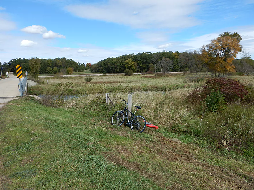
Blynn Road is a good access point with nicely mowed shoulders
Be careful not to drive over this barbed wire though
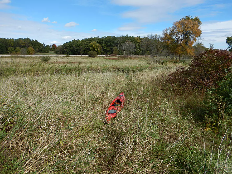
Nice trail leading to the water
Good launching bank for ottering in
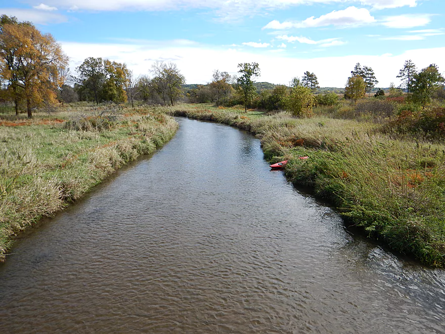
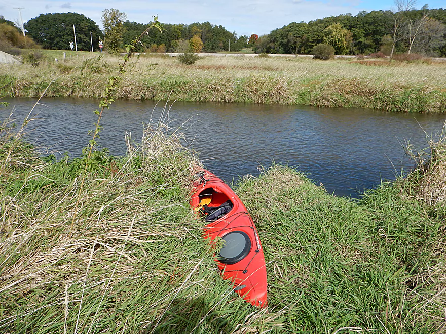
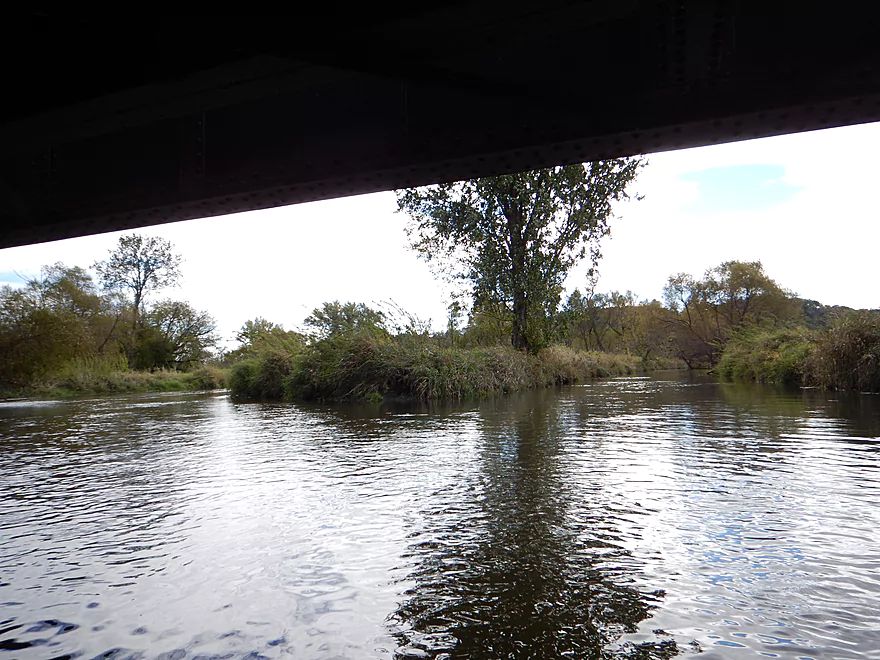
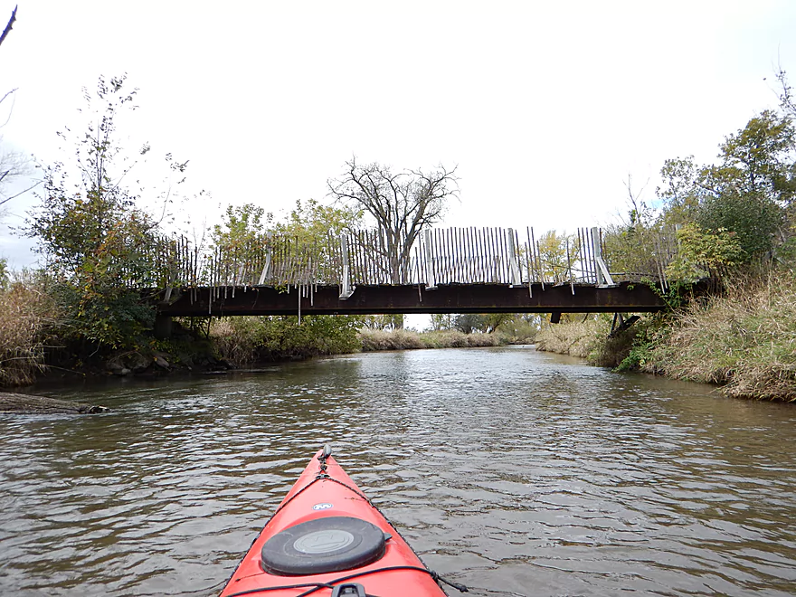
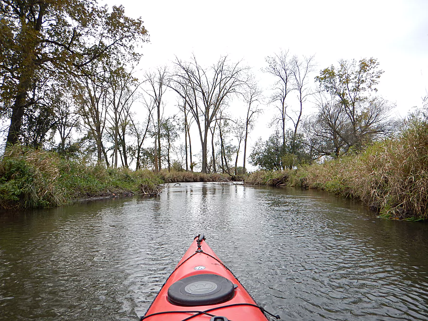
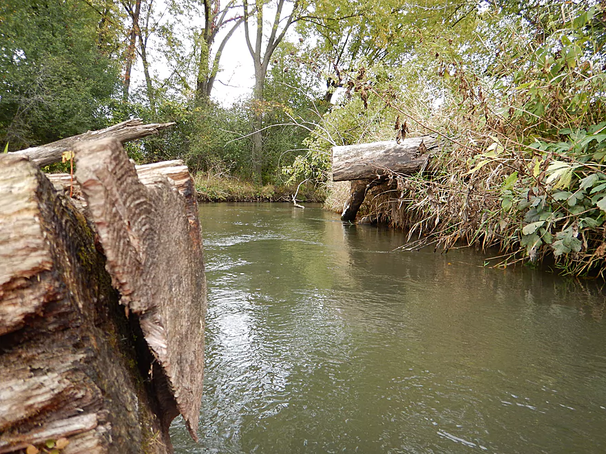
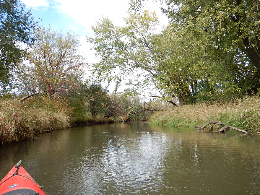
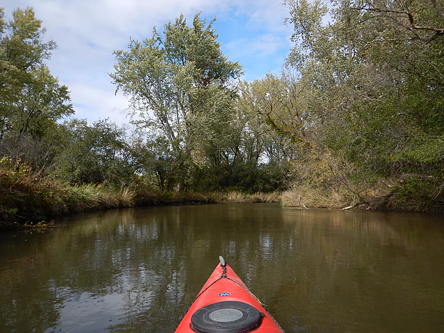
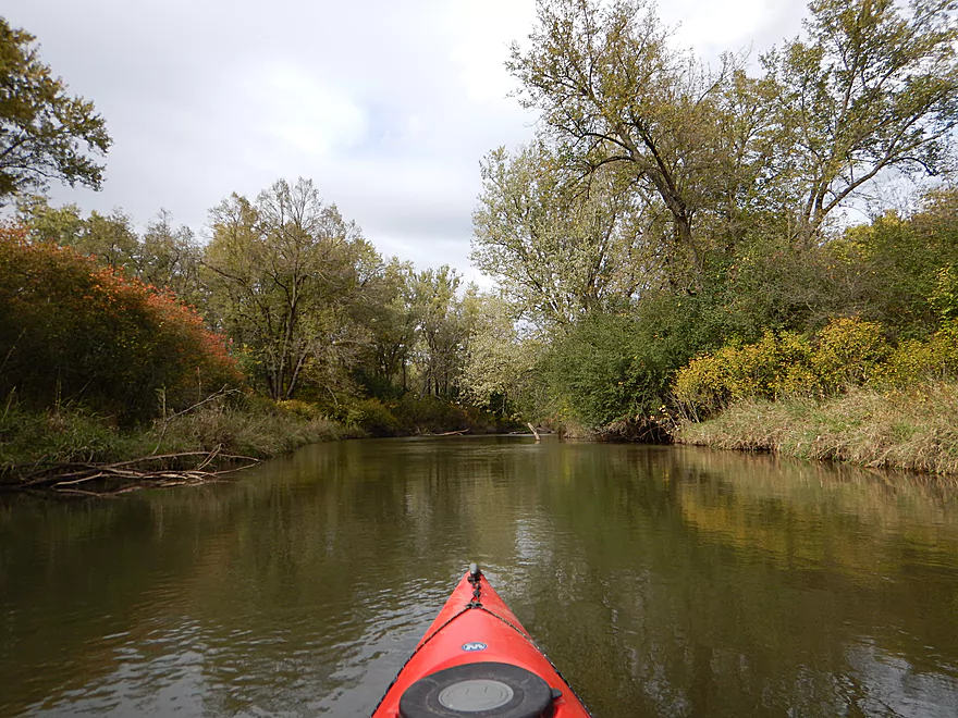
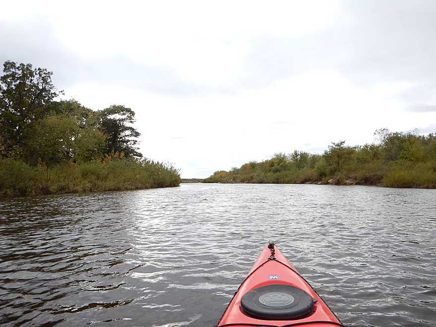
Looking upstream from the bridge
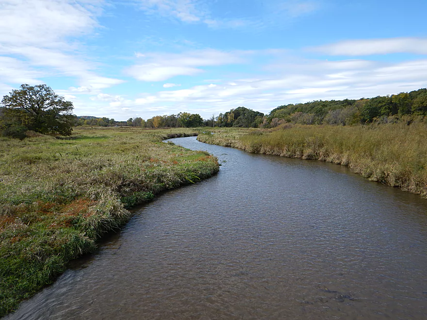
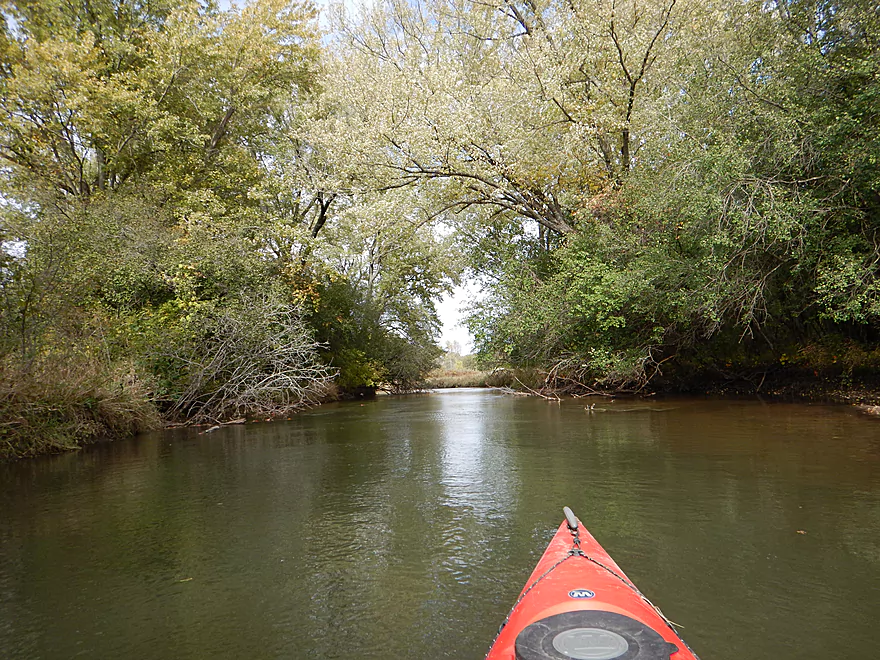
Now downstream
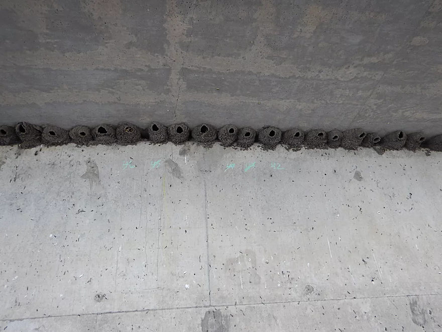
Occupants long gone to warmer places
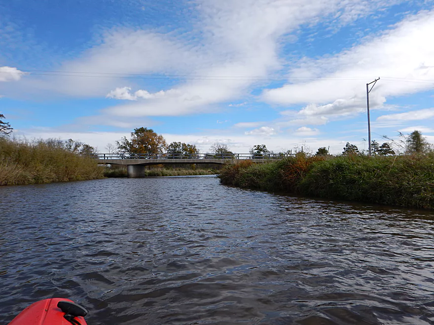
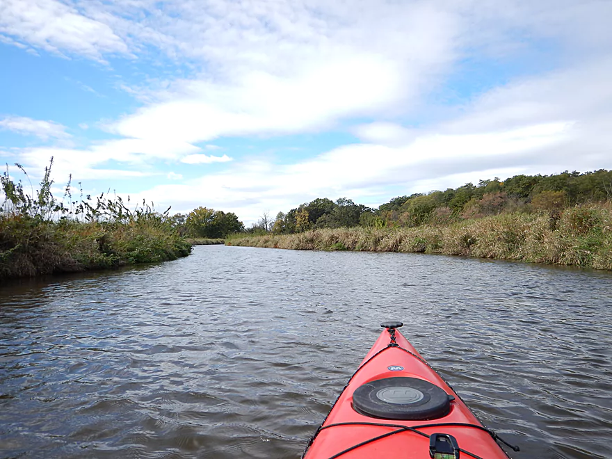
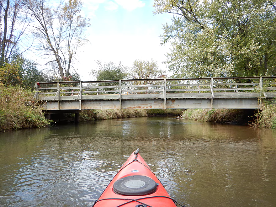
Looking back at the Blynn Road bridge
Technically, this is Black Earth Creek
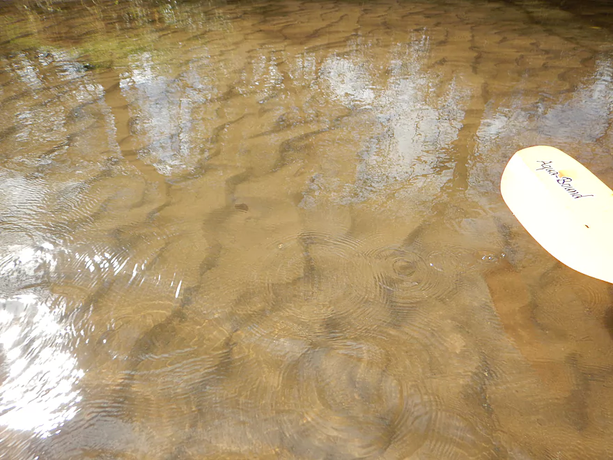
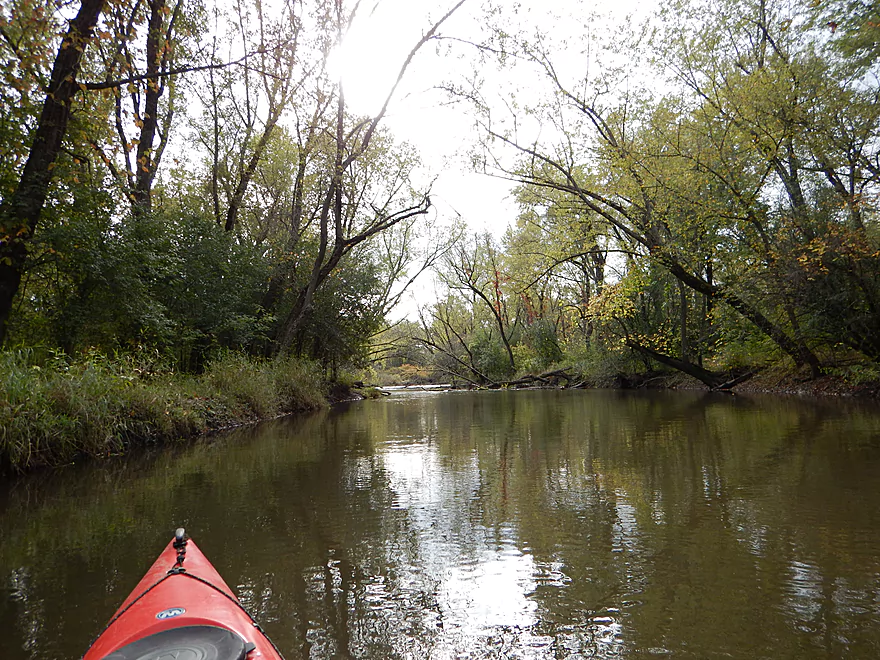
Black Earth Creek still has decent clarity, but not topnotch
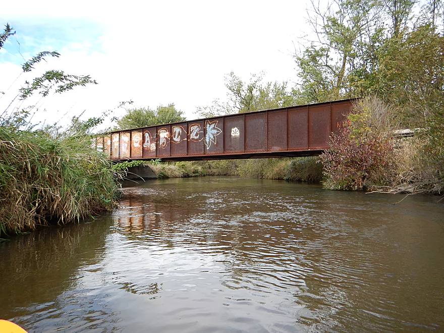
Another railroad bridge with awful graffiti
Blue Mounds Creek now enters and becomes the official namesake to the mouth
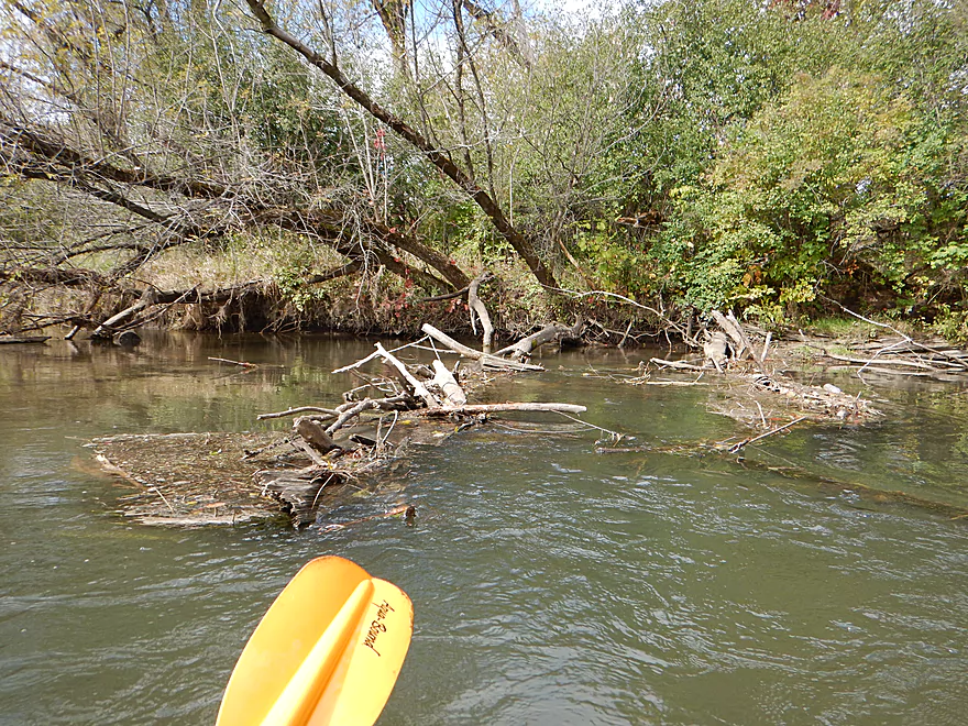
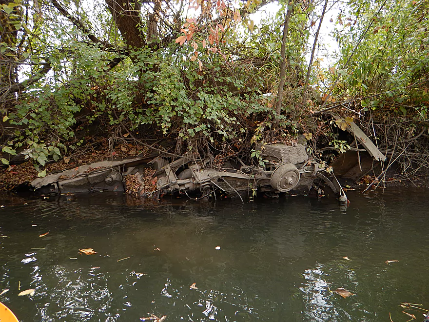
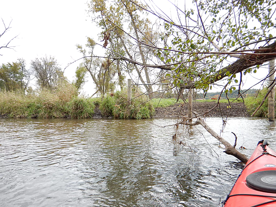
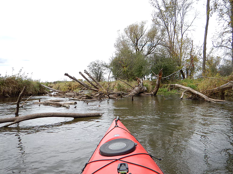
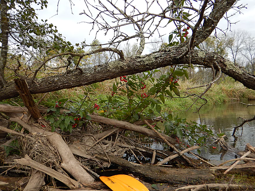
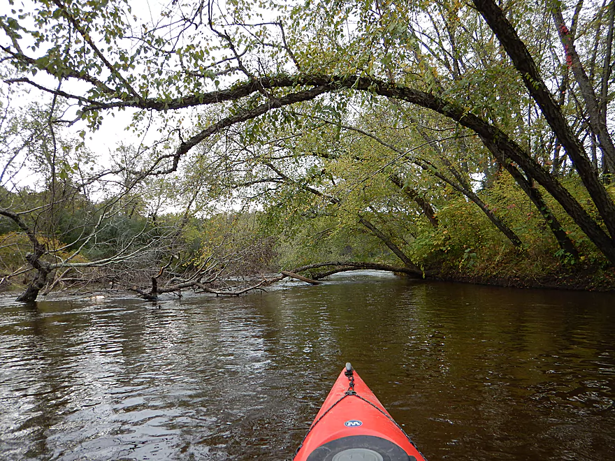
There used to be a lot of deadfall in the channel
Branch-high debris marks previous high waterlines
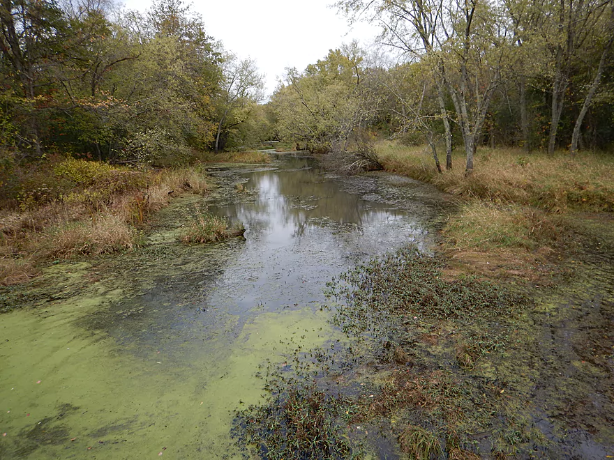
Once Blue Mounds Creek enters, water quality is bad. A rare exception.
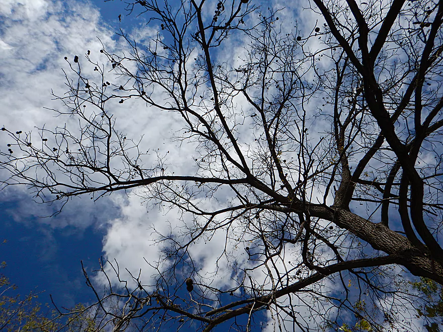
Walnut tree silhouette
Lot of ripe walnuts
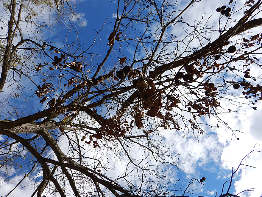
A snack for the road
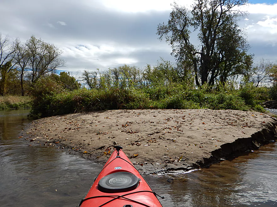
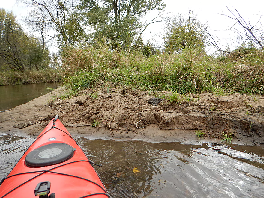
One of multiple sandbars
Cool insect…poorly pictured
Another nice micro-sandbar
Not sure if somebody drove into the creek?
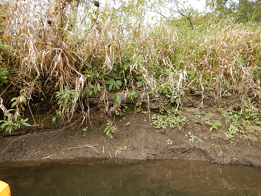
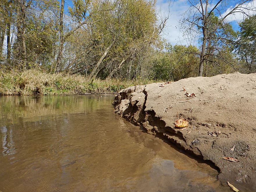
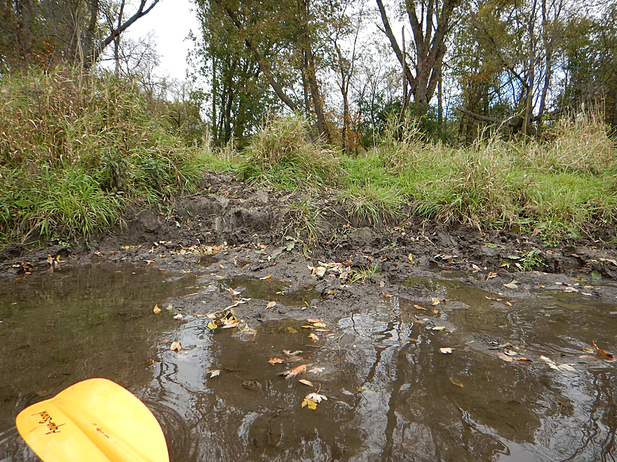
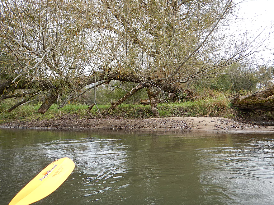
Mud banks–a common scene on the creek
Snowmobile bridge
There were a number of these on the trip
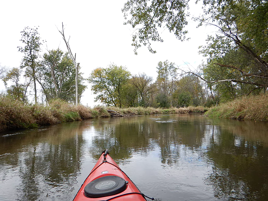
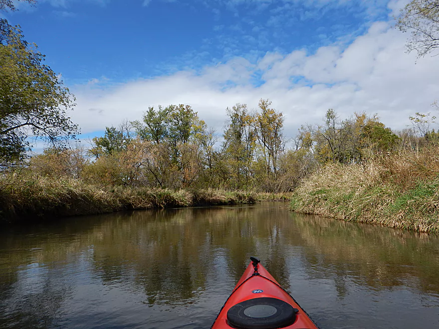
Much of the creek was a big slow channel
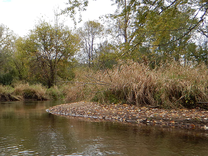
A leaf-sprinkled sandbar
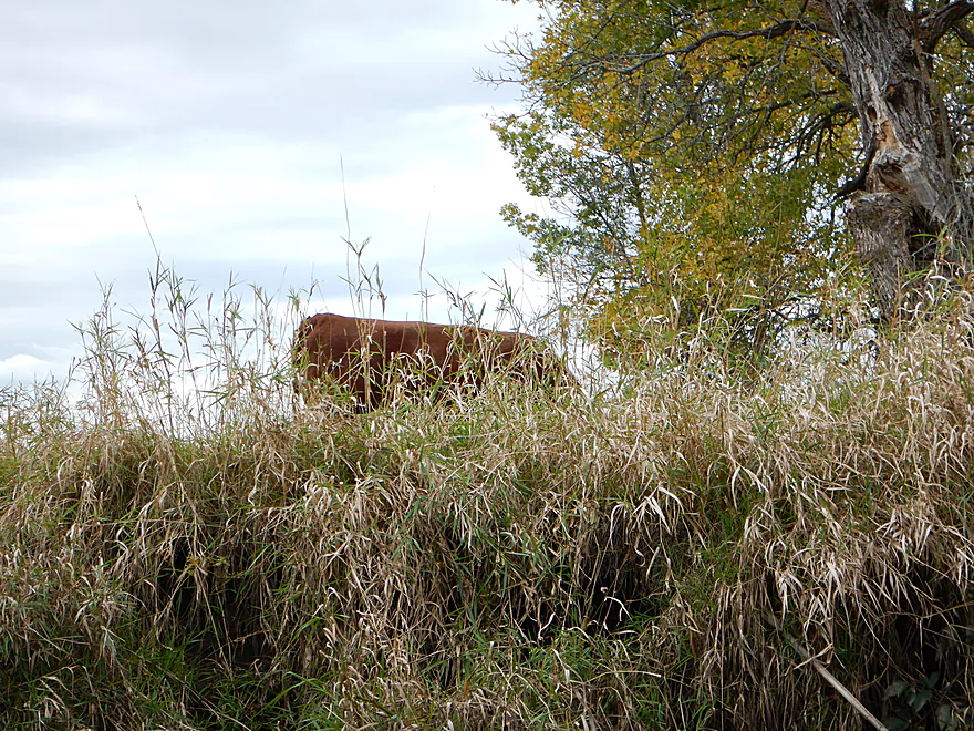
What happens when cows have access to streams
Special water access fence that cows ignore and go around
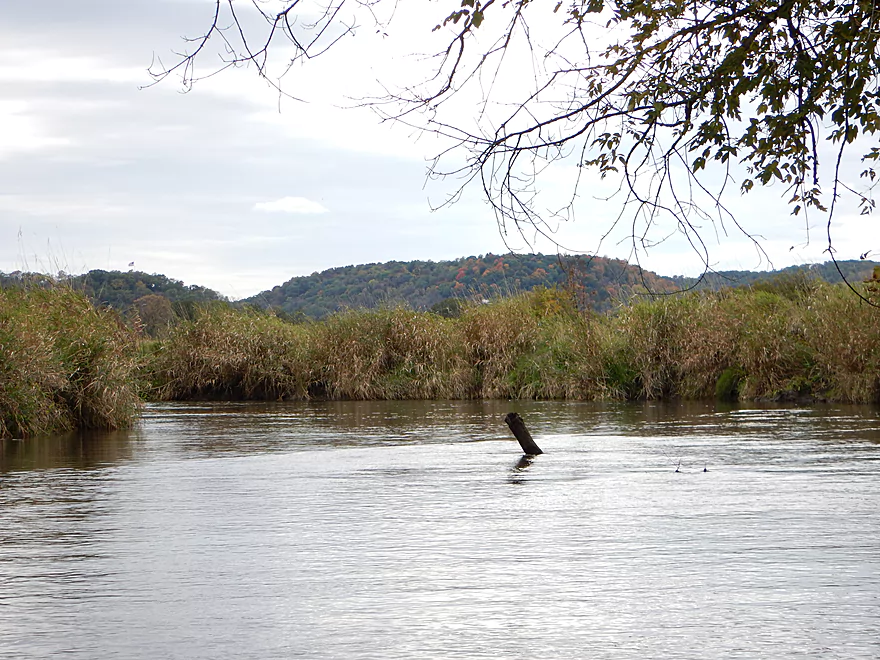
Occasional hilly vistas
Not a sandbar for picnics
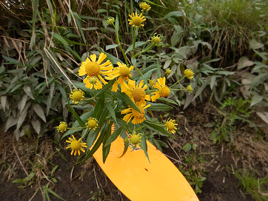
Sneezeweed
Leaves would make this a nicer summer trip
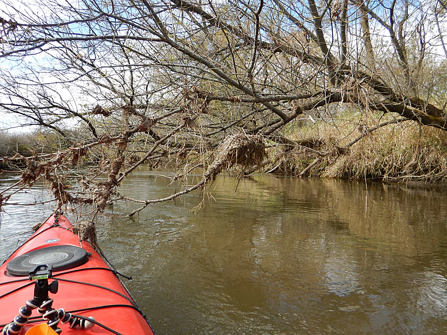
A nasty tangle made navigable by locals
Most of the sandbars are quite small
Ripe nightshade berries
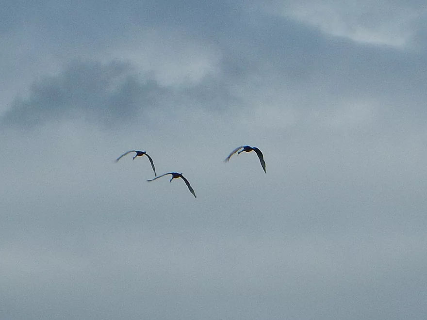
Sandhill cranes flying south
A giant troll club
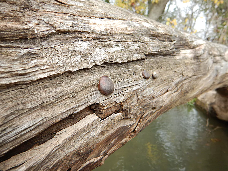
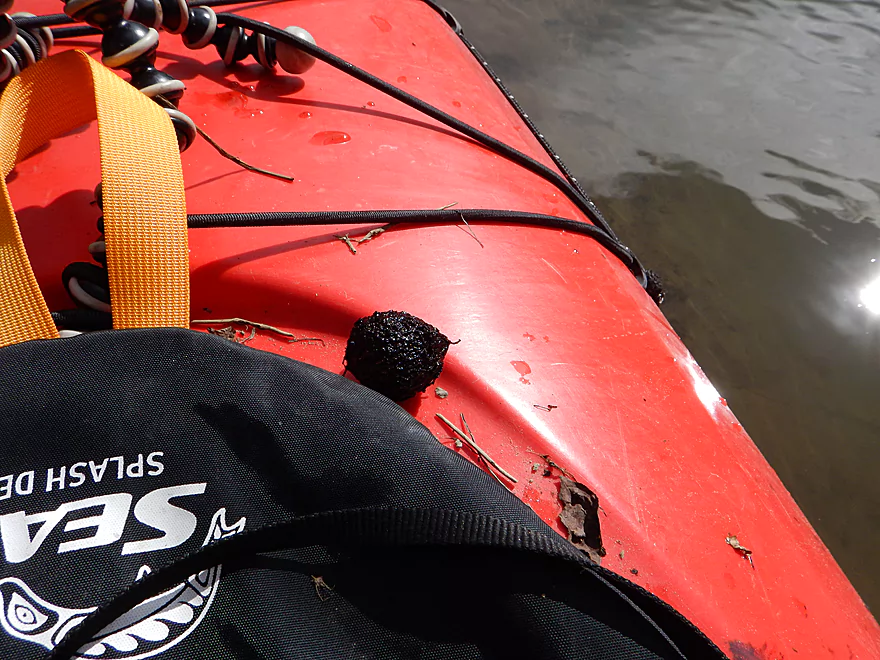
Coal fungus (also called carbon balls)
Great clean-up work
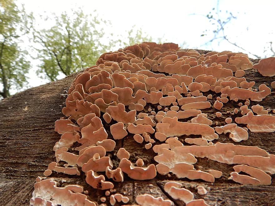
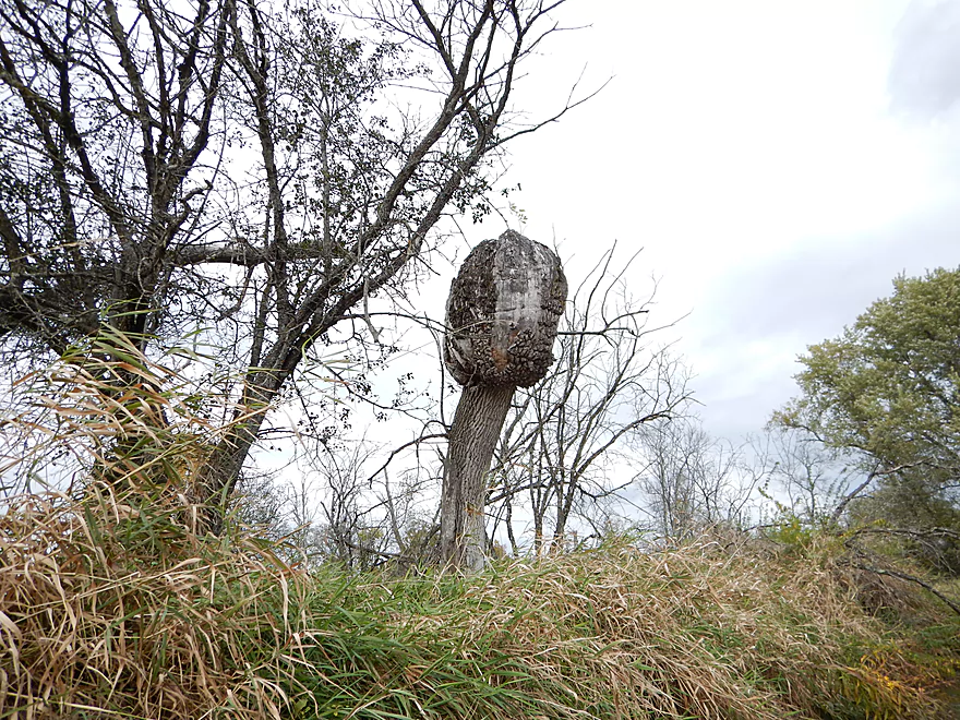
High-rise condominium for fungi
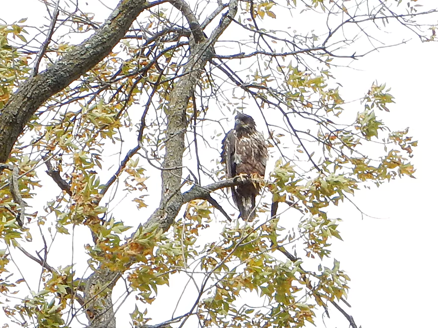
An immature bald eagle
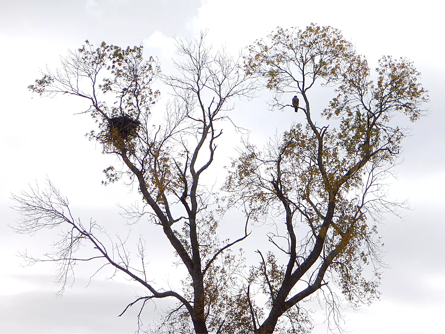
And the nest where it probably hatched
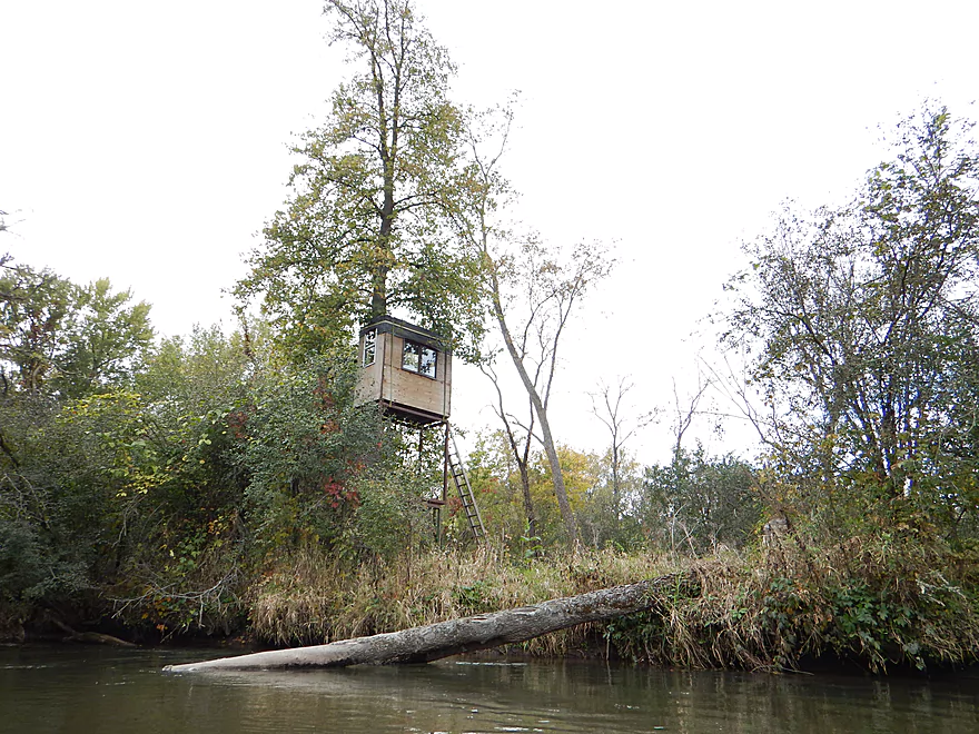
One of multiple hunting blinds on the creek
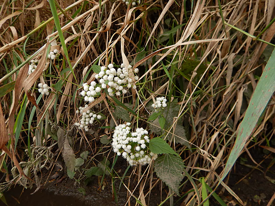
White snakeroot–one of the last wildflowers of summer
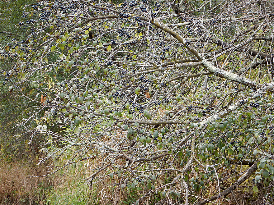
Buckthorn fruit
Another snowmobile bridge
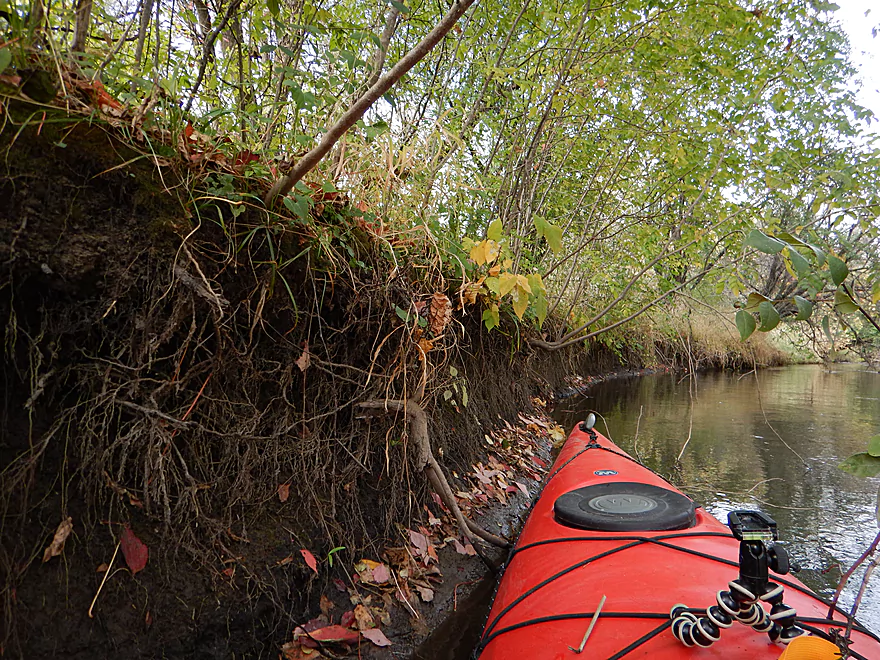
Eroded roots and fallen leaves
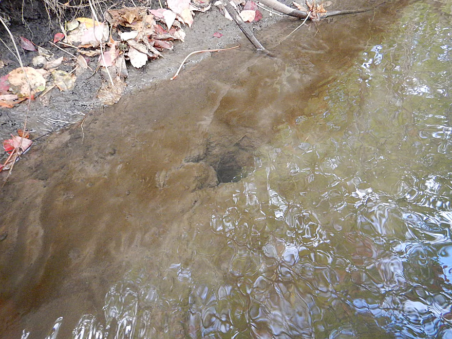
Home for somebody (a beaver backdoor?)
Caddisfly larva with mobile cases
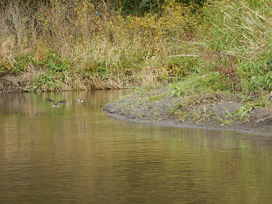
Some kind of shore-birds
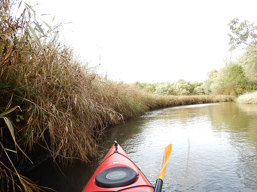
A wall of reed canary grass
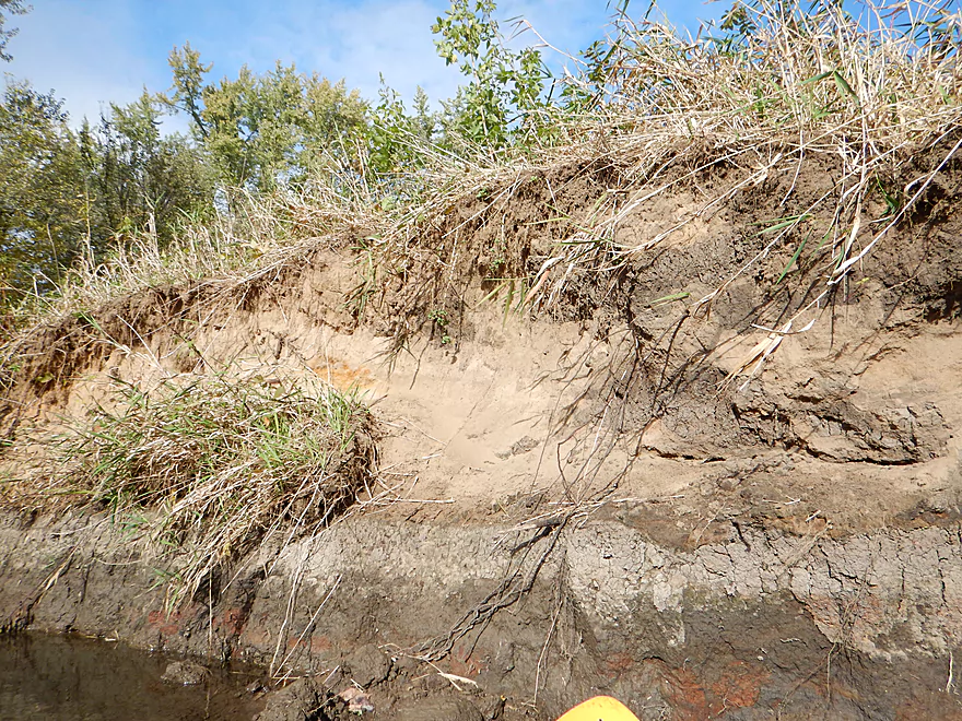
Sand banks with interesting stratification
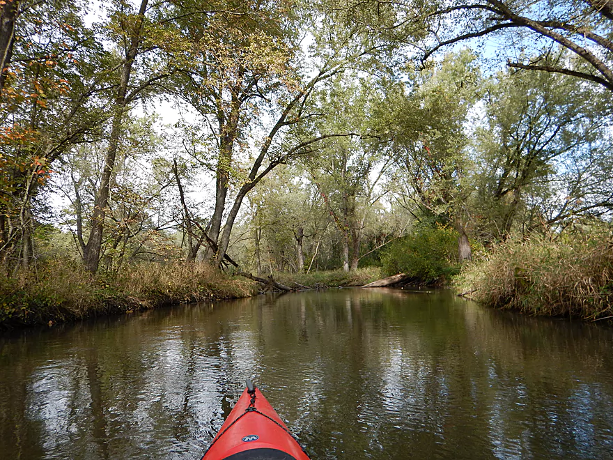
Peaceful scene
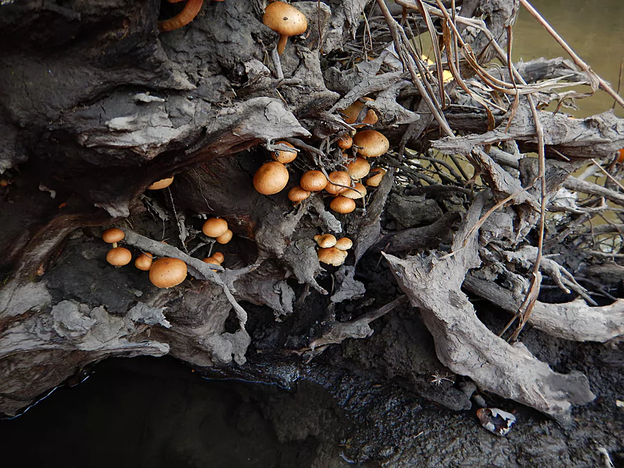
Riverside mushroom colony
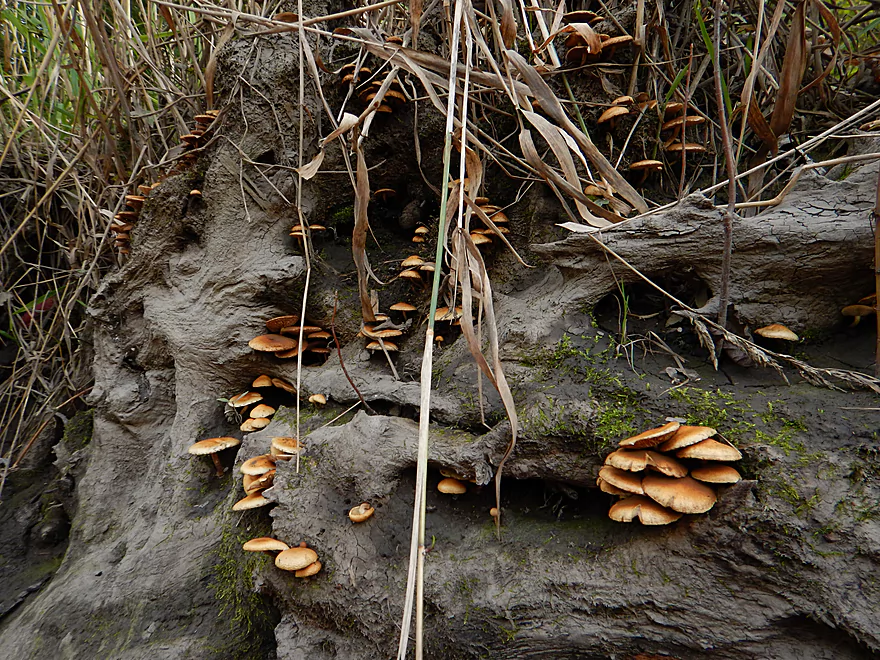
Mushrooms of a different kind
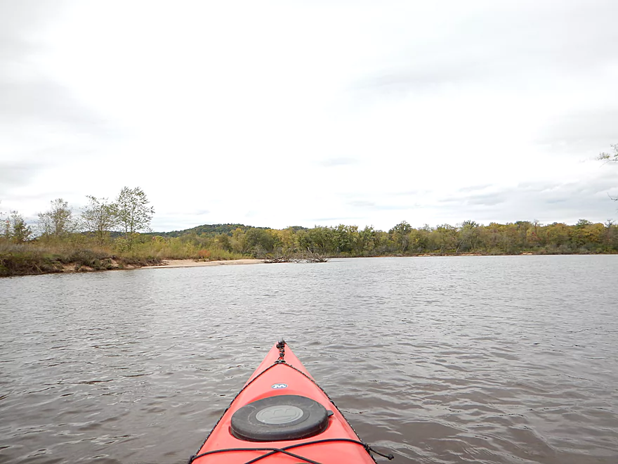
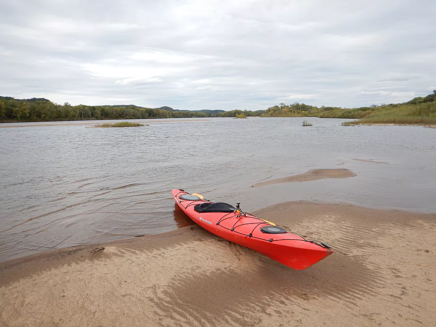
Just about to the Wisconsin River
Ahead is a large island–you can go left or right
If left (the smaller channel), there is a tricky strainer in fast current
Still going around the island
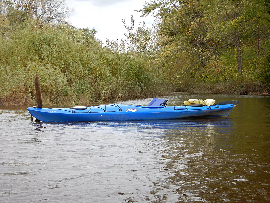
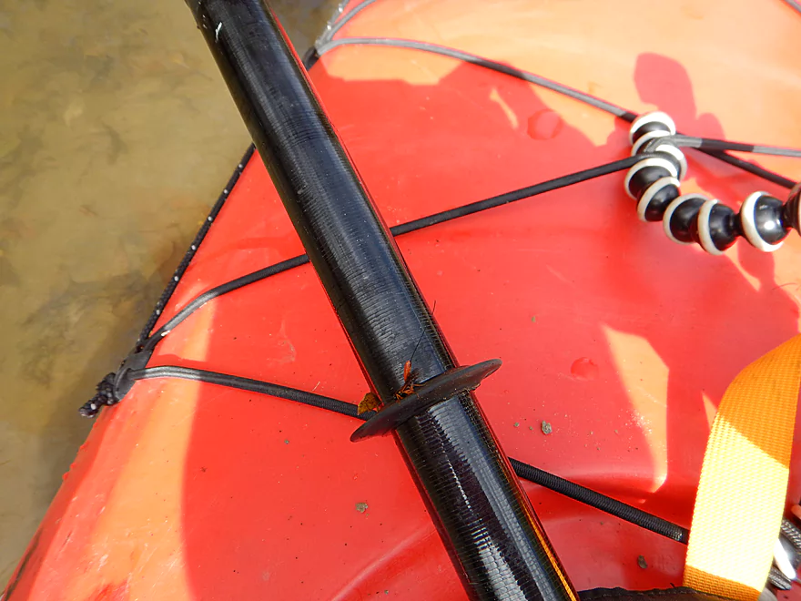
How NOT to secure your kayak (notice the stern)
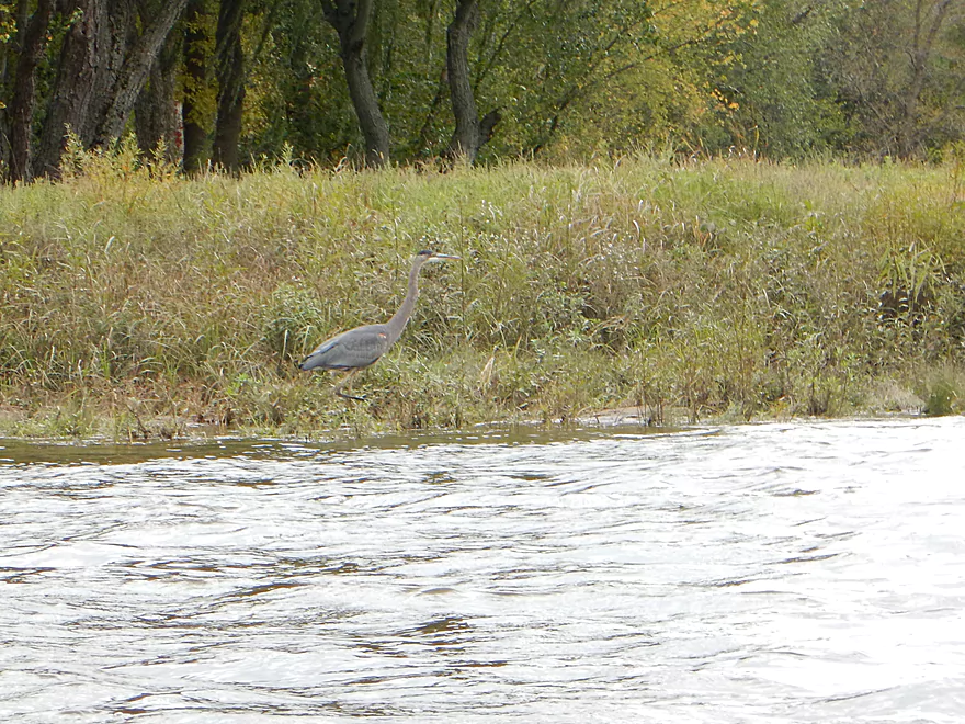
Great blue heron
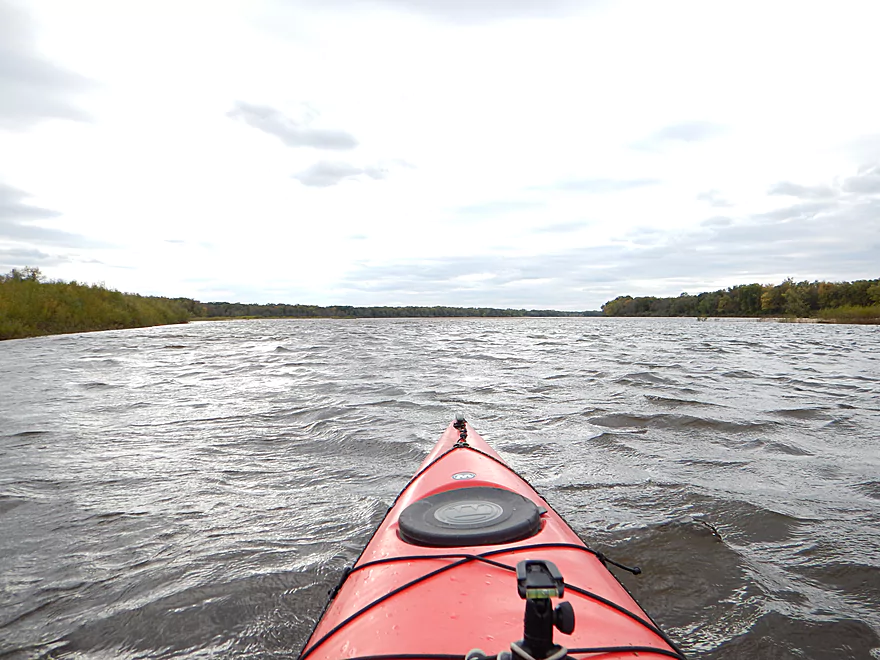
So used to small rivers, this seems like the big ocean
Wisconsin River has very scenic bluffs
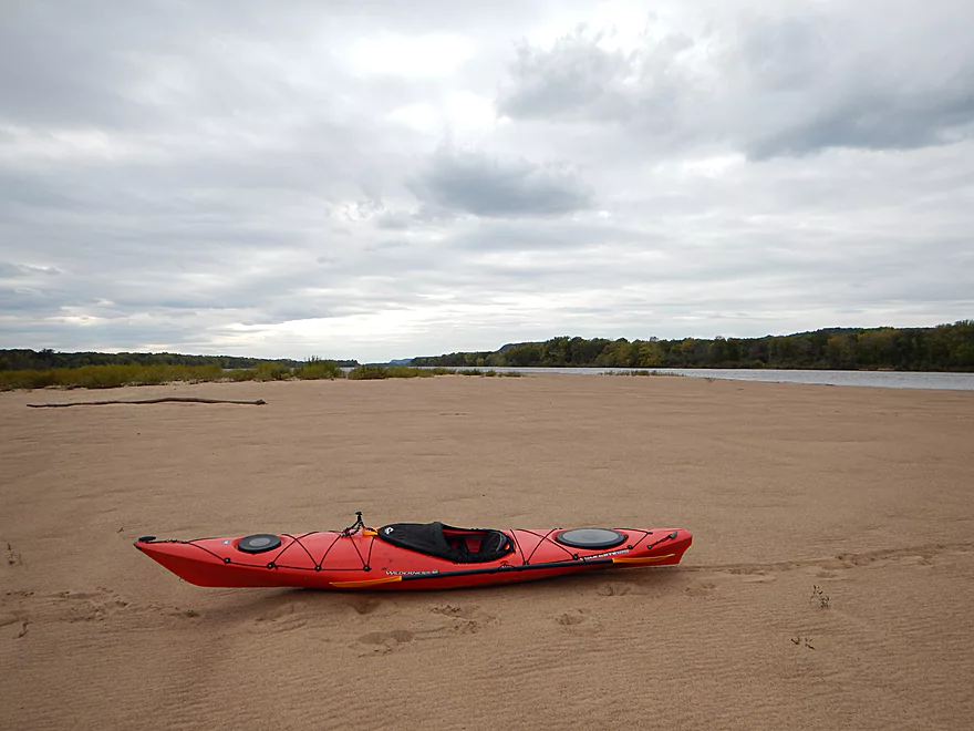
Time for a sandbar break (and this is a nice one)
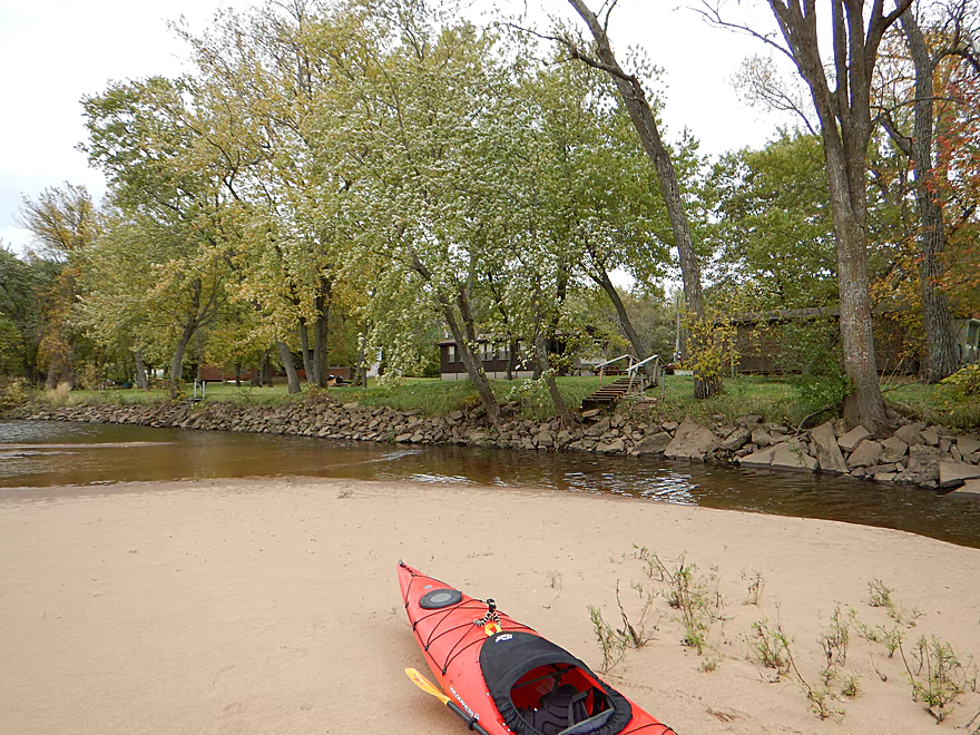
Would not want to underwrite these homeowner’s flood insurance
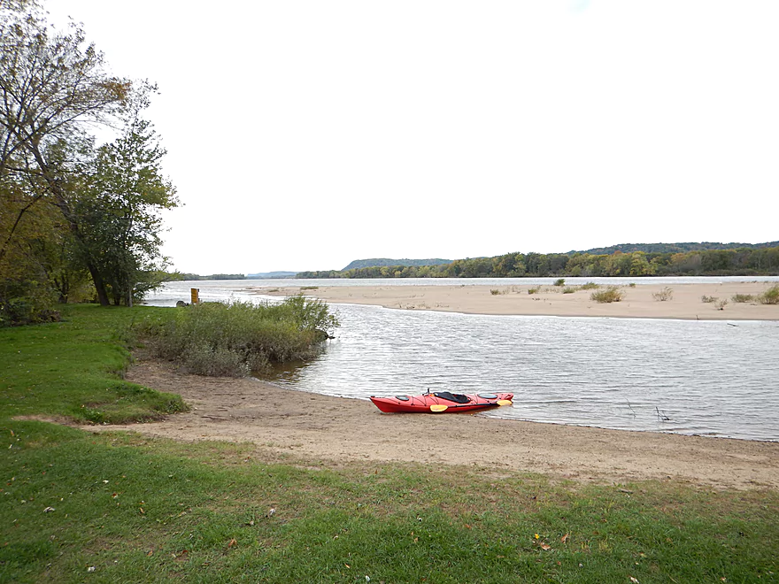
The Arena public landing is very good
Wisconsin River was definitely faster than Blue Mounds Creek
This was actually the old channel of Blue Mounds Creek before it cut a shortcut to the Wisconsin
Blue Mounds Creek

A relatively new water-trail due to some fantastic clean-up work by the locals, but while the creek is worthy of consideration, this was a relatively disappointing paddle given how much I liked the upper sections of this watershed (namely, Black Earth Creek).
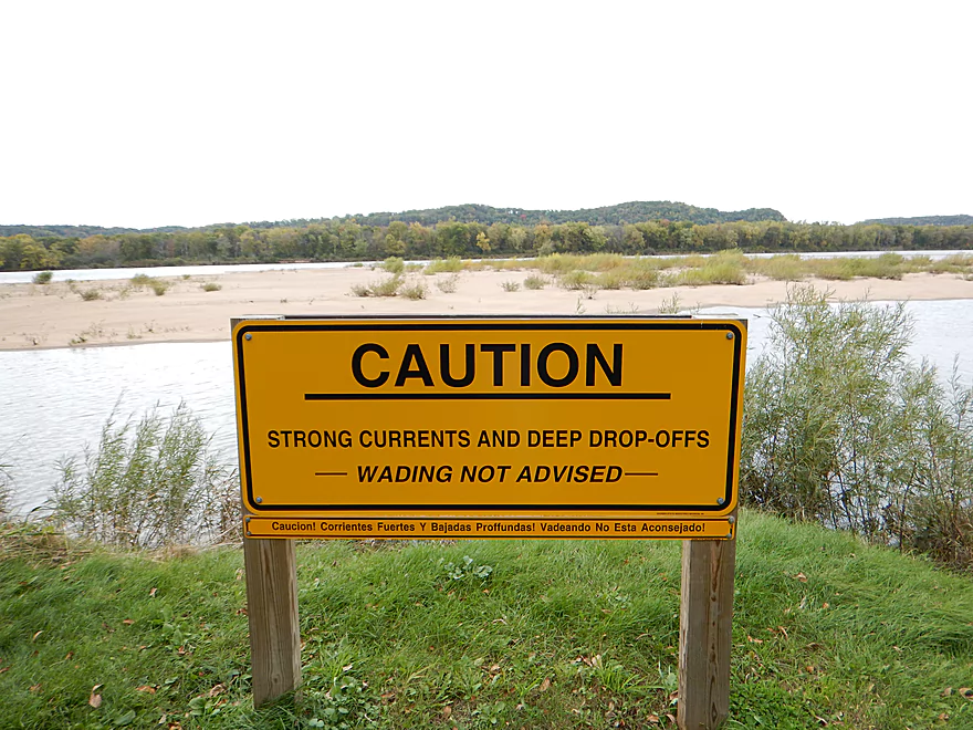
Pretty good put-in at Blynn Road. Access will be on the southeast side of the bridge. There is a nice mowed area on the shoulder for parking and a beaten-down path that leads to the water and a nice launching area. Warning: there is a barbed wire fence somewhat buried on the ground by the shoulder, so be careful not to drive or step on it.
While technically somewhat close to the major liveries on the Wisconsin River, I do not know if they service this launch. If curious, you can see a complete list of liveries here.
Otherwise, this is an easy bike shuttle. Pretty flat, only 4.67 miles and mostly low traffic except for busy Hwy 14 (which isn’t too bad because the shoulders are so big and well paved).
At 36 CFS on the Black Earth Creek gauge, there was plenty of padding to spare and I could have gone at a much lower flow rate. I suspect the creek never gets too low for paddling and has a pretty consistent flow rate because the headwaters are largely spring-fed. Levels can get high after a rain though and my very rough guess is that 65 CFS might be too high for an enjoyable paddle. The current was disappointingly slow relative to the upper sections of Black Earth Creek. Not exactly Lemonweir slow…but more so Baraboo River slow.
Mixture of sand and mud for the substrate. Water quality was good for Black Earth Creek, but soon Blue Mounds Creek takes over and water quality degrades significantly.
Some exotic aquatic insects, eagles, geese, ducks, cranes, shorebirds and deer. The banks were mostly lined with invasive grasses (typical of most southern Wisconsin rivers). Some tree cover here and there, but mostly pretty open. Some cool fungi live on this creek (check out the photos).
A quick clarification on semantics. While this trip is labeled Blue Mounds Creek and this is technically true, in a sense it is more accurate to refer to this as Black Earth Creek. I put in at Blynn Road, which is clearly Black Earth Creek, but soon (by the railroad bridge) Blue Mounds Creek joins in and, despite being smaller, takes over the namesake of the combined creeks to the mouth.
The creek is actually nice until this point. Black Earth Creek is a great, clean watershed, but Blue Mounds is not, and when it enters, the creek character changes dramatically. The water gets much dirtier, current slows down, the banks become less “tidy,” and there is more random log debris in the water.
This is pretty large for a “creek” and I’ve paddled a number of rivers that have been smaller. This would certainly be appropriate for longer boats and canoes, whereas I’m not sure the upper sections of the creek would be.
On the plus side, the creek has a bit of character with its twists and turns–but doesn’t have anything super exotic or unique going for it.
One of the highlights will be reaching the creek mouth at the Wisconsin River and paddling on it for a short stretch before reaching the Arena public landing.
I don’t want to sell the creek short though, and if you’re looking for a new adventure and live in the tri-county area near Madison, it is worth checking out (although I would recommend the upper sections of Black Earth Creek first instead). Others have really enjoyed this stretch and I could be biased because of the cold, windy weather I faced and the lack of leaves. This could perhaps be totally different if paddled in the summer instead of the fall.
As an interesting aside, you may note that the Google road map view and satellite view do not correlate well, as this creek is very active in re-routing itself. The most significant route change is maybe a half mile from the mouth at the Wisconsin River where the creek used to (and most maps still show this) parallel the Wisconsin River for a couple miles before finally emptying well downstream of the Arena landing. In talking with John Wick, he said that plat maps going back to 1970 only show this old channel, but he knew something was different when the water become stagnant by the local bridge. After a little bit of scouting, he was able to confirm that, sure enough, Blue Mounds had cut a shortcut to the Wisconsin, which is the main channel to to this day. This was actually a significant re-routing (of maybe 4 miles) for a creek of this size. After scouting the old channel myself, I certainly don’t think it is navigable and looks very swampy with a lot of deadfall. Don’t worry (as I was) that you’ll accidentally turn off on the old channel by mistake. It is significantly smaller and lacks the current that the main channel does.
Almost none, and this is remarkable. This section used to be quite the tangle, but thanks to the hard work of locals, all the log jams in the creek have been cleared out and it was clear sailing (as of October 5th, 2014). Once you join up with the Wisconsin River, there is a large island and an inner channel that is a continuation of sorts of Blue Mounds Creek. In this channel, the current is quite pushy and there is a tricky strainer to contend with, so stay on your toes once you reach the mouth. You can avoid all this by just paddling north around the island to enter the main channel.
Great take-out at the Arena public boat landing. This is a large landing and I’m sure is quite bustling in the summer, but was kind of dead when I used it. There are no facilities at this landing, so plan accordingly. Getting to the landing is a bit of a trick. There is a large sandbar directly in front of the landing and if you approach from upstream on the inside channel, you may not have enough depth to reach the landing. Solution is simple…just paddle around the main sandbar in the main channel and you’ll be fine.
Unlike upper Black Earth Creek, the water is much dirtier and the banks much muddier. This seems to be from agriculture run-off, largely from upper Blue Mounds Creek. This is unfortunate, as upper Black Earth Creek has remarkable water clarity (during most times). You won’t see too many homes on the creek (maybe one shanty) until you reach the Wisconsin River. In all likelihood you will see and hear (as I did) many cows. There has been some effort to contain them, but for the most part they have free access to the creek. This has resulted in weakened banks that “bleed” good topsoil into the creek. The cows also defecate directly into the creek, which is most unfortunate (especially since the stream is a nationally recognized trout watershed). Would be nice to see the creek protected from cows with green space buffers.
The Wisconsin River is, of course, another great paddling option (it may be the most popular kayaking segment in the entire state). I cover this more in depth in my Prairie du Sac to Ferry Bluff review. I have been kind of remiss in only paddling one section of the lower Wisconsin Riverway and do have a lot of exploring to do.
A word or three about the Lower Wisconsin in general…. This is a very unique paddle relative to most other rivers and creeks in the state. It has extreme strengths and extreme weaknesses due to its immense size. On the downside, wind, sun, and waves can be an issue. It can also be a less interesting paddle because it is so large and straight it lacks the variation and contrast that smaller water bodies have. On the flip side…this is the BEST sandbar river segment in the entire state. They are huge, clean and great for camping (well, at low water levels). The lower Wisconsin also has terrific scenic vistas of the surrounding river valley bluffs and, for being a major watershed, has very little waterfront development, which is most appreciated.
The other nearby prospect to consider is upper Blue Mounds Creek. I think there are a lot of log jams on it, but satellite view shows a decent amount of open space. I know this part of the creek is popular with trout fisherman and if you know anything further in regards to its “paddle-ability,” leave a comment below. I suspect the West Branch off of KK to the Hwy K bridge might be best, but do not know for sure.
- Black Earth Creek Watershed Association – Terrific non-profit organization that works to protect and conserve the creek. Great info in their online newsletter section.
- Lower Wisconsin State Riverway Board
- Friends of the Lower Wisconsin Riverway
- Friends of the Lower Wisconsin Riverway – Facebook (very active)
Detailed Overview
- Upstream from N. Birch Trail: The creek is small, but might be surprisingly navigable during high water.
- N. Birch Trail to Stagecoach Rd: 0.5 miles. Creek here is small and wooded with possible congestion and a few jams.
- Stagecoach Rd to Cross Plains: 2.0 miles. An intriguing prospect that may now be viable because Black Earth Creek has grown in size. Starts narrow, rocky and wooded then opens up. Maybe 2-3 logjams. Stagecoach Rd may not be a good access as a "No Tresspassing" sign is on one side of the bridge.
- Cross Plains to Salmo Pond: 4.3 miles. Nice stretch. Half of this leg flows by the community of Cross Plains. One fence and one logjam to deal with but not major.
- Salmo Pond to Black Earth Community Park: 4.2 miles. Several fences to deal with, but all in all, one of the more underrated legs on the creek.
- Black Earth Community Park to Olson Road: 4.5 miles.
- Black Earth Community Park to The Shoe Box Landing: 1.5 miles. Nice stretch that passes through the outskirts of Black Earth. Might be a few minor logjams to sneak past.
- The Shoe Box Landing to Olson Road: 2.9 miles. Pleasant open stretch. This is a common "add-on" leg for those wanting to do the popular Mazo trip, but as a longer trip.
- Olson Road to Walking Iron Park: 3.7 miles. The best and most popular leg on the creek. Much of it flows around the outskirts of Mazomanie and though a nice woods.
- Walking Iron Park to W. Hudson Road: 1.1 miles. A small but great section that is recommended as an add-on to an Olson Road trip. This doesn't receive as much upkeep so paddlers may encounter a logjam or two.
- W. Hudson Road to Blynn Road: 4.4 miles. An ok section but nothing special. This leg while once clear, may now have a few surprise logjams.
- Blynn Road to Mouth at Arena: 6.8 miles. Technically now Blue Mounds Creek, this is the weakest section.
Trip Map
View Blue Mounds Creek in a larger map
Overview Map
Video
Photos Size: