
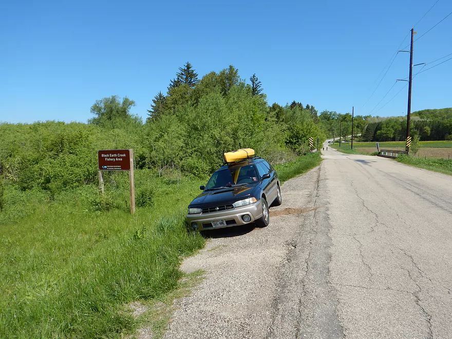
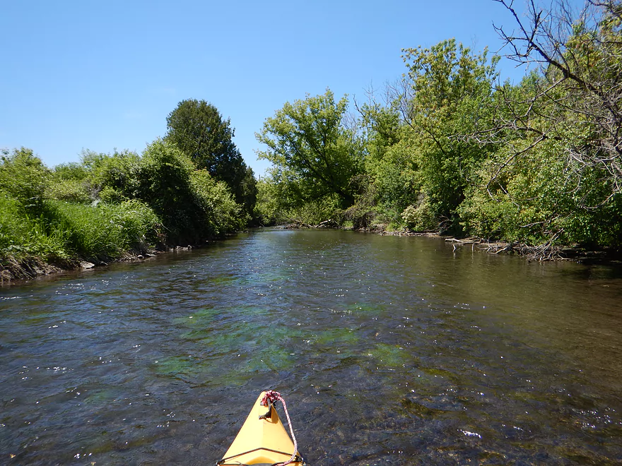
Put-in off Scherbel Road
Ok launching area
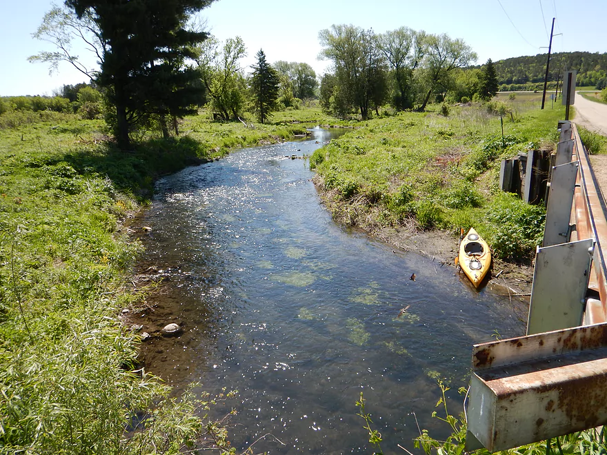
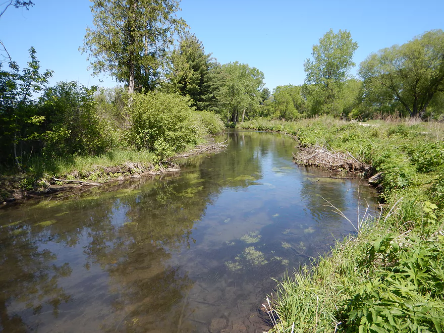
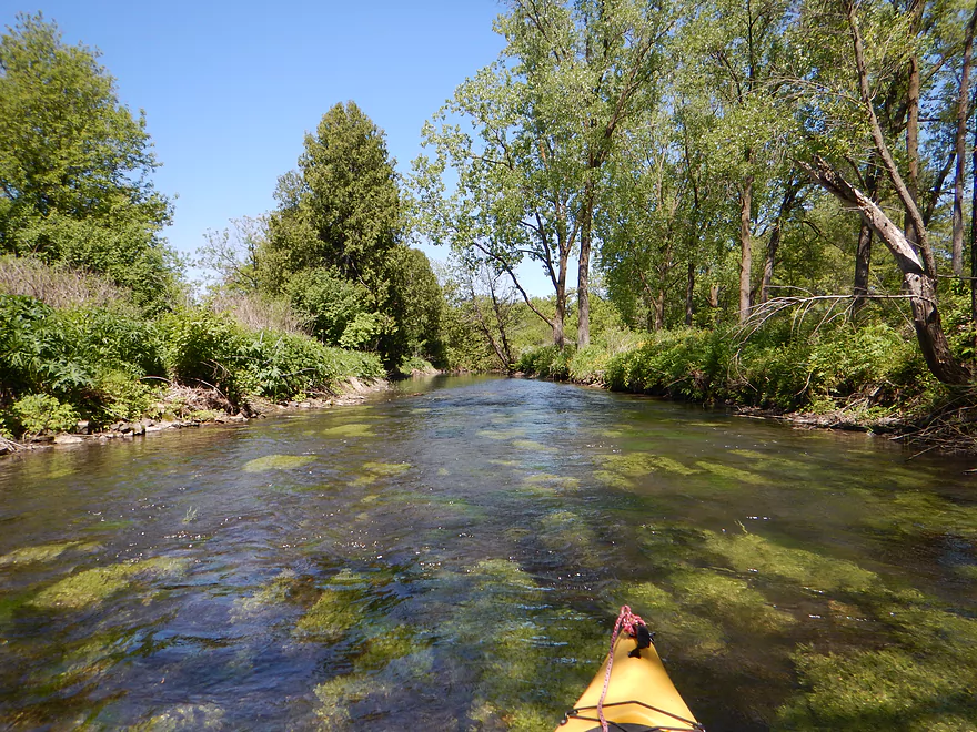
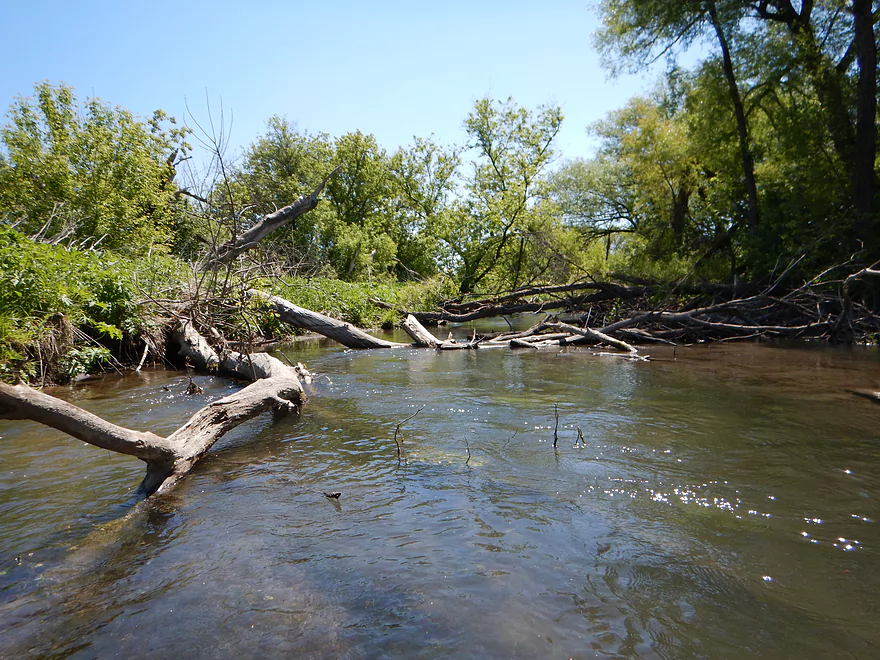
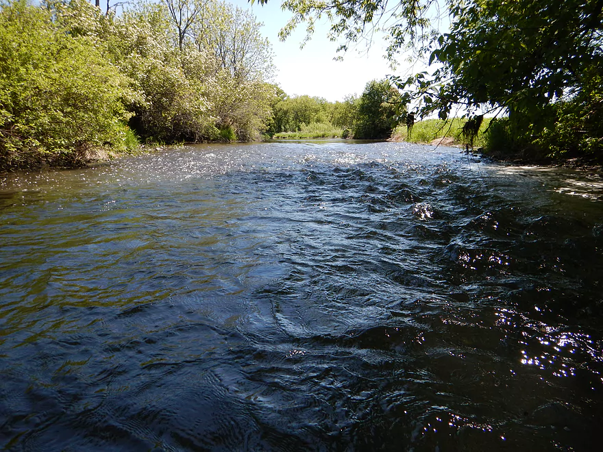
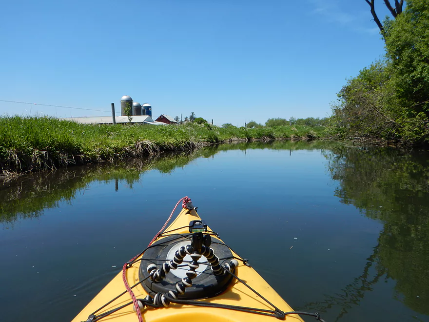
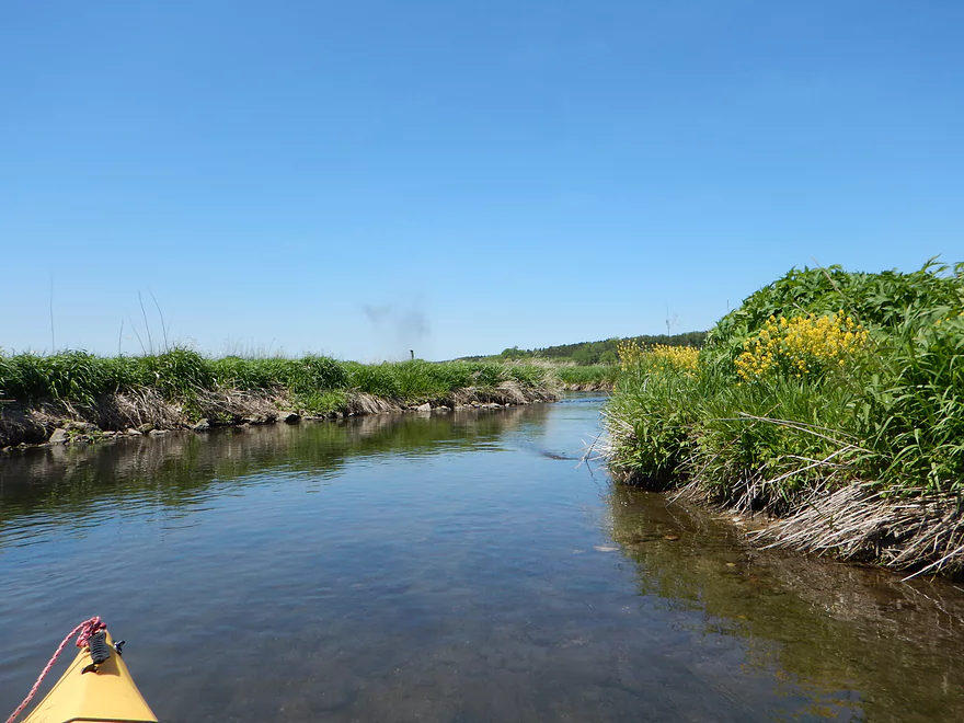
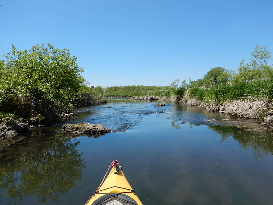
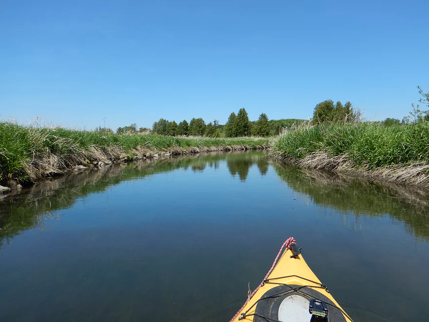
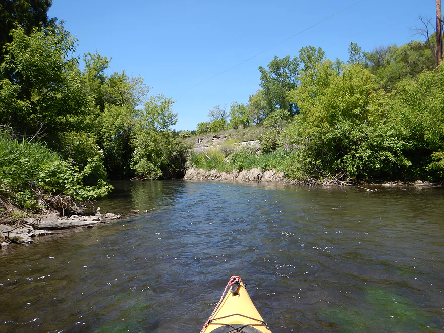
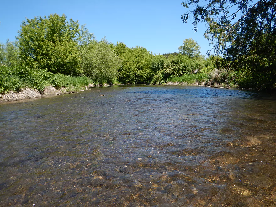
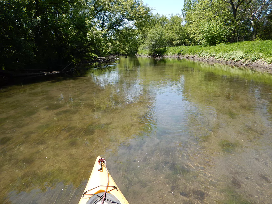
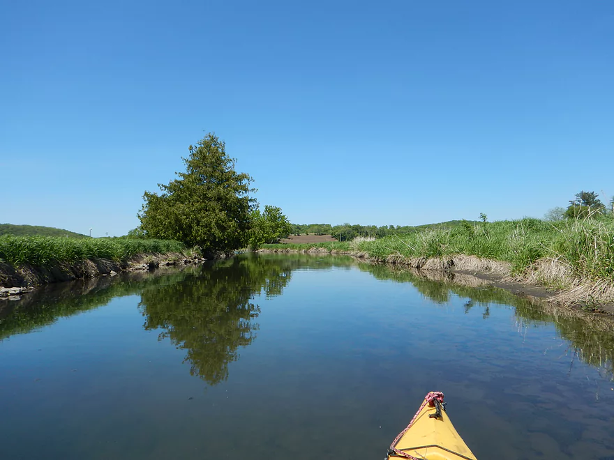
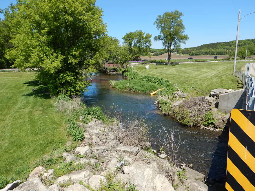
Scenic start
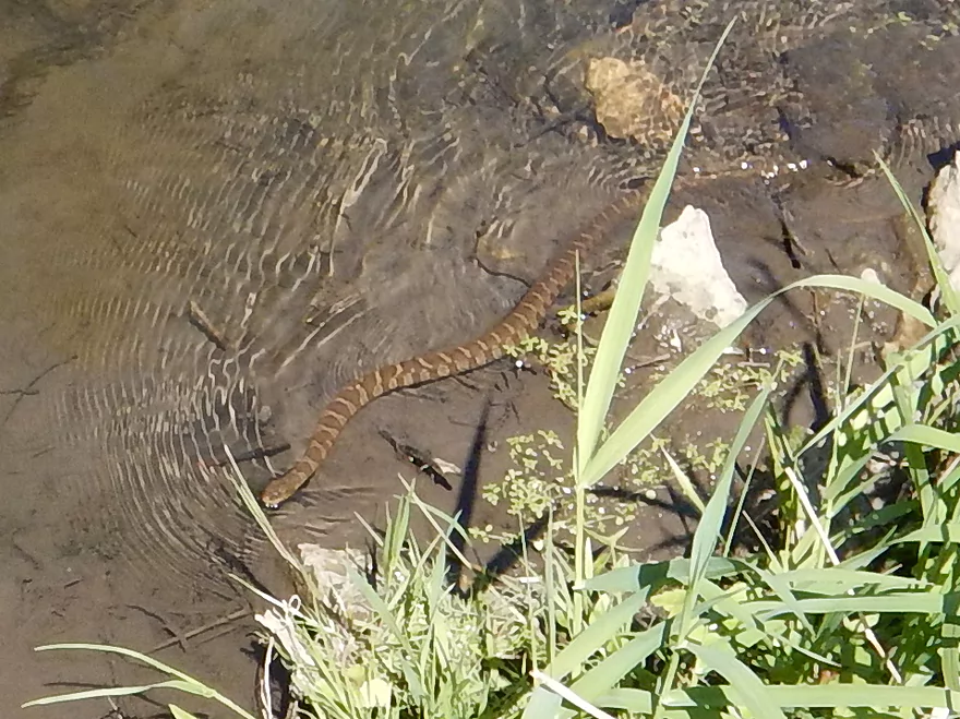
Northern Water Snake
Part of Salmo Pond County Park
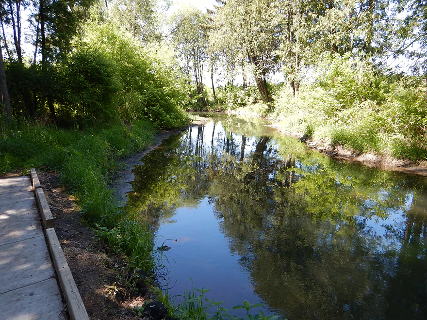
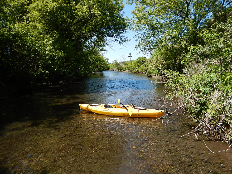
You could put in here instead
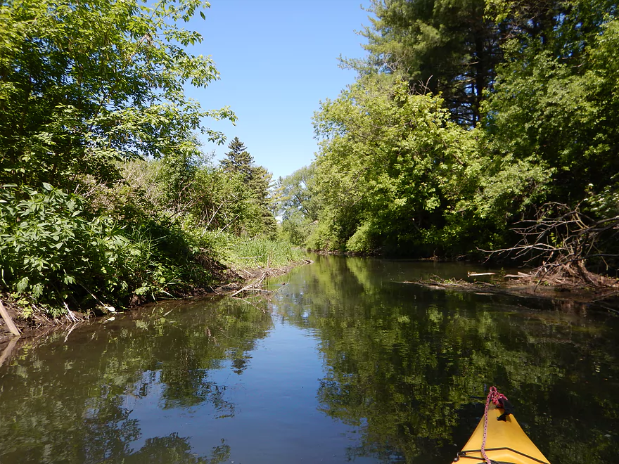
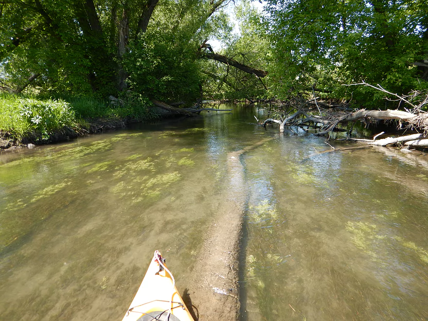
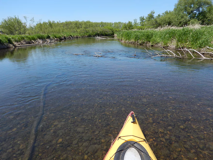
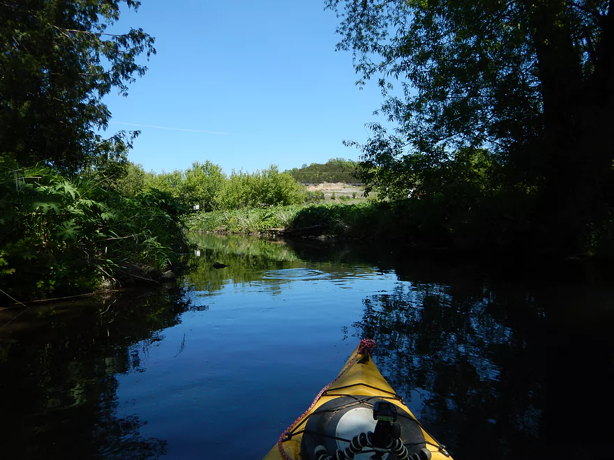
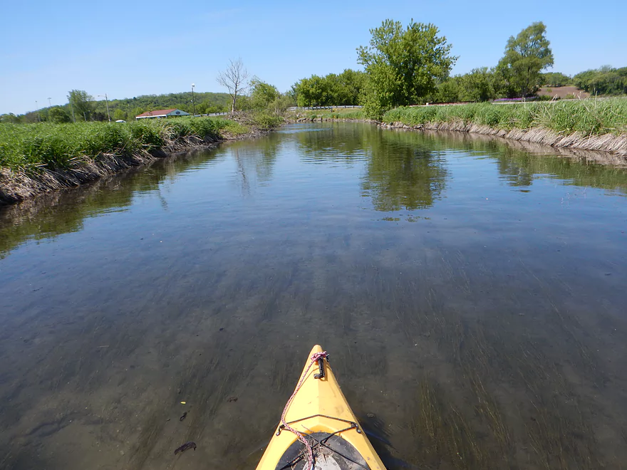
Cool brown/green contrast
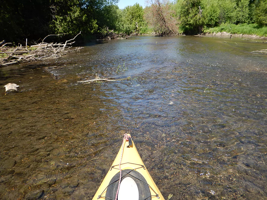
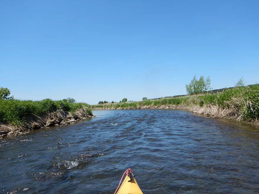
Wide creek means…
Time to get out and walk
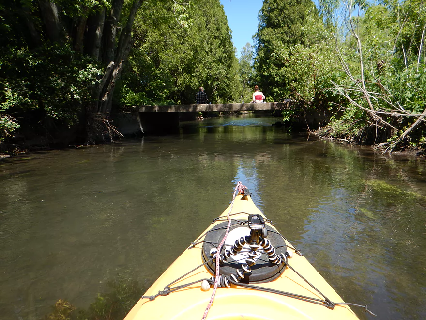
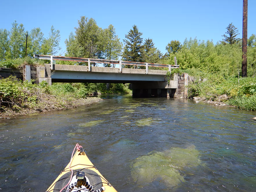
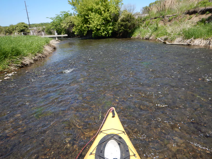
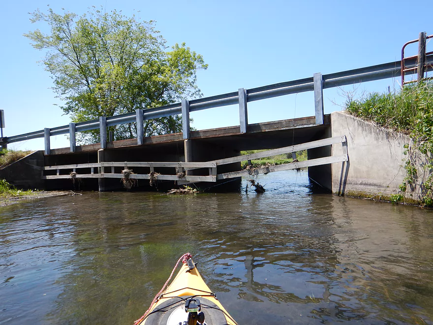
Approaching a low bridge

Saw many fish, only got a picture of this one
Some hopping required
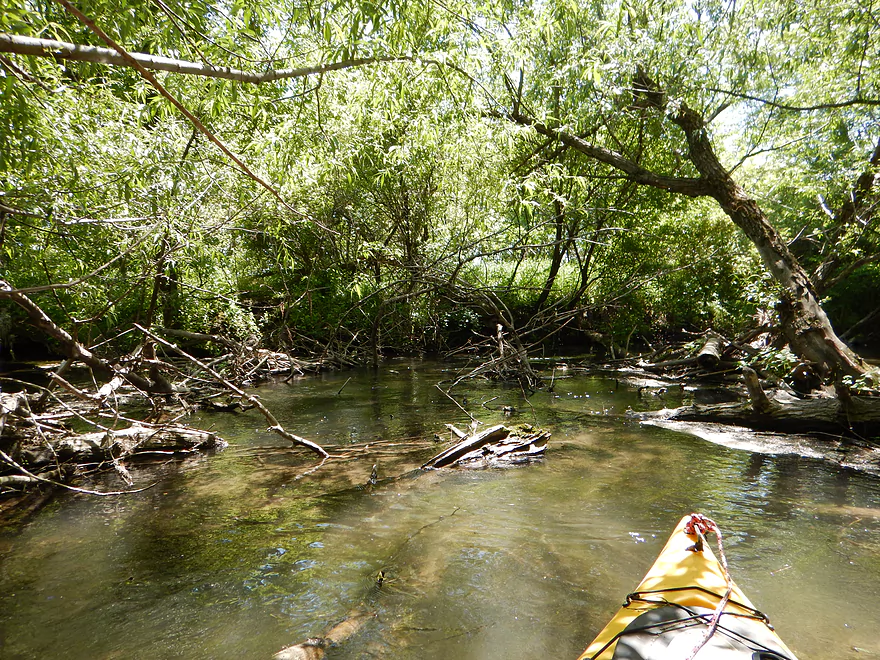
Some ducking required
More ducking required
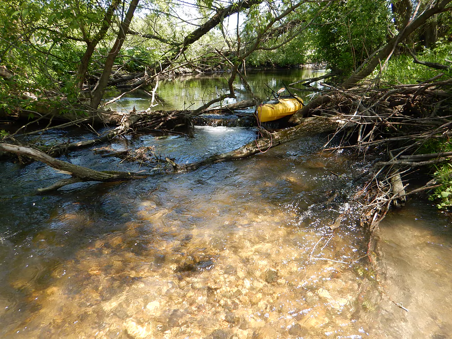
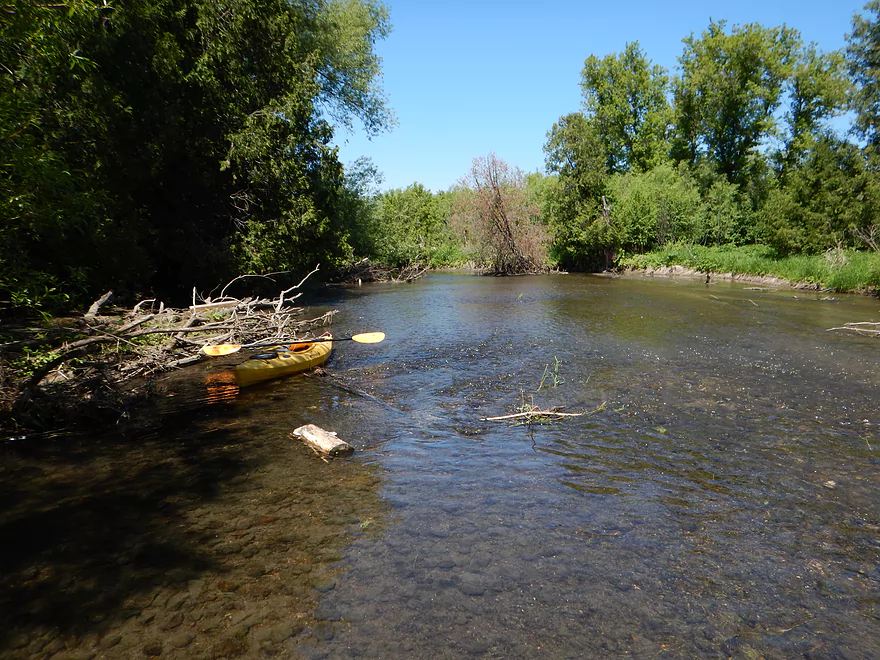
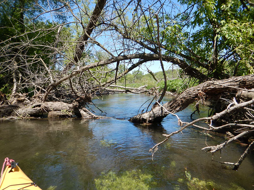
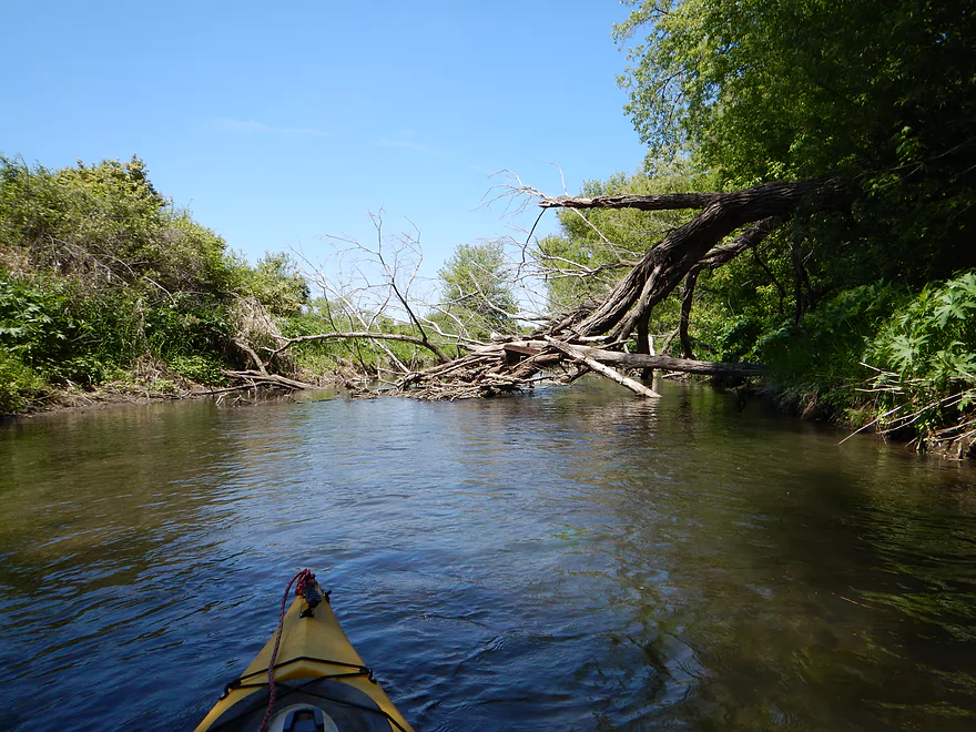
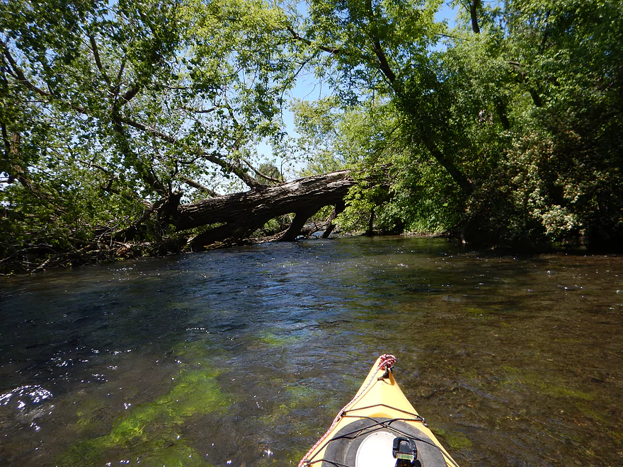
Only log jam I had to portage
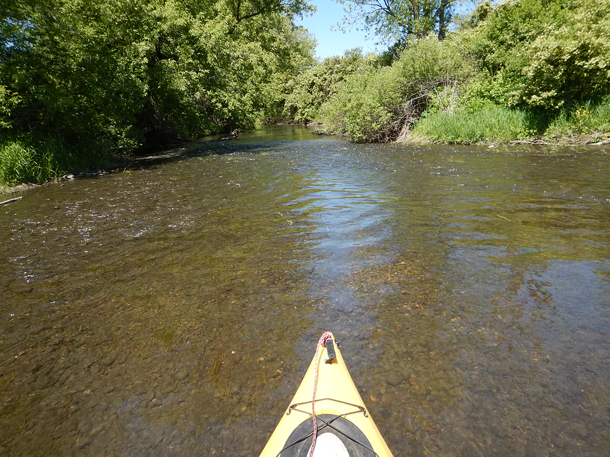
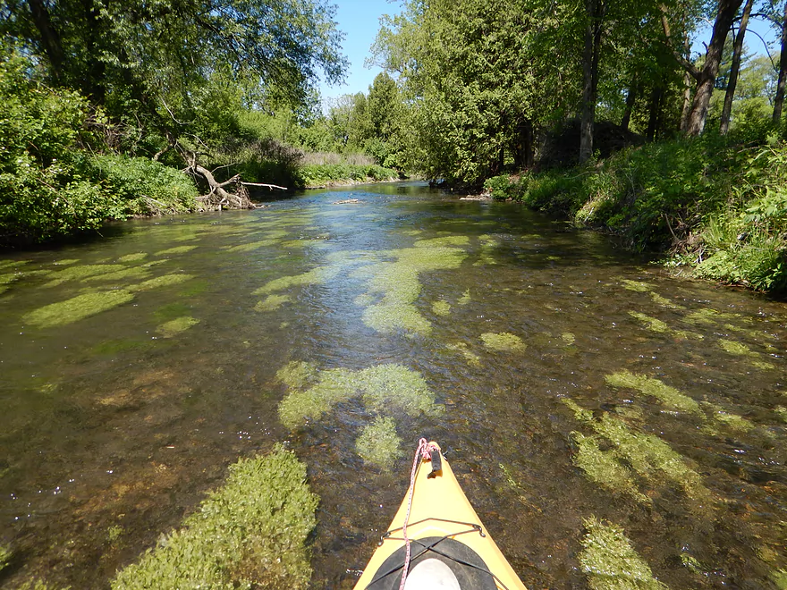
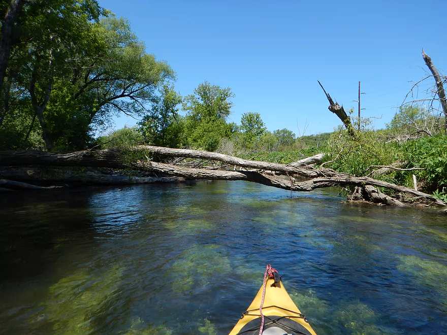
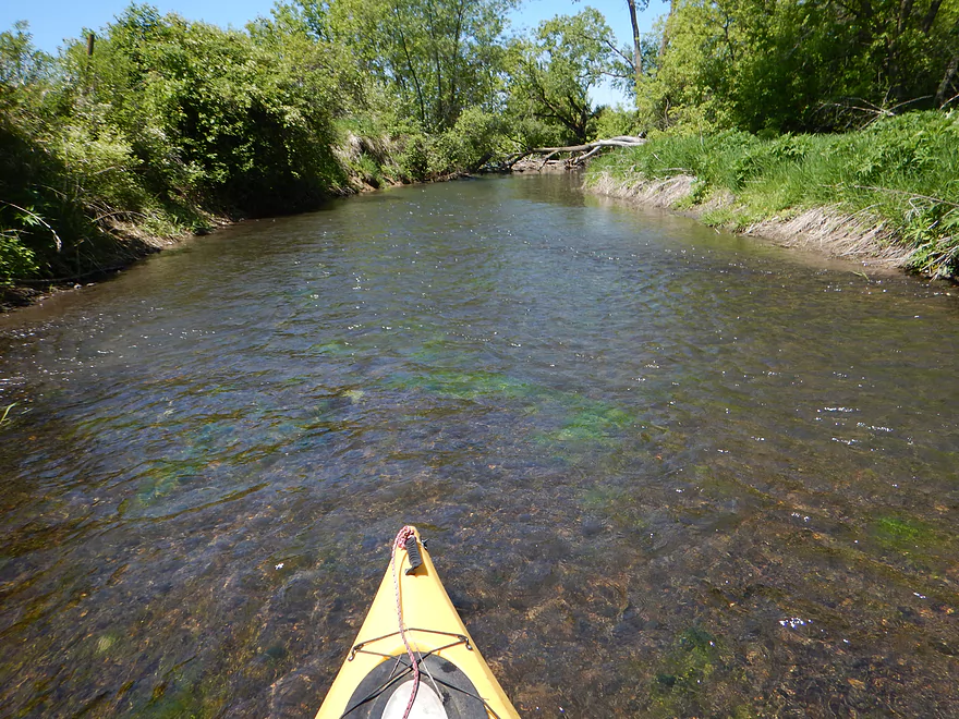
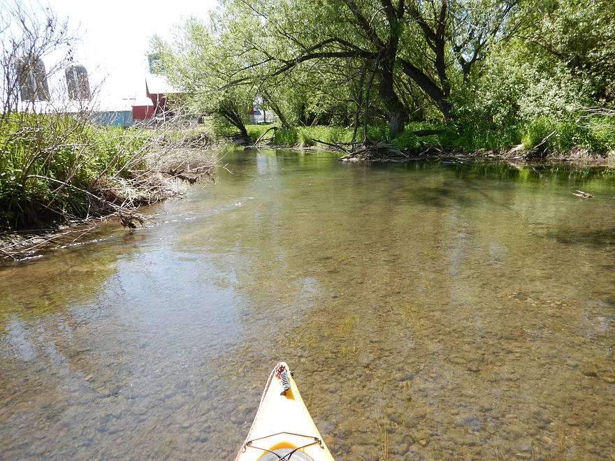
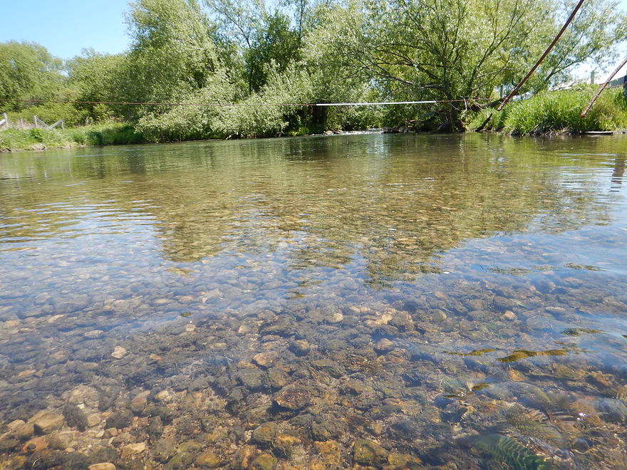
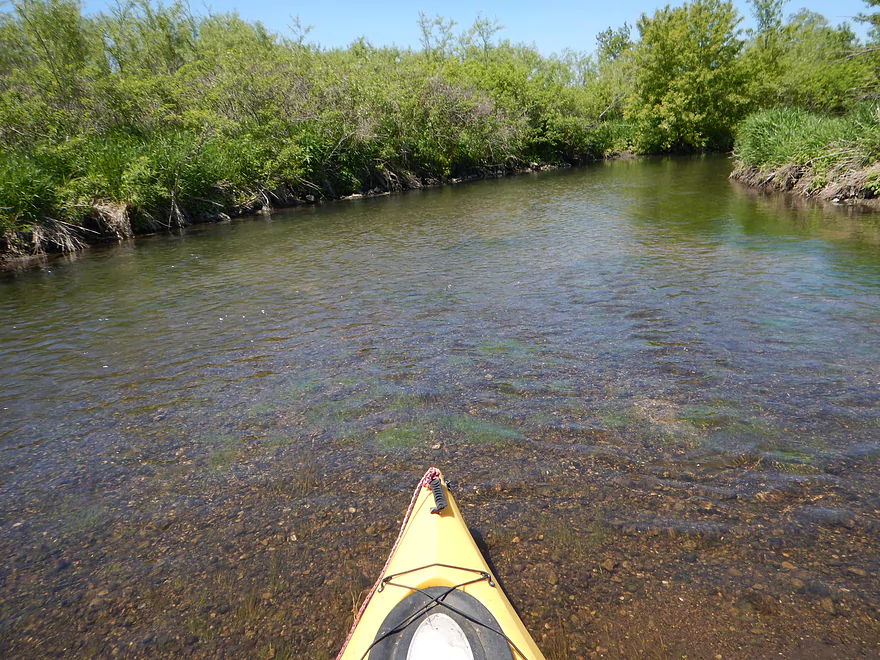
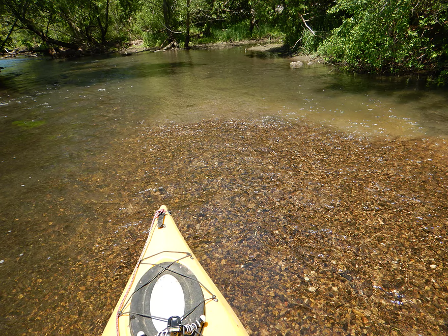
One of many clear, gravelly pictures
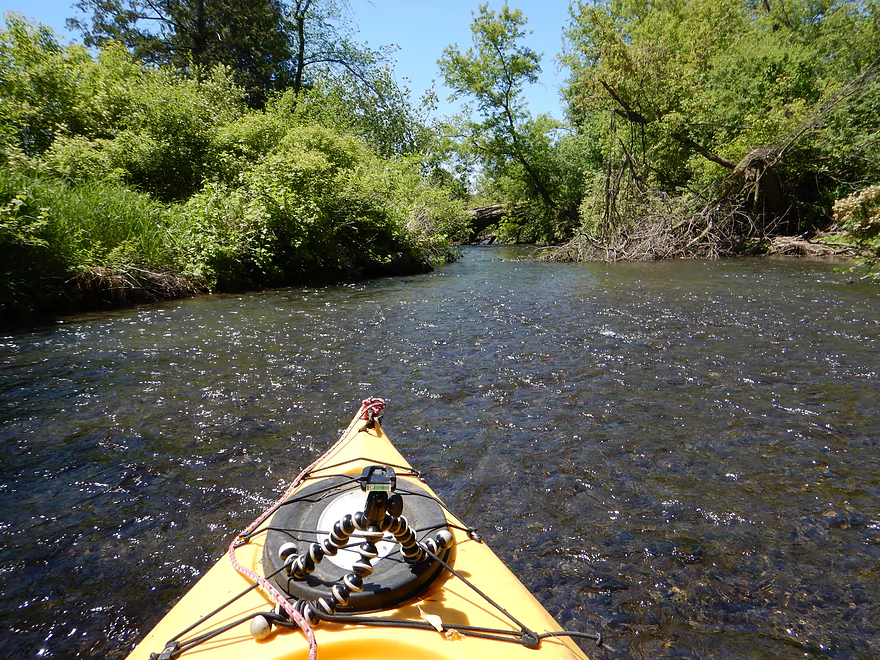
One of many riffles on the creek
A tight ducker
Another shallow area
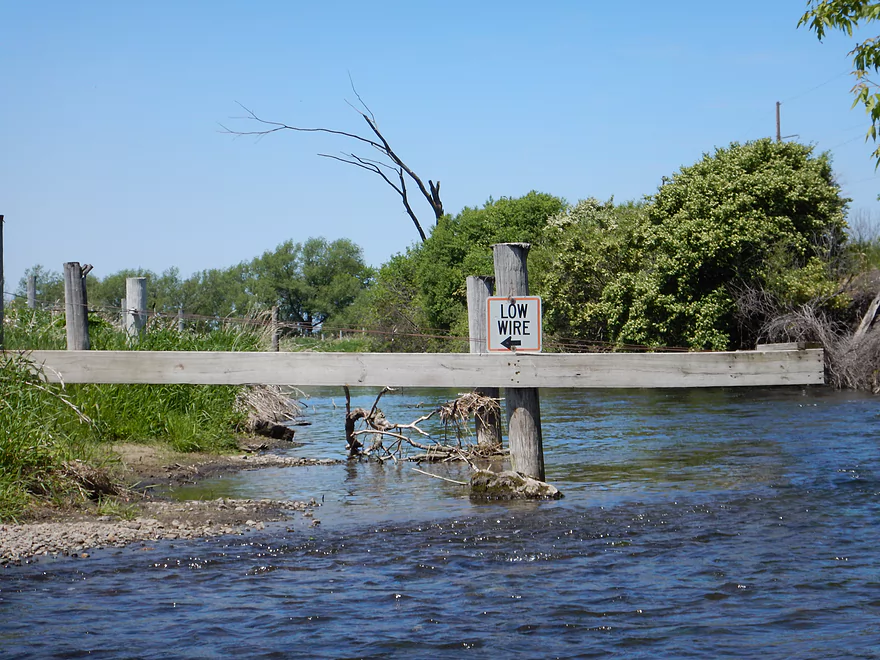
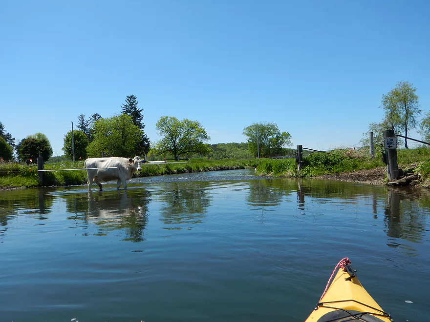
There was no wire here…perhaps removed?
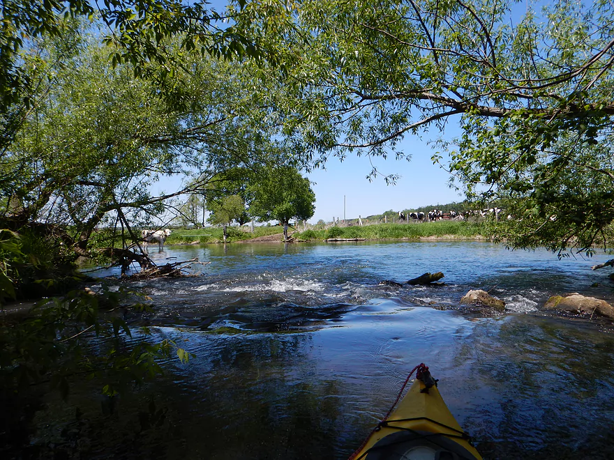
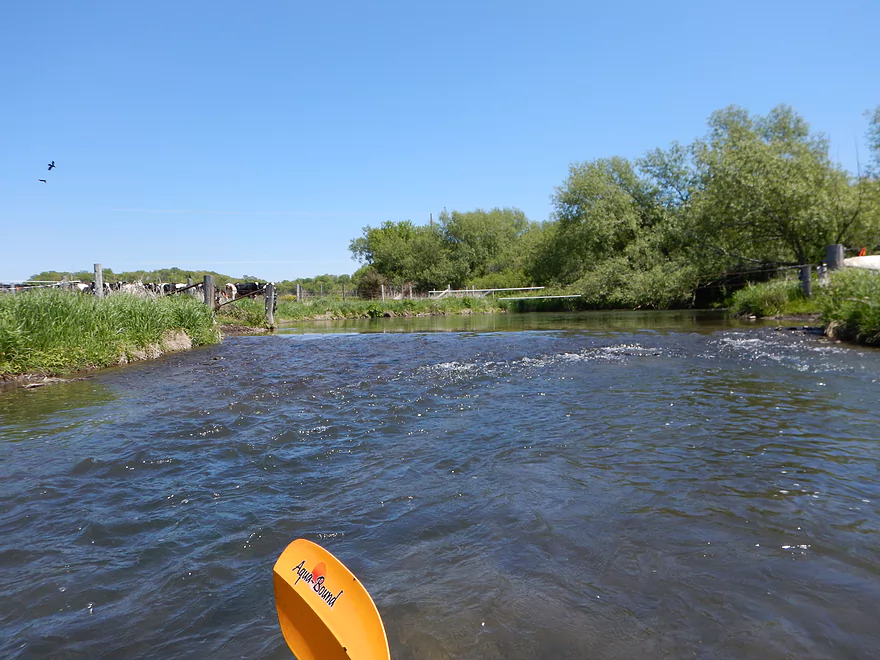
Cows watching me run the rapids
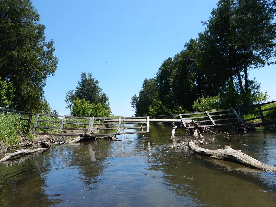
There is a fence to contend with here
Easy to duck under (just don’t get stepped on)
Attractive gravel
Very shallow and easy to get hung up here
S. Valley Road has a gate under it…ok to duck under though
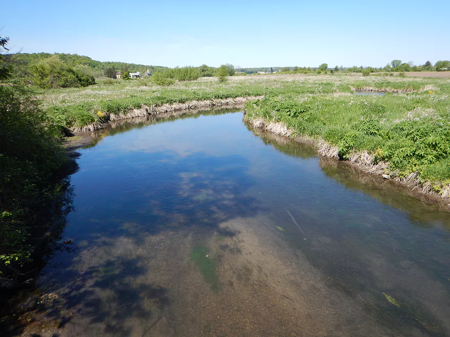
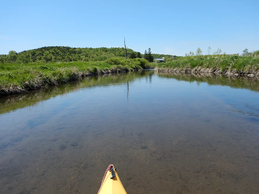
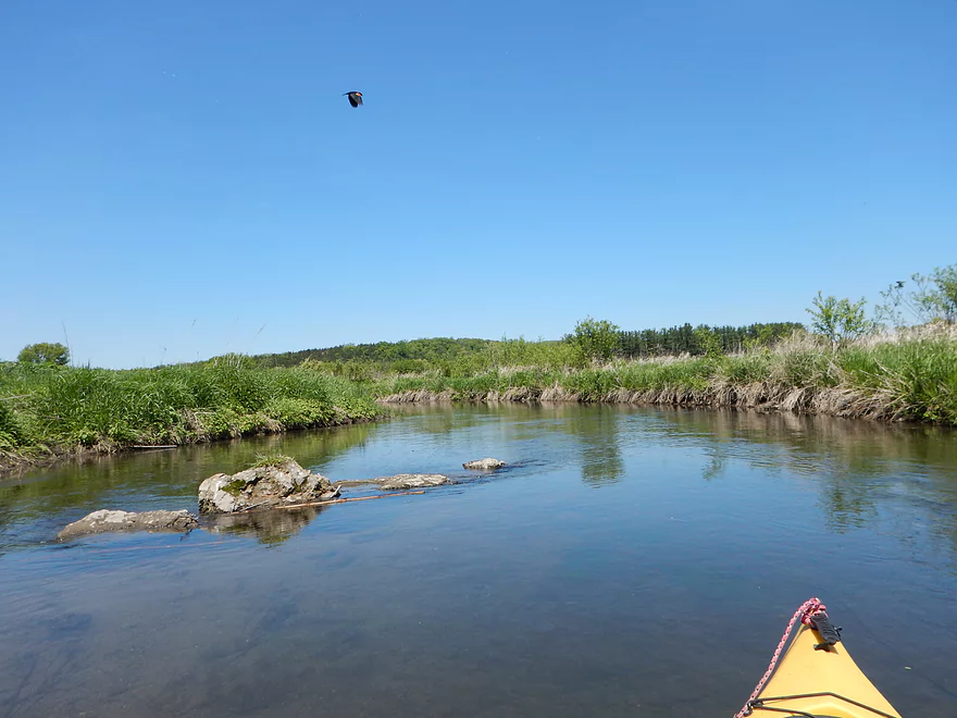
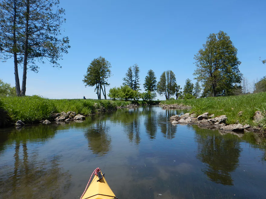
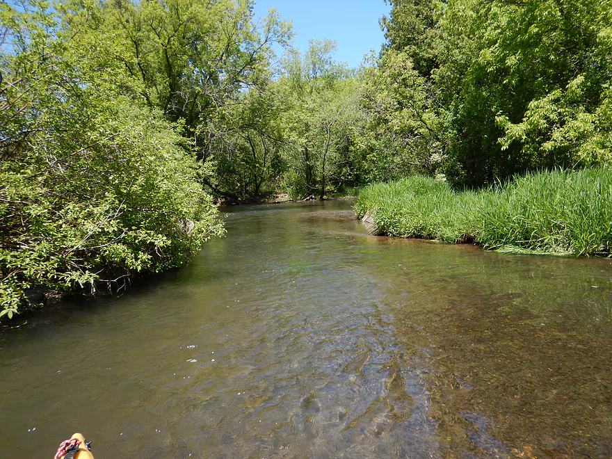
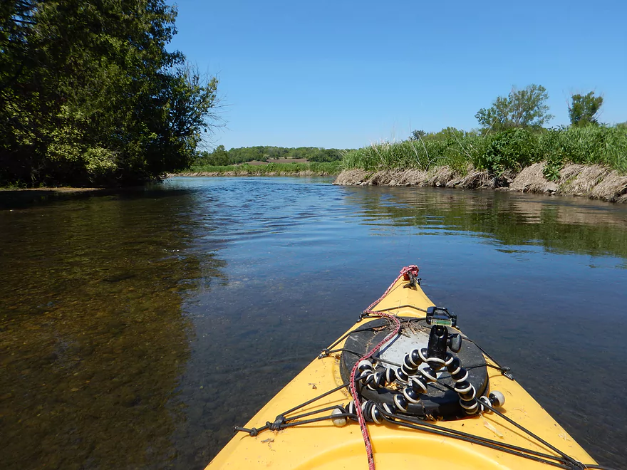
Quite pretty
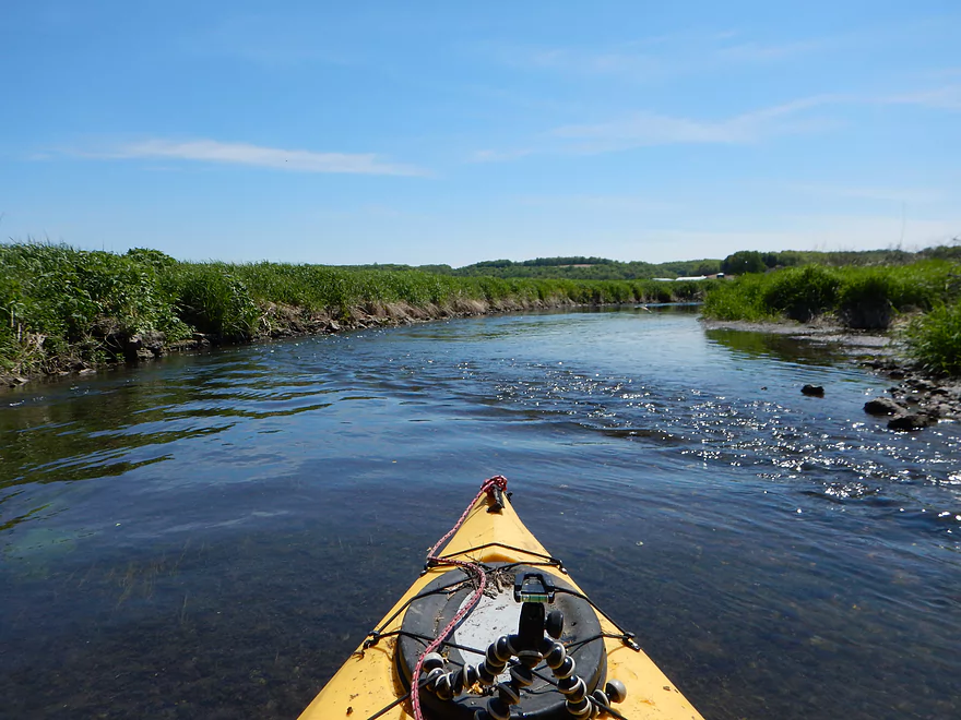
Creek transforms into a pasture paddle for the next mile
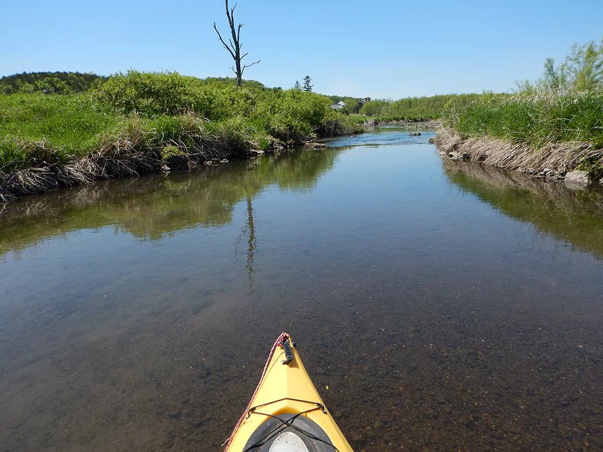
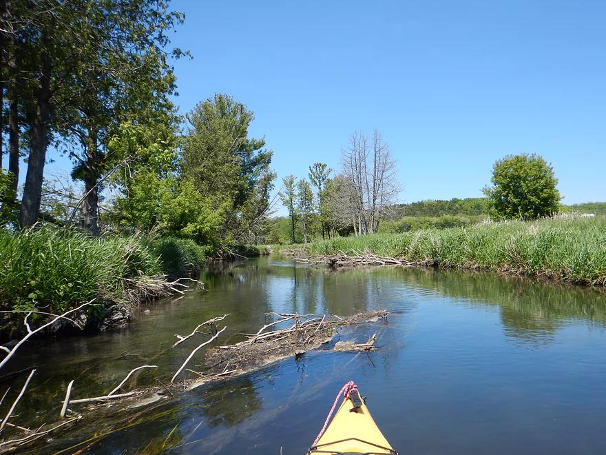
Still nice
Still many riffles
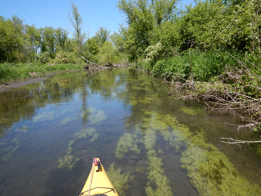
Still very clear
Red-winged blackbird photobombing my shot

Another fun little ledge
Swing gate that is stuck (I fit under it ok though)
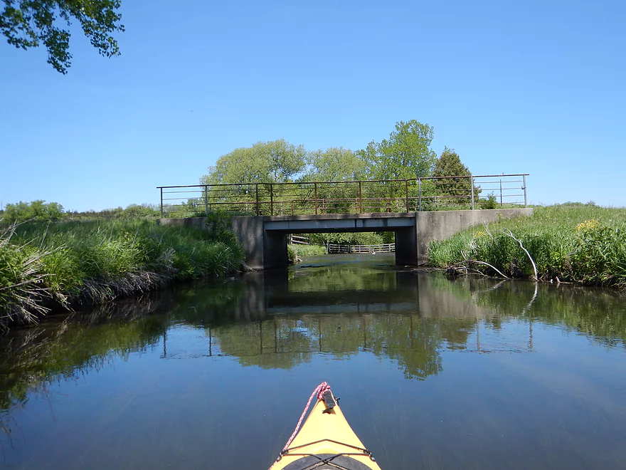
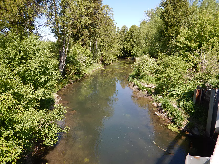
Where there is a bridge…
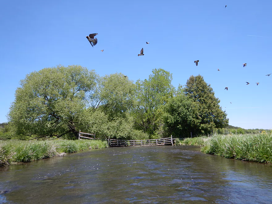
Hopping mad cliff swallows not happy I’m near their nests
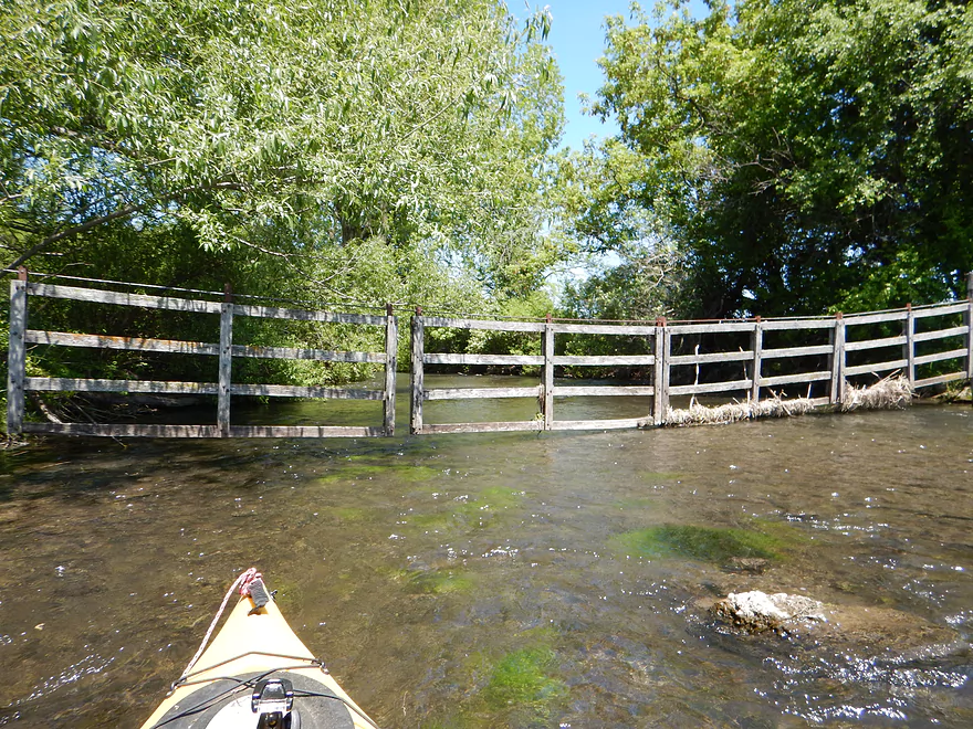
This swing gate works (kind of)
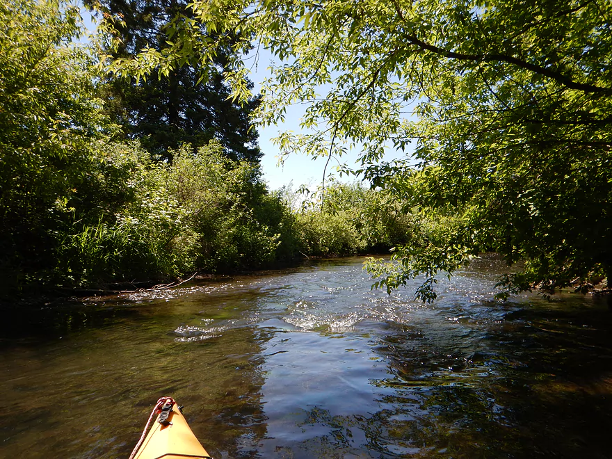
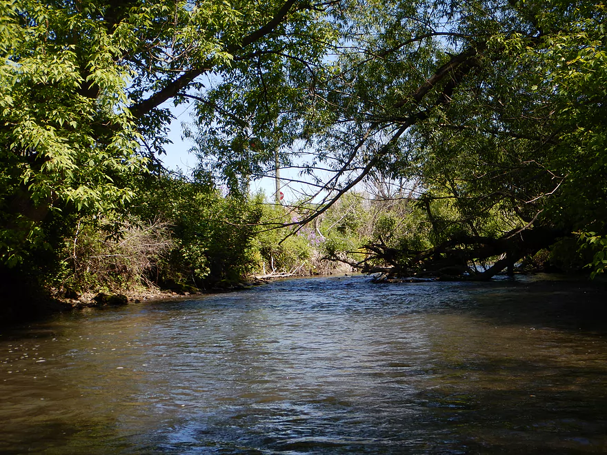
Now entering a wooded section
Attractive red gravel
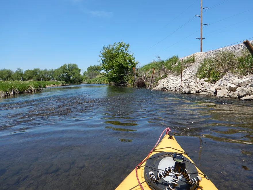
Railroad parallels much of the creek
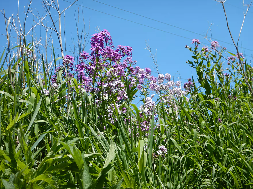
Dame’s Rocket
Never a dull moment
Much of the creek was like this
Rock bluffs in the background
Some zigzagging required
Too shallow…time to walk it
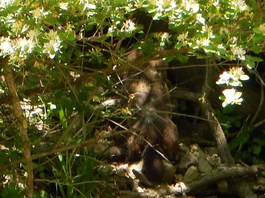
Fat woodchuck
There has been some log jam clearing on the creek
Very serious zigzagger (most would portage)
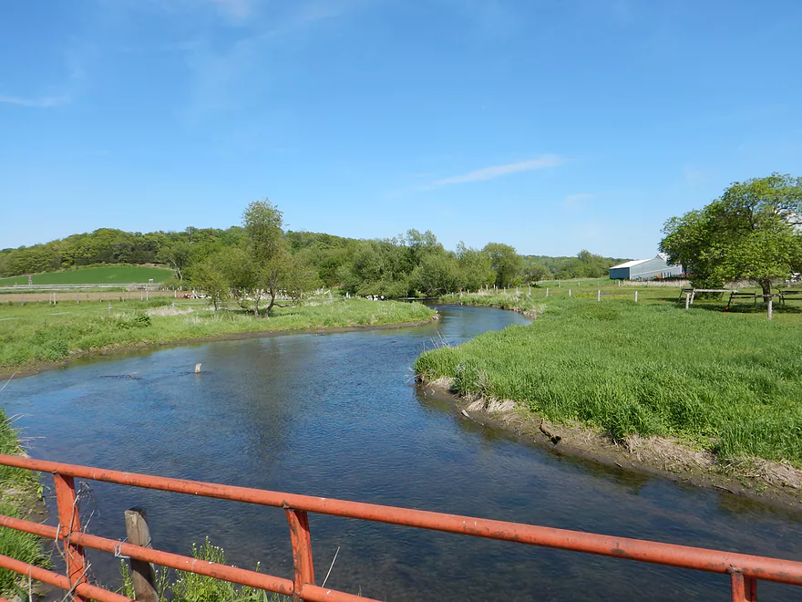
Now entering open pasture again
City of Black Earth in the distance
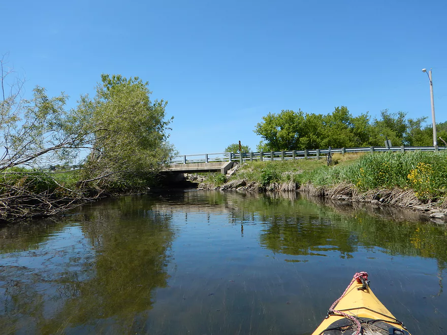
Kahl Road Bridge
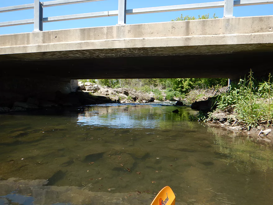
Fun rapids underneath
Black Earth Community Park is a great take-out
Black Earth Creek – Salmo Pond

Black Earth Creek is a stream I really like. I’ve already been on it three times and am planning two more trips on top of this one. Nationally known as a trout stream, it is unique for its good water clarity, good current and gravel substrate. The creek’s character has undoubtedly been shaped by being in an ancient (and gigantic) glacial river bed.
The first mile of the trip is very attractive and runs by Salmo Pond (perhaps a holdover from an old mill?). Water clarity is great with many emerald green aquatic plants in the rocky creek bed. Fun little riffles will lead you by the park proper with attractive pines flanking the creek.
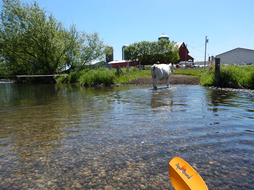
Following this, the creek opens up as it approaches a massive farm off of South Valley Road. Water clarity is still very good. You’ll come up on a rocky ledge (maybe class 1 rapids) that is easy enough to go over but maybe bumpy depending on the depth. After this I saw a number of cows including some crossing the creek. The fence (and curious cows) are easy enough to dodge at low water levels but it is shallow here and easy to get hung up (was anxious to clear the fence before a manure-plastered cow got too close to me).
After going through another fence off of South Valley Road, the creek opens up and really changes in character. Here there are few trees and it is more of an open pasture paddle. Still nice though with good views of the creek valley hillsides.
Following the second swing fence, the creek hugs the railroad and turns into a woodland paddle that was very shaded, peaceful and pleasant. As the creek veers away from Kahl Road, the creek transforms back into a “pasture paddle”.
Finally at the take-out, you can disembark pretty much anywhere, but I chose the northeast side of Kahl Road so I could run the rapids under the bridge (easy peasy at low water levels).
This was a trip I really enjoyed for its diversity, riffles, good water quality and relatively speaking good bank quality (so many Southern Wisconsin Rivers have huge mud banks). I am giving it 4 stars, but might be biased as it is a local trail.
The bridge on Scherbel Road is a good access with pull-off parking usually used by fishermen. Given that this is just upstream of Salmo Pond County Park, why didn’t I put in there instead (which has better parking, better launch & outhouse)? Well, you have to have a Dane County park sticker which I did not have…plus, by putting in upstream of Scherbel Road you can run an additional segment of the creek which is very nice.
Great take-out at Black Earth Community Park. Good parking, launch area and nearby outhouse.
Bike shuttle is mostly on Hwy 14 which is very busy/fast. Annoying but the shoulders are decently sized which is nice. Just minor hills and only 3 miles. If you don’t like being buzzed by semis going over 55 mph, you can do a 4-mile shuttle on KP/Madison Street instead.
Just one log jam that required a portage (which is a shocker as I expected much more). This was an easy portage…but it should be noted there were several other “hoppers”, “duckers” and a serious “zig-zagger” close to Kahl Road that may require others to get out (I use a small 10.5′ boat so can get through tight spots others may not be able to).
Another ‘minor’ issue would be the fences (all marked on the map). The first is east of South Valley Road and, while easy to duck under (and to dodge the cows, literally), there are vertical barbs that hang down and need to be avoided (doable…am not 100% sure it wasn’t electric though).
The second fence is under South Valley Road itself (upstream side). Current is decent here which makes this a tad annoying. Else, I found it reasonably easy to duck under the fence on the far right side (may be a different story in high water).
Maybe a quarter mile after that there is a swing fence that is “stuck”. Not a huge deal as there is a gap you can shoot under with a little ducking. I was careful not to touch this fence as well as I wasn’t sure if it was live or not.
Lastly, there is a swing fence close to Hwy 14 that actually works. Unfortunately not well as the fence is deceptively heavy and not easy to lift up and scoot under at the same time. The fence really does need counterweights… Even if you struggle with this, the water here is shallow and clean so just get out and it would be easy to lead yourself and your kayak through separately.
All in all, this was easy peasy in my book, but more pampered paddlers may find obstacles like this to be annoying, so just a heads up. If you want to read about real log jams, stay tuned for next week’s review…
For the most part very good. Much of the creek had more than plenty needed for depth. Yet, I will say some of the rocky sections were bumpy. Not a big deal as it was easy to get out as needed and there weren’t too many of these shallow hangups. Current was good with many riffles. Nothing as serious as the downstream sections…maybe the biggest being by the take-out and S. Valley Road. If you’re adverse to bumps just go when the water is higher (albeit this may make some snags trickier and would hurt the water clarity).
Not five star, but good water clarity. Substrate is mostly rocky with a slight mud film over the rocks. Some gravel, sandier spots and some mud. Creek seemed to have more silt run-off relative to when I scouted it last year which is a shame. Still a relatively clear creek and very nice.
A water snake, lots of songbirds, a fat woodchuck, many cows and lots of fish, including trout. The fish would congregate in huge schools and generally preferred the very deepest parts of the creek (probably to stay out of sight of herons).
You’ll hear Hwy 14 for pretty much the entire trip. You get used to it though.
Chances are, you’ll see a number of fishermen. Most are friendly. One was not. As I was ducking under a low bridge, I came near the line of one of the anglers. He was enraged and started yelling expletives at me and challenged me to come back to face him. Fun. In my defense, he and his partner turned and had seen me coming in plenty of time to know I was coming under. Both were sitting on the bridge and practically blocking my exit. I was seriously ducking to get under the bridge and not very maneuverable so it was impressive that I didn’t hit their feet (even while proceeding very slowly). On top of this I barely tapped his line as well. Sigh…again most fishermen were and have been really friendly though.
Last gripe would be for how the creek is managed for cows (or isn’t). Cows are dirty animals that if given direct access to a water body will contribute an appreciable amount of bodily waste to it. Not a good thing for a nationally recognized trout stream. Also cows are very heavy and between trampling and munching, damage the plantlife needed to protect the stream from erosion and silt build-up. Ideally, cows would never be given direct access to a stream. Also fences would never cross the creek, and if cows needed to absolutely get to the other side, bridges would be used instead. The DNR offers free grants and expertise to farmers who want to take measures to protect streams and rivers, and it would be great to see these options explored.
Detailed Overview
- Upstream from N. Birch Trail: The creek is small, but might be surprisingly navigable during high water.
- N. Birch Trail to Stagecoach Rd: 0.5 miles. Creek here is small and wooded with possible congestion and a few jams.
- Stagecoach Rd to Cross Plains: 2.0 miles. An intriguing prospect that may now be viable because Black Earth Creek has grown in size. Starts narrow, rocky and wooded then opens up. Maybe 2-3 logjams. Stagecoach Rd may not be a good access as a "No Tresspassing" sign is on one side of the bridge.
- Cross Plains to Salmo Pond: 4.3 miles. Nice stretch. Half of this leg flows by the community of Cross Plains. One fence and one logjam to deal with but not major.
- Salmo Pond to Black Earth Community Park: 4.2 miles. Several fences to deal with, but all in all, one of the more underrated legs on the creek.
- Black Earth Community Park to Olson Road: 4.5 miles.
- Black Earth Community Park to The Shoe Box Landing: 1.5 miles. Nice stretch that passes through the outskirts of Black Earth. Might be a few minor logjams to sneak past.
- The Shoe Box Landing to Olson Road: 2.9 miles. Pleasant open stretch. This is a common "add-on" leg for those wanting to do the popular Mazo trip, but as a longer trip.
- Olson Road to Walking Iron Park: 3.7 miles. The best and most popular leg on the creek. Much of it flows around the outskirts of Mazomanie and though a nice woods.
- Walking Iron Park to W. Hudson Road: 1.1 miles. A small but great section that is recommended as an add-on to an Olson Road trip. This doesn't receive as much upkeep so paddlers may encounter a logjam or two.
- W. Hudson Road to Blynn Road: 4.4 miles. An ok section but nothing special. This leg while once clear, may now have a few surprise logjams.
- Blynn Road to Mouth at Arena: 6.8 miles. Technically now Blue Mounds Creek, this is the weakest section.
Trip Map
Overview Map
Video
Photos Size: